2019 was the first complete year of our National Parks travel blog and it was a big year for us. We wrote 112 blog posts and finished drawing our 50th logo for a National Park (see them all here). In November, we published our first hard copy guidebook to visiting the 61 National Parks (which is available on Amazon). Then on December 20, White Sands was named the 62nd National Park so we will soon be working on a 2nd Edition (see our new logo on Cafe Press).
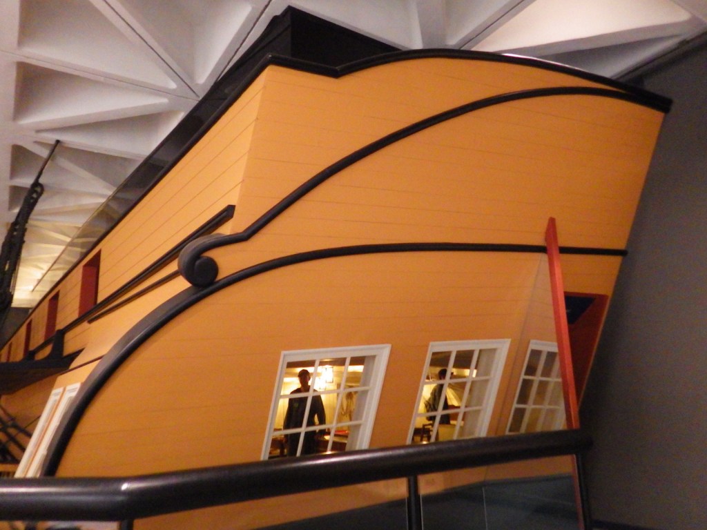
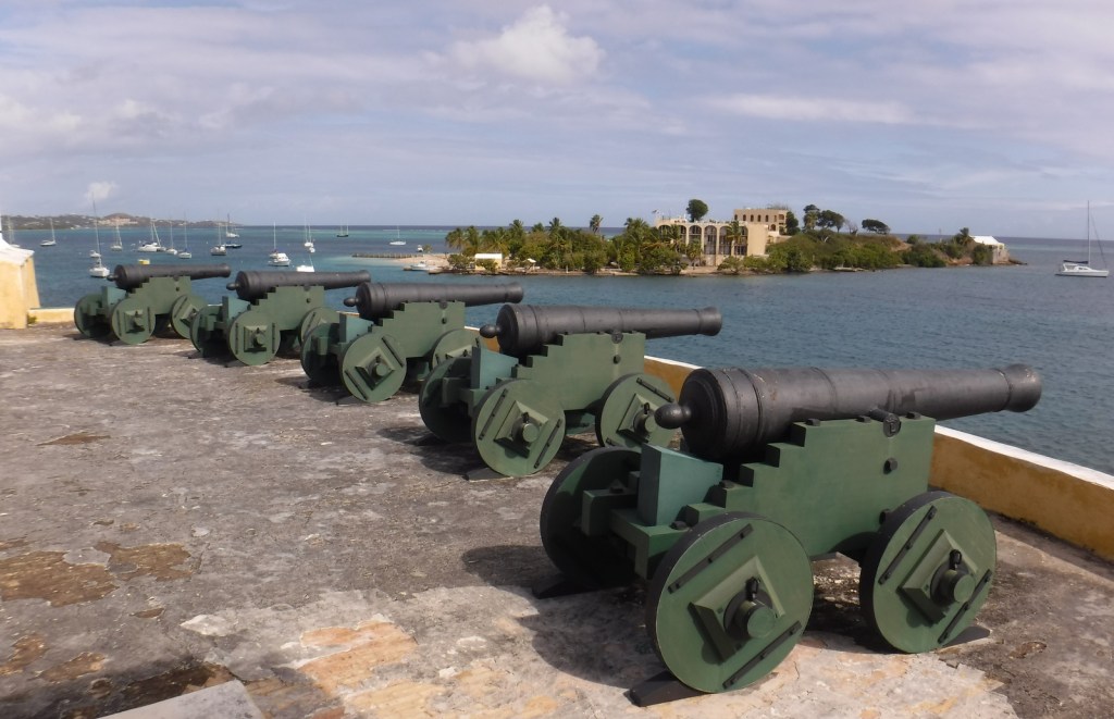
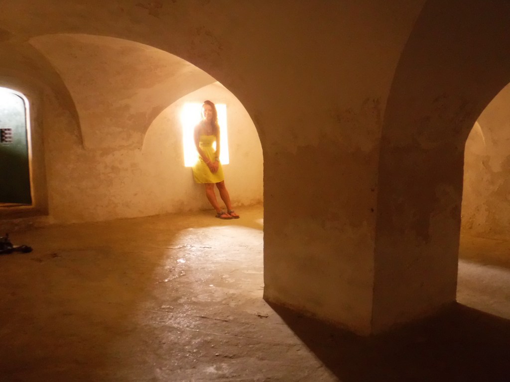
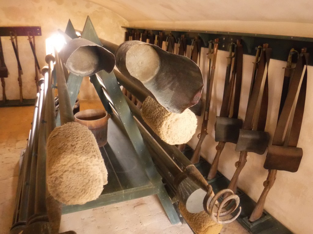
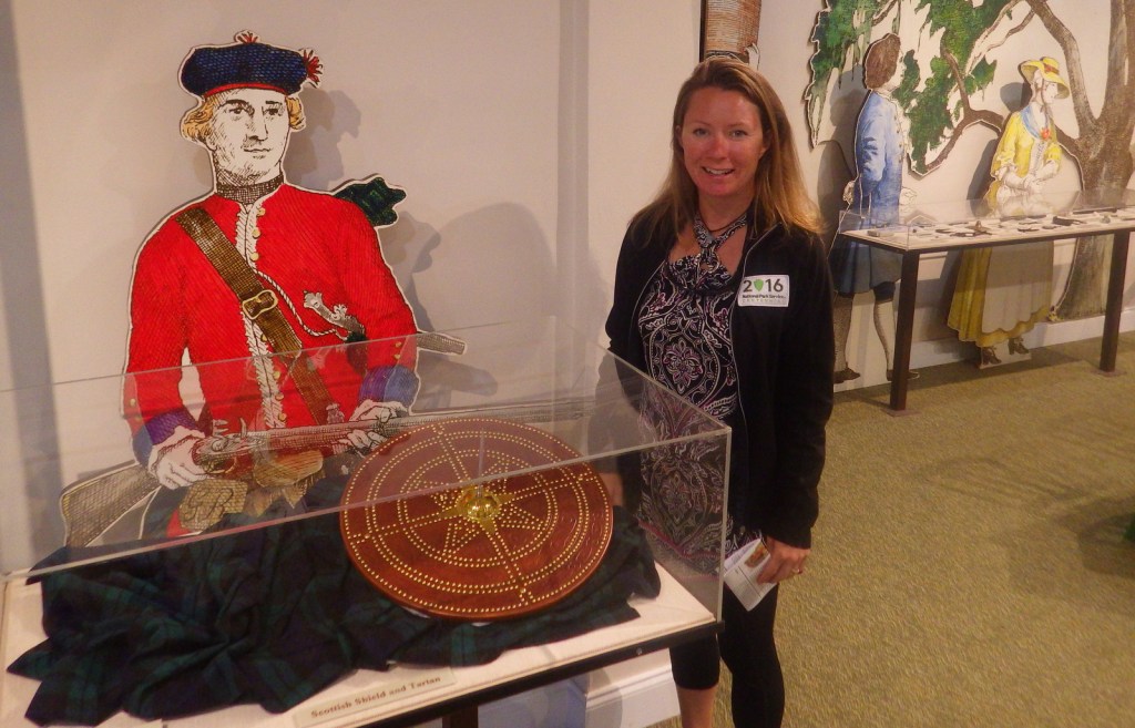
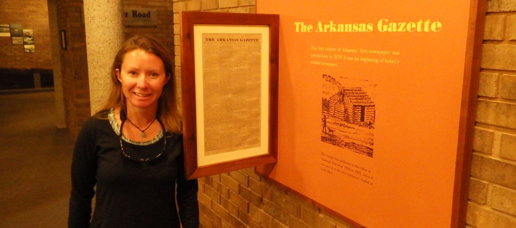
In 2019, we also worked toward our goal of visiting at least 400 of the current 419 units in the National Park Service (NPS) system. In April, we took off two weeks to see all five NPS sites in the U.S. Virgin Islands (Virgin Islands NP, VI Coral Reef NM, Salt River Bay NHP, Buck Island NM, and Christiansted NHS). We crossed off 29 NPS units from our list on a September blitz through Massachusetts, Pennsylvania, New Jersey, and New York. In December, we made it to our final NPS sites in both Florida and Georgia.
We have now visited 364 of 419 NPS units, but most of the remaining sites are far flung, so it will take many separate trips to see the rest. We hope to return to Washington, D.C. soon to see the leftover NPS sites there and in the surrounding states. We are very grateful for the opportunity to travel and see some of the most wonderful parts of America.
We wish you all happy and safe travels in 2020.
Thank you for reading our travel blog.