Category Archives: California

Klamath National Forest

Klamath National Forest

California, Oregon

Managed by U.S. Forest Service, Pacific Southwest Region

1,913,264 acres (1,737,774 federal/ 175,490 other)

Website: https://www.fs.usda.gov/klamath

Overview

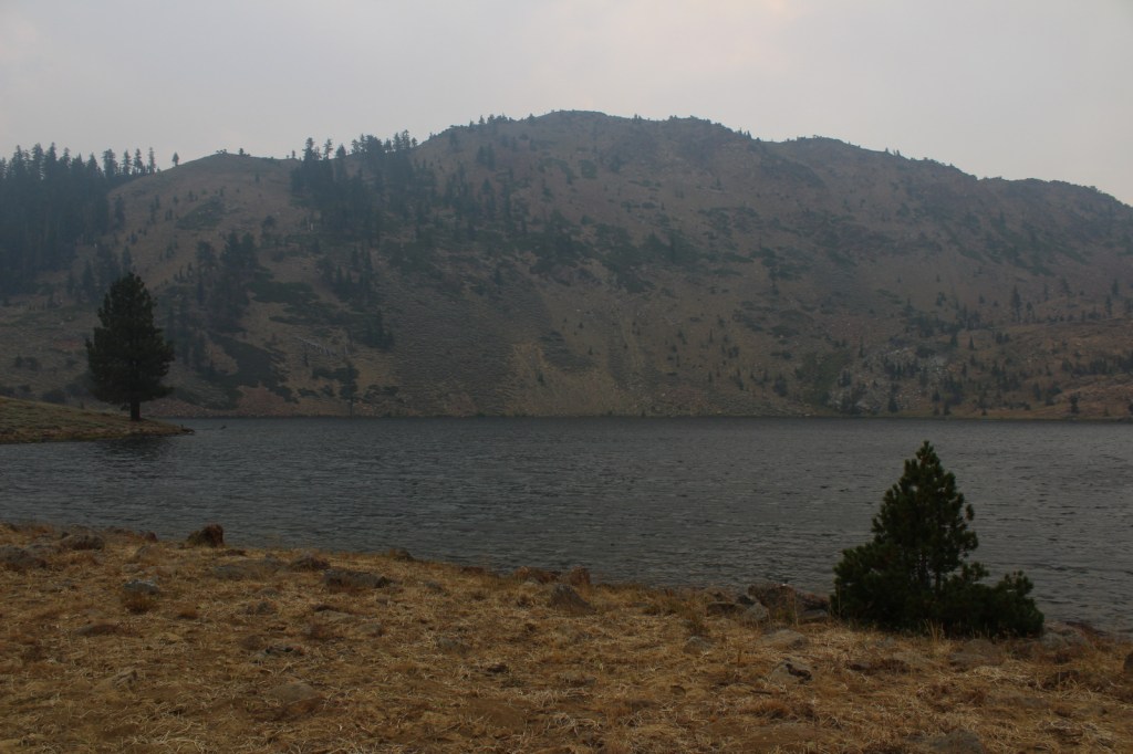
Split into two separate sections by Interstate 5, Klamath National Forest is spread across the Marble, Salmon, Scott, and Siskiyou Mountains of northern California, with less than 2% of its acreage across the border in Oregon.  The National Forest headquarters is located in Yreka on Interstate 5, from where the Forest Service also manages the small Butte Valley National Grassland.  In this remote portion of California, Klamath National Forest borders Modoc, Rogue River, Siskiyou, Six Rivers, Shasta, and Trinity National Forests.  It contains 152 miles of designated National Wild and Scenic Rivers, including some popular for fishing and rafting, like the Klamath River.
Highlights

Horsetail Falls, Kangaroo Lake, Sawyers Bar Catholic Church, Sur Cree Falls, Crater Glass Flow, Panhandle Lake, Chimney Rock, Diamond Lake, Juanita Lake, Cedar Mountain, Kelly Lake, East Boulder Trail, Taylor Lake Trail, Clear Creek National Recreation Trail, Pacific Crest National Scenic Trail

Must-Do Activity

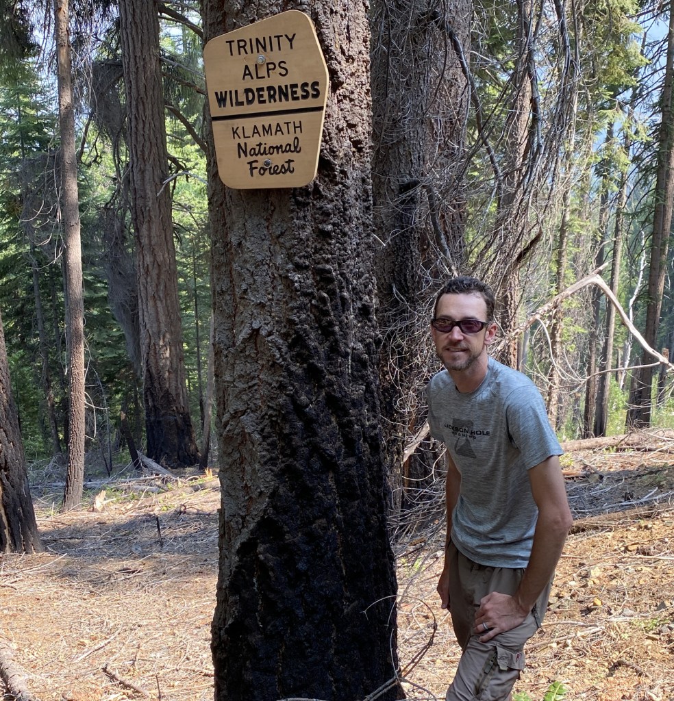
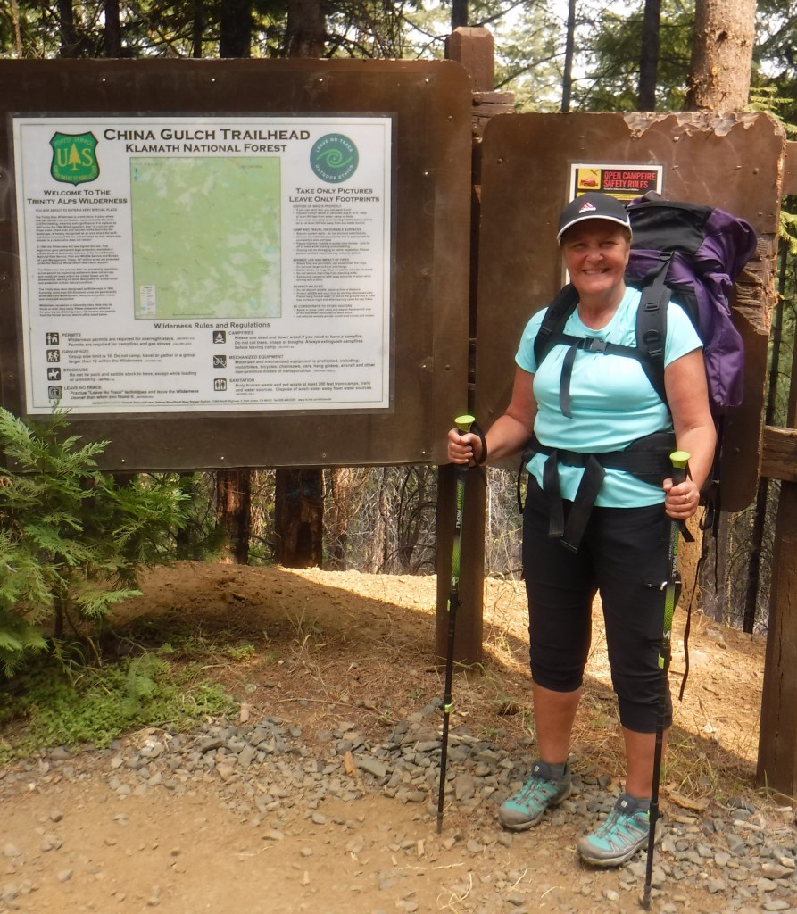
The mountainous western portion of Klamath National is home to several designated Wilderness areas that offer excellent hiking and backpacking (as well as a long stretch of the Pacific Crest National Scenic Trail).  In the Siskiyou Wilderness, a quarter-mile hike leads to Kelly Lake with picnic tables at both ends and an option to continue hiking three miles to a beautiful meadow near Poker Flat.  From the Shackleford Creek Trailhead, a trail follows the creek into the Marble Mountain Wilderness to Log Lake (three miles) and Campbell Lake (4.3 miles).  Russian Lake in the Russian Wilderness is heavily visited, although it is a difficult 4.5-mile hike from the Deacon Lee Trailhead.  Many trails enter the Trinity Alps Wilderness, such as East Boulder (see Best Hike) and Carter Meadows Summit, as well as Long Gulch and Trail Gulch (which together can be a turned into thru-hike with a two-car shuttle)

Best Trail

A popular destination for day hikers, East Boulder Lake is accessed by a 1.7-mile one-way trail that climbs 1,000 feet into the northern Trinity Alps Wilderness.  Due to the number of user trails around the lake, it is difficult to navigate to the 7,100-foot pass, but continue southeast past Upper Boulder Lake and keep heading uphill to locate it.  It is 1.2 miles past East Boulder Lake to the junction with the Pacific Crest National Scenic Trail that runs east-west following the summits of the Scott Mountains (in Shasta National Forest).  It is possible to turn this into a loop hike by connecting with the Middle Boulder Trail and Boulder Tie Trail. 

Watchable Wildlife

Elevations in Klamath National Forest range from 900 to nearly 9,000 feet supporting a variety of ecosystems, including 168,000 acres of old-growth forest.  Large mammals found here include black bears, mountain lions, bobcats, coyotes, foxes, pine martens, skunks, raccoons, mule deer, and possibly gray wolves.  Fishing for rainbow trout, steelhead, and salmon is a major draw to Klamath National Forest with its countless lakes and major rivers like the Klamath, Salmon, Scott, and Trinity. 

Photographic Opportunity

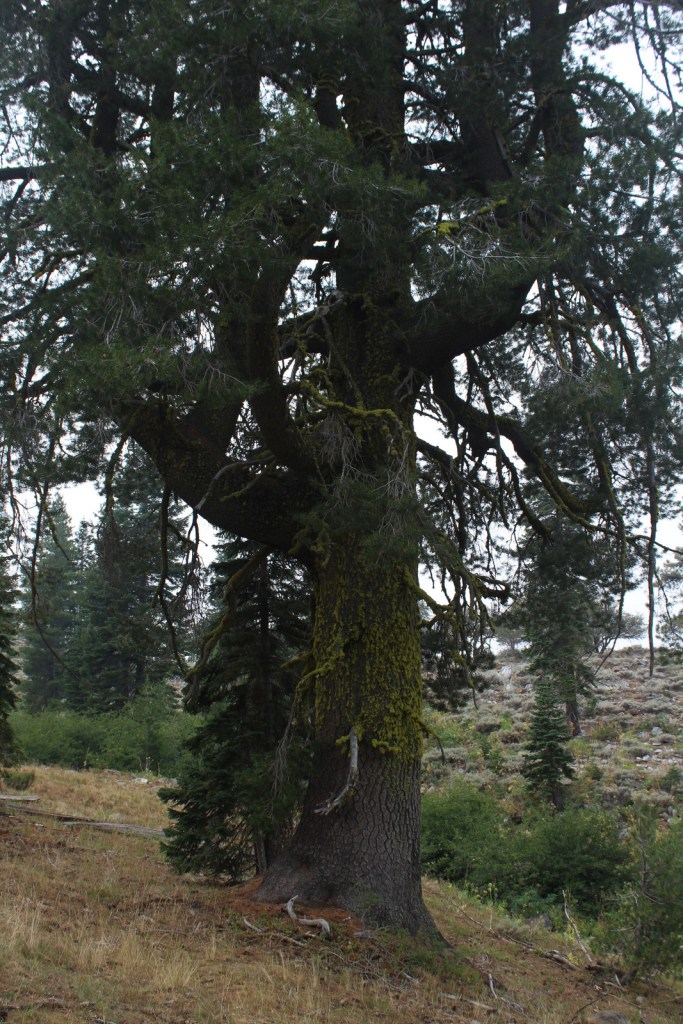
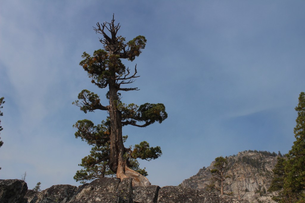
The abundant rainfall that soaks the coastal mountains of California allows conifer trees to reach impressive diameters, like this ponderosa pine we found in the Trinity Alps Wilderness.

Peak Season

Summer

Fees

A free Wilderness Entry Permit is required for overnight trips in the popular Trinity Alps Wilderness where group size is limited to ten people.

Road Conditions

Twisty but paved State Route 96 traverses the western part of the National Forest providing access to the Klamath River, trailheads for the Wilderness areas, and campgrounds.  East Boulder Trailhead is located 7.8 miles from the town of Callahan, which is in a remote part of California north of Clair Engle Lake.  A high-clearance vehicle may help, but is not required for the unpaved final part of the drive.  In the remote eastern portion of the National Forest, a scenic back road travels six miles from Laird’s Camp over Gold Digger Pass near Lava Beds National Monument.

Camping

There are several campgrounds located along paved State Route 96, including Tree of Heaven, Totten, Rocky Bar, and Sulphur Springs (where Elk Creek Trail is a shady two-mile hike to a picnic area by the creek).  In the National Forest’s eastern portion, Juanita Lake Campground has a 1.5 mile paved, barrier-free trail that circles the lake. 

Wilderness Areas

Marble Mountain Wilderness

Red Buttes Wilderness

Russian Wilderness

Siskiyou Wilderness (also in Six Rivers National Forest)

Trinity Alps Wilderness (also in Shasta, Six Rivers, and Trinity National Forests)

Related Sites

Butte Valley National Grassland (California)

Lava Beds National Monument (California)

Oregon Caves National Monument and Preserve (Oregon)

Nearest National Park

Redwood

Conifer Tree Species

ponderosa pine, Jeffrey pine, whitebark pine, foxtail pine, Douglas-fir, incense-cedar, western juniper, red fir, white fir, silver fir

Flowering Tree Species

Pacific madrone, California-laurel, elderberry, curlleaf mountain mahogany, sagebrush

Explore More – How many species of conifers (or Gymnosperms) have been recorded in the Russian Wilderness, possibly the most biodiverse spot for these plants in California, if not the world?

Learn more about this and the 154 other National Forests in our new guidebook Out in the Woods

We are a participant in the Amazon Services LLC Associates Program, an affiliate advertising program designed to provide a means for us to earn fees by linking to Amazon.com and affiliated sites.
Mono Basin National Scenic Area

Mono Basin National Scenic Area

California

Managed by U.S. Forest Service, Pacific Southwest Region

128,303 acres

Website: https://www.fs.usda.gov/detail/inyo/specialplaces/?cid=stelprdb5129903

Overview

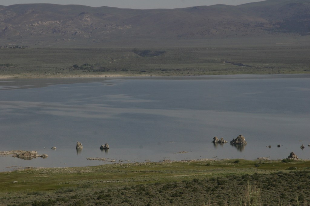
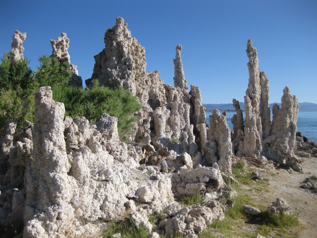
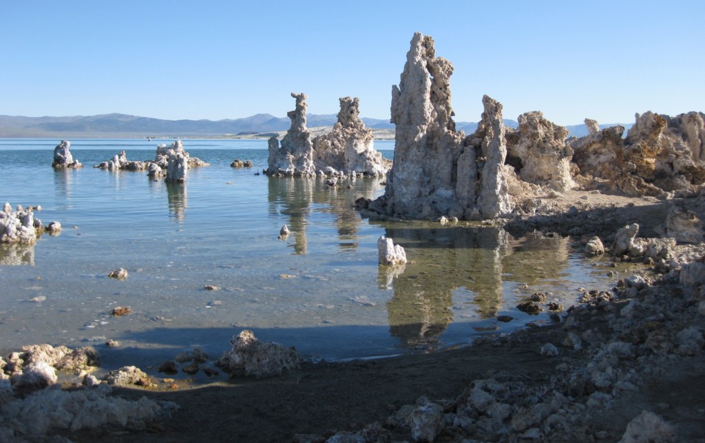
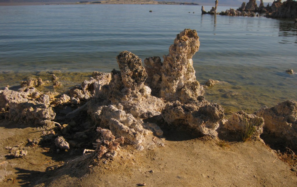
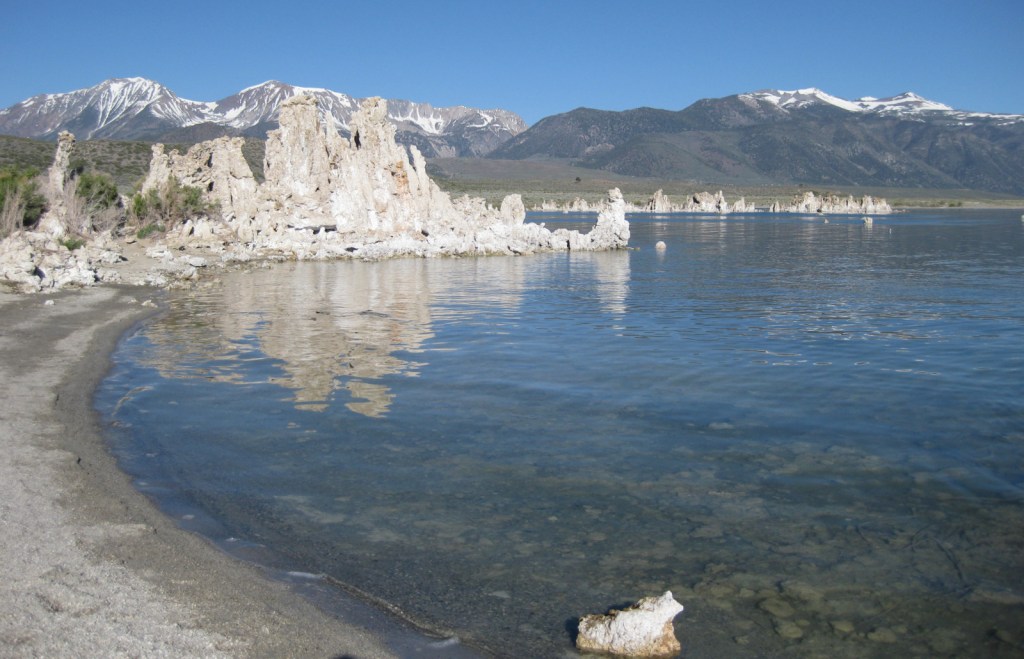
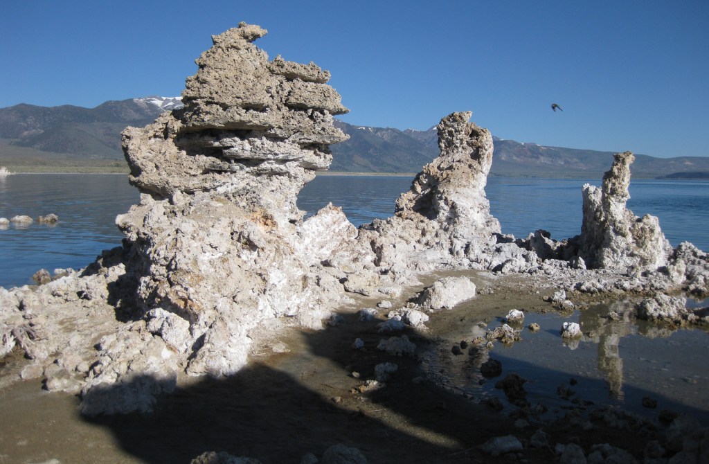
Established in 1984, this portion of Inyo National Forest is a geological wonderland that was once part of the former Mono National Forest.  Along the edge of this ancient salt lake are ten-foot-tall tufa towers exposed after water levels dropped beginning in 1941 when river water was diverted to Los Angeles.  Tufa is limestone that precipitated when the alkaline lake water combined with calcium from underground springs.  Paoha Island in the center of Mono Lake is also a nesting area for snowy plovers and California gulls, giving its salty waters even more of a Pacific Ocean impression.  This entire region is volcanically active as evidenced by isolated hot springs, cinder cones that erupted as recently as 350 years ago, and the forest devastation caused by a 1989 release of carbon dioxide from Horseshoe Lake.  It is also rich in minerals, showcased by the mines at Bodie State Historic Park, a ghost town conserved in “arrested decay.” 

Highlights

Mono Basin National Forest Scenic Area Visitor Center, film, Mono Lake Tufa State Natural Reserve, Panum Crater, Mono Craters, Bodie State Historic Park, South Tufa Trail

Must-Do Activity

Open May through October, the Mono Basin National Forest Scenic Area Visitor Center is located on Highway 395, just east of Tioga Pass (the eastern entrance to Yosemite National Park).  It features interactive displays on geology and human history, the 20-minute film Of Ice and Fire: A Portrait of the Mono Basin, photo exhibits, and a bookstore.  Situated atop a hill on the lake’s western shore, it offers an overlook of Mono Lake, Paoha Island, and the Mono Craters.

Best Trail

On the lake’s south side is the fascinating Mono Lake Tufa State Natural Reserve, established in 1981.  A short trail leads from the unpaved parking area to the shoreline.  Just to the west, the 0.7-mile Plug Trail enters the cone of Panum Crater, a 650-year-old plugged dome volcano.

Instagram-worthy Photo

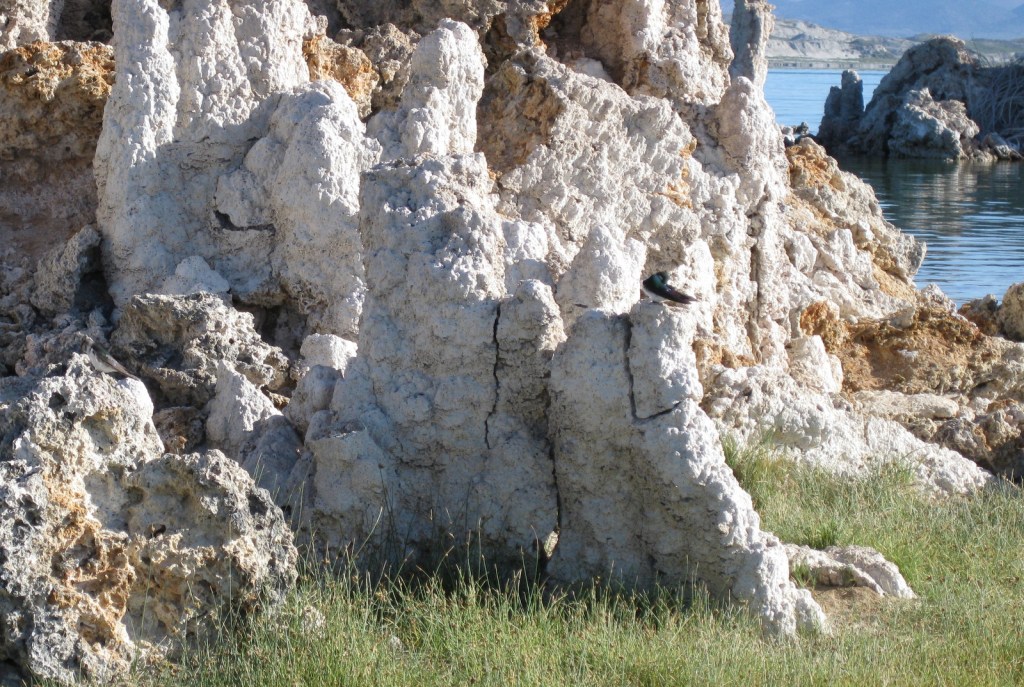
The fragile tufa formations are a great resting place for violet-green swallows and other migratory birds that come to feed on the lake’s abundant brine shrimp and alkali flies.

Peak Season

Summer

Fees

$3 per person at South Tufa Trail or America the Beautiful pass; $8 per person to enter Bodie State Historic Park

Road Conditions

There are well-graded dirt roads to Panum Crater, South Tufa, and Bodie State Historic Park.  However, the routes on the north and east sides of Mono Lake are loose sand that require a four-wheel-drive vehicle.

Camping

There are campgrounds at June Lake and along Highway 120 to Tioga Pass, but that road is closed in the winter.  Dispersed camping is allowed in Inyo National Forest, but be careful on the sandy roads around Mono Lake.

Related Sites

Inyo National Forest (California-Nevada)

Manzanar National Historic Site (California)

Devils Postpile National Monument (California)

Death Valley National Park (California-Nevada)

Nearest National Park

Yosemite

Explore More – Most of the 27 Mono Craters are phreatic volcanoes that have been plugged or over-topped by rhyolite domes and lava flows; what does “phreatic” mean?

Inyo National Forest

Inyo National Forest

California, Nevada

Managed by U.S. Forest Service, Pacific Southwest Region

2,048,459 acres (1,948,726 federal/ 99,733 other)

Website: https://www.fs.usda.gov/inyo

Overview

Inyo National Forest was established by President Teddy Roosevelt in 1907 to accommodate the Los Angeles Aqueduct, so it is mostly sagebrush slopes without much dense forest cover.  We added it to our Top 10 Movies Filmed in National Forests after reading its history as a filming location.  Inyo National Forest offers the shortest route to Mt. Whitney, the tallest peak in the contiguous U.S. at 14,495 feet in elevation.  Its proximity to Badwater Basin (282 feet below sea level) in Death Valley National Park makes its rise all the more impressive.  You will need a permit to summit, since this popular peak lies within Sequoia National Park.  One added benefit is you will learn all about how to use a “W.A.G. bag.”  In addition to accessing the eastern Sierra Nevada (see Best Trail), Inyo National Forest also offers a portal to the beautiful White Mountains along the California-Nevada border (see Must-Do Activity) and 800,000 acres of designated Wilderness. 

Highlights

Mono Basin National Scenic Area (see our blog post), Lee Vining Canyon Scenic Byway, Tioga Pass, Ancient Bristlecone Pine Forest, Convict Lake, Hot Creek Geologic Site, Mammoth Lakes, Minaret Summit Vista, Crystal Lake, Mt. Whitney Trail, Minaret Falls, Pacific Crest National Scenic Trail

Must-Do Activity

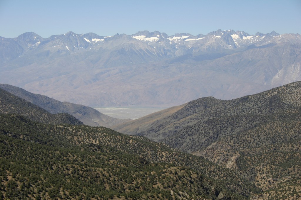
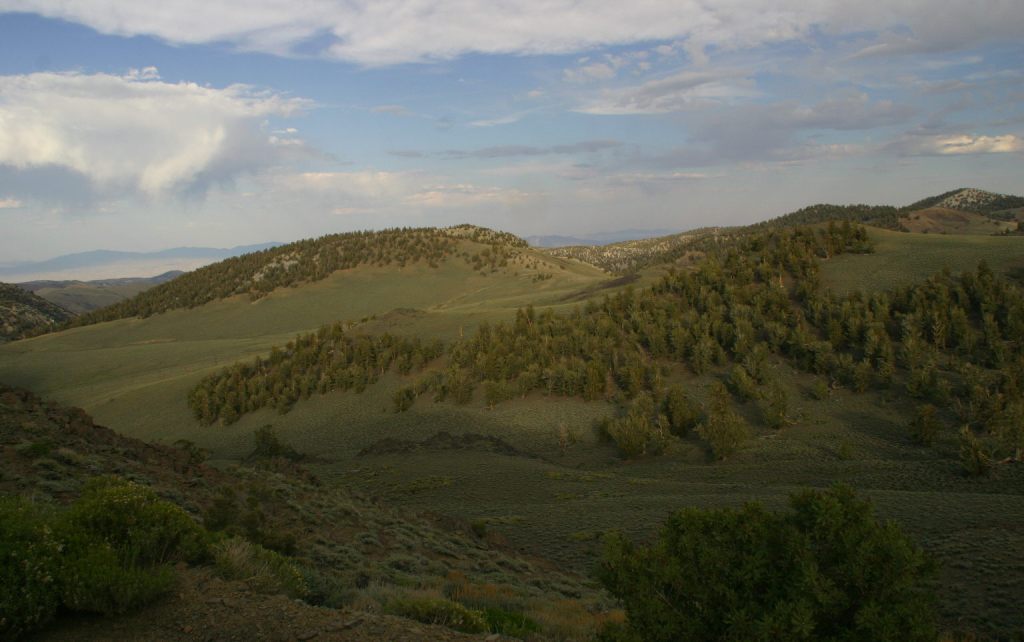
In the White Mountains, a paved road leads to the U.S. Forest Service visitor center at the Ancient Bristlecone Pine Forest, where a 4.5-mile loop trail through the Methuselah Grove passes one live Great Basin bristlecone pine tree recorded at over 5,000 years of age.  That ranks it as the oldest living single-stem tree on the planet based on annual tree-ring measurements.  You can continue to drive above 11,000 feet in elevation along a narrow gravel road famous for puncturing tires (so bring a spare).  The route offers awesome views of the Owens Valley and Mt. Whitney, then takes you to the Patriarch Grove, a wonderful park of gnarled Great Basin bristlecone pine trees surrounded by snow throughout the summer. 

Best Trail

Onion Valley Road west of Independence dead ends at the trailhead for Kearsarge Pass in the Sierra Nevada.  The trail is a series of endless switchbacks that lead past beautifully twisted foxtail pines and unbelievably blue lakes up to the 11,823-foot pass at the boundary with Kings Canyon National Park.  The view from the pass is worth the effort, even if you do not proceed to enter the National Park, for which you need a permit to camp overnight.  John Muir called these mountains “the range of light,” and from up here you will surely see why. 

Watchable Wildlife

Inyo National Forest is on the rain-shadow side of the Sierra Nevada, so it generally receives less precipitation throughout the year than the western slopes, especially at lower elevations.  In the conifer forests of the mountains look for mule deer, black bears, weasels, martens, mountain lions, and bobcats.  California quail, mountain quail, sooty grouse, and wild turkeys are common game birds.  Watch the skies for raptors like bald eagles, ospreys, red-tailed hawks, and turkey vultures. 

Instagram-worthy Photo

Sun-streaked and wind-blasted branches of bristlecone pine trees twist in backbreaking curls, stretching up towards the deep blue skies above 10,000 feet elevation.

Peak Season

Summer

Fees

There are no day use fees to our knowledge.

Road Conditions

The road is paved to the trailhead for the 4.5-mile loop through the Methuselah Grove in the Ancient Bristlecone Pine Forest.  The unpaved road beyond is famous for puncturing tires (so take it slow and bring a spare) and retains snow late into the summer.  A shuttle ticket or camping permit is required to drive into the National Forest west of the ski resort town of Mammoth Lakes to access Devils Postpile National Monument.

Camping

Grandview Campground near the Ancient Bristlecone Pine Forest lives up to its name.  There is a campground at Whitney Portal Trailhead and two on Onion Valley Road on the way to the trailhead for Kearsarge Pass (plus some epic dispersed campsites). 

Wilderness Areas

Ansel Adams Wilderness (also in Sierra National Forest and Devils Postpile National Monument)

Boundary Peak Wilderness

Golden Trout Wilderness (also in Sequoia National Forest)

Hoover Wilderness (also in Toiyabe National Forest)

Inyo Mountains Wilderness

John Muir Wilderness (also in Sierra National Forest)

Owens River Headwaters Wilderness

South Sierra Wilderness (also in Sequoia National Forest)

White Mountains Wilderness

Related Sites

Humboldt National Forest (Nevada)

Yosemite National Park (California)

Manzanar National Historic Site (California)

Nearest National Park

Kings Canyon

Conifer Tree Species

Great Basin bristlecone pine, foxtail pine, Jeffrey pine, ponderosa pine, lodgepole pine, Douglas-fir, California red fir, white fir, incense-cedar

Flowering Tree Species

quaking aspen, greenleaf manzanita, sagebrush

Explore More – What 1973 film starring Clint Eastwood was filmed in Inyo National Forest?

Learn more about this and the 154 other National Forests in our new guidebook Out in the Woods

Eldorado National Forest

Eldorado National Forest

California, Nevada

Managed by U.S. Forest Service, Pacific Southwest Region

887,721 acres (686,667 federal/ 201,054 other)

Website: https://www.fs.usda.gov/eldorado

Overview

Located in California’s Sierra Nevada, Eldorado National Forest has ghost towns dating back to the 1849 gold rush.  El Dorado is Spanish for “the golden one,” which often referred to the fabled Lost City of Gold sought by the Conquistadors.  The single-word spelling Eldorado may have been a clerical error dating back to the creation of the National Forest in 1910.  Elevations range from 1,000 feet in the foothills to more than 10,000 feet in the Sierra Nevada.  In addition to 297 lakes and reservoirs, it contains 611 miles of fishable streams in the drainages of the North Fork of the Mokelumne River, Cosumnes River, and the Middle and South Forks of the American River.  There are 349 miles of trails in Eldorado National Forest, including a portion of the Pacific Crest National Scenic Trail that follows mountain ridges on the west side of Lake Tahoe.

Highlights

Carson Pass Scenic Highway, Lake Tahoe Basin Management Unit, Tallac Historic Site, Caldor Auto Tour, Silver Lake, Crystal Basin Recreation Area, Loon Lake, Ice House Reservoir, Traverse Creek, Horsetail Falls, Fourth of July Lake, Cascade Falls Loop Trail, Pacific Crest National Scenic Trail

Must-Do Activity

The Forest Service’s Lake Tahoe Basin Management Unit is composed of 150,000 acres of Eldorado, Tahoe, and Toiyabe National Forests surrounding Lake Tahoe.  It was established in 1973 to preserve and restore the ecosystem of one of the nation’s most popular playgrounds.  Averaging 1,000 feet in depth, Lake Tahoe is famous for its water clarity and, although it has no outlet to the ocean, it is dammed on the Truckee River to control water levels.  After the 1858 discovery of the Comstock Lode in nearby Virginia City, Nevada, extensive deforestation occurred around the lake.  This eventually led to conservation efforts to place 78% of its watershed into National Forests starting in 1899.  Hiking trails uphill from the lake’s shoreline (mostly privately owned) are almost entirely within National Forests, including the circumnavigating Tahoe Rim Trail.

Best Trail

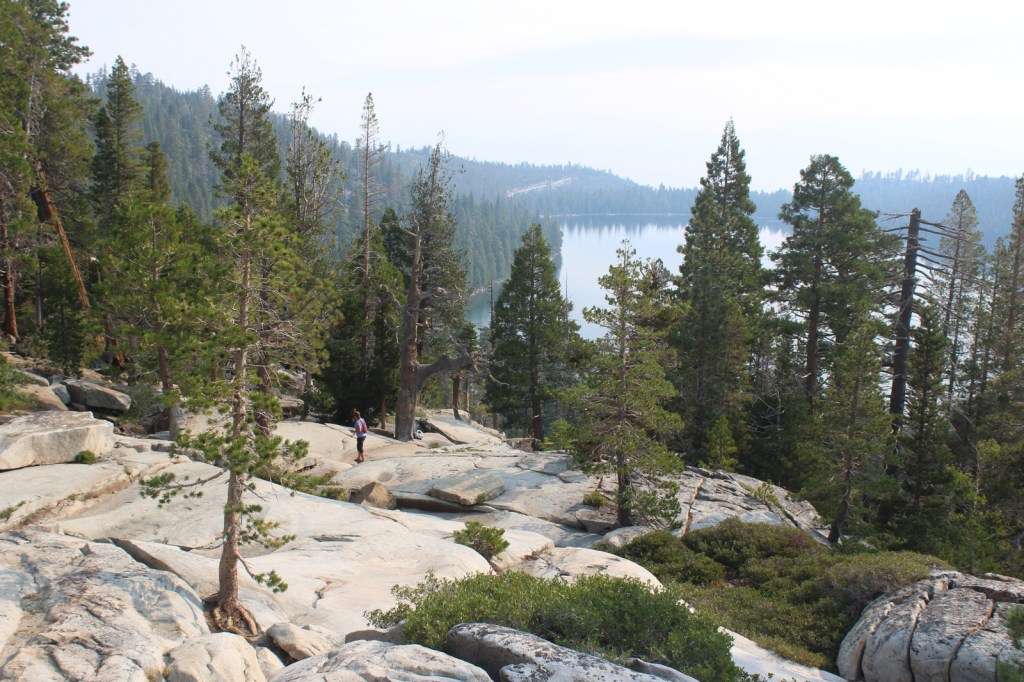
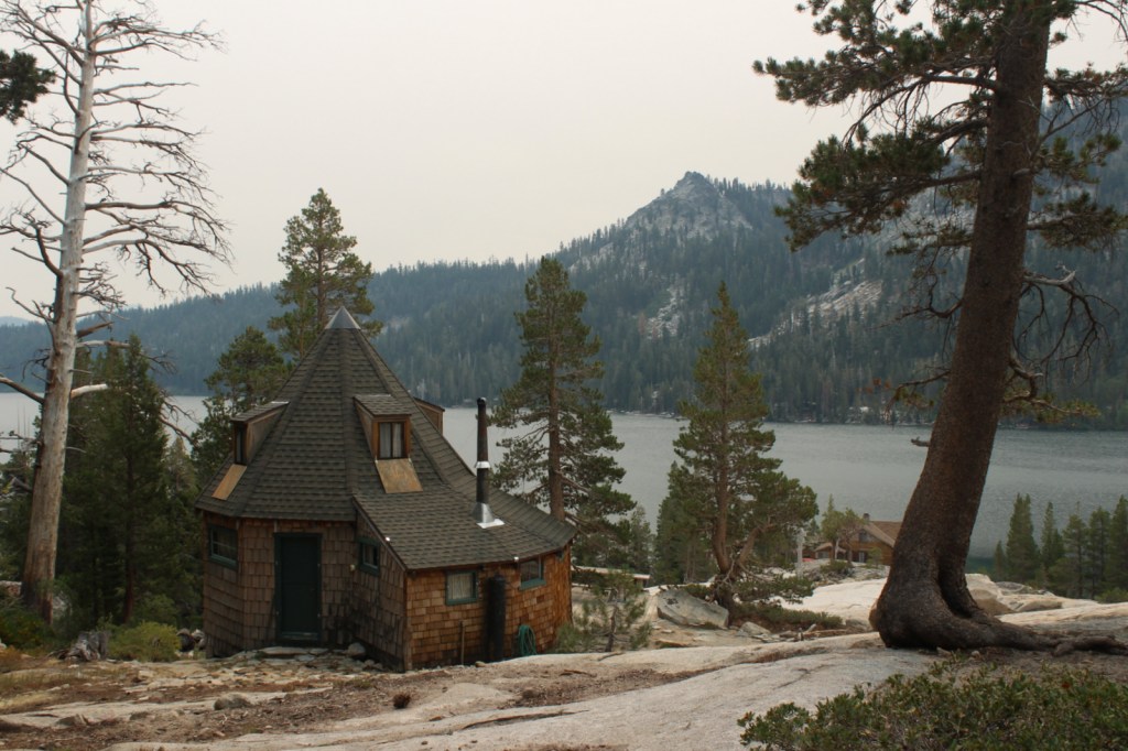
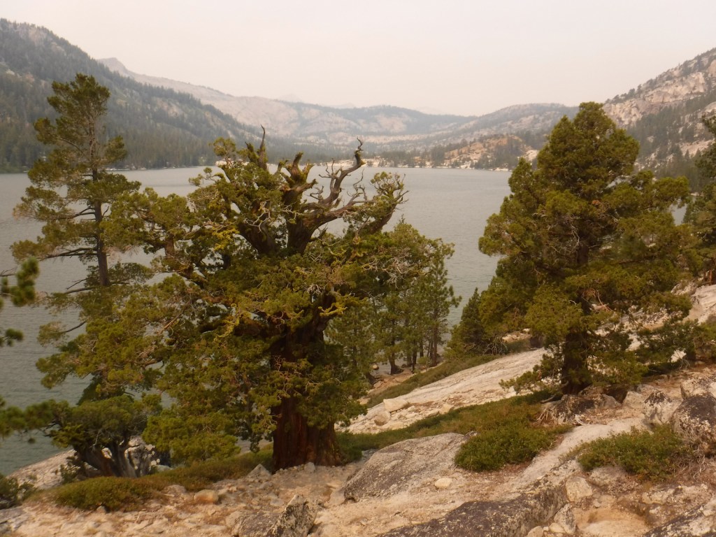
Near the National Forest’s border with Lake Tahoe, the 63,960-acre Desolation Wilderness is the country’s most visited Wilderness area on a per acre basis.  With the exception of thru-hikers on the Tahoe Rim and Pacific Crest Trails, a daily quota limits the number of backpackers in the Desolation Wilderness.  Even day hikers are required to carry a permit and a bear box is recommended for all overnight users.  We took a smoke-obscured hike five miles one-way from Lower Echo Lake up to Lake Aloha in the Desolation Wilderness, a popular stop for backpackers.

Watchable Wildlife

A Mediterranean climate exists in the lower elevation ranges of the National Forest, while alpine regions can receive more than 15 feet of snowfall, so there is a wide diversity of wildlife.  In the conifer forests of the Sierra Nevada look for mule deer, black bears, weasels, martens, mountain lions, and bobcats.  California quail, mountain quail, sooty grouse, and wild turkeys are common game birds.  Watch the skies for raptors like bald eagles, ospreys, red-tailed hawks, and turkey vultures. 

Instagram-worthy Photo

By the time we visited in mid-August, Cascade Falls was barely a trickle compared to its raging snowmelt flow in the springtime.  The strenuous one-mile hike from Bayview Trailhead was still worth the effort for the sweeping views of Cascade Lake and Lake Tahoe’s Emerald Bay (at least when it is not so smoky). 

Peak Season

Summer

Fees

None

Road Conditions

Eldorado National Forest has 2,367 miles (3,809 km) of roads, including 400 miles of private roads.  Many of these are rough and unpaved and may require high-clearance or four-wheel drive, especially the infamous Rubicon Trail on the western shore of Lake Tahoe.

Camping

Bayview Campground is located across Highway 89 from Lake Tahoe at the Bayview Trailhead near scenic Eagle Falls and Emerald Bay State Park.  Woods Lake has a campground and a 3.5-mile trail to Fourth of July Lake, plus there are campgrounds at Fallen Leaf Lake, Ice House Reservoir, Loon Lake, Upper Valley Reservoir, and Silver Lake.

Wilderness Areas

Desolation Wilderness

Mokelumne Wilderness (also in Stanislaus and Toiyabe National Forests)

Related Sites

Devils Postpile National Monument (California)

Whiskeytown-Shasta-Trinity National Recreation Area (California)

Rosie the Riveter/World War II Home Front National Historical Park (California)

Nearest National Park

Yosemite

Conifer Tree Species

red fir, white fir, Douglas-fir, incense-cedar, ponderosa pine, lodgepole pine, Jeffrey pine, gray pine, sugar pine, foxtail pine, western juniper

Flowering Tree Species

Pacific dogwood, California buckeye, manzanita

Explore More – Traverse Creek near Placerville is known for its exposed serpentine rock, which contains what elements toxic to many trees and plants?

Learn more about this and the 154 other National Forests in our new guidebook Out in the Woods

We are a participant in the Amazon Services LLC Associates Program, an affiliate advertising program designed to provide a means for us to earn fees by linking to Amazon.com and affiliated sites.

Cleveland National Forest

Cleveland National Forest

California

Managed by U.S. Forest Service, Pacific Southwest Region

568,634 acres (439,281 federal/ 129,353 other)

Website: https://www.fs.usda.gov/cleveland

Overview

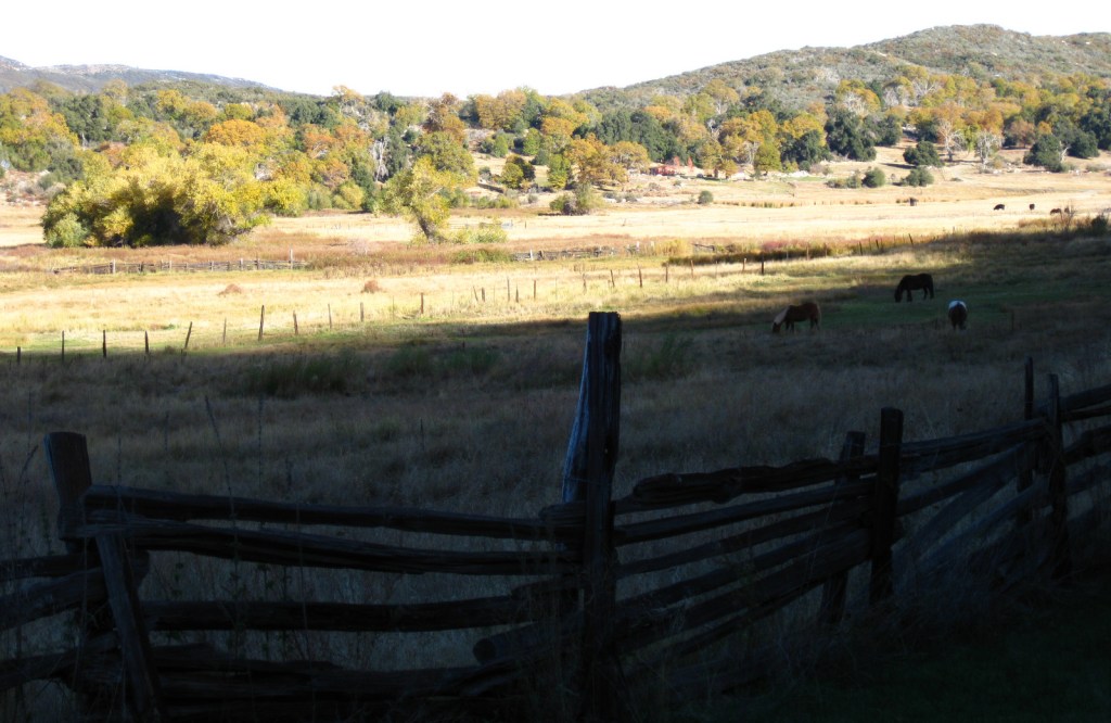
In southwestern California, Cleveland National Forest was established in 1908 and named for the U.S. President who added 21-million acres to the Forest Reserve system in the 1890s.  The National Forest is notable for its Mediterranean climate and low elevation (its highest point is 6,271-foot Monument Peak).  Most of its acreage is chaparral, not forest, making it more prone to frequent wildfires.  Despite its proximity to San Diego and the densely-populated Pacific Coastline, it contains four designated Wilderness areas. 

Highlights

Sunrise Scenic Byway, Henshaw Scenic Vista, Monument Peak, Three Sisters Falls, Laguna Mountain Recreation Area, Cedar Creek Falls, Sunset Trail, Noble Canyon National Recreation Trail, Agua Tibia Trail, San Juan Loop Trail, Desert View Nature Trail, Pioneer Mail Trail, Observatory Trail

Must-Do Activity

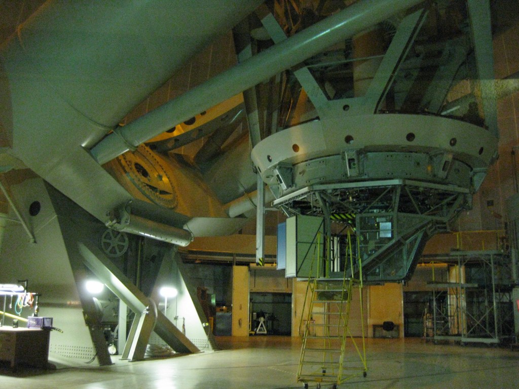
Located ten miles north of Highway 76, Palomar Mountain is best known as the home of Caltech’s Palomar Observatory, which was established in 1928.  It is open daily for tours of the A.W. Greenway Jr. Visitor Center and the 200-inch Hale Telescope, which reigned as the world’s largest from 1949 until 1975.  Two miles downhill is the Forest Service’s Observatory Campground and the trailhead for the 2.2-mile one-way Observatory National Recreation Trail.  An Adventure Pass is required to park here, but not if you start at the observatory.  The trail gains about 900 feet in elevation as it climbs through an oak-pine forest to the Palomar Observatory (that sits at 5,598 feet in elevation) providing views of the Mendenhall Valley. 

Best Trail

The Sunset Trail makes a 4.6-mile loop from the Meadows Trailhead at mile marker 19 on the Sunrise Scenic Byway.  The trail provides a view of the Pacific Ocean after passing meadows, ponds, and oak savannahs. 

Watchable Wildlife

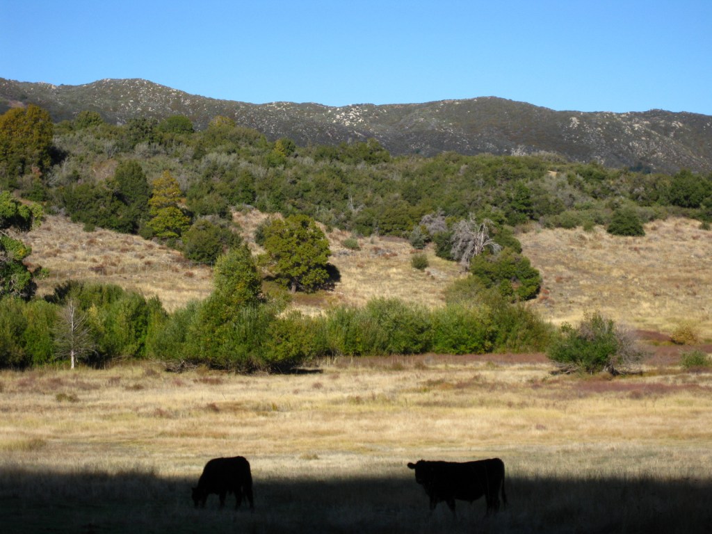
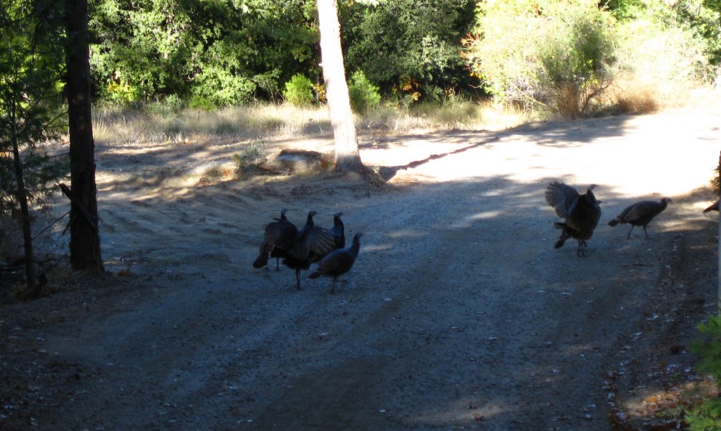
Despite its proximity to the San Diego metropolitan area, Cleveland National Forest is home to black bears, gray foxes, bobcats, and mountain lions.  Black-tailed deer, bighorn sheep, wild turkeys, and coyotes are more likely to be encountered by visitors.

Instagram-worthy Photo

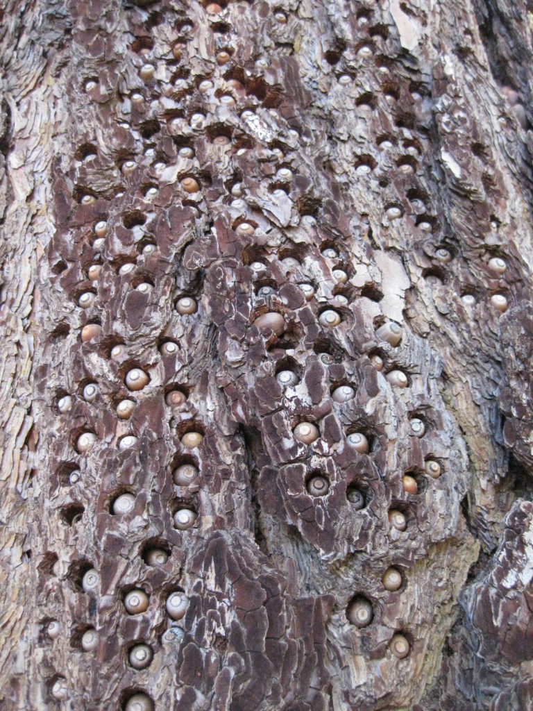
Look for acorn woodpeckers’ seed caches riddled into some of the Jeffrey pine trees in the forest.

Peak Season

Winter

Fees

An Adventure Pass is required to park at several trailheads (including the Observatory Trail) throughout the National Forest, but an America the Beautiful pass can be substituted.

Road Conditions

The Sunrise Scenic Byway and the road to Palomar Observatory are both paved, although there are many unpaved routes through the National Forest.

Camping

Two miles downhill from the Palomar Observatory is the Forest Service’s Observatory Campground, a great place to stay if you plan to attend a star party on moonless nights.  Palomar Mountain State Park also has a campground.

Wilderness Areas

Agua Tibia Wilderness (also run by the Bureau of Land Management)

Hauser Wilderness

Pine Creek Wilderness

San Mateo Canyon Wilderness

Related Sites

Channel Islands National Park (California)

Cabrillo National Monument (California)

Mojave National Preserve (California)

Nearest National Park

Joshua Tree

Conifer Tree Species

Jeffrey pine, Coulter pine, white fir, California juniper, Arizona cypress, Tecate cypress

Flowering Tree Species

Engelmann oak, coast live oak, California black oak, manzanita

Explore More – Who was the U.S. President that established the first 13-million acres of Forest Reserves starting in 1891, prior to Grover Cleveland?

Learn more about Cleveland and the 154 other National Forests in our new guidebook Out in the Woods

We are a participant in the Amazon Services LLC Associates Program, an affiliate advertising program designed to provide a means for us to earn fees by linking to Amazon.com and affiliated sites.