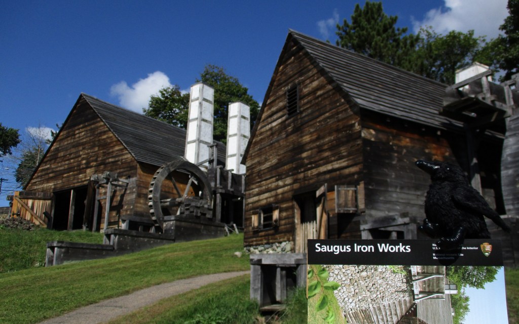
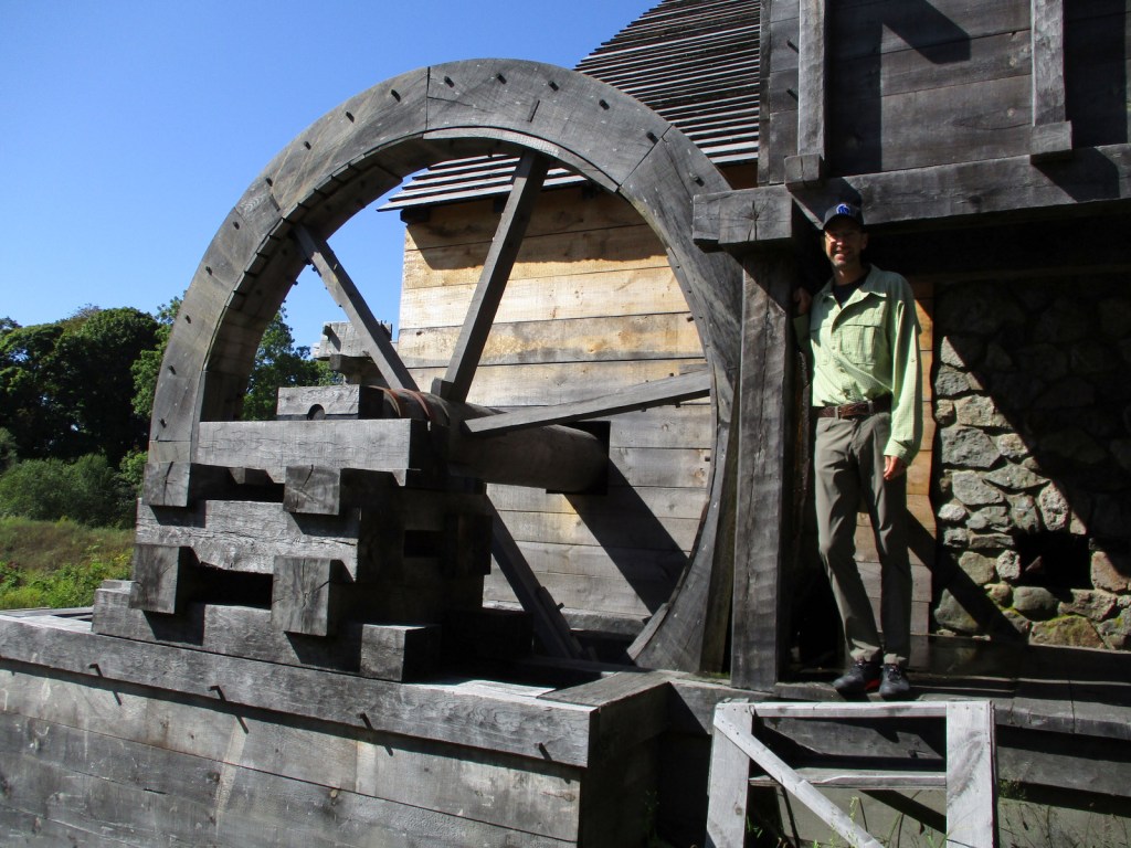
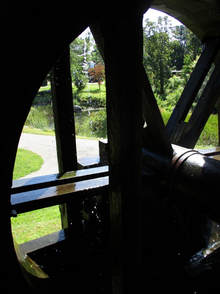
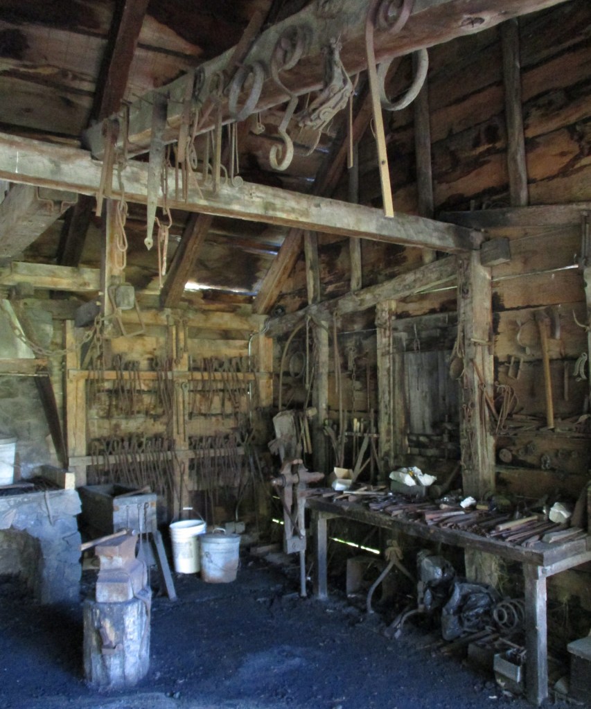
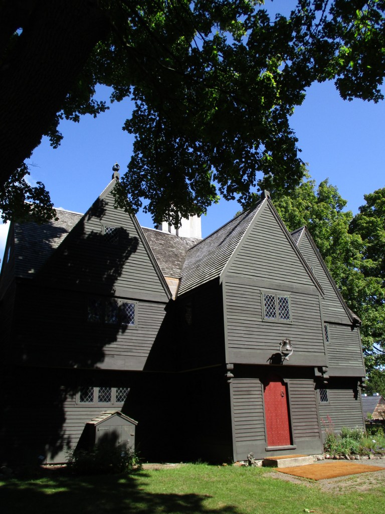
Situated in the middle of the town of Saugus, this interesting little park preserves North America’s first integrated iron works dating back to 1646. The site was chosen because of access to local bog iron, gabbro, ample trees for making charcoal, and the Saugus River for providing power and shipping. Molten iron was poured into long sow bars that were forged into wrought iron, some of which went into a rolling and slitting mill that provided material for easily producing nails. In addition to cast products like pots, other items made include hinges, hoes, shovels, kettle hooks, and tongs. In the 1660s, bankruptcy led skilled iron workers (mostly indentured servants) from here to start mills throughout New England. Saugus Iron Works National Historic Site is part of Essex Saugus National Heritage Area, along with Salem Maritime National Historic Site in northeast Massachusetts.
Highlights
Saugus River, blast furnace, forge, Iron Works House, free mushed penny machine
Must-Do Activity
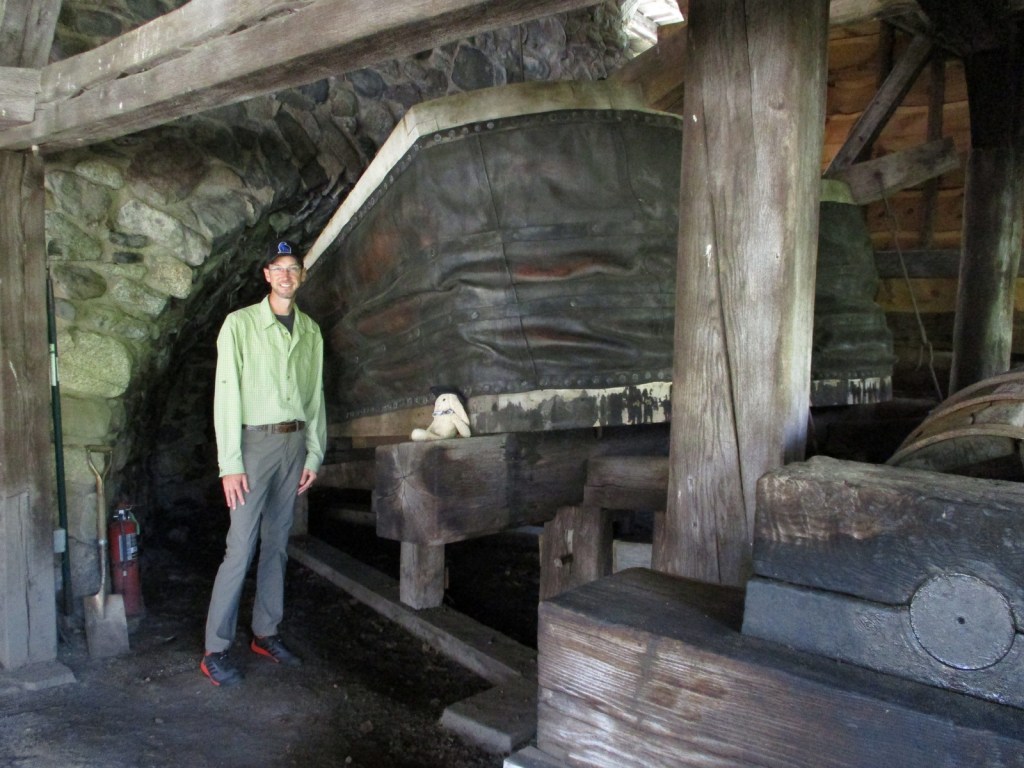
Start your visit in the National Park Service (NPS) museum located in the former chicken coop and blacksmith shop, where a 12-minute video is played. Do not forget to crush your own penny in the only free coin-smashing machine we have encountered at a NPS site. Rangers offer tours throughout the day or a self-guided tour takes you to a blast furnace, forge, rolling mill, warehouse, and dock area on the Saugus River. The Iron Works House is a 1680s mansion containing period furnishings and is the only original building left standing. Other structures were rebuilt in the 1950s by the First Iron Works Association funded by the American Iron and Steel Institute.
Best Trail
A half-mile nature trail follows along the banks of the Saugus River.
Instagram-worthy Photo
Huge bellows made of wood and leather provided a steady blast of air to maintain the high temperature required to smelt ore into molten iron.
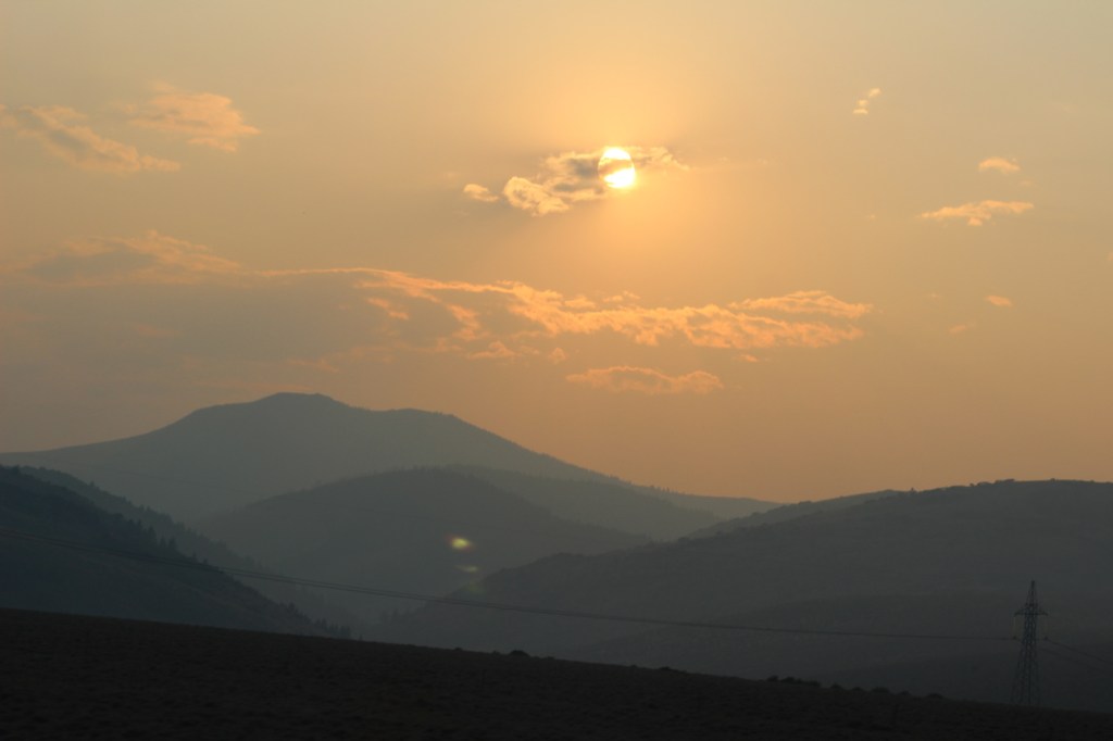
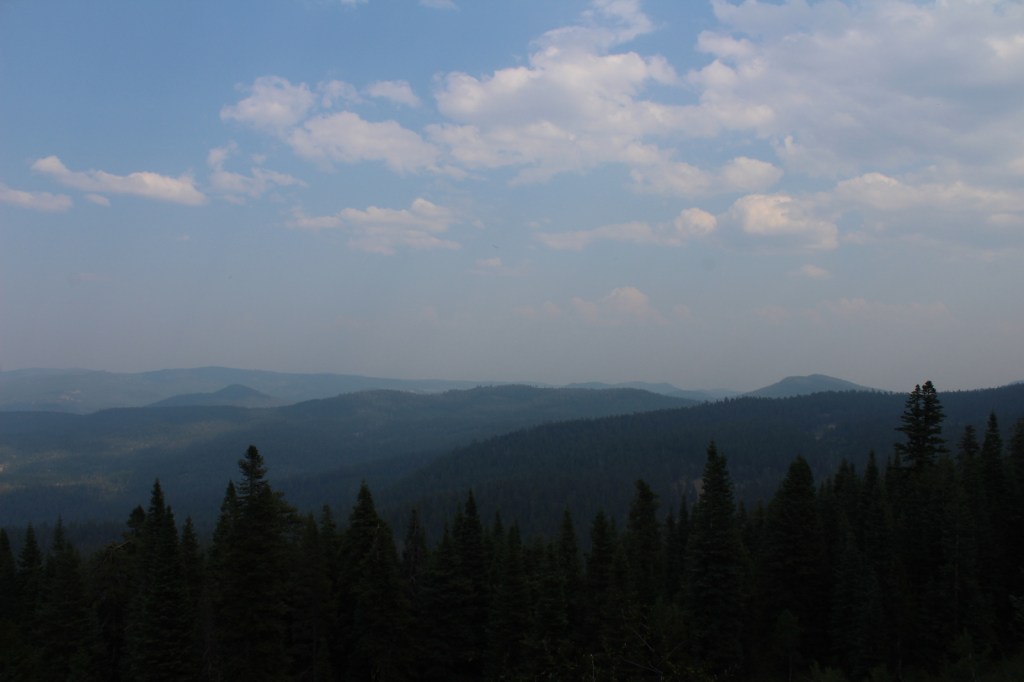
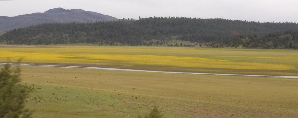
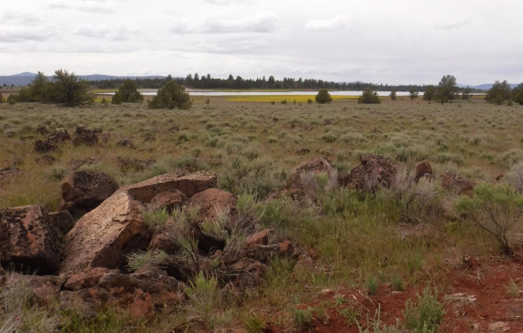
In central Oregon, the sagebrush-dominated high desert is also known as the Oregon Outback because of its rural resemblance to the arid Australian bush. Fremont National Forest encompasses the wooded mountains that rise to the west above Lake Abert and Summer Lake in the Warner Valley, an important wetland area for wildlife. In addition, a separate section located to the southeast covers the Warner Mountains and Abert Rim. The cliffs of Hadley Butte are popular with hang gliders. The Mitchell Monument honors the six American civilians who lost their lives during World War II when a Japanese balloon bomb exploded after traveling 6,000 miles.
Highlights
Oregon Outback Scenic Byway, Goodlow Mountain Natural Area, Drake Peak Lookout, North Warner Viewpoint, Abert Rim, Heart Lake, North Fork of Sprague National Wild and Scenic River, Mitchell Monument, Cottonwood Lake, Crane Mountain National Recreation Trail, Fremont National Recreation Trail, Gearhart Mountain Trail
Must-Do Activity
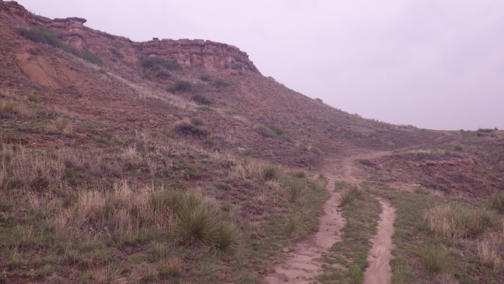
While it is not an official trail, the 4.6-mile out-and-back hike to Coleman Rim does have a good payoff with views of the Chewaucan River Valley. It is reached by driving nine miles up paved Forest Road 3360 from Highway 140, then turning right for two miles on gravel Forest Road 024 to Shepard Camp Creek. From there, you start hiking north to the head of Shepard Camp Meadow, while watching for black-tailed deer, sandhill cranes, and the numerous cattle that frequent this area. At that point, the route starts to gain elevation as it turns east through a forest of ponderosa pine, Sierra white fir, and western white pine trees. You will likely have to climb over a few downed trees as you navigate toward the rocky Coleman Rim that sits above 7,000 feet in elevation.
Best Trail
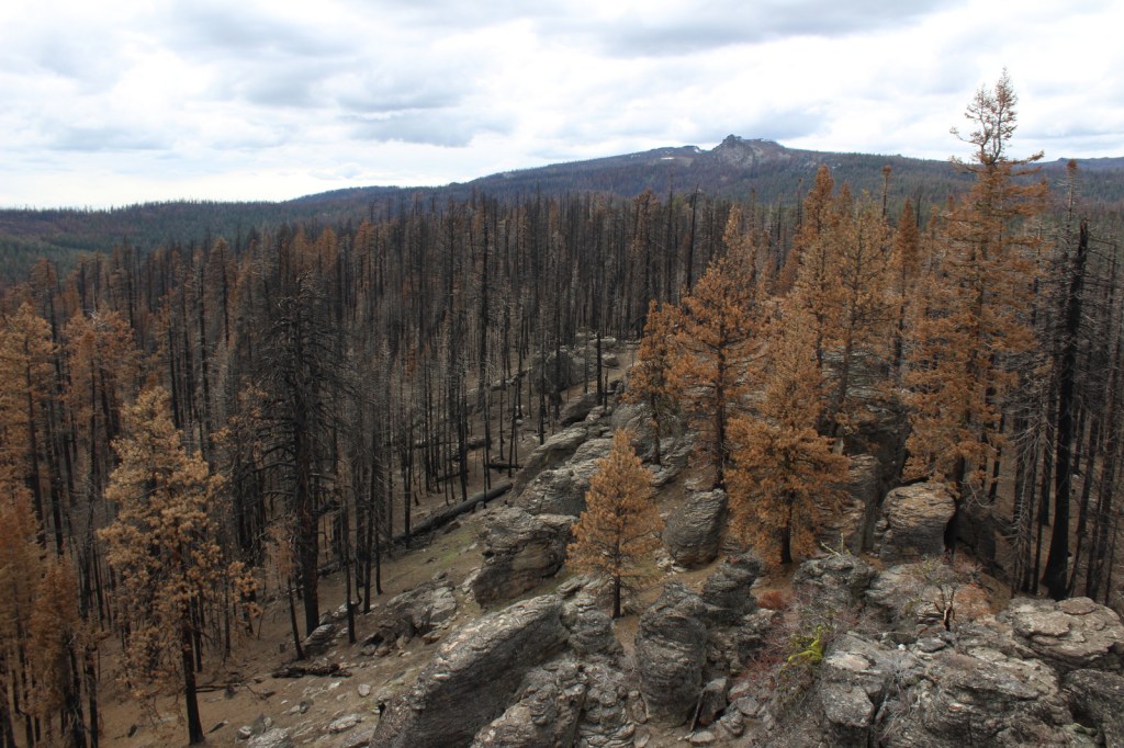
After the Bootleg Fire swept through the area between our 2020 and 2022 visits, it was amazing to see the differences around Gearhart Mountain. We drove as far up the mountain as we could to Lookout Rock Trailhead, parking at the edge of the Gearhart Mountain Wilderness, walking up the gated road to a fire lookout tower that remained unburnt on its rocky ridgetop. It was difficult to the follow the official Gearhart Mountain trail because of downed trees and the blanket of dead needles on the forest floor, but it was worth a look around to see the fire’s aftermath (please exercise caution due to the hazards of standing dead trees). The trail accesses the volcanic Palisade Rocks within one mile from the trailhead.
Watchable Wildlife
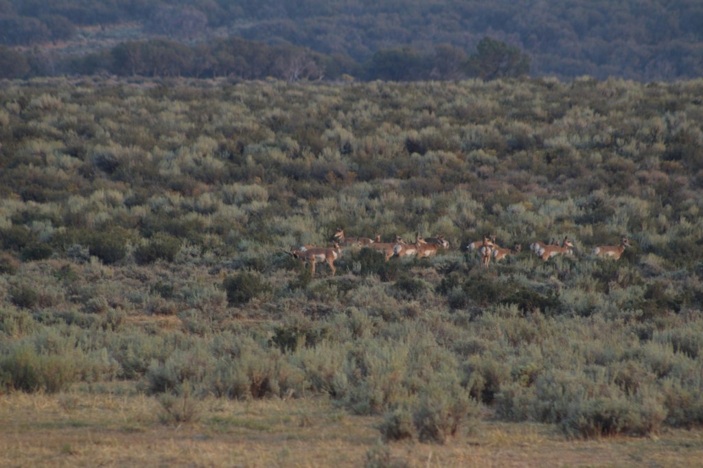
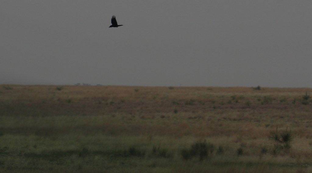
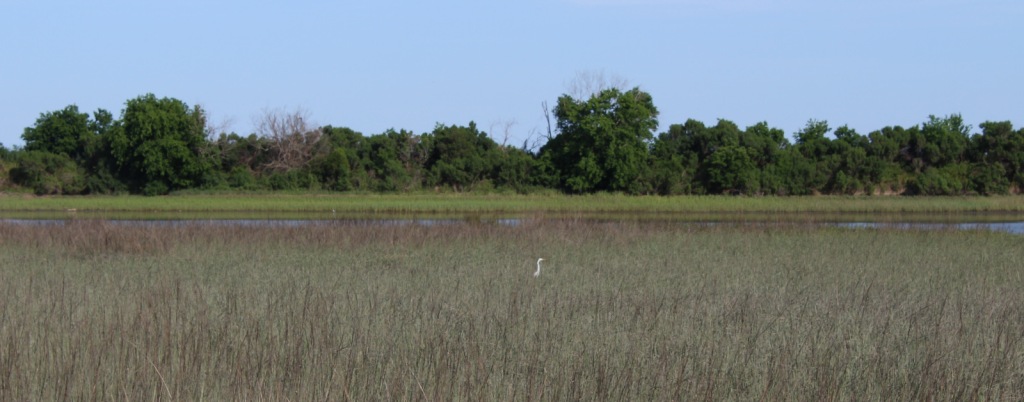
Mule deer, elk, and pronghorns are large ungulates found in Fremont National Forest, sharing habitat with carnivores like black bears, coyotes, mountain lions, and bobcats. The National Forest borders Summer Lake and several large wetlands that are important stops for migrating birds on the Pacific Flyway. Commonly seen waterfowl are Canada geese, mallards, and whistling swans, and the elusive northern spotted owl nests in old-growth forests. There are largemouth bass in the lakes, while streams support several species of trout, including the threatened bull trout.
Instagram-worthy Photo
Nearly 10,000 Fugo balloons were launched by the Japanese during World War II, but only one caused casualties, killing six American civilians when it exploded on May 5, 1945. At the Mitchell Monument, you can read their story and see a ponderosa pine tree that still contains shrapnel from the balloon bomb.
Peak Season
Summer
Fees
None
Road Conditions
Paved Highway 140 runs east-west through the heart of the National Forest, while Highway 395 splits a separate southeastern section on the California border. We found unpaved Forest Road 34 to be full of potholes, but it got better the further east we went towards the Mitchell Monument and Gearhart Mountain. Even after the 2021 fire, we found Forest Road 3660 to the Coleman Rim to be a good gravel road, while Forest Road 024 was a bit overgrown.
Camping
This is a good National Forest for dispersed camping, but we also passed Corral Creek Campground on our way up to Gearhart Mountain and Cottonwood Recreation Area offers a campground on a lake. Rentals are available in the summer for the Drake Peak Lookout, Currier Guard Station, and Bald Butte Lookout.
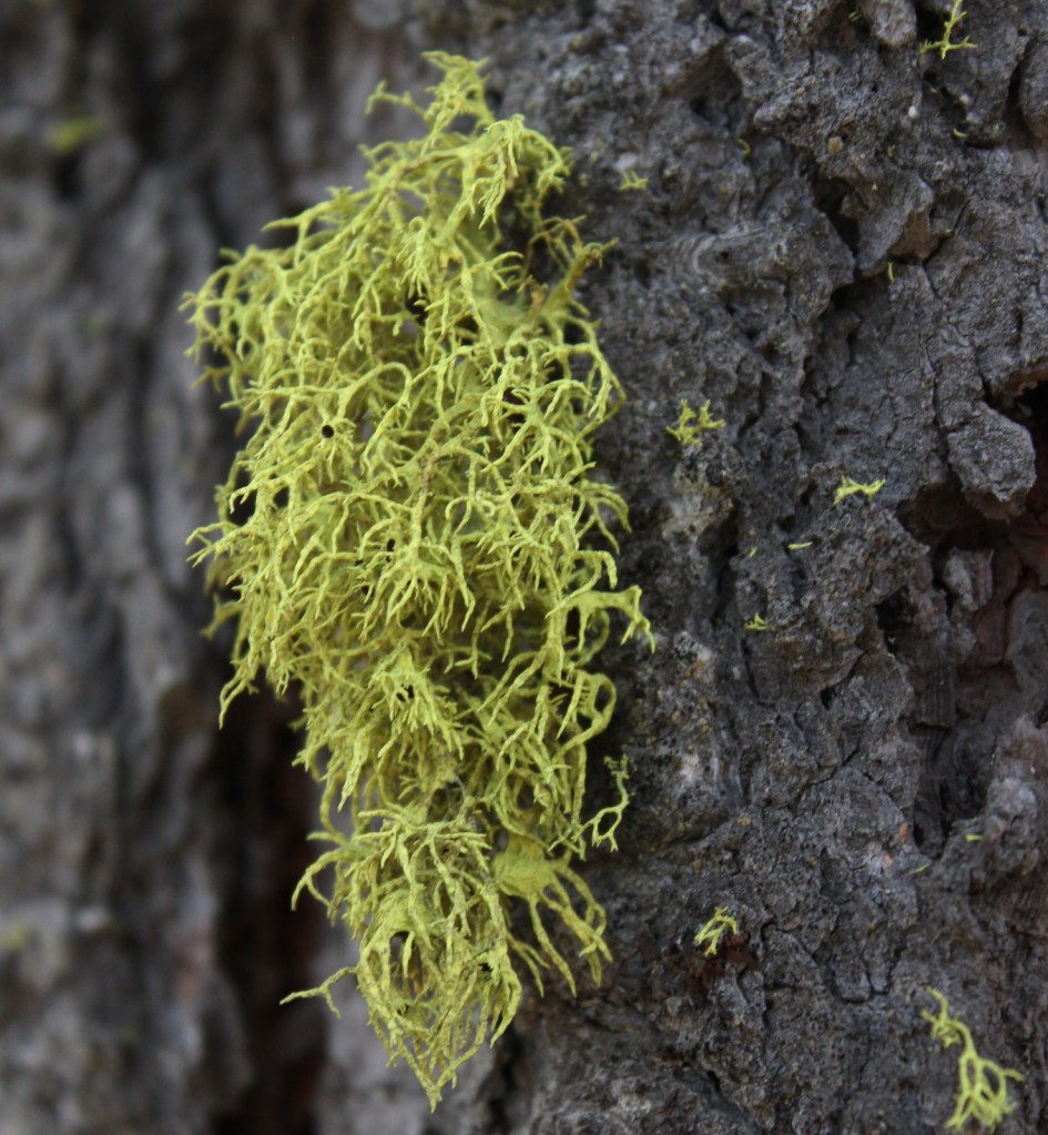
View from Coleman RimHiking to Coleman RimMule deerLichenHiking to Coleman RimView from Highway 140PronghornsMitchell MonumentLookout Rock TrailheadDamage from the 2021 Bootleg FireFire tower survived the 2021 Bootleg FireBurnt spruce conesPonderosa pines
Explore More – The National Forest is named after John C. Fremont who explored this area for the U.S. Army Corps of Engineers and went on to take control of the California Republic (for which he was convicted of mutiny and later pardoned), serve as a U.S. Senator, run twice for President, and then resign while Governor of what U.S. territory?
Learn more about this and the 154 other National Forests in our new guidebook Out in the Woods
We are a participant in the Amazon Services LLC Associates Program, an affiliate advertising program designed to provide a means for us to earn fees by linking to Amazon.com and affiliated sites.
Following the devastating “Dust Bowl,” several Congressional Acts in the 1930s allowed the federal government to purchase and restore damaged agricultural lands in the Great Plains. Most of the 20 National Grasslands have their origin in these times, which is why they are often a patchwork of federal and private ownership. Cimarron National Grassland is no exception, although its fairly contiguous swath of government land in the southwest corner of Kansas represents the largest parcel of public land in the entire state. Today recreation is one of the multiple uses of this landscape, that also includes cattle grazing and oil/gas drilling. There are 200 stock ponds here (a few stocked with gamefish), plus the Cimarron River, which even when appearing dry often flows a foot below the surface. Cimarron is a Spanish word for a feral horse, like an American mustang.
Highlights
Point of Rocks, Cimarron Overlook, Middle Spring, Cottonwood Picnic Area, Cimarron Recreation Area, Turkey Trail, Companion Trail, Santa Fe National Historic Trail
Must-Do Activity
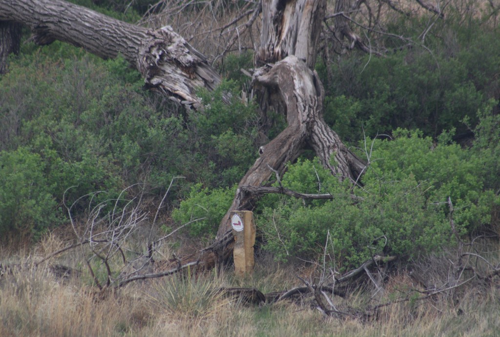
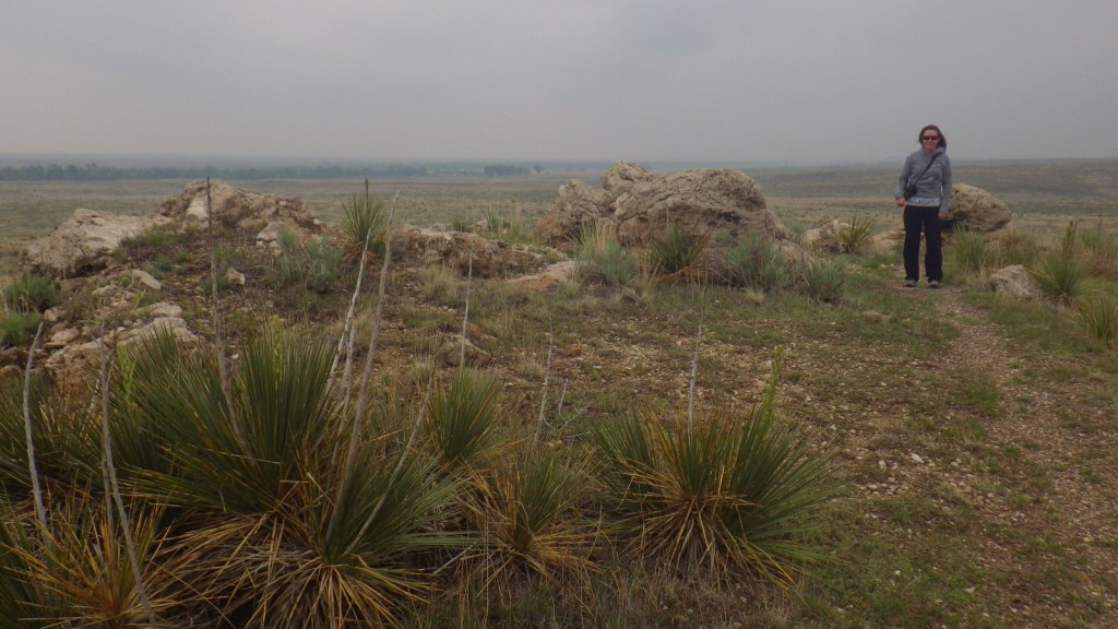
Point of Rocks is the third-highest point in Kansas and was a major landmark on the Cimarron Route of the Santa Fe National Historic Trail that later became a permanent settlement. There are no buildings left here, but the parking lot offers interpretive signs and a great view across the Cimarron River. A steep trail from the top accesses the Companion Trail that parallels the Santa Fe National Historic Trail for 19 miles through the National Grassland. A mile back towards Highway 27, Middle Spring is on the National Register of Historic Places as one of only three reliable water sources along the Cimarron Route.
Best Trail
The Turkey Trail is open to OHVs and connects 10.5 miles from Cottonwood Picnic Area to Cimarron Recreation Area, where the Cimarron River Trail continues east for another ten miles or so.
Watchable Wildlife
Cimarron National Grassland is one of the best places in Kansas for birdwatching with more than 360 species identified. There are two lesser prairie-chicken leks with permanent blinds set up for watching spring mating rituals. During our short visit we spotted ravens, turkey vultures, shrikes, redwing blackbirds, mourning doves, meadowlarks, red-headed woodpeckers, barn swallows, kingbirds, Bullock’s orioles, canvasbacks, and some variety of hawk. Based on the signs there are also mountain plovers and burrowing owls, which inhabit the burrows of prairie dogs and can imitate the sound of a prairie rattlesnake. When we arrived at the smoke-obscured overlook for Point of Rocks we startled a group of four mule deer, and we also read that elk were reintroduced here at one point.
Instagram-worthy Photo
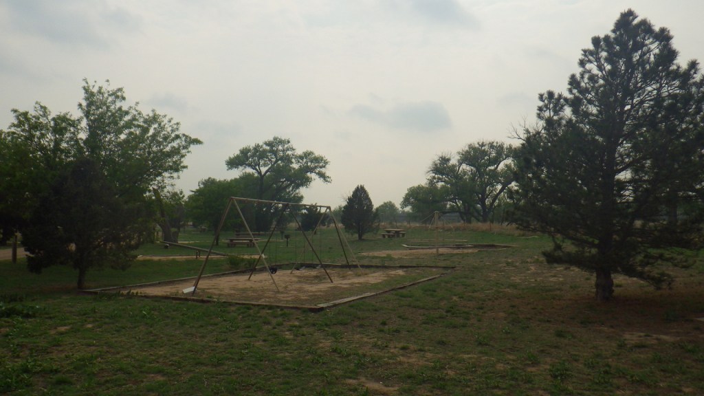
Cottonwood Picnic Area is fenced off from river access, but it has picnic tables and a playground with old-school equipment like teeter-totters. There is also a fun table with metal seats from old tractors and two old tractors unearthed in 2003 after being buried to stabilize the river bank following floods in the 1930s.
Peak Season
Spring
Fees
None
Road Conditions
Paved Highway 27 cuts north-south through the National Grassland bisecting the unpaved Sea of Grass Auto Tour, which we found to be in good shape at least for the three miles to Point of Rocks.
Camping
Cimarron Recreation Area offers 14 campsites, fishing ponds, and a corral for horses, plus dispersed camping is allowed in most of the National Grassland.
Companion Trail at Point of RocksMule deerFossils in the sandstonePoint of RocksPoint of RocksPoint of RocksScott at Point of RocksSanta Fe National Historic Trail markerTiff at Cimarron OverlookMiddle SpringTiff at Middle SpringCimarron River floodplainCottonwood Picnic AreaCottonwood Picnic AreaRed-headed woodpecker on a cottonwood snagRaven about the grassland
Explore More – Passed in 1937, what Congressional Act requires 25% of revenue generated by the National Grasslands to be returned to the county for schools and roads?
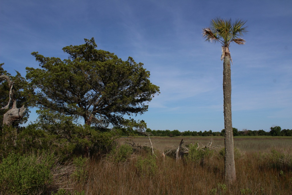
Located on South Carolina’s coast between Myrtle Beach and Charleston, Francis Marion National Forest was devastated by the 130-mile-per-hour winds of Hurricane Hugo in 1989. Young and damaged trees have grown back in the subtropical coniferous and maritime forests, although some attractions like the Sewee Shell Ring Boardwalk have never been rebuilt. Other historic sites in the National Forest include the 1768 St. James Church, Battery Warren from the Civil War, and Watahan Historical Area, which has colonial plantations and the site of a 1782 Revolutionary War battle. On the Santee River, Guilliard Lake Scenic Area has three trails that visit an old-growth baldcypress forest, but the National Forest’s four Wildernesses are mostly inaccessible wetlands.
Highlights
Sewee Visitor and Environmental Education Center, Buck Hall Recreation Area, Battery Warren Historic Site, Huger Recreation Area, Honey Hill Recreation Area, I’on Swamp Interpretive Trail, Shell Ring Trail, Palmetto Trail
Must-Do Activity
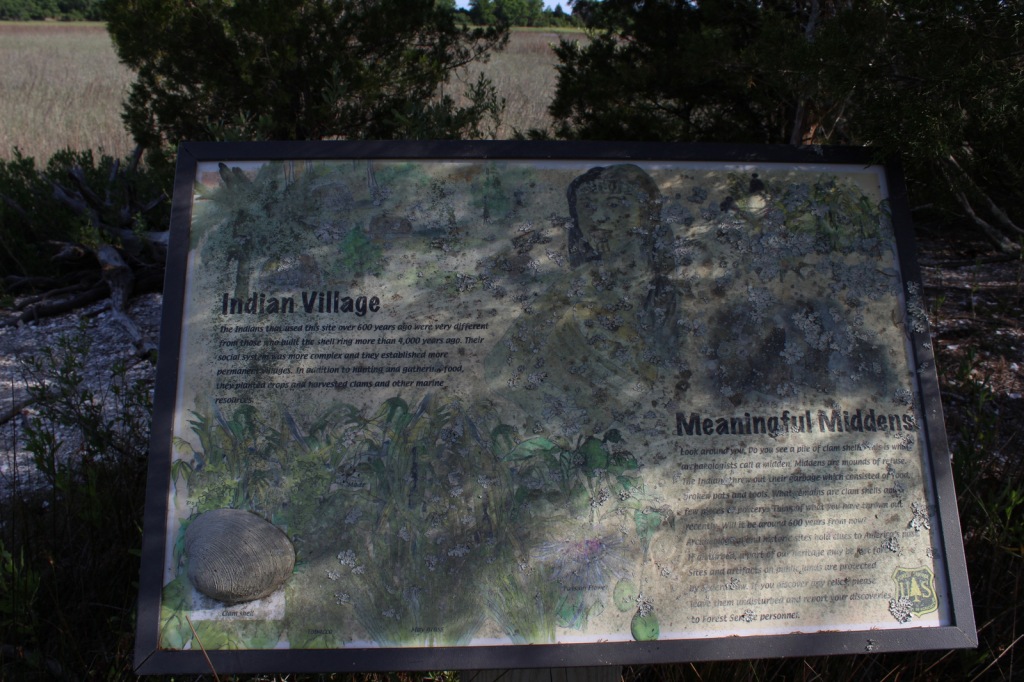
Sewee Visitor and Environmental Education Center is a good place to start a visit, and includes an exhibit on reintroducing red wolves. Not far away, Sewee Shell Ring Boardwalk was never rebuilt after Hurricane Hugo in 1989, but the trail to the boardwalk remains open (despite what you might read online). A one-mile loop trail takes visitors to a 4,000-year-old ceremonial ring made of oyster shells and a 600-year-old shell midden, but no longer out into the salt marsh. Another historic walk is the I’on Swamp Interpretive Trail where signs explain the embankments and ditches built by slaves to create rice paddies.
Best Trail
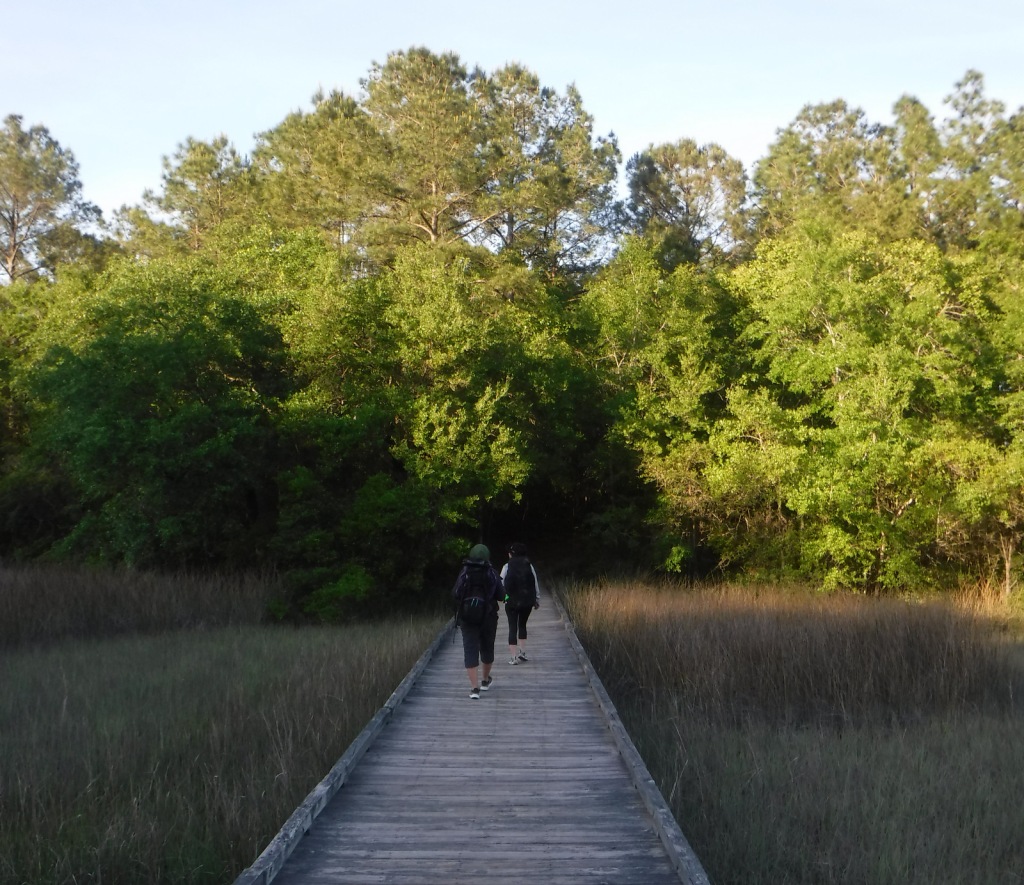
A free permit is required to backpack the Palmetto Trail on its 47-mile stretch through Francis Marion National Forest. The easternmost seven miles of this statewide trail was opened in 2003 running from the Swamp Fox Trailhead to Buck Hall Recreation Area (fee) on the Intracoastal Waterway bordering Cape Romain National Wildlife Refuge. Both trailheads are easily accessible from Highway 17. This sandy section of the Palmetto Trail is known as the Awendaw Passage because it follows Awendaw Creek for most of its length. There are bridges and boardwalks built over the wettest areas, but very few good places to set up a campsite due to the density of the forest understory.
Watchable Wildlife
We saw a variety of wildlife in Francis Marion National Forest, including coastal species you do not find in any other National Forest, like crabs and mussels. The salt marshes provide habitat for large birds like Mississippi kites, ospreys, little blue herons, and great egrets. We spotted red-headed woodpeckers and pileated woodpeckers, and there are also endangered red-cockaded woodpeckers. While backpack camping, we saw fireflies, bats, fox squirrels, and a seldom-seen whippoorwill, a bird known for its distinctive, repetitive calls at night. In Awendaw Creek, we saw a muskrat and four-foot-long rat snake, but did not find any alligators or river otters.
Instagram-worthy Photo
Battery Warren was built by slaves during the Civil War so soldiers could defend the railroad bridge across the Santee River. The earth embankments are still visible at the end of a short trail maintained by the U.S. Forest Service.
Peak Season
Spring
Fees
There is a fee to park and launch a boat at Buck Hall Recreation Area. A free permit (available online) is required to backpack camp on the Palmetto Trail in Francis Marion National Forest.
Road Conditions
The main roads cutting through the National Forest are paved, and even the unpaved roads we drove were flat, packed sand.
Camping
Buck Hall Campground is located at a boat launch on the Intracoastal Waterway, while scenic Edmund Campground has Spanish moss-draped trees near the northern end of Wambaw Creek Wilderness. Huger Campground and Halfway Campground are located along the Palmetto Trail. Extensive wetlands and thick woodlands make dispersed camping and backpacking difficult in Francis Marion National Forest.
Wilderness Areas
Hell Hole Bay Wilderness
Little Wambaw Swamp Wilderness
Wambaw Creek Wilderness
Wambaw Swamp Wilderness
Related Sites
Fort Sumter and Fort Moultrie National Historical Park (South Carolina)
Palmetto TrailScott on the Shell Ring TrailShell middenRemains of boardwalk on the Shell Ring TrailGreat egretPalmetto leafWhippoorwillKitin’ about the forest
tulip-poplar, sweetgum, American holly, yaupon holly, live oak, overcup oak, water oak, cherrybark oak, willow oak, southern red oak, white oak, American beech, green ash, red bay, red buckeye, swamp cottonwood, water tupelo, water locust, water hickory, bitternut hickory, sweet bay magnolia, Carolina willow, titi, southern bayberry
Explore More – What was Francis Marion’s nickname earned by employing guerilla tactics against the British during the American Revolutionary War?
Learn more about this and the 154 other National Forests in our new guidebook Out in the Woods
We are a participant in the Amazon Services LLC Associates Program, an affiliate advertising program designed to provide a means for us to earn fees by linking to Amazon.com and affiliated sites.
Now that the snow is melting on the trails to the highest peaks in America, we thought it would be a good time to release our ranking of the Top 10 Summit Trails in National Forests. None of the trails we selected require ropes, crampons, or ice axes to reach the top, but there are plenty of mountains in National Forests that do (like Wyoming’s Gannett Peak, Oregon’s Mt. Hood, and California’s Mt. Shasta). It is best to start all of these hikes early in the morning (or even before sunrise) to avoid afternoon thunderstorms. Click here to see all of our Top 10 Lists, including our Top 10 Backpacking and Day Hiking Trails in National Forests.
Rising in the center of the Black Elk Wilderness is 7,242-foot tall Black Elk Peak (formerly Harney Peak), the highest point in the U.S. east of the Rocky Mountains (with a distant view of Mt. Rushmore)
9. Mt. Elbert
San Isabel National Forest (Colorado)
Unlike some of the scrambles up Colorado’s 14ers, summiting the tallest of all is entirely on a good trail with switchbacks that steadily climb over 4,000 feet
The shortest route to the highest point in Virginia is 4.5-miles one-way from Grayson Highlands State Park, gaining 1,350 feet in elevation (plus, watch for wild ponies)
Utah’s highest point (13,528 feet) is in Ashley National Forest, but is most easily accessed from Wasatch National Forest (still 30 miles roundtrip) in the beautiful High Uintas Wilderness
5. Medicine Bow Peak
Medicine Bow National Forest (Wyoming)
Snowy Range Scenic Byway provides paved access in the summer to the high-elevation Medicine Bow Mountains, where this scenic and relatively easy trail begins
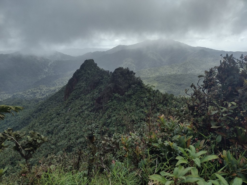
The views atop this tropical 3,496-foot peak are often shrouded by rainclouds, as is the nearby prominent peak at the end of El Toro National Recreation Trail
We have summited Arizona’s highest point starting from Snowbowl Ski Area (easiest), Lockett Meadow (prettiest), and Weatherford Trailhead (hardest)
2. Mt. Sneffels
Uncompahgre National Forest (Colorado)
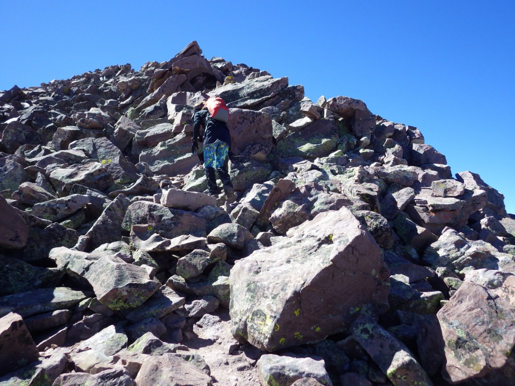
The most direct hike up the 14,150-foot summit requires scrambling up loose rock, so we opted for the less-frequented Southwest Ridge Route that climbs from Blue Lakes Pass
…and finally our #1 summit trail in a National Forest:
Although Mt. Whitney is technically inside Sequoia National Park, the main access trail is through the National Forest and typically involves two nights backpacking (permit required)
There is not much shade along this eight-mile out-and-back route that ends in a mountaintop boulder field with stunning panoramic views and the remnants of a fire lookout tower
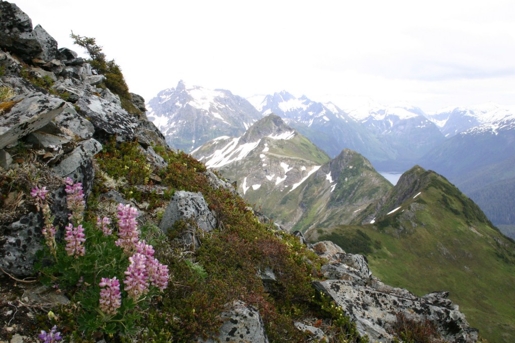
Mt. Verstovia
Tongass National Forest
It is a strenuous climb from sea level to the top of 3,349-foot Mt. Verstovia, but anywhere above timberline has unsurpassed views of Baranof Island and Sitka’s harbor
We have included our favorite hiking trail for each of the 155 National Forests in our travel guidebook Out in the Woods
Start your U.S. National Forests, National Parks, and National Monuments adventure here!