We are currently finishing up our newest travel guidebook 50 States of Great (for sale now on Amazon), which focuses on our favorite State Park, National Forest, Roadside Attraction, and nine other categories for every state in America. Choosing one State Park for some states was easy, but others have so many great options it was a difficult decision. We wanted to honor those states in this list, and we also included our favorite parks in each state (with the best named first). Some of the listings are State Historic Sites that may be managed by a different government agency than State Parks or State Forests. Click here to see all of our Top 10 Lists, including our Top 10 States for National Forests and Top 10 States for National Park Service sites.
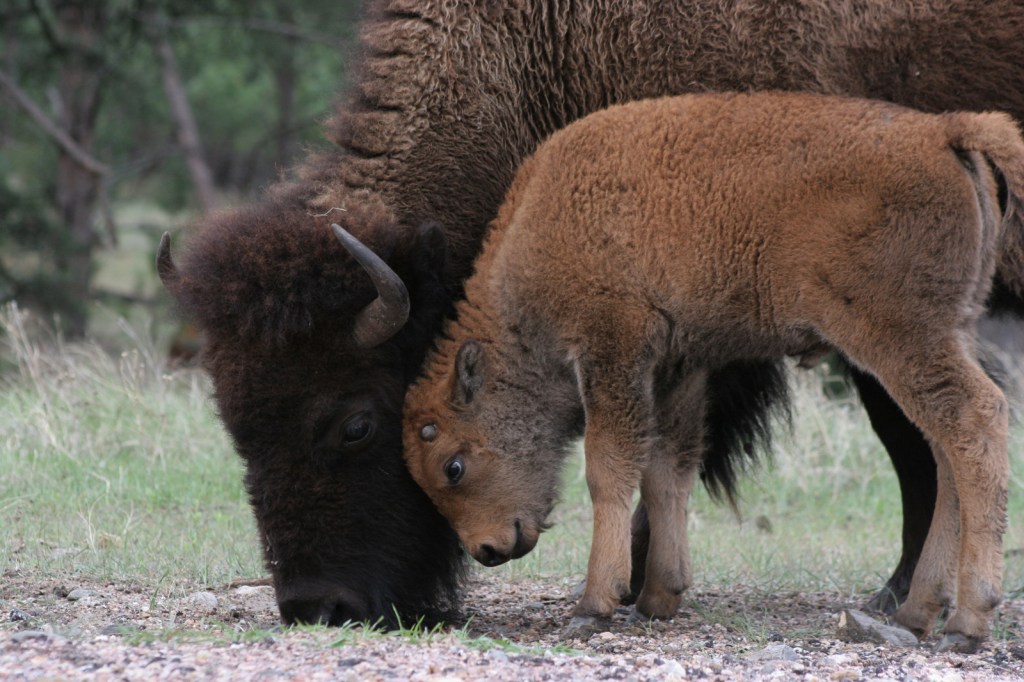
10. South Dakota (view our 7-Day Road Trip Itinerary)
Custer (pictured), Bear Butte, Palisades, Newton Hills, Fort Sisseton
Custer State Park might be the only one on this list worthy of being a National Park for its iconic wildlife and historic architecture
9. Indiana (view our 7-Day Road Trip Itinerary)
Indiana Dunes, Spring Mill, Falls of the Ohio, Angel Mounds, Clifty Falls, O’Bannon Woods, Brown County
The best part of Indiana Dunes National Park might be Indiana Dunes State Park, plus you can buy some freshly ground cornmeal at Spring Mill
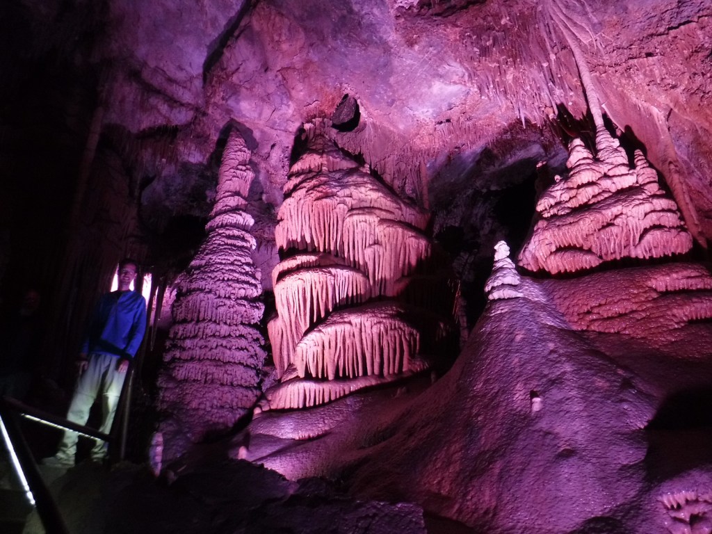
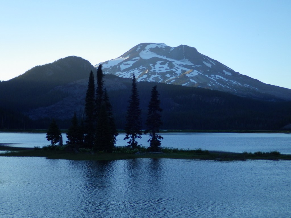
8. Montana
Lewis and Clark Caverns (pictured), Makoshika, Bannack, Pictograph Cave, Flathead Lake
A limestone show cave, badlands full of dinosaur fossils, and the ghost town that started the 1862 gold rush
7. Missouri
Elephant Rocks, Johnson’s Shut-Ins, Taum Sauk, Ha Ha Tonka, Route 66, Prairie, Montauk, Meramec
A fun mix of pretty hiking trails and interesting history can be found in Missouri
6. Nevada
Valley of Fire, Cathedral Gorge, Berlin-Ichthyosaur, Lake Tahoe Nevada
Geology is the highlight in these beautiful State Parks
5. North Carolina
Hammocks Beach, Chimney Rock, Jockey’s Ridge, Fort Macon, Stone Mountain, Fischer Point, Raven Rock, South Mountains, Hanging Rock, Pilot Mountain, Brunswick Town, Morrow Mountain, William B. Umstead
Entry is free to nearly every State Park here and we have visited 30+ in our former home state

4. Hawai‘i (view our 14-Day Trip Itinerary)
Waimea Canyon, Napali Coast (pictured), Kealakekua Bay, ‘Iao Valley, Diamond Head, Lava Trees, Akaka Falls, Koke‘e, Isaac Hale, Iolani Palace, Ahupuaa O Kahana
Incredible scenery is almost a given on the islands of this tropical paradise

3. Arkansas
Crater of Diamonds (pictured), Pinnacle Mountain, Petit Jean, Mt. Magazine, Mississippi River, Devil’s Den, Village Creek, Lake Chicot
The only publicly-owned diamond mine in the world is a major attraction in Arkansas
2. Utah
Goblin Valley, Coral Pink Sand Dunes, Kodachrome Basin, Antelope Island, Goosenecks, Dead Horse Point
Geology is the highlight in these beautiful State Parks
…and finally our #1 state for State Parks:
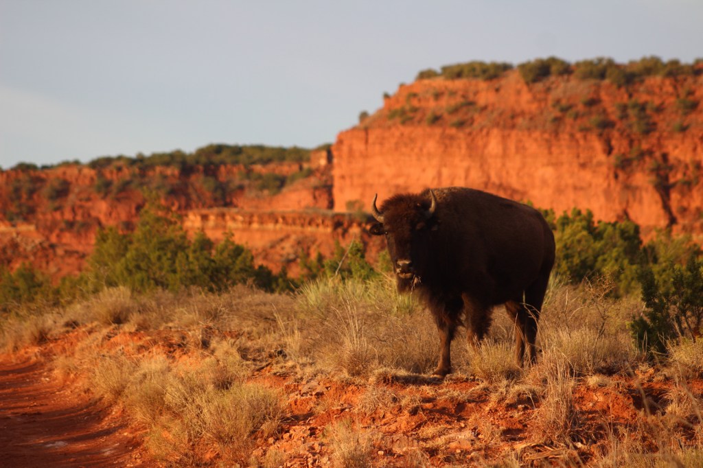
1. Texas
Caprock Canyons (pictured), Palo Duro Canyon, Resaca de la Palma, Big Bend Ranch, Monahans Sandhills, Davis Mountains, Enchanted Rock, Devil’s Sinkhole, Kickapoo Cavern, Old Tunnel, Brazos Bend, Caddo Mounds, Mission Tejas, San Jacinto Battleground, Pedernales Falls
A large, diverse state offers a wide variety of park experiences from evening bat flights to backcountry camping
.
Honorable Mentions
Virginia
False Cape, Grayson Highlands, Fairy Stone, First Landing, Douthat, Westmoreland
Backpacking on the beach in and the mountains, plus collecting fairy stones are highlights of our time in these (somewhat expensive) parks

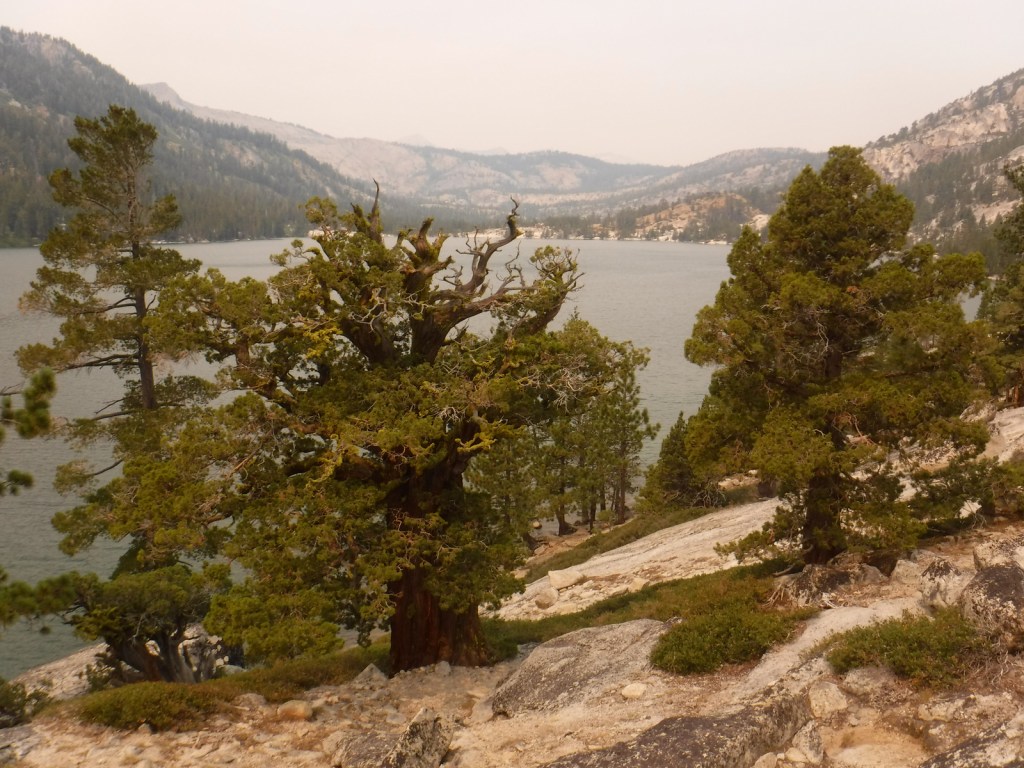
California
Calaveras Big Trees (pictured), Pfeiffer Big Sur, Anza-Borrego Desert, Humboldt Redwoods, Moss Landing, Emerald Bay, Montaña de Oro, Mt. Tamalpais, Oceano Dunes, Fort Ross, Natural Bridges, Mt. Diablo
There have to be more State Parks here than anywhere else, some of which are amazing while others are not so great

Alabama
Cathedral Caverns, Rickwood Caverns, DeSoto, Cheaha, Fort Toulouse-Fort Jackson (pictured), Gulf, Joe Wheeler
Cave tours, waterfalls, and mountain views can all be found in diverse Alabama
Oregon
Silver Falls, Beverly Beach, Smith Rock, Farewell Bend, Fort Stevens, Jessie M. Honeyman, Sunset Bay, Seal Rock, Wallowa Lake, La Pine
From the ocean to the mountains and all in between

Georgia (view our 7-Day Road Trip Itinerary)
Providence Canyon (pictured), Stephen C. Foster, Tallulah Gorge, Cloudland Canyon, Fort Mountain
Forested slopes, steep cliffs, waterfalls, and the lowlands of the Okefenokee Swamp
Michigan
Mackinac Island, Porcupine Mountains, Hartwick Pines, Fort Wilkins, P.J. Hoffmaster, Straits
Mackinac Island State Park was once a National Park and the Porcupine Mountains offer an incredible wilderness for backpacking on Lake Superior
South Carolina
Huntington Beach, Edisto Beach, Colonial Dorchester, Myrtle Beach, Hunting Island, Table Rock, Hampton Plantation, Devil’s Fork, Mountain Bridge
Some of the best ocean side campgrounds in the United States