Overview
Ironically, the New River is one of the oldest rivers in the world at 65-million years. In the 50 miles from Bluestone Dam to Gauley Bridge it falls 750 feet in elevation, meaning it is full of Class I to V rapids that attract whitewater rafters from around the world. On December 27, 2020, the park was changed from a National River to New River Gorge National Park and Preserve.

Highlights
Bridge, scenic views, hiking, whitewater rafting, rock climbing, free campgrounds
Must-Do Activity
Canyon Rim Visitor Center offers information and great views of the New River Gorge Bridge. From there you can drive down the twisty road to the river. Most visitors come here for whitewater rafting, so you should consider hiring a guide to take you out.
Best Trail
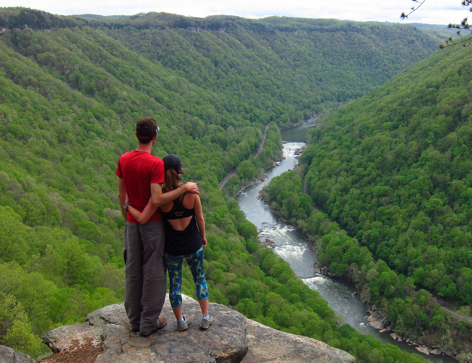
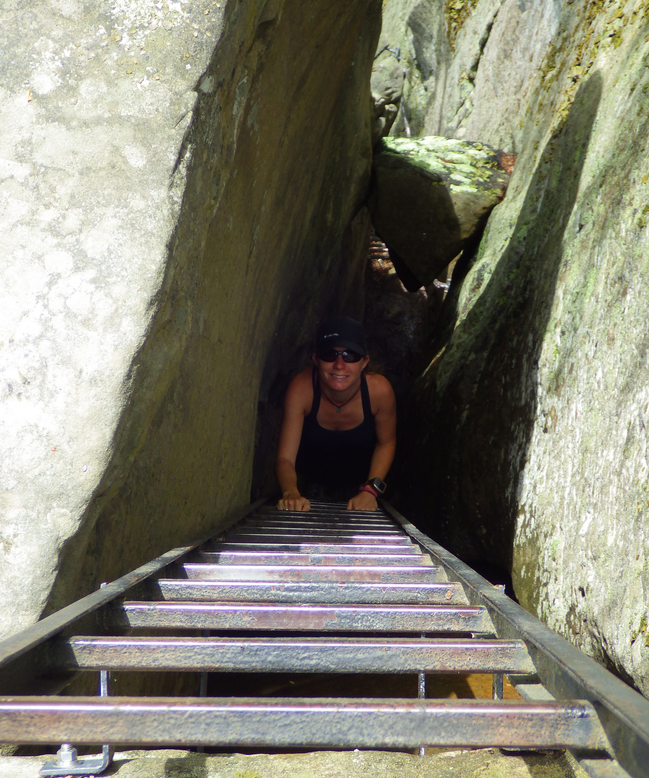
The Endless Wall Trail makes a 3-mile loop trail that provides great views of the New River Gorge and the bridge, as well as access to some of the park’s 1,600 rock climbing routes.
Instagram-worthy Photo
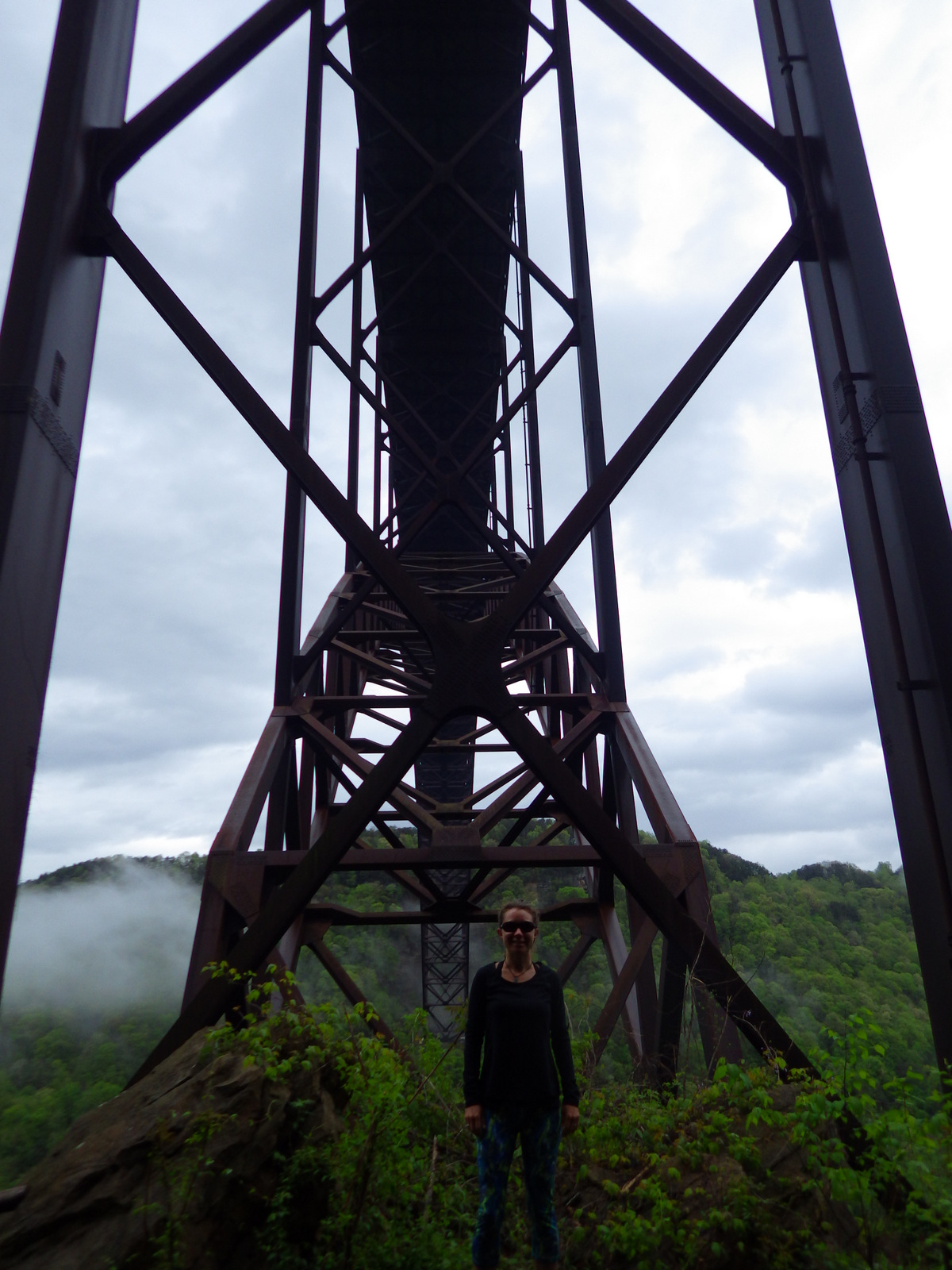
Completed in 1977, the New River Gorge Bridge is the second longest single-steel span in the world. Highway 82 passes underneath where it rises 876 feet above the river.
Peak Season
Summer (fall for whitewater rafting)
Hours
https://www.nps.gov/neri/planyourvisit/hours.htm
Fees
None, and even many of the NPS campgrounds are free.
Road Conditions
The dirt roads we drove were steep and windy but passable by passenger vehicles, probably not by RVs.
Camping
Gravel roads access 5 free primitive campgrounds and historic ruins like Thurmond Historic District.
Related Sites
Cuyahoga Valley National Park (Ohio)
Bluestone National Scenic River (West Virginia)
Harpers Ferry National Historical Park (West Virginia-Maryland-Virginia)


Explore More – Annually, what day is the bridge closed to allow BASE jumpers and rappelers to play on it?


We are a participant in the Amazon Services LLC Associates Program, an affiliate advertising program designed to provide a means for us to earn fees by linking to Amazon.com and affiliated sites.