Overview
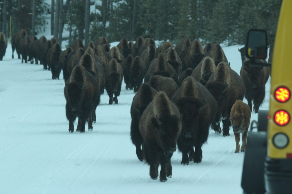
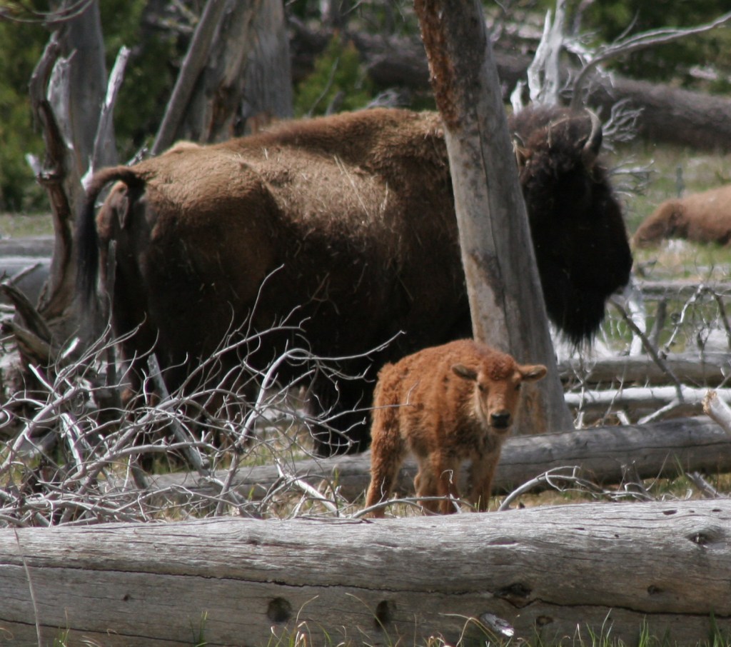
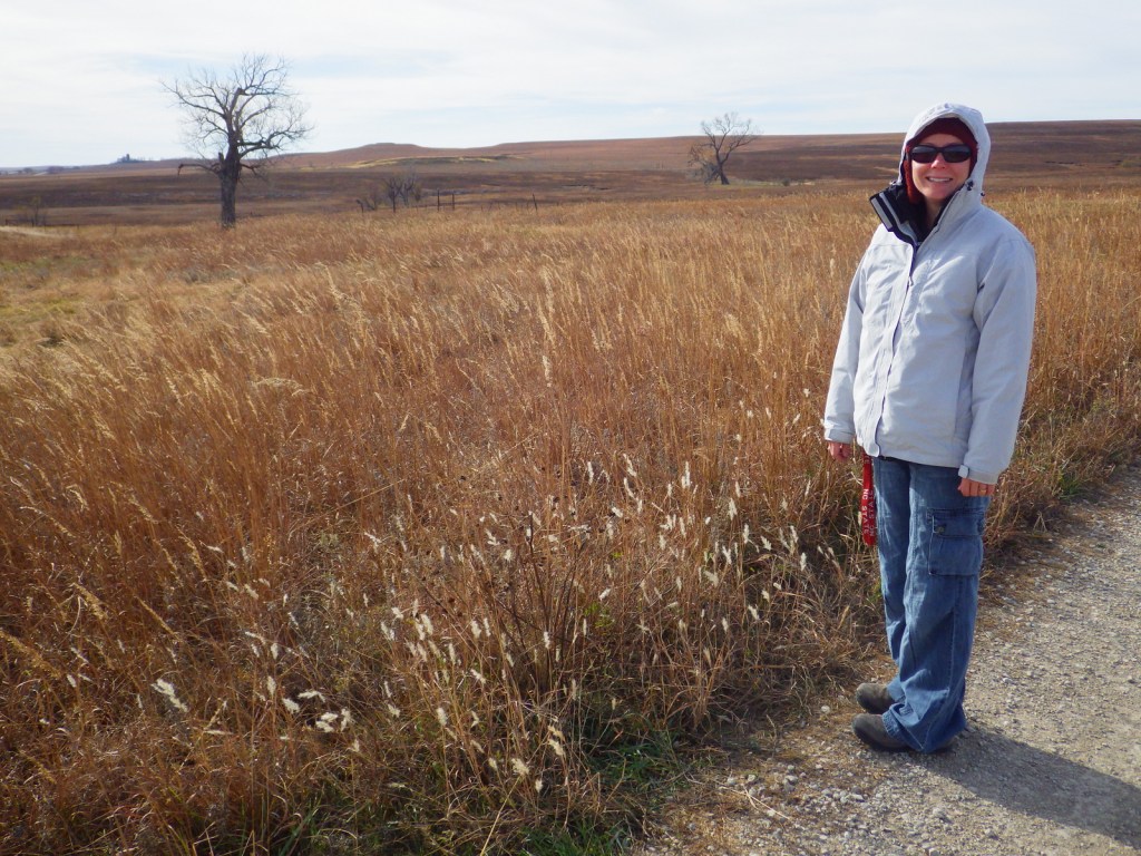
The tallgrass prairie formerly covered 170-million acres of North America, but today only 4% of that exists in a few isolated pockets due to conversion to agriculture. The Flint Hills of eastern Kansas were too rocky for tilling, so this was an ideal place to create Tallgrass Prairie National Preserve in 1996. Occasionally, land managers utilize fire to support fire-adapted native grasses against invasive species. Before our visit in November 2014, large areas were burned. The bison that live here enjoy eating the fresh green grass that sprouts following a fire and wildflowers thrive with the release of available soil nutrients.
Highlights
Spring Hill Ranch, Lower Fox Creek School, bison herd
Must-Do Activity
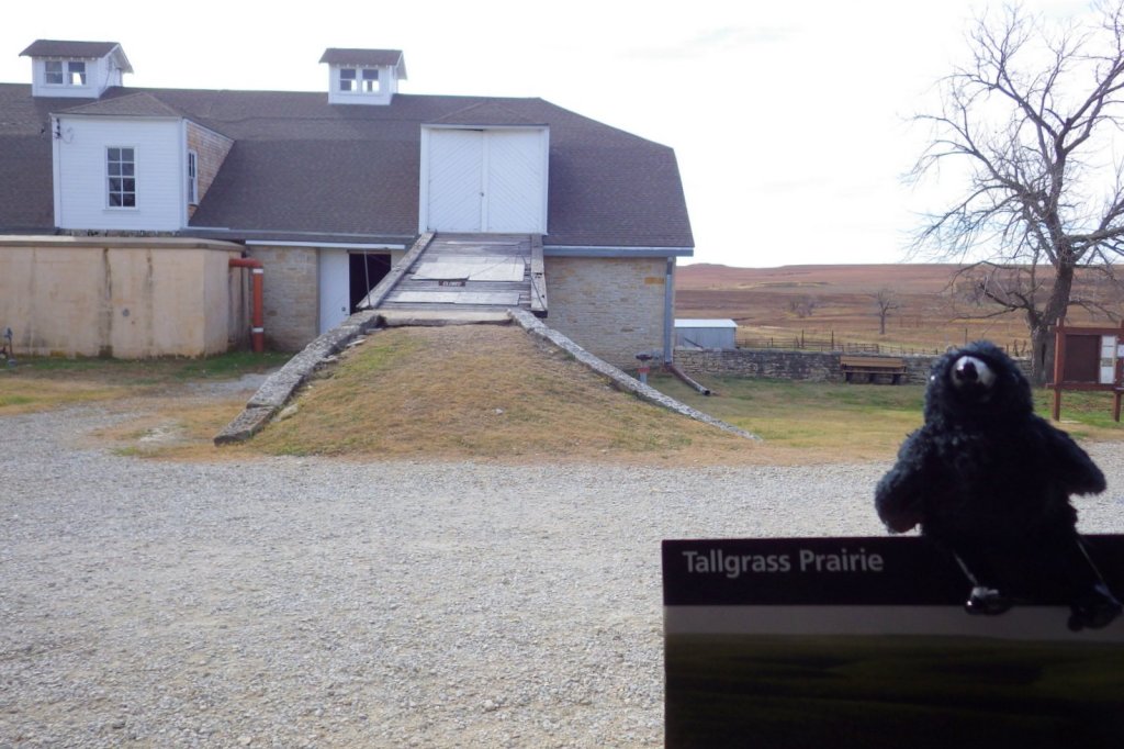
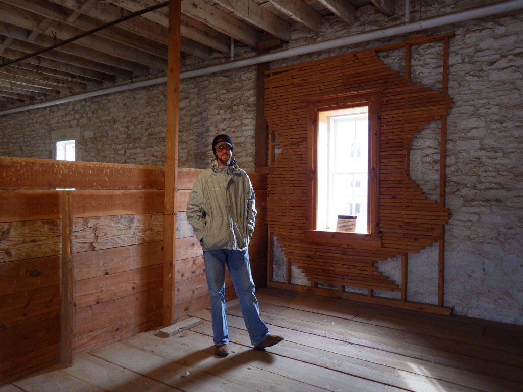
After reading the interpretive panels at the visitor center, walk around the buildings next door at the historic Spring Hill Ranch. The 1881 ranch house is open for tours seasonally.
Best Trail
There are many trails that wander through the 10,894-acre preserve that is jointly run by the Nature Conservancy and National Park Service. Many loop options are possible, but no backpacking is allowed, possibly due to the bison herd.
Instagram-worthy Photo
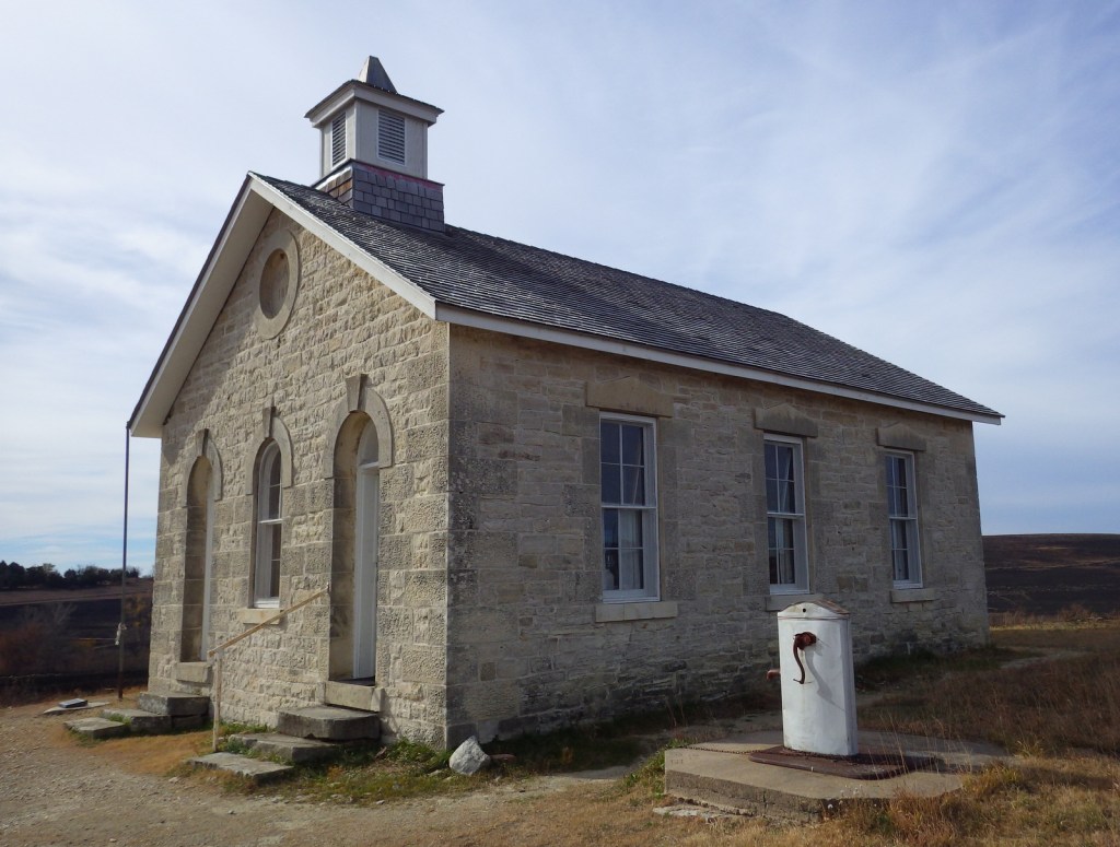
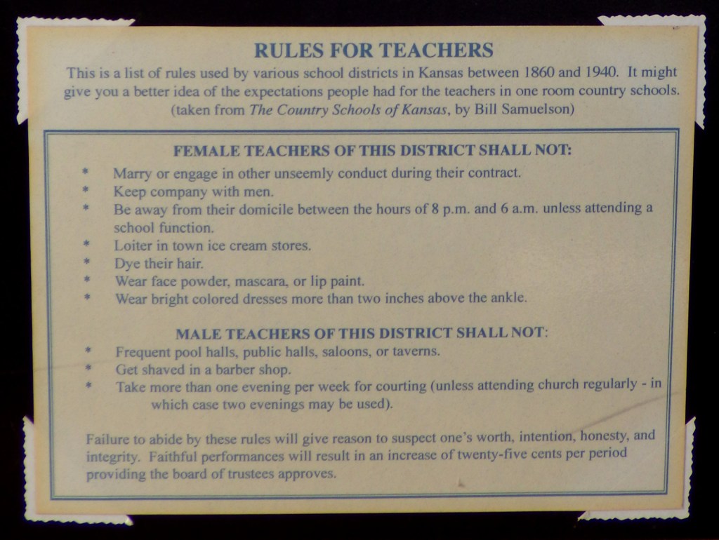
Just down the road from Spring Hill Ranch is the one-room Lower Fox Creek School which was open from 1884 to 1930. Its walls are made of local limestone.
Peak Season
Summer
Hours
https://www.nps.gov/tapr/planyourvisit/hours.htm
Fees
None
Road Conditions
All roads paved
Camping
Chase State Fishing Lake has 10 primitive campsites two miles outside Cottonwood Falls, Kansas. Several U.S. Army Corps of Engineers campgrounds surround Council Grove Lake, which is located 20 miles north.


Explore More – At first the grasslands may all look the same, but how many species of plants are found within Tallgrass Prairie National Preserve?

We are a participant in the Amazon Services LLC Associates Program, an affiliate advertising program designed to provide a means for us to earn fees by linking to Amazon.com and affiliated sites.