Bighorn National Forest
Wyoming
Managed by U.S. Forest Service, Rocky Mountain Region
1,115,160 acres (1,107,571 federal/ 7,589 other)
Website: https://www.fs.usda.gov/bighorn
Overview
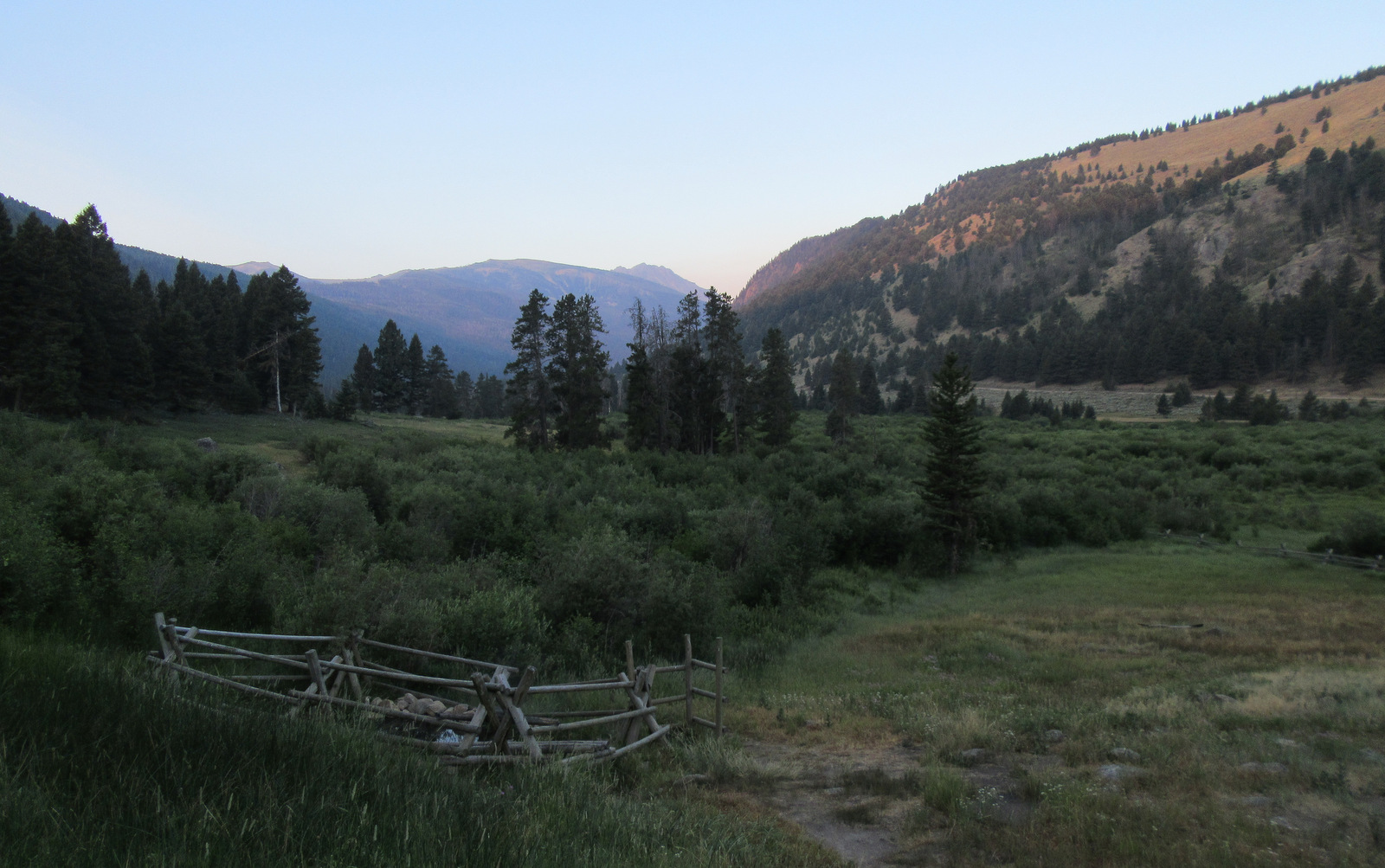
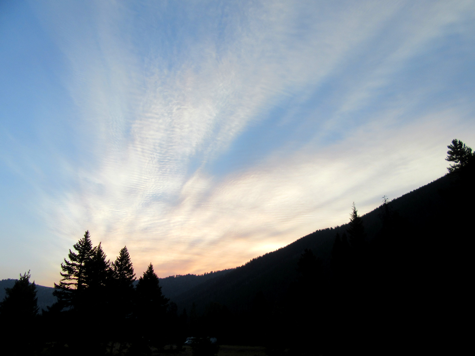
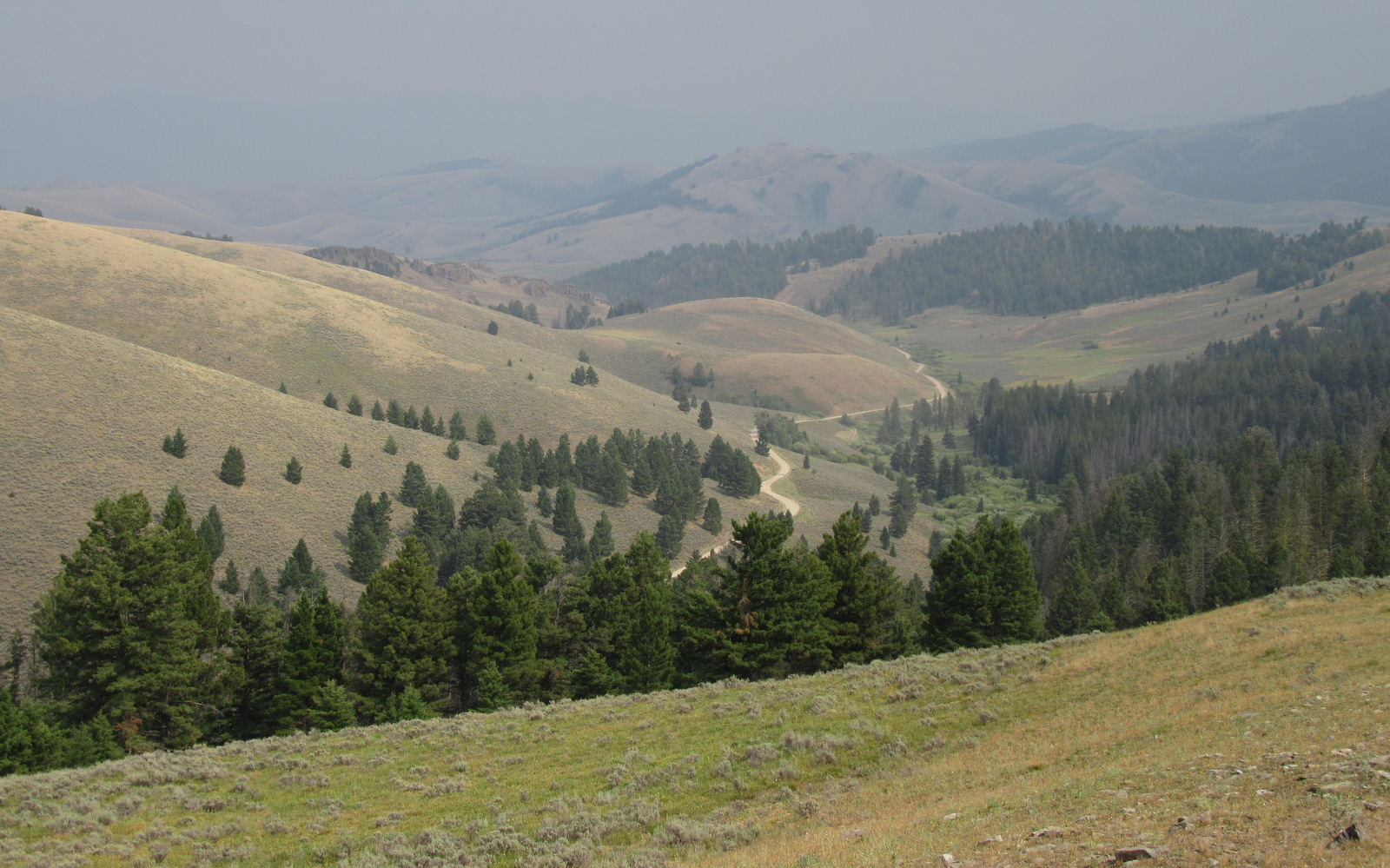
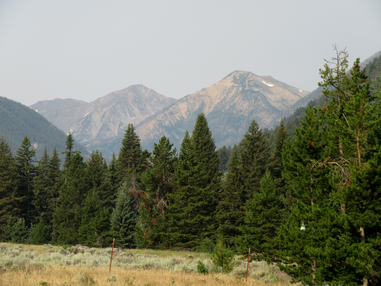
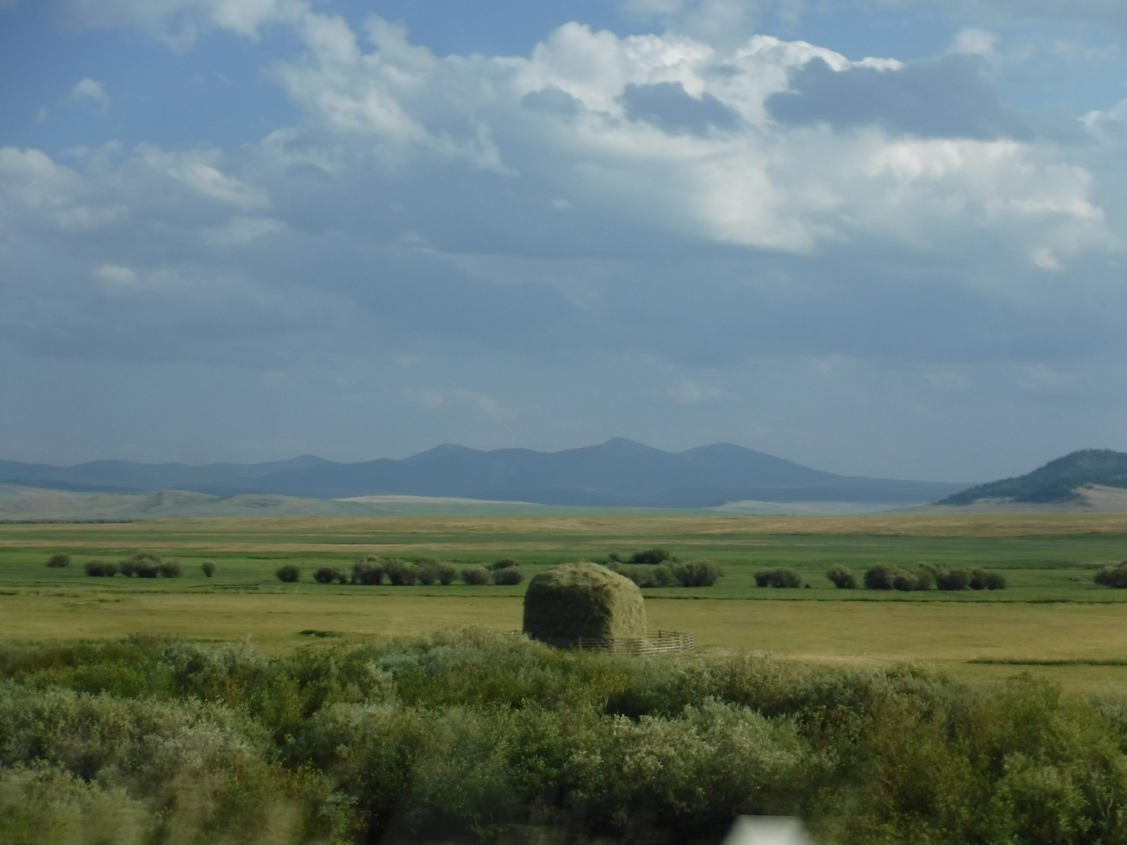
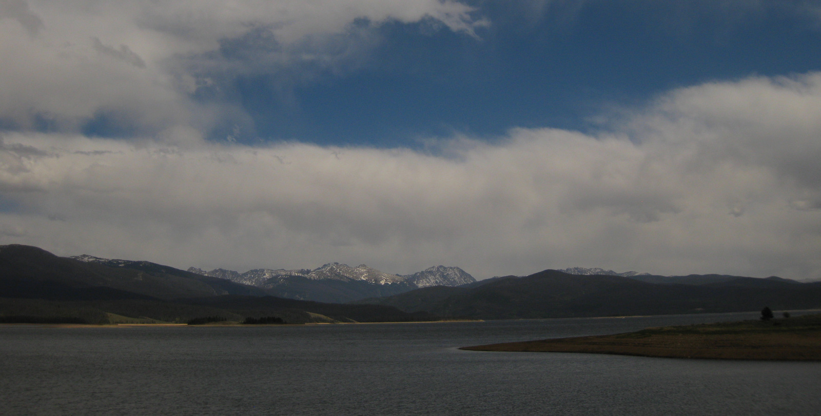
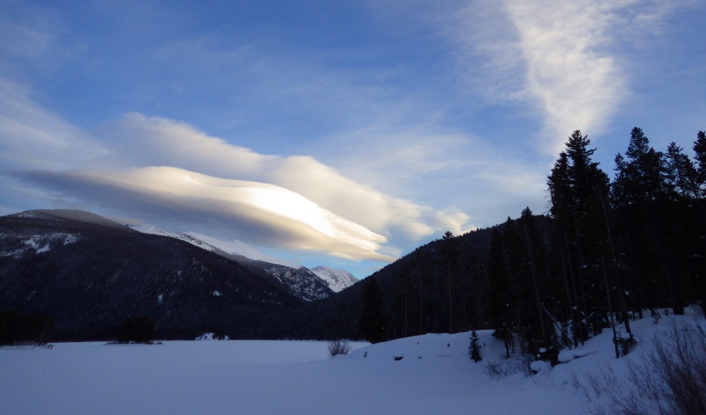
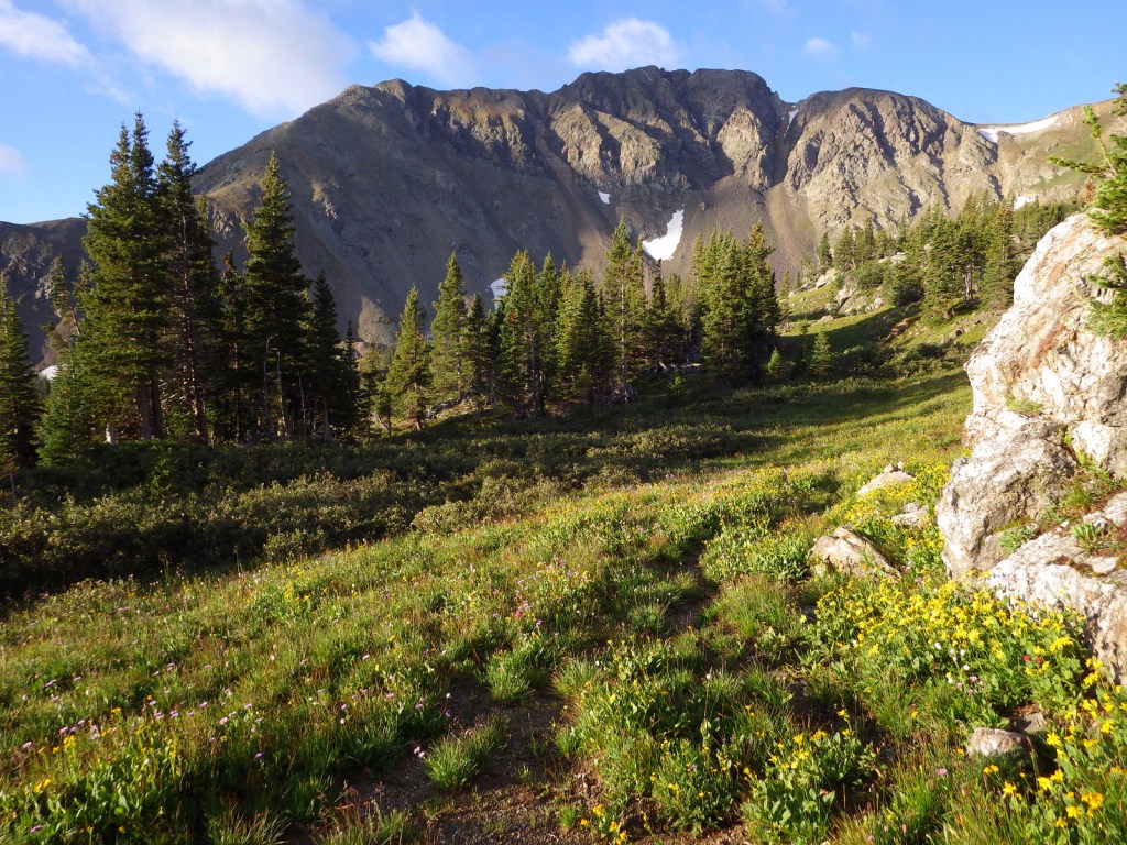
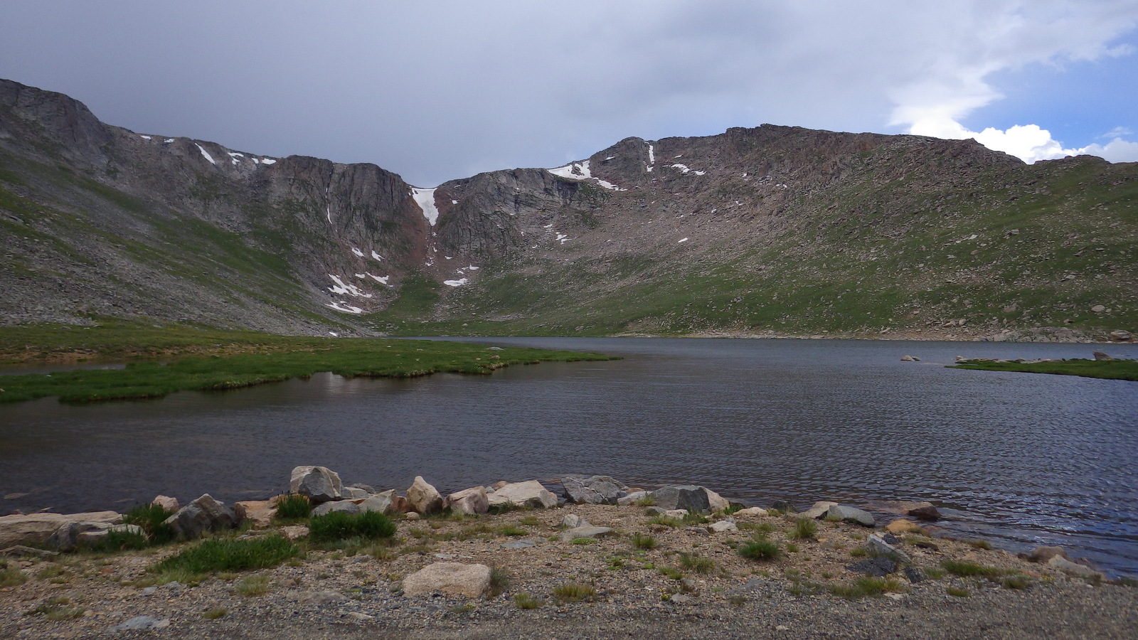
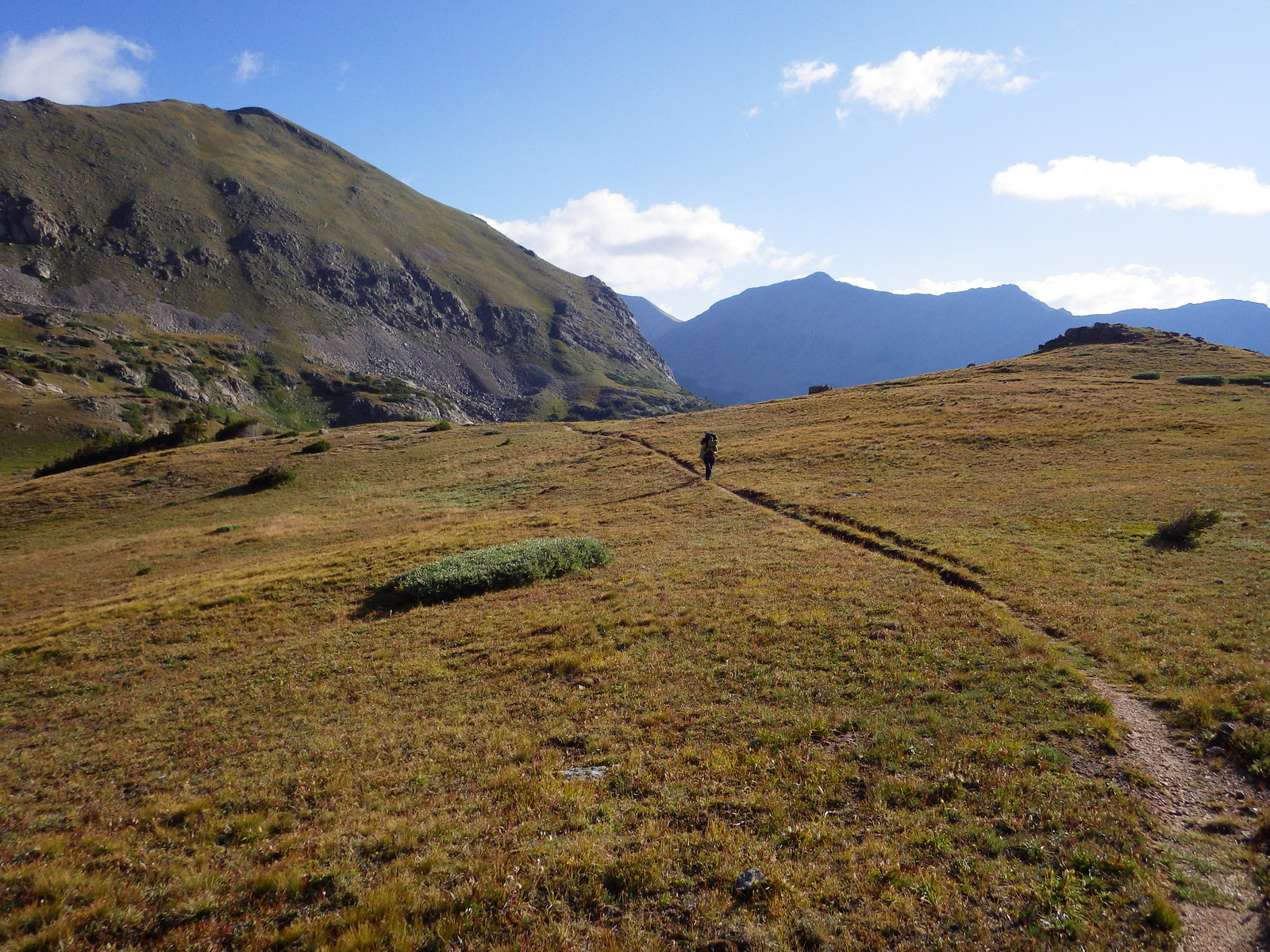
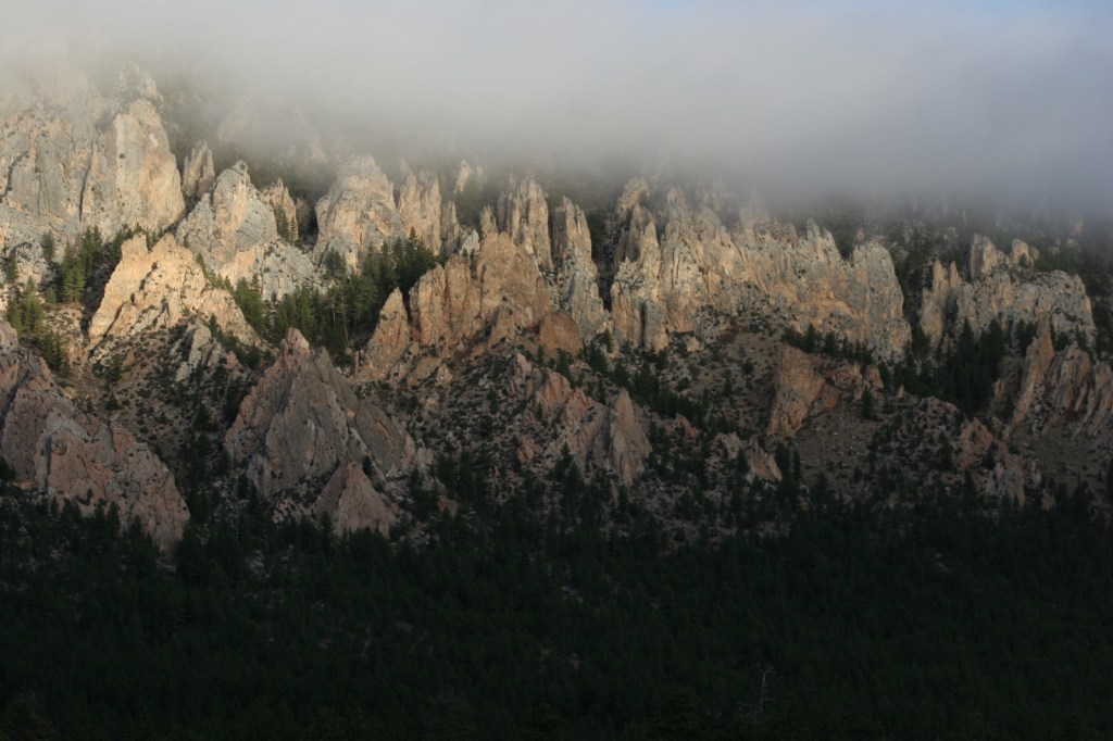
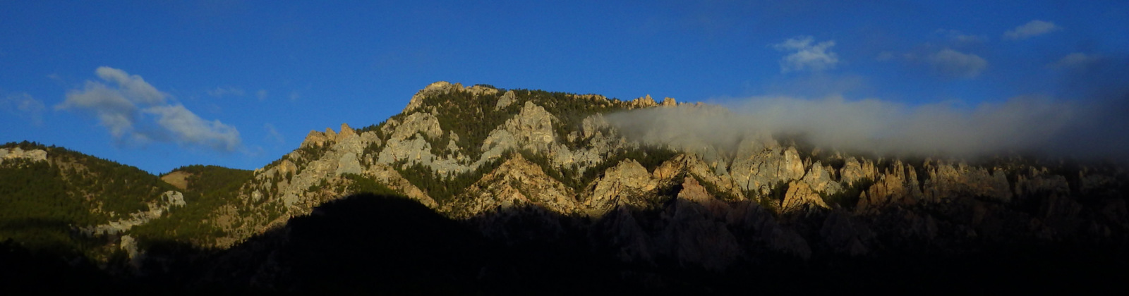
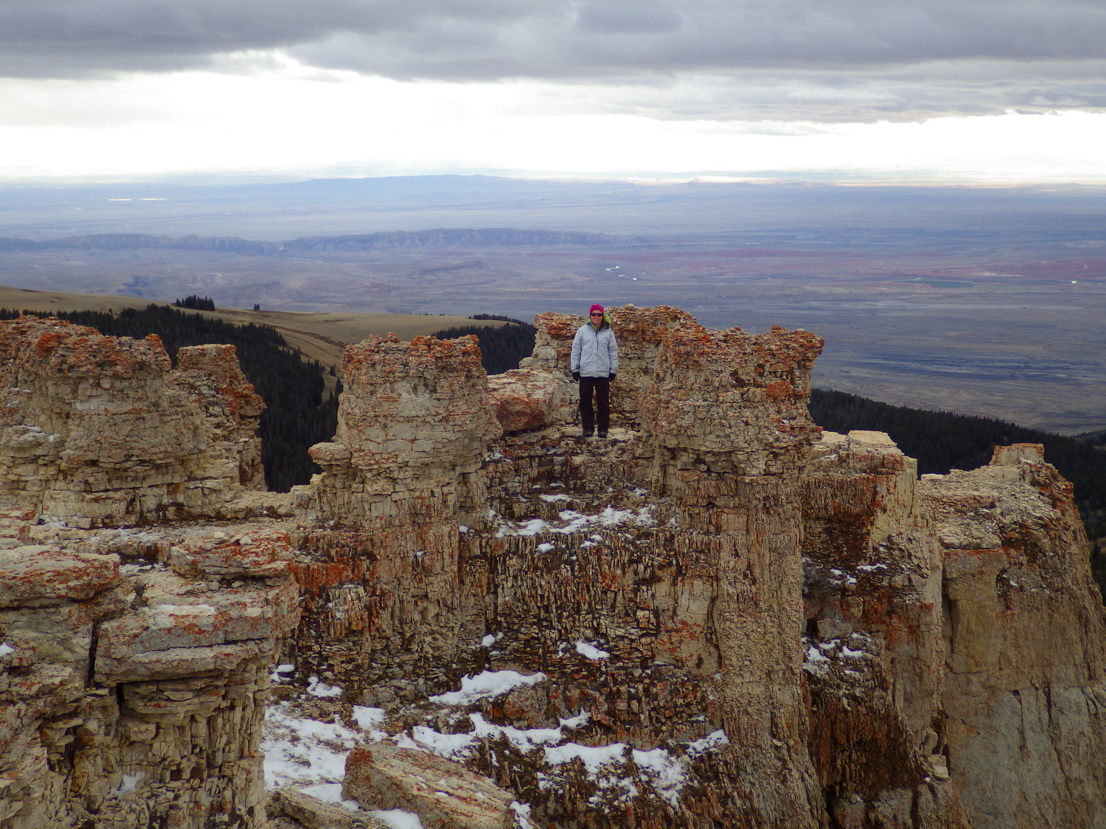
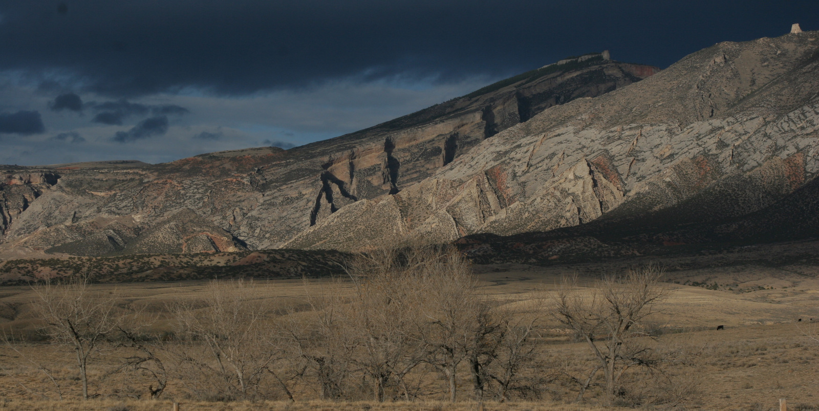
In northern Wyoming, the Bighorn Mountains are crisscrossed by three scenic byways: Cloud Peak Skyway, Bighorn Scenic Byway, and Medicine Wheel Passage. Bighorn National Forest has such amazing views you can even enjoy them without stepping foot on the ground. While you could enjoy the National Forest strictly through your windshield, you should lace up your hiking boots and explore some of the 150 miles of trails within the spectacular 189,039-acre Cloud Peak Wilderness.
Highlights
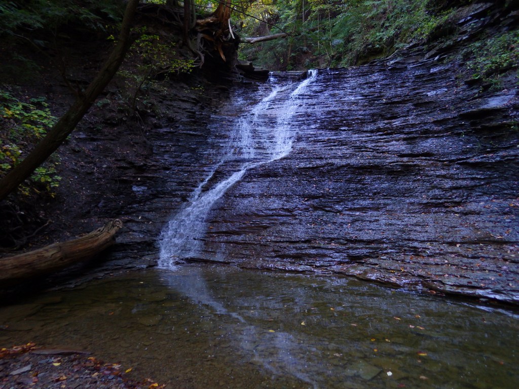
Shell Falls, Fallen City, Medicine Wheel National Historic Landmark, Bucking Mule Falls, Coney Lake, Porcupine Falls, Crazy Woman Creek, Ten Sleep Canyon, Mistymoon Trail
Must-Do Activity
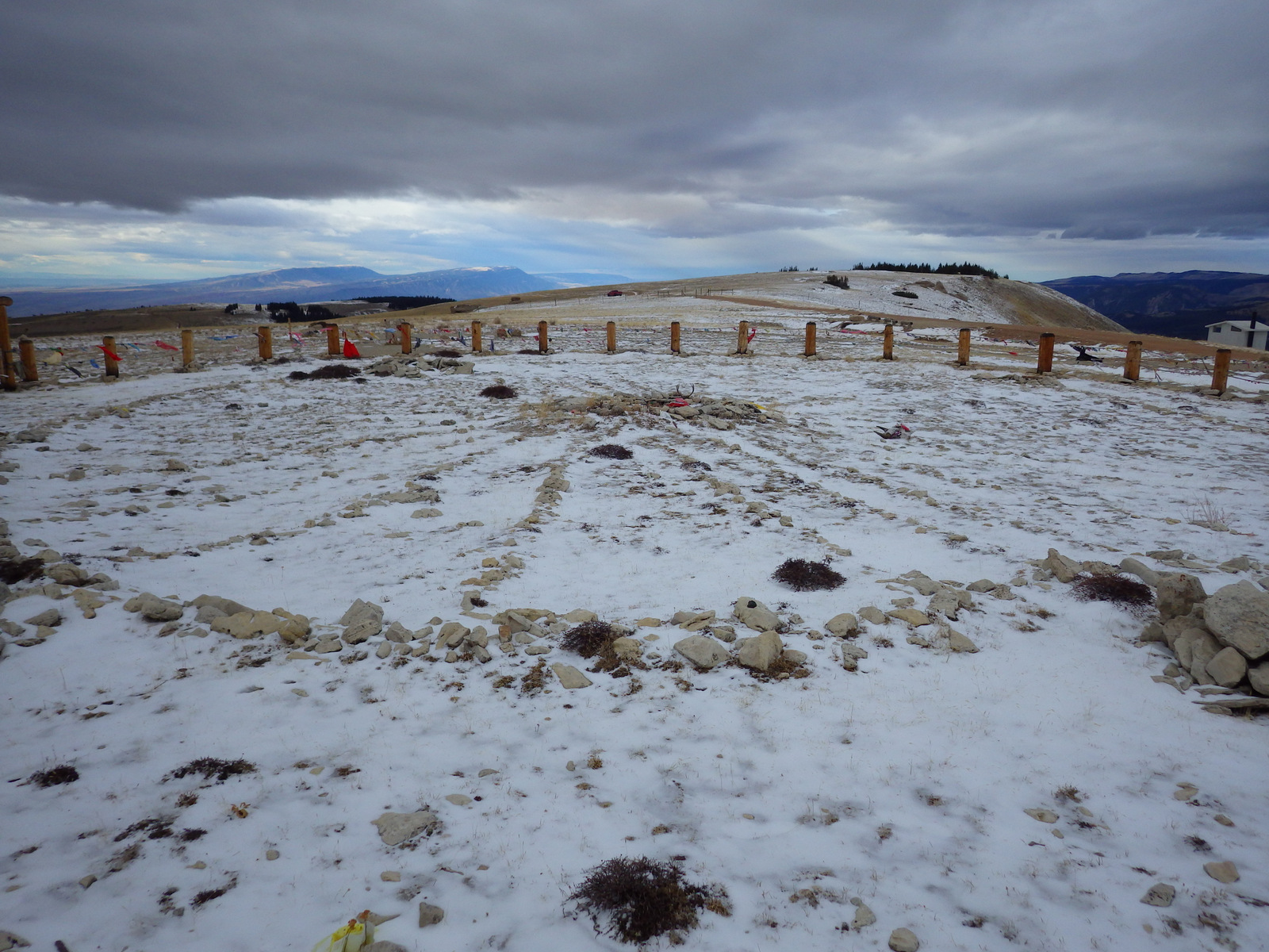
Medicine Wheel National Historic Landmark is an 80-foot-diameter circle of rocks divided into 28 spokes to match the lunar cycle. This breathtaking archaeological site lies at nearly 10,000 feet in elevation with stunning panoramas in all directions. It is possible to drive all the way to the site with a four-wheel-drive vehicle, but most visitors park in the lot located three miles up the road that climbs steeply from the turnoff on Highway 14A. From the parking area, it is a 1.5-mile walk down the undulating road, which can be cold and windy even in the middle of the summer.
Best Trail
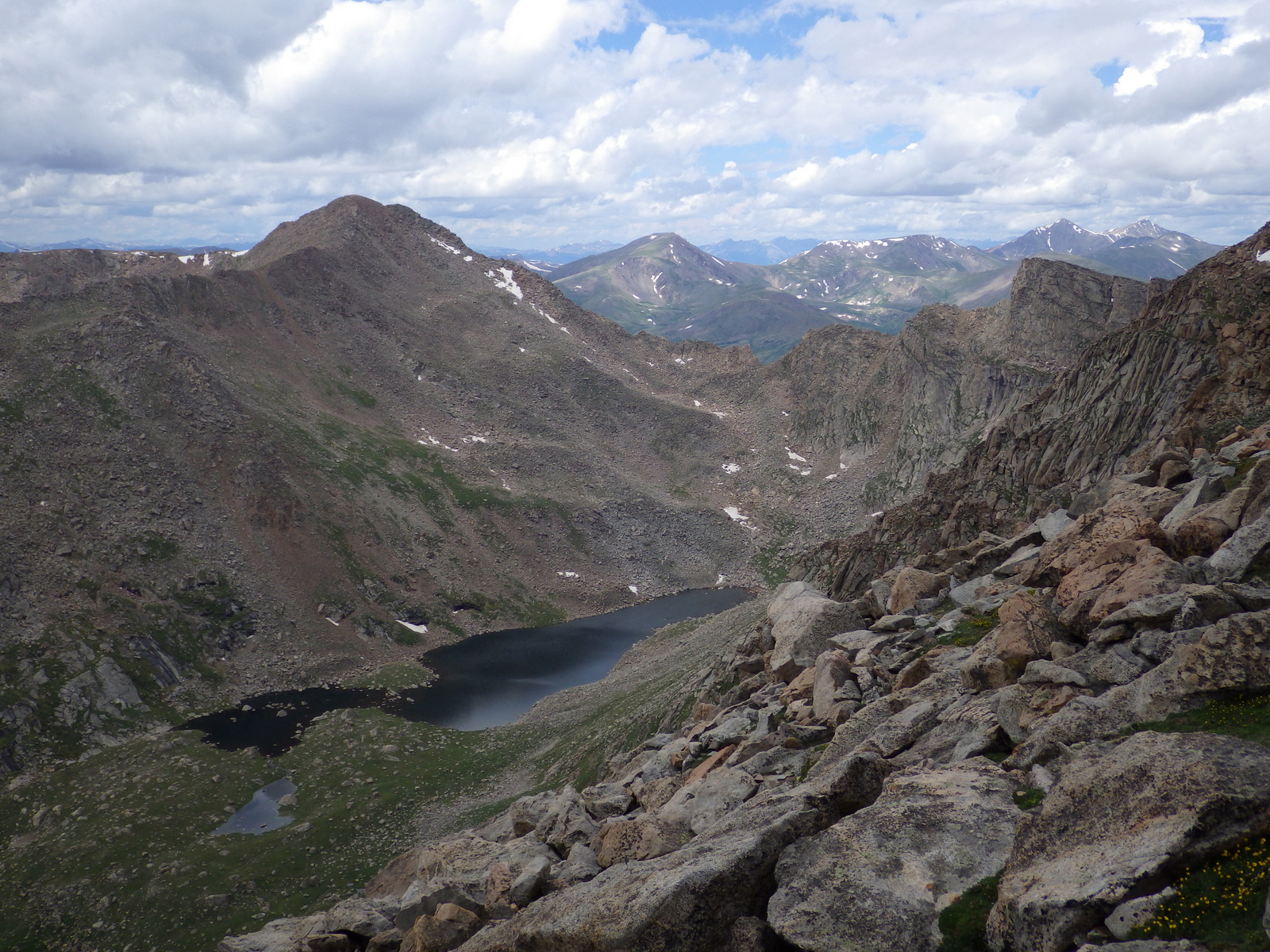
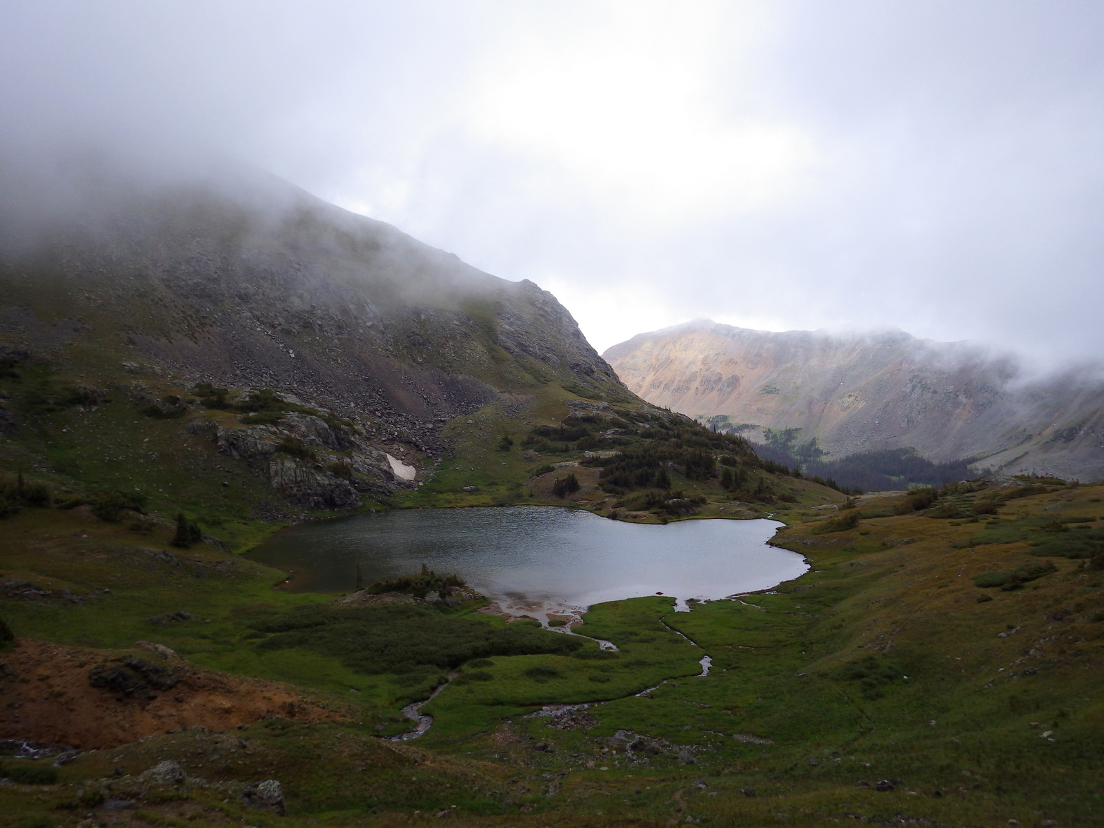
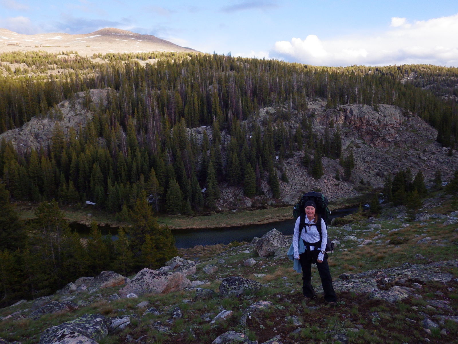
Mistymoon Trail is one of the most famous backpacking areas in the state of Wyoming, a six-mile jaunt into scenic Cloud Peak Wilderness with only about 1,000 feet elevation gain to Mistymoon Lake. Leaving from the same trailhead at West Tensleep Lake, another trail leads to Mirror Lake and Lost Twin Lakes after multiple stream crossings.
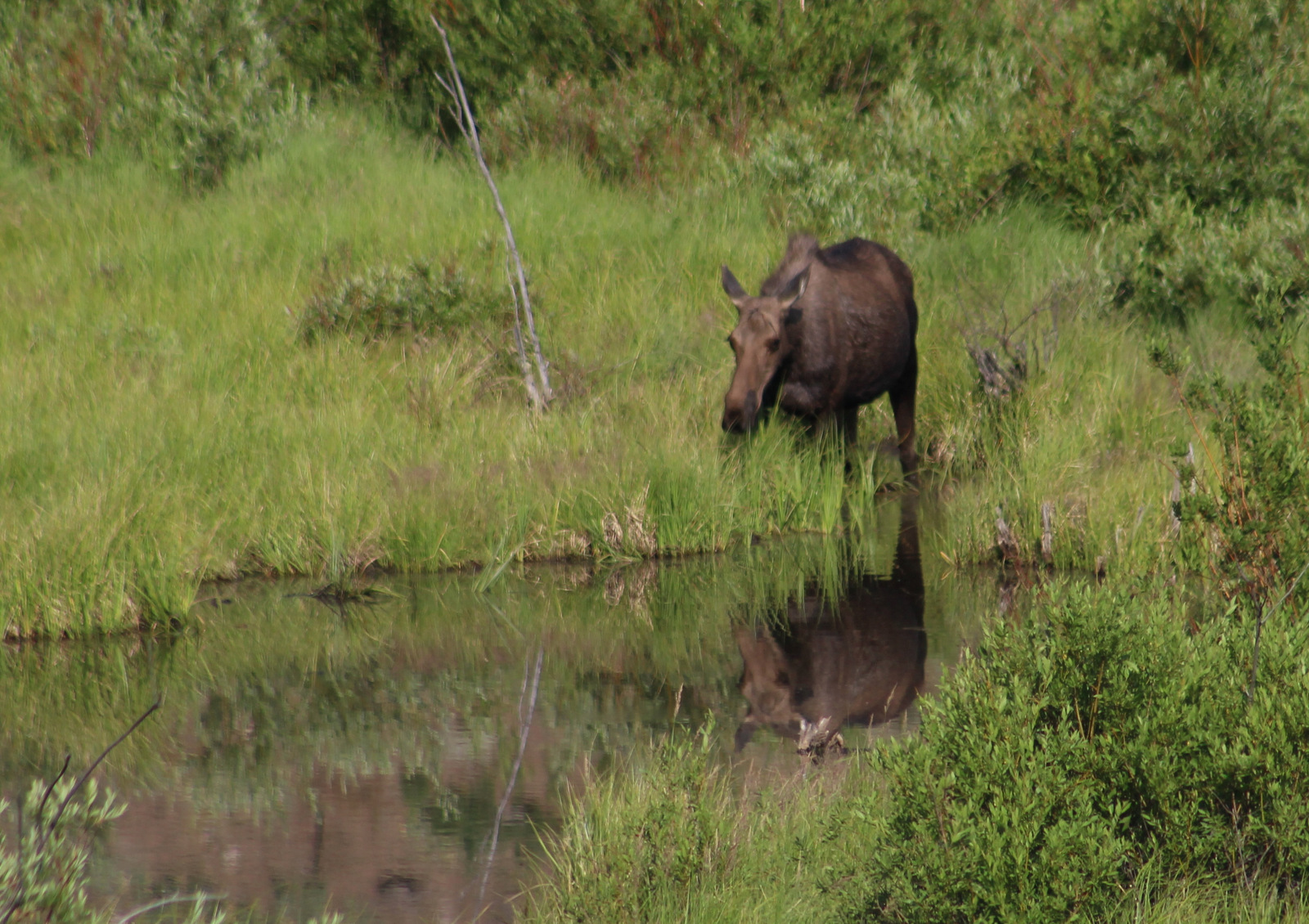
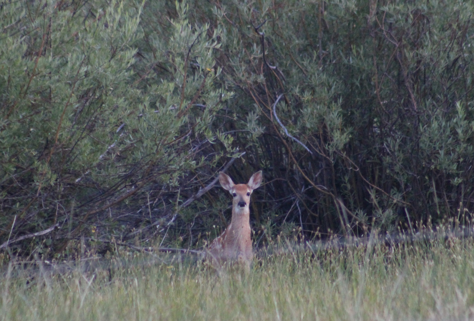
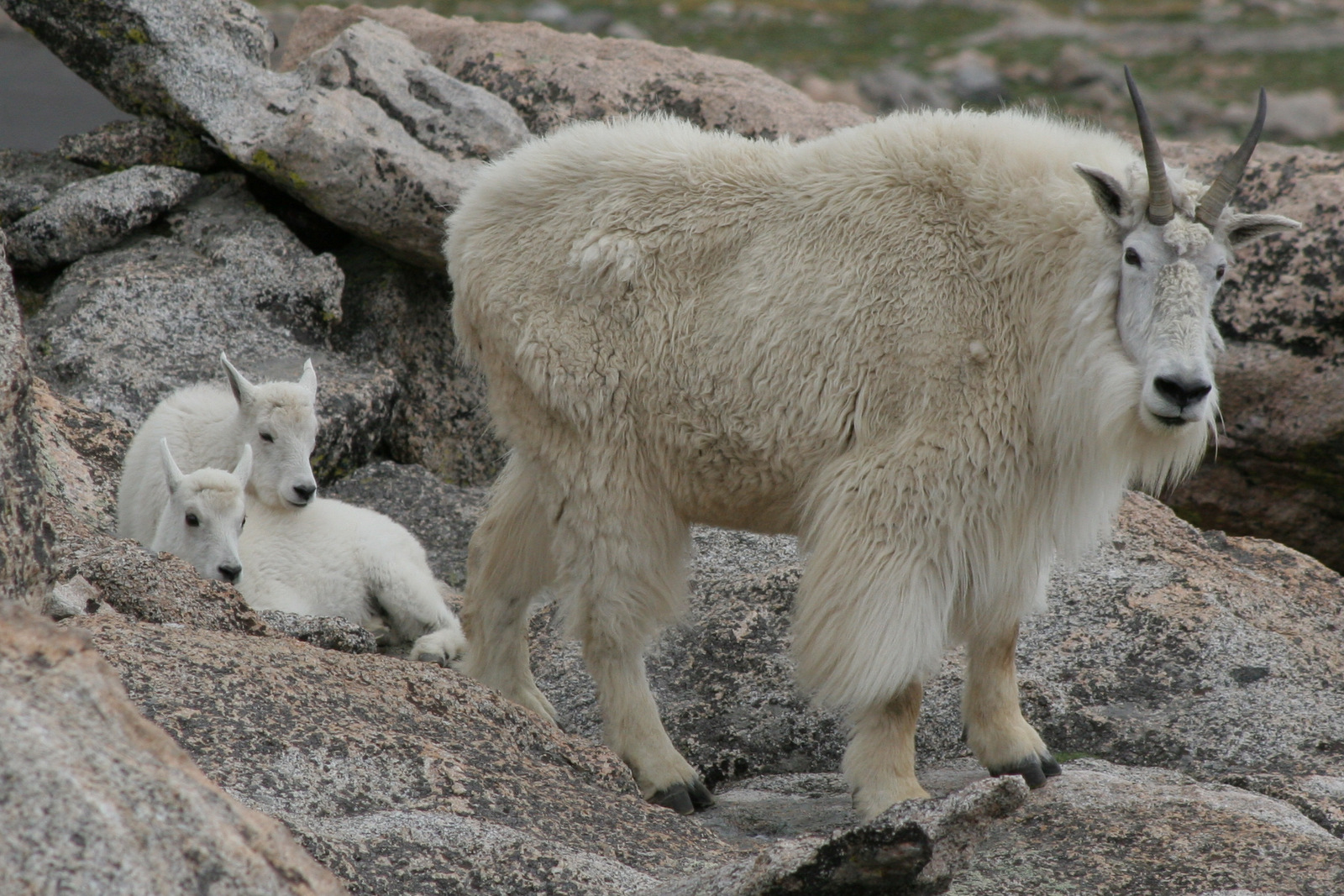
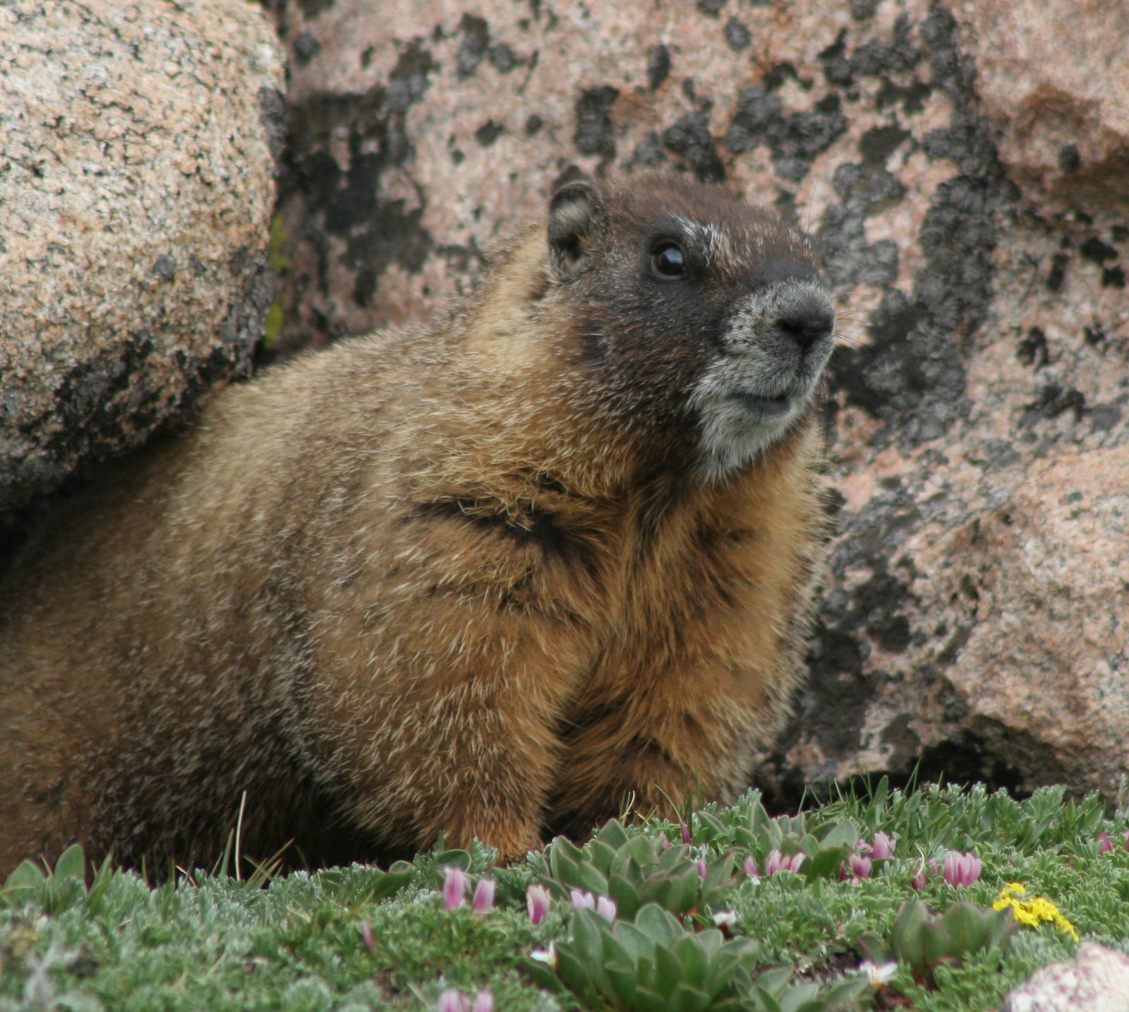
Watchable Wildlife
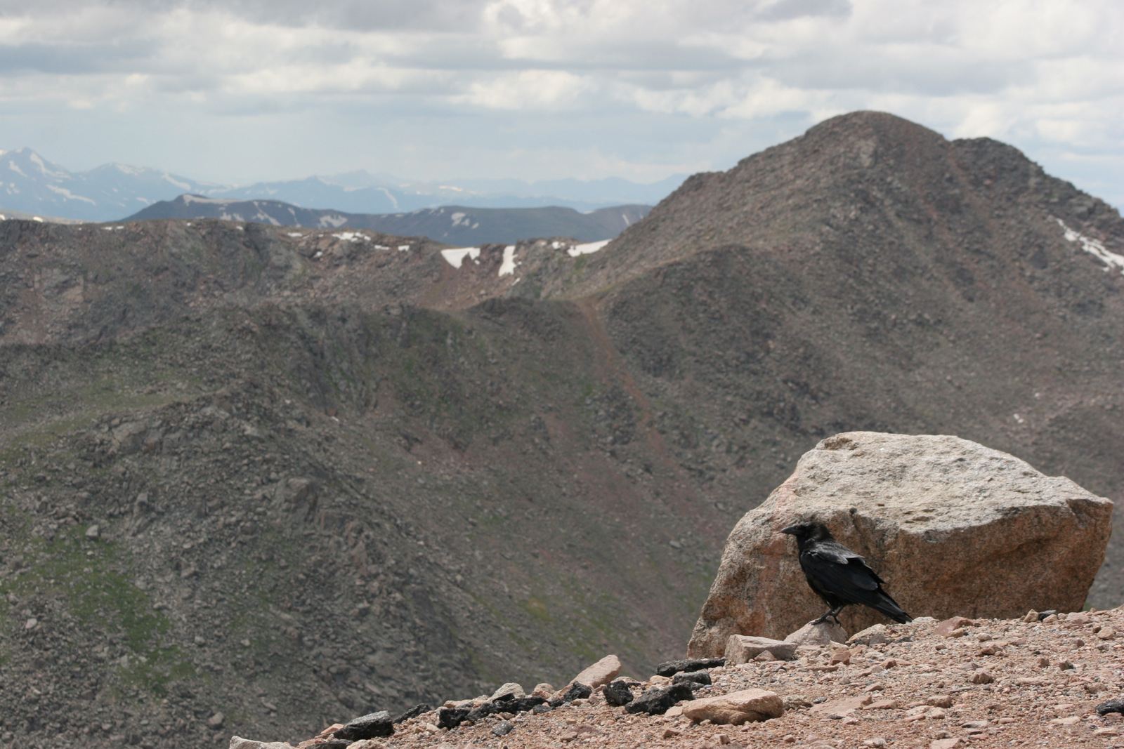
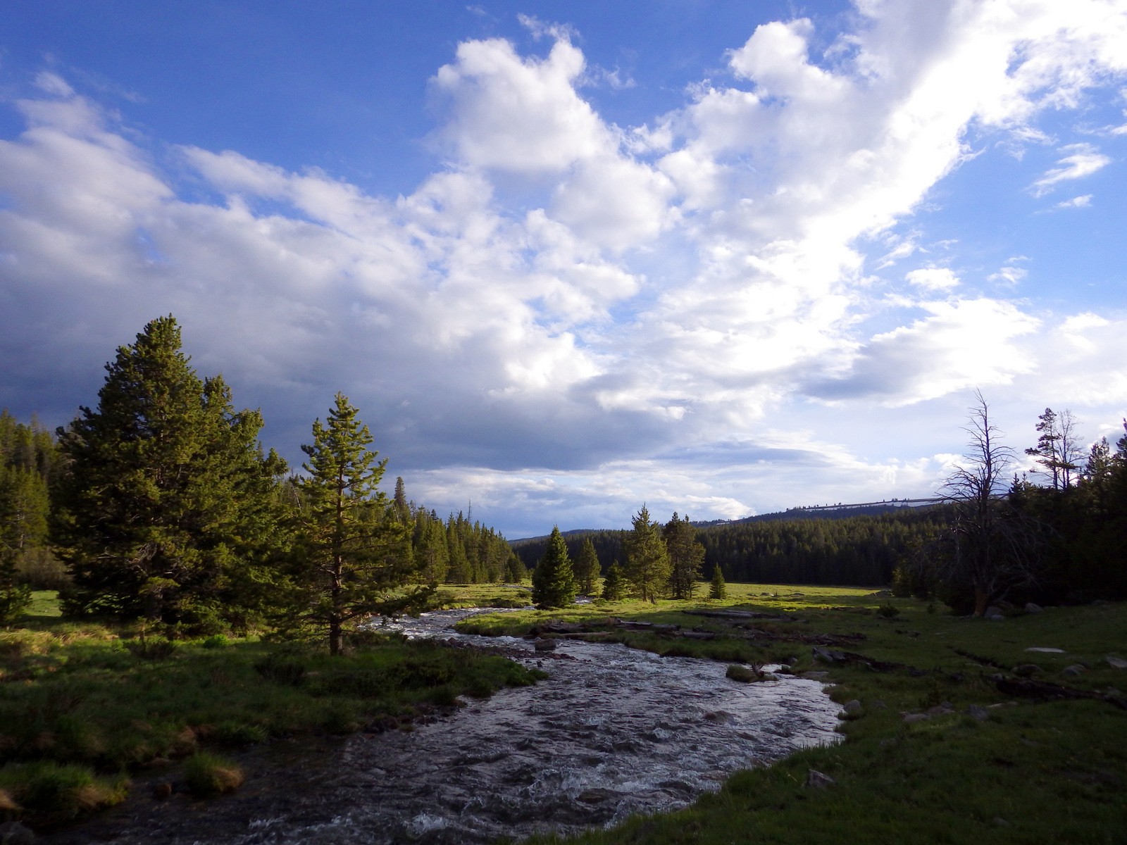
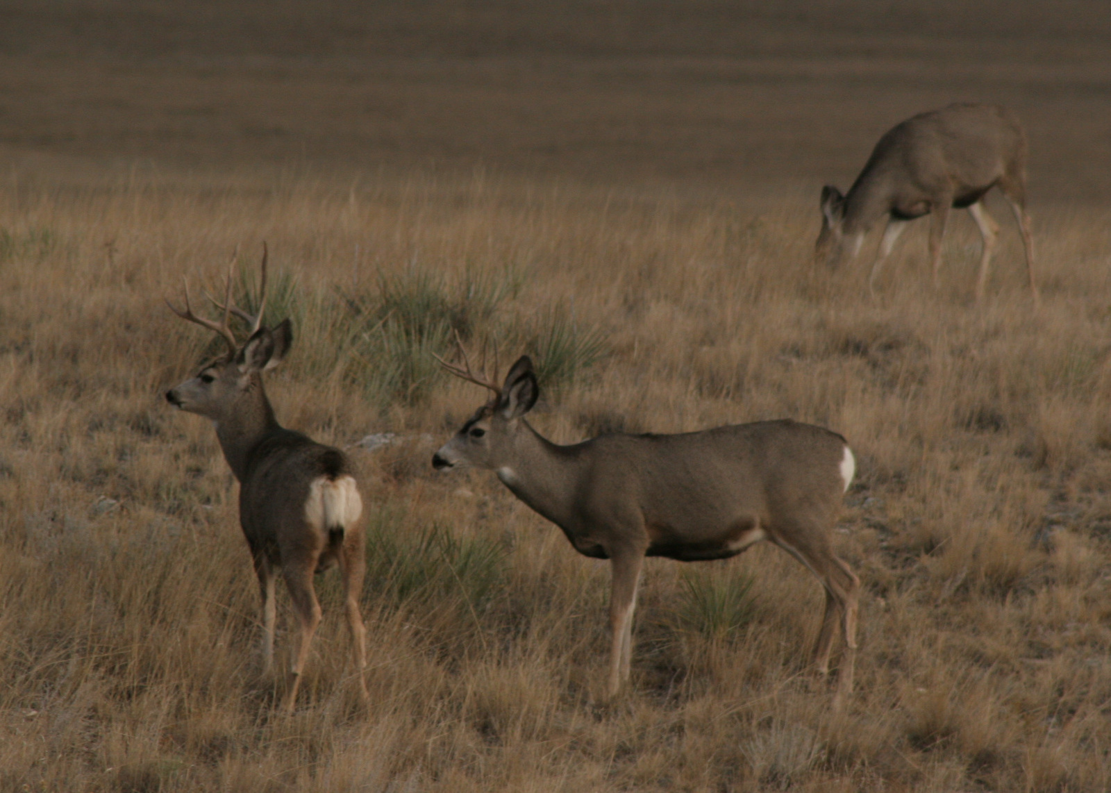
As you might guess from its name, the National Forest is home to bighorn sheep, although they had to be reintroduced after being eradicated by diseases and hunting. Given its location at the edge of the Great Plains, both white-tailed deer and mule deer overlap here, usually to the detriment of less-aggressive mule deer. The North Tongue River is one of several clear waterways that attract trout fishermen, and elk hunters crowd this area in the fall.
Instagram-worthy Photo
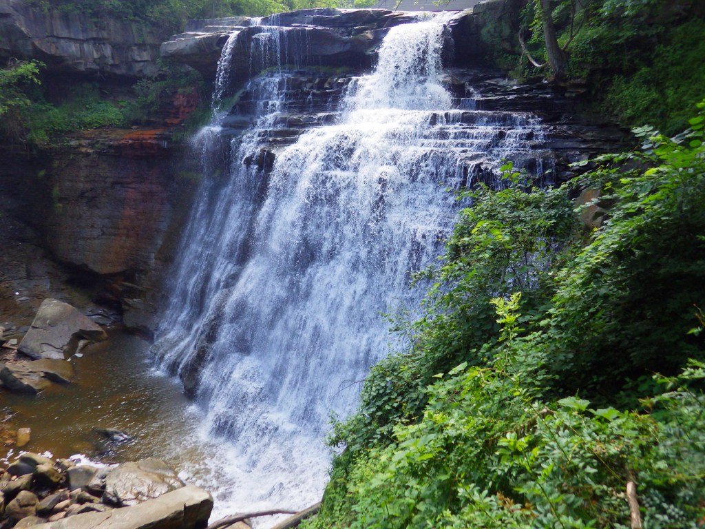
You will definitely want to get out of the car to see 120-foot tall Shell Falls, which is located right off Highway 14.

Peak Season
Summer
Fees
None
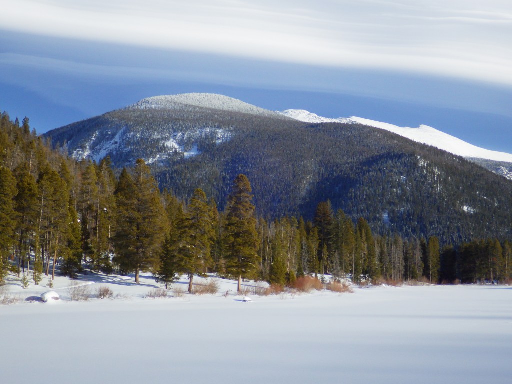
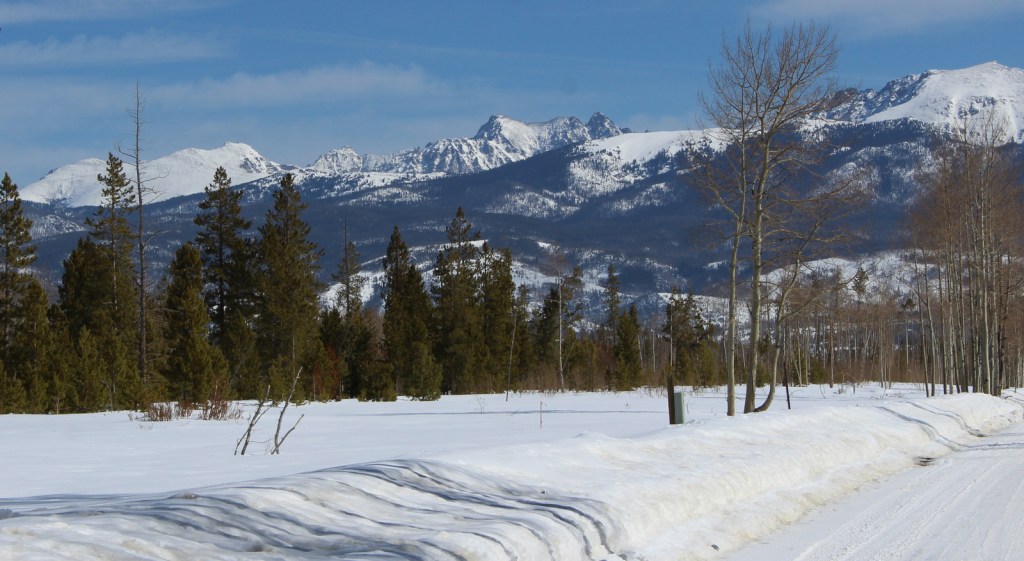
Road Conditions
Snow can close Cloud Peak Skyway (Highway 16) and Bighorn Scenic Byway (Highway 14) temporarily in the winter, and Medicine Wheel Passage (Highway 14A) until late spring. Forest Road 27 is a wide gravel road that leads seven miles north from Highway 16 to West Tensleep Lake Campground and trailhead. Accessing the short trail to 600-foot tall Bucking Mule Falls involves driving about ten miles of dirt roads.
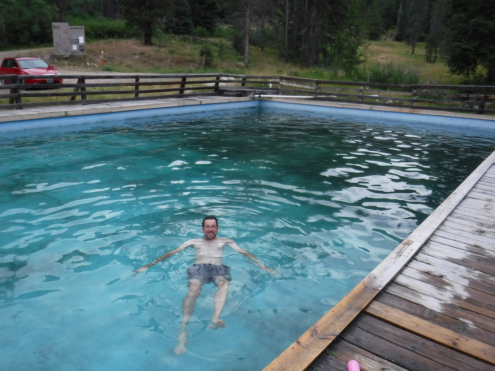
Camping
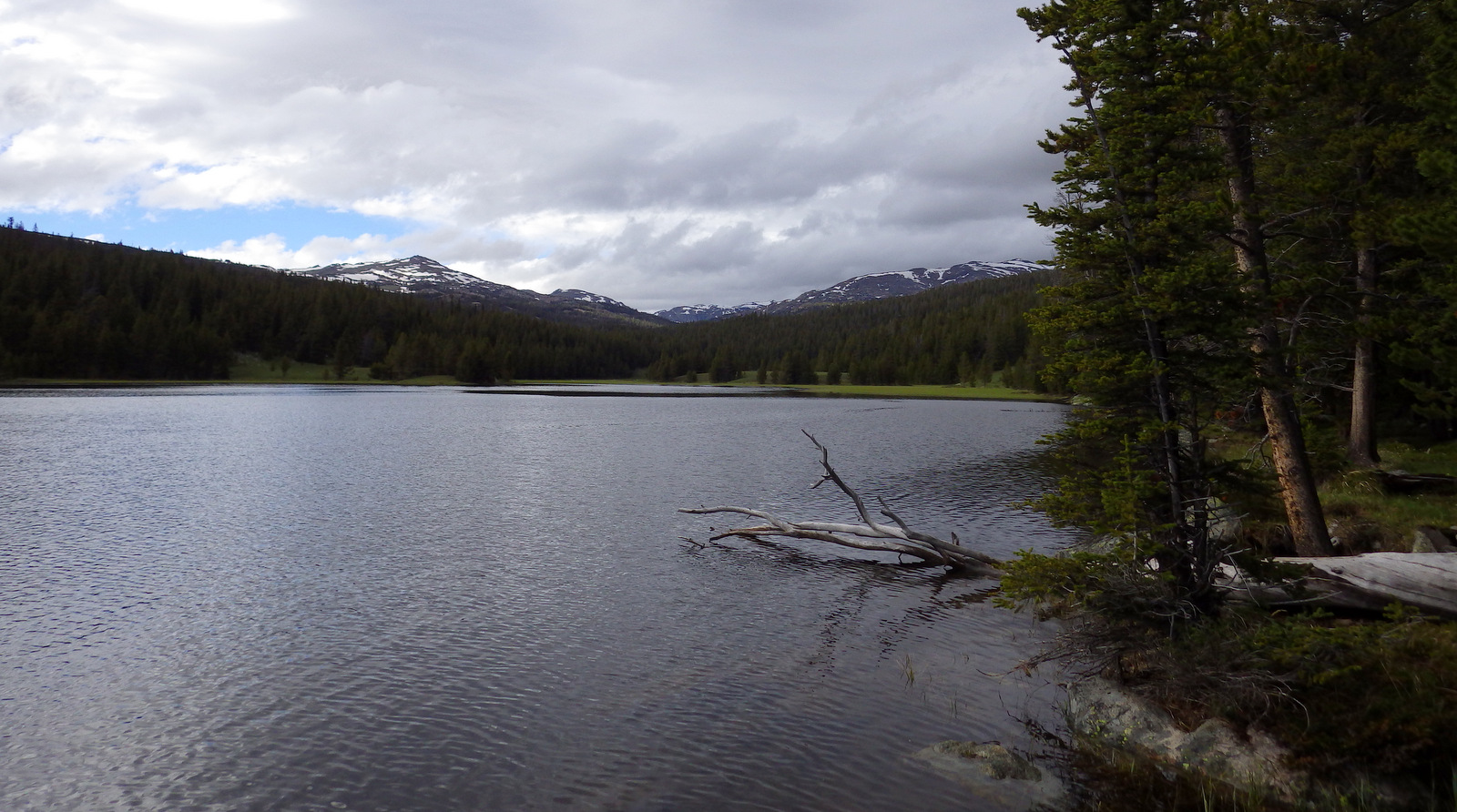
There are many campgrounds, including popular ones at Meadowlark Lake and West Tensleep Lake. For a more-developed experience, try Medicine Lake Lodge or Meadowlark Lake Resort. We have driven through this area multiple times and found a couple good dispersed campsites on dirt roads.
Wilderness Areas
Cloud Peak Wilderness
Related Sites
Bighorn Canyon National Recreation Area (Montana-Wyoming)
Little Bighorn Battlefield National Monument (Montana)
Black Hills National Forest (South Dakota-Wyoming)
Nearest National Park
Yellowstone (Wyoming-Montana-Idaho)


Conifer Tree Species
Douglas-fir, Rocky Mountain juniper, subalpine fir, Engelmann spruce, white spruce, limber pine, ponderosa pine, lodgepole pine
Flowering Tree Species
quaking aspen, Rocky Mountain maple, curlleaf mountain-mahogany, sagebrush
Explore More – How tall is Cloud Peak, namesake for the 189,039-acre Cloud Peak Wilderness?