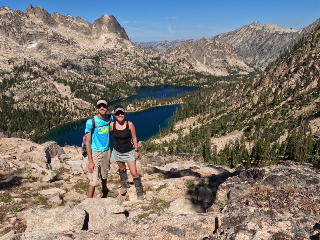
We recently returned from a trip to five National Forests in Idaho, as well as Yellowstone National Park (which is celebrating its 150th anniversary). You might think after visiting all 155 National Forests and publishing a book about them that we would take a break from National Forests, but we love hiking too much to stay away. Today we updated our posts on Boise and Caribou National Forests with new photos. Also, we will repost on Sawtooth National Recreation Area after our three-night backpacking trip west of Redfish Lake. After going in alphabetical order for every National Forest so far, we waited to do Challis National Forest until after summiting Borah Peak last week, so expect that one soon.
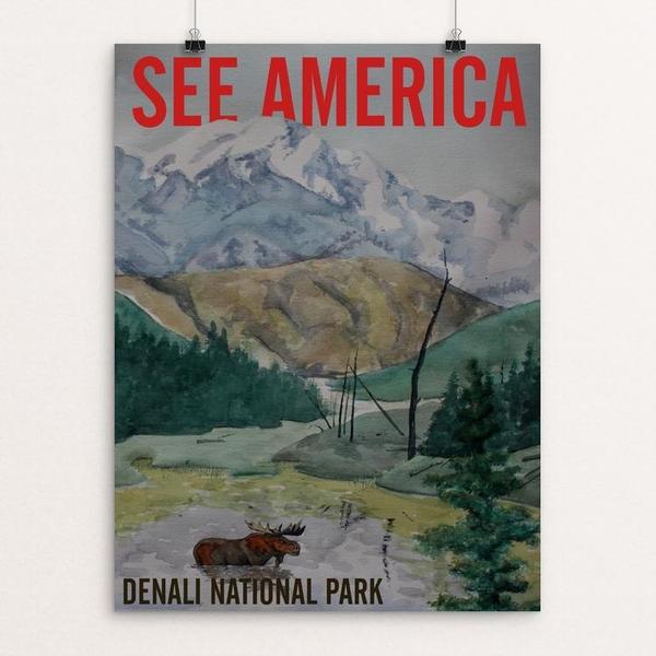
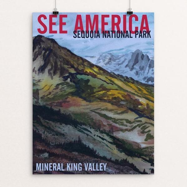
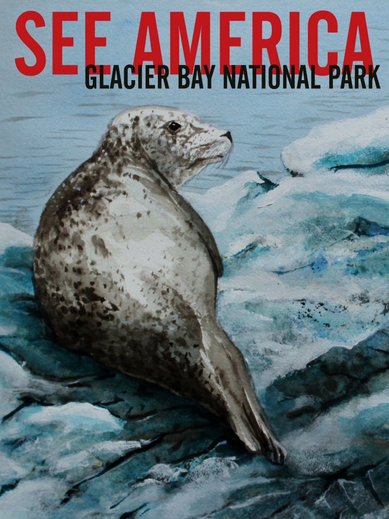
During the 1930s, there was a travel advertising campaign with the promotional tagline “See America First.” It was created because many Americans were taking their tourism dollars overseas and never exploring their home country. With international travel currently restricted due to the pandemic, there has never been a better time to discover the United States of America. Below we present more than a dozen famous world travel destinations with their similar National Park Service (NPS) counterparts. For more vacation ideas within American borders, check out all of our Top 10 Lists.
The NPS system also contains some of the world’s best caves (Carlsbad Caverns National Park, Timpanogos Cave National Monument) and places to watch active lava flows (Hawai’i Volcanoes National Park). Learn more in our guidebook to the 62 National Parks, A Park to Yourself: Finding Adventure in America’s National Parks (available on Amazon).
See and climb iconic mountain spires in Wyoming or visit California’s three National Parks in the Sierra Nevadas (Sequoia, Kings Canyon, and Yosemite).
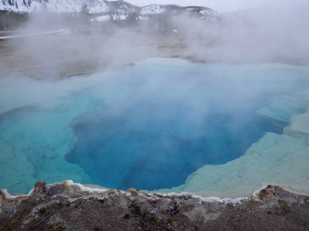
About 75% of the world’s geysers are found within this one park, and similar geologic wonders can be found at California’s Lassen Volcanic National Park.
The 3,000-year-old Great Gallery stretches over 200 feet at the bottom of Horseshoe Canyon, or check out the pictographs in Texas’ Amistad National Recreation Area.
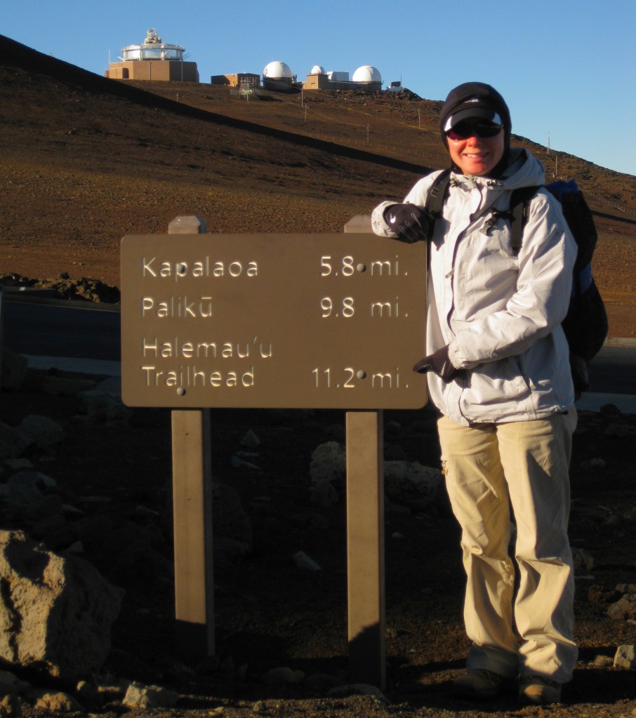
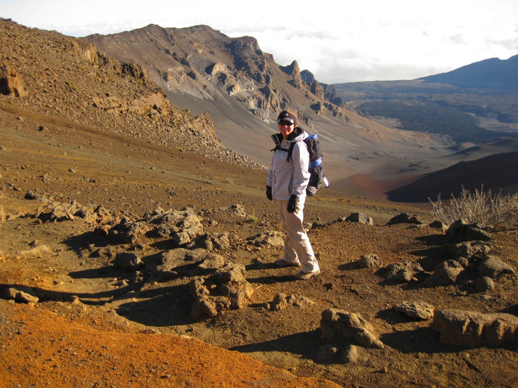
On the tropical island of Maui, Haleakalā National Park is accessible by two memorable roads. One road climbs from sea level up to 10,023 feet overlooking Haleakalā Crater, which has almost no vegetation. To the east, a lush tropical rainforest thrives in the Kīpahulu District located at the end of the winding road to Hana. Both districts offer great hiking opportunities and free campgrounds. There is much more information about this park in our National Park guidebook, available on Amazon.
The thing to do at Haleakalā National Park is drive up the curvy entrance road in the pitch dark to catch a sunrise from 10,000 feet. Haleakalā translates to “the house of the sun” so it is kind of a big deal here. It is like a party atmosphere in the chilly air waiting for the guest of honor. Of course, we were up there one morning, though we thought the sunsets were prettier and much less crowded. Several tours drive visitors to the summit for sunrise then provide bicycles to coast back down the switchbacks outside the park boundaries.
Best Trail
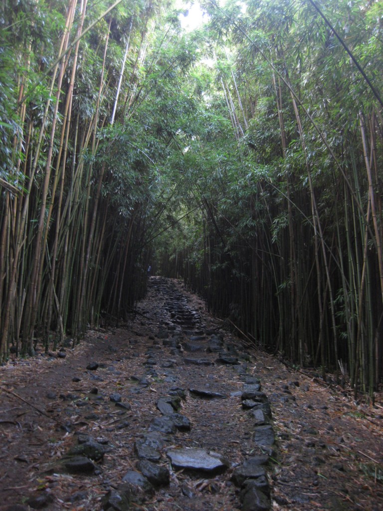
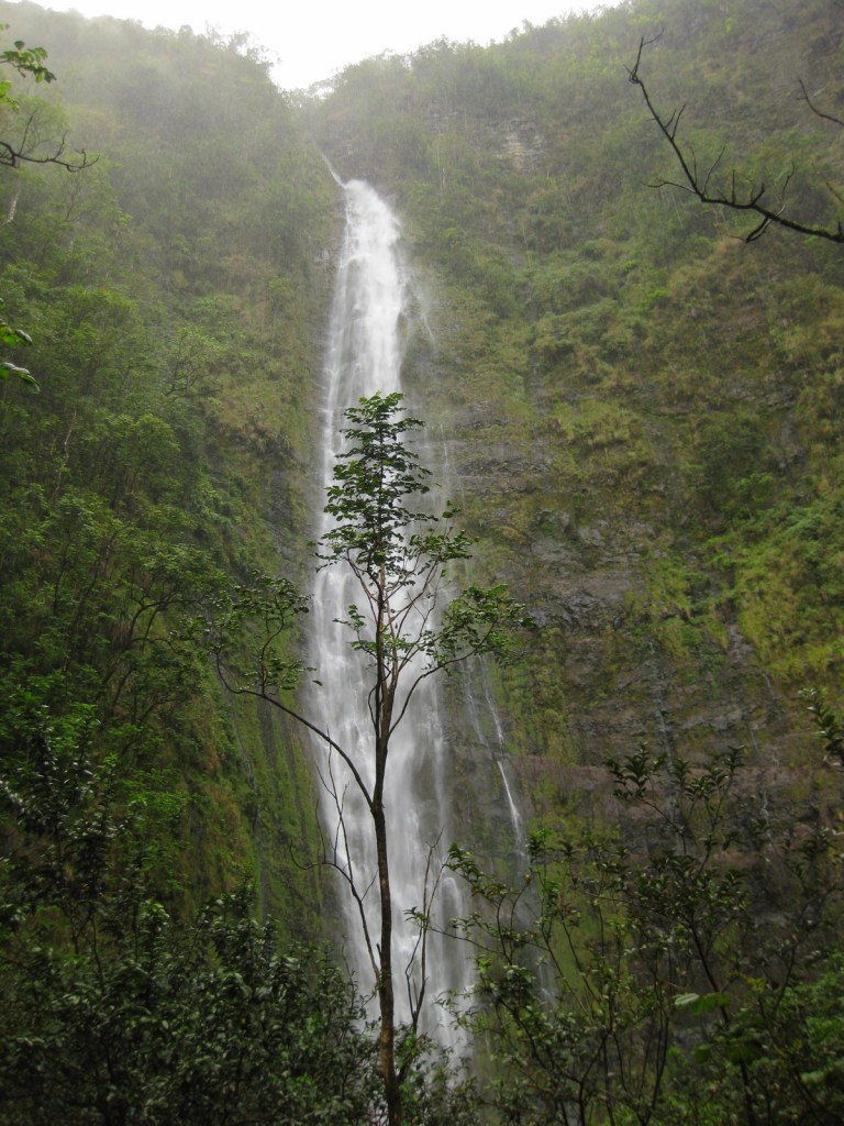
In the Kīpahulu District, we hiked the two-mile Pipiwai Trail to the 400 foot cascades of Waimoku Falls in a steady downpour. The trail offers some protection from rain under sprawling banyan trees and incredibly dense bamboo thickets. Like many of the plant and animal species found throughout Hawai‘i, the banyan and bamboo are not native to the islands, but have thrived on this isolated landmass 2,400 miles from the nearest continent.
Instagram-worthy Photo
Silversword (‘ahinahina) plants grow all along the Sliding Sands Trail that accesses the bottom of the 2,000 foot deep crater.
Peak Season
Year round, though summer might be slightly warmer at 10,000 feet in elevation.
All roads are paved, but the road to the summit is full of switchbacks and bicyclists. The curvy road to Hana is well known for its one-lane bridges, of which we counted 53 before we reached the Kīpahulu District.
Camping
The two National Park Service campgrounds here are free, a big savings in a place that can be expensive to visit. There is a lottery for three hike-in cabins and permits available for wilderness backpacking campsites.
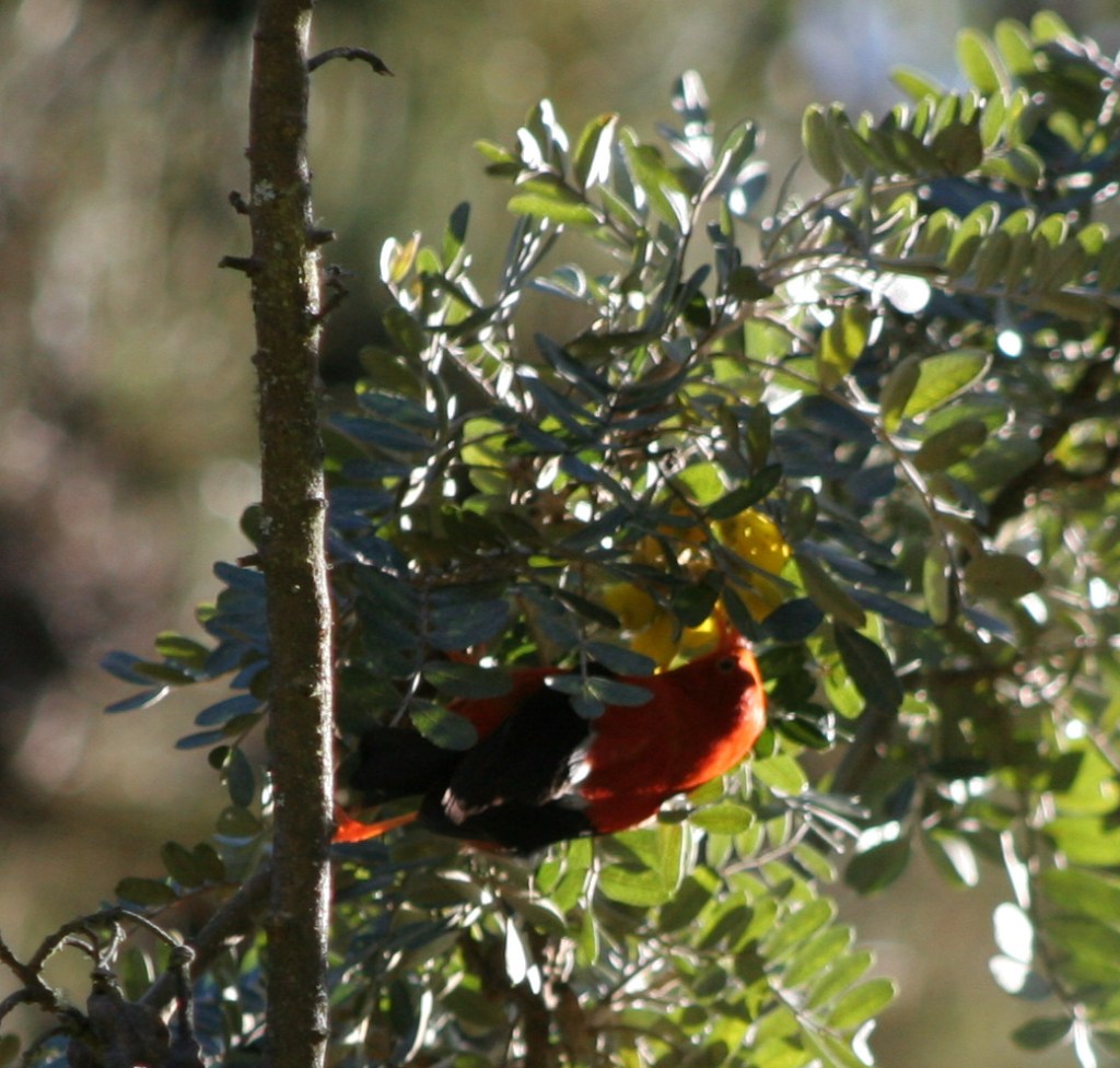
Haleakalā CraterSunsetSunriseTiff at the top of Sliding Sands TrailTiff on the Sliding Sands TrailTiff hiking in Haleakalā CraterLights of Maui from the summitView of the Pacific Ocean from the free campground in the Kīpahulu DistrictWaterfall in the Kīpahulu DistrictOn the Pipiwai Trail to Waimoku Falls400 foot cascades of Waimoku FallsA native bird, the bright red honeycreeper, or i’iwi
This design we created to celebrate Haleakalā National Park is available on a variety of products at Cafe Press.
Explore More – How much annual precipitation does the Kīpahulu District receive (making it one of the wettest places on Earth)?
We are a participant in the Amazon Services LLC Associates Program, an affiliate advertising program designed to provide a means for us to earn fees by linking to Amazon.com and affiliated sites.
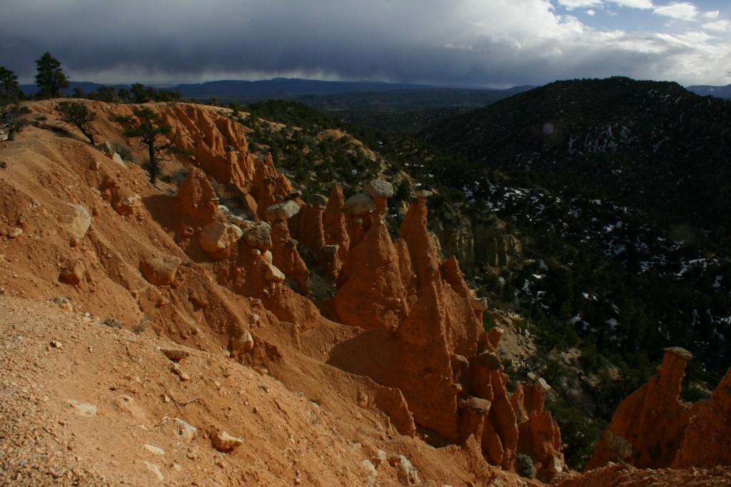
Bryce Canyon is not really a canyon at all, but instead a cliffside amphitheater eroded away into extravagant creamsicle-colored hoodoos. Your first view from Sunrise or Sunset Point will surely take your breath away and not just because you are standing above 7,000 feet in elevation. A portion of the main park road is only open during the busy summer season, but seeing the amphitheater under a fresh carpet of white snow makes the effort worthwhile to get here in the winter. Learn more about the logistics of a winter visit in our first travel guidebook to the National Parks (available on Amazon).
Highlights
Sunrise Point, Sunset Point, Navajo Loop Trail, Queens Garden Trail, Natural Bridge, Rainbow Point
Must-Do Activity
The amphitheater is beautiful from the overlooks, but to really experience this park you have to hike down from the rim. Peakaboo Loop is a strenuous four-mile hike with approximately 1,700 feet cumulative elevation gain that offers up close views of the hoodoos. It is accessed from Sunset Point or Bryce Point. You could easily spend your whole trip in this northern section of the park and not be disappointed, but be sure to take a slow drive south with stops at Natural Bridge and Rainbow Point to complete the experience.
Best Trail
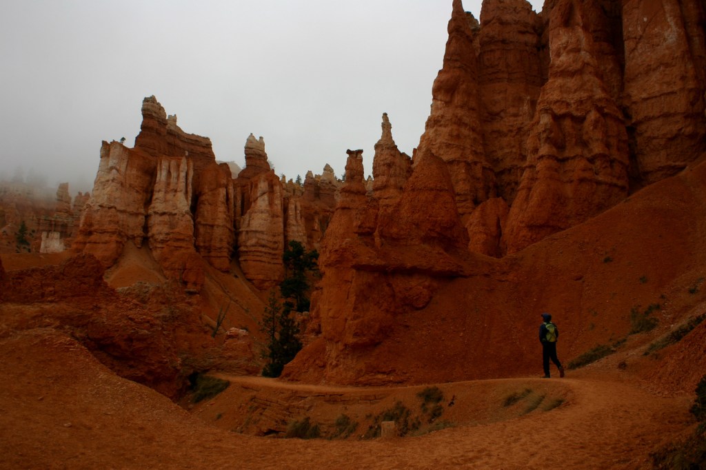
It is four miles out and back on the Under-the-Rim Trail from Bryce Point to the Hat Shop, in the quiet backcountry area where hoodoos are topped with boulders (like they are wearing hats). Ask a park ranger about the “I Hiked the Hoodoos” program to earn a prize.
Instagram-worthy Photo
Douglas-fir trees snake their way to the light in the narrow Wall Street section of the Navajo Loop Trail. A photograph of Tiff walking into a snowy Wall Street made the cover (see below) of our first travel guidebook to the National Parks (available on Amazon).
Peak Season
Summer due to long, snowy winters at this elevation.
The main park road is paved, but there are dirt roads that access the lower elevations of the park, though we have been warned that they are in rough shape.
Camping
The National Park Service has a campground that is open year round, but we prefer camping along the dirt roads in adjacent Dixie National Forest. A free permit is required to camp in Grand Staircase-Escalante National Monument.
This design we created to celebrate Bryce Canyon National Park is available on a variety of products at Cafe Press and Amazon.
Explore More – Who described Bryce Canyon as “a hell of a place to lose a cow?”
We are a participant in the Amazon Services LLC Associates Program, an affiliate advertising program designed to provide a means for us to earn fees by linking to Amazon.com and affiliated sites.
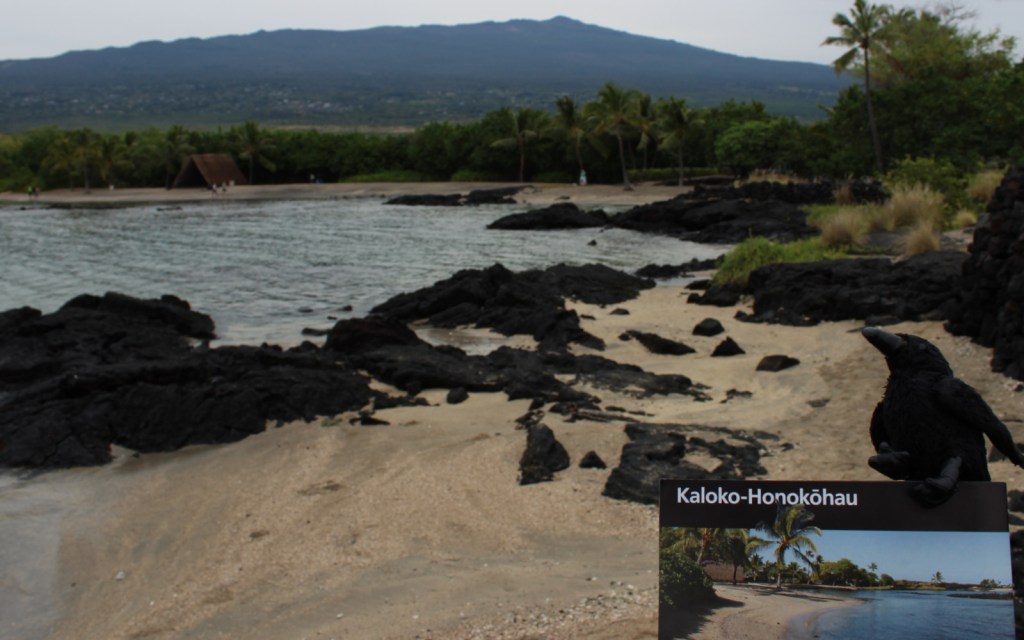
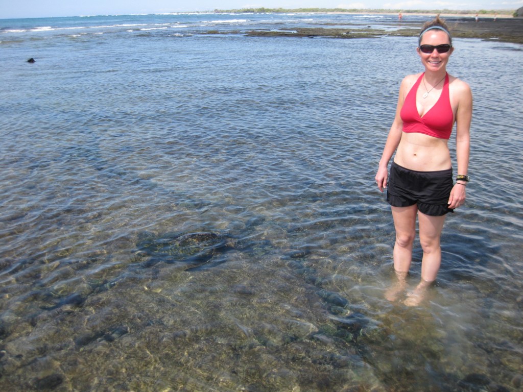
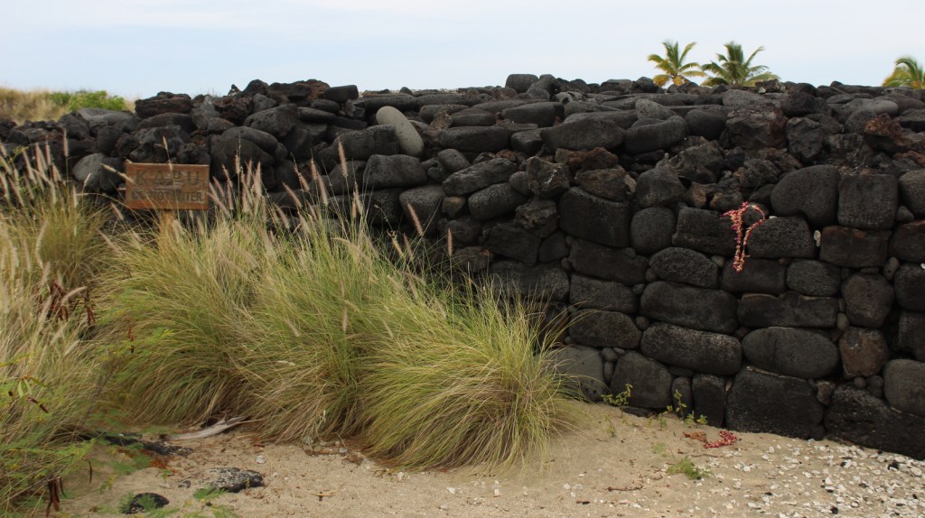
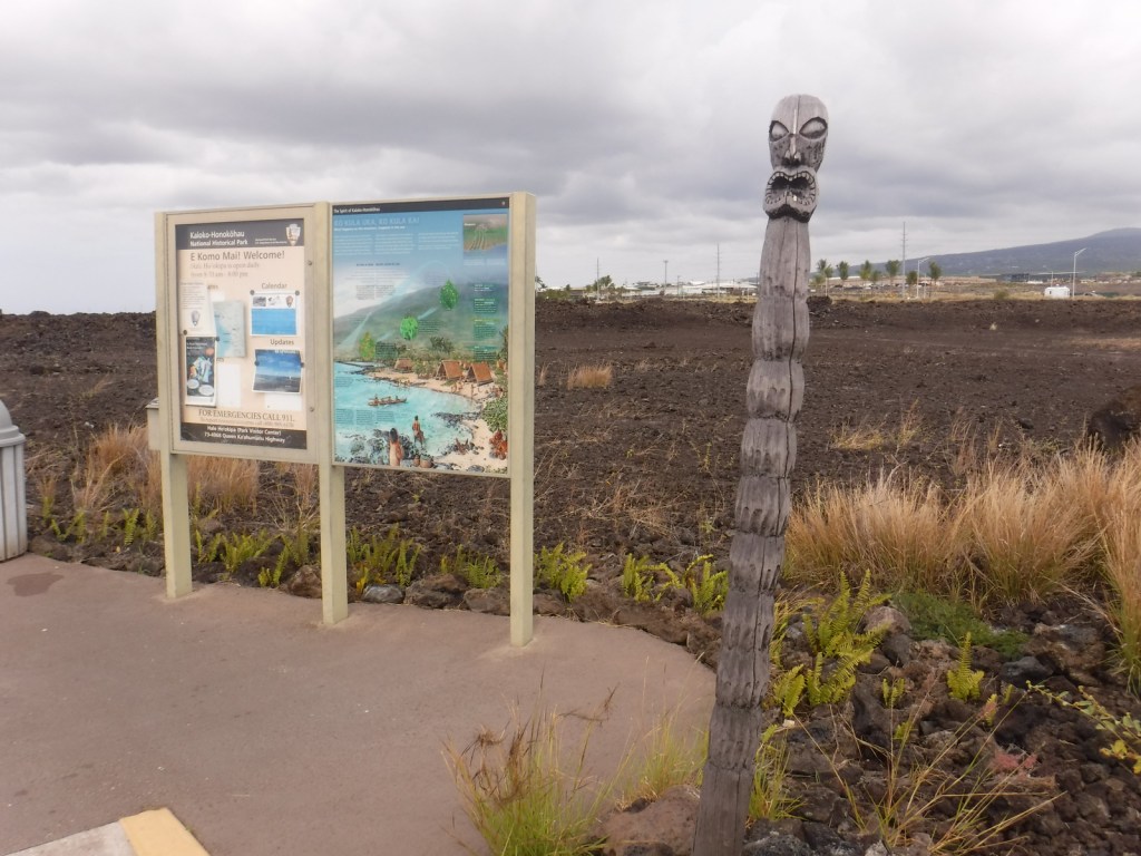
On the west coast of the Big Island of Hawai‘i, Kaloko-Honokōhau National Historical Park was established in 1978, the same year the green sea turtles were federally listed as a threatened species. This park’s current population of 130 long-term resident juvenile turtles is believed to be a direct result of that protection. The honus (green sea turtles) are visible both in the clear ocean water and onshore in haul-outs.
Highlights
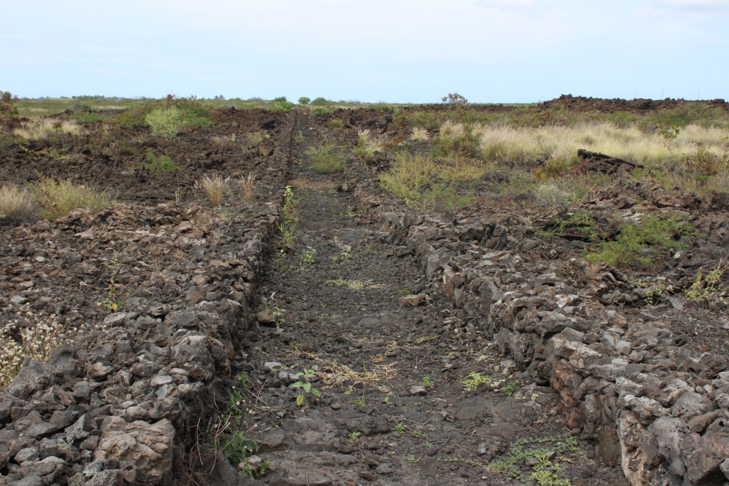
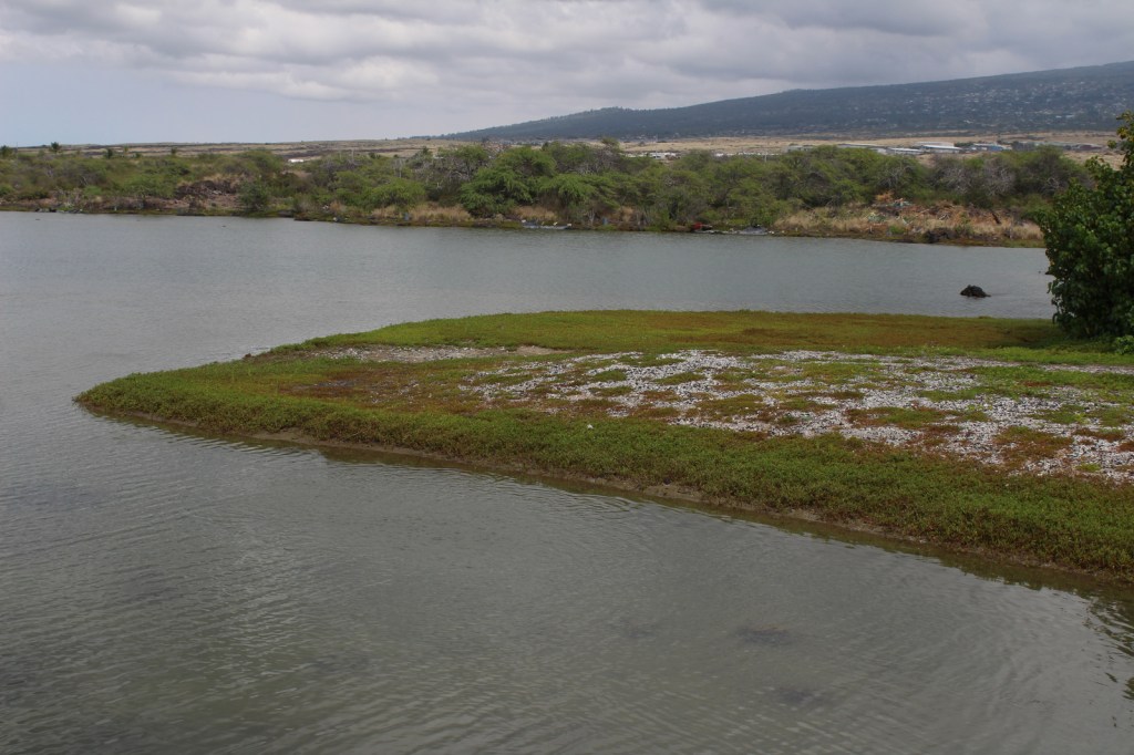
Honokōhau Beach, ‘Ai‘ōpio fishtrap, heiau (temple), Ala Kahakai National Historic Trail, Kaloko fishpond, green sea turtles
Must-Do Activity
Just like wading humans, green sea turtles are attracted to
the shallow, calm waters created by the ‘Ai‘ōpio fishtrap, an artificial reef
built of black lava rock. Some of these
young sea turtles already weigh 140 pounds!
Please refrain from touching or lifting the turtles. Instead, sit in the sun on a white gravelly
beach to watch the methodical paddling of these ancient reptiles on this
undeveloped portion of coast on the largest island in the United States.
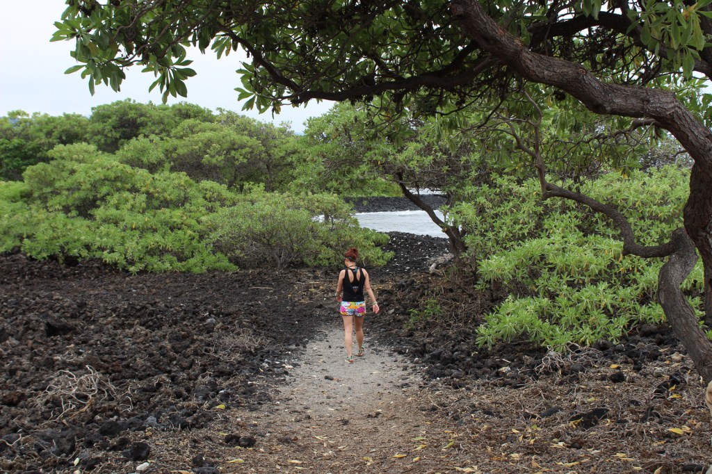
Best Trail
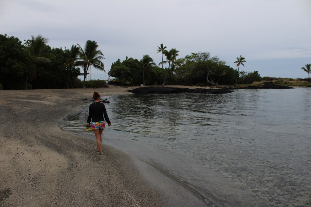
Visitors cannot park at the beach, instead they have to walk
a half-mile one-way, which keeps the numbers down. Two historic trails go to fishponds in this
dry, volcanic landscape.
Instagram-worthy
Photo
At Honokōhau Beach, next to the ‘Ai‘ōpio fishtrap is a reconstructed hālau (long house), a nice spot to take a break in the shade.
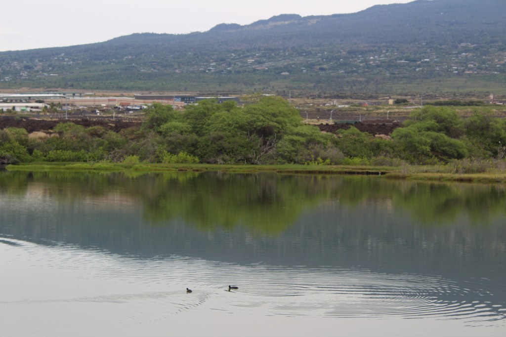
This sea turtle was distinctively adorned with several large barnacles growing on his back. We called him “Barney.” National Park Service visitor centerDriving to Kaloko FishpondKaloko FishpondTiff at Kaloko FishpondKaloko FishpondTiff on the Ala Kahakai National Historic Trail Scott on the Ala Kahakai National Historic Trail ‘Aimakapa Fishpond with Hawaiian cootsTiff on the Ala Kahakai National Historic Trail
Explore More – What
did native Hawaiians use to line their 150-foot long hōlua (stone slide) for
racing toboggan-like sleds?
Start your U.S. National Parks, National Forests, and National Monuments adventure here!