Overview
At 20,320 feet above-sea-level, Denali is the highest point in North America. It is also the tallest mountain on Earth measured from base to summit. Mt. Everest starts from a 13,000-foot plateau, while Denali’s base is only 700 feet. The park is also home to an incredibly diverse array of wildlife, including our favorite, the hoary marmot.

Highlights
Denali peak, Sled Dog Demonstration, Mt. Healy Overlook Trail, wildlife
Must-Do Activity
The summit of Denali is only visible 10% of the summer, so flightseeing is the most successful option to the see the peak. While in the park, it is better to focus on the wildlife, so bring a good camera with a zoom lens for moose, caribou, Dall sheep, gray wolves, and brown bears. Your best chance to see wildlife is to buy a shuttle bus ticket online or at the Wilderness Access Center. We recommend you only take the eight hour roundtrip to Eielson Visitor Center (Mile 66) and spend some time hiking the tundra, instead of going all the way to Wonder Lake (Mile 85).
Best Trail
Most of the park is managed as wilderness so there are no trails, but around the park entrance there are a few. We recommend climbing as high on the steep trail up Mt. Healy as you can for unsurpassed views of the mountainous area.
Instagram-worthy Photo
Even if the summit of Denali is hidden, the tundra scenery here is incredibly colorful, especially around the bus stop for Polychrome Overlook (Mile 47).

Peak Season
Summer
Hours
https://www.nps.gov/dena/planyourvisit/hours.htm
Fees
There is no admission fee; however, visitors can only get past Mile 15 of the Park Road on a tour bus or with campground or backcountry reservations.
Road Conditions
The Park Road is paved to the Mile 15 Savage River Check Station, past which personal vehicles are not allowed. The dirt road is groomed, but it can get bumpy in the back of the bus.
Camping
Riley Creek Campground is open year round, a rarity in Alaska. A reservation at Teklanika River Campground allows you to drive your own vehicle to Mile 29 partway into the park.
Scott at Eielson Visitor Center in September 2004 
Dall sheep 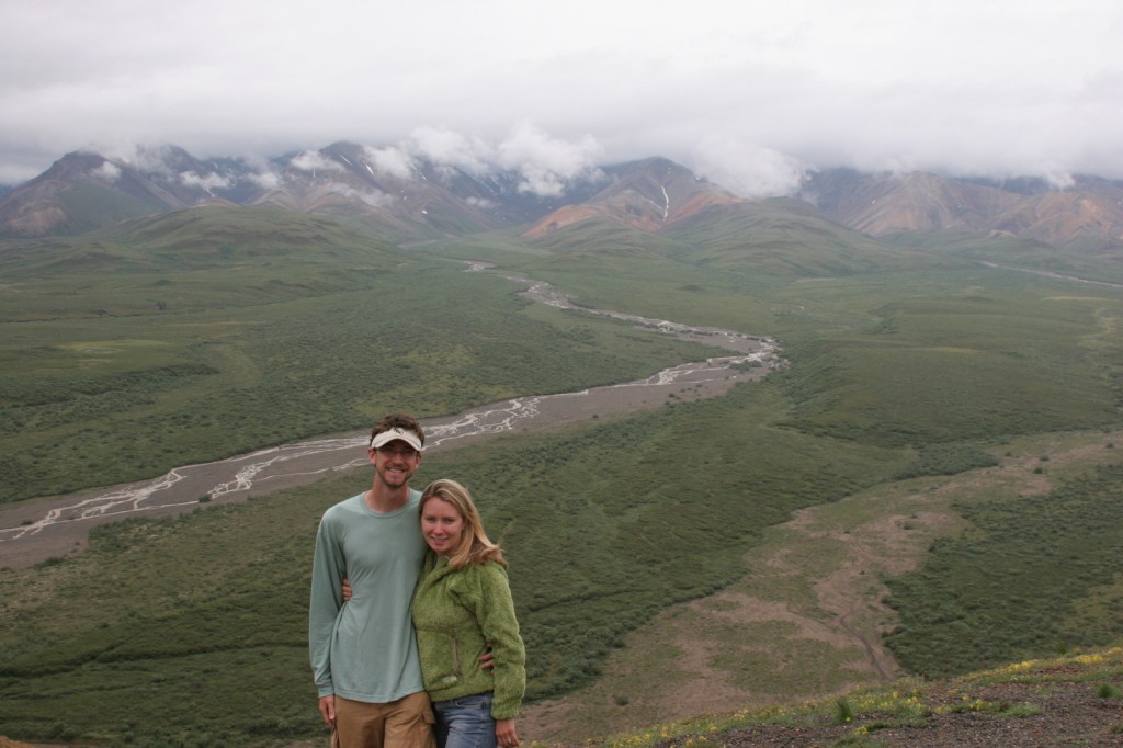
Scott and Tiff at Polychrome Overlook in July 2007 
Caribou 
Tiff on the Savage River Trail 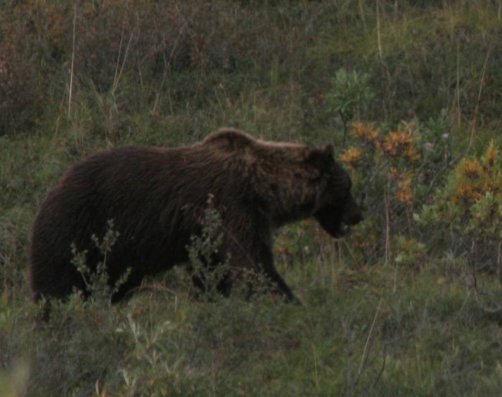
Grizzly or brown bear 
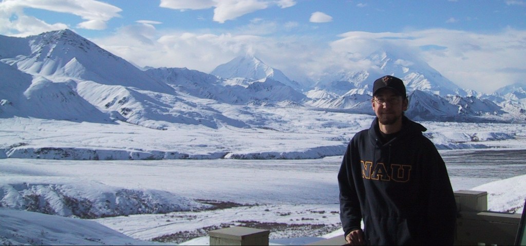
Scott on our March 2015 visit 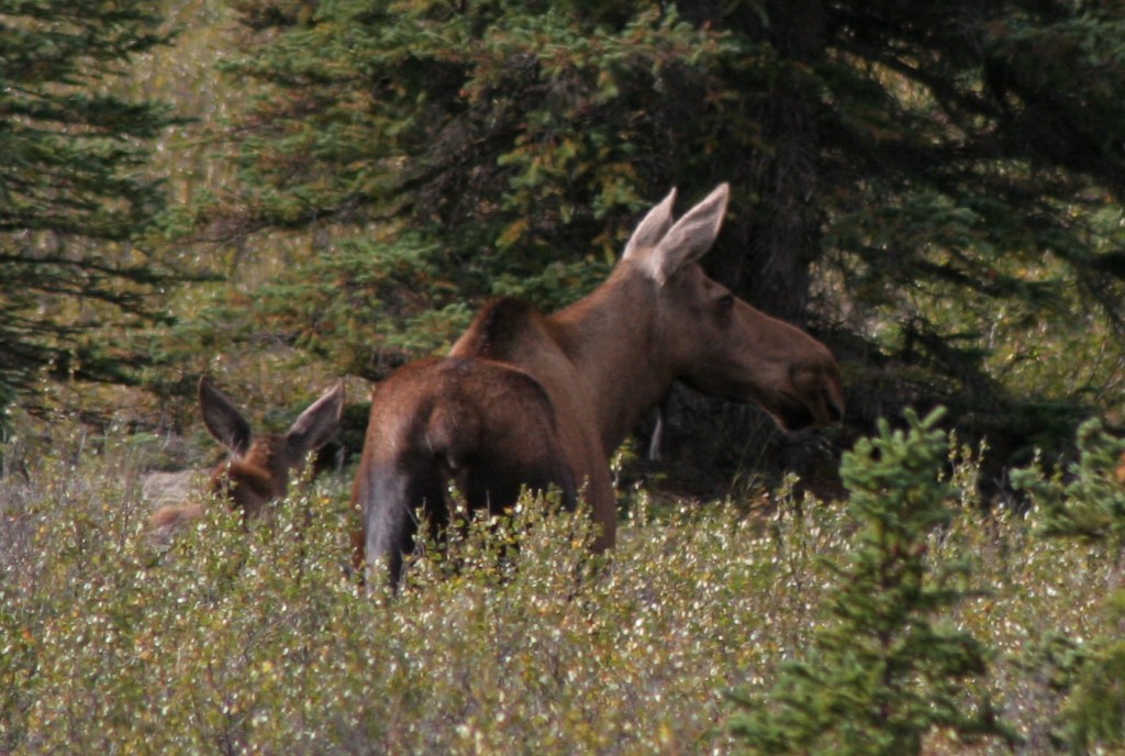
Moose cow and calf 
Hoary marmot

This design we created to celebrate Denali National Park is available on a variety of products at Cafe Press and Amazon.

Explore More – How many earthquakes are recorded annually in Denali National Park and Preserve?

We are a participant in the Amazon Services LLC Associates Program, an affiliate advertising program designed to provide a means for us to earn fees by linking to Amazon.com and affiliated sites.