Most of the 63 National Parks in snowy areas close their roads over the winter, but this allows for a variety of different recreation opportunities, including snowshoeing, cross-country skiing, snowmobiling, dog sledding, and snow biking. There are several National Parks that are actually best to visit in winter to avoid the heat (like Everglades and Saguaro), but this ranking focuses on those where snow adds to the experience. Click here to see all of our Top 10 Lists.
Know someone who loves National Parks? Gift them our travel guidebook A Park to Yourself: Finding Solitude in America’s 63 National Parks.
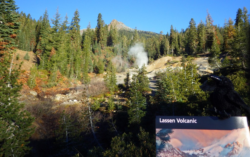
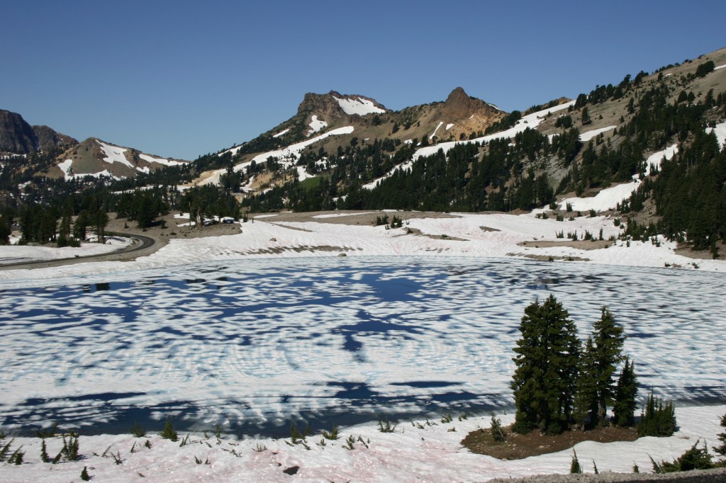
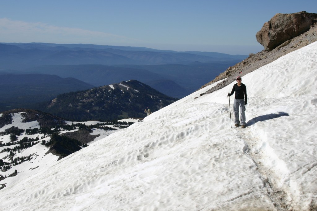
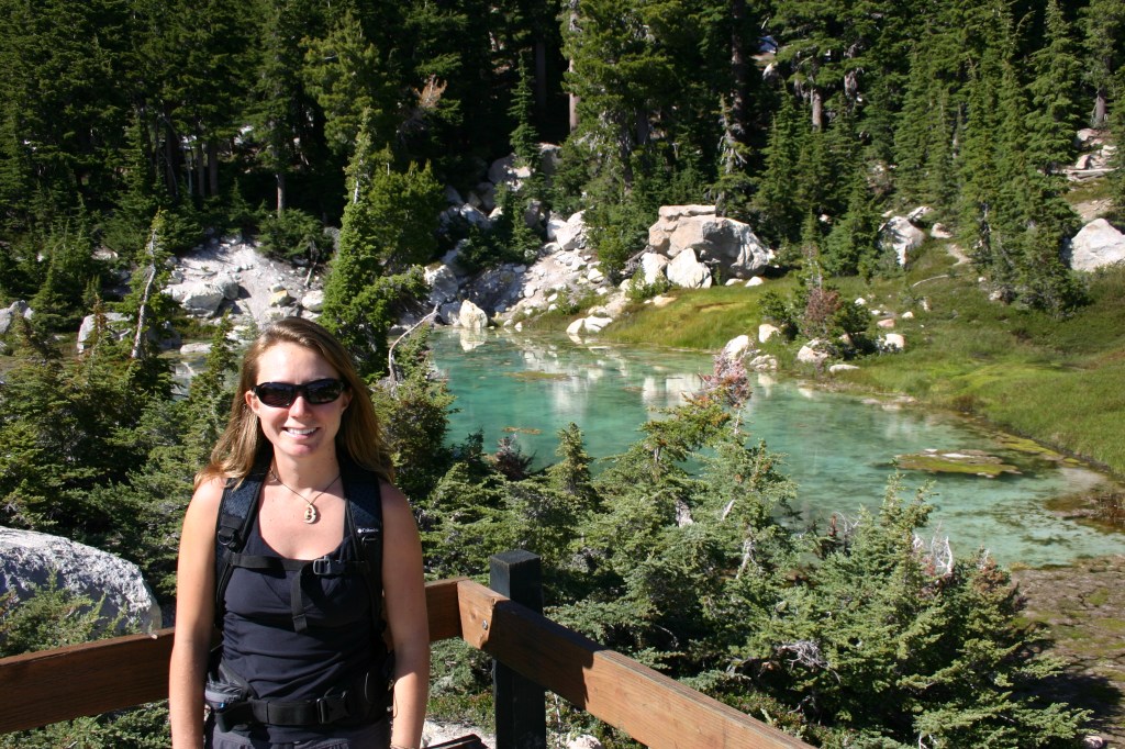
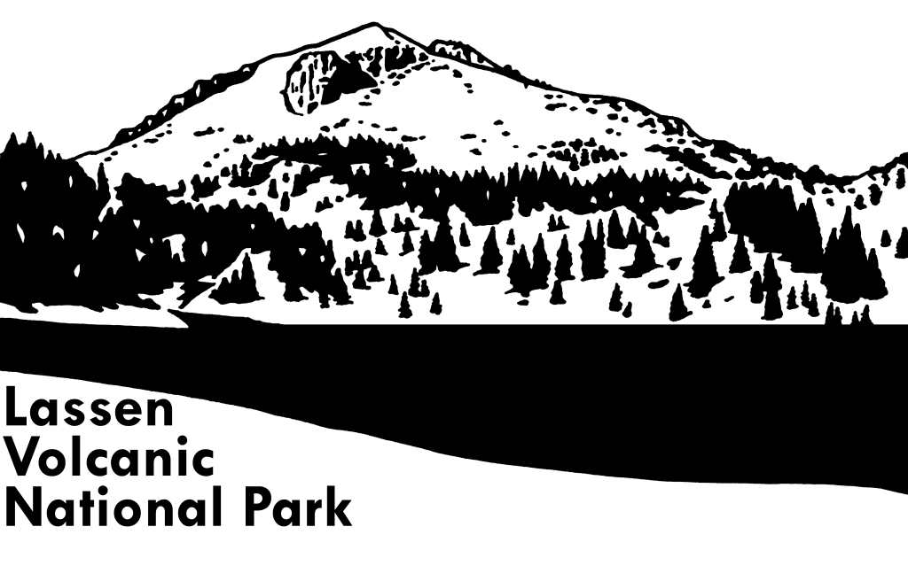
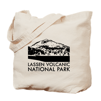
10. Lassen Volcanic (California)
Winter lasts so long in this park, you might find you need snowshoes in July
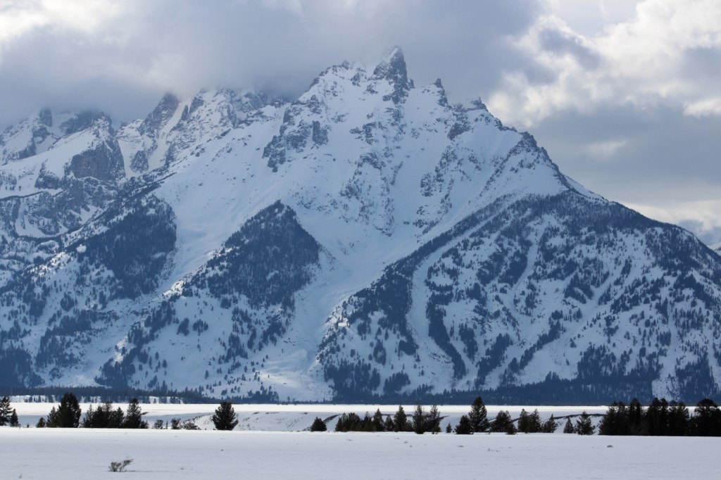
9. Grand Teton (Wyoming)
When the park roads close, they become cross-country skiing and moose traveling routes
8. Mount Rainier (Washington)
Plows make sure the popular snow play area at Paradise is always accessible

7. Bryce Canyon (Utah)
It snows often at 7,000 feet in elevation, making the hoodoo formations even more beautiful
6. Denali (Alaska)
Dog sledding is how the National Park Service (NPS) rangers get around during the long winter
5. Voyageurs (Minnesota)
Ice fishing is such a draw when these lakes freeze over that the NPS even maintains an ice road

4. Rocky Mountain (Colorado)
It is possible that the trailhead at Bear Lake is actually busier in the winter (also try the Wild Basin area)

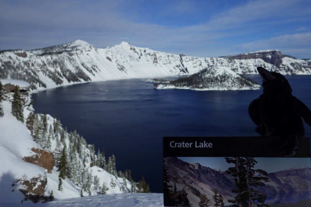
3. Crater Lake (Oregon)
The lake is never prettier than when surrounded by snow and the entry road is plowed year round
2. Sequoia (California)
The orange bark of giant sequoia seems to glow when surrounded by snow
…and finally the #1 National Park Service site for winter recreation:

1. Yellowstone (Wyoming-Montana-Idaho)
Take a snow coach or snowmobile to the Winter Lodge at Old Faithful for a “bucket-list” experience
Honorable Mentions
Acadia (Maine)
The park’s 45 miles of carriage roads are ideal cross-country ski routes
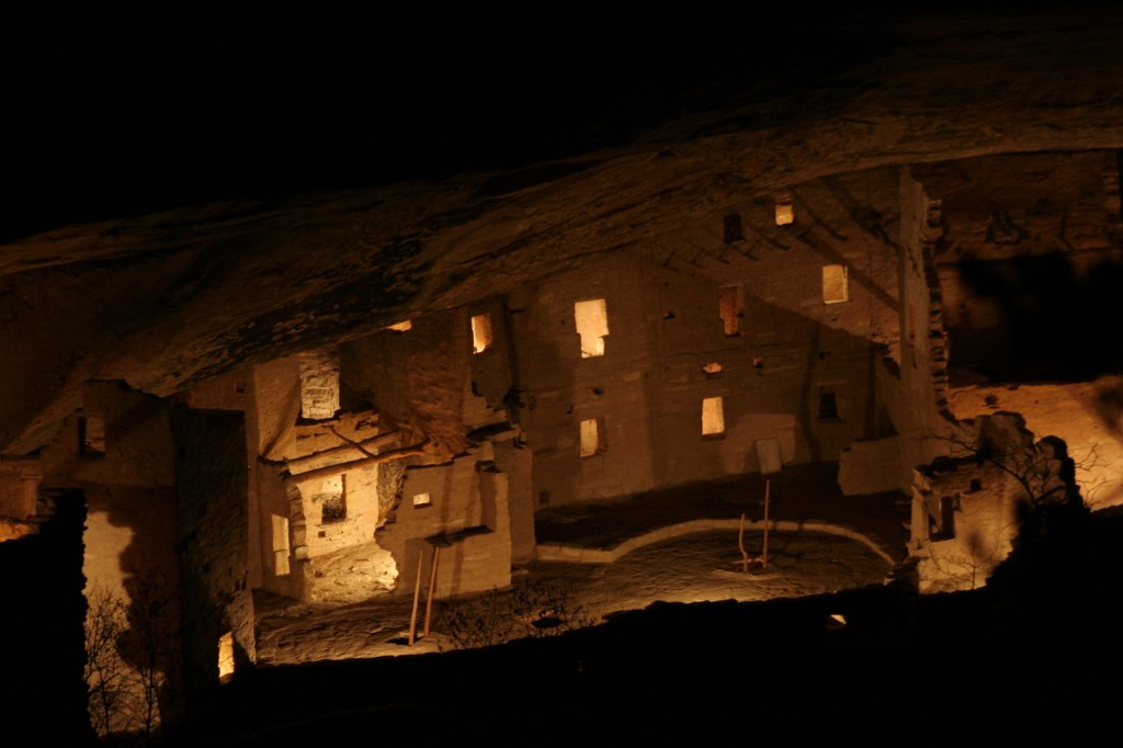
Mesa Verde (Colorado)
Tours end in the winter, but we included it specifically for the one night in December when the NPS lights luminaries in the ruins
Kenai Fjords (Alaska)
There is a public use cabin located down the road to Exit Glacier open to snowmobilers by reservation

Badlands (South Dakota)
Nothing in this park really closes in the winter, but we think the formations are even prettier in snow

Know someone who loves National Parks? Gift them our travel guidebook A Park to Yourself: Finding Solitude in America’s 63 National Parks.