Mill Springs Battlefield National Monument
Kentucky
Managed by National Park Service
Established 2019
1,459 acres
Website: nps.gov/misp
Overview
During the Civil War, the Battle of Mill Springs started on January 19, 1862 in the Union state of Kentucky (where slavery was still legal). North of the Cumberland River, a surprise attack by the Confederate Army was repelled and celebrated as the first decisive Union victory in the western theater. The battlefield was declared a National Historic Landmark in 1993 and acquired by the National Park Service (NPS) in 2020.
Learn more about the other 137 National Monuments in our book Monumental America: Your Guide to All 138 National Monuments. It is now available for sale on Amazon.com.
Highlights
Museum, film, Mill Springs National Cemetery, Zollicoffer Park, Brown-Lanier House, Mill Springs Mill, Lake Cumberland
Must-Do Activity
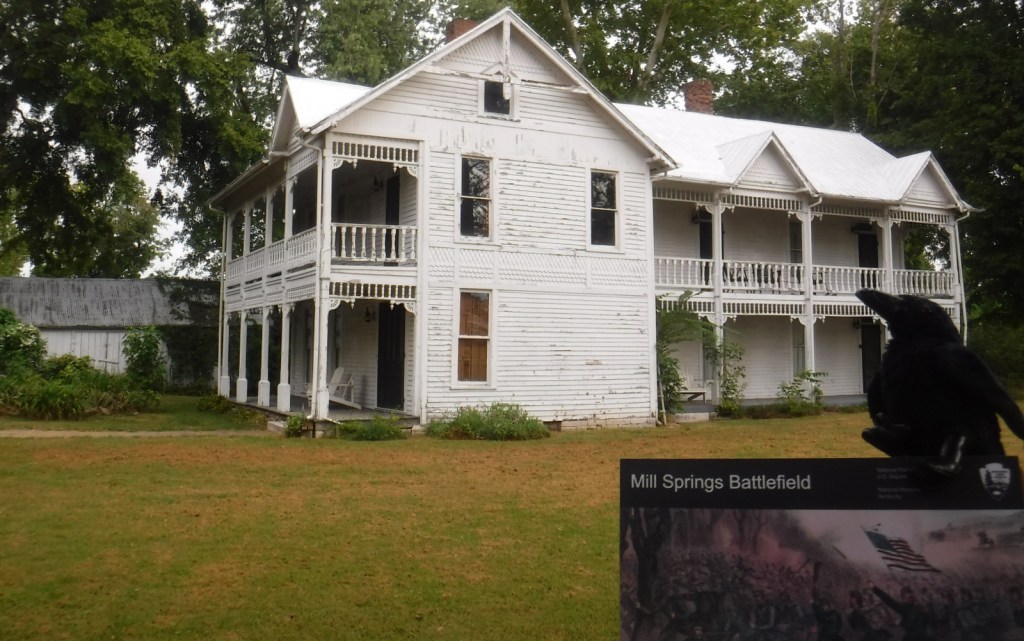
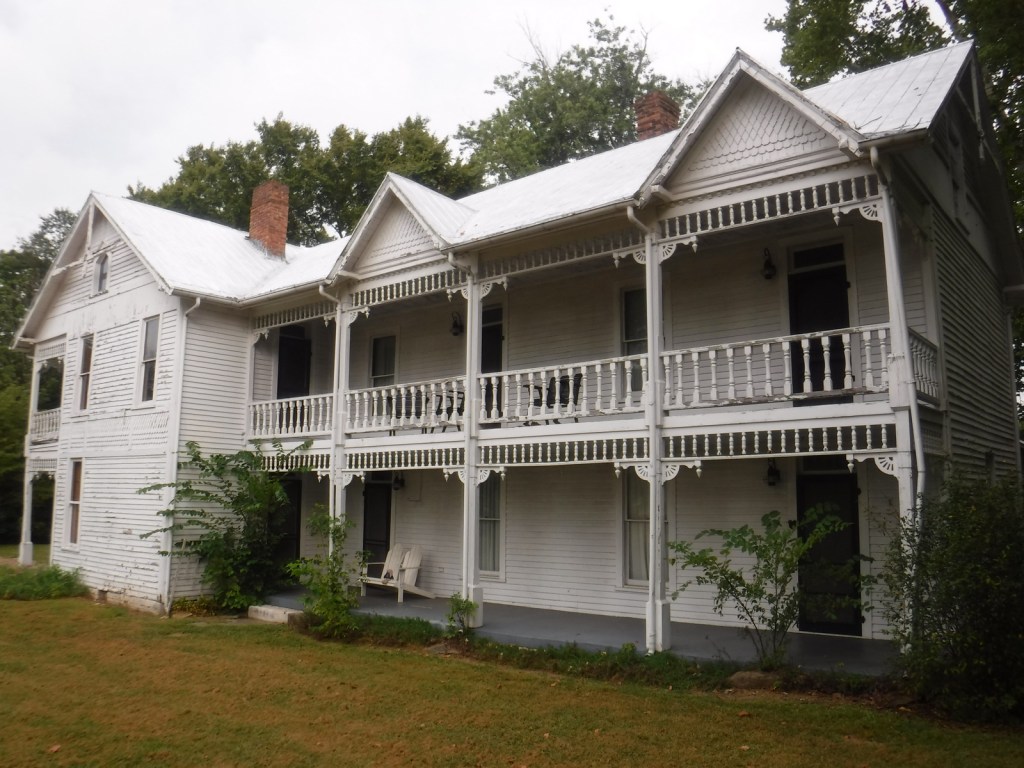
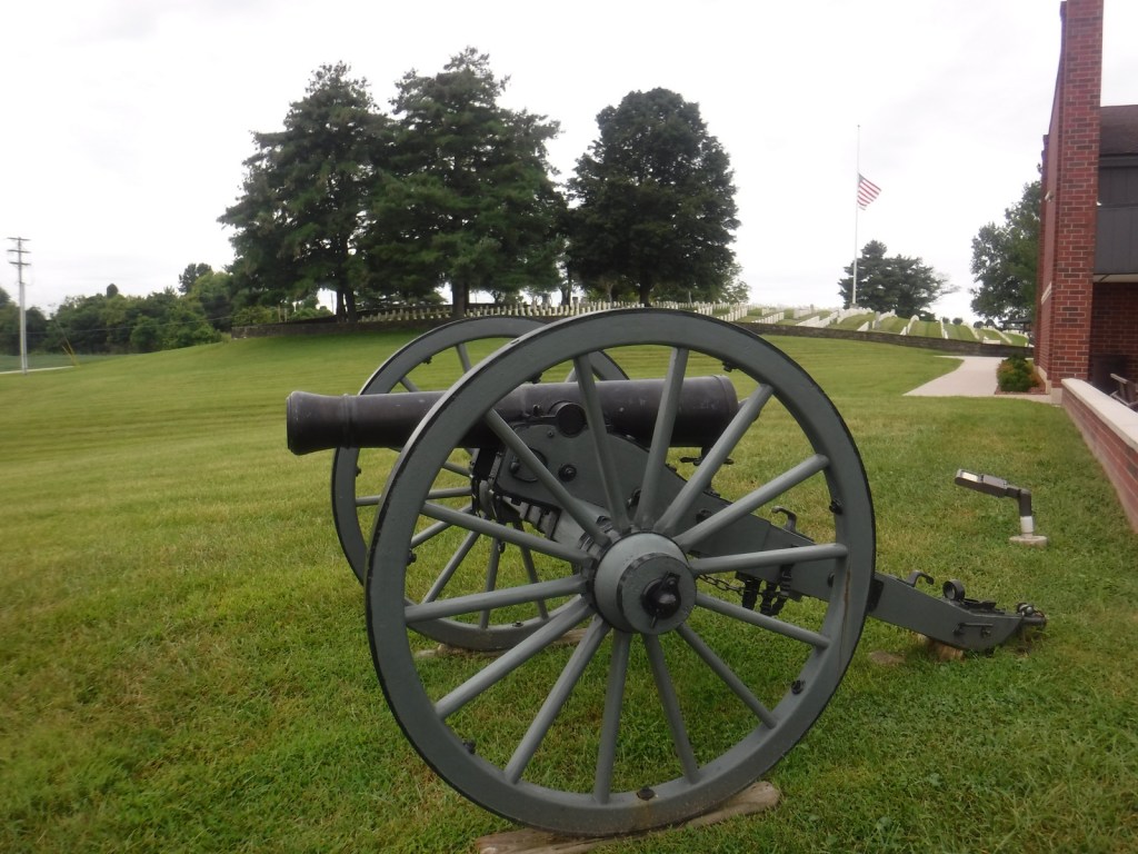
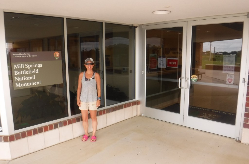
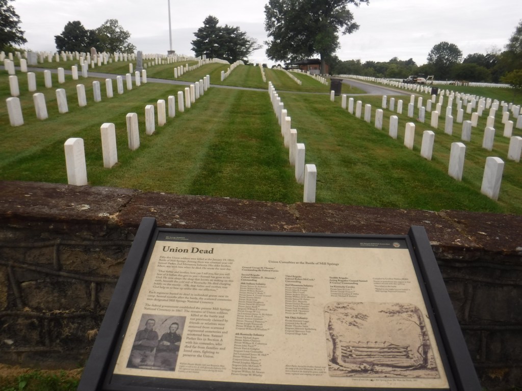
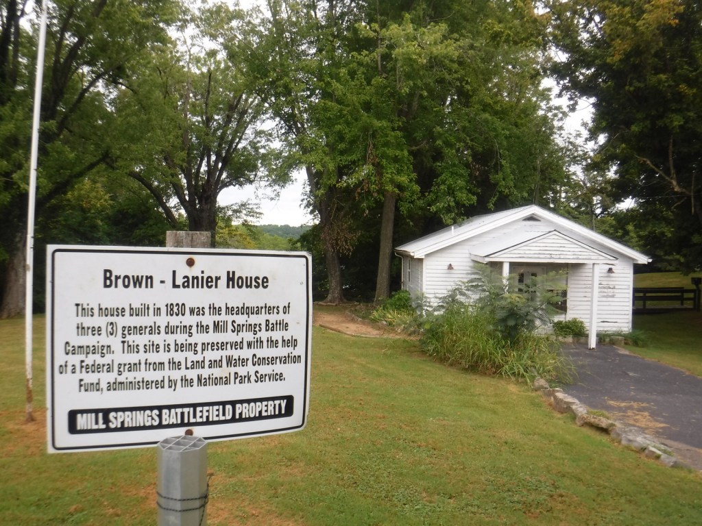
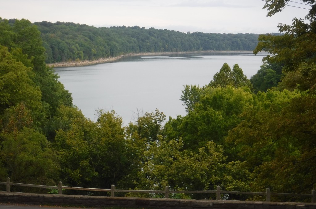
Start your visit by watching the film at the NPS visitor center next to Mill Springs National Cemetery, opened in 1867 as one of 12 original National Cemeteries. The driving tour starts from there south down Kentucky Highway 235 to Zollicoffer Park where there are markers for Confederate General Felix K. Zollicoffer (buried beneath the “Zollie Tree”) and a Confederate mass grave. There are six more stops on the driving tour north of Lake Cumberland, but there is no bridge across the reservoir, so to reach the final two stops requires backtracking and connecting to Kentucky Highway 1275. There you will reach the Brown-Lanier House at Mill Springs that was utilized by both sides of the battle. Open seasonally to the public, the working grist mill on Lake Cumberland dates to 1877 and is managed by the Army Corps of Engineers. The final tour stop is at the West-Metcalfe House that served as a Confederate headquarters and hospital, but is not currently open.
Best Trail
A 0.75-mile walking trail in Zollicoffer Park goes down into a ravine that was behind the Confederate lines, as explained by interpretive signs there. You can also walk to the edge of Lake Cumberland at Ferry Landing on the north shore and Mill Springs Mill on the south shore.
Photographic Opportunity
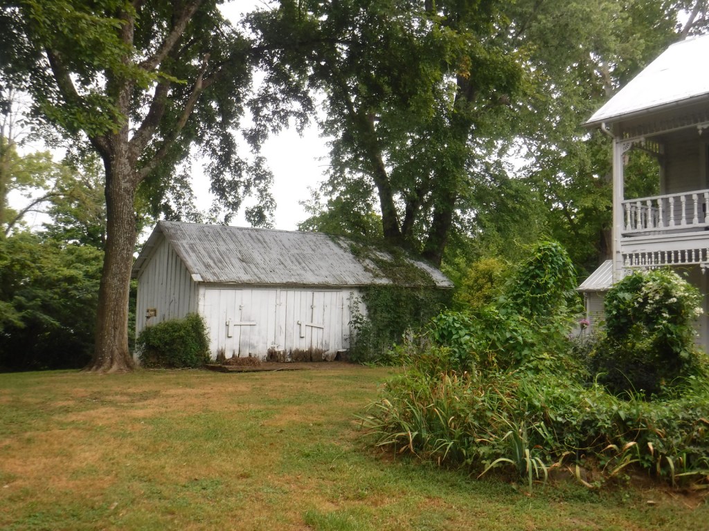
Built in 1860, the Brown-Lanier House offers guided tours inside the house that was twice hit by artillery during the Battle of Mill Springs.
Peak Season
Summer
Hours
https://www.nps.gov/misp/planyourvisit/hours.htm
Fees
Tours of the Brown-Lanier House now seem to be free and offered by NPS rangers every other Saturday in the summer.
Road Conditions
All roads are paved, but be careful while driving onto small pullouts along the highways.
Camping
There are campgrounds along Lake Cumberland and further north at Mammoth Cave National Park.
Related Sites
Camp Nelson National Monument (Kentucky)
Shiloh National Military Park (Tennessee-Mississippi)
Fort Donelson National Battlefield (Tennessee-Kentucky)


Explore More – What other two names has the Battle of Mill Springs been called?

Learn more about the other 137 National Monuments in our book Monumental America: Your Guide to All 138 National Monuments