Beaverhead National Forest
Montana
Managed by U.S. Forest Service, Northern Region
2,199,013 acres (2,130,671 federal/ 68,342 other)
Website: https://www.fs.usda.gov/bdnf
Overview
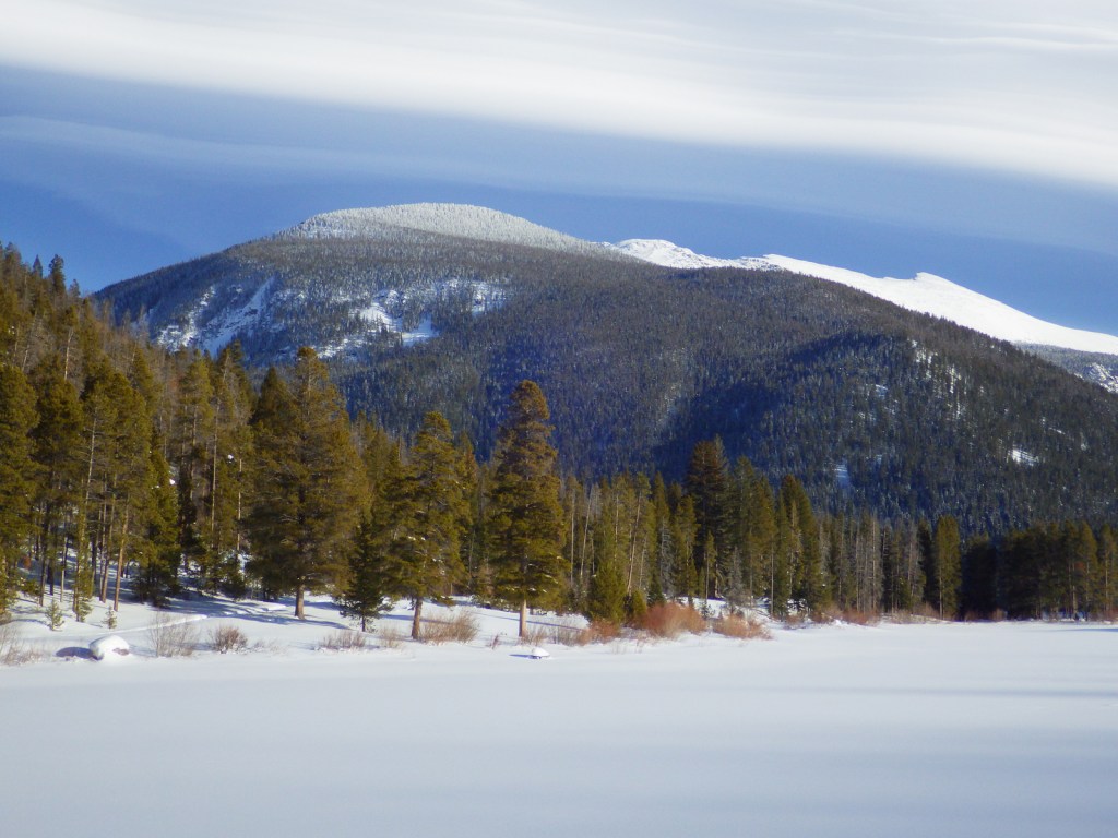
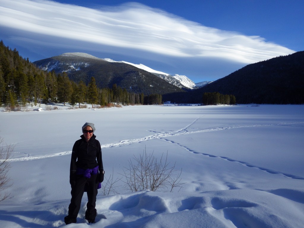
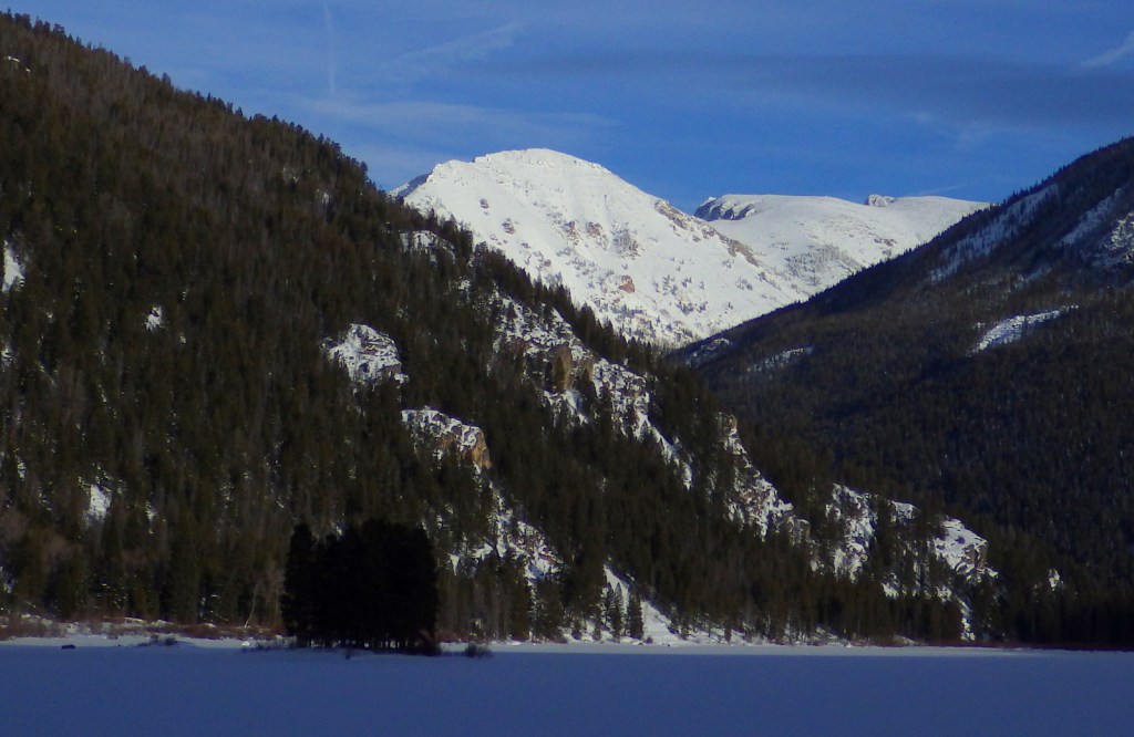
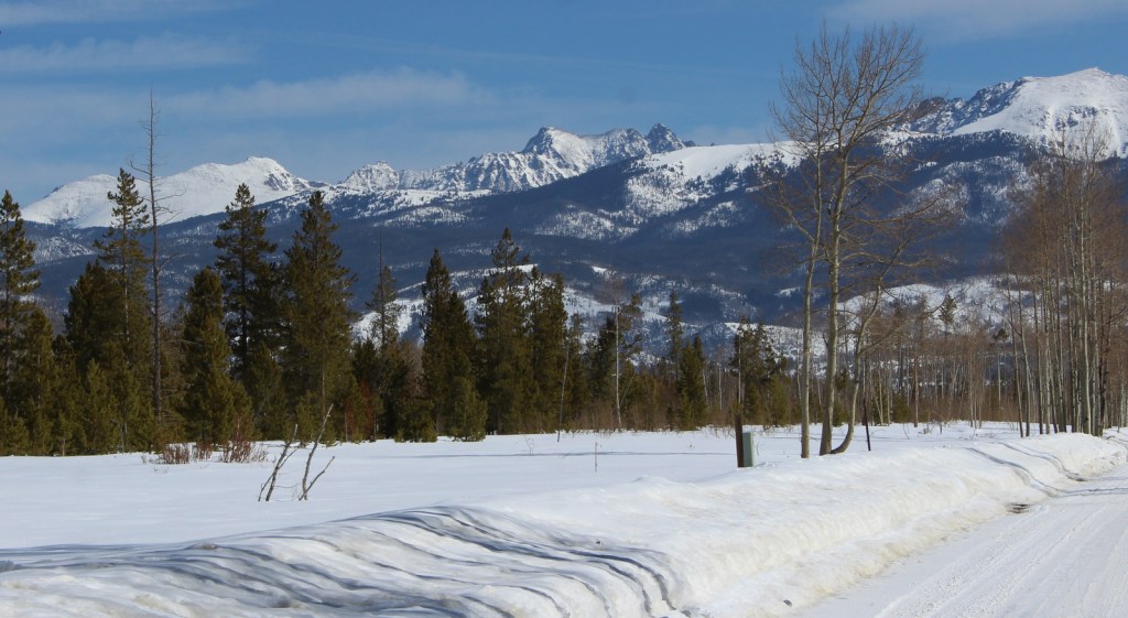
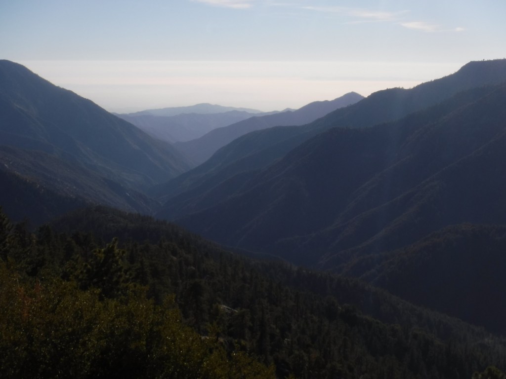
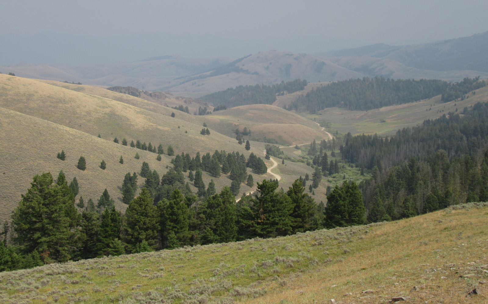
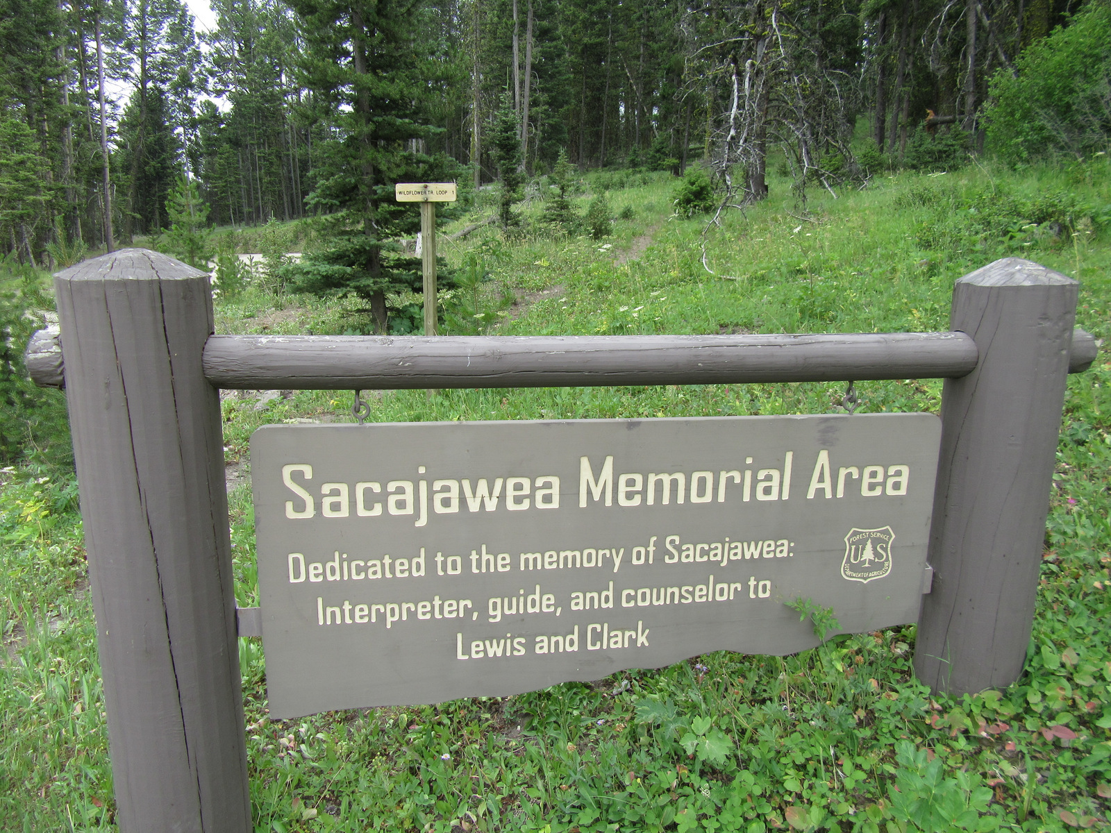
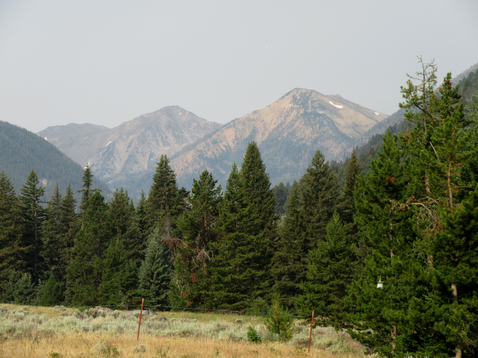
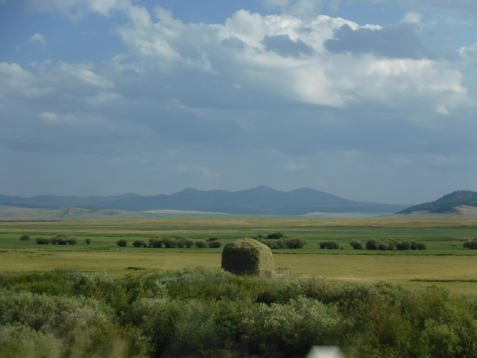
Co-managed since 1996, Beaverhead-Deerlodge National Forest is spread across multiple mountain ranges in the southwest corner of Montana. The dividing boundaries between the two forests are unclear, though Beaverhead National Forest tends to be more southeast than Deerlodge National Forest and includes portions of the Beaverhead, Bitterroot, Centennial, Gravelly, Madison, Pioneer, Tendoy, and Tobacco Root Mountains. Bordering Idaho’s Salmon National Forest, 7,323-foot Lemhi Pass is located on the Lewis and Clark National Historic Trail. This is where the Corps of Discovery crossed the Continental Divide in 1805 and is why the Sacajawea Memorial Area was established here in 1932.

Highlights
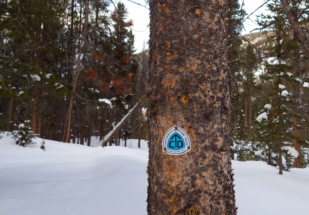
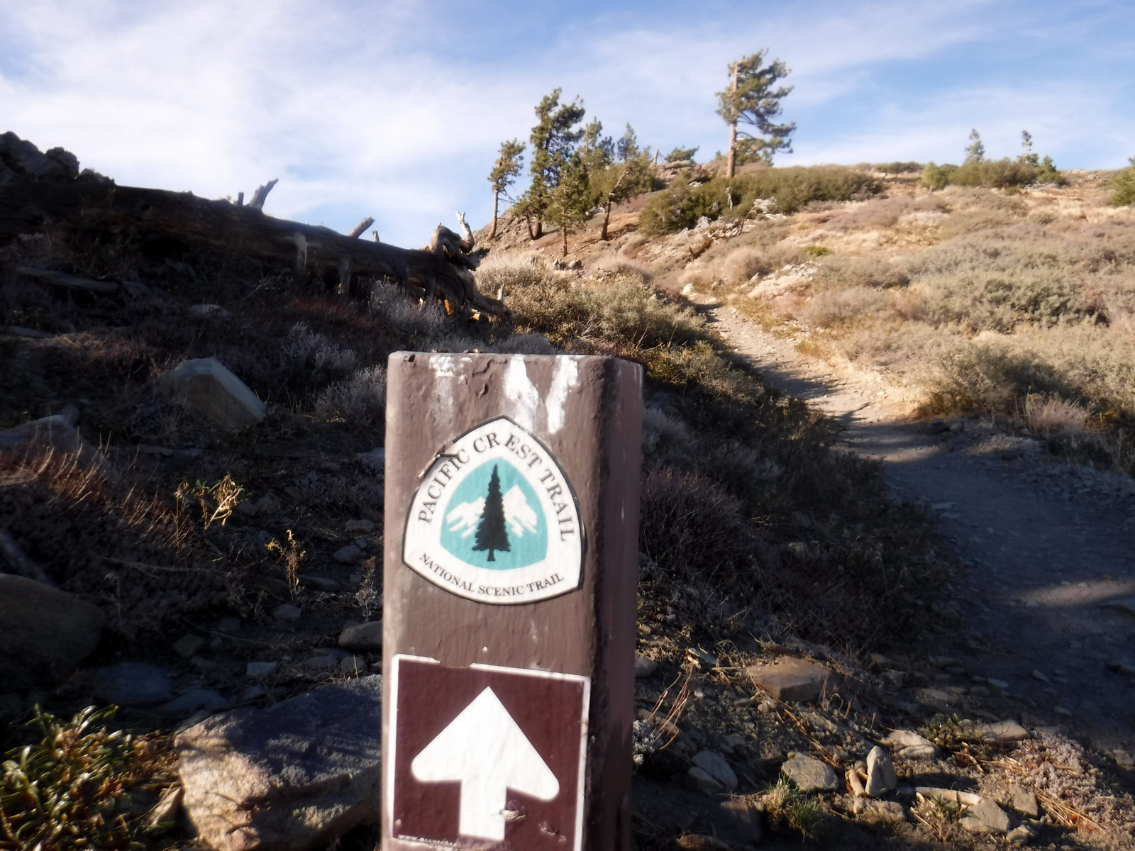
Pioneer Mountains Scenic Byway, Lemhi Pass, Sacajawea Memorial, Chief Joseph Pass, Pintler Falls, Upper Potosi Hot Springs, Charcoal Kilns, Gravelly Range Auto Tour, Nez Perce National Historic Trail, Continental Divide National Scenic Trail
Must-Do Activity
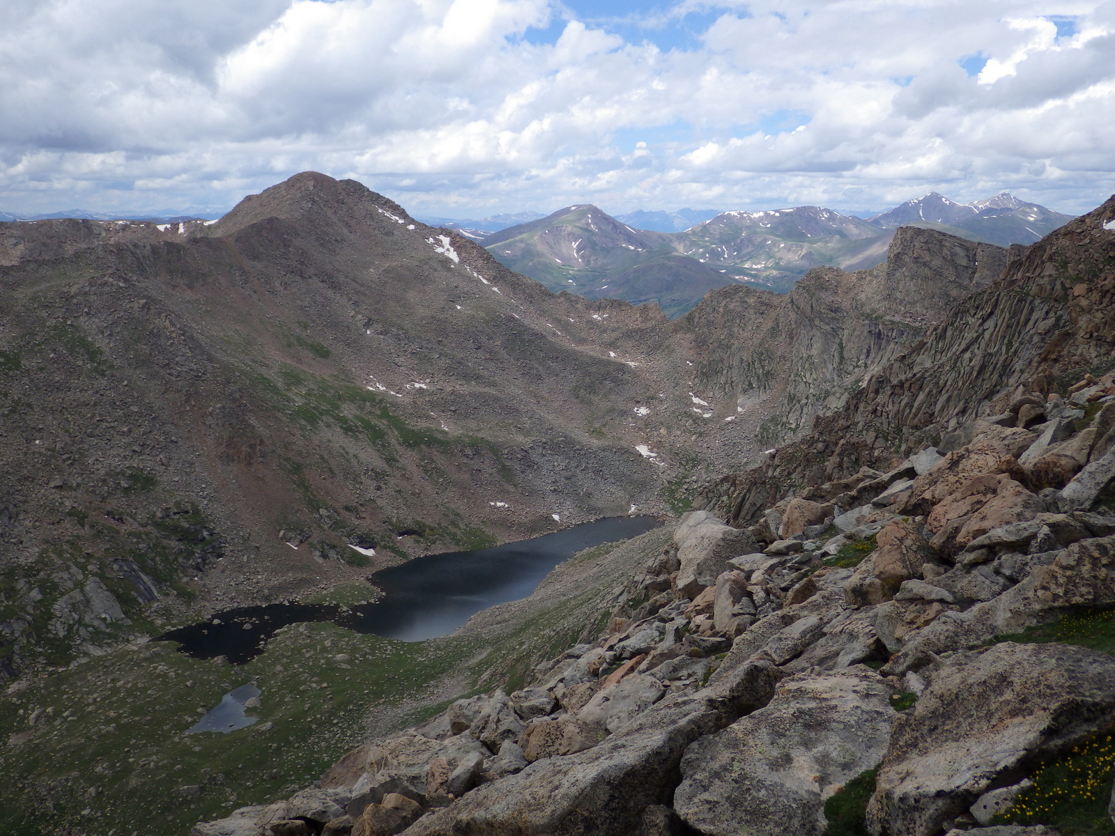
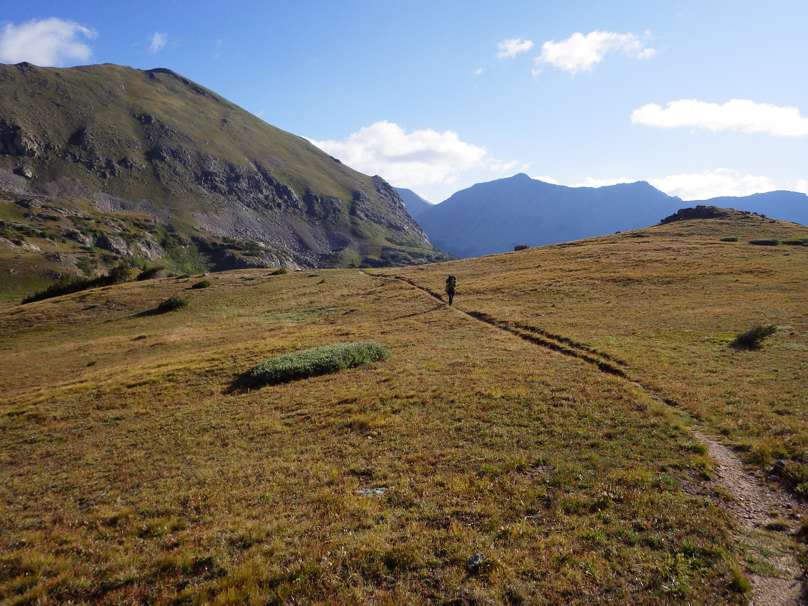
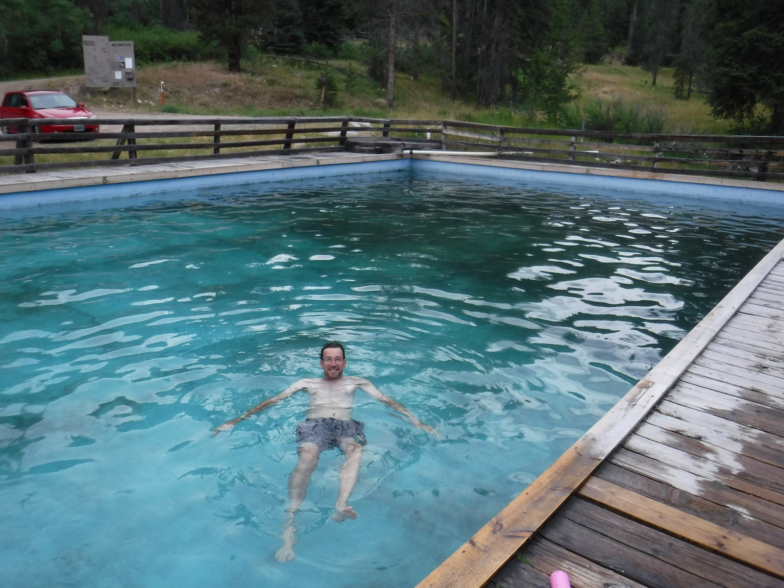
It is about a 17-mile drive from Harrison, Montana back to the free Potosi Campground, but it is well signed and worth the effort. From here a 0.8-mile trail leads to Upper Potosi Hot Springs, a clear 100°F pool with room for about six adults. Further west, about ten miles north of Highway 278, is the privately owned Elkhorn Hot Springs (fee), a great place to relax after hiking around Big Hole National Battlefield (managed by the National Park Service). If you keep driving north on Wise River Polaris Road (FR 484), there are plenty of dispersed campsites and trailheads for several long hikes into the Pioneer Mountains.
Best Trail
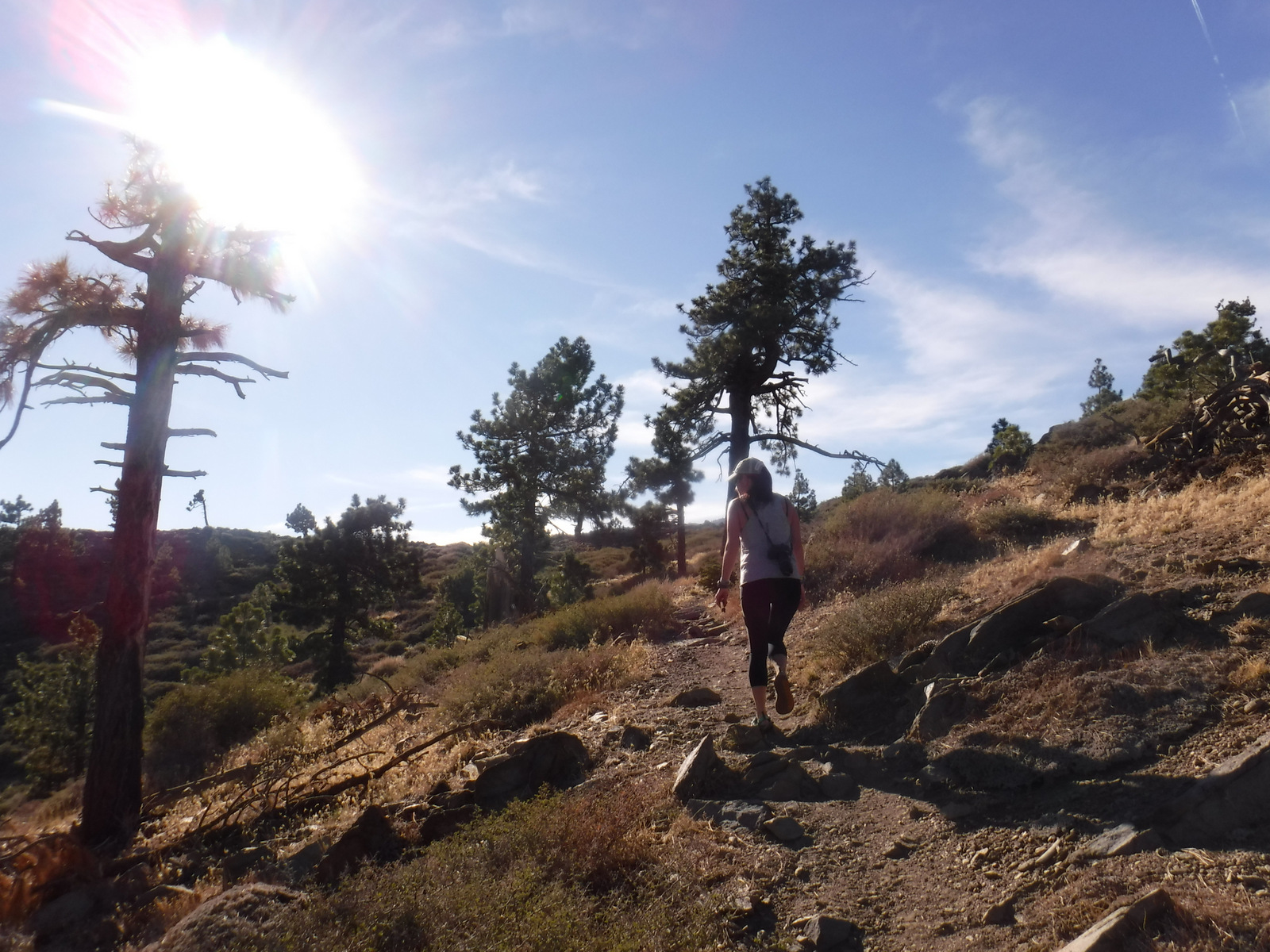
We only hiked less than a mile trail to Upper Potosi Hot Springs, but that trail keeps climbing three miles to the top of the ridge. We read good reviews for Louise Lake National Recreation Trail (see note on Road Conditions below), Pioneer Lake National Recreation Trail, Browns Lake Trail, Blue Creek Trail, Sand Lake/Lily Lake Trail, and Gold Butte Trail. Hopefully we will make it back here to go backpacking someday.
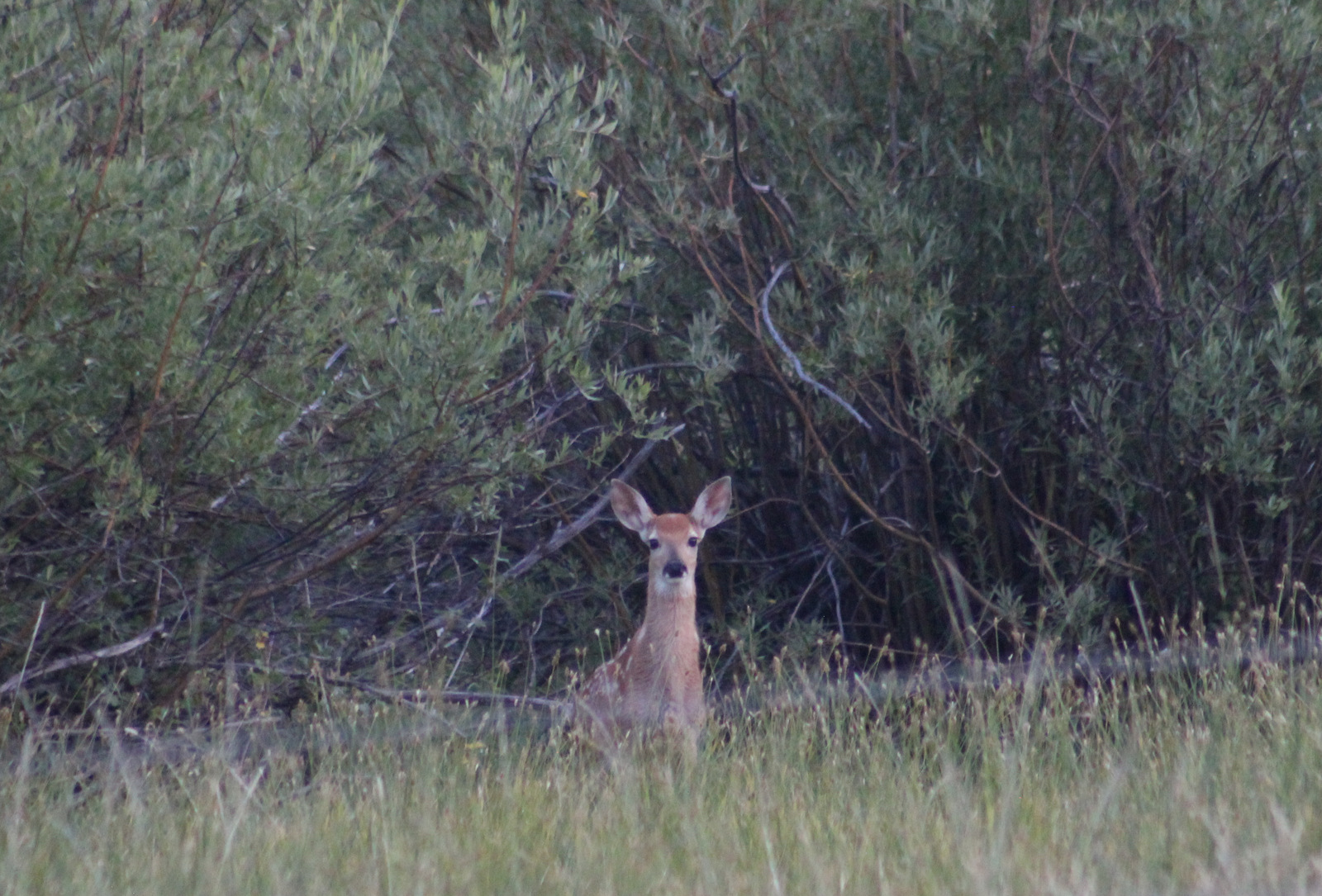
Watchable Wildlife
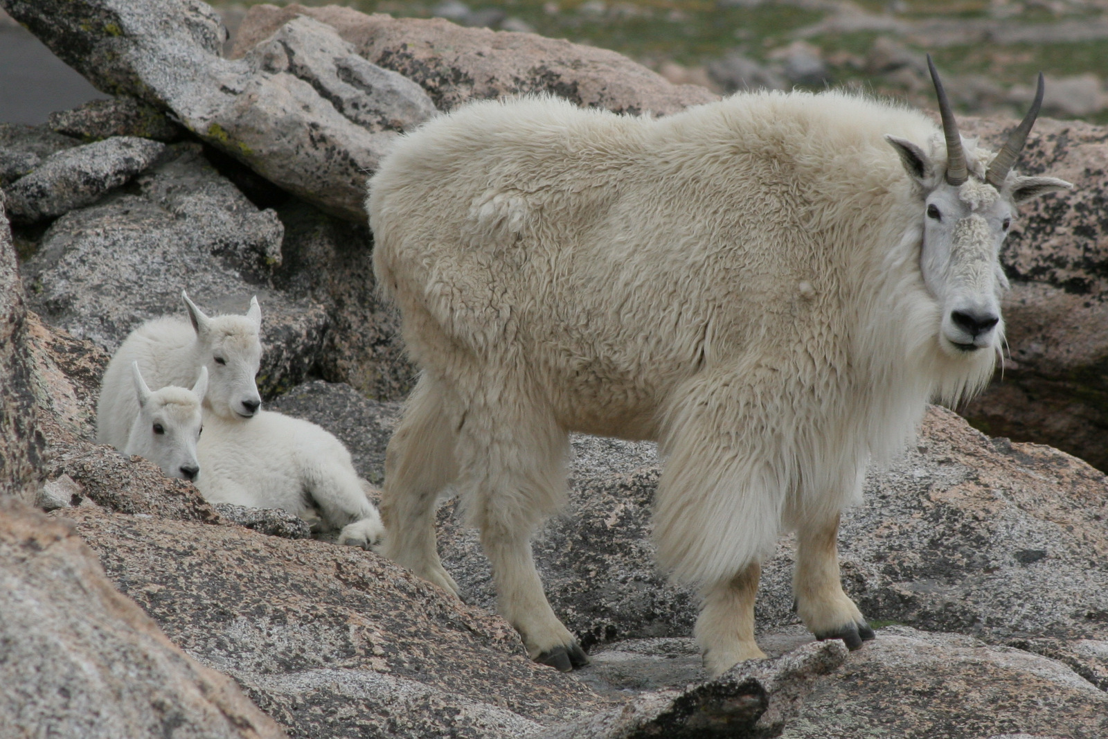
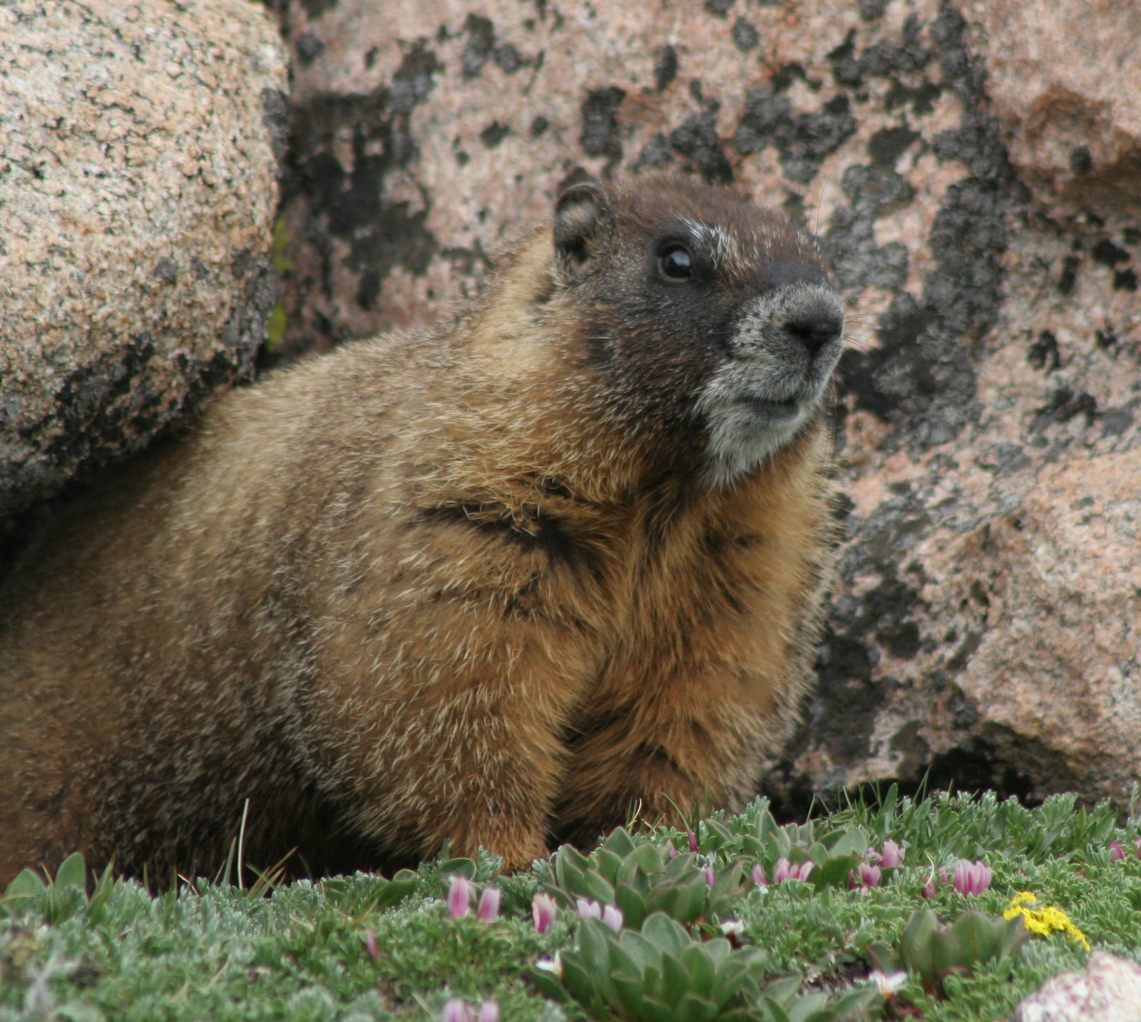
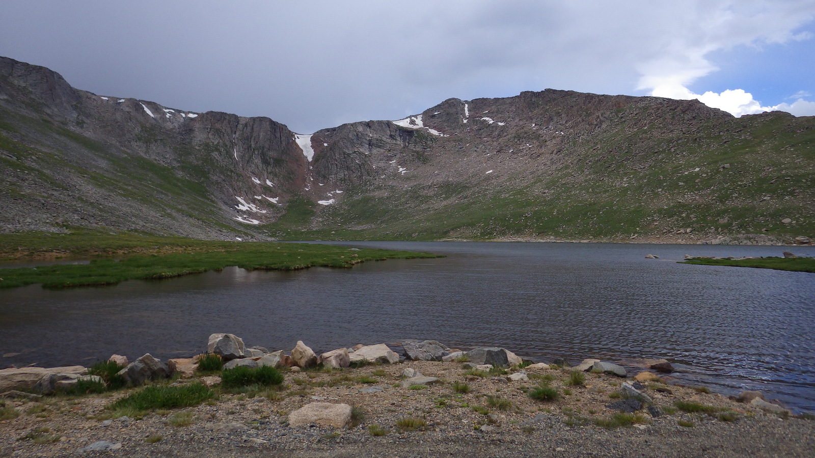
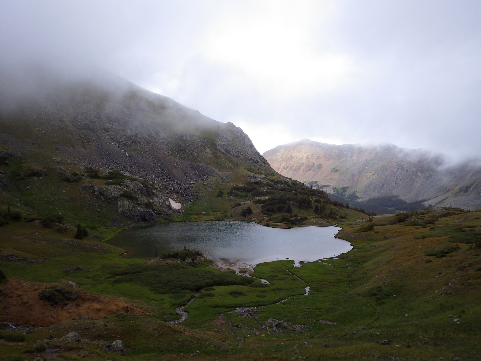
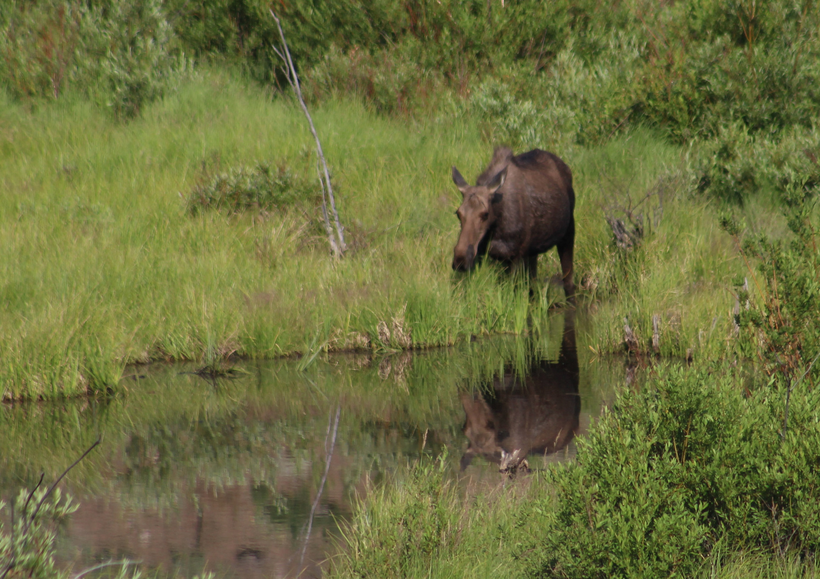
Beaverhead National Forest still has most of its pre-settlement carnivores: grizzly bears, black bears, mountain lions, Canadian lynx, coyotes, and gray wolves. Grazing ungulate species include moose, elk, mule deer, white-tailed deer, bighorn sheep, mountain goats, and pronghorns. We saw bald eagles and ospreys on our drive out from Upper Potosi Hot Springs. Mountain whitefish, golden trout, cutthroat trout, rainbow trout, brook trout, lake trout, arctic grayling, and burbot are some of the gamefish sought by fishermen.
Instagram-worthy Photo
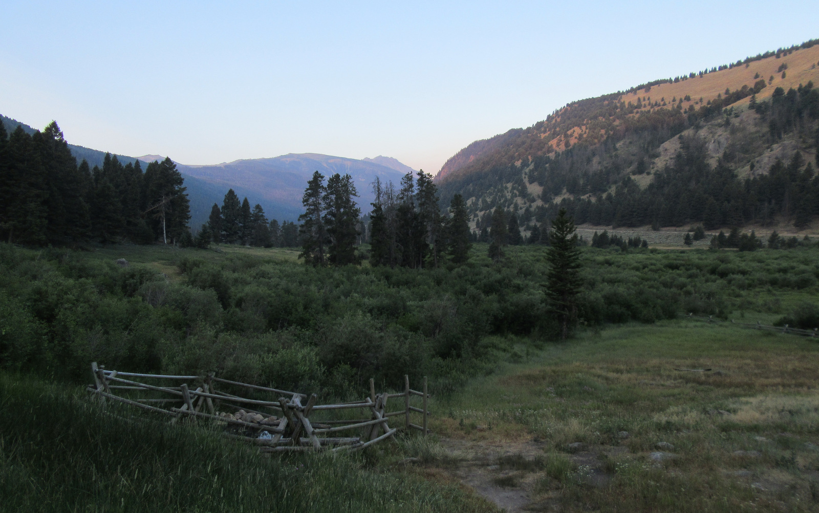
The ruins of a developed hot springs resort (located on private land) are visible from Upper Potosi Hot Springs. Watch for moose downhill in South Willow Creek and a cute little garter snake that hangs out in the rocks by the pool (possibly year round if it stays warm enough not to hibernate).

Peak Season
Summer
Fees
None
Road Conditions
The dirt roads to Potosi Campground and over Lemhi Pass are both in very good condition, but we do not know about all the other dirt roads that cross the Continental Divide. We read the access road to Louise Lake National Recreation Trail is pretty rough, requiring four-wheel drive the last two miles.
Camping
There are more than 20 spots to set up at Potosi Campground, which is free and located near the trailhead for Upper Potosi Hot Springs. You will want a high-clearance vehicle to drive across South Willow Creek to the official trailhead, but there are also pedestrian bridges.
Wilderness Areas
Anaconda-Pintler Wilderness (also in Deerlodge and Bitterroot National Forests)
Lee Metcalf Wilderness (also in Gallatin National Forest)
Related Sites
Deerlodge National Forest (Montana)
Big Hole National Battlefield (Montana)
Grant-Kohrs Ranch National Historic Site (Montana)
Nearest National Park
Yellowstone (Wyoming-Montana-Idaho)


Conifer Tree Species
lodgepole pine, whitebark pine, ponderosa pine, Douglas-fir, Engelmann spruce, subalpine fir, subalpine larch
Flowering Tree Species
quaking aspen, balsam poplar, Bebb willow, sagebrush
Explore More – How tall is Hilgard Peak, the highest point in Beaverhead National Forest?