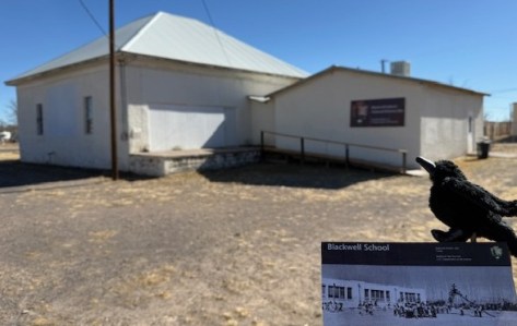
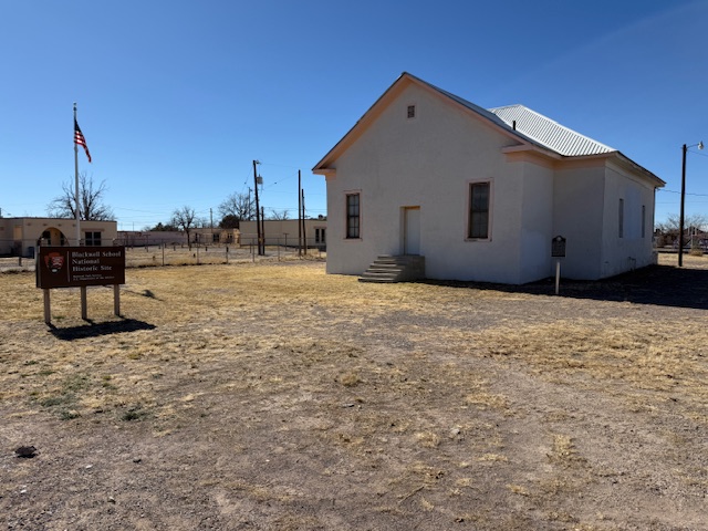
Blackwell School National Historic Site
Texas
Managed by National Park Service
Established 2022
0.5 acre
Website: nps.gov/blsc
Overview
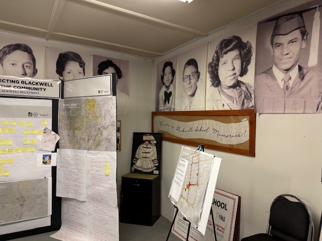
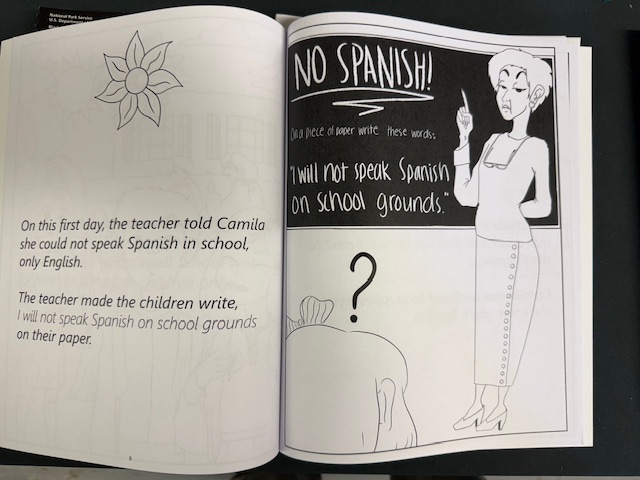
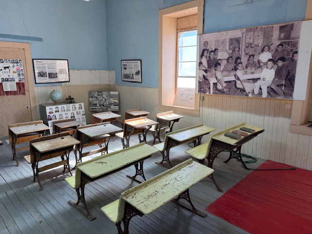
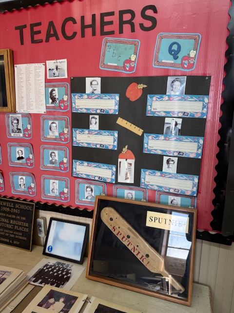
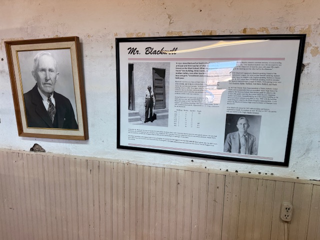
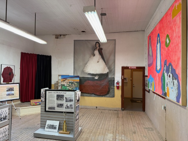
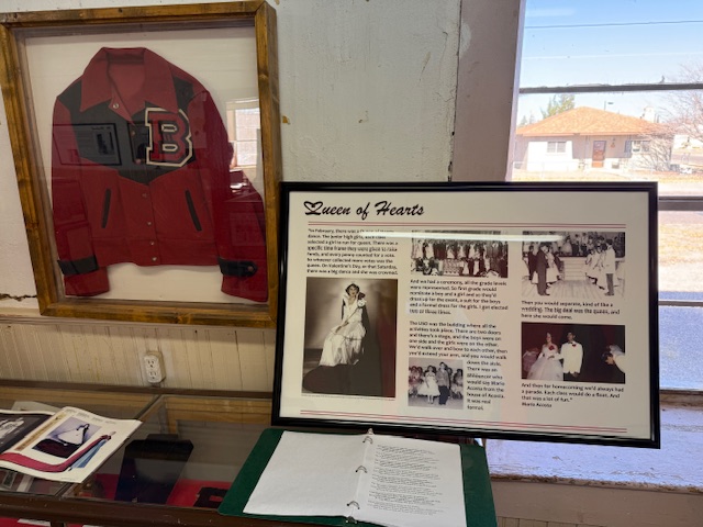
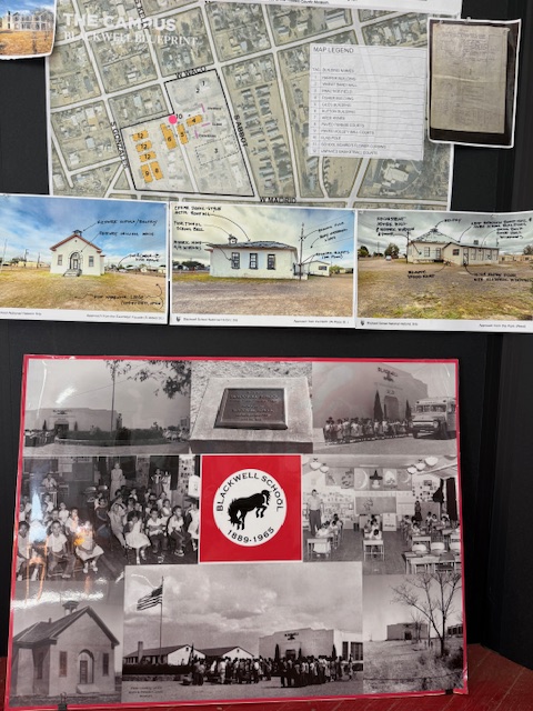
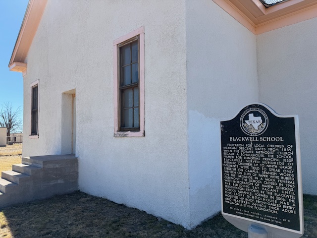
A three-room schoolhouse built for Marfa’s Hispanic children in 1909 is all that remains of a once larger campus (the Band Hall from 1927 is still attached). Blackwell School was named for a prominent early principal, and it closed in 1965 following legally mandated integration more than a decade after the Brown v. Board of Education decision. At its peak, the school had more than 600 students, with Hispanic students segregated, except on sports teams. After 1954, students were no longer allowed to speak Spanish on campus with a mock funeral held for the language and corporal punishment inflicted upon violators. Not all former students wanted to preserve this site where “separate but equal” education was practiced, but enough felt it was important to recall this history. The main building was saved from demolition by the nonprofit Blackwell School Alliance who helped the National Park Service (NPS) acquire the property from the Marfa Independent School District in 2024. The NPS has plans to reconstruct a belltower atop the adobe building.
Highlights
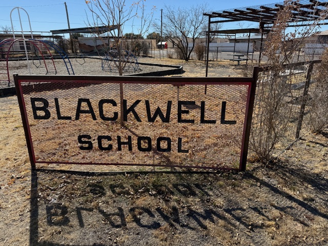
School building, playground
Must-Do Activity
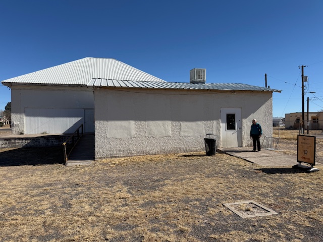
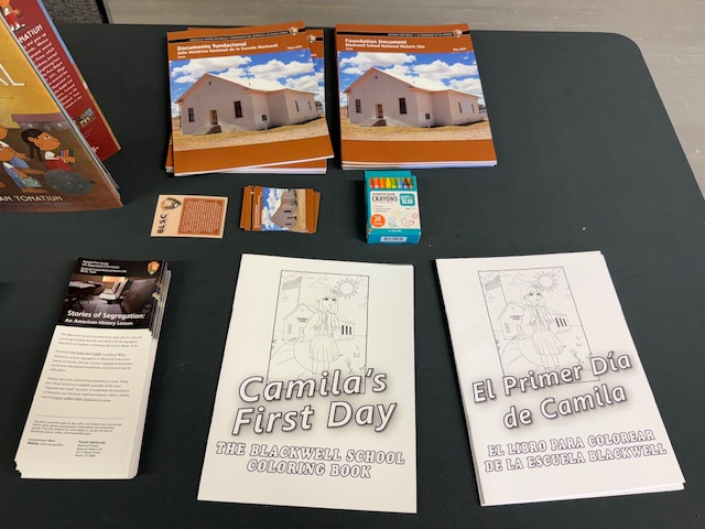
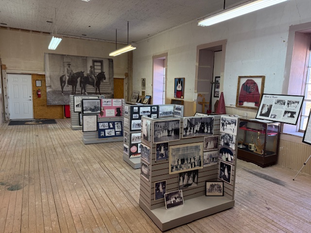
You definitely want to arrive when an NPS employee is on site to allow you inside the building and to explain its history. There are artifacts and informational panels on display inside. There is even a coloring book available in both English and Spanish that explains the story of Blackwell School to children.
Best Trail
None
Photographic Opportunity
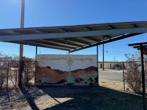
In the lot next to the school building is a playground, and there are plans to install outdoor interpretive signs and photos under the awning to provide information to visitors when the site is closed on weekdays.
Peak Season
Winter
Hours
Currently 12-4 on Saturdays and Sundays only
https://www.nps.gov/blsc/planyourvisit/basicinfo.htm
Fees
None
Road Conditions
Paved street parking is available at the site in Marfa.
Camping
There is an RV park in Marfa, or you can boondock at the Marfa Lights viewing area that has bathrooms. Big Bend National Park takes reservations for its campsites (with no hookups).
Related Sites
Brown v. Board of Education National Historical Park (Kansas)
César E. Chávez National Monument (California)
Fort Davis National Historic Site (Texas)
Guadalupe Mountains National Park (Texas)
Nearest National Park


Explore More – When was the first ever school opened in Marfa?