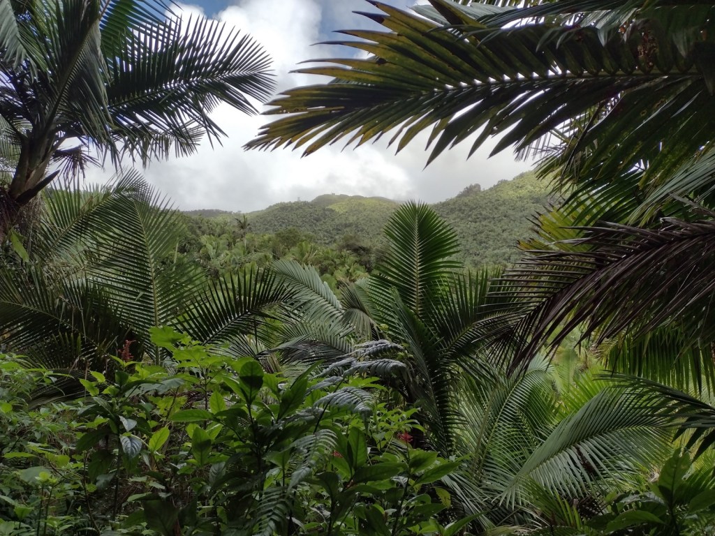
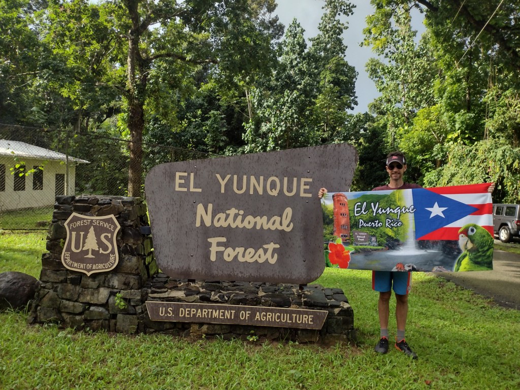
El Yunque National Forest
Puerto Rico (U.S. territory)
Managed by U.S. Forest Service, Southern Region
56,097 acres (28,434 federal/ 27,663 other)
Website: https://www.fs.usda.gov/elyunque
Overview
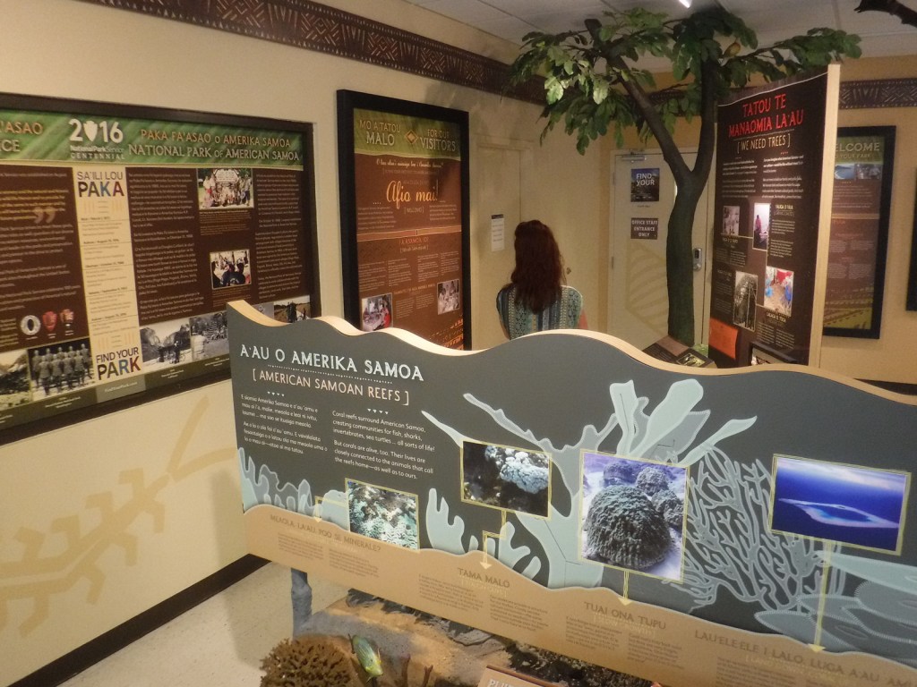
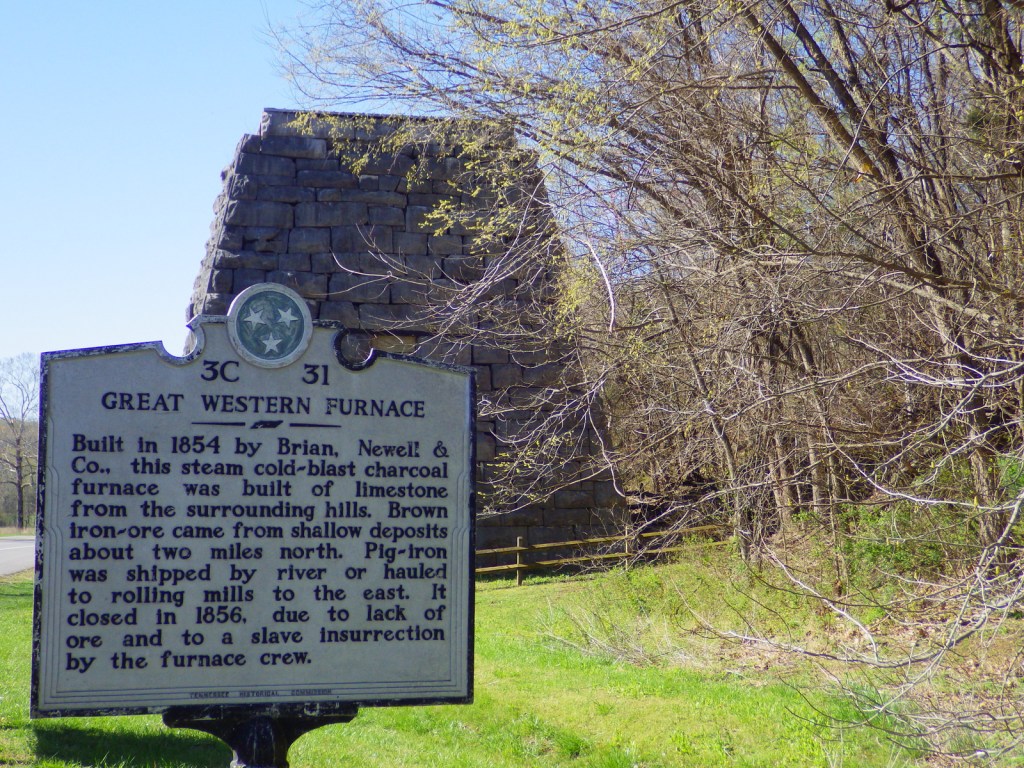
Also called Bosque Nacional El Yunque, this forest was known as the Caribbean National Forest from 1935 until 2007 when it was renamed for a 3,496-foot peak. It is the only tropical rainforest and the oldest protected forest in the U.S. Forest Service system, originally set aside in 1876 by King Alfonso XII of Spain. Puerto Rico is still recovering from Hurricane Maria that struck September 20, 2017, and the Forest Service’s El Portal Rainforest Visitor Center remains closed while under reconstruction.
Highlights
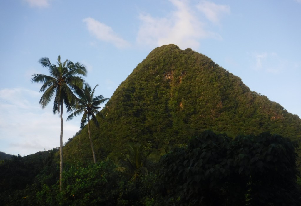
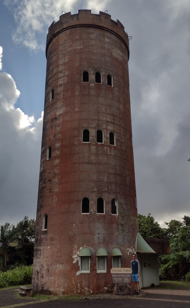
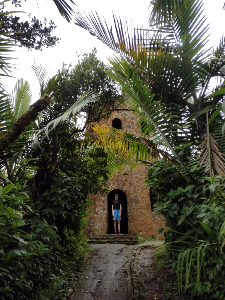
El Portal Rainforest Visitor Center, La Coca Falls, Juan Diego Creek, Yokahú Observation Tower, Baño de Oro, Mt. Britton, El Yunque Trail, El Toro National Recreation Trail
Must-Do Activity
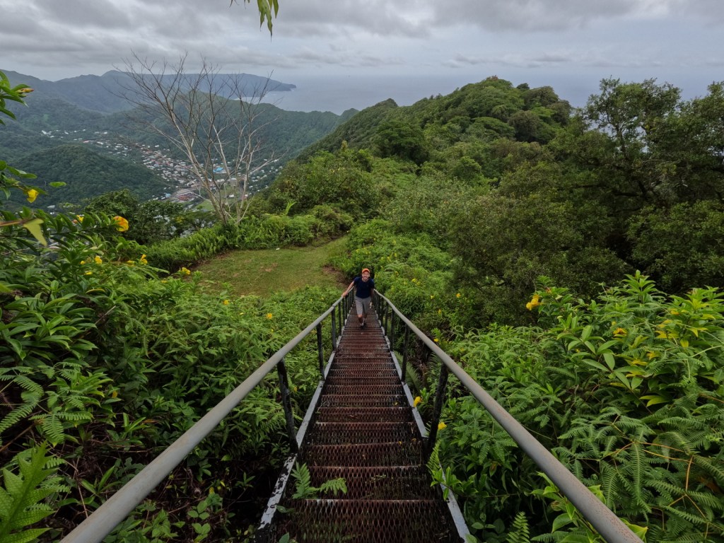
Unlike other national forests, El Yunque is a major tourist destination in Puerto Rico with buses bringing cruise ship passengers up the Sierra de Luquillo Mountains less than an hour’s drive from the capital of San Juan. They all stop at La Coca Falls and Yokahu Observation Tower, but fewer visitors hike to the top of 3,496-foot El Yunque or Mt. Britton. Enough people visit that the Forest Service instituted an online reservation system (fee required) similar to the one at Rocky Mountain National Park.
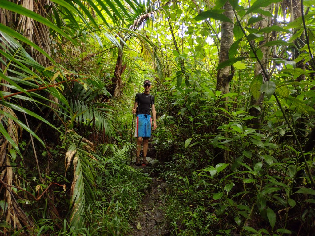
Best Trail
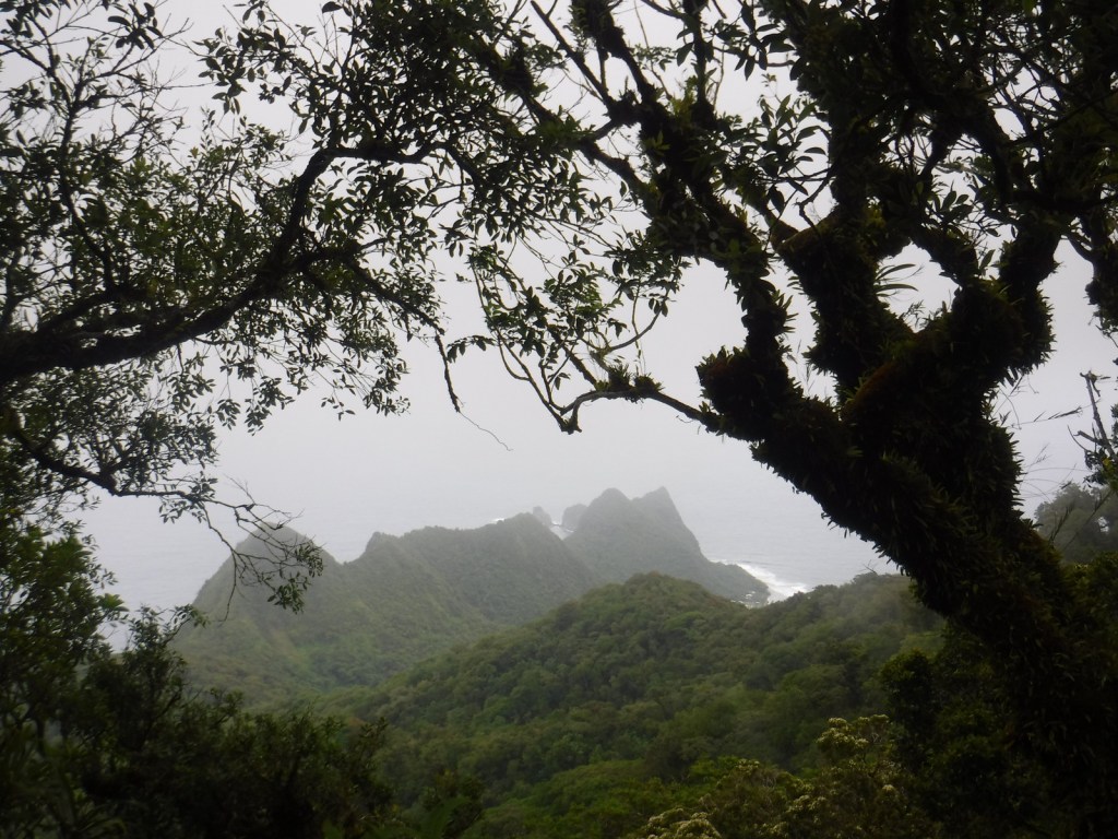
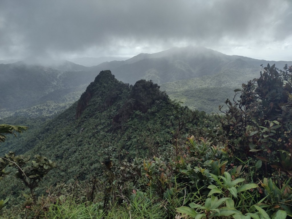
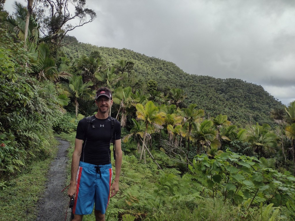
Every step squished and our feet often disappeared in ankle-deep, orange-brown mud on the five-mile out-and-back El Toro National Recreation Trail. Glad to have walking sticks, we stepped carefully as we slowly approached the summit of the 3,526-foot mountain. Average annual precipitation in these “cloud forests” is 150 to 240 inches and poor water runoff from the volcanic soils results in boggy, acidic conditions. In 2005, the 10,000-acre El Toro Wilderness became the first Wilderness designation in a U.S. territory.
Watchable Wildlife
Bird watching is the main attraction, and we spotted a Puerto Rican tody, elfin woods warbler, broad-winged hawk, red-tailed hawk, and many zenaida doves. We never saw one, but when the sun set or it rained we enjoyed listening to the coquis, small tree frogs whose name is onomatopoeia for their call. There are 17 species of coqui in Puerto Rico (11 of them endemic) but only the forest and common coquis emit their namesake sound. Rather than going through a tadpole phase, all coqui emerge as miniature froglets after incubation. Even though this is a tropical rainforest, there are no poisonous snakes on the island, but the endangered Puerto Rican boa can grow up to eight feet in length. Another endangered species, the Puerto Rican parrot may only survive in captivity after Hurricane Maria.
Instagram-worthy Photo
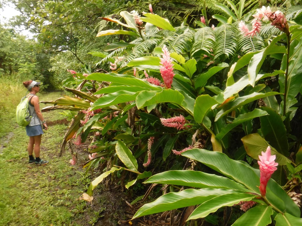
There are at least 15 species of tree ferns that grow in El Yunque National Forest, but we were most impressed by the giant leaves of yagrumo hembra (umbrellatree).

Peak Season
Year round
Fees
Online reservations ($2 fee) required for the Highway 191 corridor
Road Conditions
Highway 191 is well maintained, although winding and narrow in places. Access to El Toro Trailhead can be either very rough (from the east we needed a Jeep) or very smooth (from the west) depending on which part of Highway 186 you drive.
Camping
There are no campgrounds and it seemed impossible to find a place to set up a backpacking tent in the dense tropical rainforest. We stayed at an Airbnb in the town of Luquillo, not far from the entrance to El Yunque National Forest.
Wilderness Areas
El Toro Wilderness
Related Sites
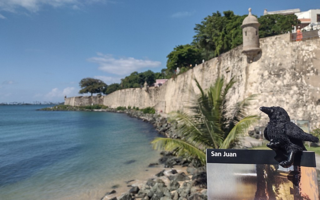
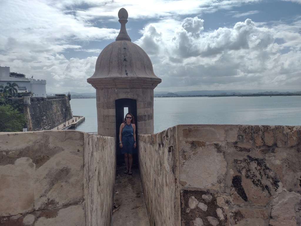
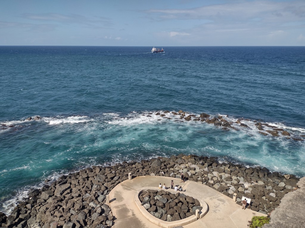
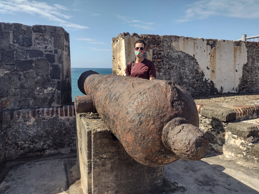
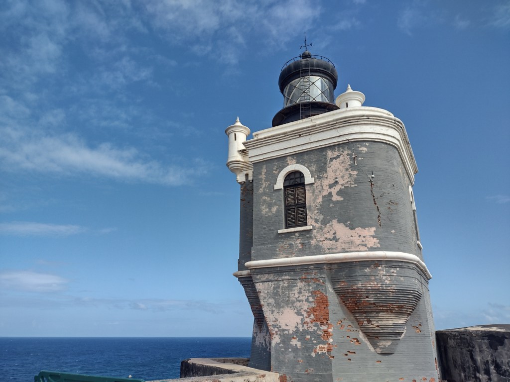
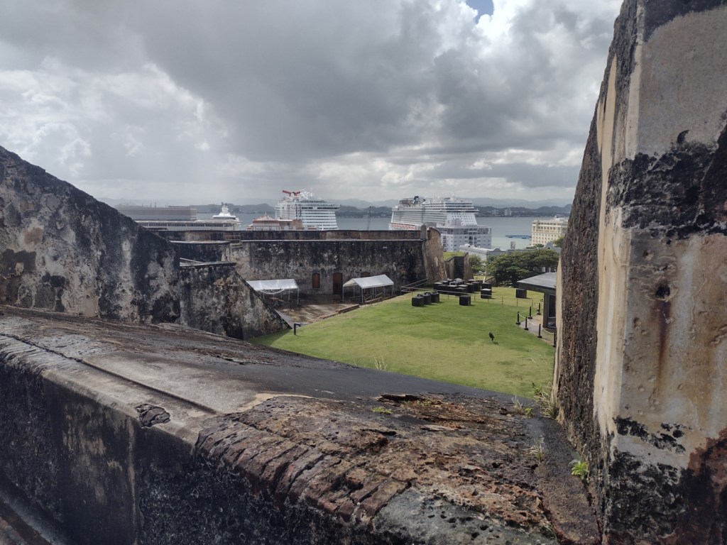
San Juan National Historic Site (Puerto Rico)
Virgin Islands Coral Reef National Monument (U.S. Virgin Islands)
Salt River Bay National Historical Park and Ecological Preserve (U.S. Virgin Islands)
Nearest National Park


None
yagrumo hembra (umbrellatree), tabonuco, ausubo, gumbo-limbo, flamboyant (African flame tree), palo colorado (titi), teak, caoba (mahogany), nemoca, roble de sierra, limoncillo, camasey, sierra palm, guayabota
Explore More – What is another name for the cloud forests where strong trade winds above 2,500 feet keep trees pruned to less than 12 feet tall?
Learn more about this and the 154 other National Forests in our new guidebook Out in the Woods


We are a participant in the Amazon Services LLC Associates Program, an affiliate advertising program designed to provide a means for us to earn fees by linking to Amazon.com and affiliated sites.