27,650,496 acres
Statehood 1812 (18th)
Capital: Baton Rouge
Population: 4,657,757 (25th)
High Point: Driskill Mountain (535 feet)
Best time of year: Winter and spring
Last year we published our guidebook 50 States of Great: Road Trip Guide to America, so we decided to start a new type of blog post where we create a travel itinerary for all 50 states, in addition to our usual National Forest and National Park entries. After starting by jumping around to Kansas, Georgia, Idaho, Rhode Island, Minnesota, Hawai’i, and Arizona, we headed back to the south for Louisiana. Just in time for Mardi Gras, we made an ambitious seven-day plan starting in New Orleans, with plenty of options to extend the trip.
Day 1
Eating beignets is a great way to start your trip to Louisiana, and this is the most touristy place to get them, located on the Riverwalk in New Orleans.
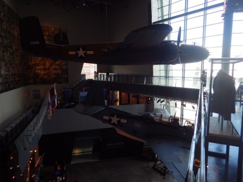
It is easy to spend an entire day here (fee) because of all the interactive exhibits and informational touchscreen kiosks. You do not even have to leave for lunch, since the Soda Shop and American Sector Restaurant & Bar are on site. We recommend you purchase a ticket including the 4-D film Beyond All Boundaries and the submarine experience based on the final mission of the USS Tang. This is our vote for #1 museum in the entire U.S.
French Quarter
Every American needs to visit the French Quarter at least once in their life (although whether that’s during the wildness of Mardi Gras is up to you), and it is walkable from the National WWII Museum. Consider stopping by iconic Lafayette Square, Old Ursuline Convent Museum, or the New Orleans Pharmacy Museum.

Ghost Tour
We have heard rave reviews about the ghost tours offered in New Orleans, and hope to attend one someday to compare it to the others we have done.
Optional stop at Mardi Gras World Museum
Visit this warehouse (fee) where floats are made for Mardi Gras parades, situated right along the Mississippi River.
Optional stop at Bayou Segnette State Park
We camped here and it felt like we were off in the wild while still within the city’s suburbs.

Day 2
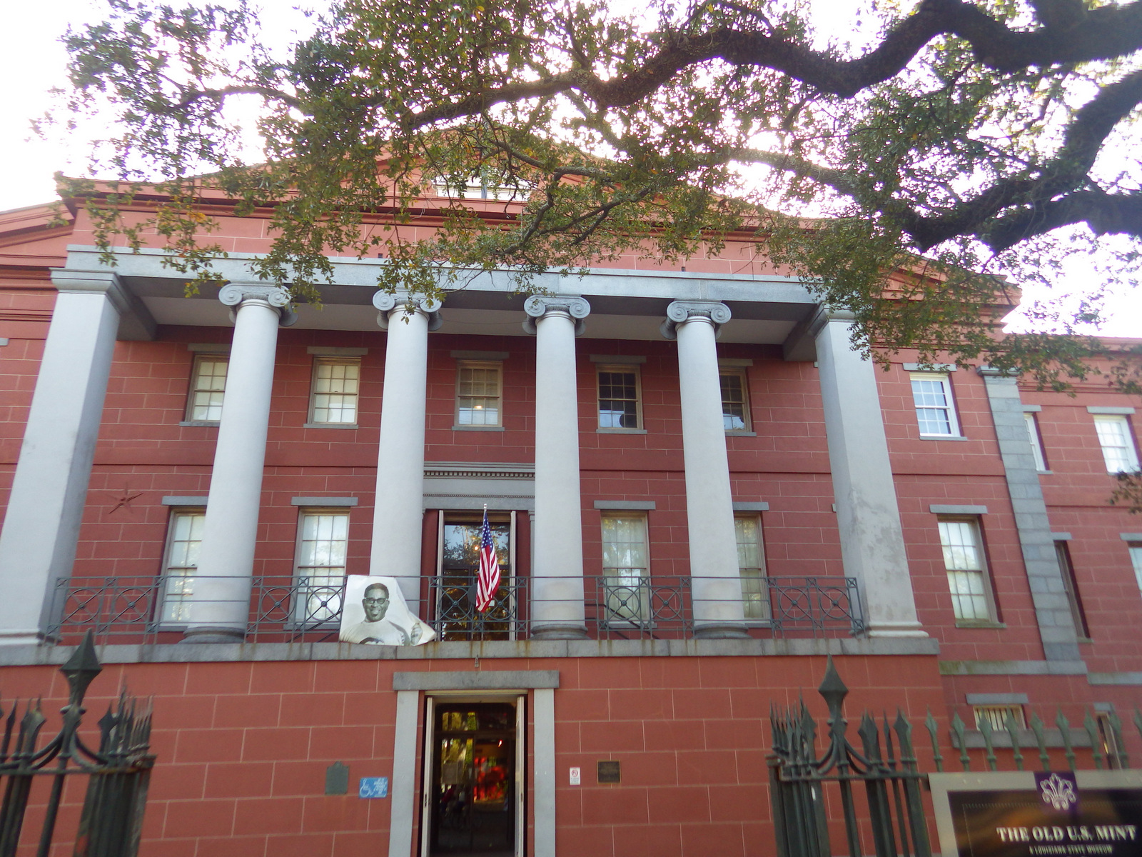
New Orleans Jazz National Historical Park
The New Orleans Jazz Museum (fee) is located in the old U.S. mint building right in the heart of the historic French Quarter. Check the online schedule for musical performances put on by the National Park Service (NPS) and enter the free visitor center shared with Jean Lafitte National Historical Park and Preserve.

Go out to lunch in New Orleans
Louisiana is famous for its Cajun food, including gumbo, étouffée, jambalaya, po’boys, and red beans and rice.
Jean Lafitte National Historical Park and Preserve (click here for our blog post)
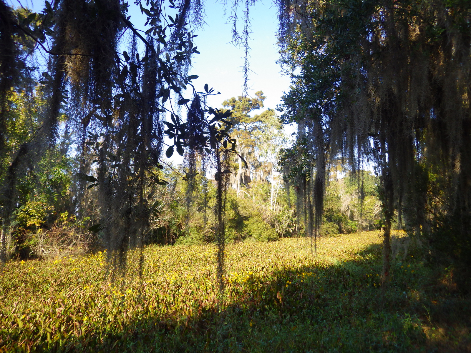
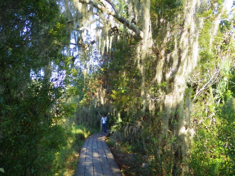
Make sure you visit the 24,000-acre Barataria Preserve to experience the bayous of Louisiana, whether you hike or take a boat tour (fee). South of downtown New Orleans off Highway 45, keep your feet dry by hiking the boardwalks on the Bayou Coquille Trail. In addition, this park includes three Acadian Cultural Centers spread throughout southwestern Louisiana.
Optional stop at Chalmette Battlefield
Another part of Jean Lafitte National Historical Park and Preserve encompasses the land where Andrew Jackson led the defeat of the British to retain New Orleans for the U.S. after the end of the War of 1812.
Day 3
Baton Rouge
Check out the art-deco capitol building where you might see white pelicans floating on the lake next door. We read that the pelican on the state flag is supposed to be a brown pelican (the official state bird) even though the artist made it white so it stood out against the blue background. Also consider visiting the Old State Capitol, Old Governor’s Mansion, or USS Kidd destroyer ship.

Optional drive along the Lake Ponchartrain Causeway
Not the most direct route between New Orleans and the capital city, this 23.8-mile causeway is considered the longest continuous bridge over water in the world. It is free to drive northbound, but don’t attempt it when it’s smoky or foggy, as it becomes very dangerous to drive.

Optional stop at LSU Tigers game
Louisiana State University is located in Baton Rouge and they are famous for their tailgating scene and raucous fans who support their perennially excellent football, women’s basketball, and gymnastics teams.

Day 4
Cat Island National Wildlife Refuge
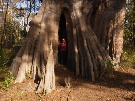
Northwest of Baton Rouge, the largest of all baldcypress trees in the U.S. is found at the end of a flat, half-mile trail, where there is a new boardwalk built around the tree to protect its roots. This area is located down six miles of dirt road full of potholes (and is sometimes flooded).
Optional stop at Atchafalaya National Wildlife Refuge
Louisiana is home to 24 National Wildlife Refuges, many found in its southern half where bayous are full of alligators and mostly uninhabited by humans, like this one west of Baton Rouge.
Day 5
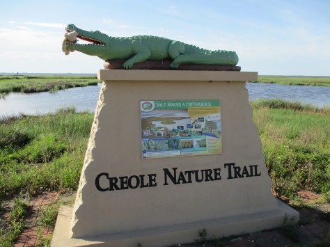
Creole Nature Trail All-American Road
In southwest Louisiana, this route traverses 180 miles of pavement around Calcasieu Lake and the Gulf of Mexico coastline. Much of the state’s oceanfront is inaccessible swamp, but in this corner of the state there are 26 miles of beautiful sandy beaches where ocean waves and seashells await. Consider spending the night in Holly Beach.
Sabine National Wildlife Refuge
Further inland, there are 700,000 acres of wetlands that attract waterfowl to Sabine National Wildlife Refuge, while the surrounding area is used by farmers to grow rice and raise crawfish.
Optional stop at Tabasco Brand Factory Tour and Museum
Before you head west, consider a stop in Avery Island where they have been bottling Tabasco Hot Sauce for over 150 years.
Day 6
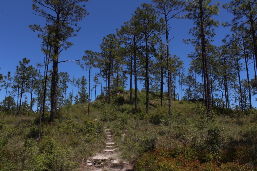
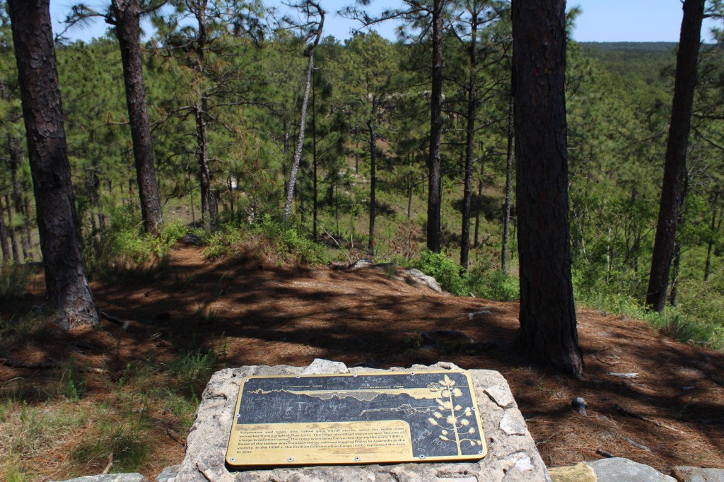
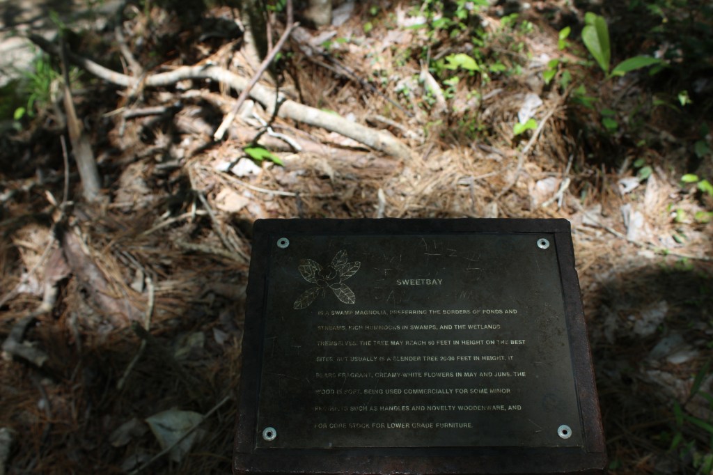
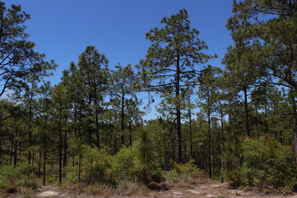
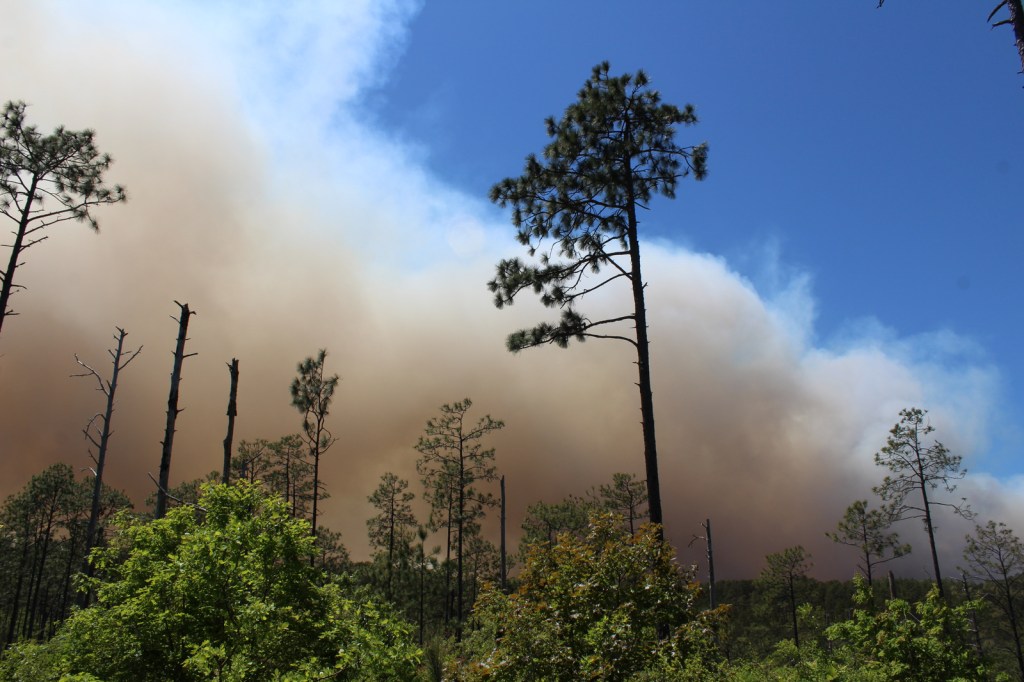
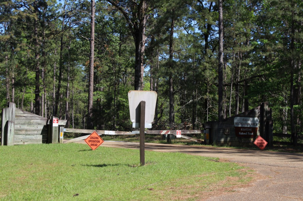
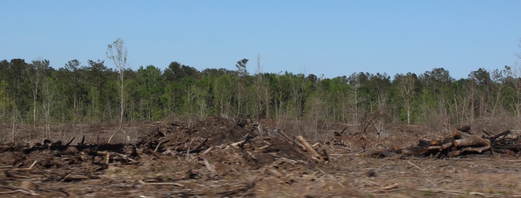
Kisatchie National Forest (click here for our blog post)
There are eight parcels that constitute the sprawling 603,360-acre Kisatchie National Forest, which has over 40 developed recreation sites and 100 miles of trails. It encompasses lakes for boating and swimming, plus baldcypress-lined bayous for canoeing and fishing. Old-growth longleaf pine forests can be accessed by the paved Longleaf Trail Scenic Byway, just off Interstate 49. A 1.5-mile interpretive loop at Longleaf Vista is a good place to start.

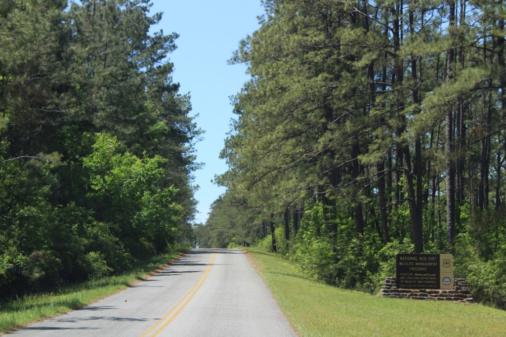
Red Dirt National Wildlife Management Preserve
Camping is allowed in this area next to the 8,700-acre Kisatchie Hills Wilderness where you can backpack along trails. Kisatchie National Forest also offers several lakefront camping areas elsewhere. Lake Fausse Pointe, Lake Bistineau, and Chicot State Parks all have campgrounds with lake access, as well cabins available for rent.

Optional stop at Creole Nature Trail Adventure Point
The Creole Nature Trail Adventure Point is a self-guided audio tour and starts off Interstate 10 in Sulphur, where a museum has hands-on displays that introduce visitors to local wildlife and Cajun culture.
Day 7
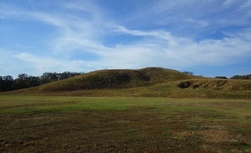
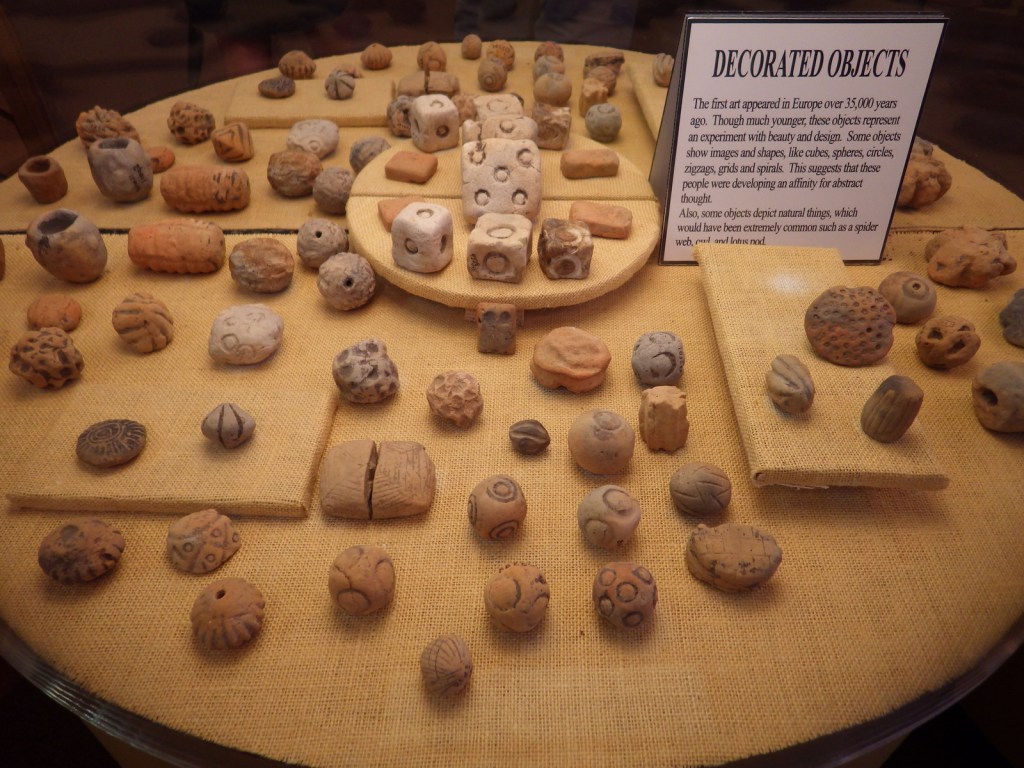
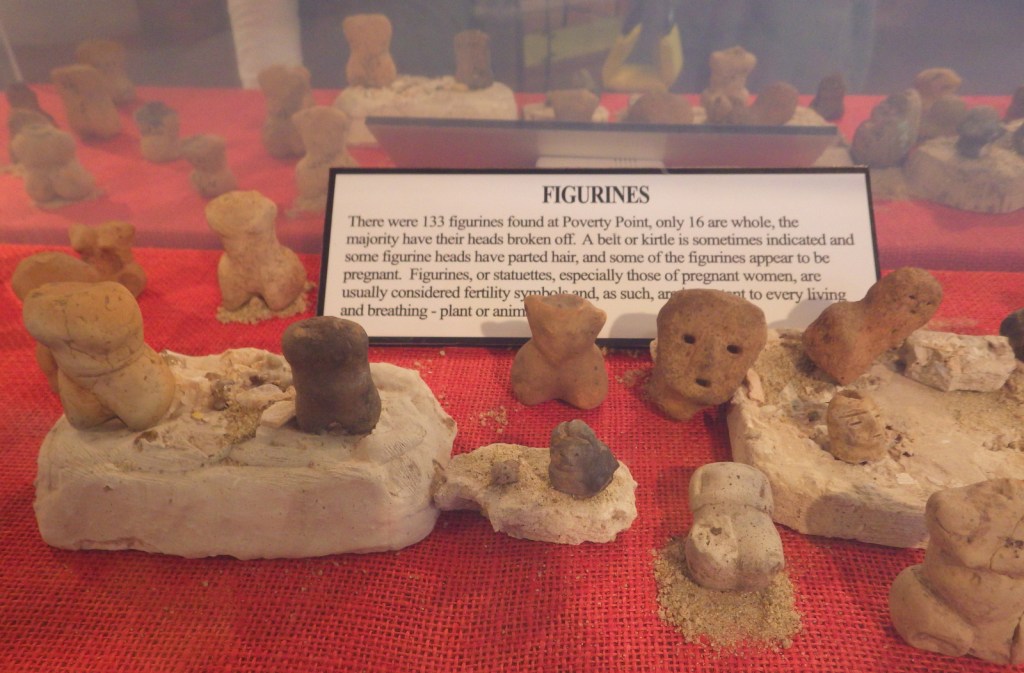
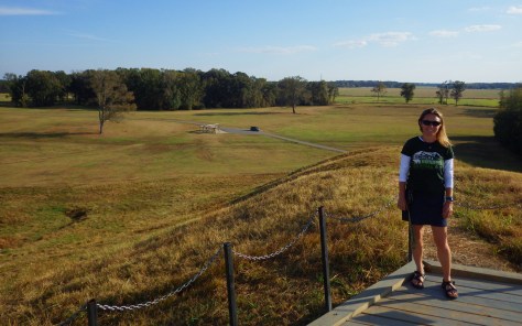
Poverty Point National Monument (click here for our blog post)
Settled 3,700 years ago by hunter-gatherers, this ancient city with a population estimated at 1,500 was situated along Bayou Macon in northeast Louisiana. The inhabitants constructed several mounds, the most impressive is 72-feet-tall in the shape of a bird, which required approximately 15-million basket-loads of soil to complete.
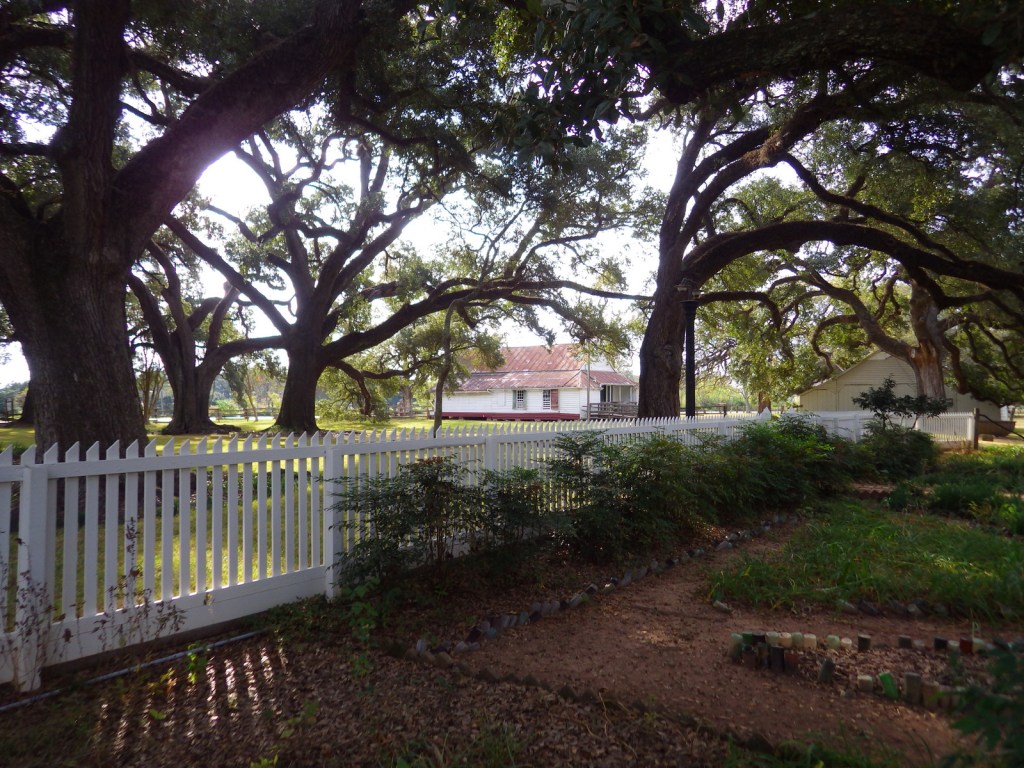
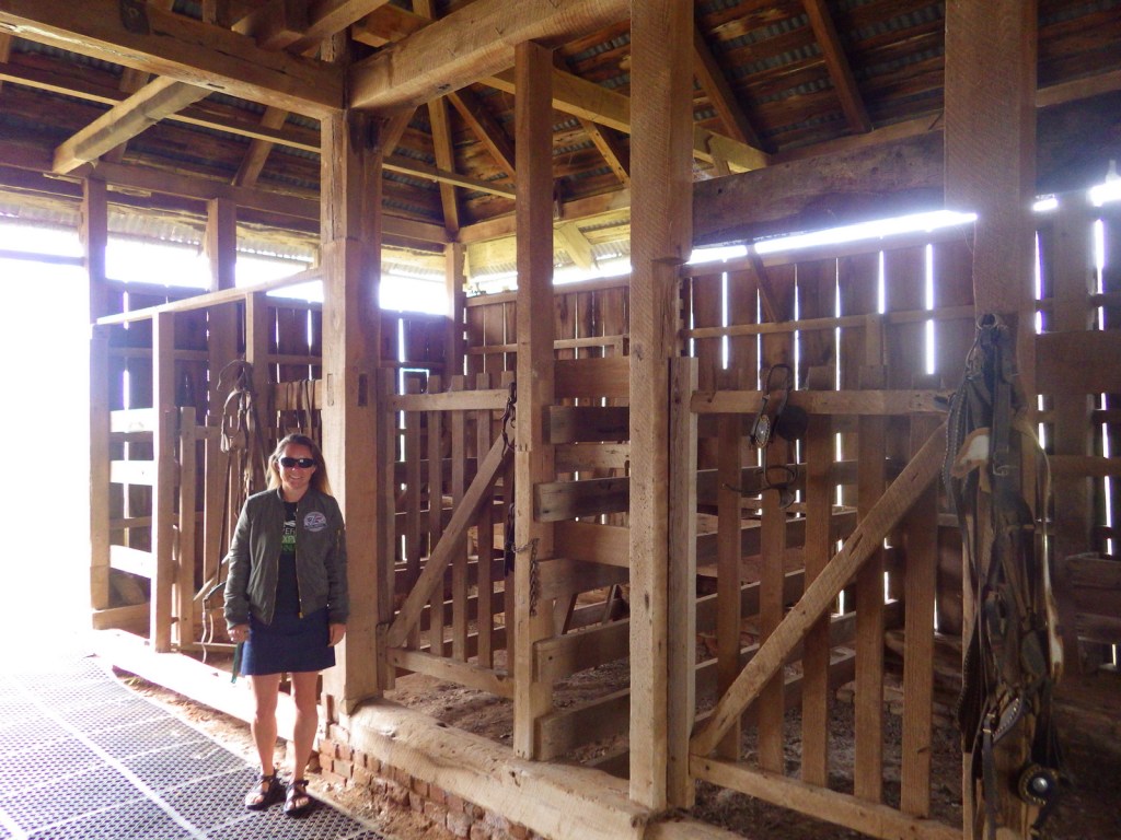
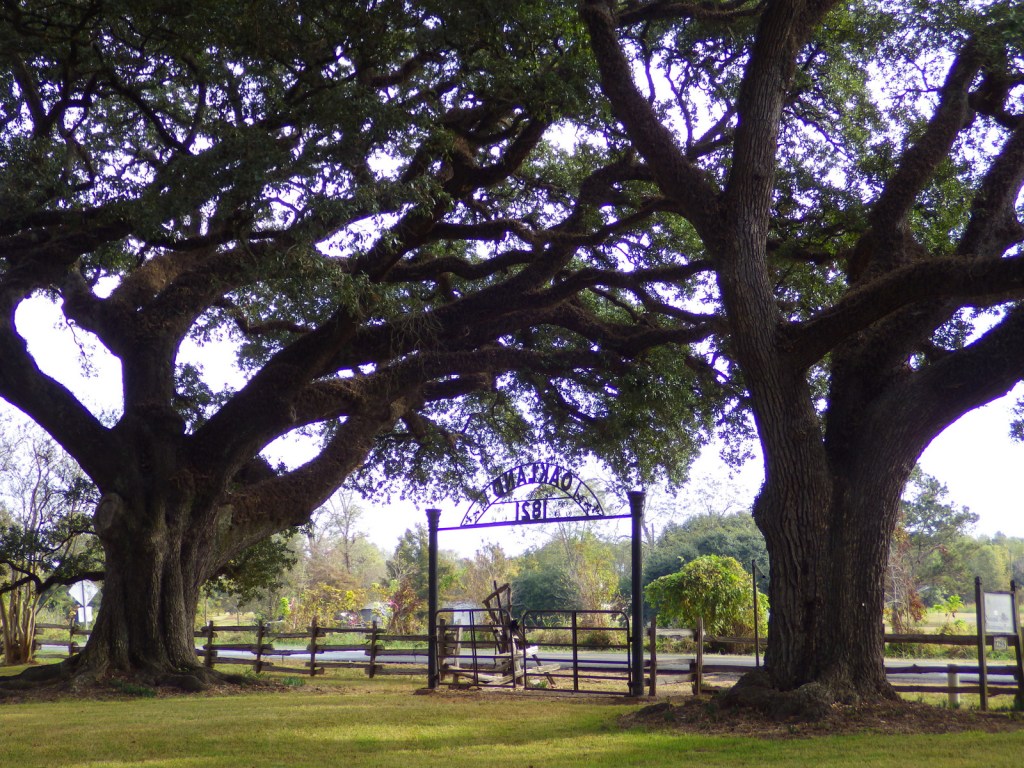
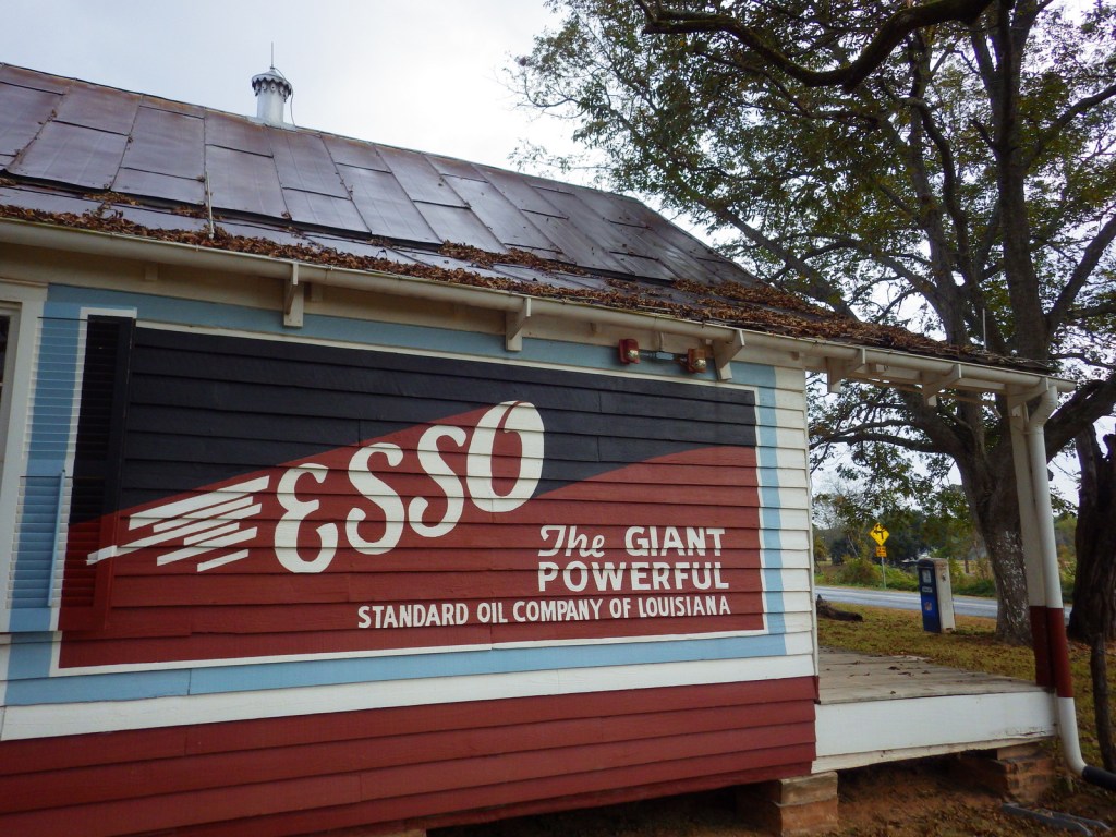
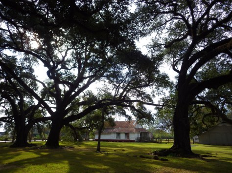
Optional stop at Cane River Creole National Historical Park (click here for our blog post)
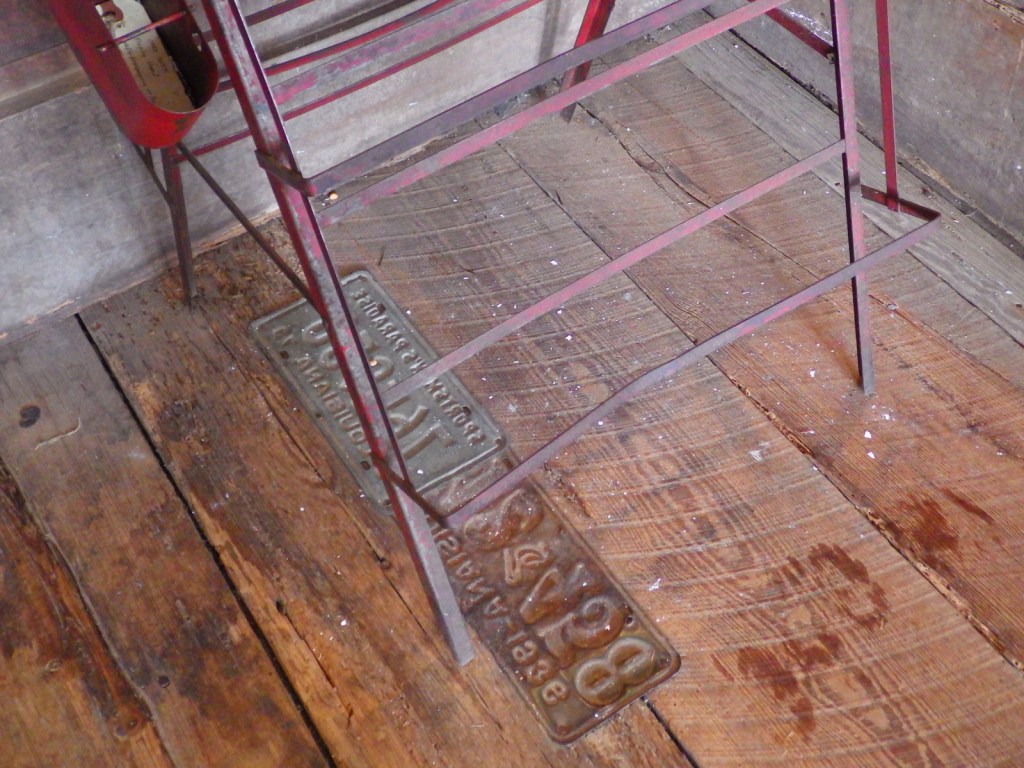
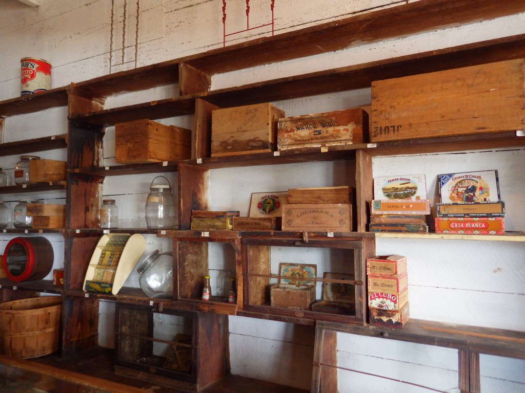
Oakland Plantation survived the Civil War intact, but in the wake of Reconstruction tenant farming created a new form of indentured servitude. Self-guided tours of the site take you through the mule barn, several cottages, and an old general store that still looks open for business along Highway 494. Slave/tenant quarters are also preserved at Magnolia Plantation downstream, but the main house is closed to the public.
Optional stop at Sci-Port Discovery Center in Shreveport
This science museum in northwest Louisiana is great for kids and adults with hands-on exhibits, a planetarium, and IMAX theater.
Day 8+
Rayne Frog Festival or Mudbug Madness
Festivals dedicated to celebrating and eating frogs and crawfish; it does not get any more Louisiana than that! Also, consider arriving during one of the many music festivals dedicated to jazz, zydeco, or other regional musical styles.
Port Hudson State Historic Site
An annual battle reenactment takes place at the site of a siege during the Civil War; further north, another Civil War reenactment is held at Pleasant Hill.
J.C. “Sonny” Gilbert Wildlife Management Area
This forested Wildlife Management Area is located between Monroe and Alexandria in central Louisiana. It includes Rock Falls, which at 17 feet in height is the tallest waterfall in the state, accessible on a seven-mile trail.

Learn more about Louisiana’s Most Scenic Drive, Top State Park, and other categories in our new travel guidebook 50 States of Great: Road Trip Guide to America.