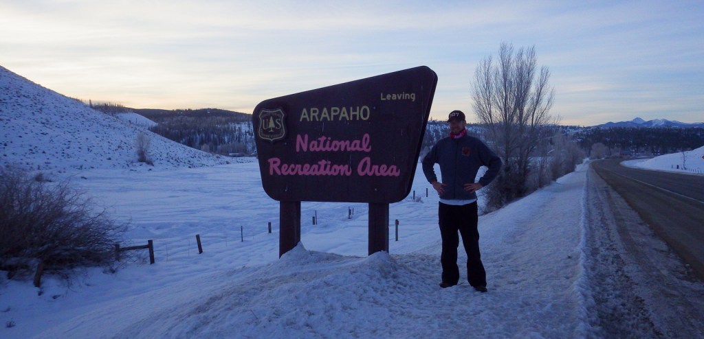
Flaming Gorge National Recreation Area
Wyoming, Utah
Managed by U.S. Forest Service, Ashley National Forest
207,363 acres
Website: https://www.fs.usda.gov/attmain/ashley/specialplaces
Overview
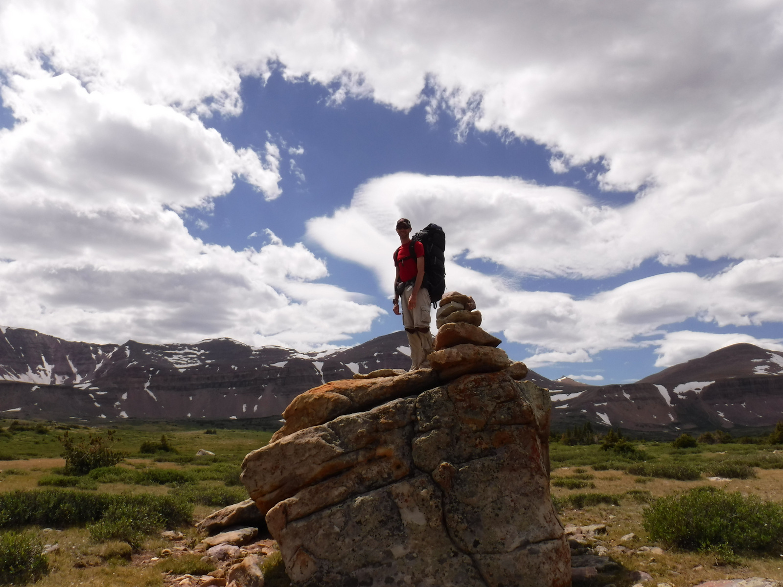
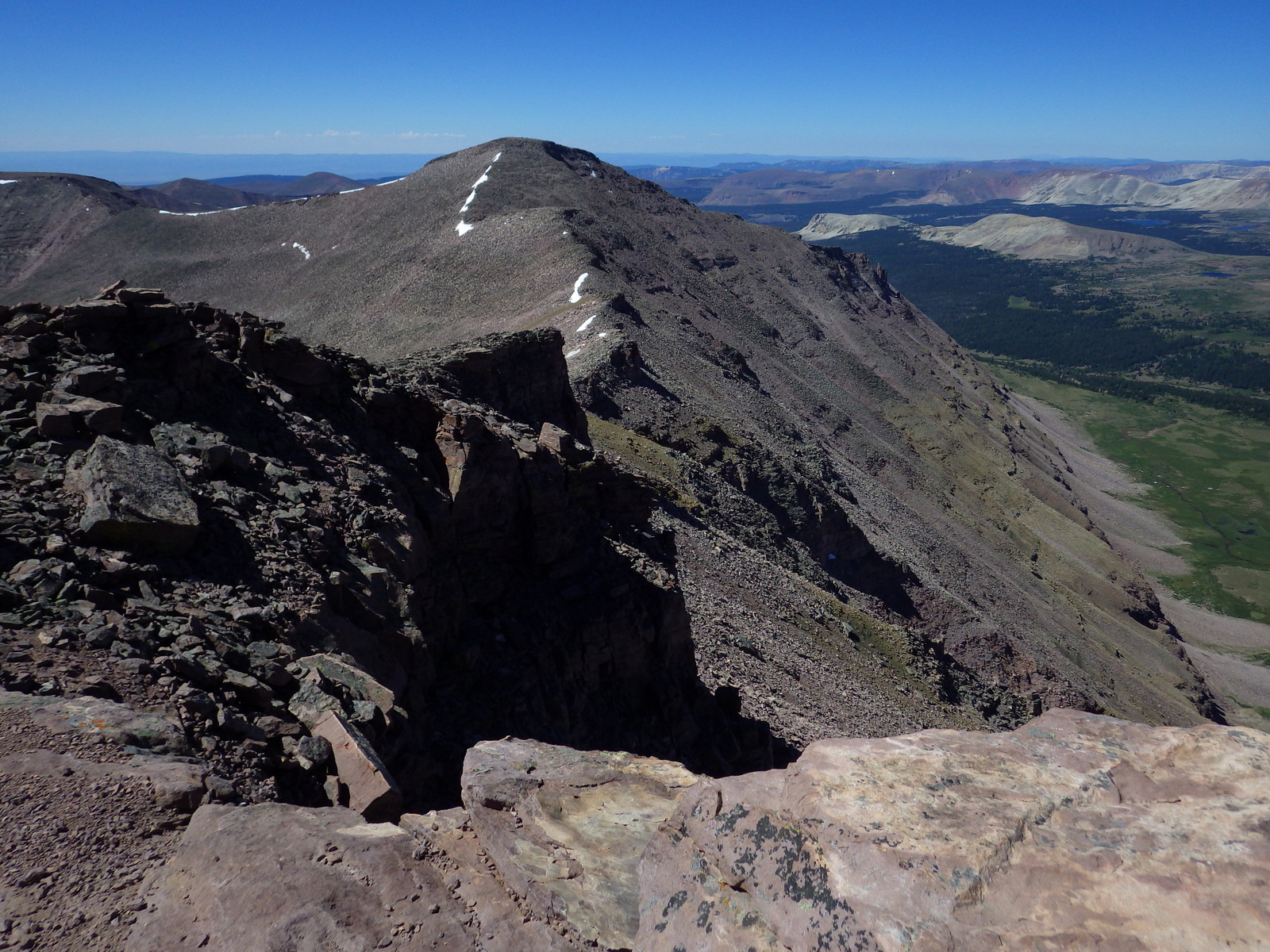
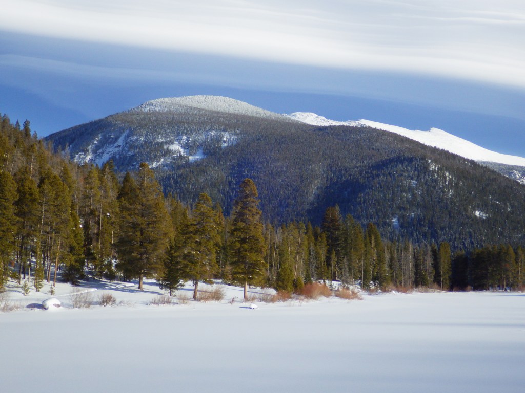
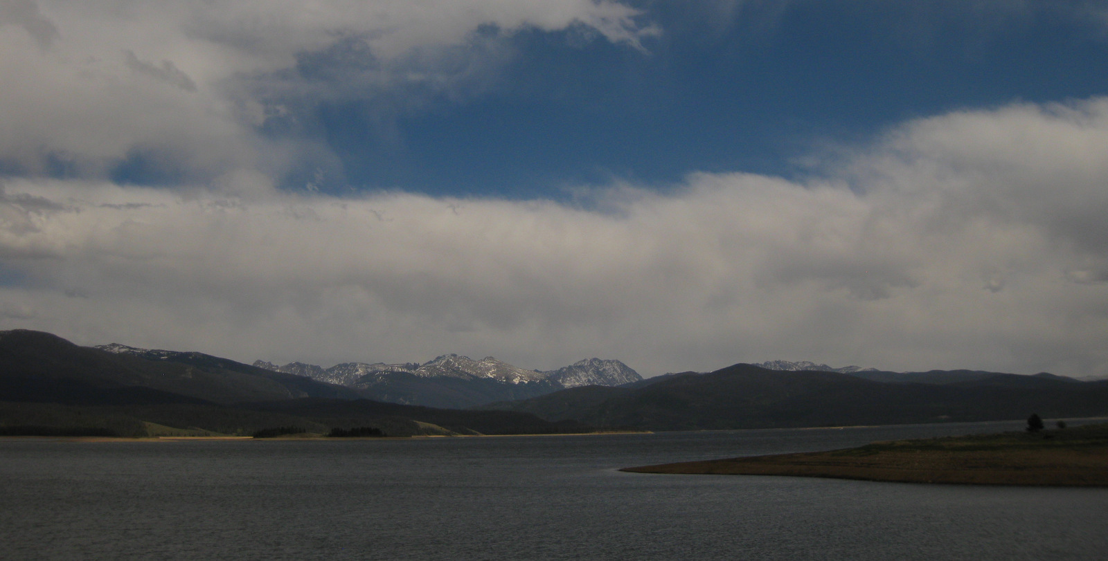
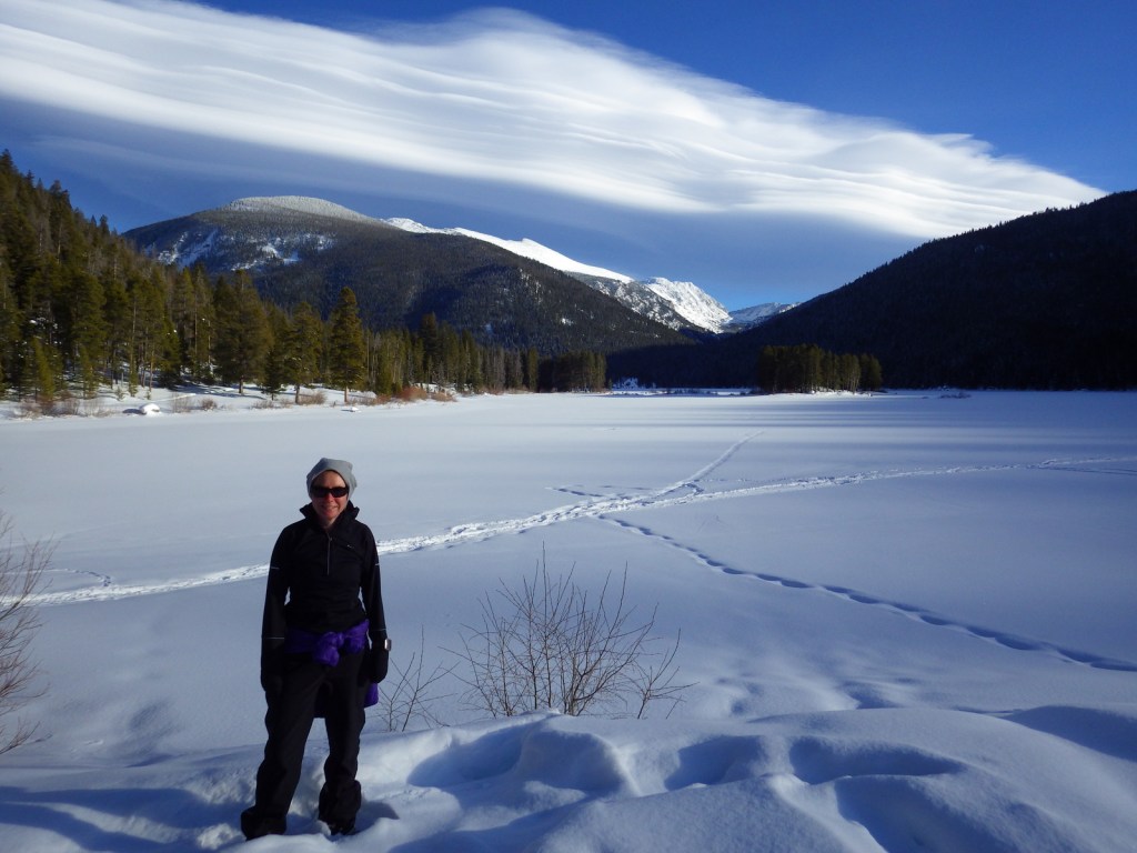
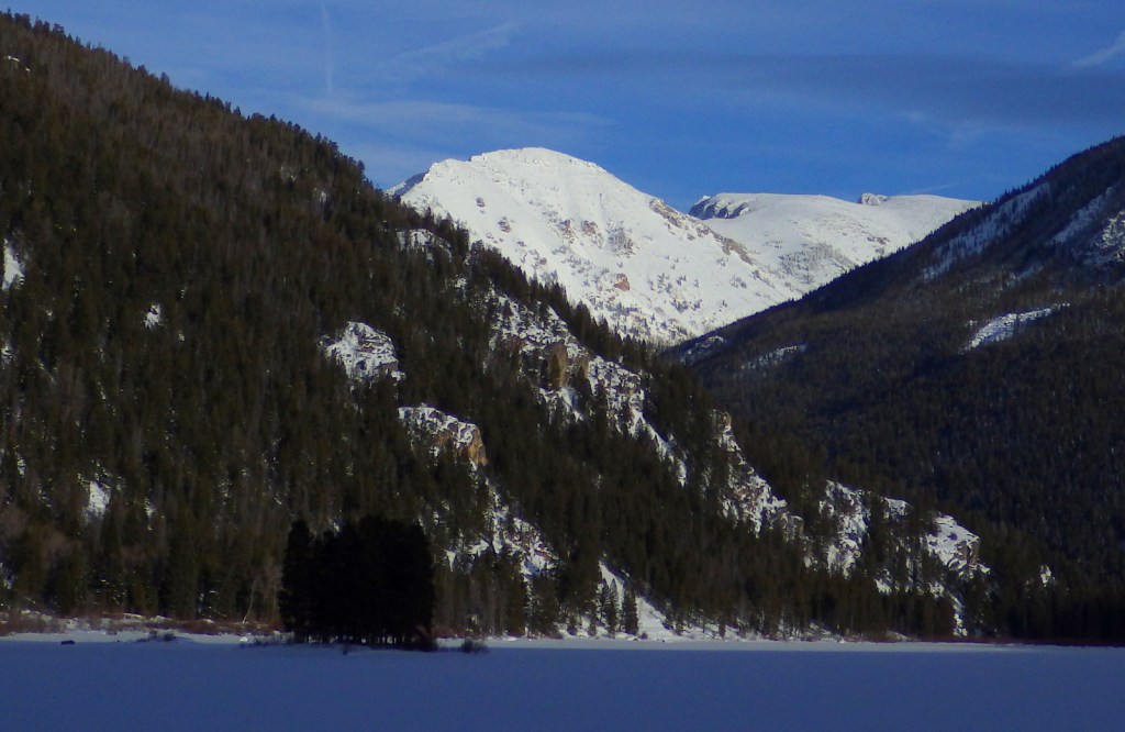
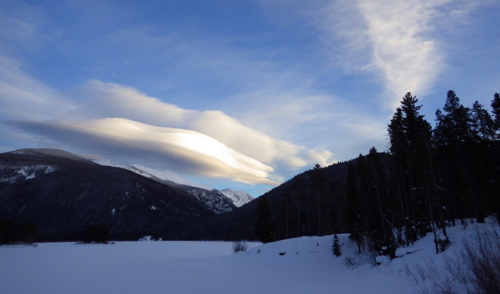
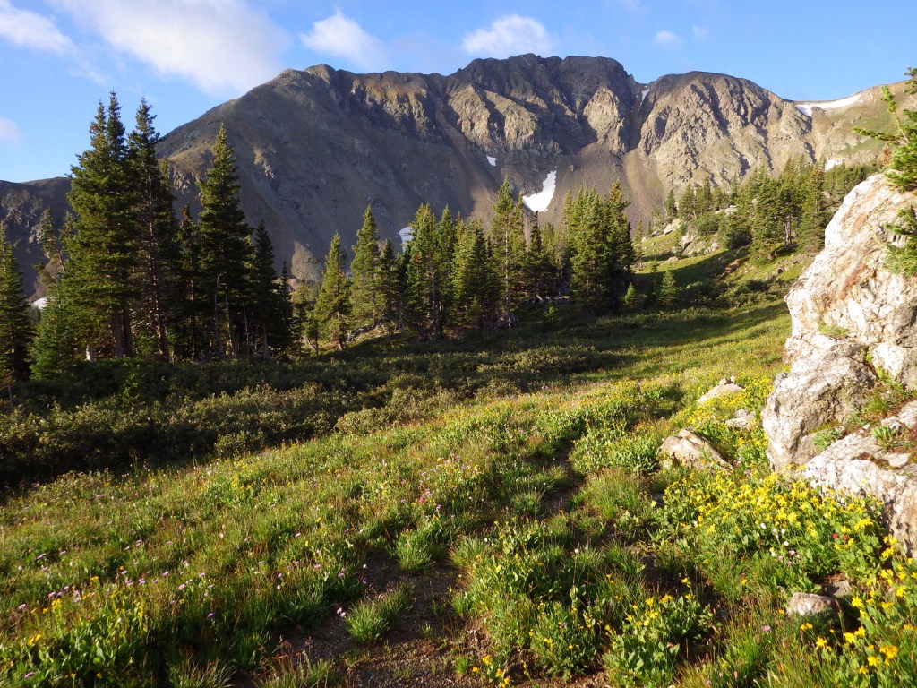
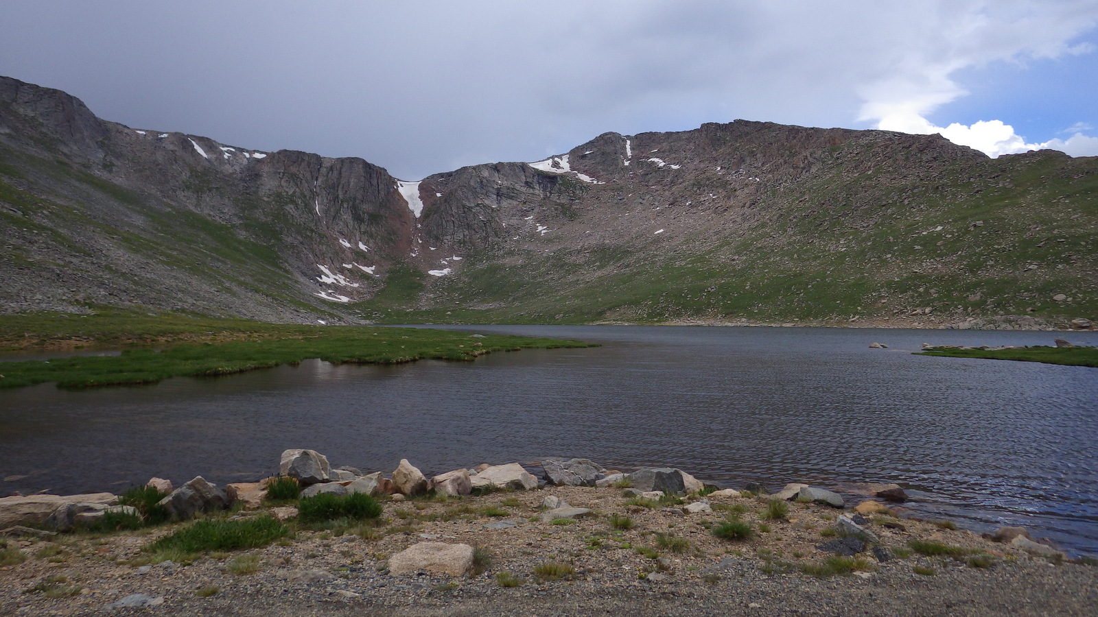
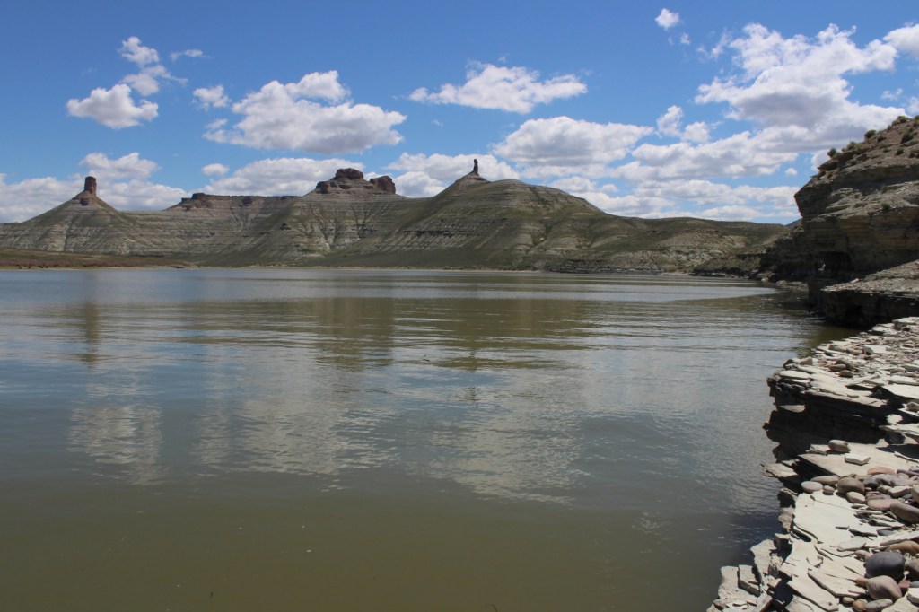
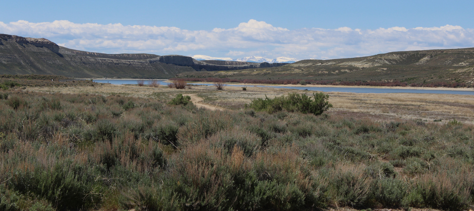
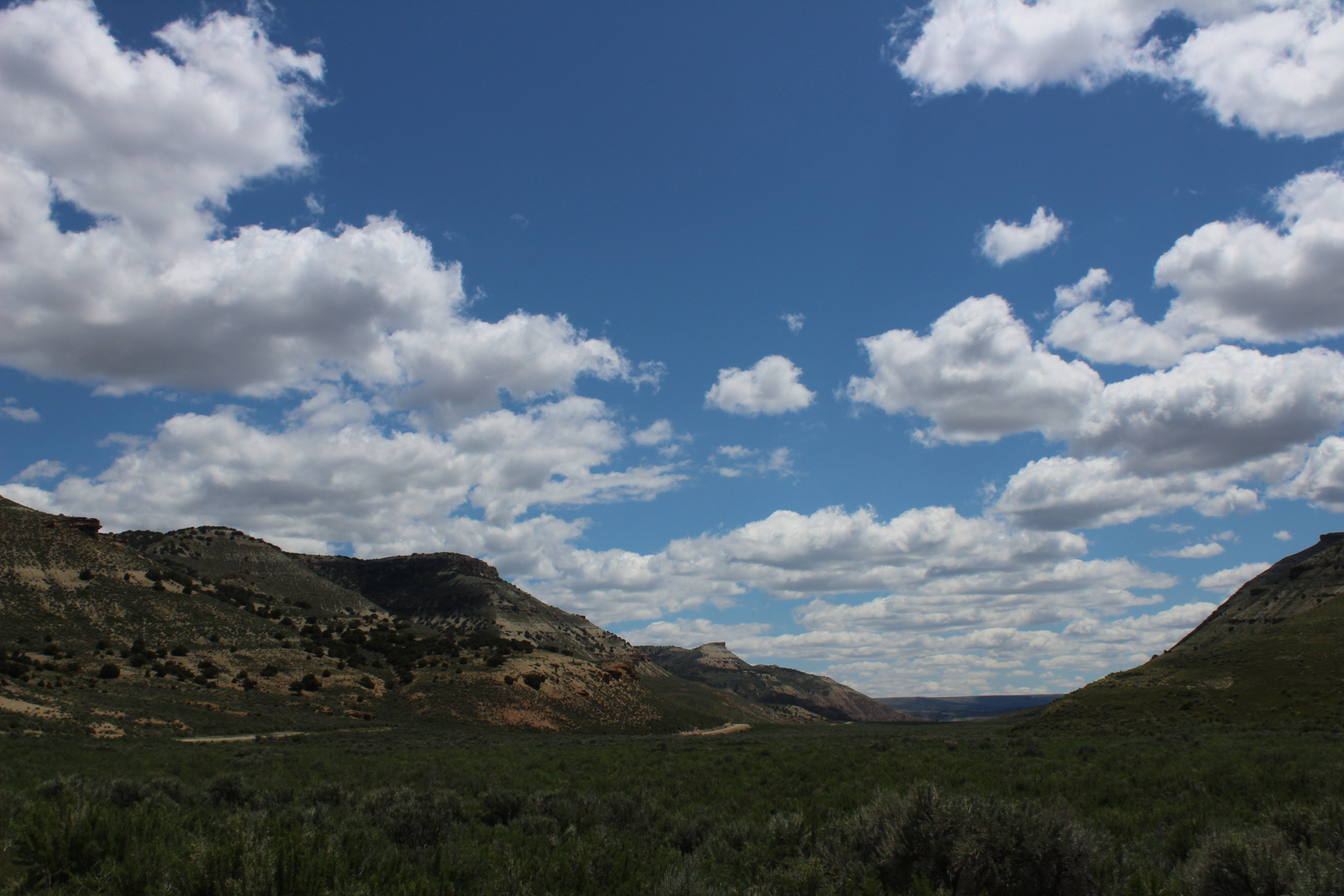
Flaming Gorge National Recreation Area surrounds the Flaming Gorge Reservoir that straddles the Wyoming-Utah border in the northern portion of Ashley National Forest. The partially-submerged canyon was named by John Wesley Powell who in 1869 started his expedition down the Colorado River near the headwaters of the Green River. The reservoir has 360 miles of shoreline, five full-service marinas, and numerous boat launches and campgrounds.
Highlights
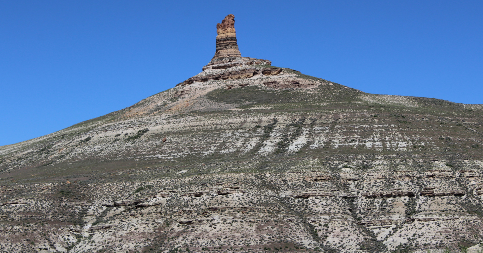
Sheep Creek National Geological Area, Flaming Gorge-Uinta Scenic Byway, Cart Creek Bridge, Flaming Gorge Dam, Red Canyon Recreation Complex, Green River, Firehole Canyon
Must-Do Activity
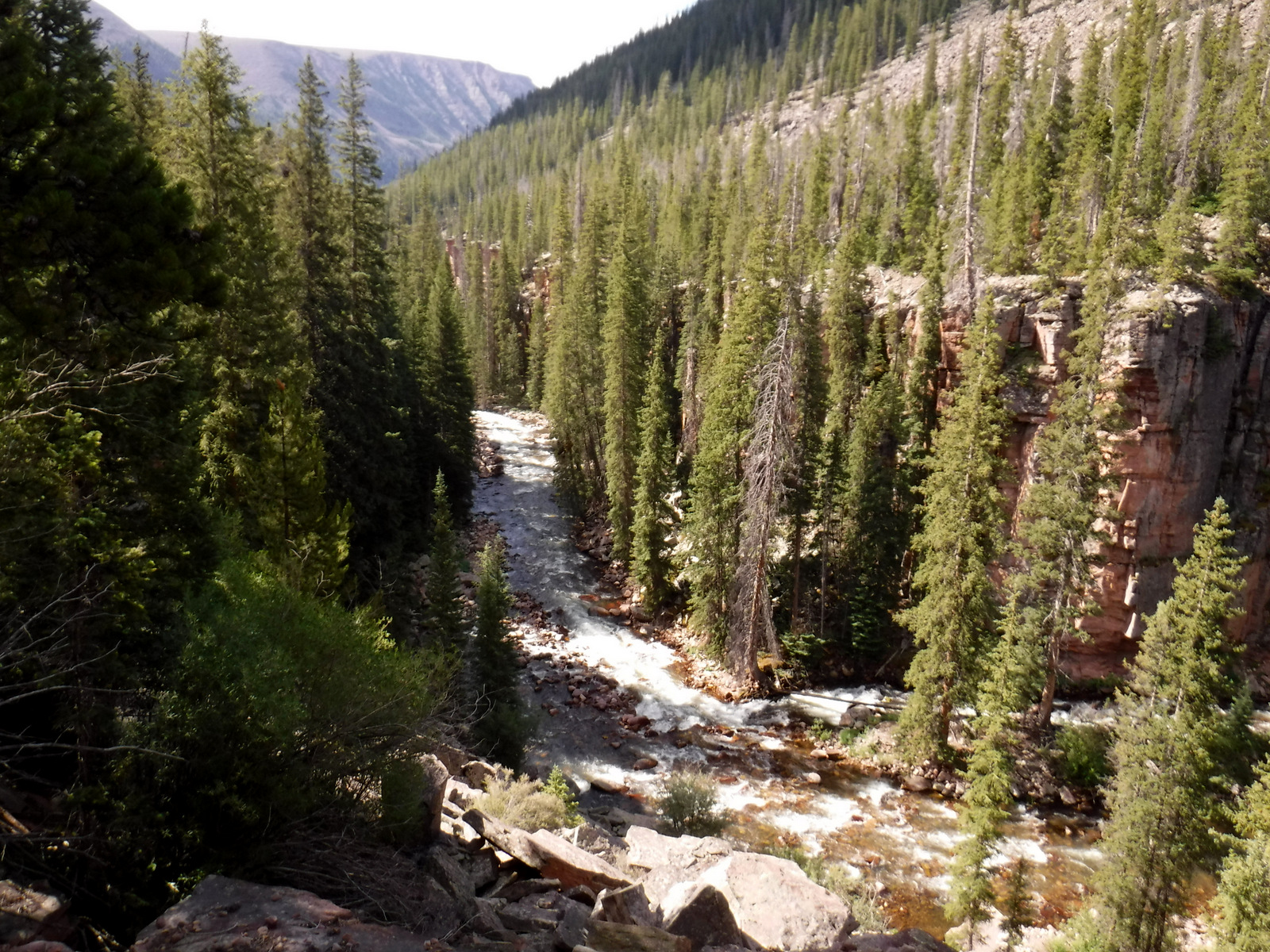
The top activities in Flaming Gorge National Recreation Area are boating and fishing, as the reservoir is known for its large population lake trout, as well as kokanee salmon, rainbow trout, brown trout, smallmouth bass, channel catfish, and burbot. Ice fishing is available in the winter, as are trails for snowmobiling and cross-country skiing. Southwest of the reservoir, Sheep Creek National Geological Area offers a scenic drive through nine rock formations with interpretive signs. Downstream from the dam, the Green River is a rafting destination.
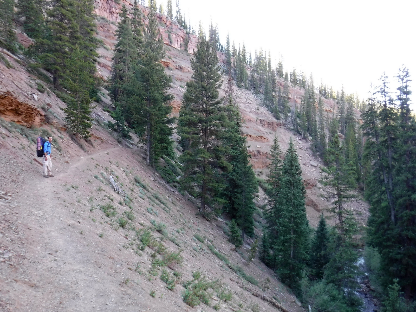
Best Trail
Little Hole National Recreation Trail runs 7.2 miles along the Green River from the Flaming Gorge Spillway to the Little Hole boat ramp. Canyon Rim Trail starts at the Red Canyon Overlook and follows the canyon rim for 1.5 miles before cutting three miles towards the Greendale Overlook.
Instagram-worthy Photo
The Flaming Gorge Dam stands 502 feet high and is crossed by Highway 191 on the Flaming Gorge-Uinta Scenic Byway, as is beautiful Cart Creek Bridge.

Peak Season
Summer
Fees
Every boat launch and day-use area requires a recreation pass ($5 per day, $15 per week, or America the Beautiful pass), but there is no fee to drive the Flaming Gorge-Uinta Scenic Byway or across the dam.
Road Conditions
The 82-mile long Flaming Gorge-Uinta Scenic Byway is paved the whole way, but there are many unpaved roads including popular Red Canyon and Sheep Creek National Geological Area. Access roads to boat ramps at Lucerne Valley, Antelope Flat, Cedar Springs, Mustang Ridge, Buckboard Crossing, and Firehole Canyon are paved.
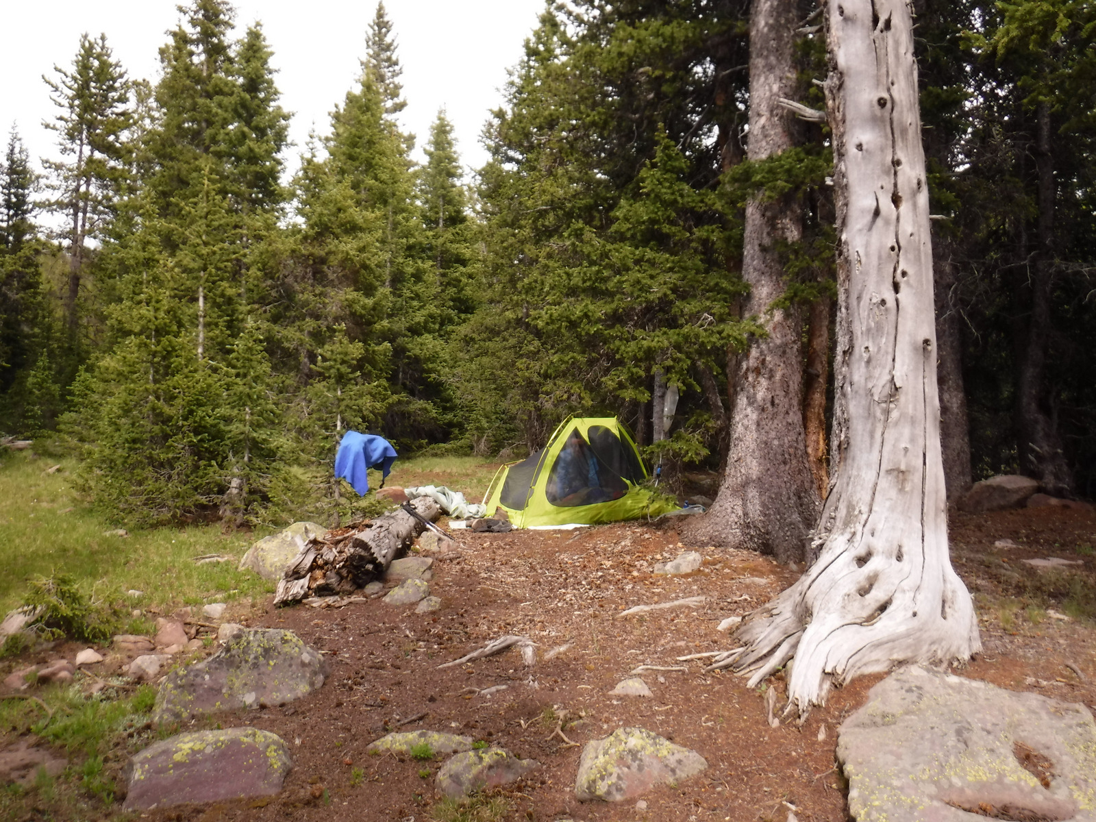
Camping
There are numerous campgrounds on and off the lake, mostly open May to September, although Dripping Springs is open year round.
Related Sites
Canyonlands National Park (Utah)
Glen Canyon National Recreation Area (Arizona-Utah)
Lake Mead National Recreation Area (Nevada-Arizona)
Nearest National Park
Arches (Utah)


Explore More – When was the Flaming Gorge Dam completed?