Flathead National Forest
Montana
Managed by U.S. Forest Service, Northern Region
2,628,720 acres (2,404,925 federal/ 223,795 other)
Website: https://www.fs.usda.gov/flathead
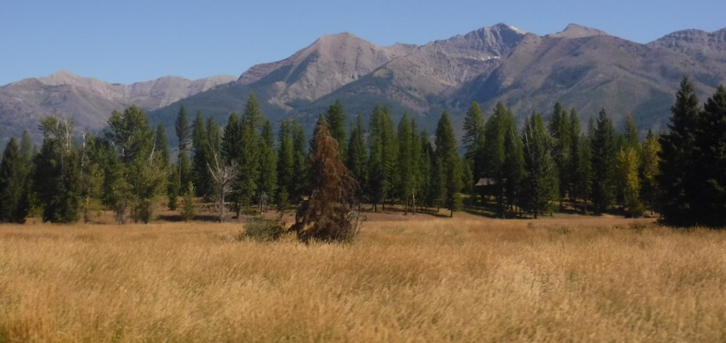
Overview
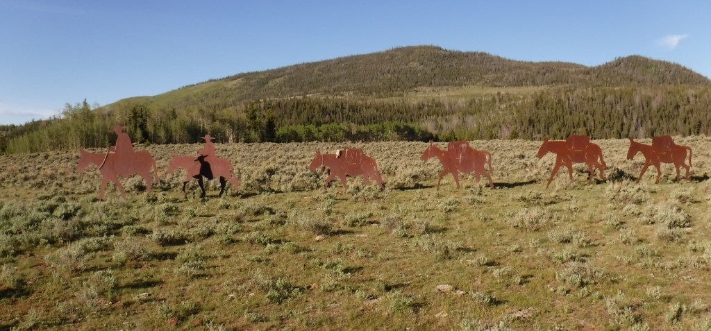
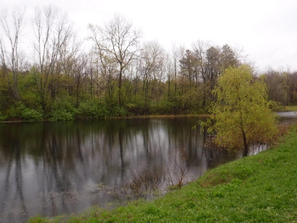
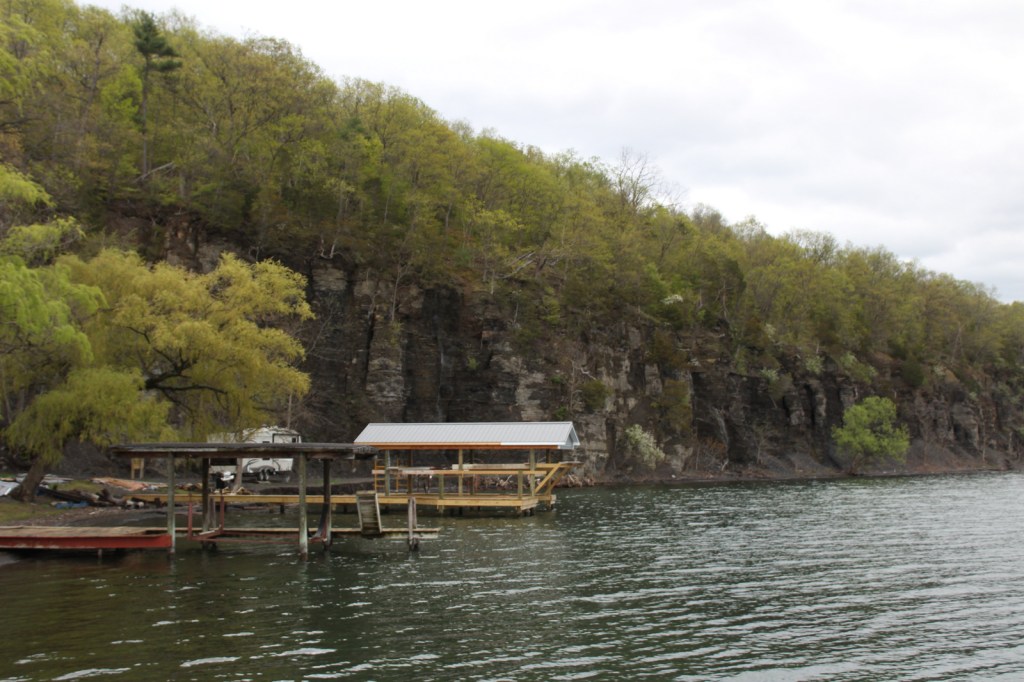
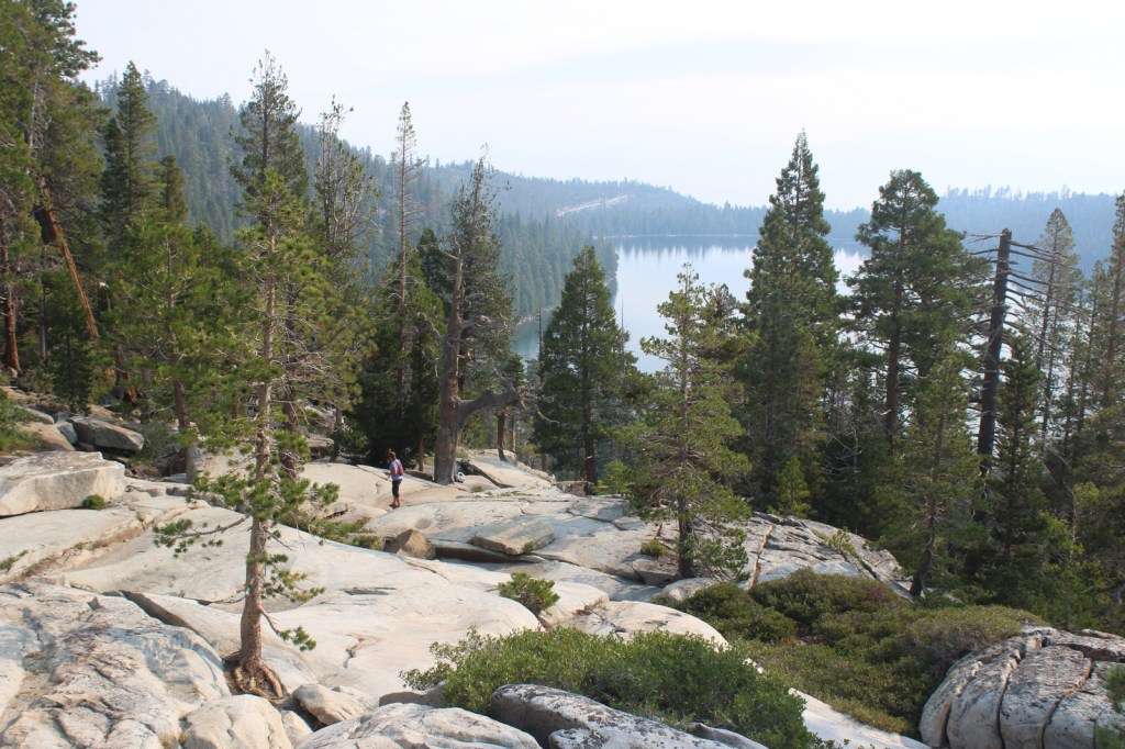
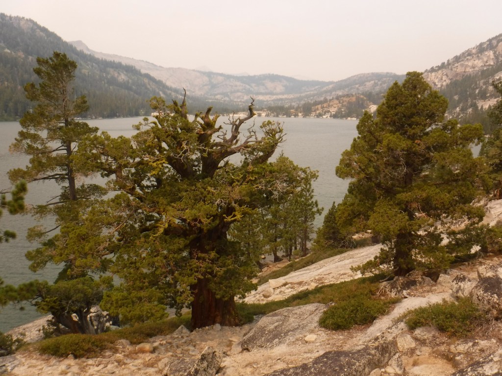
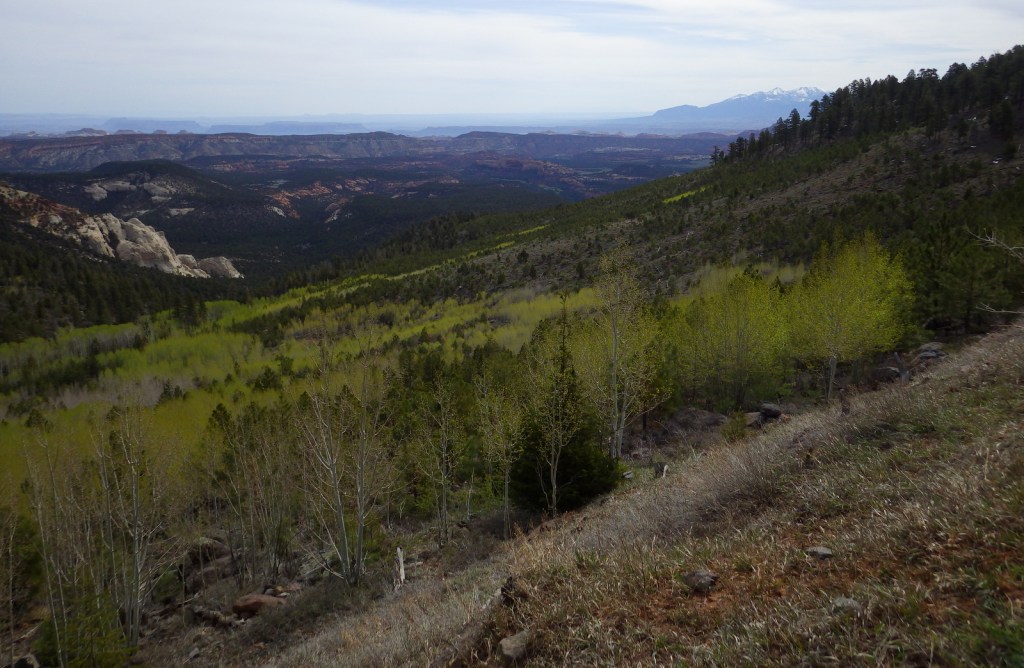
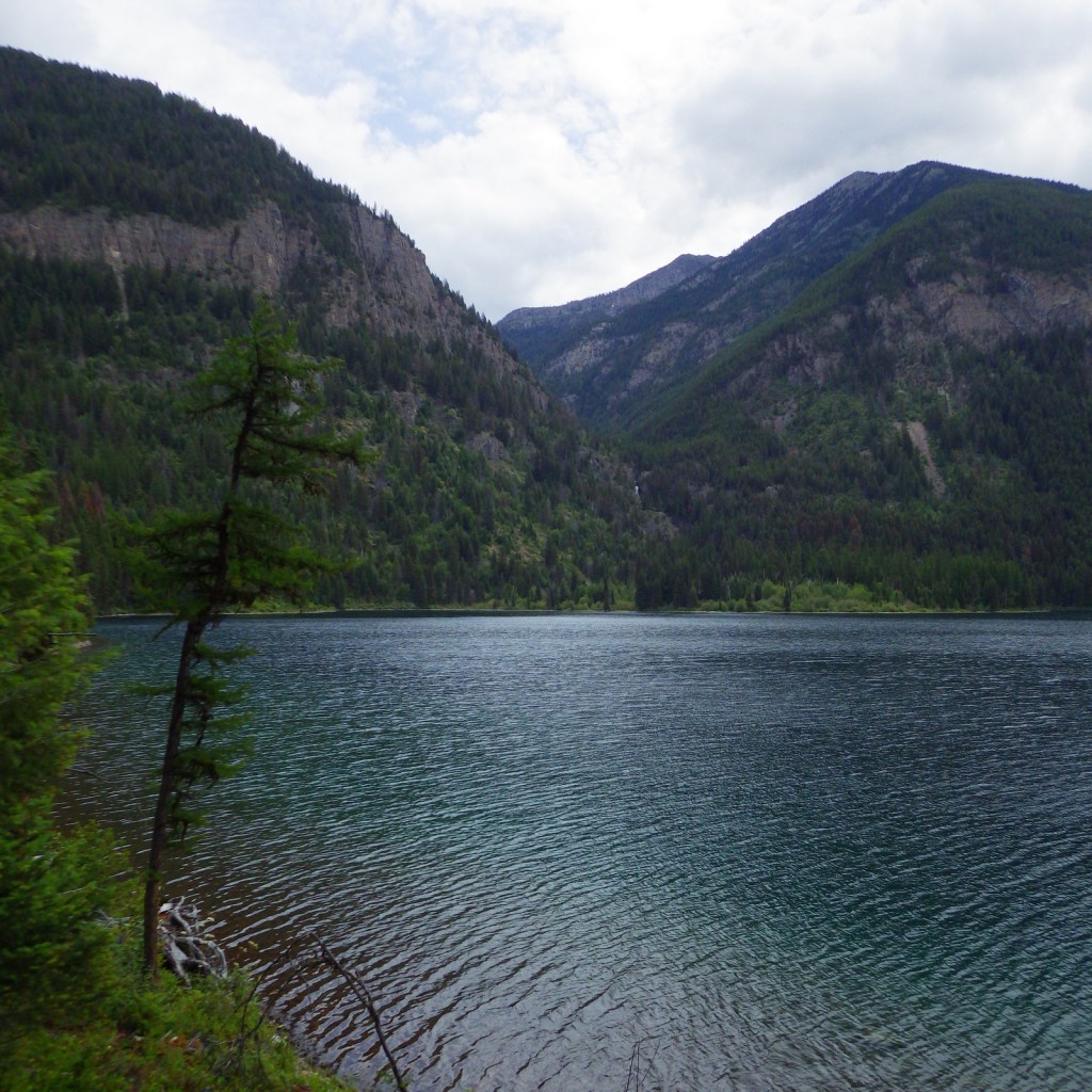
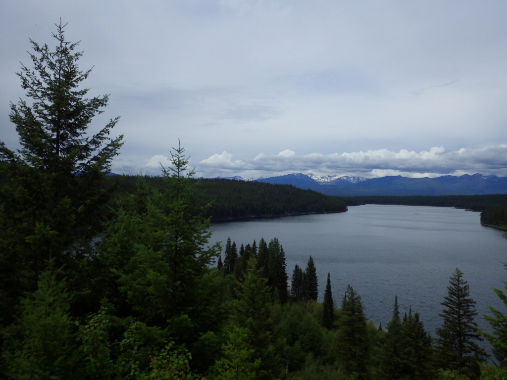
Flathead National Forest borders the entire south and west sides of Glacier National Park, providing important wildlife habitat in the Great Bear and Bob Marshall Wilderness areas. It also borders the Flathead Indian Reservation, with the Mission Mountains Tribal Wilderness neighboring the beautiful Mission Mountains Wilderness (see Best Trail). Flathead National Forest is known for great hiking and backpacking, especially from trailheads off Highway 83 east of Flathead Lake. The National Forest contains most of the extensive Flathead National Wild and Scenic River, with the South Fork known for one particular four-mile stretch of rapids up to Class V. The 564-foot-tall Hungry Horse Dam created a 34-mile-long reservoir with many boat ramps and campgrounds.

Highlights
Hungry Horse Reservoir, Holland Lake, Martin Falls, Glacier Lake, Big Salmon Falls, Flathead National Wild and Scenic River, Coram Experimental Forest, Jewel Basin, Danny On Memorial National Recreation Trail, Pacific Northwest National Scenic Trail, Continental Divide National Scenic Trail
Must-Do Activity
Near the town of Kalispell, Jewel Basin Hiking Area (stock prohibited) is famous among backpackers, but further south so is Holland Lake. Several campgrounds surround the lake, including the free Owl Creek Packer Camp used by stock trailers. From there the steep Holland-Gordon Trail climbs 2,100 feet in 5.8 miles one-way to Upper Holland Lake and continues into “the Bob” (Bob Marshall Wilderness). A shorter option is a 3.2 mile-roundtrip that ascends only 550 feet to pretty Holland Falls.
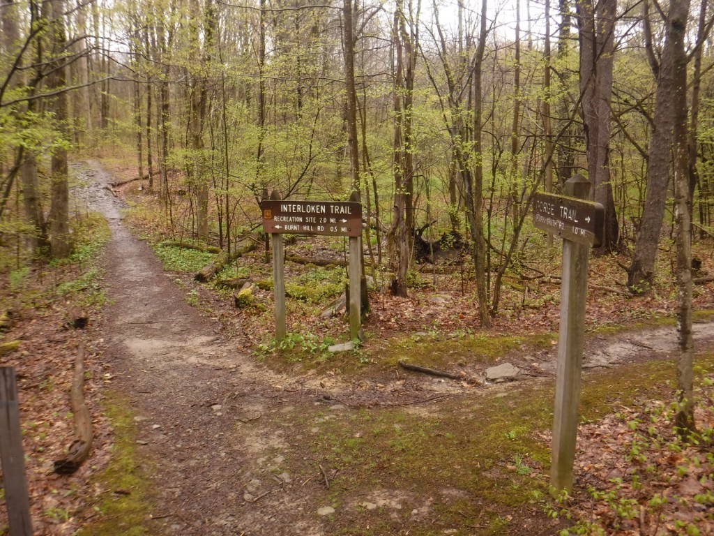
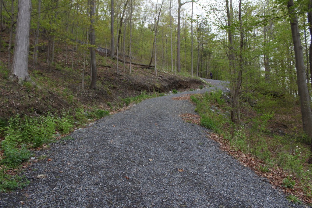
Best Trail
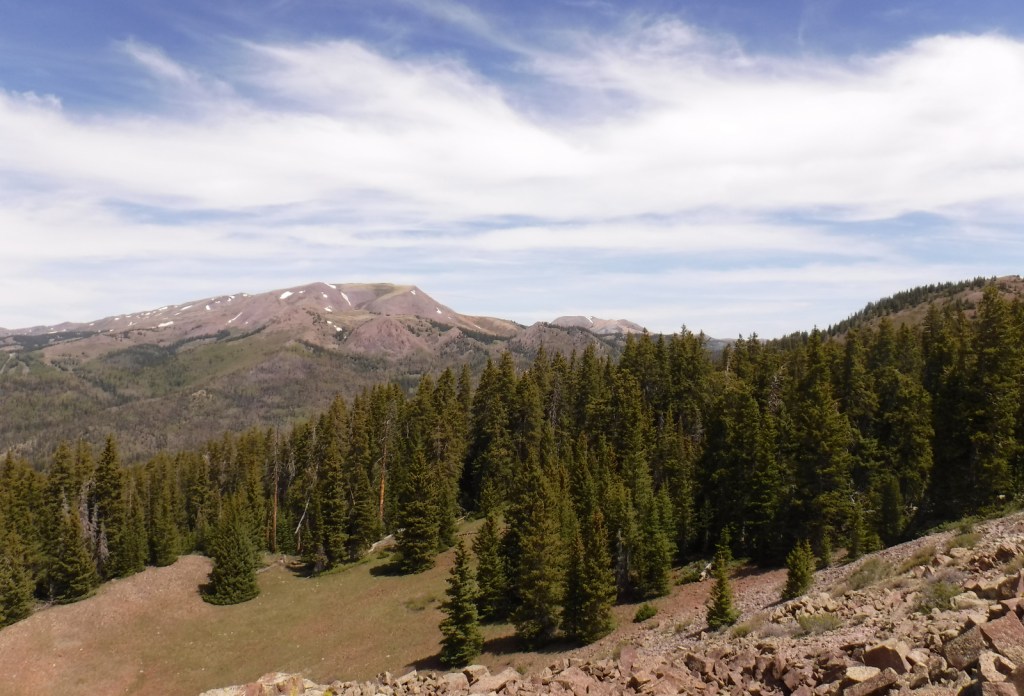
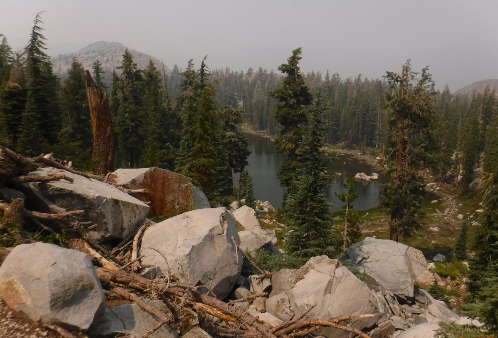
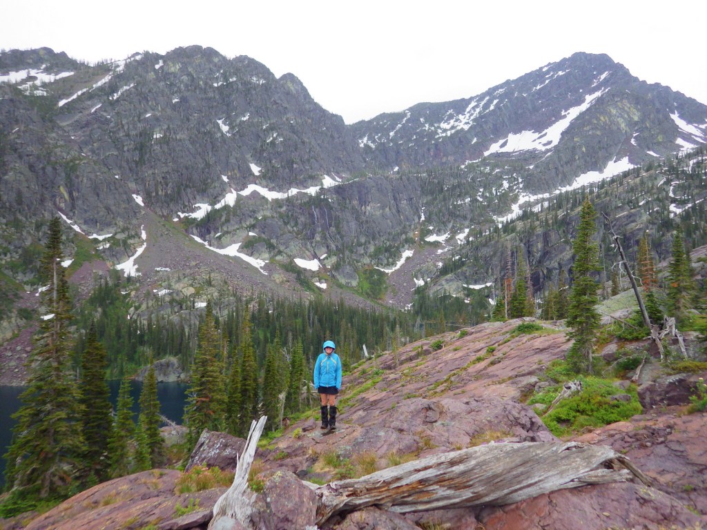
Flathead National Forest contains more than 2,800 miles of hiking trails, including 38 miles of the Pacific Northwest National Scenic Trail and a shorter stretch of the Continental Divide National Scenic Trail (which is mostly to the east in Lewis and Clark National Forest). Accessible from Highway 83 in the southwest corner of Flathead National Forest is Glacier Lake Trailhead. A long, good dirt road leads to the edge of the Mission Mountains Wilderness and a popular trail that accesses multiple mountain lakes. It is only 1.5 miles one-way to Glacier Lake, but we continued on to Turquoise Lake for an 11.6-mile out-and-back hike with a cumulative elevation gain of 2,460 feet. Both destinations are great for backpacking with stunning alpine scenery, but keep in mind that this is grizzly bear country and come prepared.
Watchable Wildlife
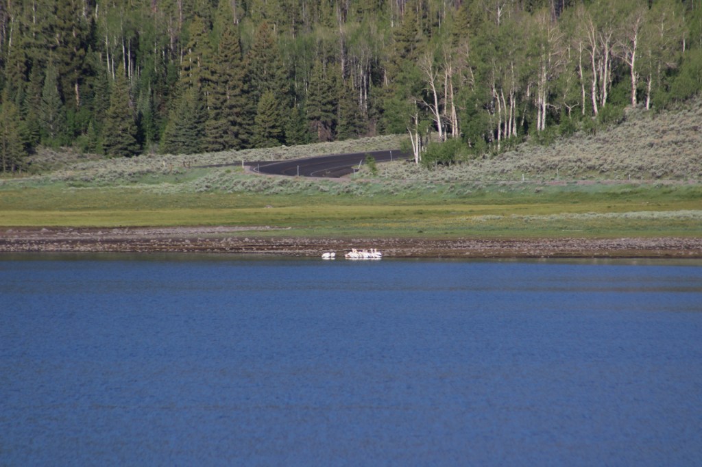
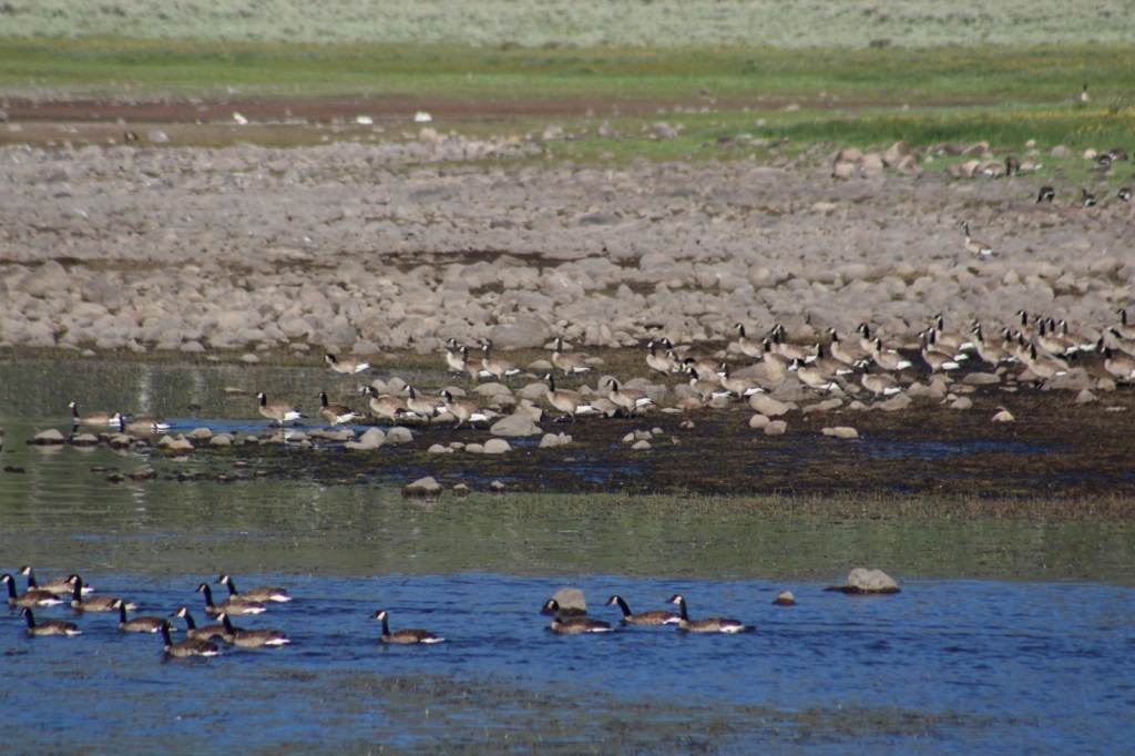
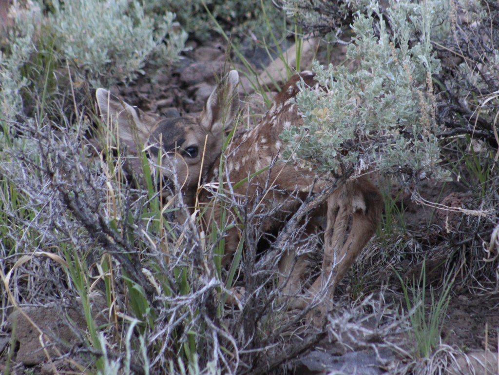
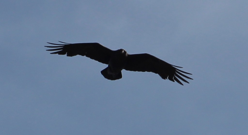
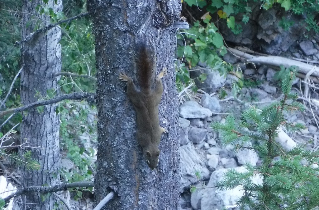
The most talked about species of wildlife found here is the grizzly bear, whose population primarily resides in the 1.5-million-acre Bob Marshall-Great Bear-Scapegoat Wilderness complex. Other large mammals include black bear, Canada lynx, bobcat, mountain lion, coyote, wolverine, and beaver, as well as ungulates like moose, elk, mountain goat, bighorn sheep, and white-tailed deer. Prominent birds include bald eagles, ospreys, ruffed grouse, dusky grouse, white pelicans, and trumpeter swans. Fishermen are drawn to the lakes and rivers for a variety of species, including the bull trout.
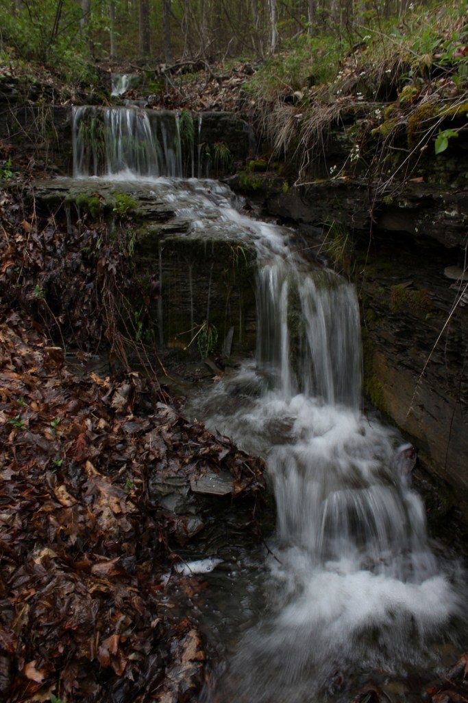
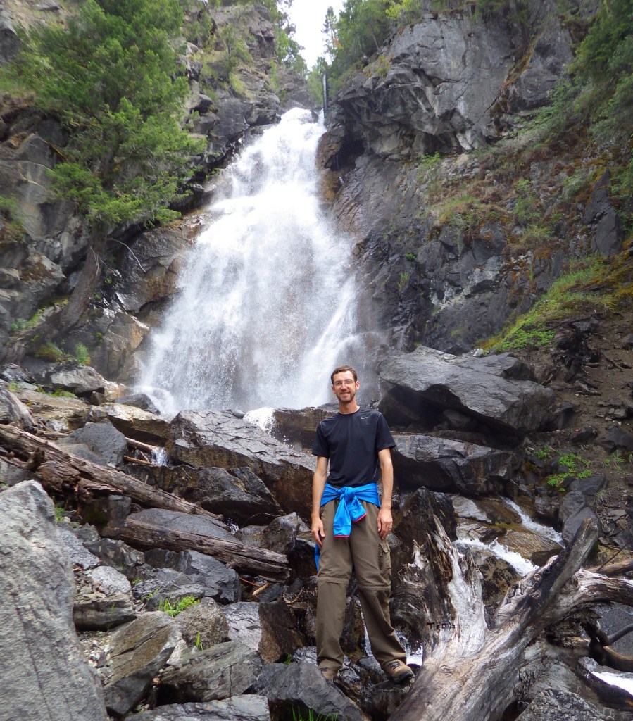
Instagram-worthy Photo
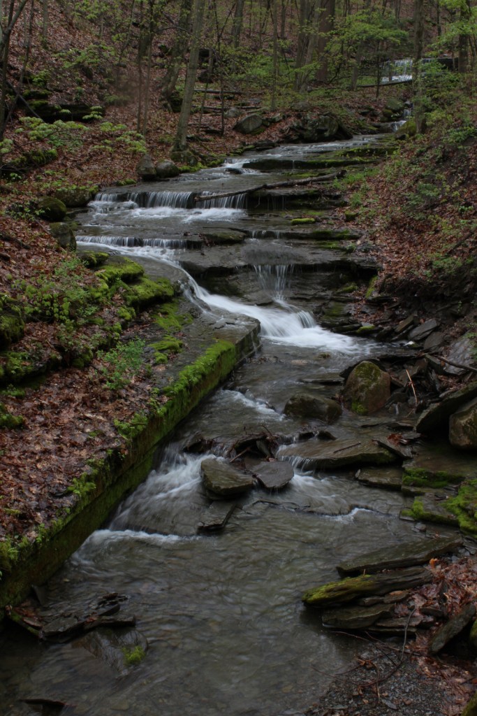
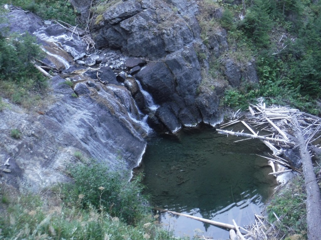
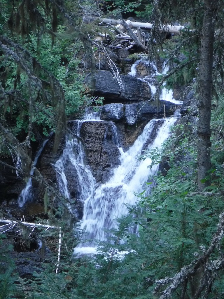
The steep terrain on the western flank of the Bob Marshall Wilderness creates numerous waterfalls, such as Barrier, Big Salmon, Dean, and Needle Falls. Holland Falls is a short 3.2-mile roundtrip hike that ascends only 550 feet from Holland Lake.
Peak Season
Summer
Fees
None?
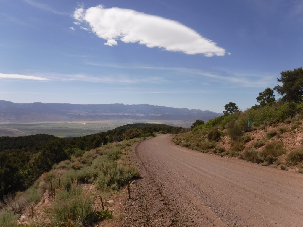
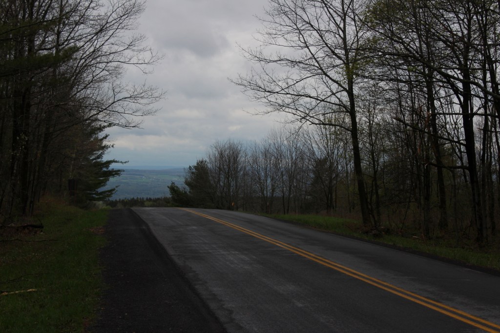
Road Conditions
The National Forest contains 1,700 miles of roads, so there are probably some rough ones out there, but we never had a problem accessing the major trailheads in a passenger vehicle.
Camping
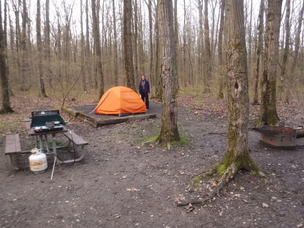
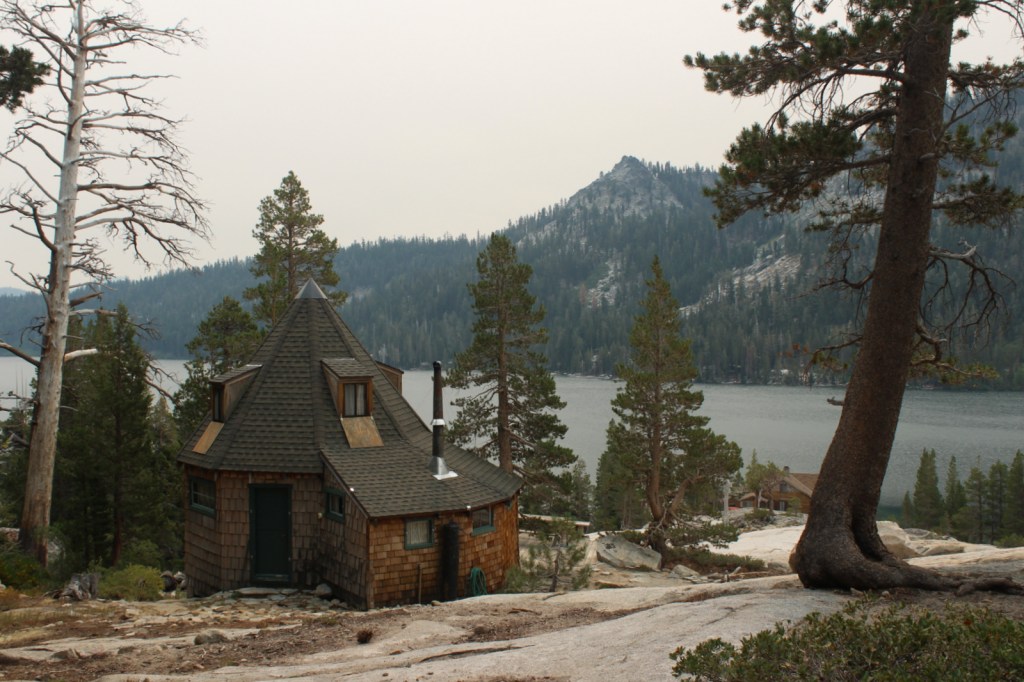
Flathead National Forest has 31 campgrounds and 14 cabins available for rent. Several campgrounds surround Hungry Horse Reservoir and Holland Lake, including the free Owl Creek Packer Camp used by stock trailers.
Wilderness Areas
Bob Marshall Wilderness (also in and Lewis and Clark National Forest)
Great Bear Wilderness (also in Lewis and Clark National Forest)
Mission Mountains Wilderness
Related Sites
Lolo National Forest (Montana)
Grant-Kohrs Ranch National Historic Site (Montana)
Nez Perce National Historical Park (Idaho-Oregon-Washington-Montana)
Nearest National Park


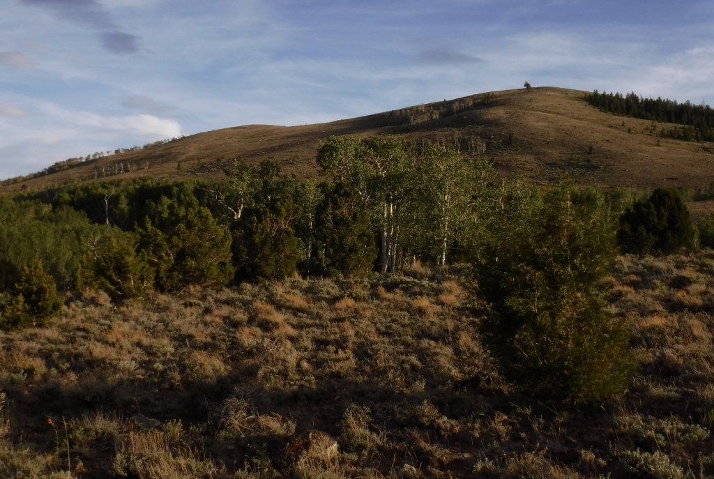
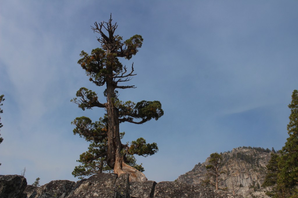
ponderosa pine, lodgepole pine, whitebark pine, Douglas-fir, Engelmann spruce, subalpine fir, western larch, alpine larch
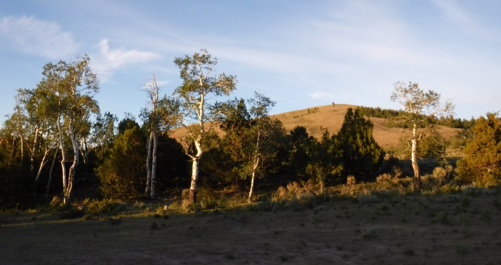
quaking aspen, paper birch, sagebrush
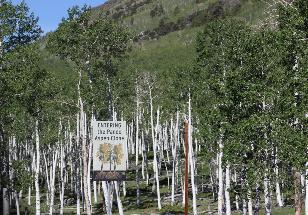
Explore More – Coram Experimental Forest is an 800-acre area managed for what commercial tree species?

Learn more about this and the 154 other National Forests in our new guidebook Out in the Woods
We are a participant in the Amazon Services LLC Associates Program, an affiliate advertising program designed to provide a means for us to earn fees by linking to Amazon.com and affiliated sites.