Tag Archives: horseback riding

Kisatchie National Forest

Kisatchie National Forest

Louisiana

Managed by U.S. Forest Service, Southern Region

1,022,373 acres (603,360 federal/ 419,013 other)

Website: https://www.fs.usda.gov/kisatchie

Overview

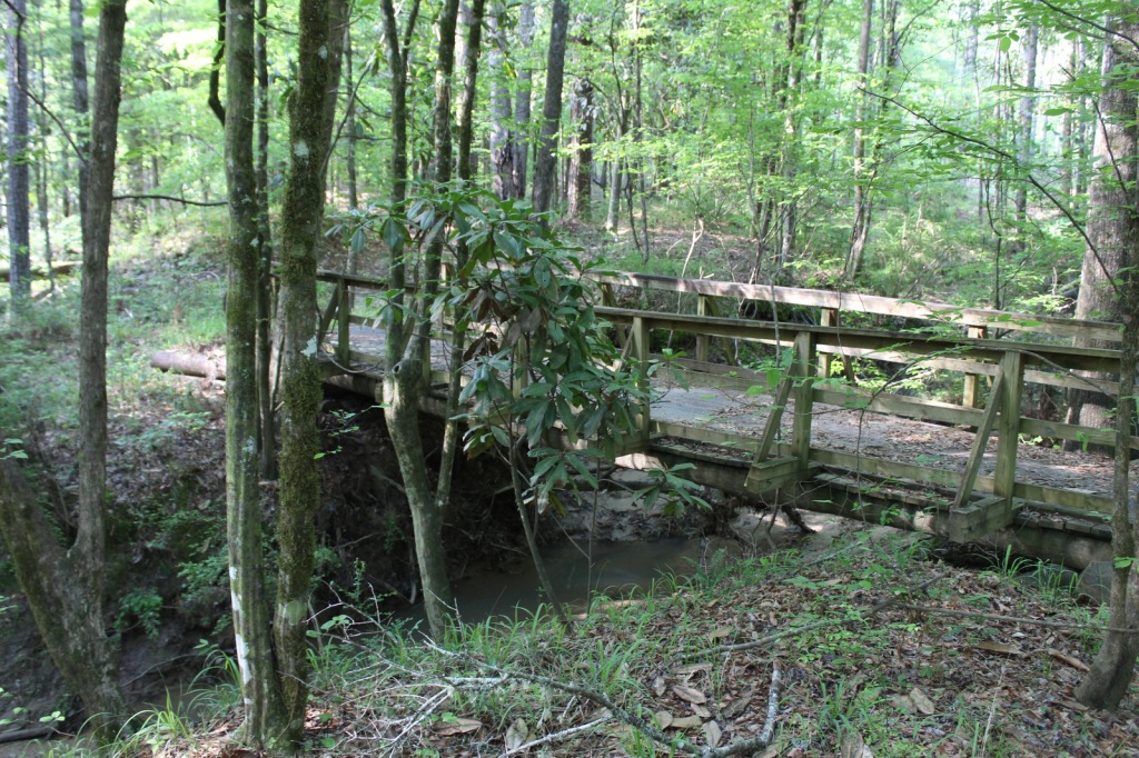
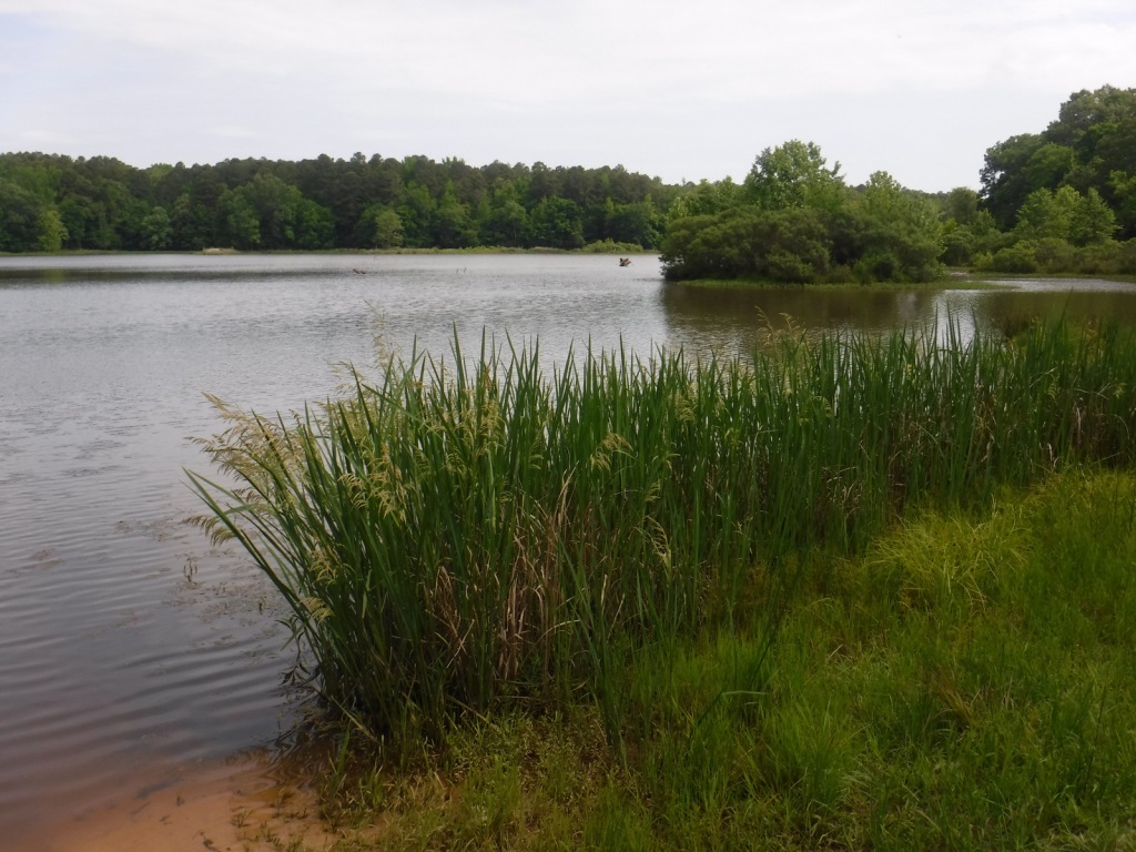
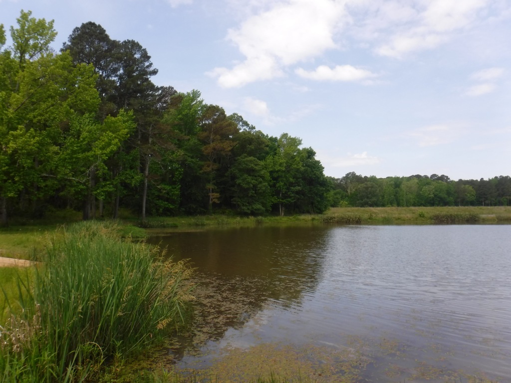
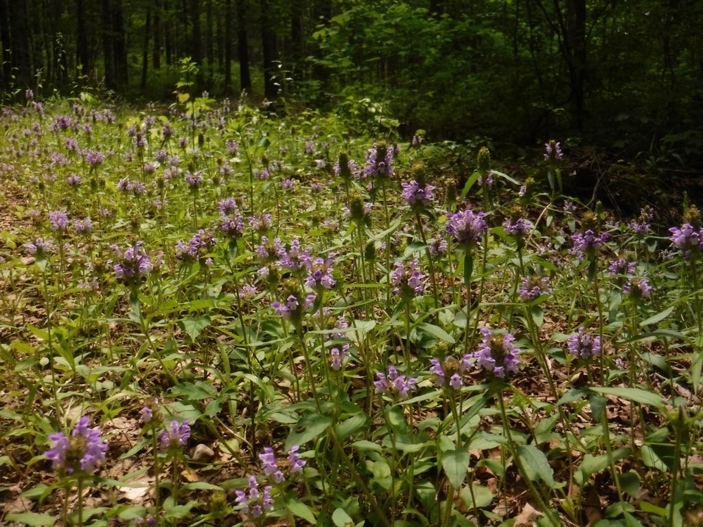
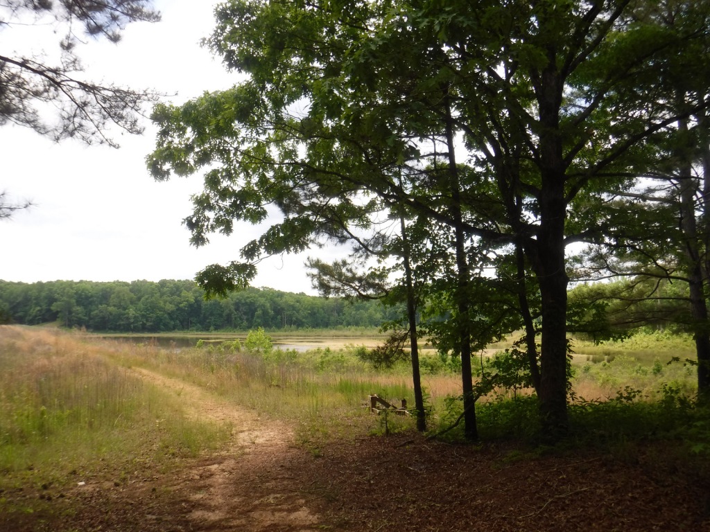
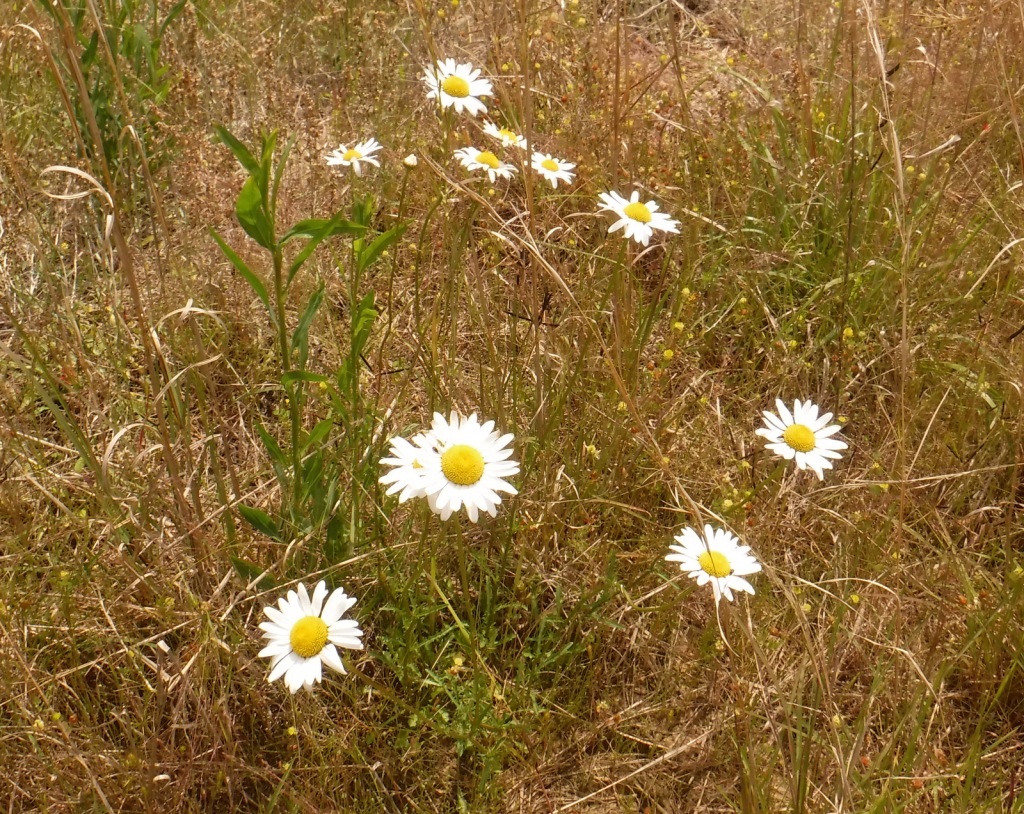
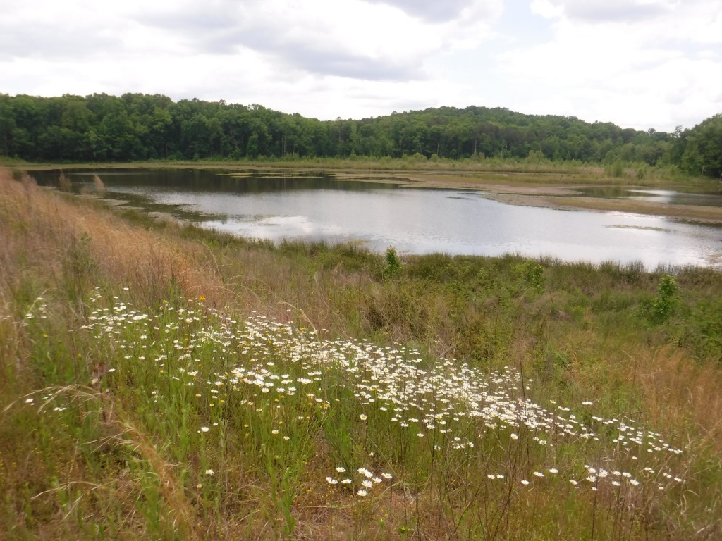
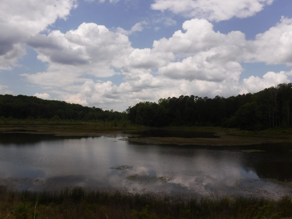
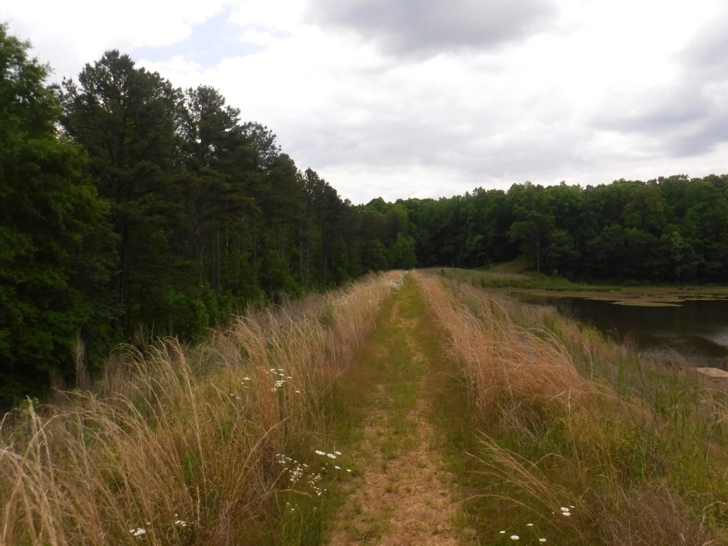
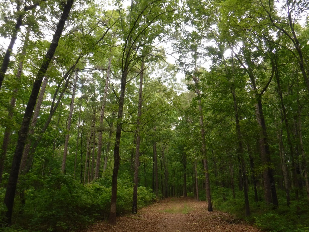
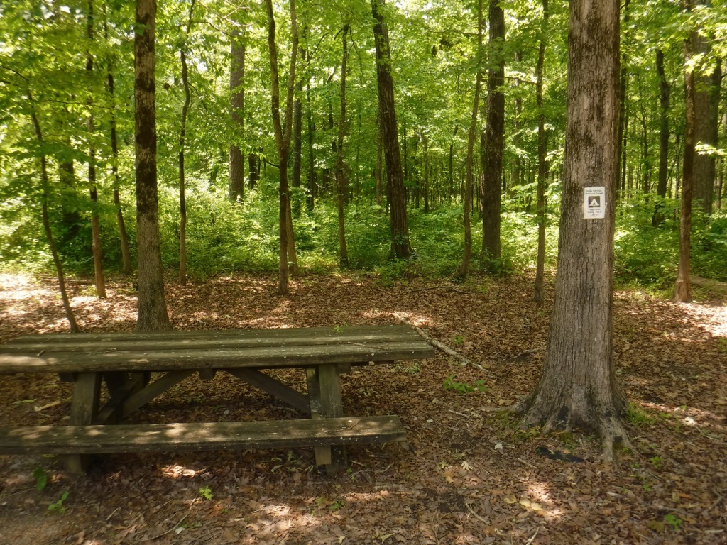
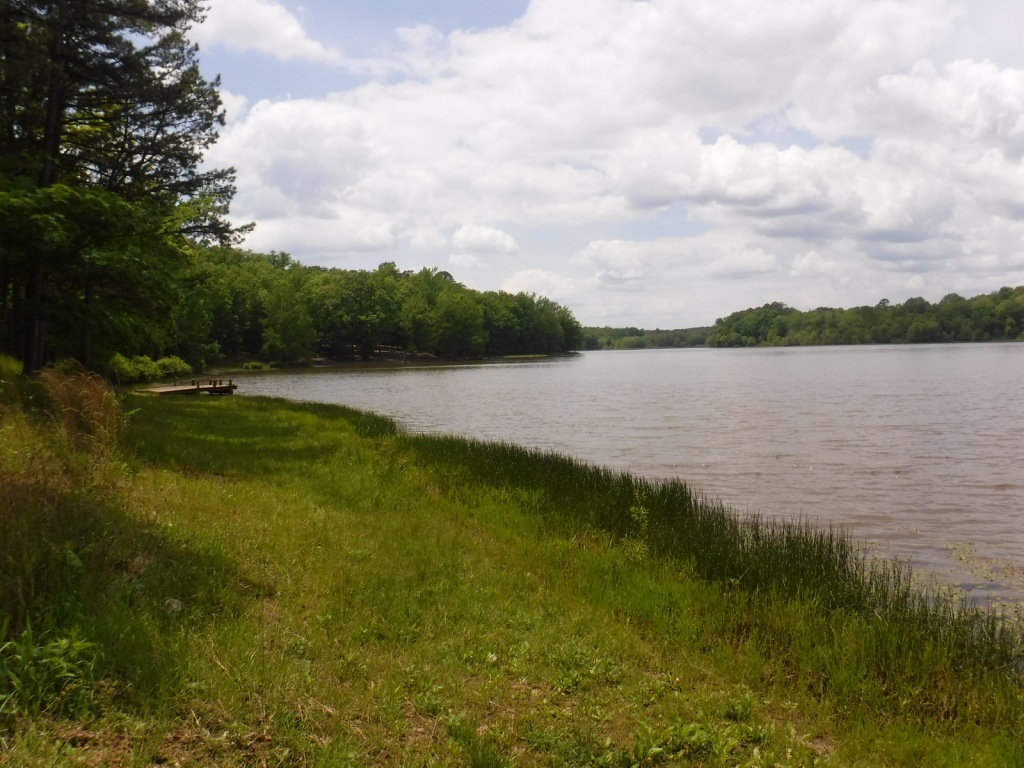
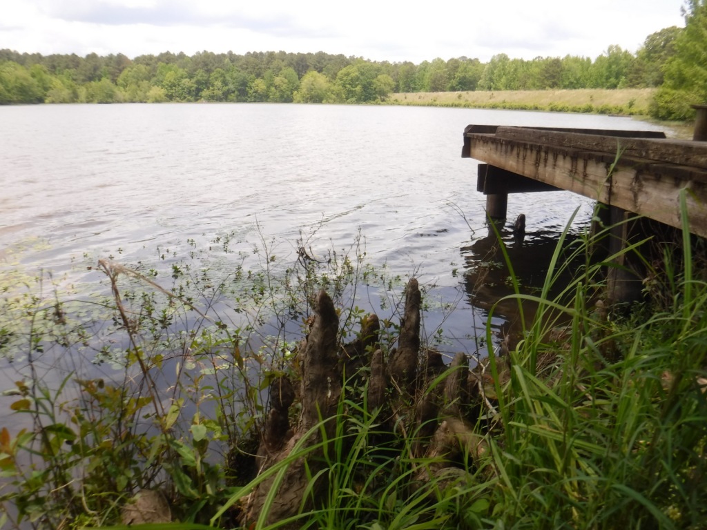
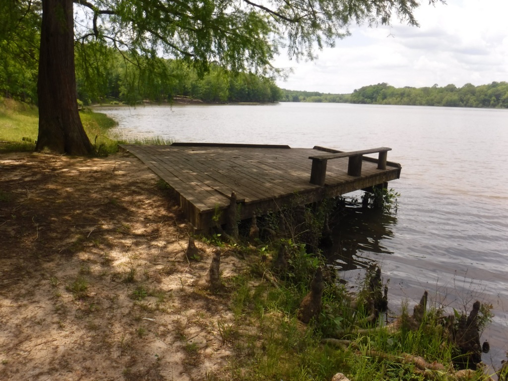
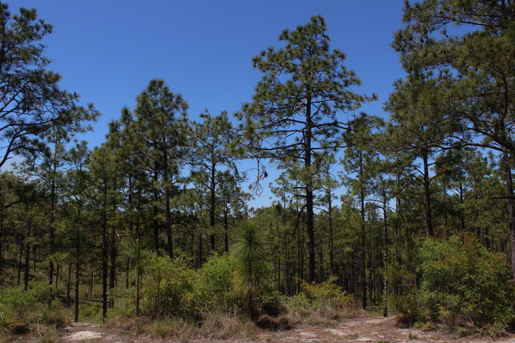
There are eight parcels that constitute Kisatchie National Forest, the only National Forest in Louisiana, which has over 40 developed recreation sites and 100 miles of trails.  It encompasses several lakes for boating and swimming, plus baldcypress-lined bayous for canoeing and fishing.  The National Forest protects some of the state’s last acreage of calcareous prairie and a diversity of plant species, including wild orchids and carnivorous plants. We saw a television news report that somewhere in Kisatchie National Forest they grew a loblolly pine tree from a seed that NASA took to the moon (which grew normally), then planted a comparison tree that was accidentally a different species.

Highlights

Longleaf Trail Scenic Byway, Saline Bayou, Fullerton Lake, Gum Springs Recreation Area, Kincaid Lake, Wolf Rock Cave, Castor Creek Scenic Area, Corney Lake, Camp Packard, Wild Azalea National Recreation Trail, Glenn Emery Trail, Stuart Nature Trail, Longleaf Vista Interpretive Trail, Sugar Cane National Recreation Trail

Must-Do Activity

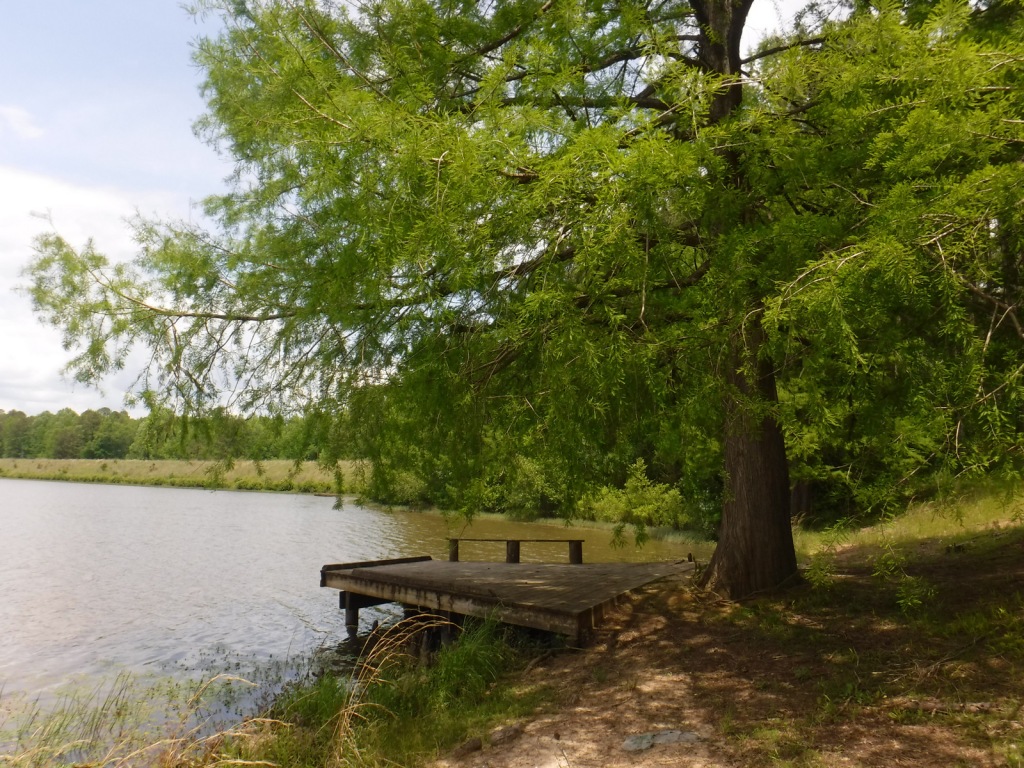
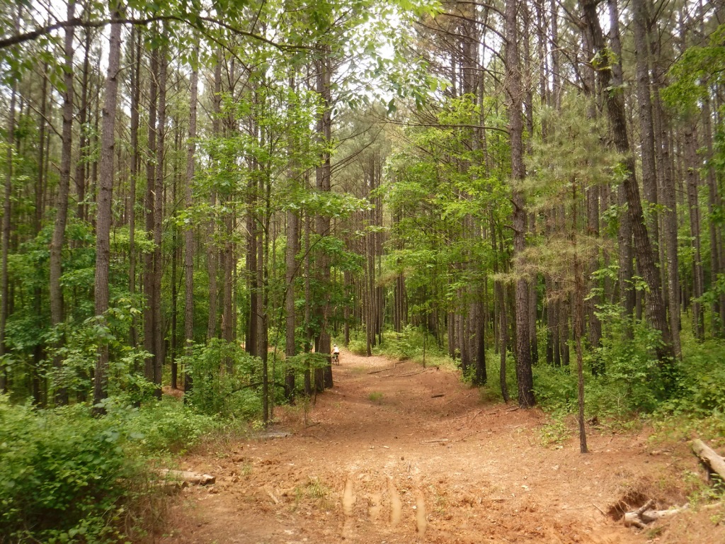
Kisatchie National Forest is divided into five Ranger Districts: Caney, Calcasieu, Catahoula, Kisatchie, and Winn.  In Winn Ranger District, Saline Bayou is a National Wild and Scenic River featuring a 13-mile-long designated water trail.  Boating, fishing, and camping are also popular activities at the developed recreation areas at Caney Lake, Corney Lake, Kincaid Lake, Kisatchie Bayou, and Stuart Lake.  Calcasieu is the southernmost Ranger District and contains the state’s longest trail (31-mile Wild Azalea Trail) and the only known cave in Louisiana (Wolf Rock Cave) off Parish Road 455.

Best Trail

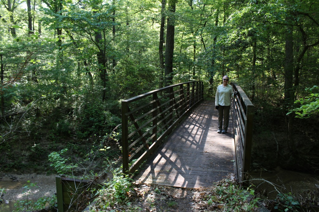
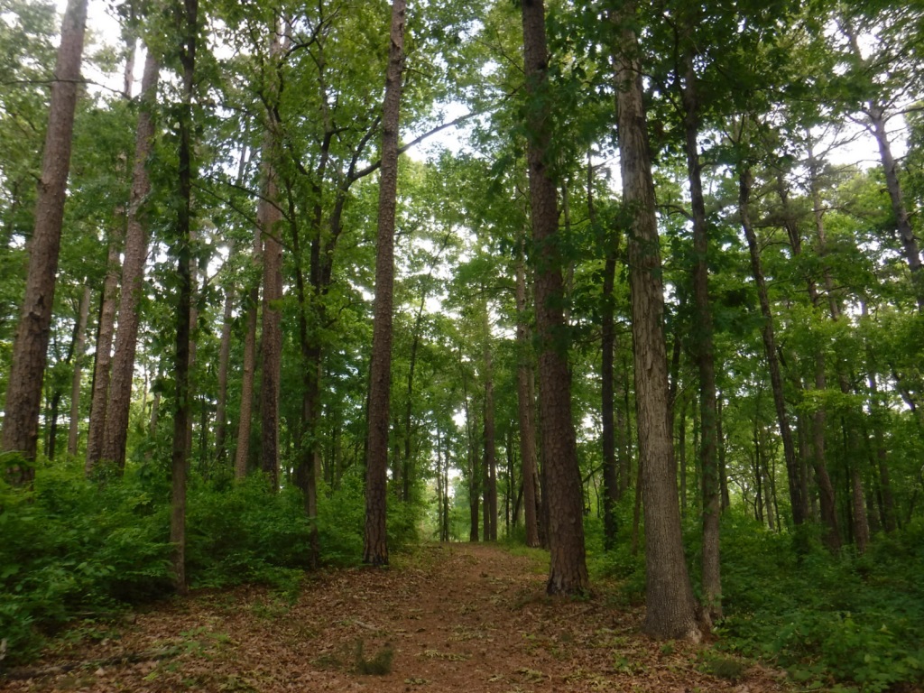
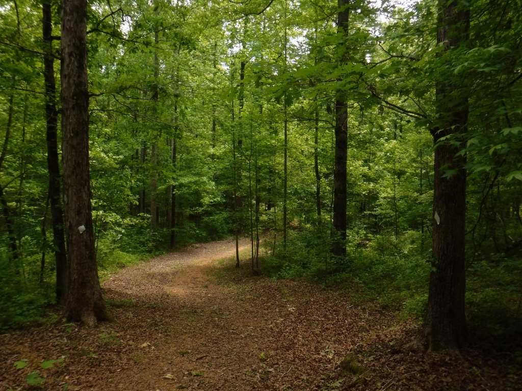
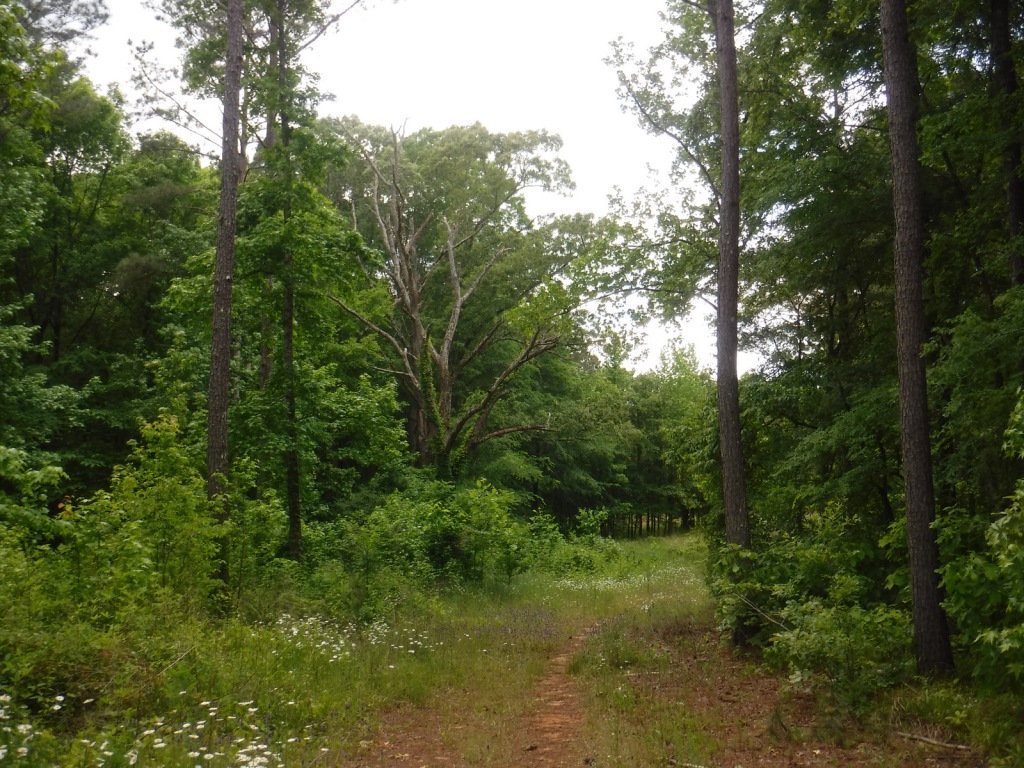
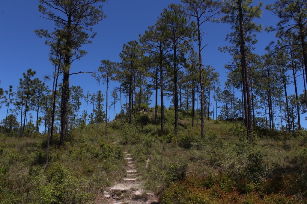
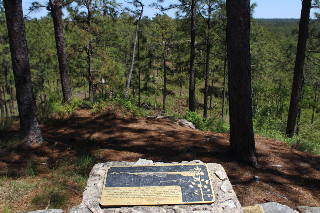
In Kisatchie Ranger District’s Longleaf Scenic Area, a 1.5-mile-long interpretive loop at Longleaf Vista is a good place to start, since it has signs that introduce plants that inhabit ecosystems from rocky buttes to bottomland hardwood forests.  Longer trails like the seven-mile Backbone Trail and 10.5-mile Caroline Dorman Trail enter the Kisatchie Hills Wilderness, an 8,700-acre area that is one of only three designated Wildernesses in Louisiana.

Watchable Wildlife

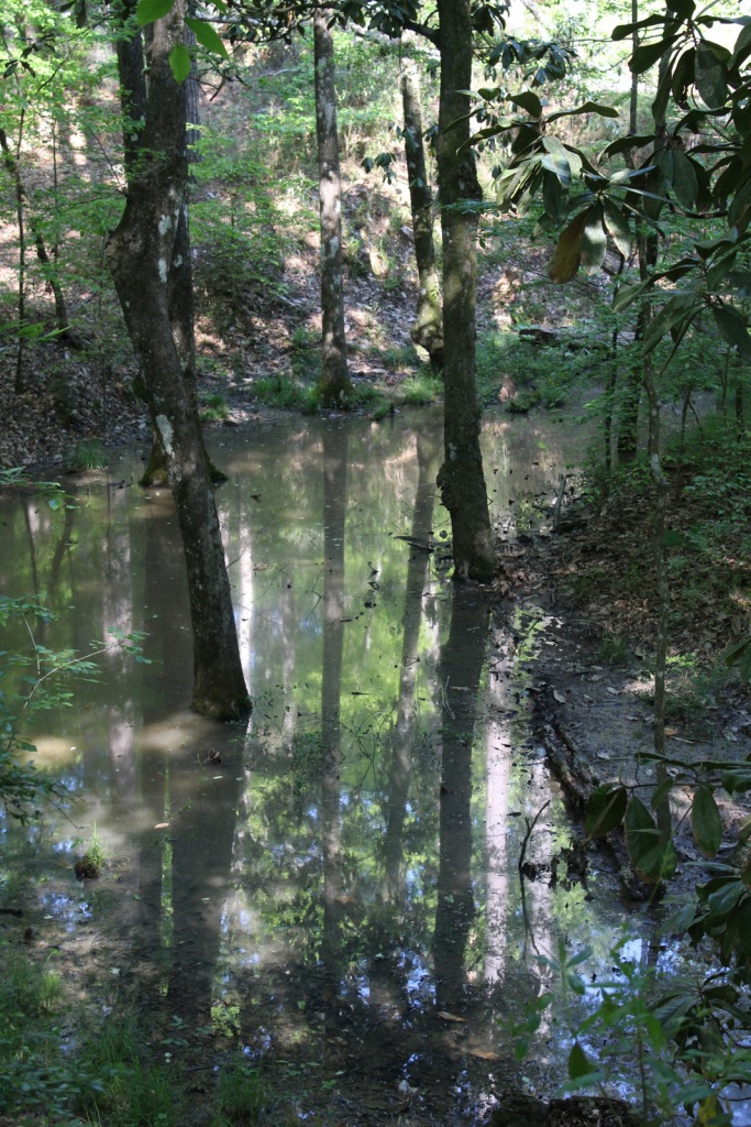
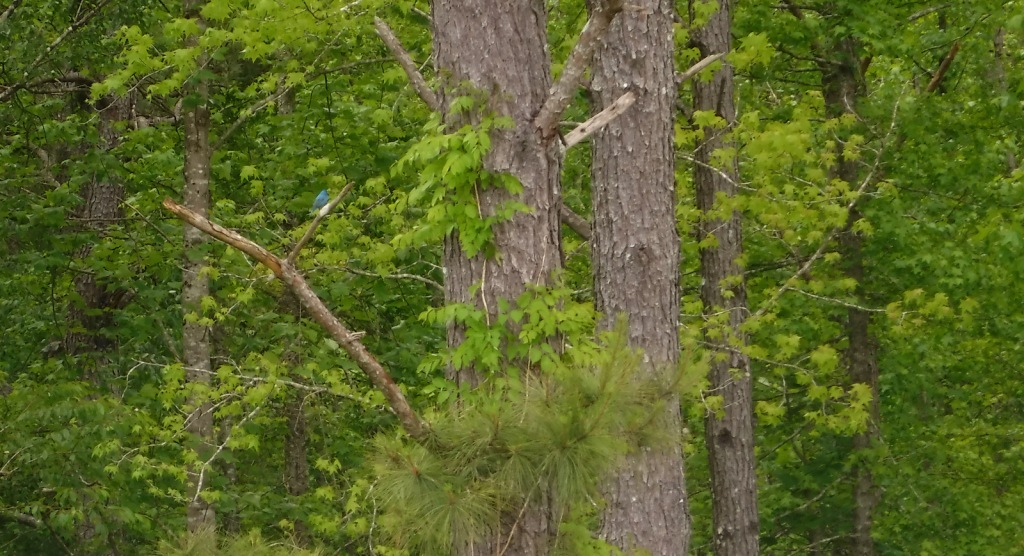
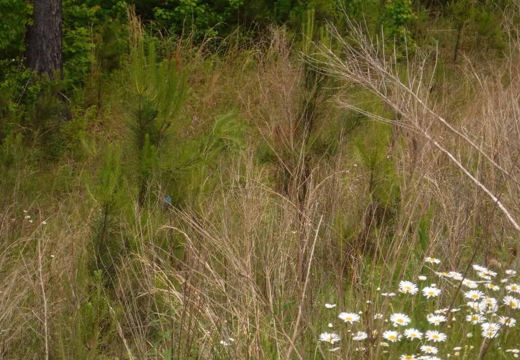
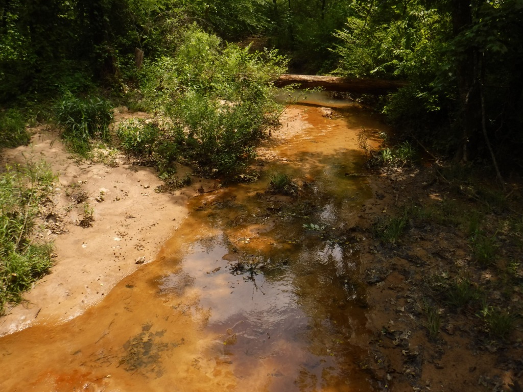
Old-growth longleaf pine forests provide habitat for endangered red-cockaded woodpeckers, areas that are easily identified by white paint markings on boundary trees.  We also saw an armadillo and wild turkey in the Longleaf Scenic Area.  Other rare species of management concern are the Louisiana pine snake, black bear, and Louisiana pearlshell mussel.  We saw signs warning of alligators, so if you do enter the water be aware of that, especially in the roadless Cunningham Brake and Saline Bayou.  Winn Ranger District and Catahoula National Wildlife Refuge are popular destinations for fishermen and hunters of white-tailed deer, turkeys, and waterfowl.  The Catahoula Hummingbird and Butterfly Garden is located near the Catahoula Ranger District Office in Bentley.  Iatt Lake Observation Pier in the Catahoula Ranger District is a good place to watch for migratory birds in the spring and fall.

Photographic Opportunity

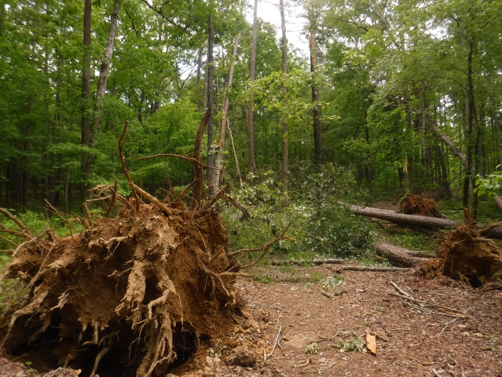
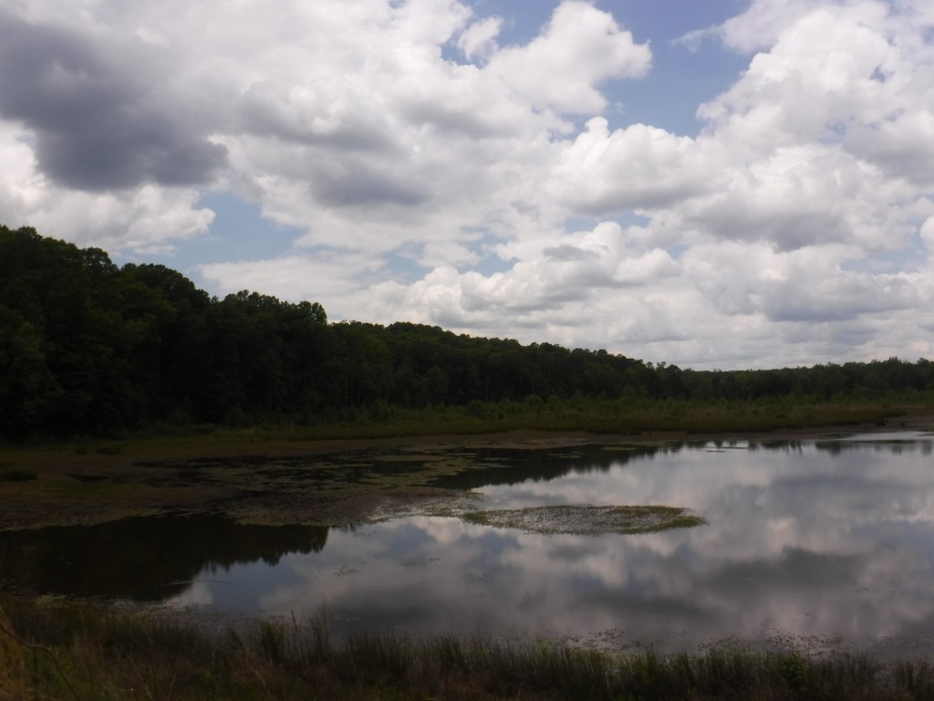
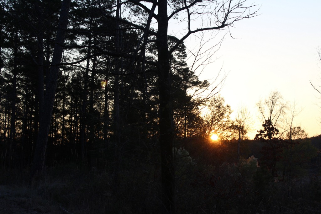
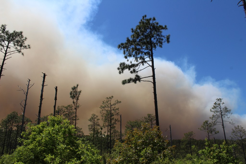
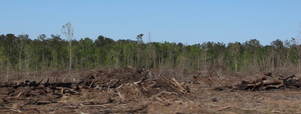
Louisiana is not known for its vertical topography, so it is worth stopping at Longleaf Vista Overlook for the panorama, though hopefully without the thick smoke we saw from a controlled burn.

Peak Season

Spring and fall

Fees

None

Road Conditions

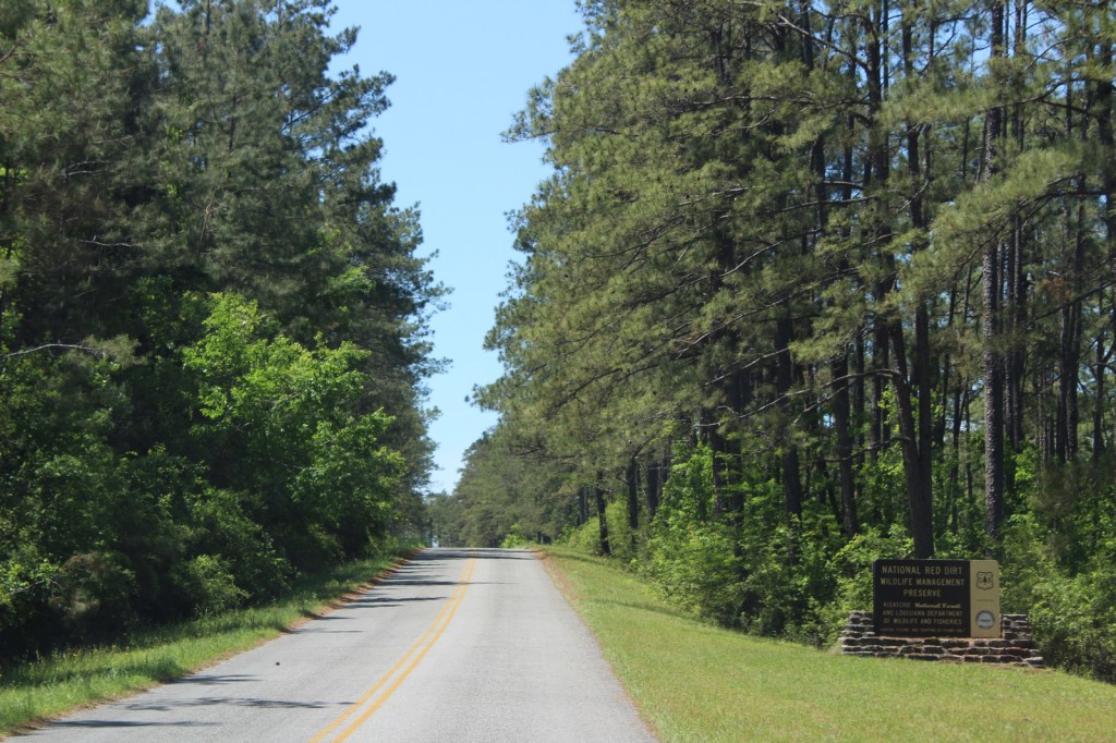
Longleaf Scenic Area is accessed by the paved 17-mile-long Longleaf Trail Scenic Byway, just off Interstate 49.  To the west of Longleaf Scenic Area, a plethora of roads run through the Red Dirt National Wildlife Management Preserve, accessing Kisatchie Bayou Recreation Area and numerous campgrounds and trails.  There are designated ATV trails in the Catahoula (at Stuart Lake) and Calcasieu Ranger Districts.

Camping

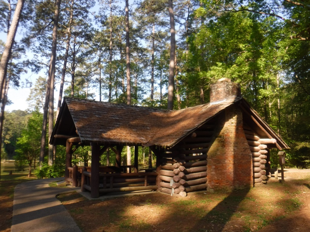
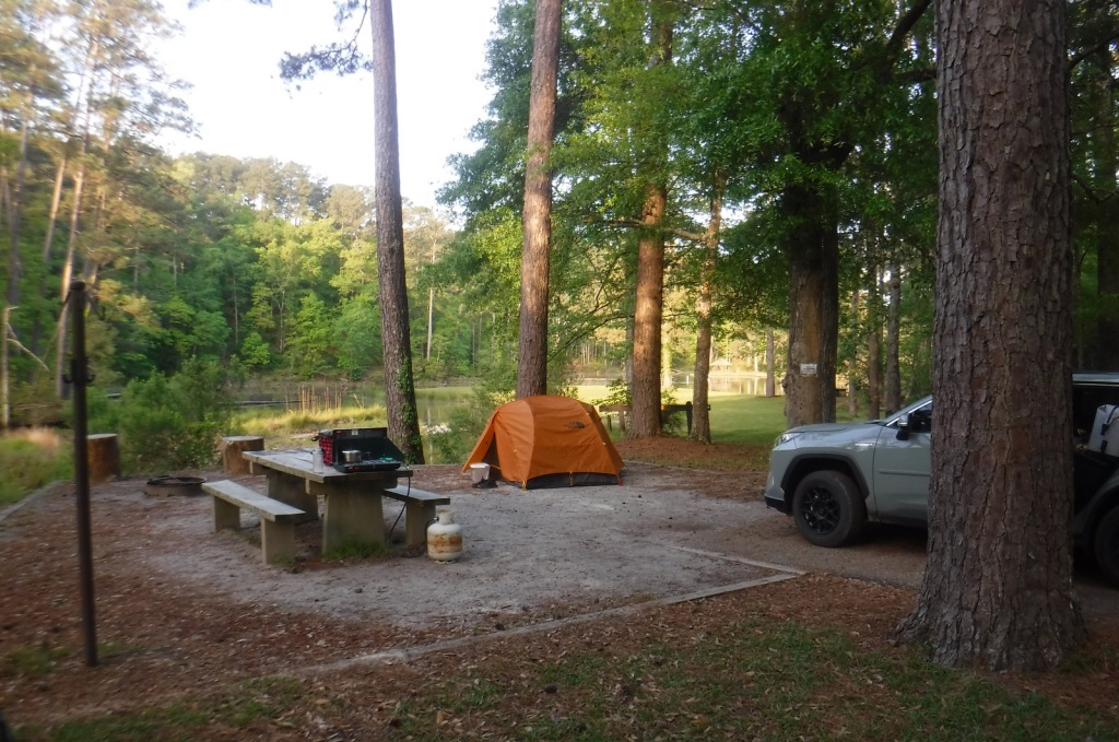
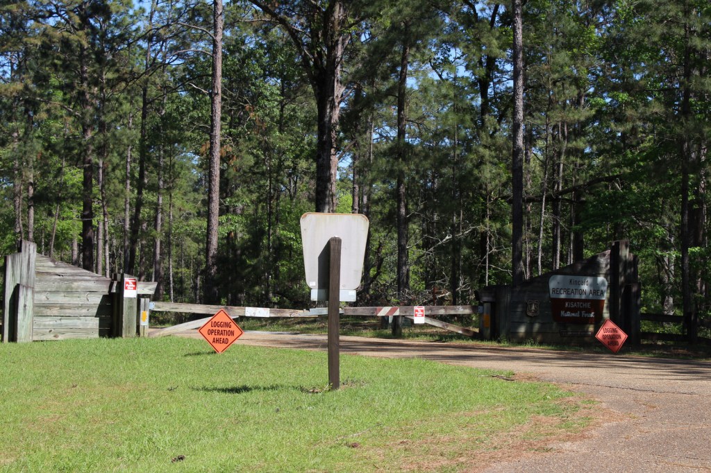
Official campgrounds are located throughout Kisatchie National Forest, including three at Kincaid Lake, two at Valentine Lake, three at Corney Lake, Stuart Lake Campground, Beaver Dam Campground on Upper Caney Lake, and Turtle Slide Campground on Lower Caney Lake.  Specific campgrounds for equestrian use include Amus Melder Camp in Calcasieu Ranger District and Gum Springs Recreation Area in Winn Ranger District.

Wilderness Areas

Kisatchie Hills Wilderness

Related Sites

Cane River Creole National Historical Park (Louisiana)

Poverty Point National Monument (Louisiana)

Jean Lafitte Historical Park and Preserve (Louisiana)

Nearest National Park

Hot Springs

Conifer Tree Species

baldcypress, longleaf pine, shortleaf pine, loblolly pine

Flowering Tree Species

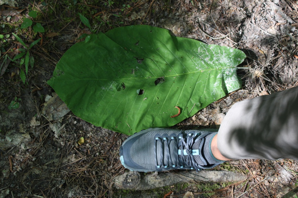
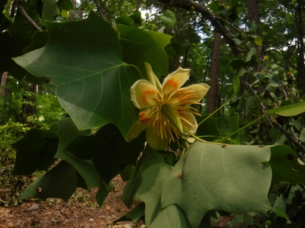
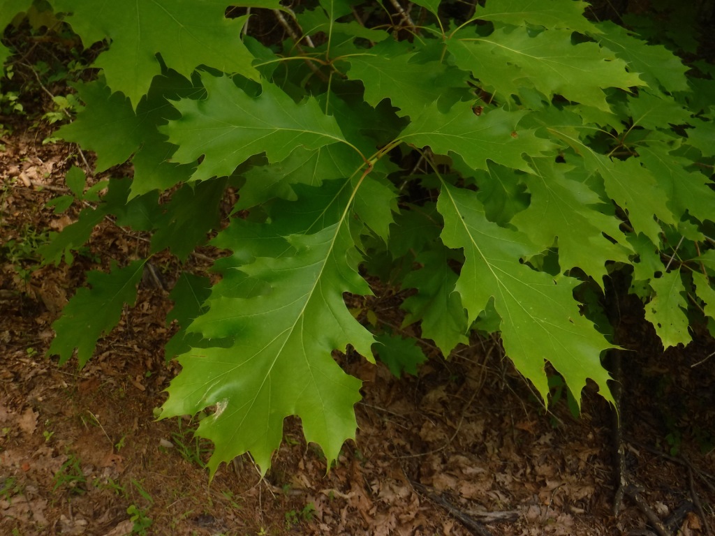
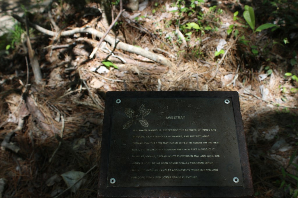
water tupelo, American beech, white oak, post oak, Shumard oak, white ash, mockernut hickory, nutmeg hickory, southern magnolia, flowering dogwood, redbud, red buckeye, red bay, fringe tree, chalk maple, wax myrtle, raisin tree, dahoon holly, yaupon holly, sweetbay magnolia, brookside alder

Explore More – How many acres of calcareous prairie remain in Louisiana, noting that Kisatchie National Forest’s historic Tancock Prairie (45 acres) and historic Bartram Prairie (1,190 acres) have been taken over by forests since the initial 1836 survey?

Learn more about this and the 154 other National Forests in our new guidebook Out in the Woods

We are a participan

Homochitto National Forest

Homochitto National Forest

Mississippi

Managed by U.S. Forest Service, Southern Region

373,497 acres (191,839 federal/ 181,658 other)

Website: https://www.fs.usda.gov/recarea/mississippi/recarea/?recid=28865

Overview

In southwest Mississippi, Homochitto National Forest is comprised of former cotton fields purchased and replanted with trees by the federal government in the 1930s.  It is named for the 90-mile-long Homochitto (“huh-mah-CHIT-ah”) River that runs through the forest on its way to the Mississippi River south of Natchez.  All six National Forests in Mississippi are managed as one administrative unit, including Bienville, De Soto, Delta, Holly Springs, Homochitto, and Tombigbee National Forests.  The Homochitto district ranger station is located in Meadville.

Highlights

Clear Springs Lake Recreation Area, Pipes Lake Recreation Area, Mt. Nebo Recreation Area, Stephenson Lookout Tower, Pellucid Bayou, Brushy Creek Loop, Tally’s Creek Trail, Richardson Creek Trail

Must-Do Activity

Homochitto National Forest has developed facilities at three small lakes: Clear Springs, Pipes, and Mt. Nebo.  A one-mile trail encircles scenic Clear Springs Lake, which has a picnic shelter built by the Civilian Conservation Corps (CCC) in 1935 listed on the National Register of Historic Places.  Elsewhere, Brushy Creek Loop is a 5.7-mile horse trail that is not recommended for hikers due to abundant mud and manure.

Best Trail

Just north of the Clear Springs Lake Campground is a trailhead (fee) for three long hiking trails, also maintained for mountain biking.  Only the 10-mile-long Richardson Creek Trail was open during our visit with Tally’s Creek (10.8 miles) and Mill Branch (5.6 miles) closed due to downed trees.  The route was well-marked with red blazes and had several nice bridges as it wound through the forested hills around Richardson Creek.

Watchable Wildlife

Clear Springs Lake has a sign warning of alligators, but we did not see any reptiles other than painted turtles.  While camping overnight we heard what possibly was a frog making an interesting call that sounded like a lightsaber from Star Wars.  Birds we spotted were a wild turkey, cardinal, goldfinch, and tufted titmouse.  It is likely the National Forest allows hunting for white-tailed deer, wild turkey, ducks, and invasive wild pigs.  Fishing for largemouth bass, catfish, and other species is allowed at Clear Springs, Pipes, and Mt. Nebo Lakes.

Instagram-worthy Photo

The picnic shelter at Clear Springs Lake was built by the Civilian Conservation Corps (CCC) in 1935 and is listed on the National Register of Historic Places. 

Peak Season

Spring and fall

Fees

Clear Springs Lake Recreation Area charges a day use fee of $5 per vehicle or half price with the America the Beautiful pass. 

Road Conditions

The road is paved to Clear Springs Lake, about 32 miles east of Natchez.

Camping

There is a nice campground with showers on Clear Springs Lake, accessed by a paved road four miles south of Highway 84.  Campsites with hookups cost $20 per night and those without cost $7. 

Wilderness Areas

None

Related Sites

De Soto National Forest (Mississippi)

Natchez National Historical Park (Mississippi)

Natchez Trace National Scenic Trail (Mississippi-Alabama-Tennessee)

Nearest National Park

Hot Springs

Conifer Tree Species

baldcypress, shortleaf pine, loblolly pine, longleaf pine

Flowering Tree Species

tulip-poplar, American beech, water oak, Nuttall oak, cherrybark oak, southern red oak, sweet bay, red maple, swamp red maple, horse sugar, chesnut oak, sweetgum, devil’s walkingstick, American holly, hophornbeam, southern magnolia, umbrella magnolia, tupelo gum, flowering dogwood

Explore More – The Homochitto River still carries its Choctaw name, which translates as what?

Learn more about this and the 154 other National Forests in our new guidebook Out in the Woods

Holly Springs National Forest

Holly Springs National Forest

Mississippi

Managed by U.S. Forest Service, Southern Region

519,943 acres (155,661 federal/ 364,282 other)

Website: https://www.fs.usda.gov/recarea/mississippi/recarea/?recid=28851

Overview

In northern Mississippi, Holly Springs National Forest was established in 1936 on abandoned agricultural land and it still encompasses 364,282 acres of private property.  To help control erosion, the area was planted by the Civilian Conservation Corps (CCC) with loblolly pine seedlings.  All six National Forests in Mississippi are managed as one administrative unit, including Bienville, De Soto, Delta, Holly Springs, Homochitto, and Tombigbee National Forests.  The Holly Springs district ranger station is headquartered not in the town of Holly Springs, but rather in nearby Oxford, home of the University of Mississippi (or Ole Miss).

Highlights

Chewalla Lake, Puskus Lake, Benton Lookout Tower, Lake Tillatoba, Baker’s Pond Hiking Trail, North Cypress Non-Motorized Trail

Must-Do Activity

There are many small lakes and ponds throughout this region, some of them accessible from boat ramps on National Forest land.  Chewalla Lake Recreation Area is the most developed site offering a swimming beach and campground, plus fishing and boating opportunities.  A 2.3-mile trail at the 260-acre lake passes an overlook and a reconstructed Choctaw burial mound.  In Holly Springs National Forest’s northeast corner off Highway 72, a short trail accesses Baker’s Pond, the source of the Wolf River.  Further south, Lake Tillatoba is a fee-free primitive site managed by Tombigbee National Forest.

Best Trail

Open to hikers, mountain bikers, and horseback riders, North Cypress Non-Motorized Trail makes a three-mile loop marked by white blazes on trees through a lush green forest.  The most scenic stretch crosses the earthen dam creating North Cypress Lake where sweeping views allow for bird watching.  There are also short hiking trails at Chewalla Lake, Baker’s Pond, and Puskus Lake.

Watchable Wildlife

The National Forest’s lakes have largemouth bass, bluegill, catfish, and crappie that attract fishermen.  The forest also provides habitat for white-tailed deer, fox squirrels, raccoons, and wild turkeys.  We saw a red fox and our first indigo bunting on the North Cypress Non-Motorized Trail.

Instagram-worthy Photo

We spotted our first indigo bunting on the dam at North Cypress Lake, but did not have a zoom lens on hand.

Peak Season

Spring and fall

Fees

Chewalla Lake Recreation Area charges a day use fee of $5 per vehicle or America the Beautiful pass (half price with the Senior or Access Passes).  Puskus Lake charges $3 per day and $7 for camping.

Road Conditions

The William Faulkner Memorial Highway (Highway 30) is paved and the dirt roads off it to North Cypress Lake and Puskus Lake were in good enough shape for our passenger vehicle.

Camping

Free primitive camping is allowed at designated sites around the parking area for North Cypress Lake (see Best Trail), 0.6 miles south of Highway 30.  There is large campground on the west side of Chewalla Lake, offering nine sites with hookups ($20 per night) and 27 without ($7).  Free camping for only one night is allowed at Lake Tillatoba, only three miles off Interstate 55.

Wilderness Areas

None

Related Sites

Bienville National Forest (Mississippi)

Brices Cross Roads National Battlefield Site (Mississippi)

Shiloh National Military Park (Tennessee-Mississippi)

Nearest National Park

Hot Springs

Conifer Tree Species

baldcypress, loblolly pine, shortleaf pine

Flowering Tree Species

white oak, northern red oak, southern red oak, black oak, bitternut hickory, mockernut hickory, slippery elm, black cherry, flowering dogwood, redbud, tulip-poplar, black gum, basswood, hackberry, sweetgum, red maple, white ash, green ash, pumpkin ash, tupelo gum, American elm

Explore More – In 1983, which presidential administration proposed auctioning off the entirety of Holly Springs National Forest?

Learn more about this and the 154 other National Forests in our new guidebook Out in the Woods