Overview
In 1780, there were 8,000 British troops in South Carolina and Georgia, but none were as feared as the 270 cavalry under Colonel Banastre Tarleton. Following an attack at Waxhaws where his men inflicted 75% casualties on the retreating Patriots, he became known as “Bloody Ban” and a slaughter of surrendering soldiers was known as giving “Tarleton’s quarter.” After the major American victory at nearby Kings Mountain, the British were also defeated here on January 17, 1781 as they retreated to Yorktown, Virginia.
Highlights
Museum, Battlefield Trail, U.S. Memorial Monument, Robert Scruggs house
Must-Do Activity
The fiberoptic map in the National Park Service visitor center provides a good understanding of this 20-minute battle. Following the Patriot victory at Kings Mountain, Colonel Tarleton was sent to capture a Patriot army under Brigadier General Daniel Morgan. On January 17, 1781, Morgan used his militiamen to sucker in the aggressive Tarleton, instructing them to fire two shots then retreat towards the lines of trained infantry and cavalry under Lieutenant Colonel William Washington (George’s second cousin). The British took the bait and lost 80% of their force (110 killed, 229 wounded, and 600 captured), though Tarleton escaped.
Best Trail
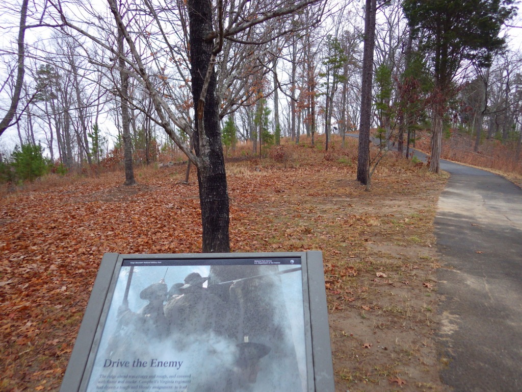
The Battlefield Trail partially follows the historic Green River Road and is 1.25 miles roundtrip from the visitor center. The auto tour route closes at 4:30 p.m. but after hours parking is available at the trailhead off Highway 11, which also accesses the Battlefield Trail. It is part of the Overmountain Victory National Historic Trail, which has 87 of its 330 miles publicly accessible, starting in Tennessee. There is also a 2-mile nature trail near the picnic area.
Instagram-worthy Photo
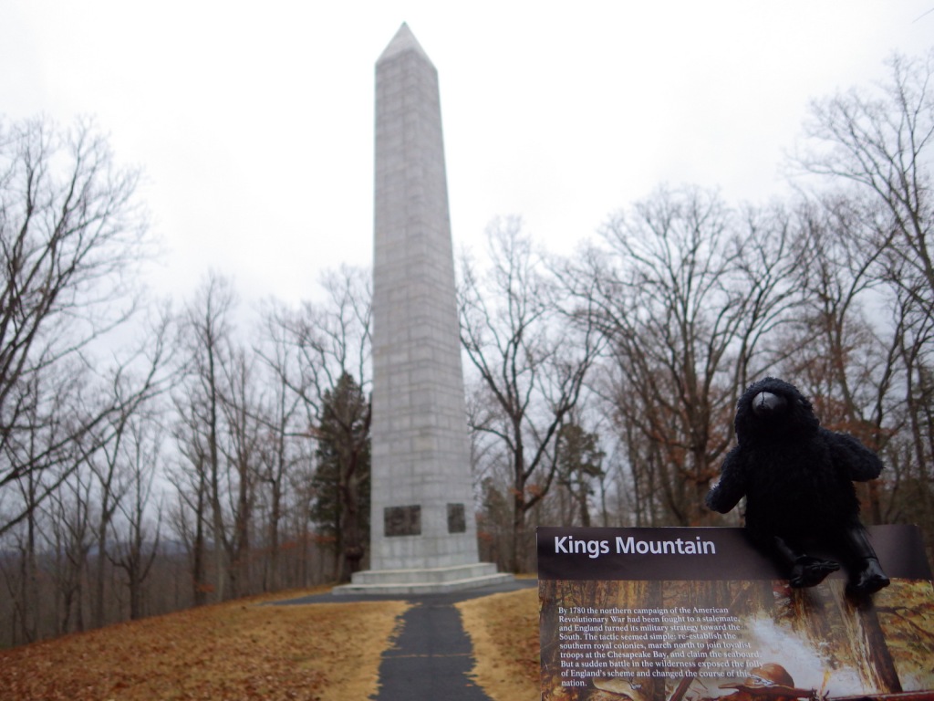
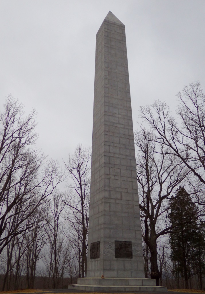
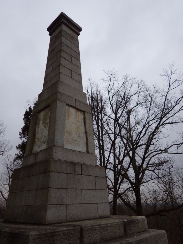
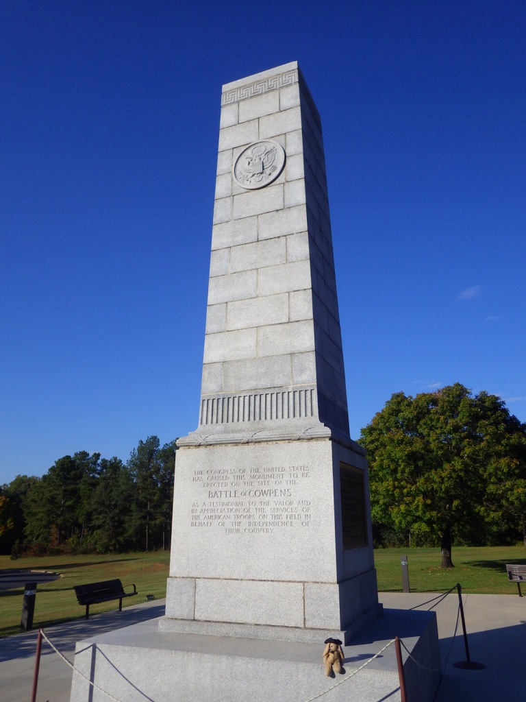
A 1932 monument marks the beginning of the Battlefield Trail.
Peak Season
Summer
Hours
https://www.nps.gov/cowp/planyourvisit/hours.htm
Fees
None
Road Conditions
All roads paved
Camping
Kings Mountain State Park is 30 miles east of the park next to Kings Mountain National Military Park.
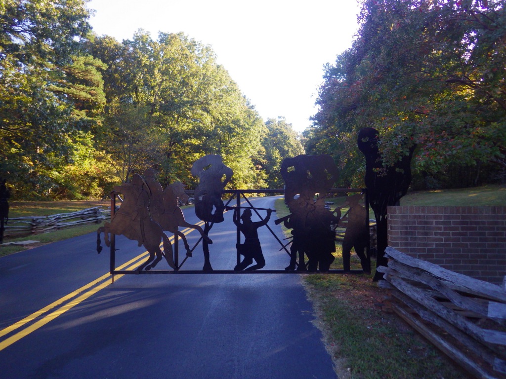
Entrance gate 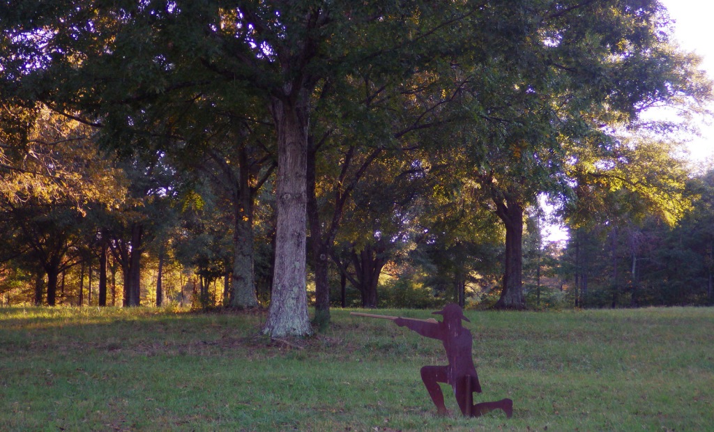
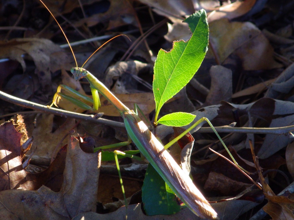
Praying mantis 
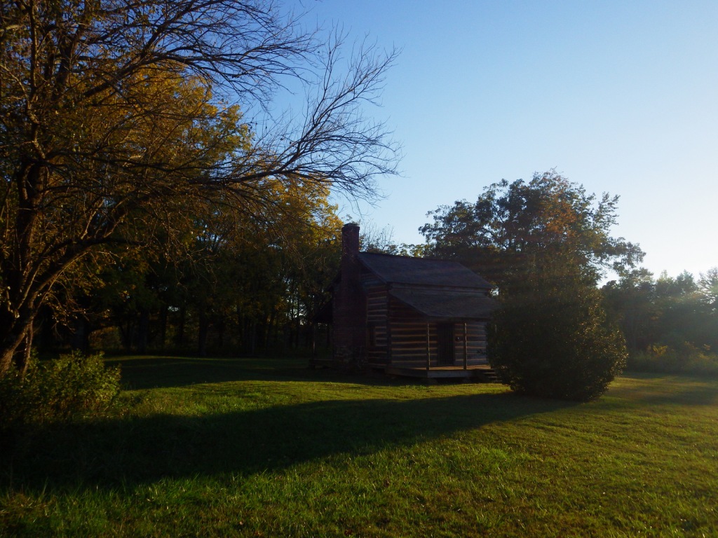
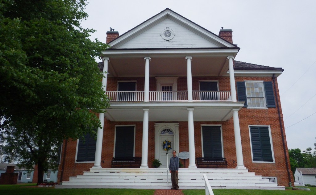
The Scruggs house 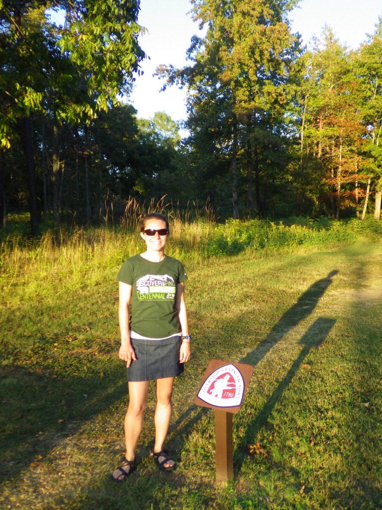
The Overmountain National Historic Trail runs through the park
Explore More – What locally grown fruit provided the inspiration for the painted water tower in Gaffney, South Carolina?