Overview
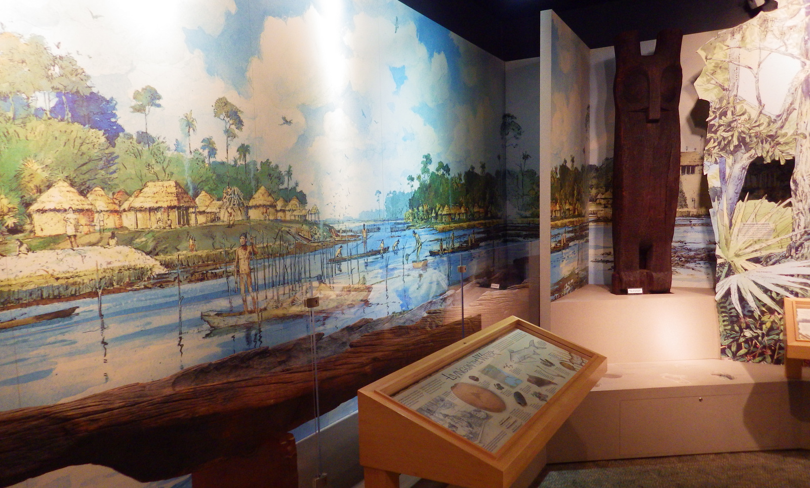
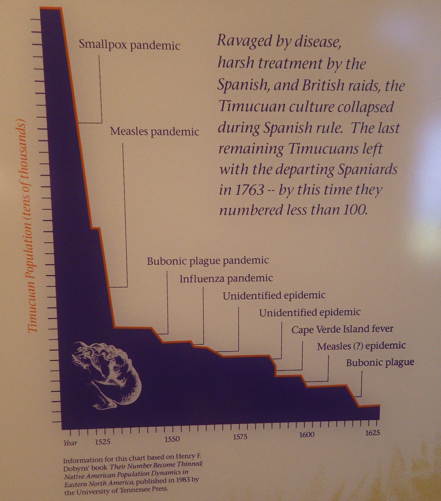
The Timucuan Indians inhabited northeastern Florida’s coastal wetlands and maritime hammocks when French colonists first arrived in 1562. The settlers constructed Fort Caroline (a National Memorial established in 1950), which the National Park Service (NPS) administers as a unit of Timucuan Ecological and Historic Preserve (established in 1988). Start your visit at the NPS museum at Fort Caroline National Memorial, which provides information on the indigenous Timucuan, as well as the European colonization efforts. Then you can tour a one-third scale reconstruction of the triangular Fort Caroline based upon a drawing from 1564 by French artist Jacques le Moyne.

Highlights
Fort Caroline, Kingsley Plantation, Theodore Roosevelt Area
Must-Do Activity
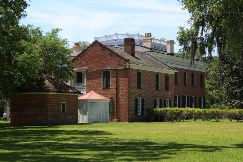
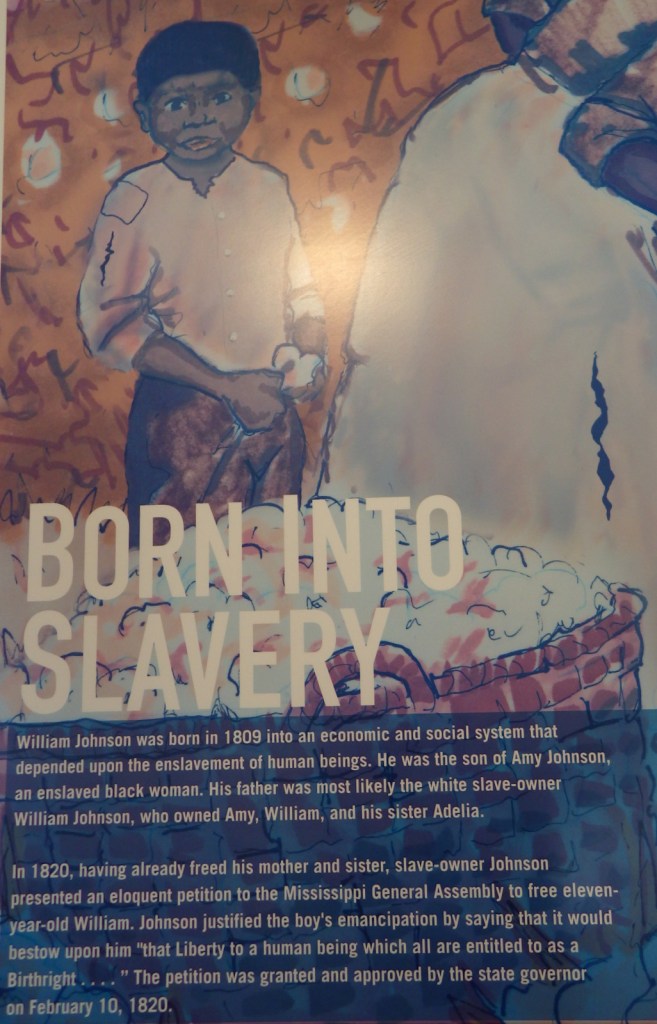
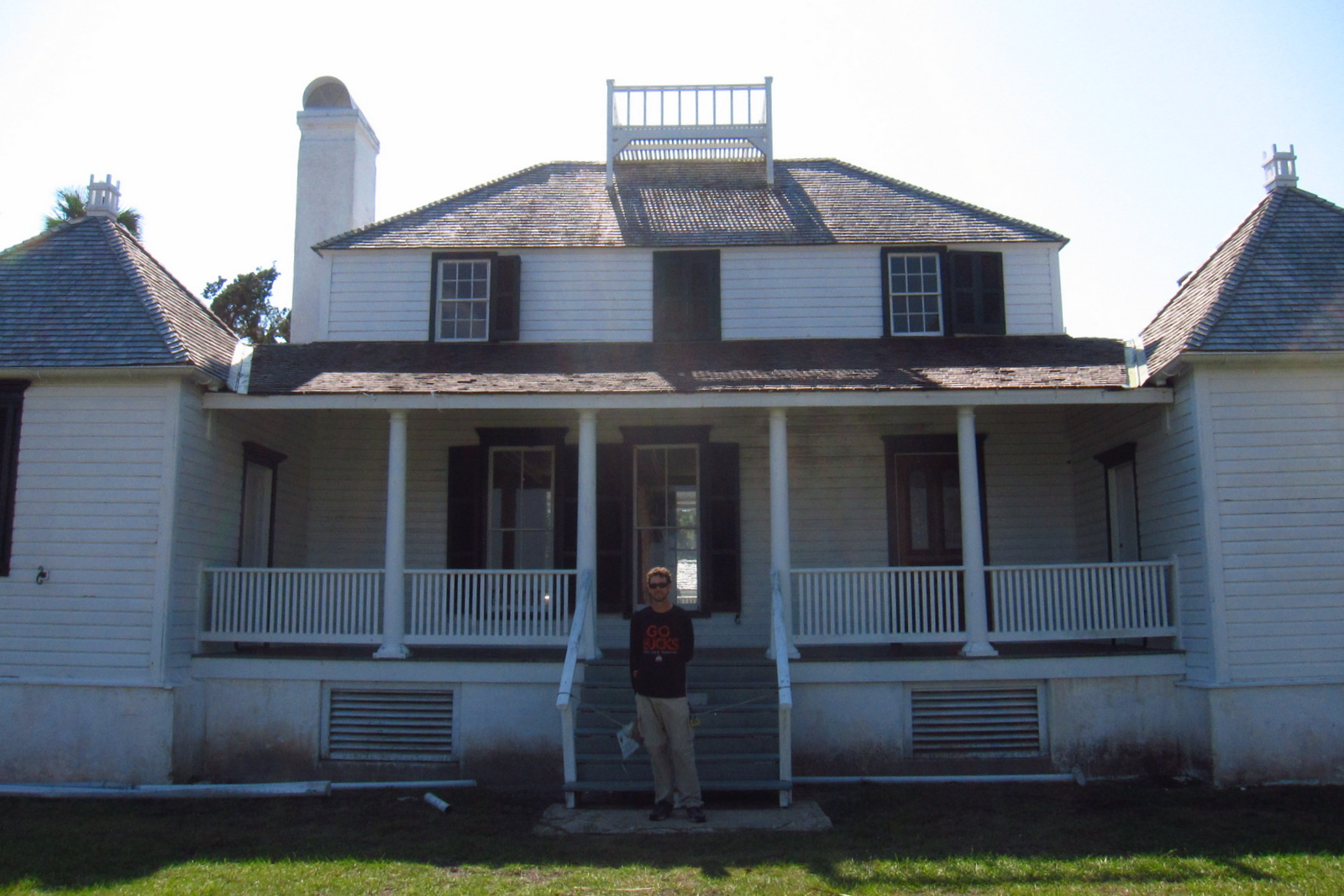
The second place the NPS manages a visitor center is at Kingsley Plantation on Fort George Island east of Jacksonville, Florida. Established in 1798, it is the oldest remaining plantation house in Florida. Slaves here harvested Sea Island cotton, which is still grown in a small garden alongside indigo, another regional cash crop. Visitors can take a self-guided trail around the property, but tours inside the main plantation house are only offered on weekends and require a reservation.
Best Trail
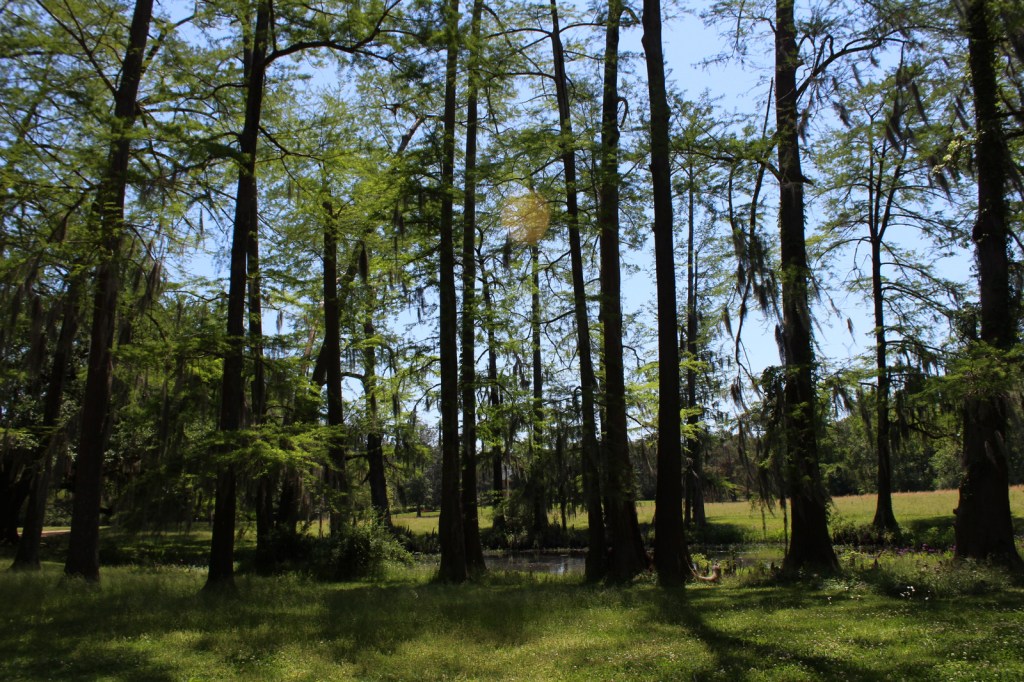
The 1.5-mile Willie Browne Trail winds through the 600 undeveloped acres at Theodore Roosevelt Area, donated by the trail’s namesake to the Nature Conservancy in 1969. The Spanish Pond Trail connects this trail with Fort Caroline National Memorial.
Instagram-worthy Photo
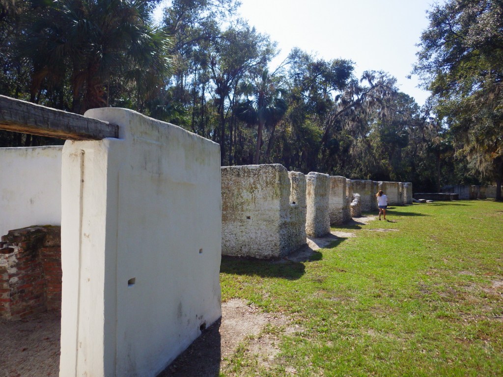
The tabby walls of 23 of the original 32 slave quarters still stand in a row at Kingsley Plantation.
Peak Season
Winter
Hours
https://www.nps.gov/timu/planyourvisit/hours.htm
Fees
None
Road Conditions
All major roads are paved, but the fastest route between Fort Caroline and Kingsley Plantation is probably via the St. Johns River Ferry.
Camping
The NPS does not have a campground, but nearby Little Talbot Island State Park, Huguenot Memorial Park, and Kathryn Abbey Hanna Park all do.
Related Sites
Fort Caroline National Memorial (Florida)
Fort Matanzas National Monument (Florida)
Castillo de San Marcos National Monument (Florida)


Explore More – Florida had “relatively liberal” racial policies under Spanish rule, but that changed when it became a U.S. territory in what year?