Overview
As one of the easiest crossings of the Alleghany Mountains, Cumberland Gap saw steady foot traffic from 1775 to 1810 as American settlers moved west then sent their trade goods and livestock east. It later became the corner where the states of Kentucky, Tennessee, and Virginia all converge. Today there is a tunnel on Highway 25E, maintaining the park’s quiet and its appearance of centuries ago.

Highlights
Pinnacle Overlook, Tri-State Peak, Wilderness Road Trail, Hensley Settlement, Gap Cave
Must-Do Activity
All visitors will want to drive the steep four-mile long Pinnacle Road, along which trailheads lead to scenic overlooks and earthen forts dating to the 1860s. Reservations are recommended if you want to take a tour of the Hensley Settlement or Gap Cave, which typically sell out. Even if you cannot make it on a tour, there are 85 miles of shady trails through the park’s 24,000 acres of forest to make your visit worthwhile.
Best Trail
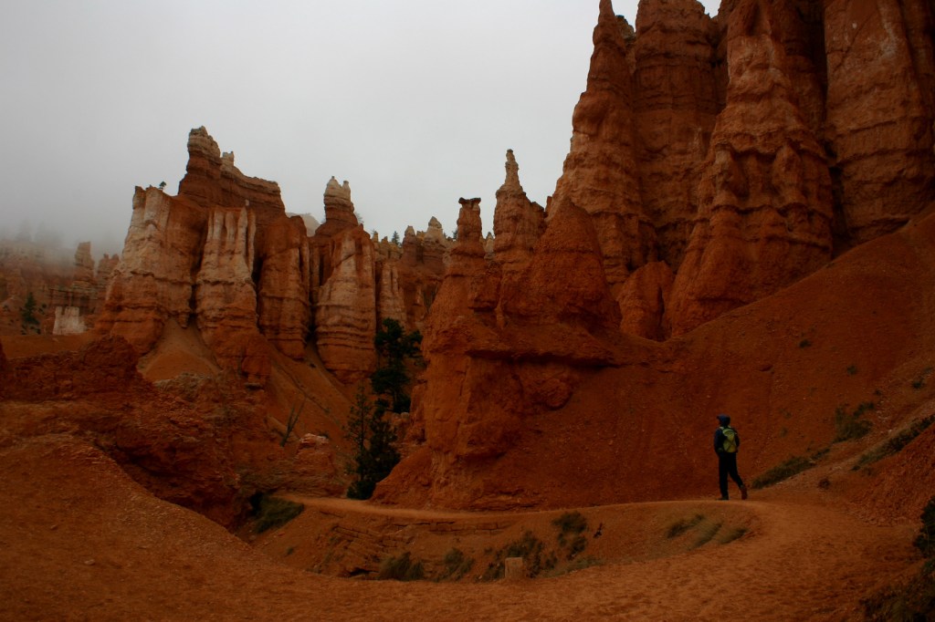
At Cumberland Gap National Historical Park you can follow in the footsteps of salt-seeking bison, Shawnee and Cherokee warriors, hundreds of thousands of pioneers, and Civil War soldiers from both sides. Hike the Wilderness Road Trail to the saddle of the official Cumberland Gap, which is marked by a sign. You will also pass the same Indian Rock that was seen by frontiersman Daniel Boone when he helped blaze the Wilderness Trail in 1775.
Instagram-worthy Photo
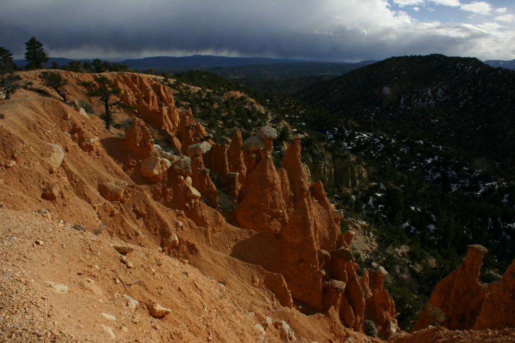
You can see parts of Kentucky, Virginia, and Tennessee from Pinnacle Overlook at 2,440 feet in elevation. With its commanding views, you can see why both sides found the Cumberland Gap strategic during the Civil War.

Peak Season
Summer
Hours
https://www.nps.gov/cuga/planyourvisit/hours.htm
Fees
None, except for the separate tours of Hensley Settlement and Gap Cave (reservations recommended).
Road Conditions
The four-mile long road up to Pinnacle Overlook is paved but steep enough to be closed to all trailers and vehicles over 20 feet in length.
Camping
The park’s Wilderness Road Campground is large and open year round. Free permits are available for backcountry campsites. Black bears are common in the park, so proper food storage is required.
Related Sites
Mammoth Cave National Park (Kentucky)
Big South Fork National River and Recreation Area (Tennessee-Kentucky)
Great Smoky Mountains National Park (Tennessee-North Carolina)


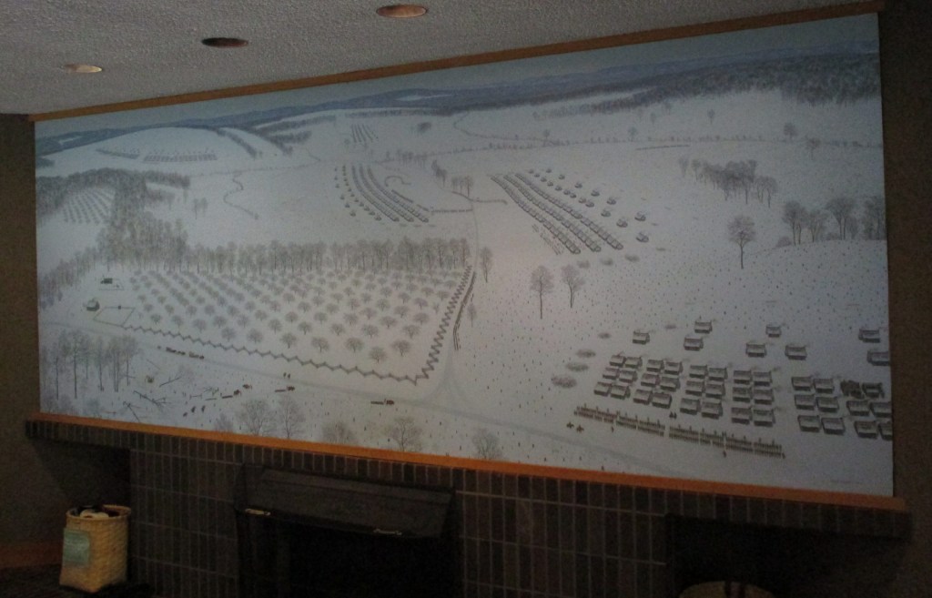
Wall mural of pioneers crossing the gap 
Civil War bunker 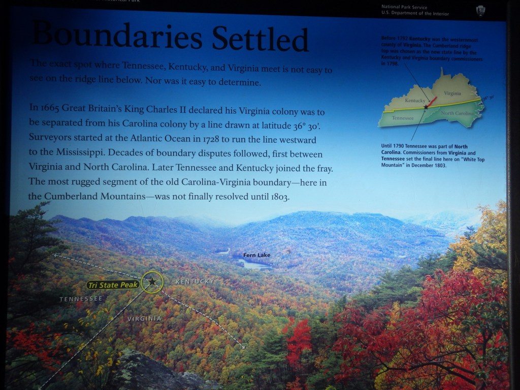

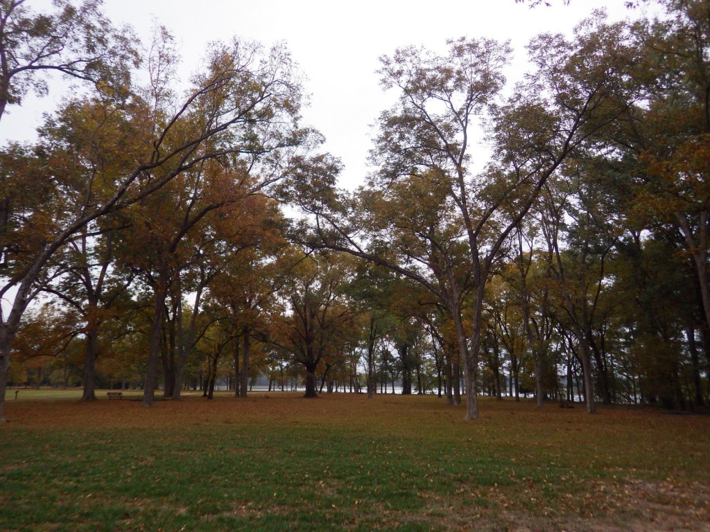
The sassafras trees were changing colors when we visited in mid-October. 
Maples changing colors 
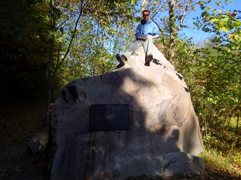
Scott atop Indian Rock, a landmark used by Daniel Boone 
Tiff at the official gap 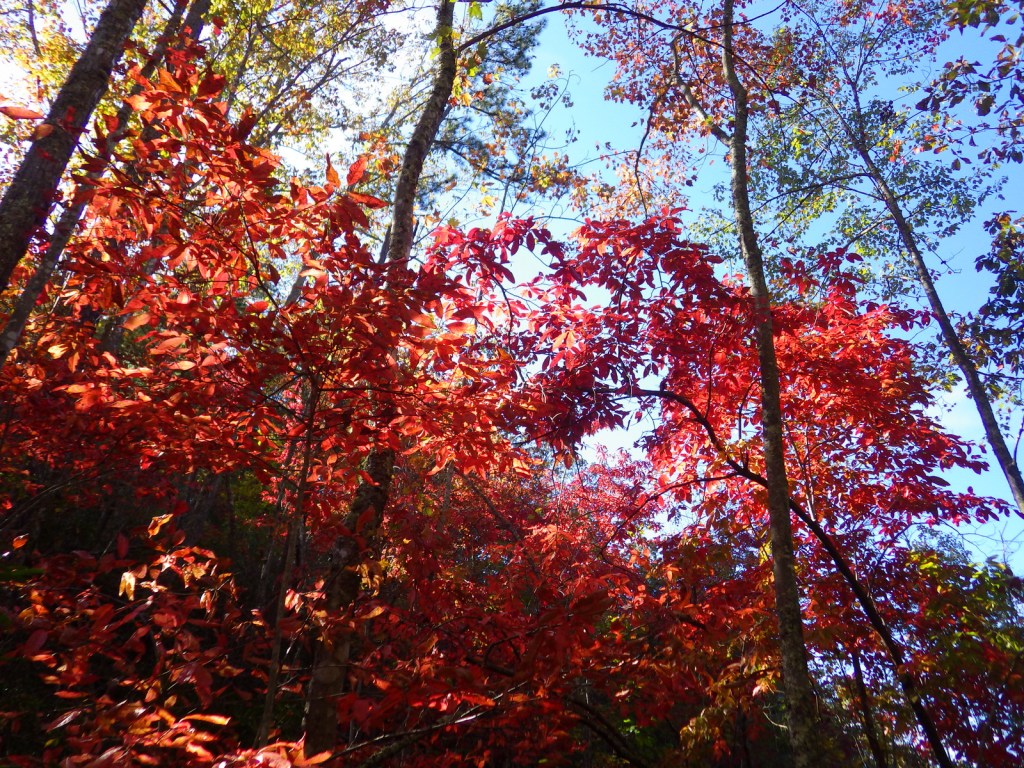
Explore More – Who was the Virginian who first “discovered” and named the Cumberland Gap in 1750?

We are a participant in the Amazon Services LLC Associates Program, an affiliate advertising program designed to provide a means for us to earn fees by linking to Amazon.com and affiliated sites.