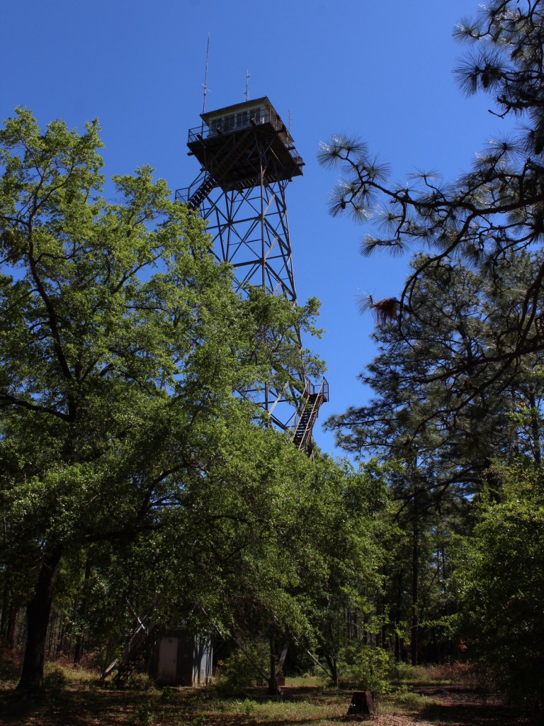
Daniel Boone National Forest
Kentucky
Managed by U.S. Forest Service, Southern Region
2,047,092 acres (706,680 federal/ 1,340,412 other)
Website: https://www.fs.usda.gov/dbnf/
Overview
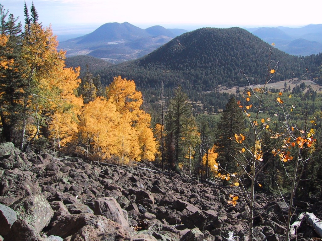
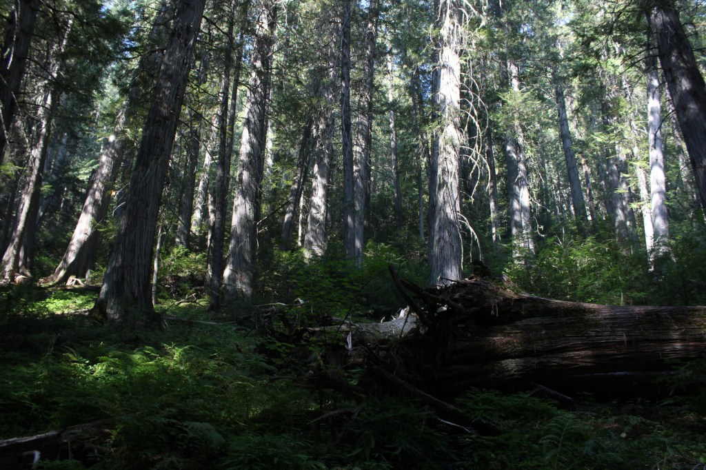
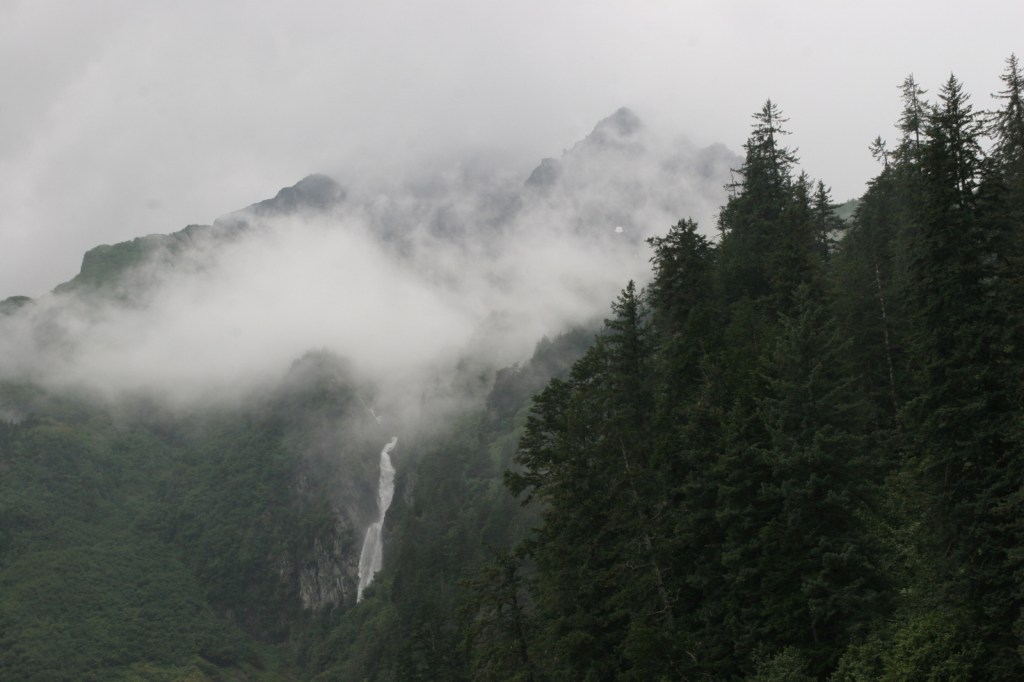
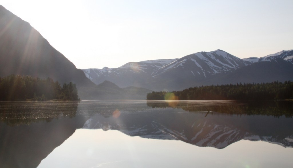
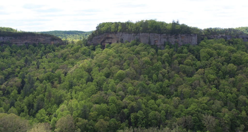
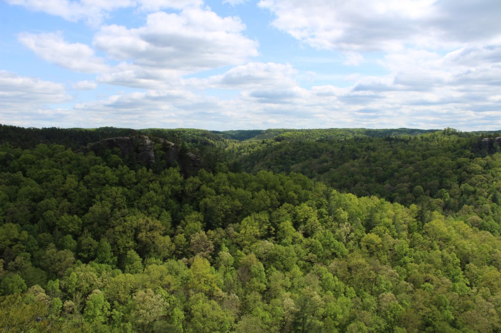
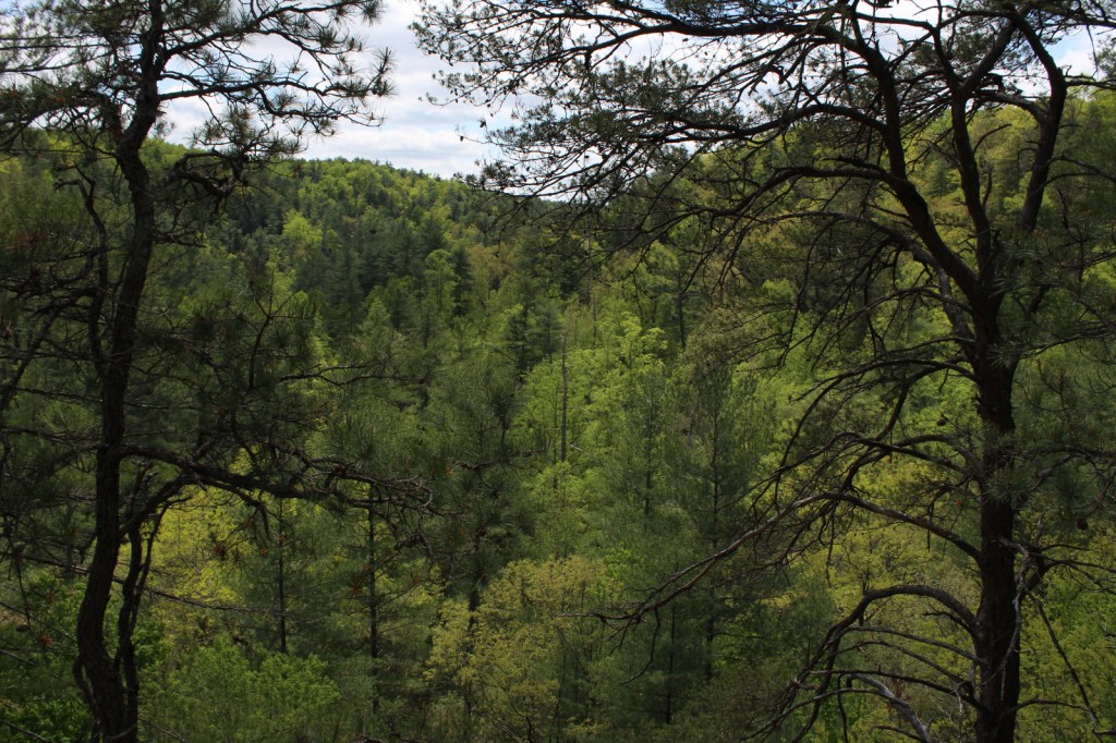
Daniel Boone National Forest is spread across the Cumberland Plateau in Kentucky, covering more than two-million acres when including private land and the 145,839-acre Redbird Purchase Unit. The National Forest also surrounds three popular State Parks: Buckhorn Lake, Cumberland Falls, and Natural Bridge. The latter is adjacent to the spectacular Red River Gorge Geological Area, which is a major reason Daniel Boone National Forest sees more than one-million visitors annually. The forest has nearly 100 developed recreation areas and 600 miles of trails, plus several historic sites like Clear Creek Iron Furnace, Nada Railroad Tunnel, and Camp Wildcat (site of the first Civil War engagement of regular troops in Kentucky).
Highlights
Zilpo Scenic Byway, Red River Gorge Geological Area, Nada Tunnel, Cave Run Lake Recreation Area, Lick Creek Falls, Clear Creek Iron Furnace, Camp Wildcat, Laurel River Lake Recreation Area, Chimney Top Rock, Chestnut Knob, Yahoo Arch, Sheltowee Trace National Recreation Trail
Must-Do Activity
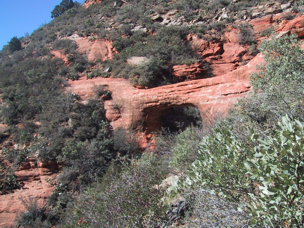
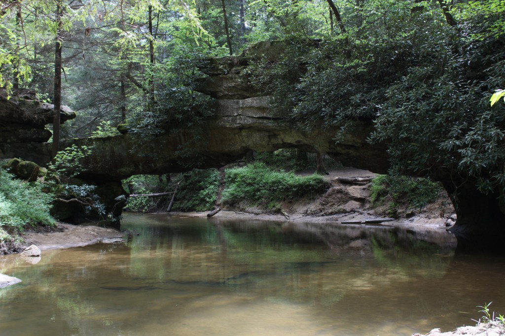
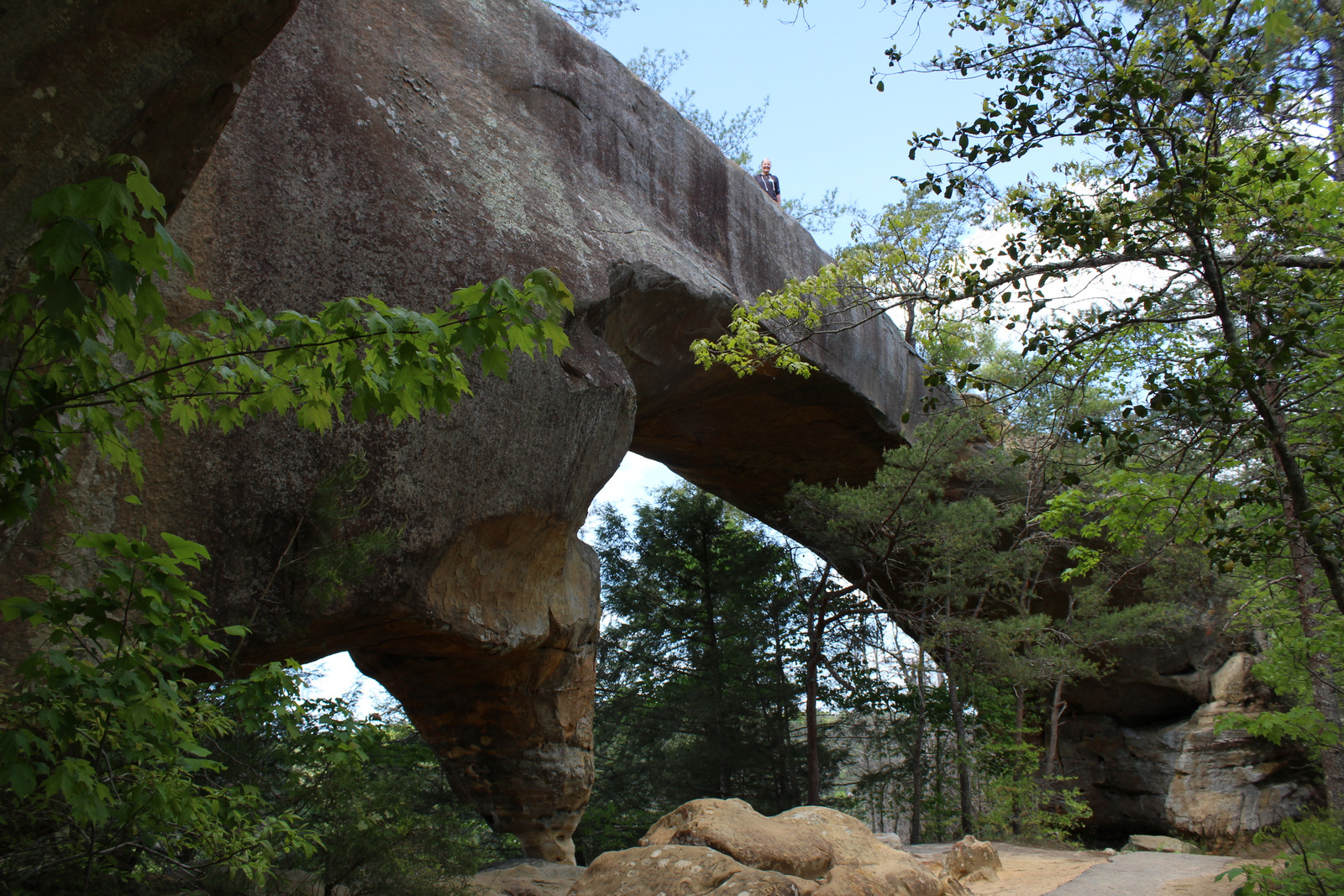
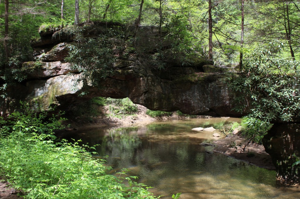
In the rolling hills of the Cumberland Plateau, Red River Gorge Geological Area is full of enough sandstone arches to keep you busy exploring for days. Although 91-foot long Koger Arch was closed during our visit, we enjoyed short hikes to 75-foot Sky Bridge and 32-foot Princess Arch. Rock Bridge Trail is a 1.3-mile loop that passes the sole natural bridge in the area with water flowing through it, and the only one formed by a waterfall cutting through the sandstone.
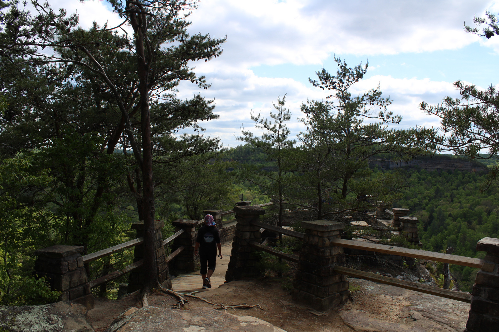
Best Trail
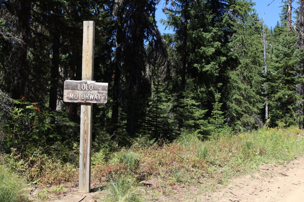
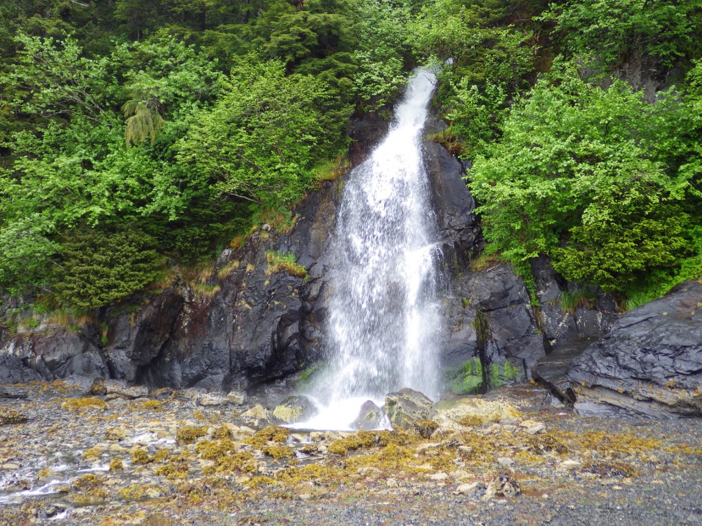
The 282-mile-long Sheltowee Trace National Recreation Trail runs from Tennessee north into the southern end of Daniel Boone National Forest and Big South Fork National River and Recreation Area (where a camping permit is required by the National Park Service). The trail marked by white turtle blazes passes through Alum Ford primitive campground on the Big South Fork of the Columbia River. From Yahoo Falls Scenic Area, a short jaunt takes hikers to 113-foot-tall Yahoo Falls, which you can walk behind. Yahoo Arch (17 feet tall) is accessible further up that two-mile section of trail or from a separate Forest Service trailhead on KY700, as is Markers Arch on a separate half-mile spur.
Watchable Wildlife
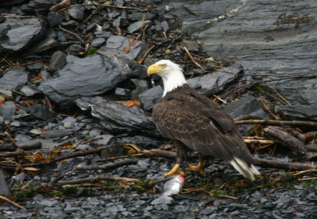
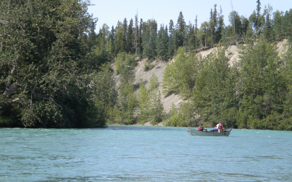
Major mammals found in Daniel Boone National Forest include black bear, coyote, bobcat, red fox, gray fox, mink, white-tailed deer, gray squirrel, muskrat, opossum, raccoon, cottontail rabbit, woodchuck, and three species of bat. Wild turkey, northern bobwhite quail, ruffed grouse, red-cockaded woodpecker, and bald eagle are some of the 194 bird species identified. Copperheads and timber rattlesnakes are two types of venomous snakes found here. Lakes and streams have rainbow trout, largemouth bass, smallmouth bass, bluegill, crappie, and muskie.
Instagram-worthy Photo
Kentucky is riddled with caves—from the manmade Louisville Mega Cavern to Mammoth Cave National Park. Daniel Boone National Forest has an estimated 1,500 to 2,000 limestone caves, in addition to small overhangs in the sandstone of Red River Gorge Geological Area.
Peak Season
Summer
Fees
There is not a day use fee to park, hike, or picnic in Red River Gorge Geological Area (unless you park overnight).
Road Conditions
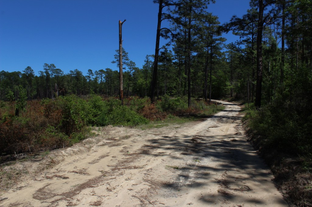
Most of the trailheads in Red River Gorge Geological Area are accessed by well-marked and well-maintained dirt roads.
Camping
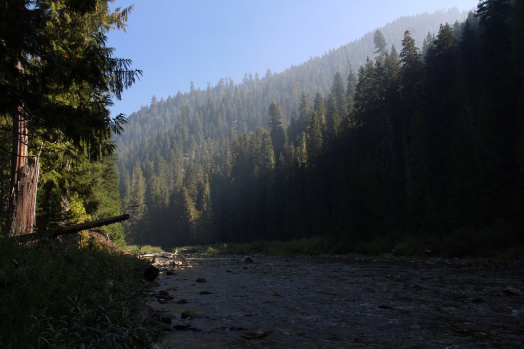
South of Interstate 64, Cave Run Lake stretches across 8,270 acres in northeastern Kentucky where we spent the night at a Forest Service campground on a cross-country roadtrip in 2007. There are campgrounds in Red River Gorge Geological Area, where backpacking in the Clifty Wilderness only costs $5 per day per car for a permit.
Wilderness Areas
Beaver Creek Wilderness
Clifty Wilderness
Related Sites
Big South Fork National Recreation Area (Kentucky-Tennessee)
Cumberland Gap National Historical Park (Kentucky -Tennessee-Virginia)
Land Between The Lakes National Recreation Area (Kentucky-Tennessee)
Nearest National Park


eastern hemlock, loblolly pine, Virginia pine, pitch pine, shortleaf pine
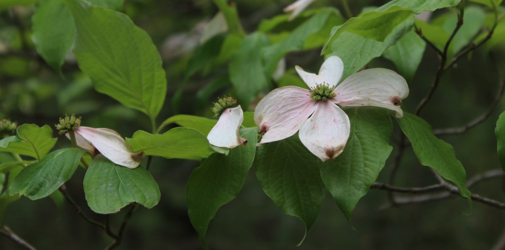
chestnut oak, scarlet oak, black oak, northern red oak, white oak, rock chestnut oak, tulip-poplar, American beech, mockernut hickory, bitternut hickory, pignut hickory, black gum, white ash, sassafras, mountain laurel, basswood, red mulberry, witch hazel, sugar maple, red maple, sourwood, cucumber magnolia, bigleaf magnolia, flowering dogwood, serviceberry, pawpaw, river birch, sycamore, silver maple, black willow, sweetgum, devil’s walkingtick, white rhododendron, Cumberland azalea
Explore More – In what year did the frontiersman Daniel Boone fight in the Battle of Blue Licks during the American Revolution?

Learn more about this and the 154 other National Forests in our new guidebook Out in the Woods
We are a participant in the Amazon Services LLC Associates Program, an affiliate advertising program designed to provide a means for us to earn fees by linking to Amazon.com and affiliated sites.