Kobuk Valley National Park
Alaska
Managed by National Park Service
Established 1978 National Monument, 1980 National Park
1,714,578 acres
Website: nps.gov/kova
Overview
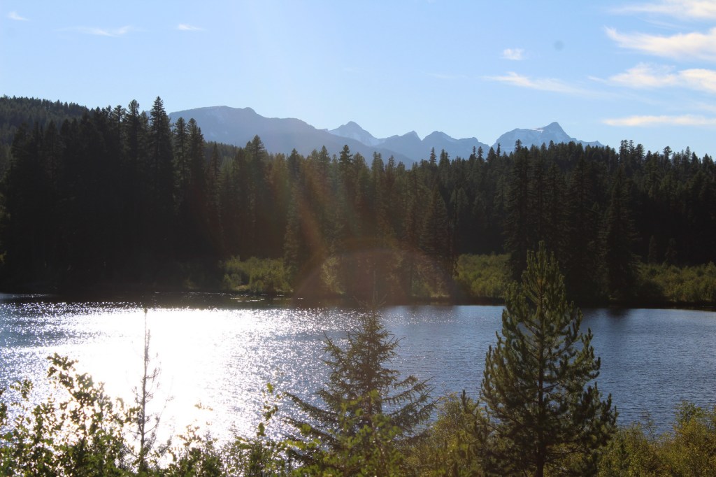
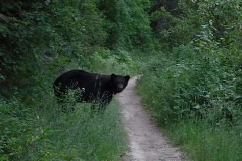
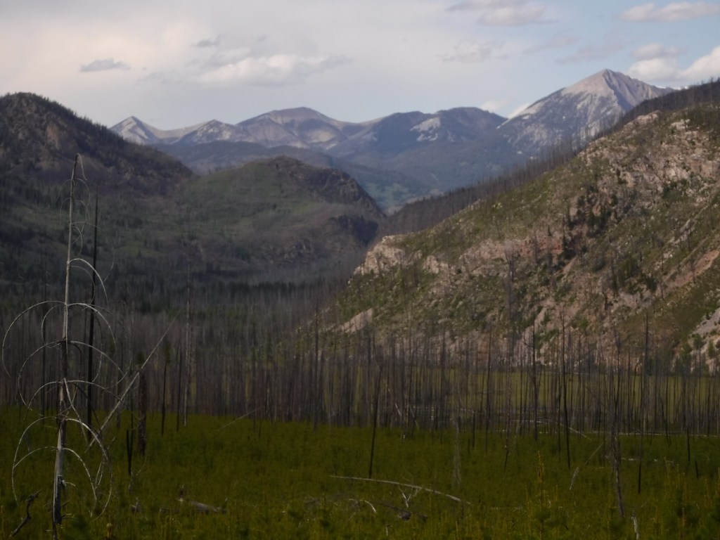
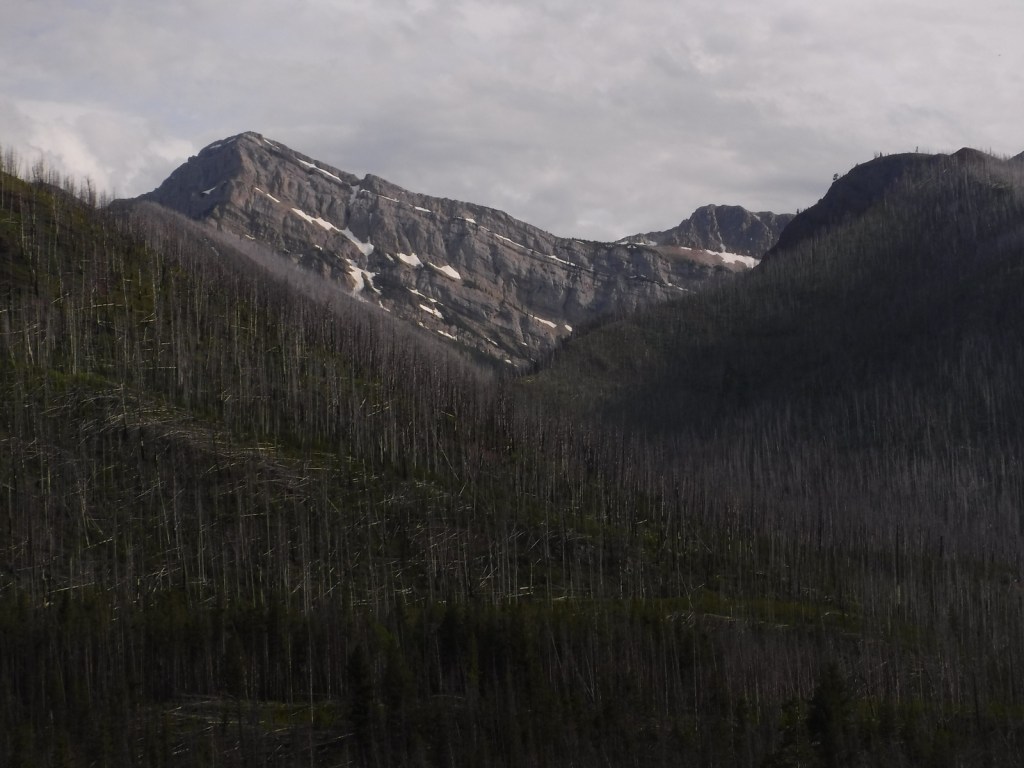
In northwest Alaska, an area roughly the size of Delaware is set aside to protect an 85-mile stretch of the Kobuk River. Kobuk Valley National Park also includes the Waring Mountains to the south and the Baird Mountains that border Noatak National Preserve. Hunters have been coming for at least 12,500 years to Onion Portage where caribou gather to cross the river. In the 1960s, archeologist J. Louis Giddings built a cabin and cache so he could excavate a two-acre plot. He and his assistants dug through 30 artifact-bearing layers that provided evidence of nine cultural periods from the Akmak Complex to the Arctic Woodland Eskimo.
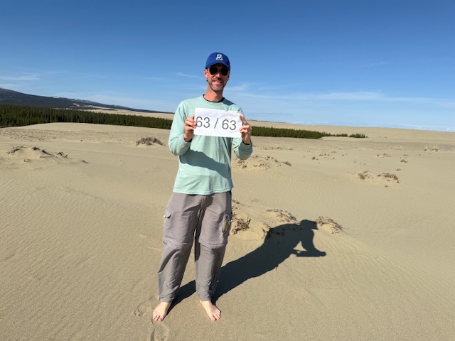
Learn more about how to visit this National Park in the expanded second edition of our guidebook A Park to Yourself: Finding Solitude in America’s 63 National Parks.

Highlights
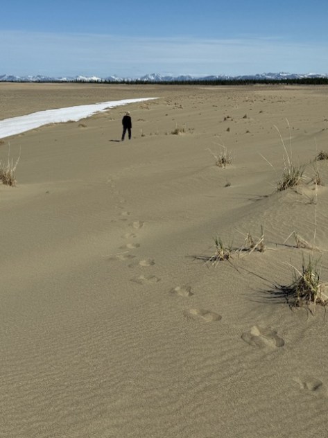
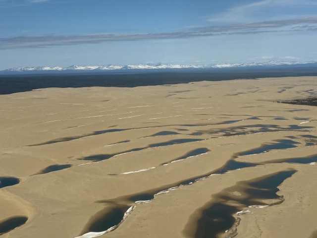
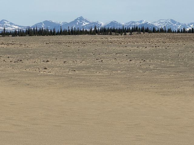
Great Kobuk Sand Dunes, Onion Portage Archeological District
Must-Do Activity
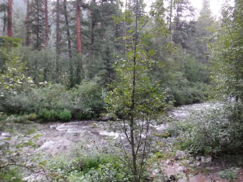
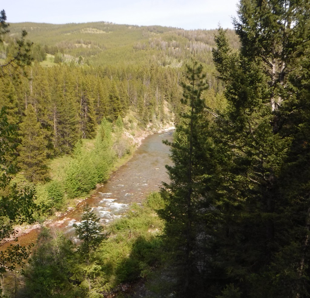
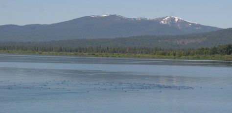
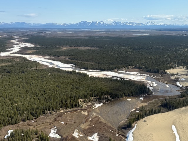
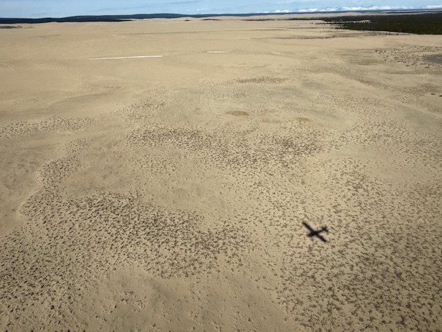
The Northwest Arctic Heritage Center in Kotzebue is located 75 river miles from the western edge of the park. Riverside ranger stations operate in the summer at Kallarichuk in the west and Onion Portage in the east. A flightseeing tour of the park typically lands on the Great Kobuk Sand Dunes, which are the remnant of a dune field that once covered as much as 200,000 acres after the Pleistocene glaciation. Float trips take at least a week on the wide Kobuk River or the rougher Salmon River, which is designated a Wild and Scenic River. The Kobuk River starts within a narrow canyon with Class V rapids inside Gates of the Arctic National Park and Preserve, but soon flattens out and becomes a braided channel, like many rivers in Alaska.
Best Trail
There are no established trails in the park, but it is easy to wander through the sand dunes and soft enough to go barefoot.
Photographic Opportunity
The Great Kobuk Sand Dunes are a geological anomaly sitting north of the Arctic Circle, once studied by NASA as an analog for polar dunes on Mars.
Peak Season
Summer
Hours
https://nps.gov/kova/planyourvisit/basicinfo.htm
Fees
None
Road Conditions
There are no roads into Kobuk Valley National Park, so most visitors arrive by small airplane, which can cost around $5,000 to charter for the day. If you are leaving from Fairbanks, we recommend flying with Sven from Aviation Expeditions who will do a combination trip that also lands in Gates of the Arctic National Park and Preserve.
Camping
Backcountry camping is allowed throughout the park, but is not permitted on the 81,000 acres of Native Corporation lands that are typically situated along the rivers.
Related Sites
Gates of the Arctic National Park and Preserve (Alaska)
Noatak National Preserve (Alaska)
Denali National Park and Preserve (Alaska)


Explore More – What is the current estimated size of the Western Arctic caribou herd that crosses the Kobuk River at Onion Portage?

Know someone who loves National Parks? Gift them our travel guidebook A Park to Yourself: Finding Solitude in America’s 63 National Parks.