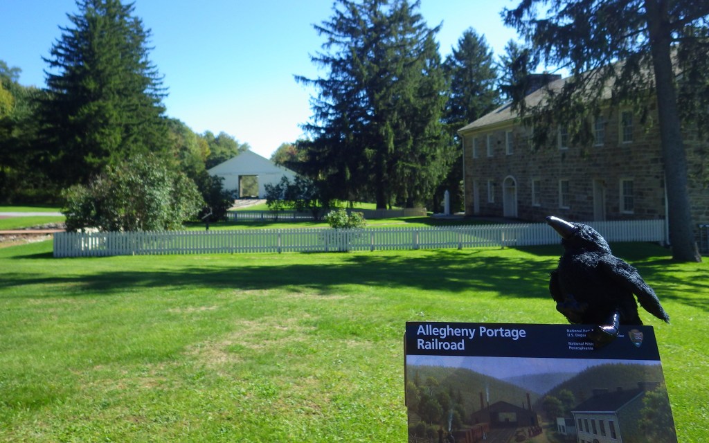
Overview
Rather than blast a canal through the mountains, this unique railroad carried sectioned canal boats 36 miles up and over the Alleghenies on a series of 10 inclined planes run by stationary steam engines. It only ran between 1834 and 1854 before becoming obsolete when the Pennsylvania Railroad provided continuous service to the Ohio River Valley.
Highlights
Museum, film, Engine House 6, Lemon House, Skew Arch Bridge
Must-Do Activity
After watching the film in the visitor center, follow the boardwalk through a stone quarry to Engine House 6 Exhibit Building to see a life-sized model of a stationary steam engine and its cable system. Continue on to Lemon House on Cresson Summit, built around 1832 to serve as a home and tavern.
Best Trail
From the Engine House 6 Exhibit Building, you can walk a trail through the forest or the mowed incline less than half a mile down to Skew Arch Bridge, or you can drive there.
Instagram-worthy Photo
Skew Arch Bridge was the only road bridge purposely built along the portage. The “skew” comes in because in 1833 the bridge design was changed to accommodate a bend in the Huntington, Cambria, and Indiana Turnpike Road. The arch is 22 feet tall and demonstrates the excellence of stone masonry at the time as it was built without mortar.

Peak Season
Summer
Hours
https://www.nps.gov/alpo/planyourvisit/hours.htm
Fees
None
Road Conditions
All roads paved
Camping
Prince Gallitzin State Park offers a campground with showers 20 miles northwest of Altoona, Pennsylvania.

Visitor center 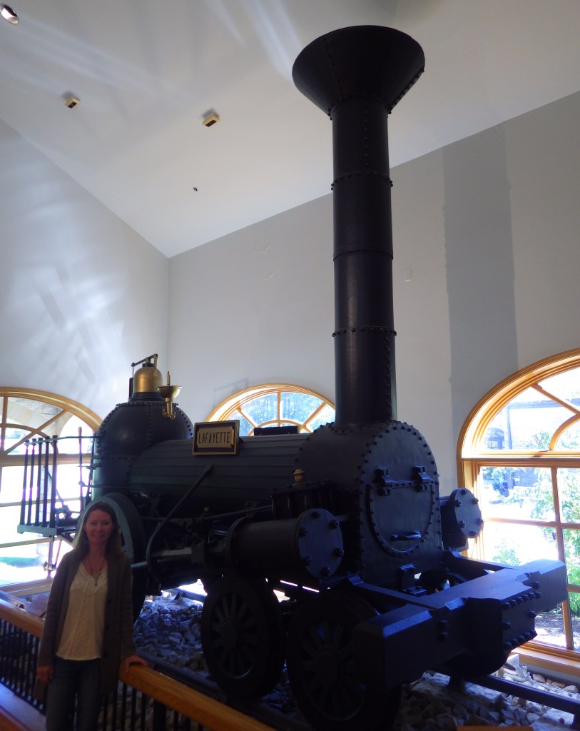
Tiff with a steam engine 
A sectional canal boat, which was loaded onto rail cars 
Tiff on the railroad incline 
Inside Engine House 6 Exhibit Building 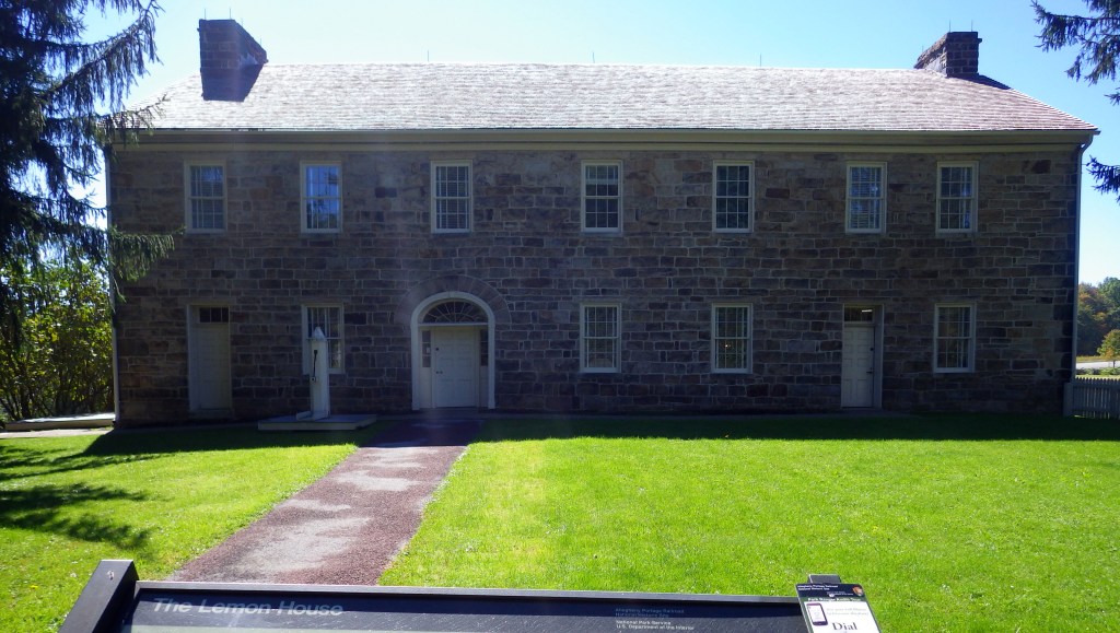
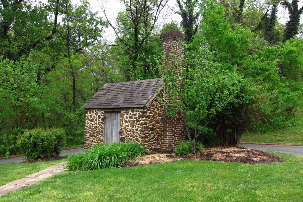
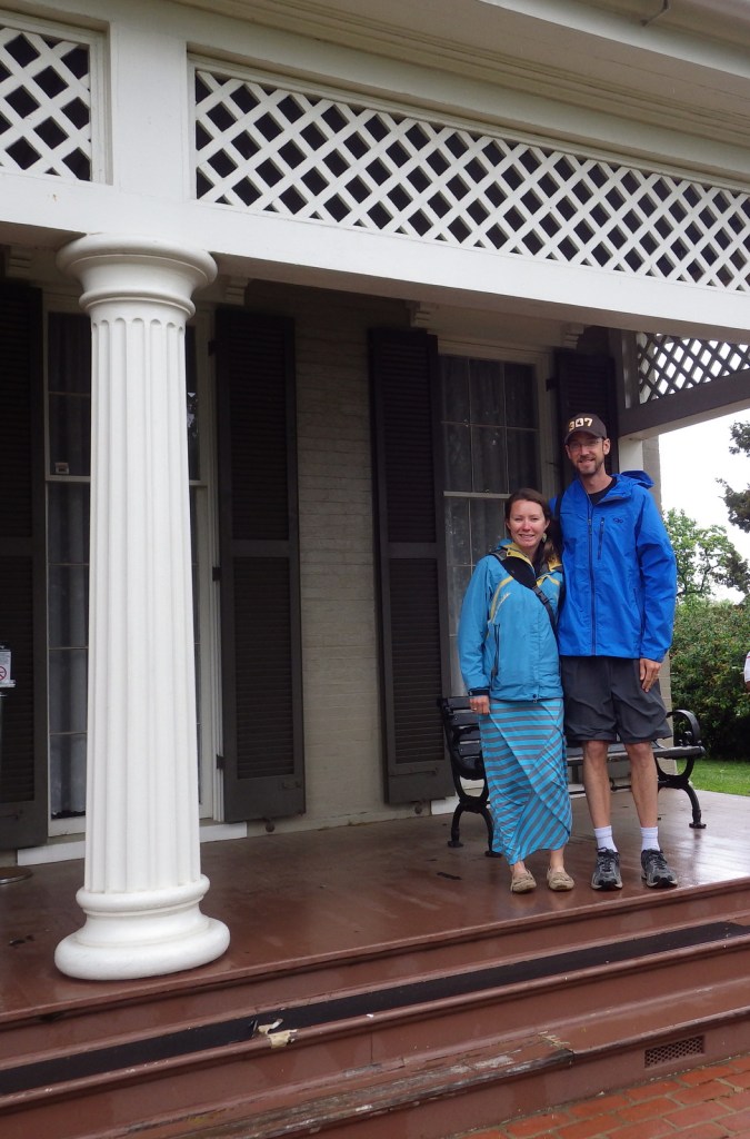
Lemon House 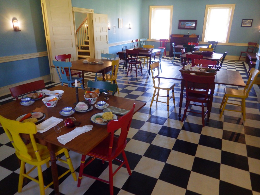
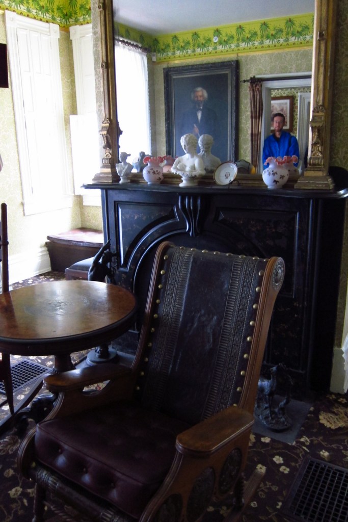
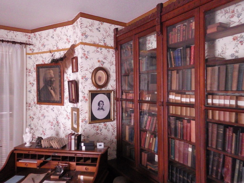
Inside Lemon House 
Tiff playing the cup and ball game inside Lemon House
Explore More – What is Staple Bend Tunnel famous for being the first example of with railroads in the United States?