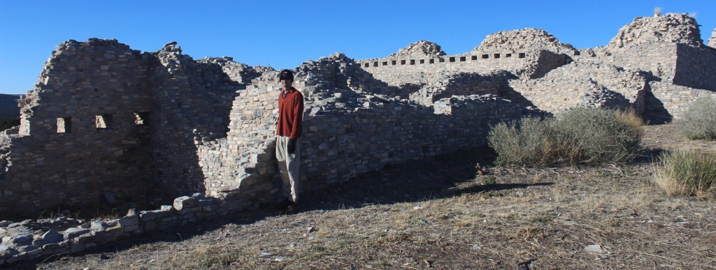
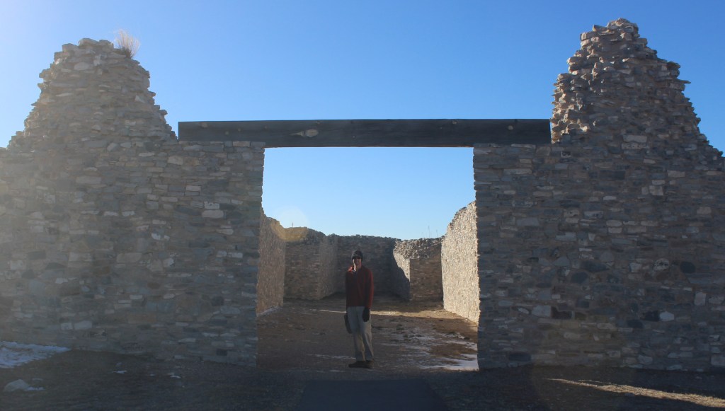
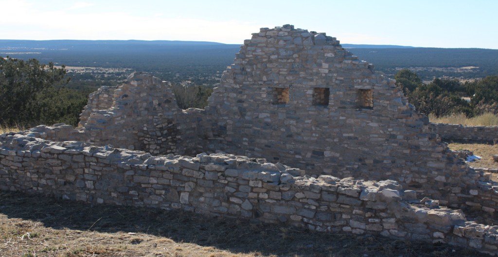
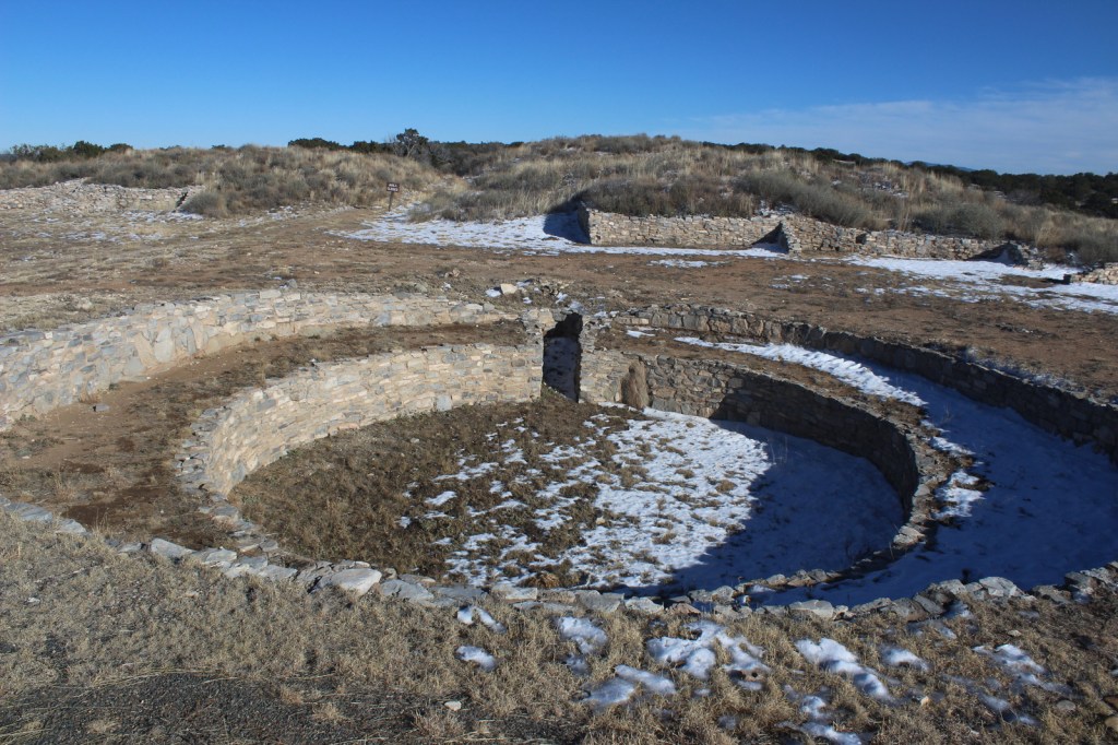
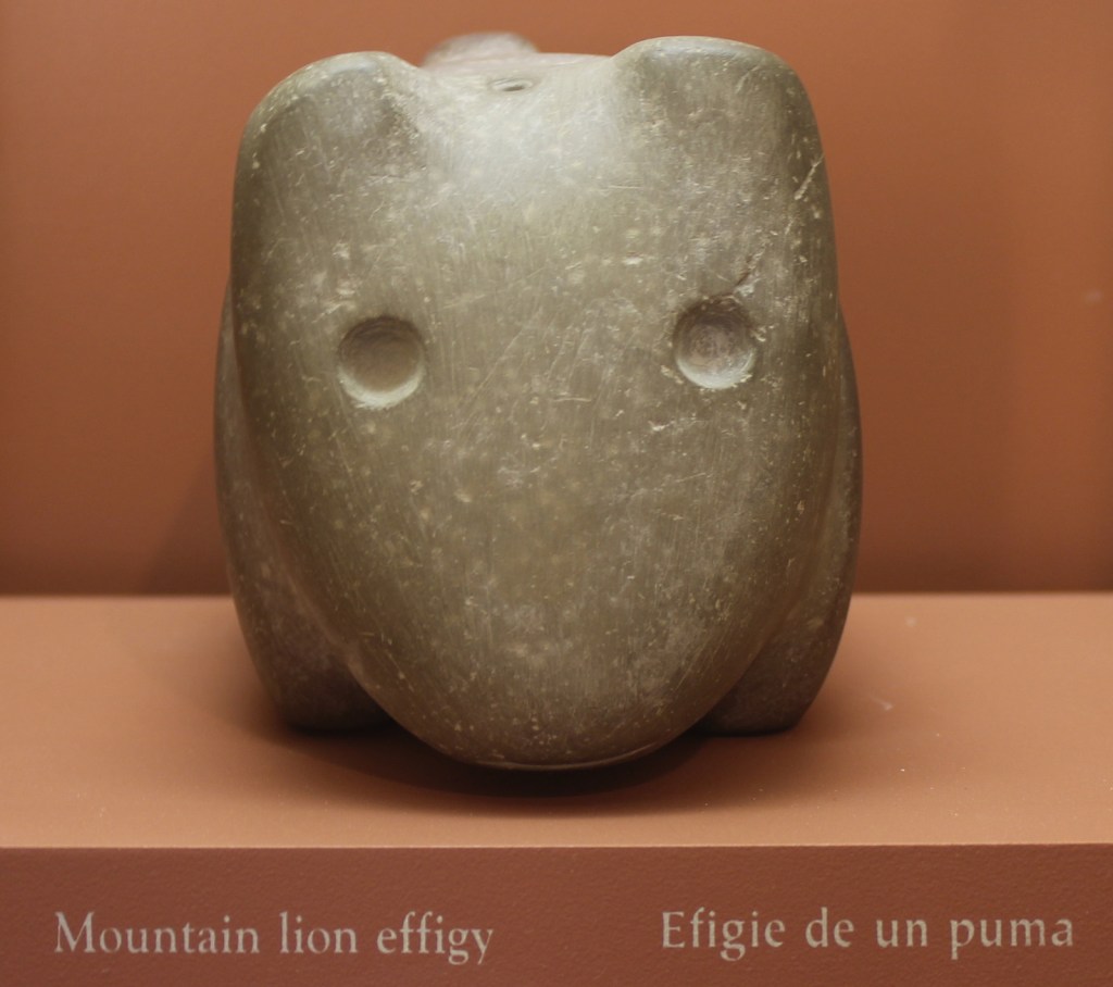
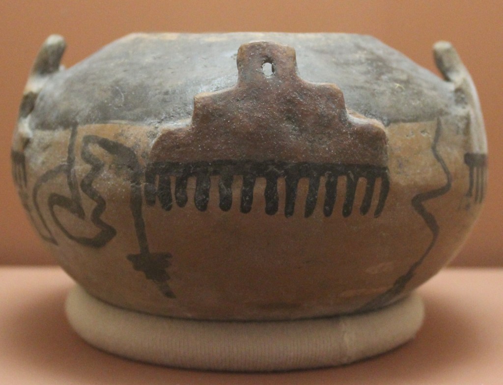
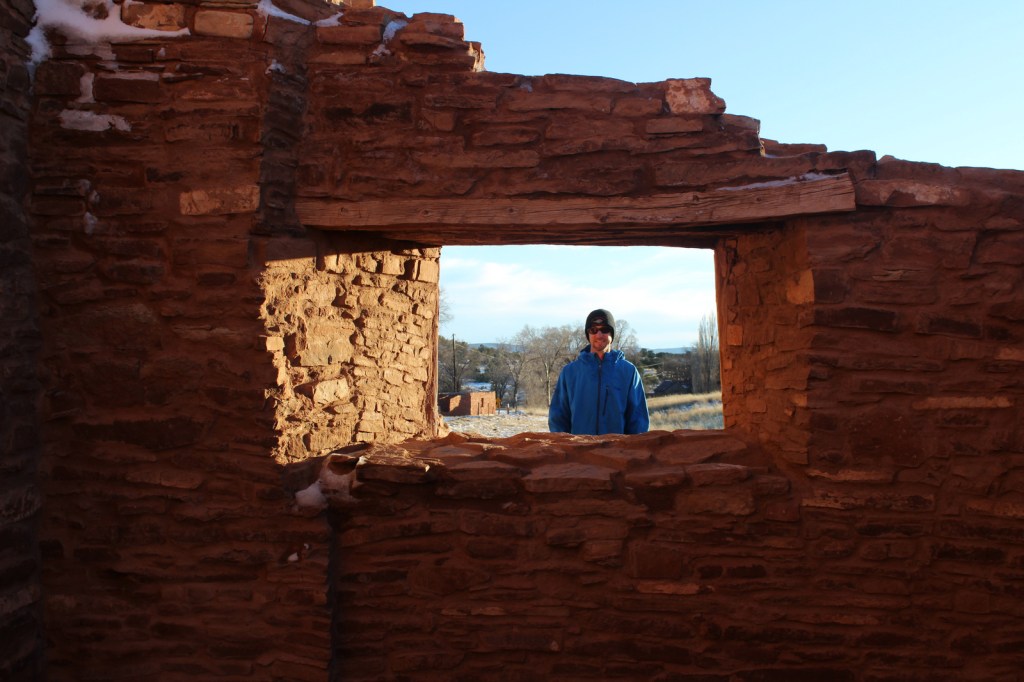
This interesting National Monument protects three separate Spanish missions that date to the 1600s, though its main visitor center in Mountainair, New Mexico is not next to any of them. Their location near salt flats led to the name Salinas and contributed to the pueblos’ abandonment when a major drought struck in the 1670s.
Highlights
Gran Quivira, Quarai, Abó, film at main visitor center
Must-Do Activity
Gran Quivira has the remains of two churches (the second unfinished at the time of abandonment) and the most significantly excavated pueblo ruins (with kivas) of the three sites.
Best Trail
Each of the three pueblos has a paved walkway that leads
through its ruins that leaves from the parking lot and past its contact station
staffed by a National Park Service employee.
Instagram-worthy
Photo
The church at Quarai is the most complete of the three sites and its red walls photograph well at sunset.
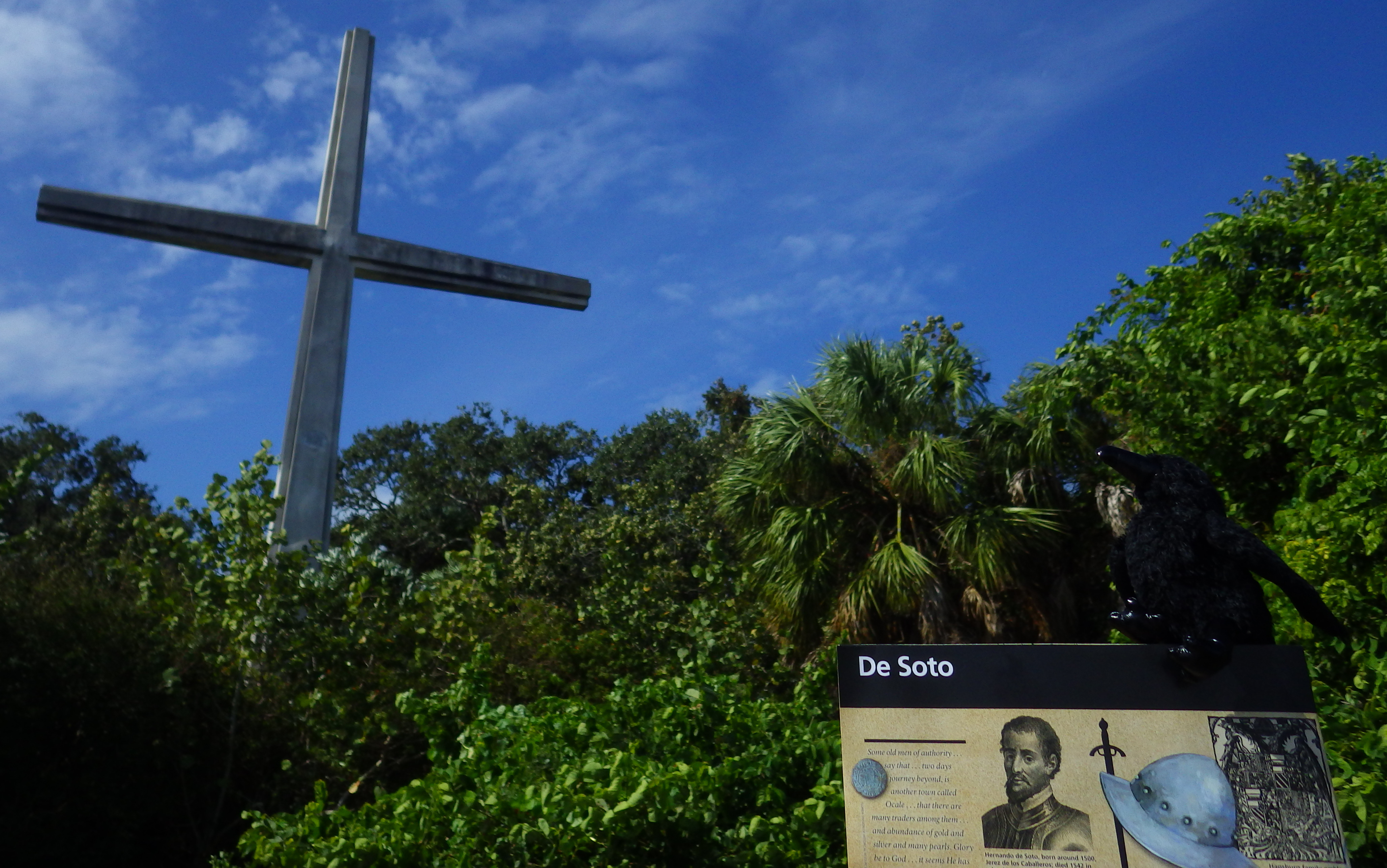
Why create a memorial to a genocidal Conquistador when he was not the first Spaniard to land in Florida? Good question. Juan Pónce de León and Pánfilo de Narváez had both already met their demise in this region, but that did not deter Hernando de Soto from trying again in 1539. He did not die until three years later, after he led his soldiers all the way to the Mississippi River leaving a path of destruction in their wake.
Highlights
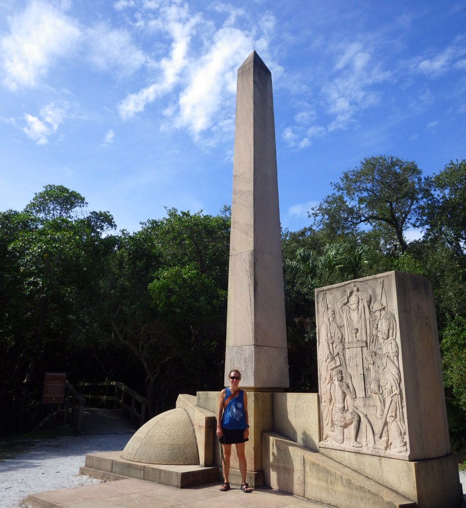
Camp Ucita, film, Memorial Trail, Holy Eucharist Monument
Must-Do Activity
De Soto made landfall in Florida somewhere in the vicinity
of modern-day Bradenton, Florida where the Manatee River reaches Tampa Bay on
the Gulf of Mexico. He left behind 100
men there in Camp Ucita, a replica of which was built on the site of the
27-acre De Soto National Memorial. In
the winter (a.k.a. touristy) months, costumed interpreters work at the replica
Camp Ucita.
Best Trail
Hike the half-mile Memorial Trail through the mangroves to
the Holy Eucharist Monument. Then cool
off in the air-conditioned visitor center to watch a 22-minute film on the
Spanish expedition.
Instagram-worthy
Photo
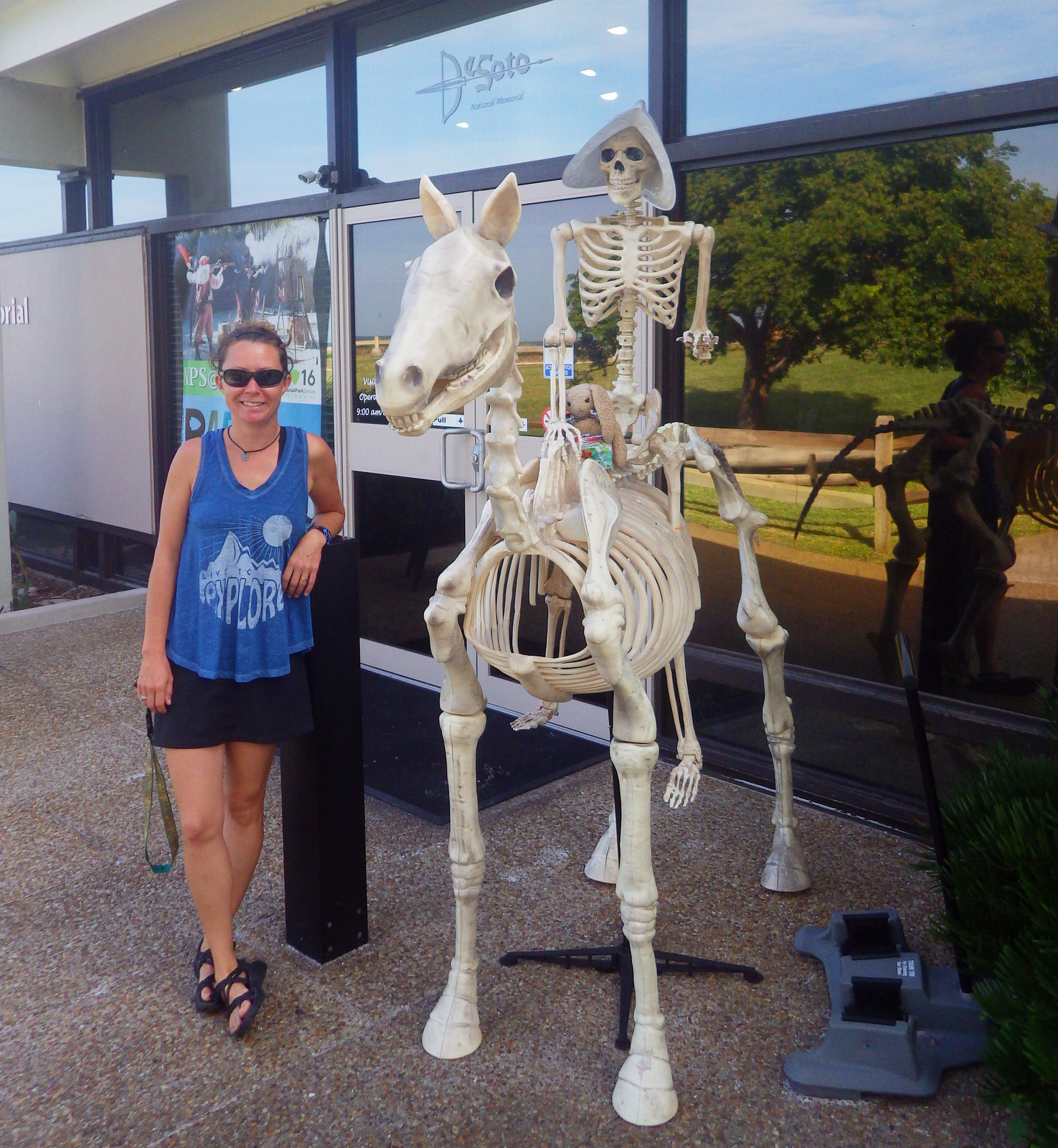
If you visit around Halloween, a scary skeleton Conquistador
atop a skeleton horse will greet you at the entrance to the National Park
Service visitor center.
A paved road leads through a residential neighborhood to the
visitor center, so watch out for dog walkers and joggers on the road and trail.
Camping
Myakka River State Park is southeast of Bradenton (where private campgrounds are also available).
Camp Ucita
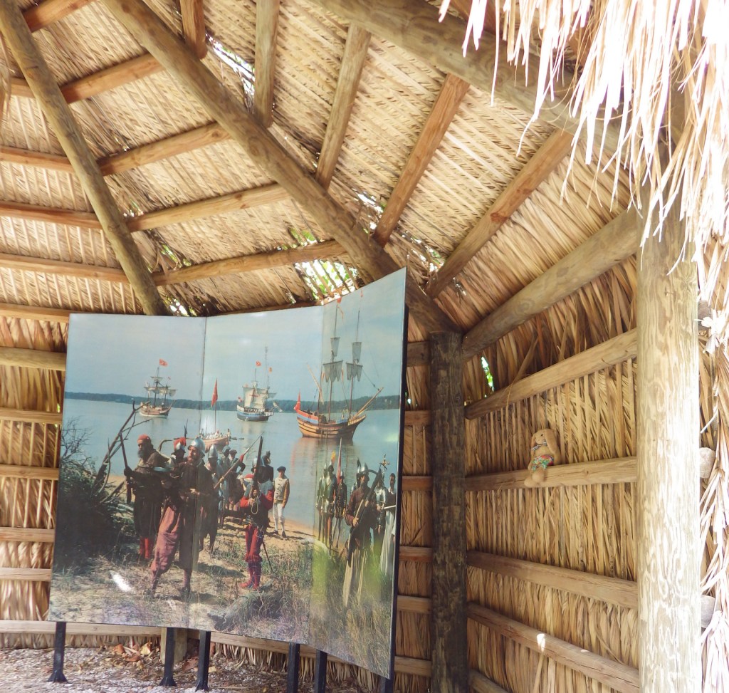
A depiction of the fateful landing
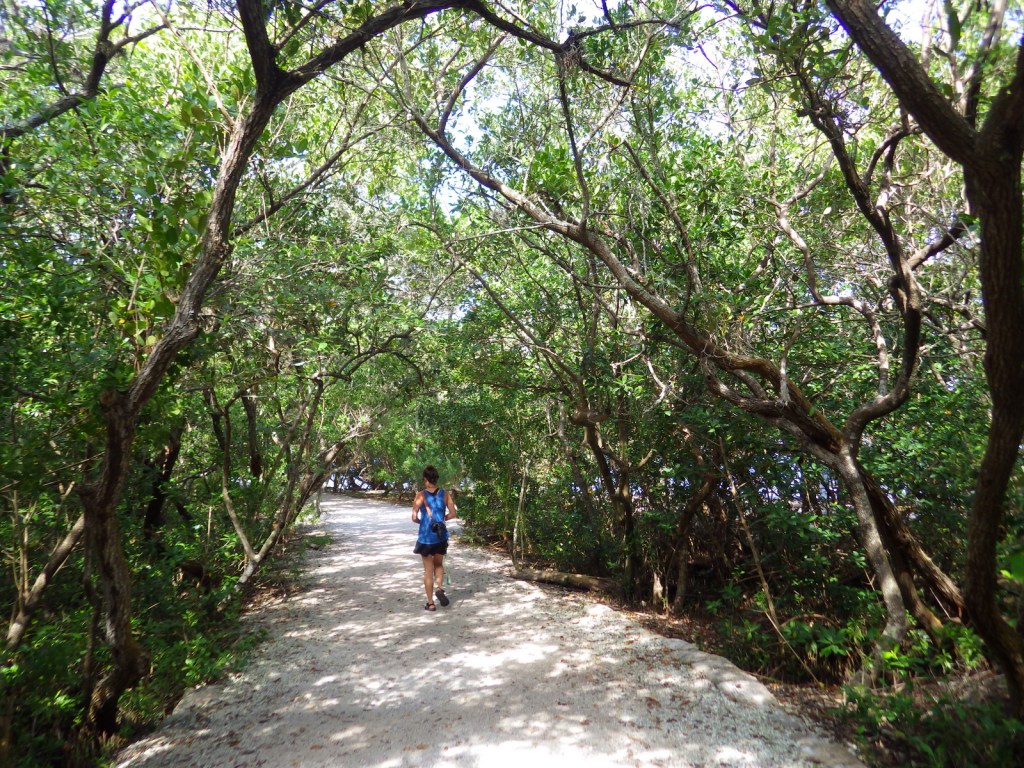
Tiff walking along the nature trail
Trees along the Manatee River
Scott with Spanish moss
Scott along the banks of the Manatee River
Native Floridian dress in 1539
Tiff at the De Soto Monument
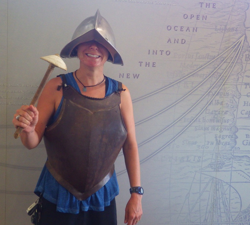
Tiff dressed up as a Conquistador
Explore More – The
Spaniards brought many diseases to the indigenous peoples, but the introduction
of which domesticated animal had the longest lasting ecological impact?
The Hopewell Culture was found in southern Ohio from approximately 2,200 to 1,500 years before present. Sites are identified by their construction of geometric enclosures made of earth, primarily for burials. Many earth mounds were plowed under for farms or destroyed during construction of an army base in Chillicothe during the 1910s, which increased awareness of these archaeological treasures. In 1923, it was protected as Mound City Group National Monument and in 1992 expanded to become Hopewell Culture National Historical Park.
Highlights
Indian mounds, museum, film from 2016
Must-Do Activity
The National Park Service (NPS) visitor center in
Chillicothe is small but has had recent updates, including the excellent film
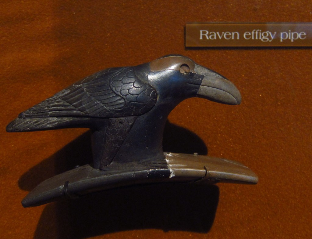
and displays of beautifully intricate artwork in the museum. From there you can walk to the Mound City
Group on the Scioto River. Most of these
23 mounds are less than four feet tall, but the largest mound in the area was
33 feet high.
Best Trail
At separate portions of the National Historical Park,
Tri-County Triangle bike path passes near the Hopewell Mound Group and the Ohio
Historical Society maintains Seip Earthworks, 17 miles west of Chillicothe on
Highway 50. Two other protected earthworks
are closed to the public.
Instagram-worthy
Photo
The Hopewell Culture must have had an extensive trading
network to obtain the shells, copper, obsidian, and sharks’ teeth which have
been excavated from their burial mounds and displayed artfully in the NPS
museum.
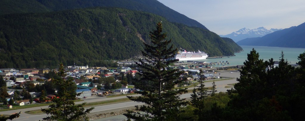
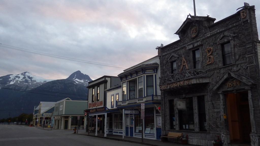
Broadway in Skagway, Alaska still looks much like it did
during the 1897 gold rush, lined with boardwalks and bustling with activity,
especially when a cruise ship is docked.
Paved streets instead of mud are one major difference between now and
when 30,000 stampeders came here aboard ships from Seattle. The National Park Service (NPS) visitor
center is located inside the old railway depot and the NPS owns several other
historic structures including the Mascot Saloon and Jefferson “Soapy” Smith’s
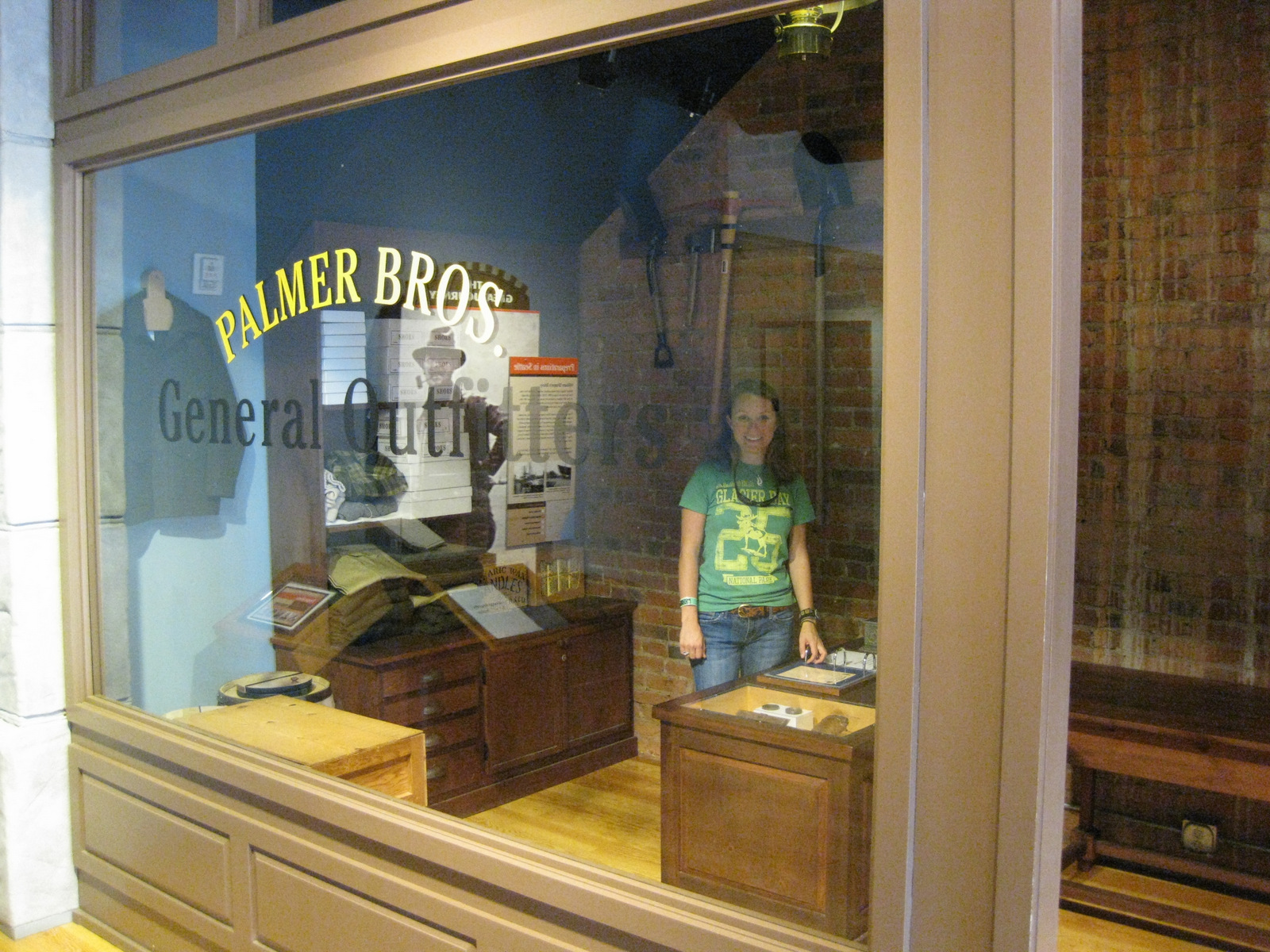
Parlor. The NPS also runs a free museum
in downtown Seattle, Washington inside the historic Cadillac Hotel.
Highlights
Mascot Saloon, Gold Rush Cemetery, Lower Reid Falls,
Chilkoot Trail, Cadillac Hotel museum (Seattle)
Must-Do Activity
Start at the visitor center with the 25-minute introductory
film then wander the boardwalks up Broadway to see historic false-front
buildings that never burned since the 1897 gold rush. If you want to learn more about the infamous
“Soapy” Smith and laugh really hard, then I recommend purchasing tickets to the
Days of ’98 Show offered multiple times daily in the summer.
Best Trail
The NPS cooperatively manages the Chilkoot Trail with Parks
Canada who issues all permits (in Skagway) for backpacking the 33-mile
trail. The trailhead is in the ghost
town of Dyea, about 12 miles west of bustling Skagway. Almost every trekker takes 3 to 5 days to
hike one way into Canada and return on the White Pass Railroad. It is cheaper to only hike the U.S. side and
spend two nights at the always empty Pleasant Camp.
Instagram-worthy
Photo
During the winter of 1897-98, over 30,000 people hauled
one-ton of food and gear per person over the 3,501-foot Chilkoot Pass on their
way to the Yukon Territory. Photograph
the 100% slope of the “Golden Stairs” in the summer, as it can be nearly
impossible to access in winter.
Peak Season
Summer due to cruise ships and the fact that the rest of the
year experiences heavy snowfall.
It is free to explore downtown Skagway’s buildings, but
overnight backpacking on the Chilkoot Trail has fees ($20.30 per person for
U.S.-side only) and is limited to only 50 permits per day to cross the border
into Canada.
Road Conditions
Paved to Skagway and the dirt road to Dyea is good enough
for all vehicles.
Camping
There is a car campground in Dyea. Specific backcountry campsite permits (like
Sheep Camp) can fill up early.
Overlooking the town of Skagway with a cruise ship in port
The unique Arctic Brotherhood Hall dates to 1899
Scott gambling with fake chips before the Days of ’98 Show
Scott backpacking the Chilkoot Trail
Pleasant Camp on the Chilkoot Trail with cook tent in background
Approaching the Golden Stairs
Historic artifacts line the Chilkoot Trail
The historic Cadillac Hotel was built in 1890 in downtown Seattle, Washington and is now a National Park Service museum.
Explore More – How
many times did the average stampeder have to ascend the Golden Stairs to haul
one-ton of food and gear over 3,501-foot Chilkoot Pass?
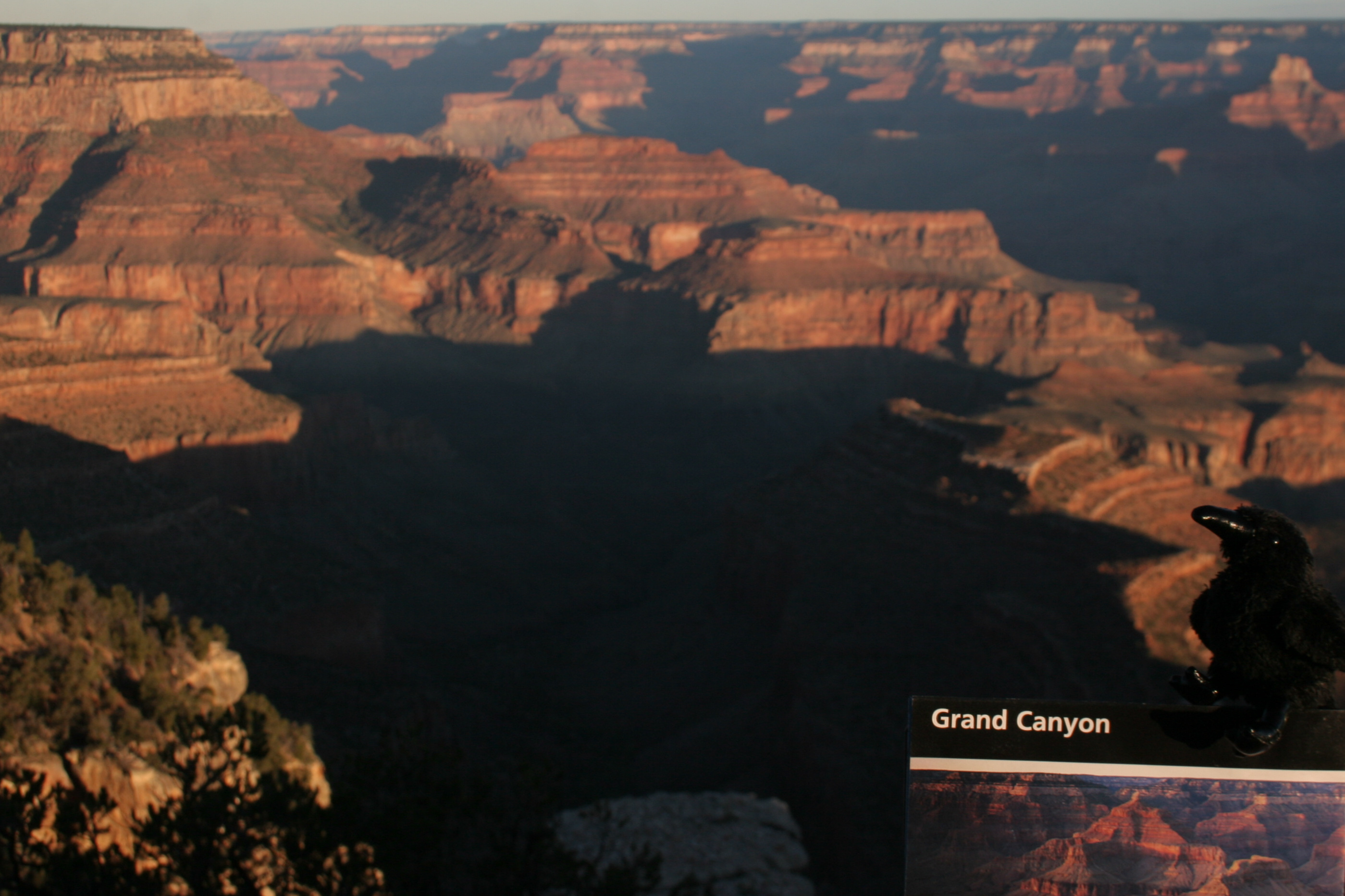
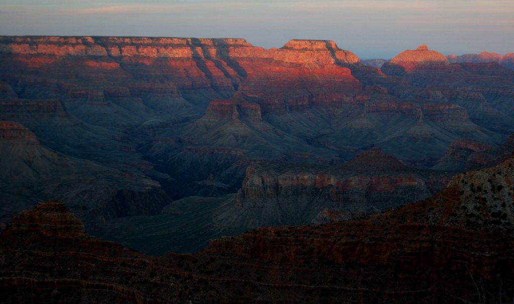
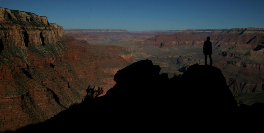
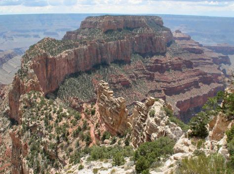
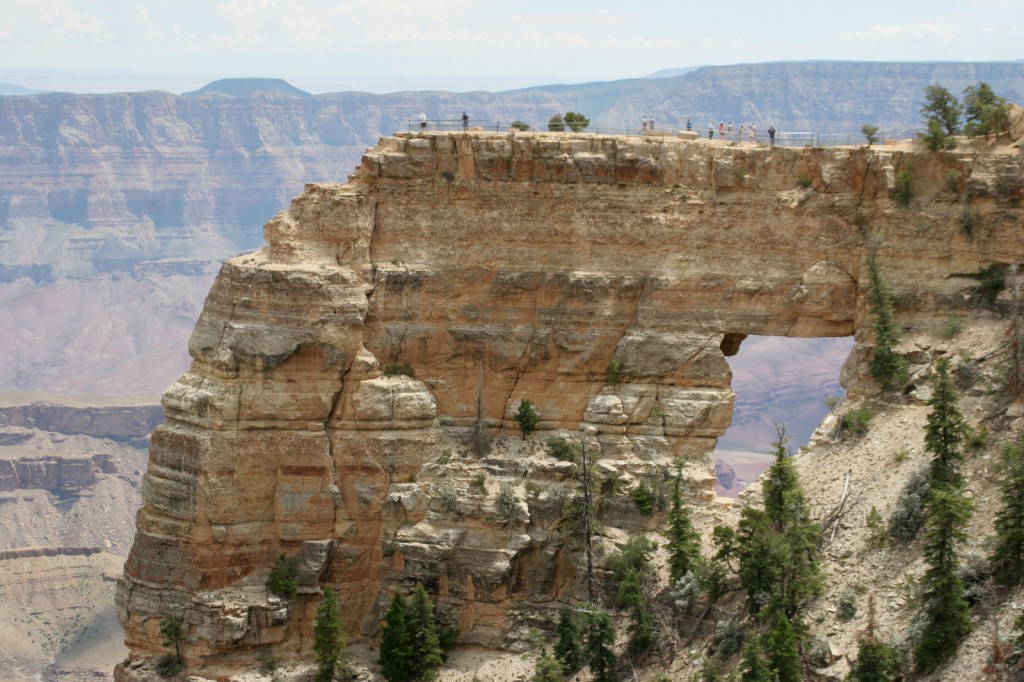
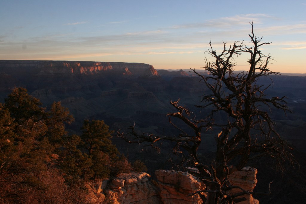
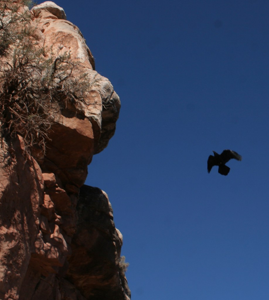
Grand Canyon National Park is generally considered one of the seven natural wonders of the world. Billions of years of geologic history have been laid bare by the cutting power of the Colorado River. It is cliché but true, you simply have to see this icon with your own eyes. It can be overwhelming. So can the crowds on the South Rim, but those tend to thin out if you hike a mile or two down a trail. If you have the time during the summer months, be sure to drive five hours over the forested Kaibab Plateau to reach the North Rim (which is only 10 miles away as the raven flies).
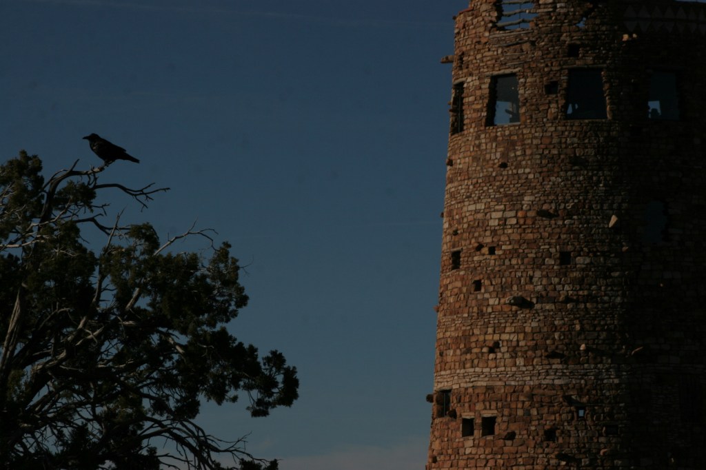
Desert View Watchtower, Hopi House, El Tovar Hotel, Phantom
Ranch, Toroweap Overlook, whitewater rafting the Colorado River
Must-Do Activity
Growing up in Arizona, Scott used to visit this park frequently, but he feels he never got to know it until he hiked to the bottom in 2016. Even if you only go a couple thousand feet down in elevation on the Grandview Trail or busy Bright Angel Trail, it will give you a new perspective on the canyon.
Best Trail
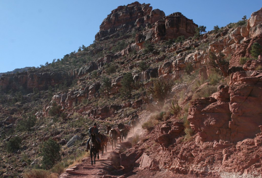
We day hiked the 18 miles from South Kaibab Trailhead (7200 feet elevation) down to Phantom Ranch (2500 feet) where we filled up with water on the way back up to Bright Angel Trailhead (6800 feet, with multiple water stations on the trail). Backcountry permits can turn this into a multiple day trek, but then you have to carry all your gear out.
Photographic Opportunity
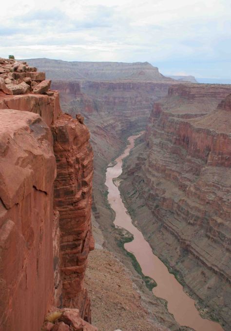
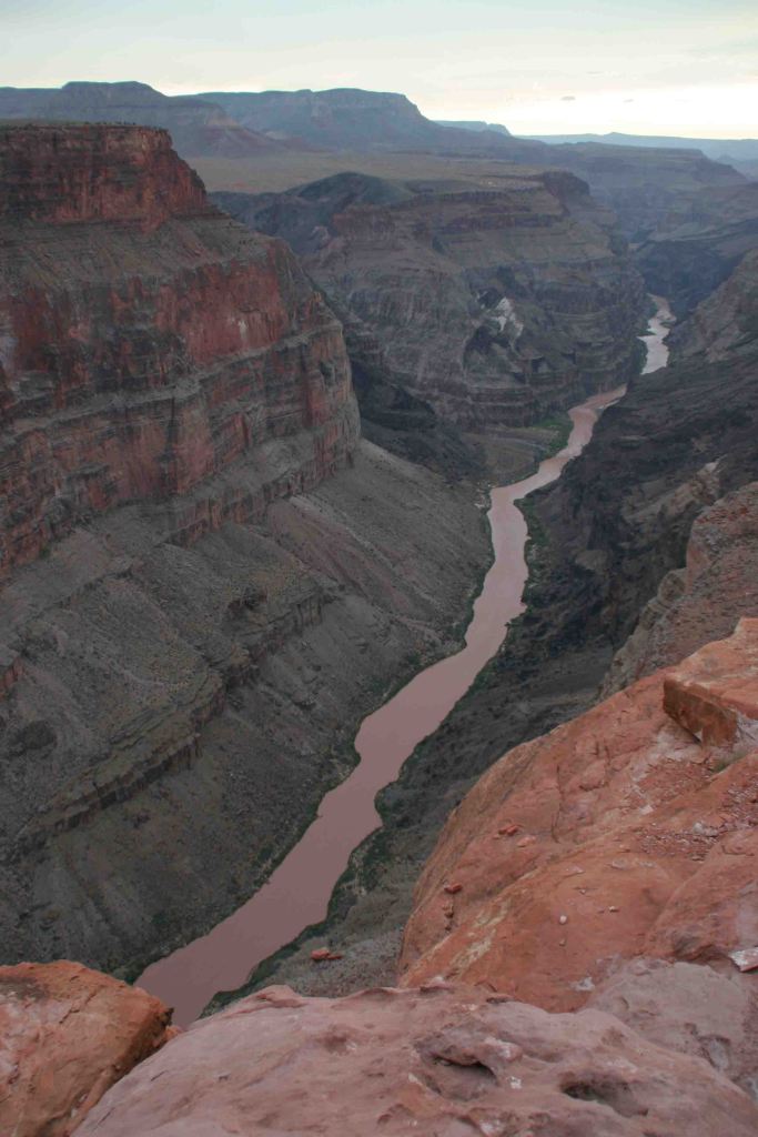
It is an arduous 90-mile one-way drive down a mostly dirt road to access Toroweap Overlook (free online permit required before arrival), but there is a reason photos from this fantastic overlook show up everywhere since the canyon walls are nearly vertical here.
Peak Season
Summer when it is very hot inside the canyon, though it can also be busy around the spring, fall, and December holidays.
Most roads are paved, and except for the very end of the 90-mile long graded dirt road to Toroweap Overlook is accessible to all passenger vehicles (free permit required).
Camping
The park has campgrounds on both rims, but you can also find dispersed camping in the neighboring Kaibab National Forest.
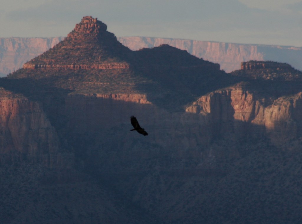
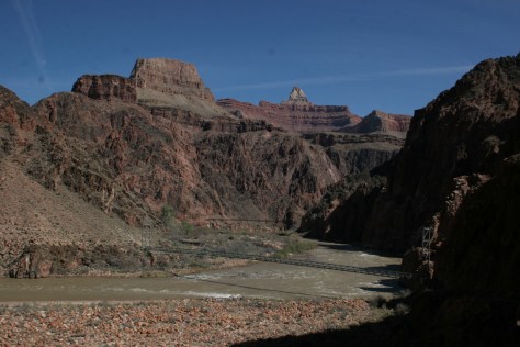
Raven at WatchtowerOn the South Kaibab TrailA view of the two bridgesOn the Bright Angel TrailThe historic El Tovar Hotel opened in 1905Toroweap OverlookRaven about the park
This design we created to celebrate Grand Canyon National Parkis available on a variety of products at Cafe Press and Amazon.