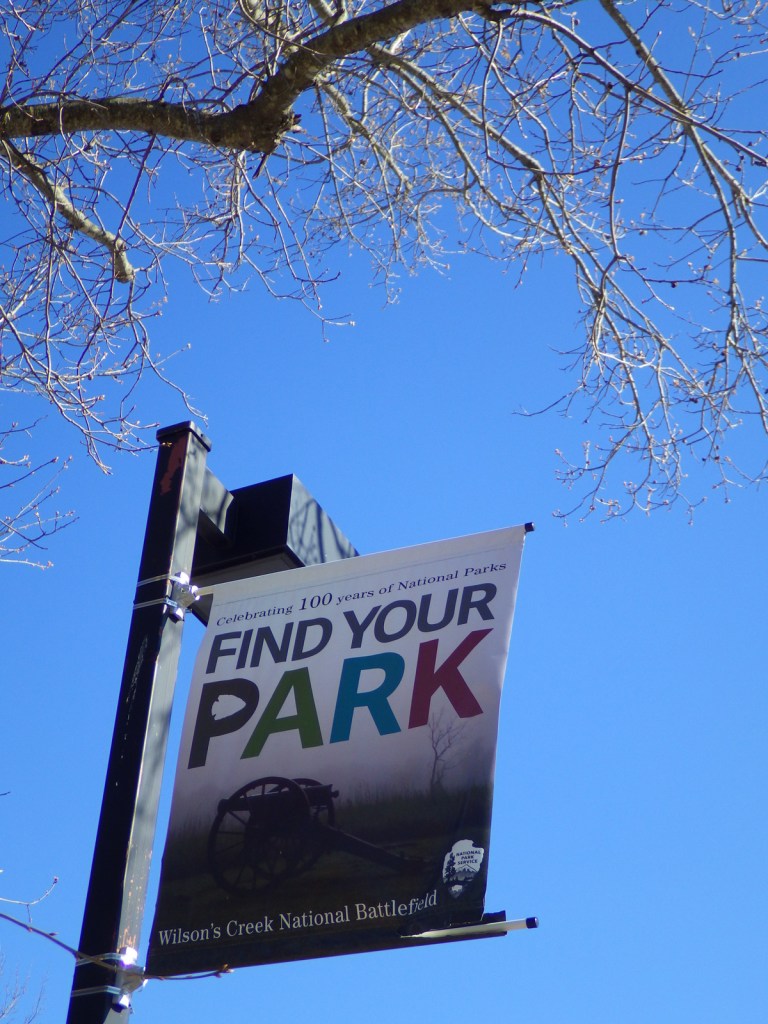
Overview
In the midst of the Civil War, a Republican-dominated legislature passed the Homestead Act of 1862, which allowed citizens to stake a claim to 160 acres of unappropriated government land. Until its repeal in 1976, over 270-million acres across 30 states were transferred from public land to private ownership under this law. Potential landowners had to apply and pay a fee then “prove up” their claim by farming at least 10 acres and building a home within five years. Nebraska’s Homestead National Monument of America was authorized in 1936 to remember this era of settlement and renamed in 2021.
Highlights
Heritage Center, film, Palmer-Epard cabin, Freeman School, restored tallgrass prairie
Must-Do Activity
Since 1939, half of this 200-acre piece of land has been managed to resemble the tallgrass prairie that existed here when the Freeman family claimed this T-shaped homestead on January 1, 1863. It was one of the first farms started after passage of the Homestead Act by Congress. Inside the Heritage Center, there are many unique exhibits that tell the story of settlement across the western United States of America (plus Florida). Do not forget to stop by the Education Center and one-room Freeman Schoolhouse that was used from 1872 to 1967.
Best Trail
At the park, 2.5 miles of walking trails connect the museums at the Heritage Center and the Education Center, passing by hedgerows of Osage-orange trees.
Instagram-worthy Photo
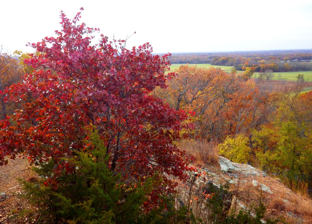
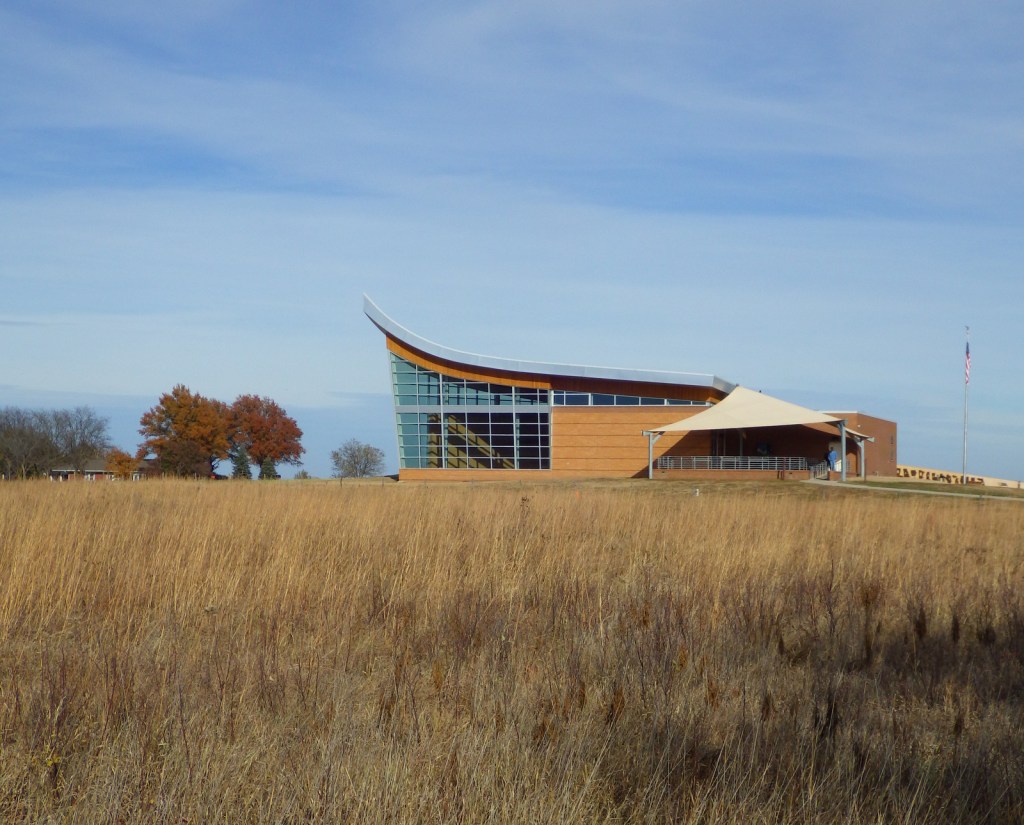
The Heritage Center’s roofline is designed to resemble a single-bottom plow stands and it sits at the edge of a restored tallgrass prairie ecosystem. Similar to Fort Scott National Historic Site and Tallgrass Prairie National Preserve in Kansas, prescribed fire is used here to promote the growth of native plants.
Peak Season
Summer
Hours
https://www.nps.gov/home/planyourvisit/hours.htm
Fees
None
Road Conditions
All roads paved except a short section to access the parking lot for the Freeman School. The parking lot at the Heritage Center is exactly one acre in size to help visitors visualize the 10 acres required to farm for “proving up” a homestead.
Camping
Four miles east of the park, Beatrice, Nebraska has two city parks with campgrounds.
Related Sites
Tallgrass Prairie National Preserve (Kansas)
Scotts Bluff National Monument (Nebraska)
Hubbell Trading Post National Historic Site (Arizona)
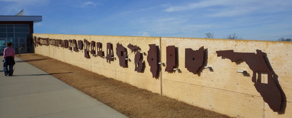
Each map shows the portion of each state that was homesteaded 
Big portions of the Great Plains were homesteaded 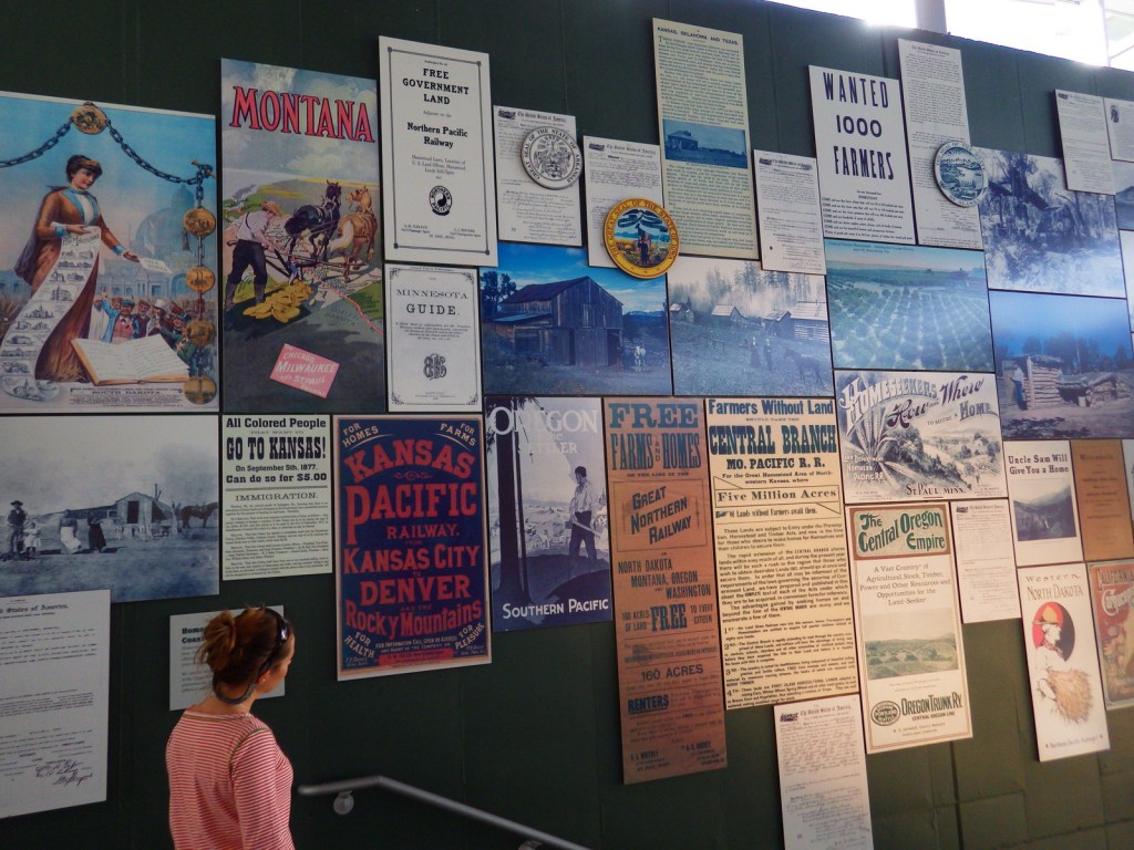
Tiff at the entrance to the museum in the Heritage Center 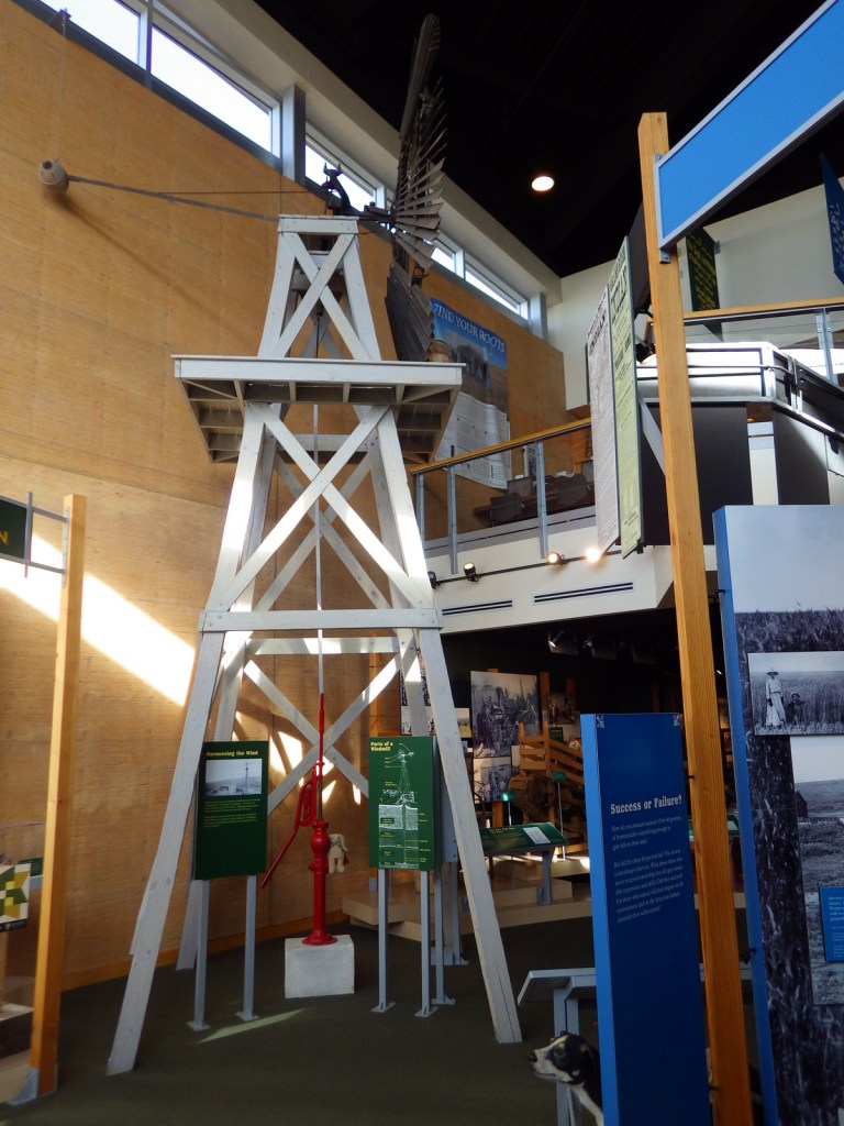
Inside the Heritage Center 
A goat treadill that helped power a sewing machine 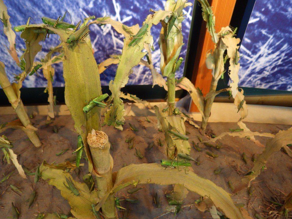
Locusts! 

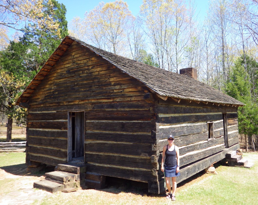
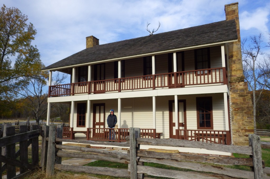
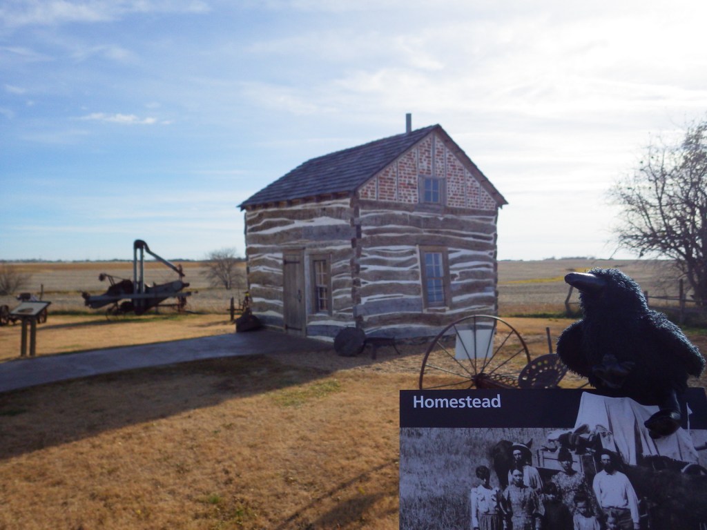
The Palmer-Epard cabin was built nearby in 1867 and moved here to demonstrate an 1880s home. 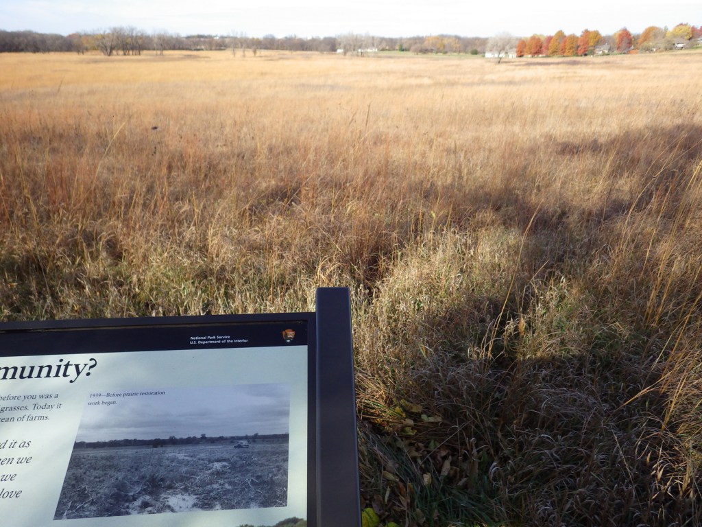
The black and white photo shows the prairie before restoration work began in 1939 
Osage-orange trees are commonly planted in windbreaks
Explore More – Which First Amendment right was first challenged in court because of its use in teaching at the one-room Freeman School?

We are a participant in the Amazon Services LLC Associates Program, an affiliate advertising program designed to provide a means for us to earn fees by linking to Amazon.com and affiliated sites.