Tag Archives: camping

Humboldt National Forest

Humboldt National Forest

Nevada

Managed by U.S. Forest Service, Intermountain Region

2,618,165 acres (2,401,079 federal/ 217,086 other)

Website: https://www.fs.usda.gov/htnf

Overview

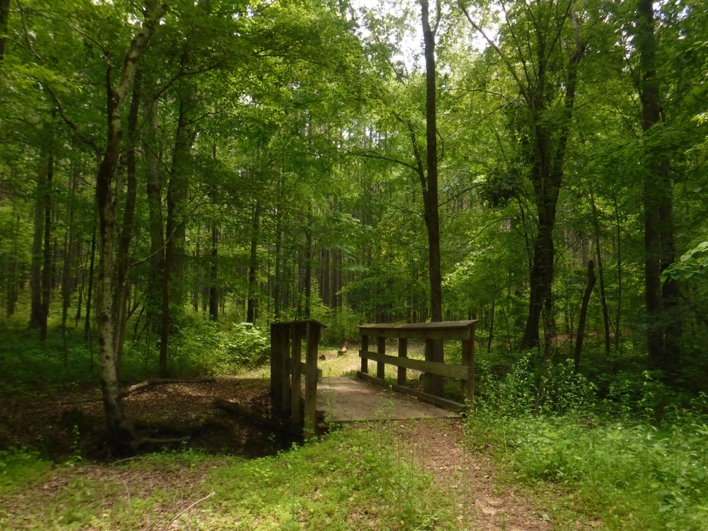
Ruby Mountains National Forest was established on May 3, 1906 and two years later it was joined with Independence National Forest to create Humboldt National Forest.  In 1995, Humboldt and Toiyabe National Forests combined their 6.3-million acres to become the largest National Forest outside Alaska.  Spread across separate mountain ranges that rise above the Great Basin Desert, Humboldt National Forest consists of the more northeasterly sections of the two National Forests.  Much of its acreage in the Snake Range was claimed as part of Great Basin National Park in 1986, but it still encompasses 12,050-foot Mt. Moriah. 

Highlights

Lamoille Canyon Scenic Byway, Ruby Mountains, Success Loop Drive, Angel Lake, Currant Mountain, Santa Rosa Range, Three Day Creek Trail, Ruby Crest National Recreation Trail

Must-Do Activity

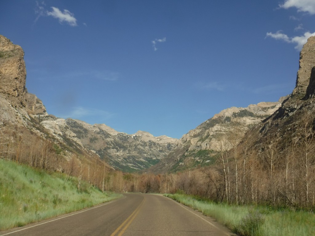
The Ruby Mountains south of Interstate 80 near Elko are perhaps the most accessible area, with roads dead-ending at the gorgeous Angel Lake Campground and after 12 miles on the paved Lamoille Canyon Scenic Byway.  West of Elko on Interstate 80, the Bureau of Land Management (BLM) runs an excellent visitor center dedicated to the California National Historic Trail.  Colorful displays and sculptures make this one of the best government-run museums in the country and admission is free.  It is situated near where the Hastings Cutoff reconnected with the main California Trail following the Humboldt River.  The Hastings Cutoff skirted the eastern edge of the Ruby Mountains and was utilized by the infamous Donner party in 1846.  This same route that crossed Overland Pass was later part of the Pony Express Trail.
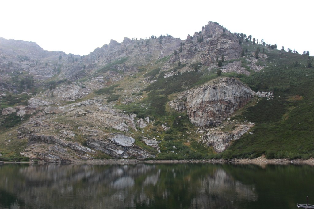
Best Trail

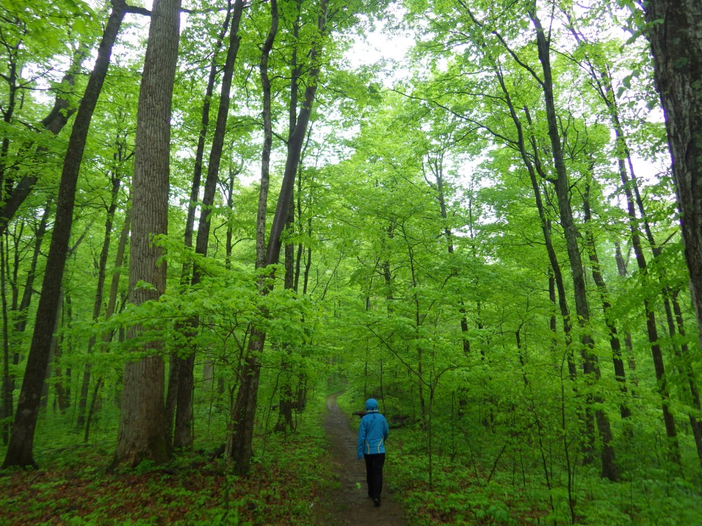
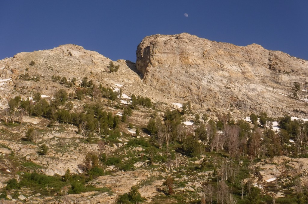
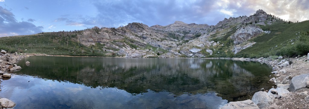
Starting at the end of Lamoille Canyon Scenic Byway, the 43-mile-long Ruby Crest National Recreation Trail passes Dollar and Lamoille Lakes as it steeply climbs to Liberty Pass.  You do not need to hike far to appreciate the beauty of the glacier-carved valley ringed by jagged alpine peaks.  The trail ends at Harrison Pass where a road still uses the same route that the Bidwell-Bartleson party took in 1841.  There are long stretches of the trail that do not have access to water, including a ten-mile section from North Furlong Lake to Overland Lake.

Watchable Wildlife

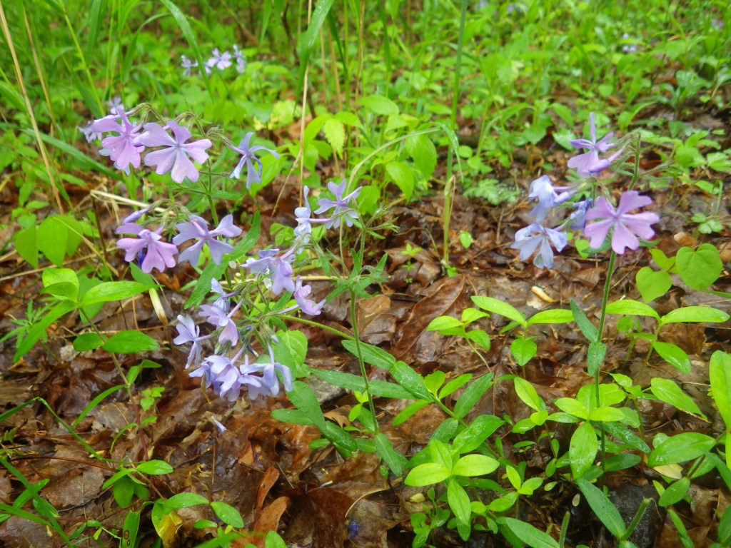
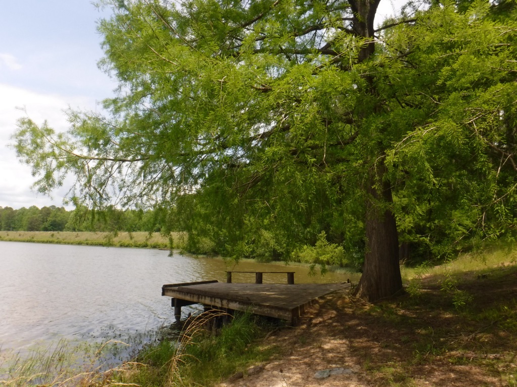
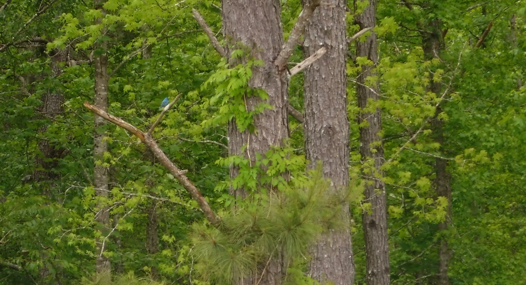
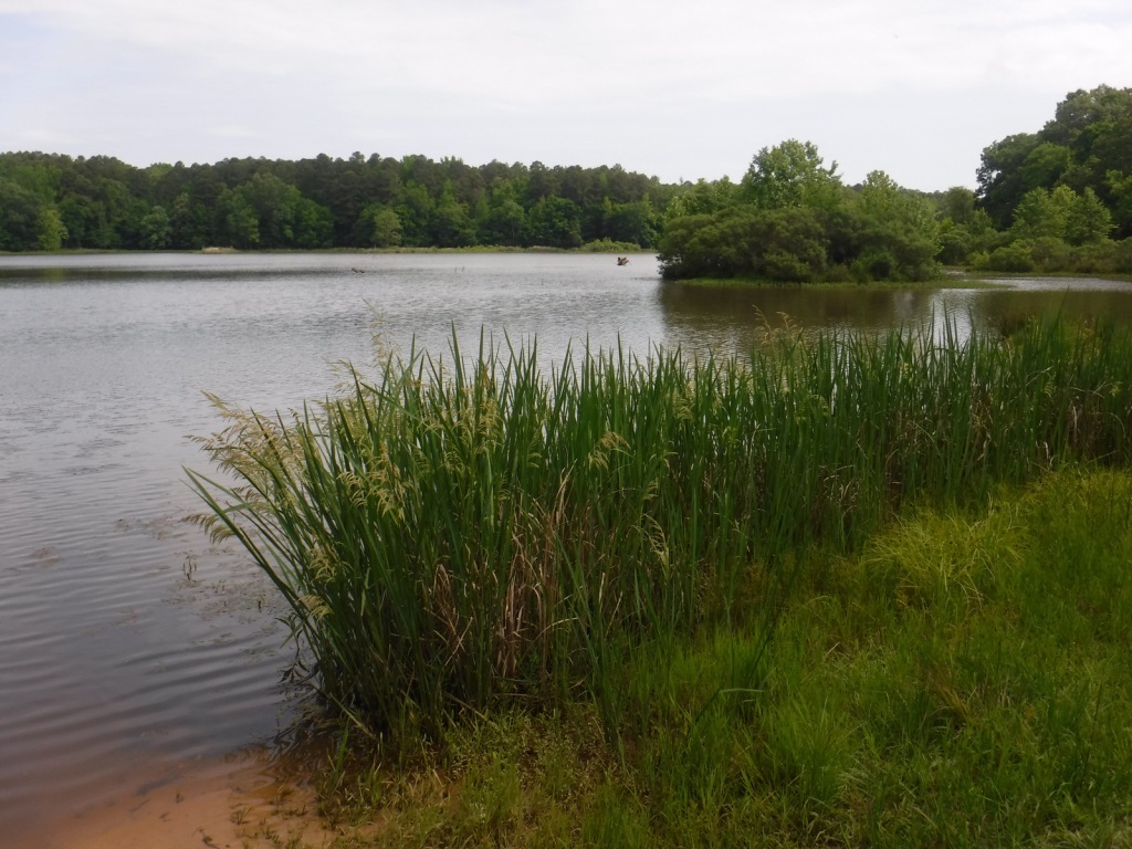
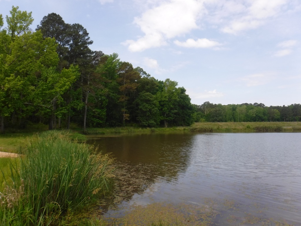
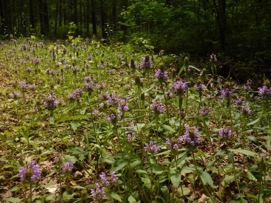
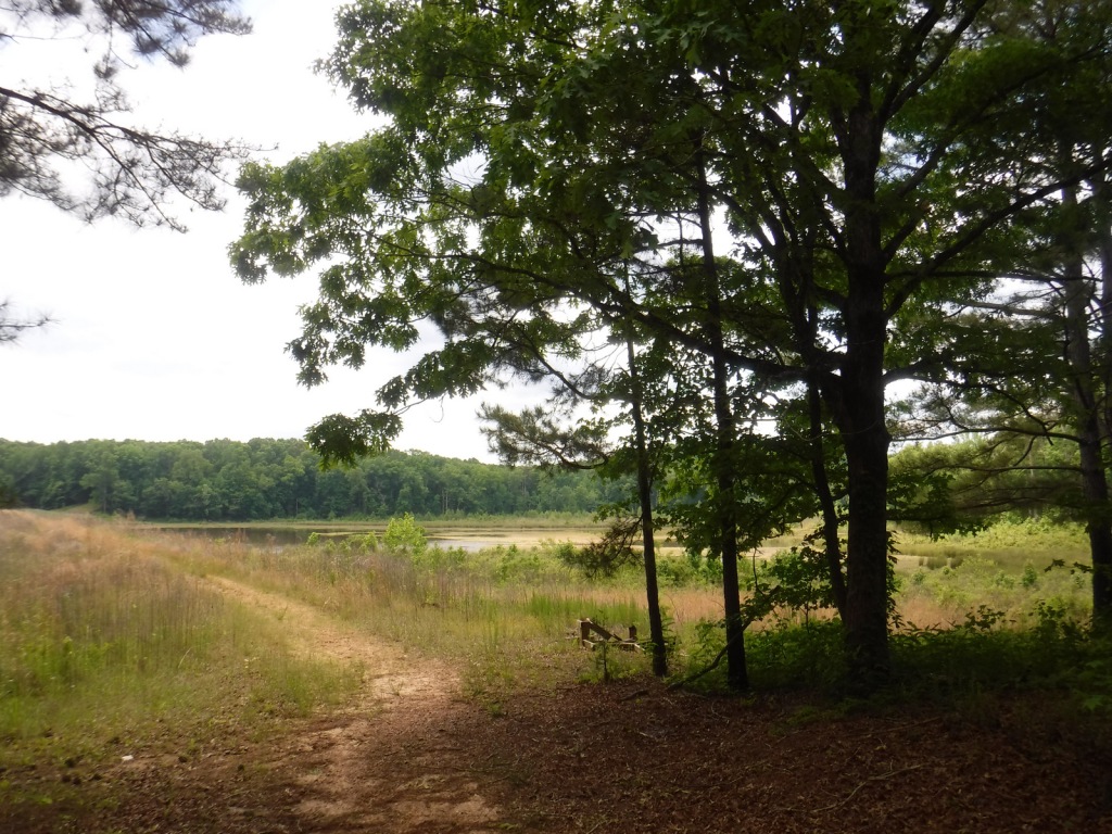
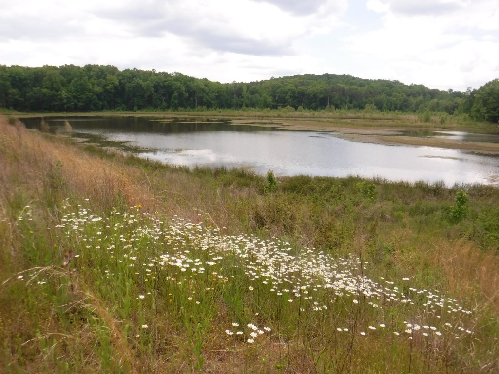
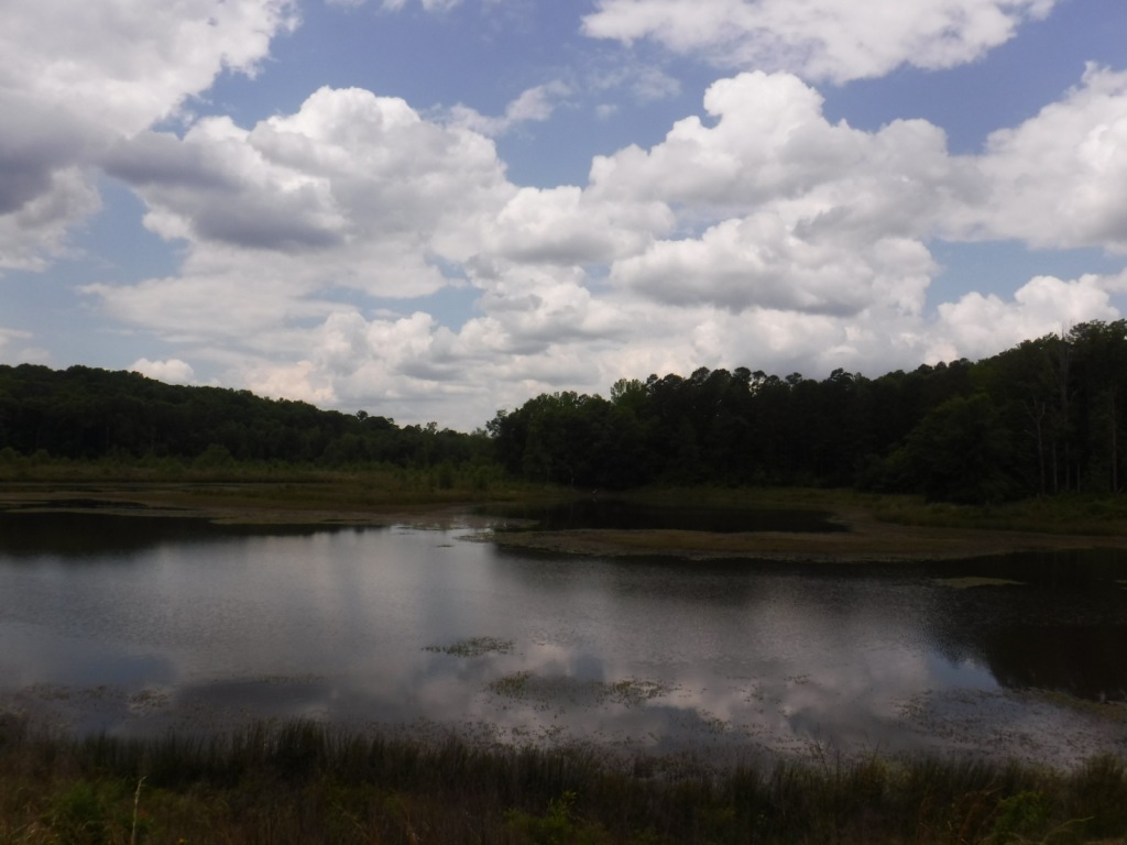
More than 85% of Nevada is federally-owned land run mostly by the military and BLM.  That acreage also includes Ruby Lake and Sheldon National Wildlife Refuges, two of several large refuges in the state.  The lakes there and in Humboldt National Forest provide habitat for trout and other fish, as well as migratory birds like Canada geese and white pelicans.  Chukars and Himalayan snowcocks are two introduced Asian bird species that have become popular targets for hunters.  The steep mountains provide thermals for soaring raptors like red-tailed hawks, Swainson’s hawks, and turkey vultures.  Due to the extreme elevation gradients in the basin and range topography, mammals include desert dwellers like kangaroo rats and alpine residents like American pikas, in addition to the more commonly seen mule deer and coyotes.

Instagram-worthy Photo

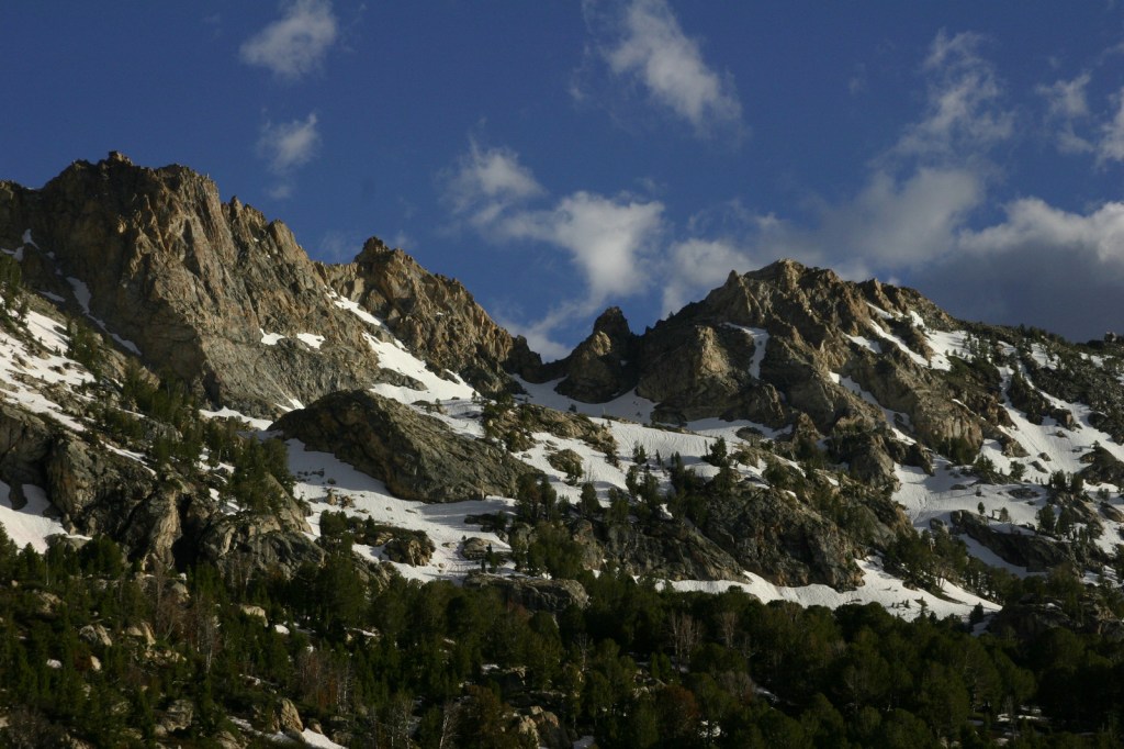
At the end of the 12-mile paved Lamoille Canyon Scenic Byway, you are surrounded by jagged mountains and at the beginning of the 43-mile-long Ruby Crest National Recreation Trail.

Peak Season

Summer

Fees

$5 day-use fee at Angel Lake

Road Conditions

Lamoille Canyon Scenic Byway is paved and the unpaved road to Angel Lake Campground is in good shape.
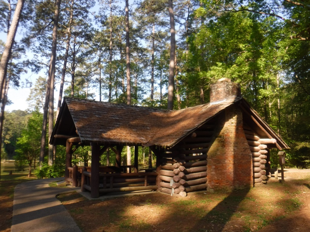
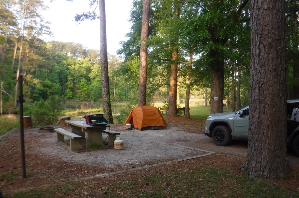
Camping

The gorgeous Angel Lake Campground made our list of the Top 10 Campgrounds in National Forests, plus there are two designated campgrounds and a couple dispersed campsites along Lamoille Canyon Scenic Byway.
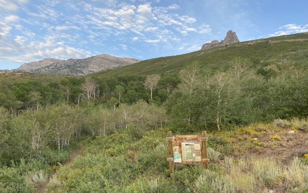
Wilderness Areas

Bald Mountain Wilderness

Currant Mountain Wilderness

East Humboldt Wilderness

Grant Range Wilderness

High Schells Wilderness

Jarbidge Wilderness

Mt. Moriah Wilderness (also managed by BLM)

Quinn Canyon Wilderness

Red Mountain Wilderness

Ruby Mountains Wilderness

Santa Rosa-Paradise Peak Wilderness

Shellback Wilderness

White Pine Range Wilderness

Related Sites

Toiyabe National Forest (Nevada-California)

City of Rocks National Reserve (Idaho)

Lassen Volcanic National Park (California)

Nearest National Park

Great Basin

Conifer Tree Species

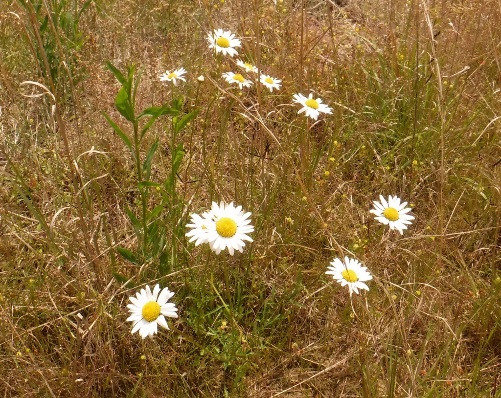
Great Basin bristlecone pine, ponderosa pine, Engelmann spruce, California red fir, white fir

Flowering Tree Species

quaking aspen, greenleaf manzanita, sagebrush

Explore More – What was the country of origin of Alexander von Humboldt, a scientist who travelled extensively in the Americas between 1799 and 1804?

Learn more about this and the 154 other National Forests in our new guidebook Out in the Woods

Lincoln Boyhood National Memorial

Lincoln Boyhood National Memorial

Indiana

Managed by National Park Service

Established 1962

200 acres

Website: nps.gov/libo

Overview

In 1816, Thomas and Nancy Lincoln moved their two children, Sarah and Abraham, from Hodgenville, Kentucky to a 160-acre farm in southern Indiana.  The future-President Abraham Lincoln lived there 14 years until he turned 21 and the family relocated to Illinois.  In 1818, his mother Nancy Hanks Lincoln died of milk poisoning because a dairy cow had eaten white snakeroot plant, and visitors can learn more about the poison tremetol in the Memorial Visitor Center and stop at her memorial stone in the pioneer cemetery (although her exact burial place is unknown).

Highlights

Museum, film, Abraham Lincoln Hall, U.S. Post Office, cemetery, spring, Living Historical Farm, Cabin Site Memorial

Must-Do Activity

Start at the Memorial Visitor Center to visit the museum inside and use the U.S. Post Office if needed.  If the weather is nice, take a walk past the pioneer cemetery to the Cabin Site Memorial where a bronze casting of sill logs and the fireplace hearthstones are at the site of the Lincoln’s cabin begun in 1829.  The Living Historical Farm has costumed interpreters in the summer that depict homestead life at an authentic cabin and several outbuildings that were moved here from other parts of Indiana.

Best Trail

It is about one mile roundtrip to walk from the museum to the Living Historical Farm and then return on the Trail of Twelve Stones.  There is a parking area closer to the Cabin Site Memorial, if you do not wish to walk the entire way.  The Boyhood Nature Trail offers an additional one-mile loop through the forest.

Instagram-worthy Photo

The five relief panels on the outside of the Memorial Visitor Center were created from Indiana limestone by E.H. Daniels to depict different periods in Abraham Lincoln’s life.  The building was constructed in the 1940s by the state of Indiana and given to the National Park Service when they took over the site in 1962.

Peak Season

Summer when living history demonstrations occur

Hours

https://www.nps.gov/libo/planyourvisit/hours.htm

Fees

None

Road Conditions

All roads are paved

Camping

There is a campground with running water and RV hookups at adjacent Lincoln State Park.

Related Sites

Abraham Lincoln Birthplace National Historical Park (Kentucky)

Lincoln Home National Historic Site (Illinois)

Lincoln Memorial (District of Columbia)

Hoosier National Forest (Indiana)

Explore More – How many step-siblings did Abraham Lincoln gain when his father wed the widow Sarah Bush Johnston from Kentucky in 1819?

Hoosier National Forest

Hoosier National Forest

Indiana

Managed by U.S. Forest Service, Eastern Region

644,214 acres (202,814 federal/ 441,400 other)

Website: https://www.fs.usda.gov/hoosier

Overview

Southern Indiana’s Hoosier National Forest was created in 1935 from cutover and abandoned farm land.  Six years later an additional 88 acres of old-growth forest was purchased that became Pioneer Mothers Memorial Forest, which has never been cut and is used to study natural succession.  A 0.8-mile trail runs through the woods and accesses the Indiana Pioneer Mothers Memorial and Lick Creek Settlement Site.  The latter was a community of free African-Americans led by the Quaker Jonathan Lindley from 1819 to 1865, and located nearby is an archaeological site where there was a stockaded village in the 1300s. 

Highlights

Pioneer Mothers Memorial Forest, Monroe Lake, Hickory Ridge Lookout Tower, German Ridge Lake, Lick Creek Settlement Site, Sundance Lake, Potts Creek Rockshelter Archeological Site, Lake Tarzian, Rickenbaugh House, Tipsaw Lake, Buzzard Roost Overlook, Clover Lick Barrens, Hardin Ridge Recreation Area, Birdseye Trail, Hemlock Cliffs Trail

Must-Do Activity

There are 266 miles of trails in Hoosier National Forest, including the 36.3-mile Terrill Ridge Trail that enters the Charles C. Deam Wilderness (Indiana’s one and only) and the 24.1 miles of trails around German Ridge Lake.  Horse camps provide access to miles of bridle trails, including the 48.7-mile Hickory Ridge Trail.  Many of the National Forest’s trails are old roads (even in the Wilderness), so while hiking watch for evidence of house foundations, fences, domestic plants, and cemeteries.

Best Trail

Hemlock Cliffs Trail is a 1.2-mile loop through a sandstone canyon that passes two unique waterfalls.  Tall eastern hemlock trees surround both waterfalls that you can walk behind where the cliffs are undercut by erosion in this crumbly sedimentary rock.  The falls only flow seasonally, but when they do the trail is often muddy and slippery, so take caution. 

Watchable Wildlife

In 1972, wild turkeys were reintroduced to 6,000 acres around Clover Lick Barrens, an area of prairie vegetation.  Other birds of interest include red-shouldered hawks, sharp-shinned hawks, scarlet tanagers, and pileated woodpeckers.  Timber rattlesnakes and copperheads are two venomous snake species found here.  Mammals include fox squirrels, raccoons, and white-tailed deer, which attract hunters in season.

Instagram-worthy Photo

Southern Indiana is known for its Karst topography, which often forms limestone caves, as well as some beautiful Swiss-cheese formations that can be seen along the Hemlock Cliffs Trail.

Peak Season

Summer

Fees

None

Road Conditions

Road access is paved to the pullout for the Pioneer Mothers Memorial Forest, and the unpaved road to Hemlock Cliffs Trailhead was a good enough for our mini-van.

Camping

There are horse camps at Shirley Creek, Blackwell, Hickory Ridge, and Youngs Creek, in addition to other campgrounds dispersed throughout Hoosier National Forest.

Wilderness Areas

Charles C. Deam Wilderness

Related Sites

Shawnee National Forest (Illinois)

Lincoln Boyhood National Memorial (Indiana)

George Rogers Clark National Historical Park (Indiana)

Nearest National Park

Indiana Dunes

Conifer Tree Species

eastern hemlock, eastern white pine, shortleaf pine, eastern redcedar

Flowering Tree Species

American beech, tulip-poplar, basswood, Ohio buckeye, white ash, green ash, American elm, winged elm, black walnut, white oak, northern red oak, black oak, chinquapin oak, rock chestnut oak, post oak, blackjack oak, sugar maple, red maple, ironwood, sassafras, black cherry, black gum, black walnut, honeylocust, Kentucky coffeetree, flowering dogwood, redbud, basswood, sycamore, mockernut hickory, shagbark hickory, pawpaw, slippery elm, butternut, hophornbeam, sweetgum, mountain laurel

Explore More – Who was Charles C. Deam, the namesake for the only Wilderness in Indiana (designated in 1982)?

Learn more about this and the 154 other National Forests in our new guidebook Out in the Woods

Homochitto National Forest

Homochitto National Forest

Mississippi

Managed by U.S. Forest Service, Southern Region

373,497 acres (191,839 federal/ 181,658 other)

Website: https://www.fs.usda.gov/recarea/mississippi/recarea/?recid=28865

Overview

In southwest Mississippi, Homochitto National Forest is comprised of former cotton fields purchased and replanted with trees by the federal government in the 1930s.  It is named for the 90-mile-long Homochitto (“huh-mah-CHIT-ah”) River that runs through the forest on its way to the Mississippi River south of Natchez.  All six National Forests in Mississippi are managed as one administrative unit, including Bienville, De Soto, Delta, Holly Springs, Homochitto, and Tombigbee National Forests.  The Homochitto district ranger station is located in Meadville.

Highlights

Clear Springs Lake Recreation Area, Pipes Lake Recreation Area, Mt. Nebo Recreation Area, Stephenson Lookout Tower, Pellucid Bayou, Brushy Creek Loop, Tally’s Creek Trail, Richardson Creek Trail

Must-Do Activity

Homochitto National Forest has developed facilities at three small lakes: Clear Springs, Pipes, and Mt. Nebo.  A one-mile trail encircles scenic Clear Springs Lake, which has a picnic shelter built by the Civilian Conservation Corps (CCC) in 1935 listed on the National Register of Historic Places.  Elsewhere, Brushy Creek Loop is a 5.7-mile horse trail that is not recommended for hikers due to abundant mud and manure.

Best Trail

Just north of the Clear Springs Lake Campground is a trailhead (fee) for three long hiking trails, also maintained for mountain biking.  Only the 10-mile-long Richardson Creek Trail was open during our visit with Tally’s Creek (10.8 miles) and Mill Branch (5.6 miles) closed due to downed trees.  The route was well-marked with red blazes and had several nice bridges as it wound through the forested hills around Richardson Creek.

Watchable Wildlife

Clear Springs Lake has a sign warning of alligators, but we did not see any reptiles other than painted turtles.  While camping overnight we heard what possibly was a frog making an interesting call that sounded like a lightsaber from Star Wars.  Birds we spotted were a wild turkey, cardinal, goldfinch, and tufted titmouse.  It is likely the National Forest allows hunting for white-tailed deer, wild turkey, ducks, and invasive wild pigs.  Fishing for largemouth bass, catfish, and other species is allowed at Clear Springs, Pipes, and Mt. Nebo Lakes.

Instagram-worthy Photo

The picnic shelter at Clear Springs Lake was built by the Civilian Conservation Corps (CCC) in 1935 and is listed on the National Register of Historic Places. 

Peak Season

Spring and fall

Fees

Clear Springs Lake Recreation Area charges a day use fee of $5 per vehicle or half price with the America the Beautiful pass. 

Road Conditions

The road is paved to Clear Springs Lake, about 32 miles east of Natchez.

Camping

There is a nice campground with showers on Clear Springs Lake, accessed by a paved road four miles south of Highway 84.  Campsites with hookups cost $20 per night and those without cost $7. 

Wilderness Areas

None

Related Sites

De Soto National Forest (Mississippi)

Natchez National Historical Park (Mississippi)

Natchez Trace National Scenic Trail (Mississippi-Alabama-Tennessee)

Nearest National Park

Hot Springs

Conifer Tree Species

baldcypress, shortleaf pine, loblolly pine, longleaf pine

Flowering Tree Species

tulip-poplar, American beech, water oak, Nuttall oak, cherrybark oak, southern red oak, sweet bay, red maple, swamp red maple, horse sugar, chesnut oak, sweetgum, devil’s walkingstick, American holly, hophornbeam, southern magnolia, umbrella magnolia, tupelo gum, flowering dogwood

Explore More – The Homochitto River still carries its Choctaw name, which translates as what?

Learn more about this and the 154 other National Forests in our new guidebook Out in the Woods

Holly Springs National Forest

Holly Springs National Forest

Mississippi

Managed by U.S. Forest Service, Southern Region

519,943 acres (155,661 federal/ 364,282 other)

Website: https://www.fs.usda.gov/recarea/mississippi/recarea/?recid=28851

Overview

In northern Mississippi, Holly Springs National Forest was established in 1936 on abandoned agricultural land and it still encompasses 364,282 acres of private property.  To help control erosion, the area was planted by the Civilian Conservation Corps (CCC) with loblolly pine seedlings.  All six National Forests in Mississippi are managed as one administrative unit, including Bienville, De Soto, Delta, Holly Springs, Homochitto, and Tombigbee National Forests.  The Holly Springs district ranger station is headquartered not in the town of Holly Springs, but rather in nearby Oxford, home of the University of Mississippi (or Ole Miss).

Highlights

Chewalla Lake, Puskus Lake, Benton Lookout Tower, Lake Tillatoba, Baker’s Pond Hiking Trail, North Cypress Non-Motorized Trail

Must-Do Activity

There are many small lakes and ponds throughout this region, some of them accessible from boat ramps on National Forest land.  Chewalla Lake Recreation Area is the most developed site offering a swimming beach and campground, plus fishing and boating opportunities.  A 2.3-mile trail at the 260-acre lake passes an overlook and a reconstructed Choctaw burial mound.  In Holly Springs National Forest’s northeast corner off Highway 72, a short trail accesses Baker’s Pond, the source of the Wolf River.  Further south, Lake Tillatoba is a fee-free primitive site managed by Tombigbee National Forest.

Best Trail

Open to hikers, mountain bikers, and horseback riders, North Cypress Non-Motorized Trail makes a three-mile loop marked by white blazes on trees through a lush green forest.  The most scenic stretch crosses the earthen dam creating North Cypress Lake where sweeping views allow for bird watching.  There are also short hiking trails at Chewalla Lake, Baker’s Pond, and Puskus Lake.

Watchable Wildlife

The National Forest’s lakes have largemouth bass, bluegill, catfish, and crappie that attract fishermen.  The forest also provides habitat for white-tailed deer, fox squirrels, raccoons, and wild turkeys.  We saw a red fox and our first indigo bunting on the North Cypress Non-Motorized Trail.

Instagram-worthy Photo

We spotted our first indigo bunting on the dam at North Cypress Lake, but did not have a zoom lens on hand.

Peak Season

Spring and fall

Fees

Chewalla Lake Recreation Area charges a day use fee of $5 per vehicle or America the Beautiful pass (half price with the Senior or Access Passes).  Puskus Lake charges $3 per day and $7 for camping.

Road Conditions

The William Faulkner Memorial Highway (Highway 30) is paved and the dirt roads off it to North Cypress Lake and Puskus Lake were in good enough shape for our passenger vehicle.

Camping

Free primitive camping is allowed at designated sites around the parking area for North Cypress Lake (see Best Trail), 0.6 miles south of Highway 30.  There is large campground on the west side of Chewalla Lake, offering nine sites with hookups ($20 per night) and 27 without ($7).  Free camping for only one night is allowed at Lake Tillatoba, only three miles off Interstate 55.

Wilderness Areas

None

Related Sites

Bienville National Forest (Mississippi)

Brices Cross Roads National Battlefield Site (Mississippi)

Shiloh National Military Park (Tennessee-Mississippi)

Nearest National Park

Hot Springs

Conifer Tree Species

baldcypress, loblolly pine, shortleaf pine

Flowering Tree Species

white oak, northern red oak, southern red oak, black oak, bitternut hickory, mockernut hickory, slippery elm, black cherry, flowering dogwood, redbud, tulip-poplar, black gum, basswood, hackberry, sweetgum, red maple, white ash, green ash, pumpkin ash, tupelo gum, American elm

Explore More – In 1983, which presidential administration proposed auctioning off the entirety of Holly Springs National Forest?

Learn more about this and the 154 other National Forests in our new guidebook Out in the Woods