Overview
California has nine National Parks, which is more than any other state, including Alaska. The newest is Pinnacles National Park, upgraded from a National Monument in 2013. Rising above the agricultural Salinas Valley, it does have quite a long history, going back even before President Theodore Roosevelt officially recognized its significance in 1908. The park’s West Entrance is accessible from Highway 101 and the East Entrance is closer to Interstate 5 and the Central Valley. It is actually faster to hike from one side to another, than to drive two hours around.
Learn more in our guidebook to the National Parks, A Park to Yourself: Finding Adventure in America’s National Parks (available on Amazon).
Highlights
Scenic views, talus caves, rock climbing, endangered California condors
Must-Do Activity
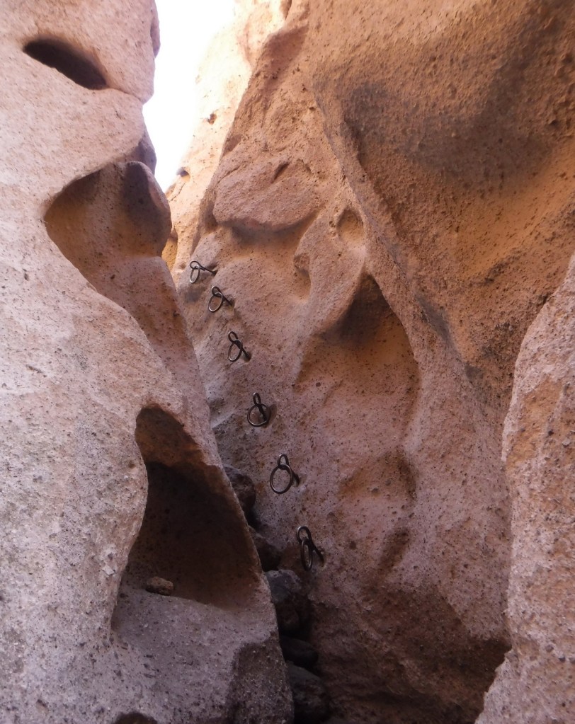
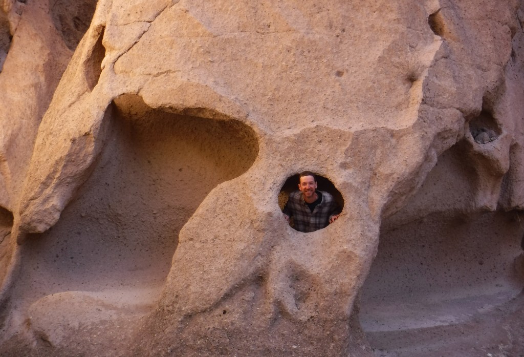
In addition to its striking rock spires, the park is known for talus caves, which are tunnels formed by boulders falling and catching between narrow canyon walls. Flashlights are necessary to navigate through them, although small gaps in the chaotic ceiling often allow shafts of light through in picturesque fashion. You might spot a bat flying through the caves, which are seasonally closed for their protection.
Best Trail
Mild temperatures make this a park for hiking in all seasons. Just be sure to hold onto the chains while navigating the Steep and Narrow section of the steep High Peaks Trail.
Instagram-worthy Photo
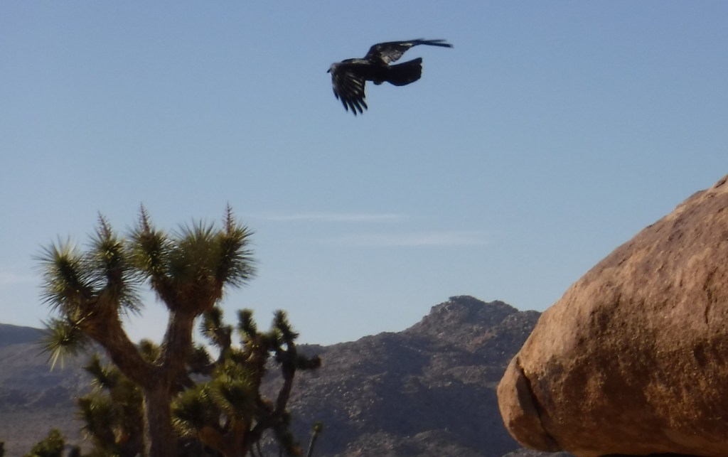
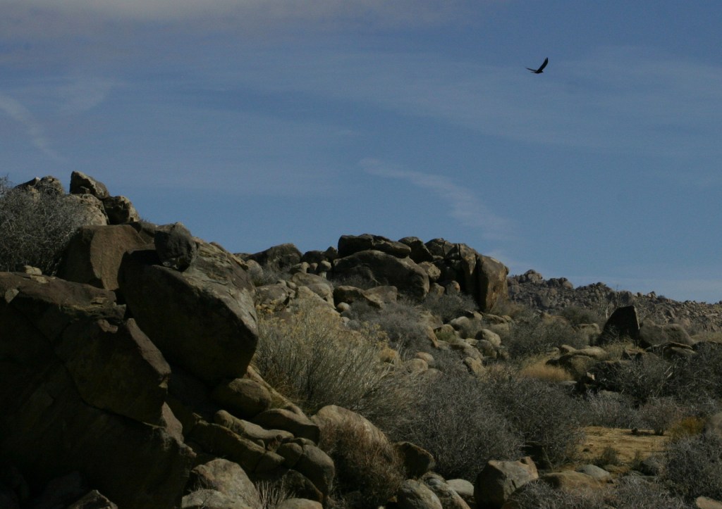
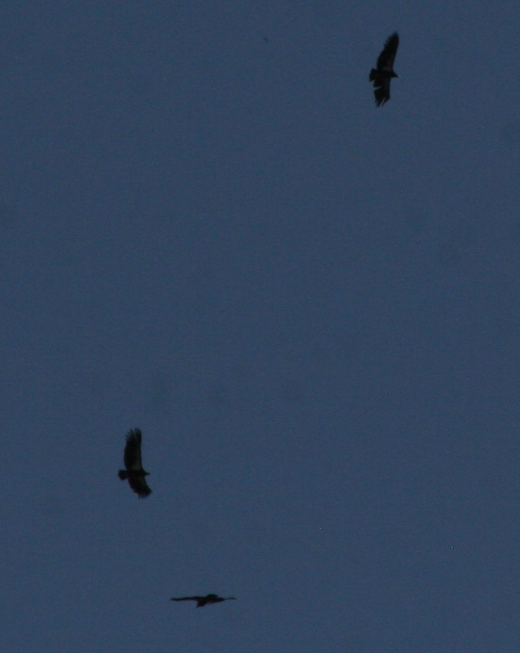
While you may not see a bat in the talus caves of Pinnacles National Park, it is likely you will spot the nine-foot wingspan of a California condor slicing the blue sky outside the caves. This is perhaps the most successful of all release sites for this species teetering on the brink of extinction.
Peak Season
Summer
Hours
https://www.nps.gov/pinn/planyourvisit/hours.htm
Fees
$30 per vehicle or America the Beautiful pass
Road Conditions
All roads are paved, but there is not a road connecting the East and West Entrances, which are about a two-hour drive apart.
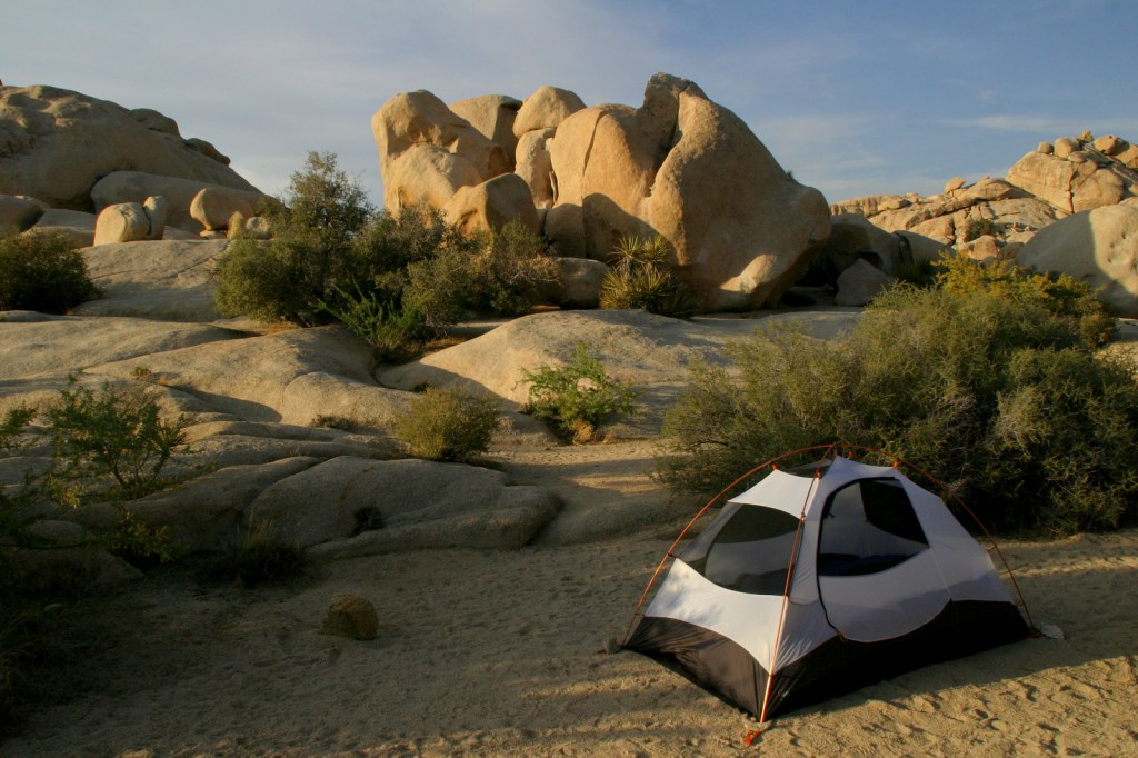
Camping
The West Entrance gate is locked every night as it is day use only, but there is a campground that takes reservations at the East Entrance. No backcountry camping is allowed.
Related Sites
Yosemite National Park (California)
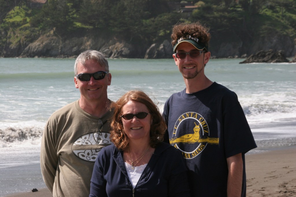
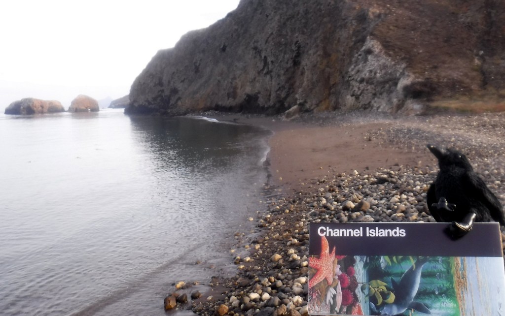
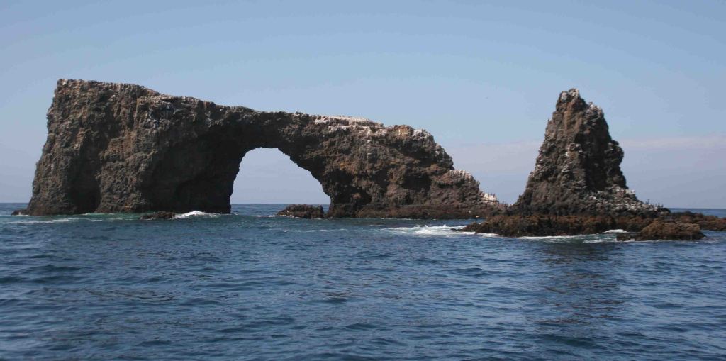
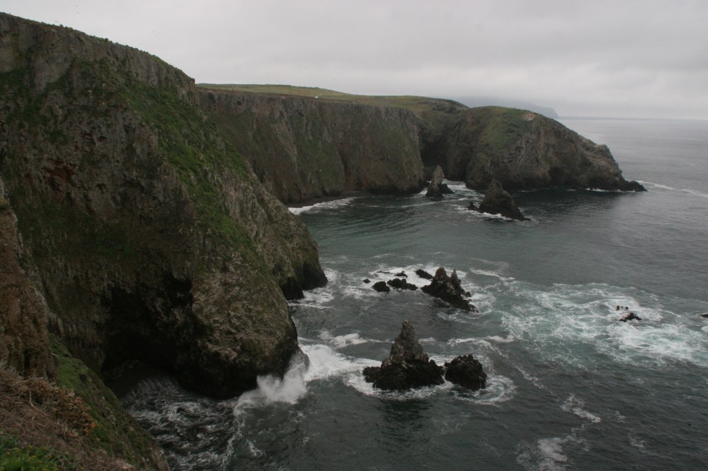
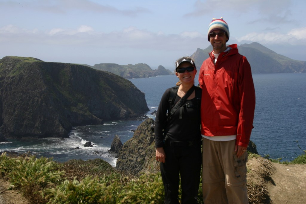
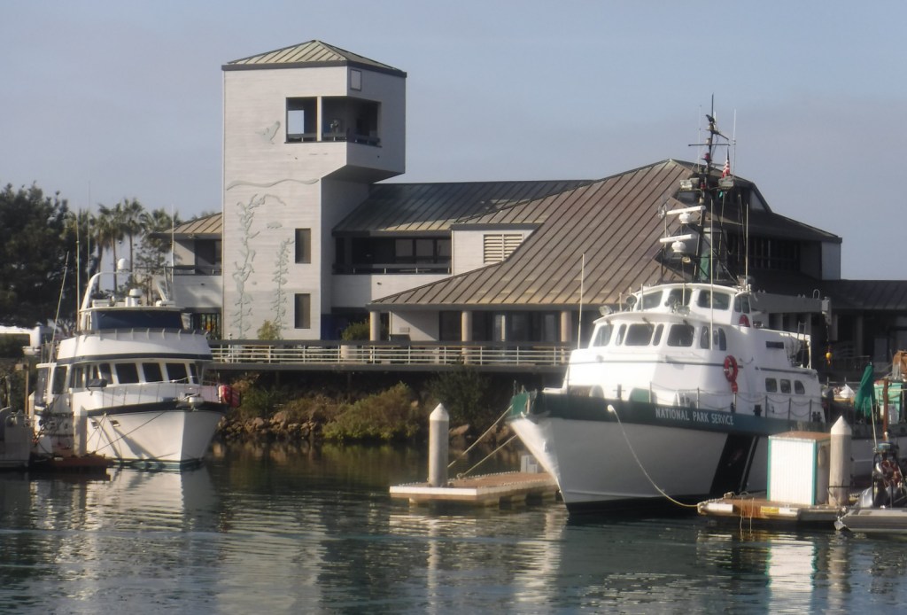
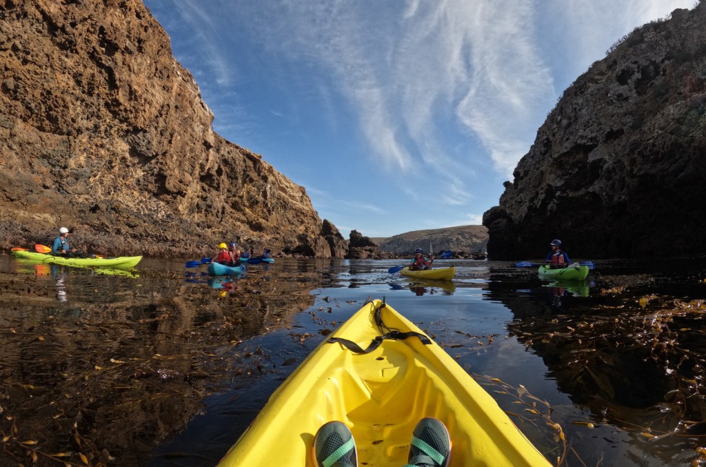
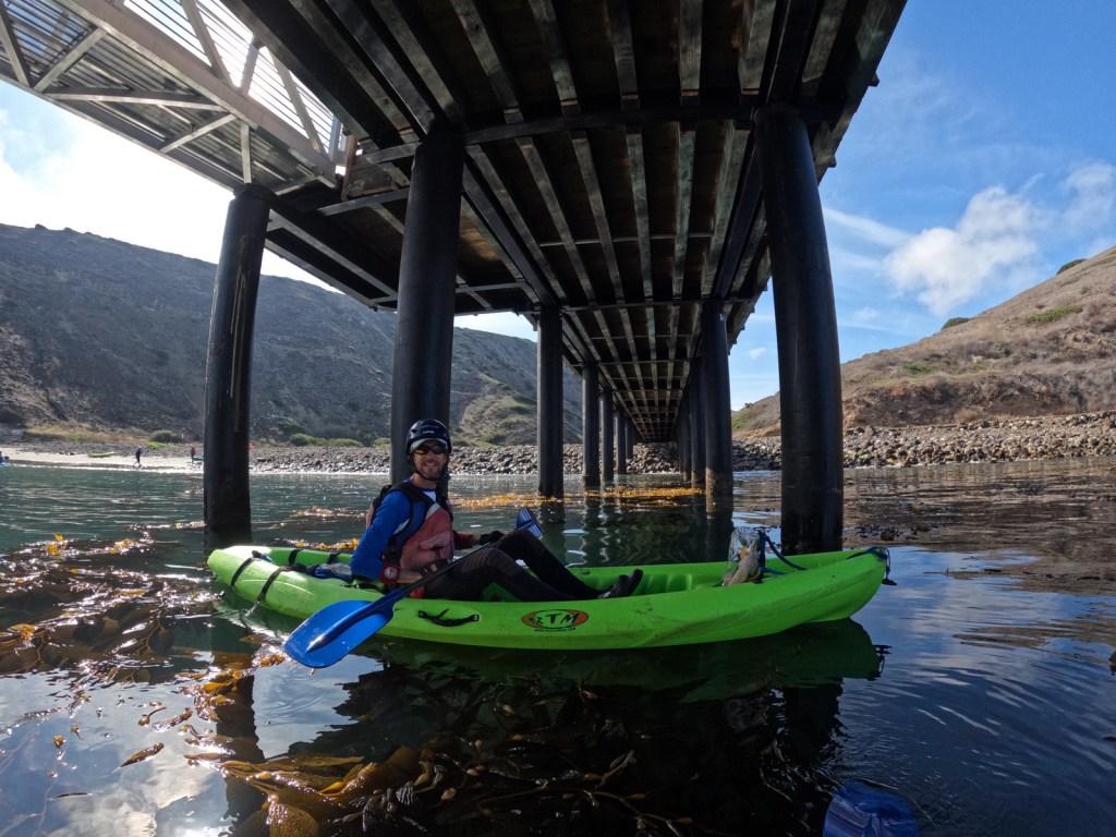
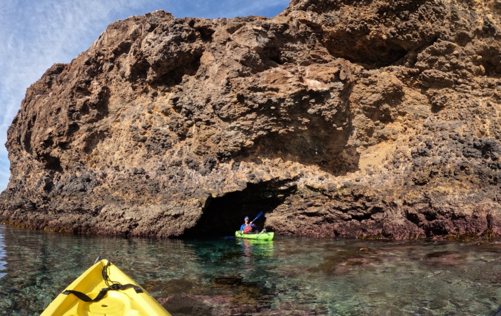
Channel Islands National Park (California)
Sequoia National Park (California)
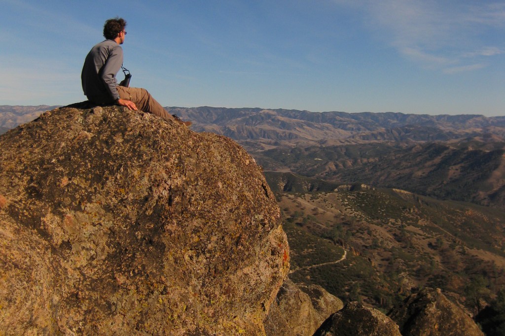
Scott on the High Peaks Trail 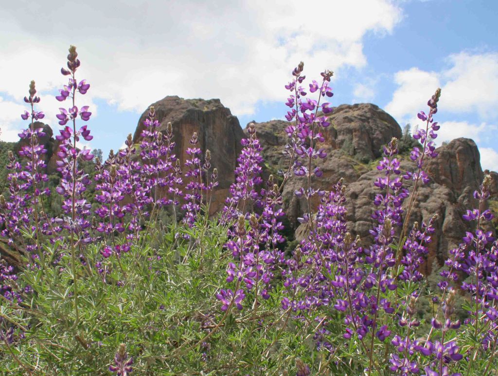
Lupine 
Tiff in a talus cave 
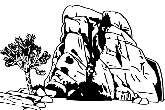
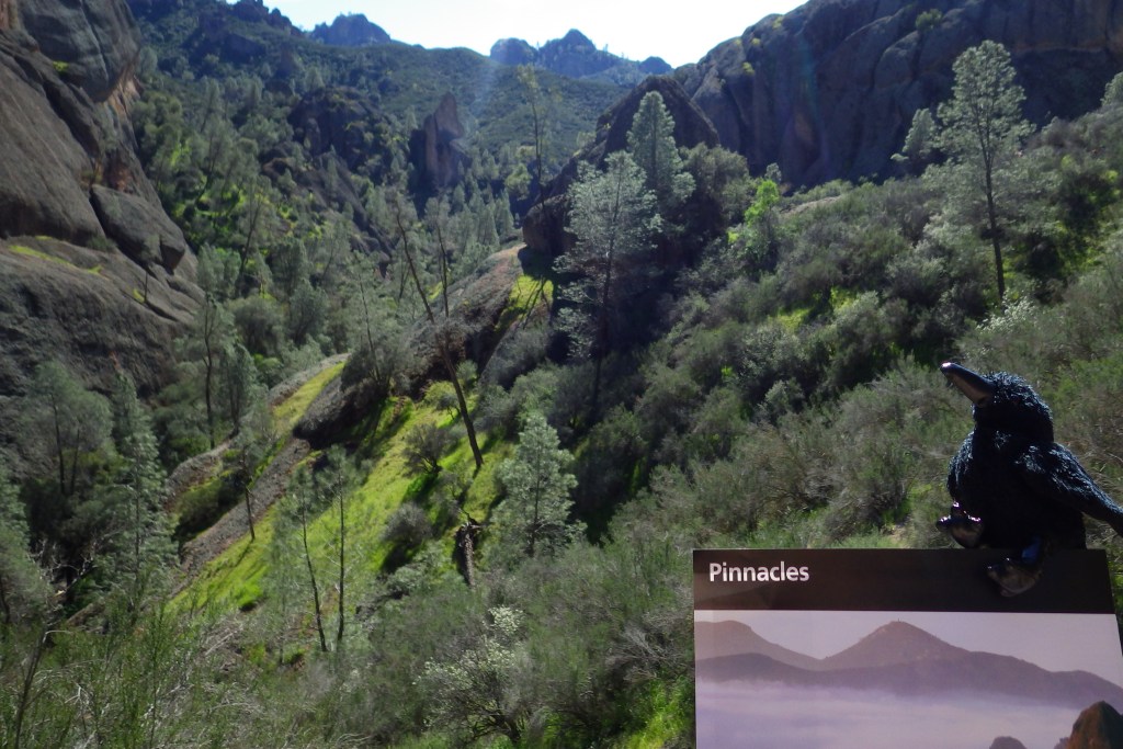
The pinnacles that give this national park its name. 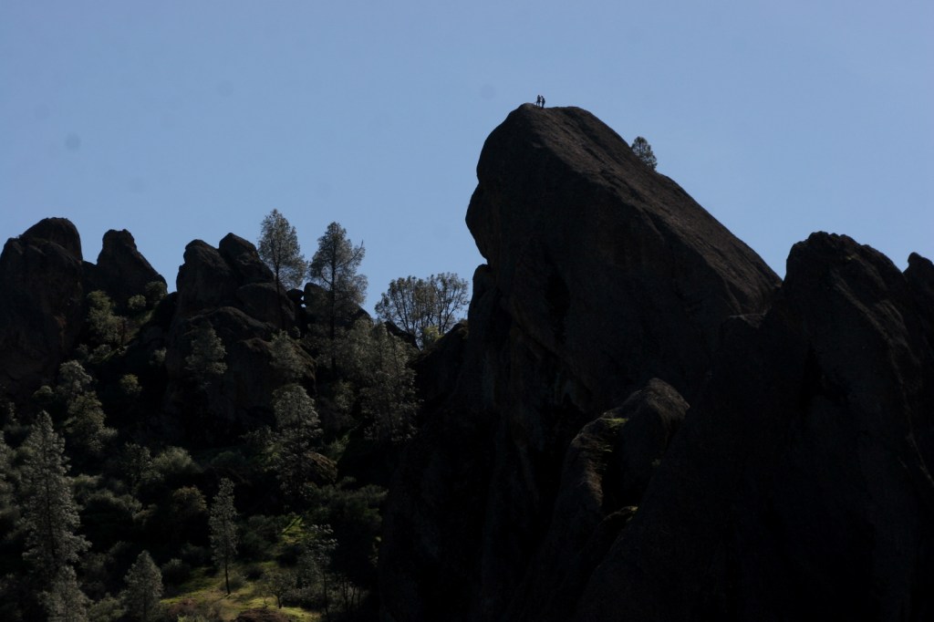
Rock climbers atop a summit 
Tiff with California poppies 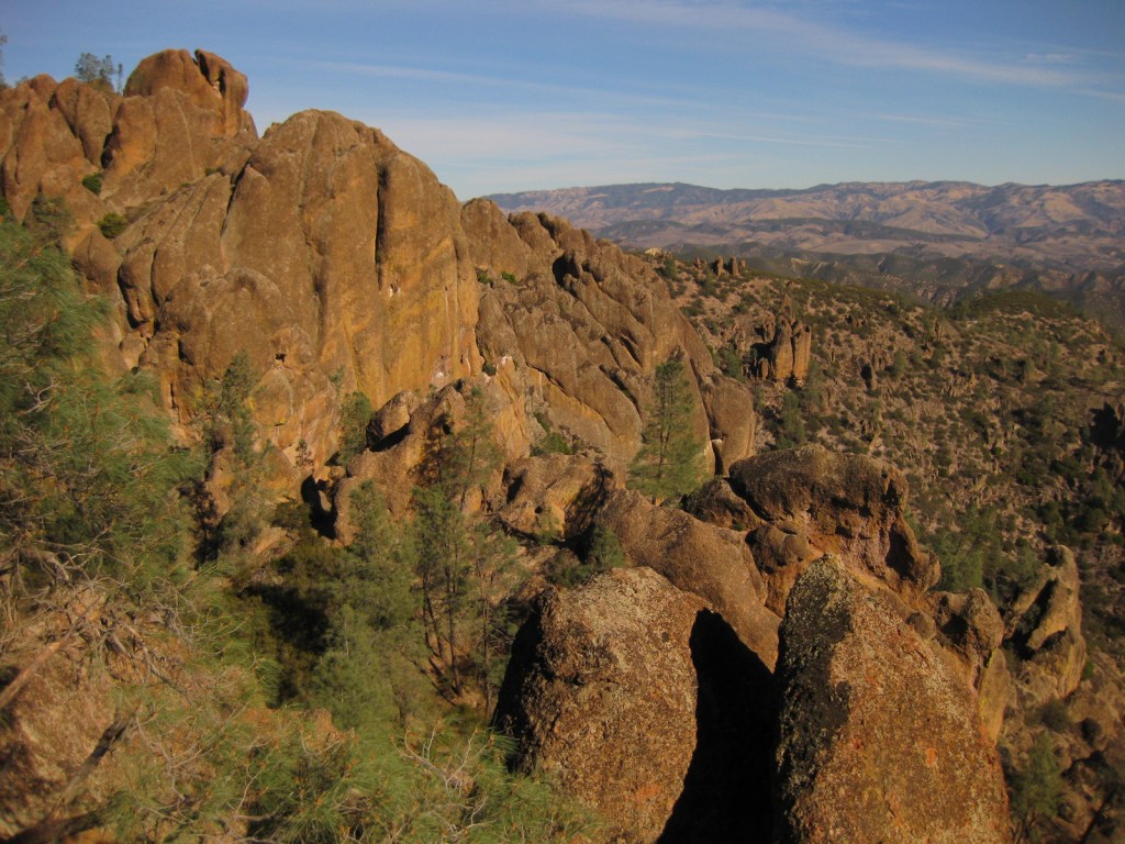
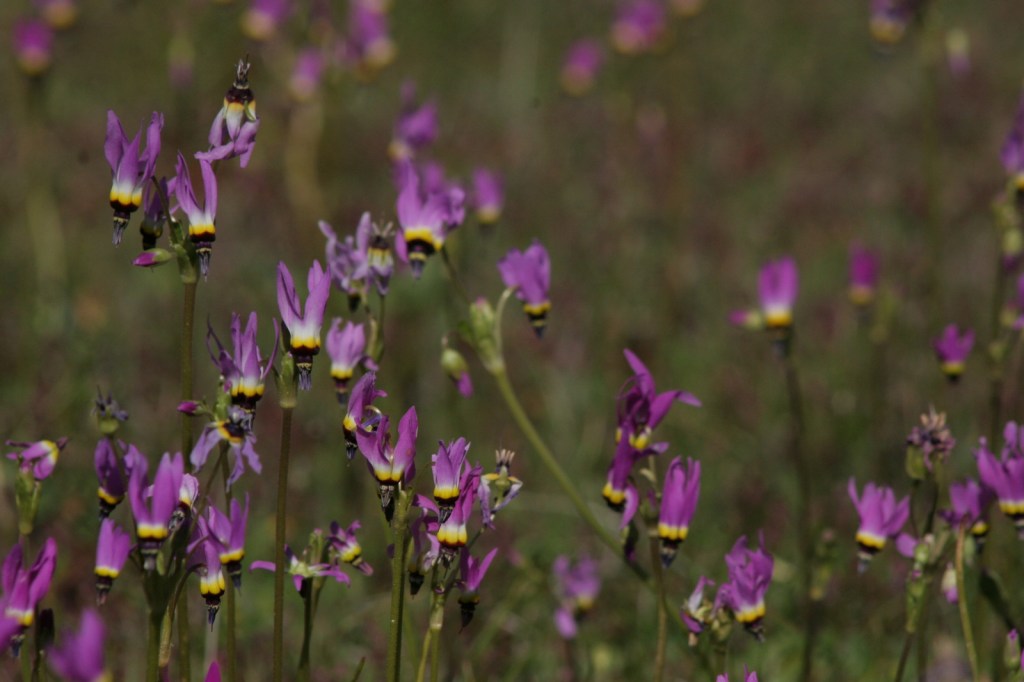
Shooting stars 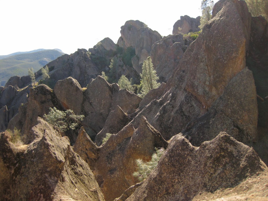
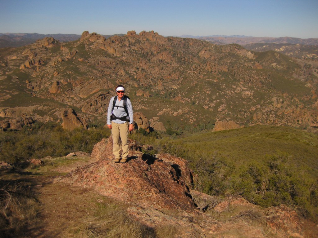
Tiff on North Chalone Peak 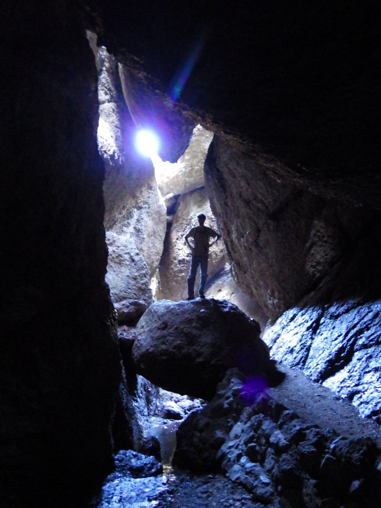
Scott in Balconies Talus Cave


Explore More – Accessible by a nine-mile roundtrip hike with more than 2,000 feet of elevation gain, how tall is North Chalone Peak?


We are a participant in the Amazon Services LLC Associates Program, an affiliate advertising program designed to provide a means for us to earn fees by linking to Amazon.com and affiliated sites.