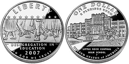
Overview
In the heart of downtown Little Rock, Arkansas is a beautiful high school that took center stage in this nation during September 1957. A landmark 1954 Supreme Court decision (Brown v. Board of Education) mandated desegregation of schools nationwide. Blocked from entering the high school for weeks, with U.S. military intervention eventually nine African-American students attended classes here, with the one senior (Ernest Green) graduating on May 25, 1958.

Highlights
Museum, Commemorative Garden, restored 1957 filling station, memorial benches
Must-Do Activity
Kitty-corner from the still-active high school, the National Park Service (NPS) runs a visitor center with an excellent museum on integration. We were surprised to learn that rather than continue with desegregation, all area schools were closed for the 1958-59 academic year. Three African-American students attended Little Rock Central High School the next year, and today the school is still operating, serving as a living memorial to civil rights. Keeping up with the news, it may not seem like we have made much progress in the United States, but looking back to the past shows us how far we have come as a society.
Best Trail
Guided streetscape tours are given on most weekends (reservations required a minimum of 24 hours prior). It is recommended you contact the NPS at least one month in advance to reserve a weekday tour inside the high school.
Instagram-worthy Photo
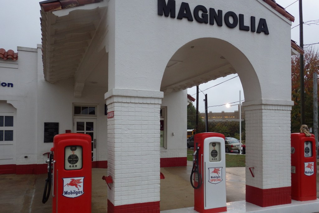
Across the street from the high school, the NPS has preserved a filling station as it appeared in 1957.
Peak Season
Spring and fall
Hours
https://www.nps.gov/chsc/planyourvisit/hours.htm
Fees
None
Road Conditions
All roads paved and there is a small parking lot at the NPS visitor center.
Camping
West of Little Rock, the U.S. Army Corps of Engineers manages a campground at Maumelle Park, near Pinnacle Mountain State Park. Hot Springs National Park offers a campground 56 miles away.

Looking outside toward the high school from the NPS visitor center 
A photo of soldiers at the high school in 1957 

Details on the 1958 school closure 
Tiff outside the active high school 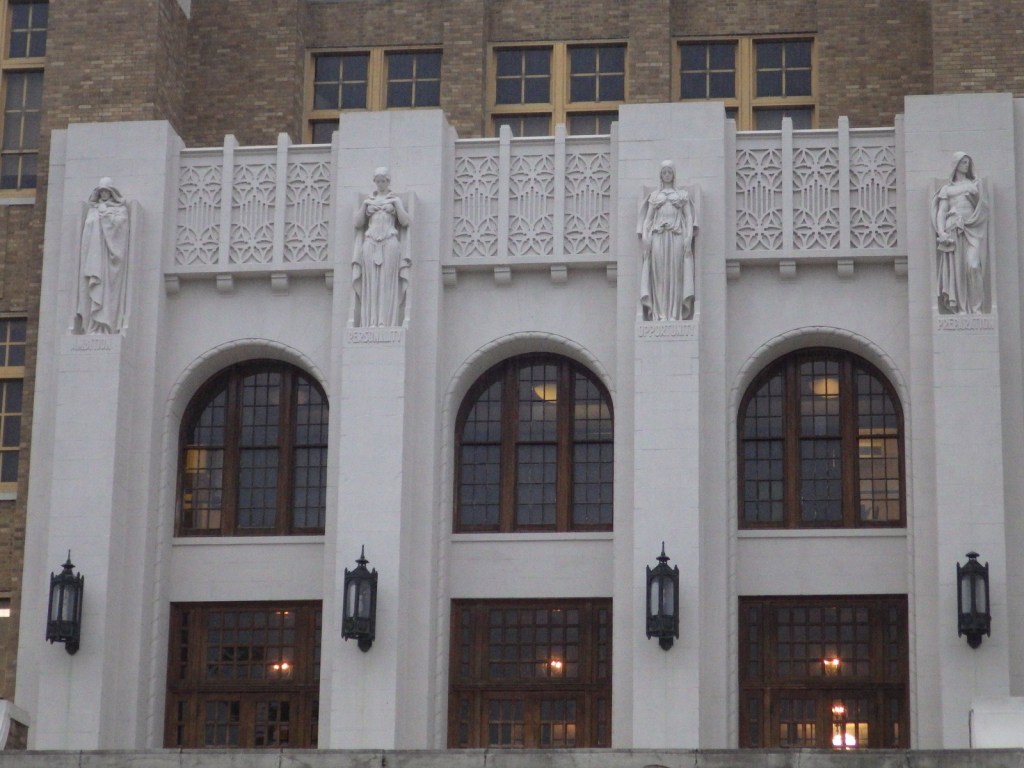
It is a really beautiful building 
A tree on the campus of Central High School 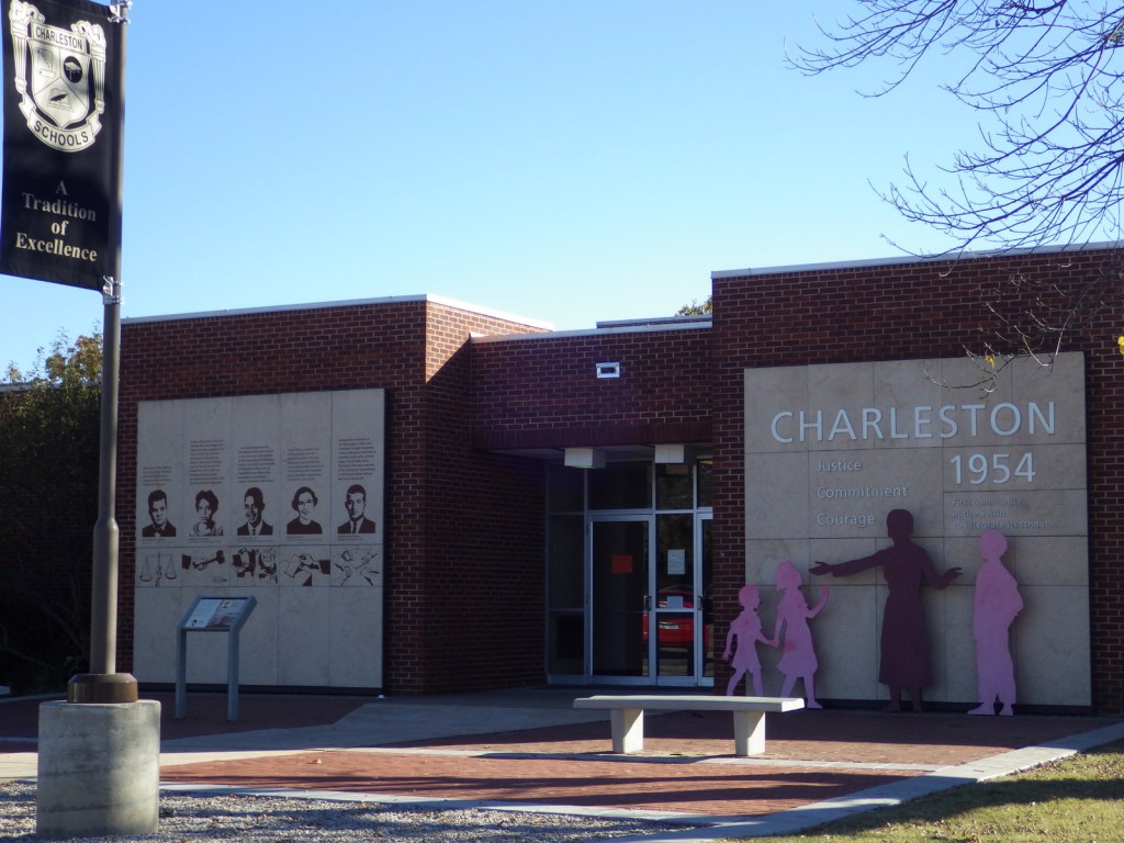
Another area school with an integration history
Explore More – Schools in which Arkansas town had already successfully integrated without any hubbub years before the events at Little Rock Central High School?
We are a participant in the Amazon Services LLC Associates Program, an affiliate advertising program designed to provide a means for us to earn fees by linking to Amazon.com and affiliated sites.