Top 10 National Memorials

We recently posted about Saint Francis Dam Disaster National Memorial and Monument, so now feels like the perfect time to release this Top 10 List.  That is the only National Memorial managed by the U.S. Forest Service, but there are 31 in the National Park Service (NPS) system, and it only seems like all of them are in Washington, D.C. where the Dwight D. Eisenhower National Memorial opened in 2021.  There are many others not run by the NPS, and we have not been to all of them yet, but these are our favorites.  Click here to see all our Top 10 Lists.

10. Franklin Delano Roosevelt Memorial (District of Columbia)

Opened in 1997, this series of sculptures is appropriately wheelchair-accessible

9. Fort Caroline National Memorial (Florida)

The original French fort has never been found (and is probably underwater), but you can tour a one-third scale reconstruction of the triangular structure based upon a drawing from 1564

8. General Grant National Memorial (New York)

Often referred to as Grant’s Tomb, this 150-foot tall marble and granite rotunda is the largest mausoleum in North America

7. Perry’s Victory and International Peace Memorial (Ohio)

This 352-foot tall memorial tower is located on South Bass Island in western Lake Erie
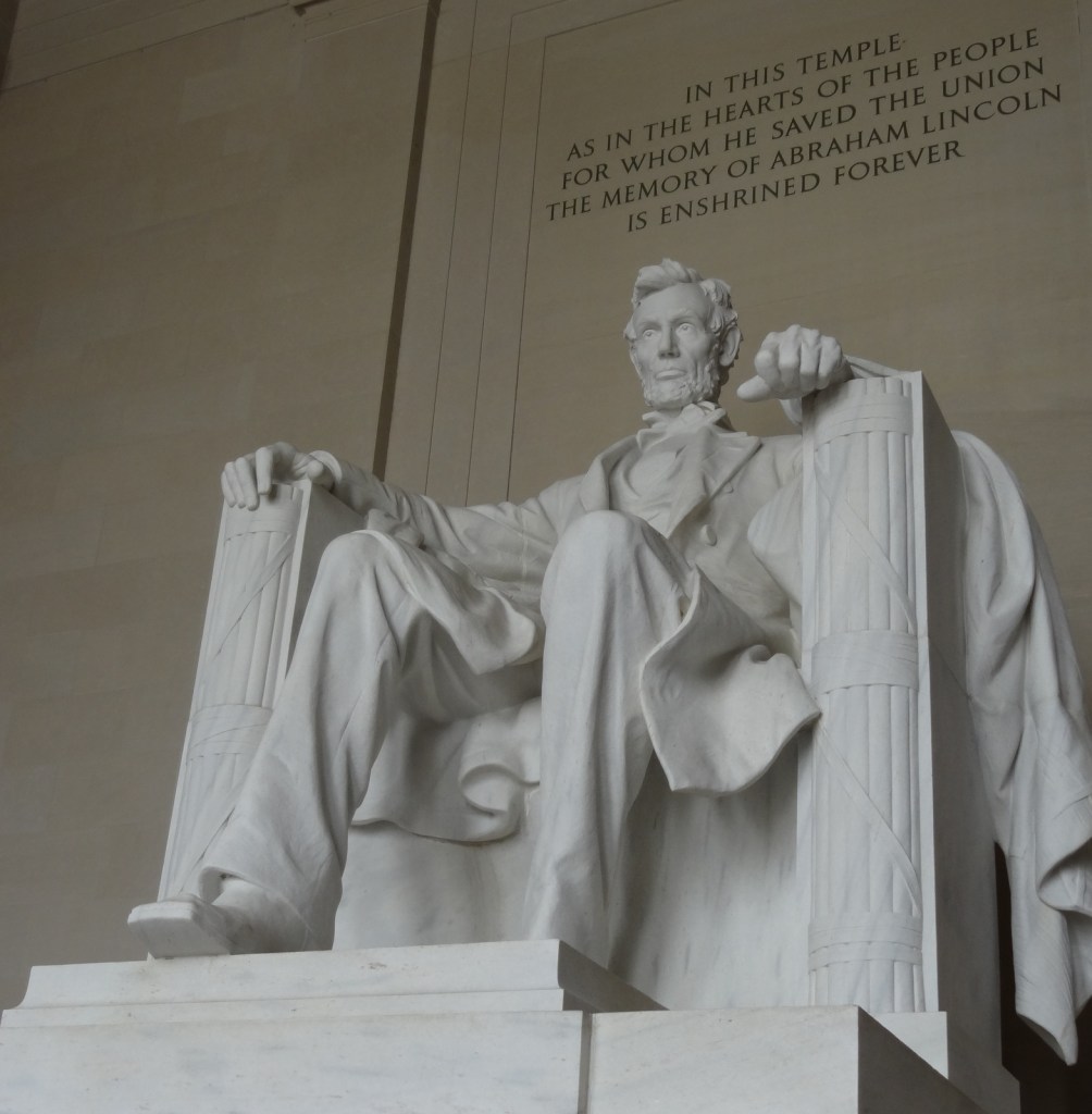
6. Lincoln Memorial (District of Columbia)

This iconic building at the west end of the National Mall receives around 7-million visitors annually

5. Flight 93 National Memorial (Pennsylvania)

As far we are aware, the only National Memorial representing the 21st century
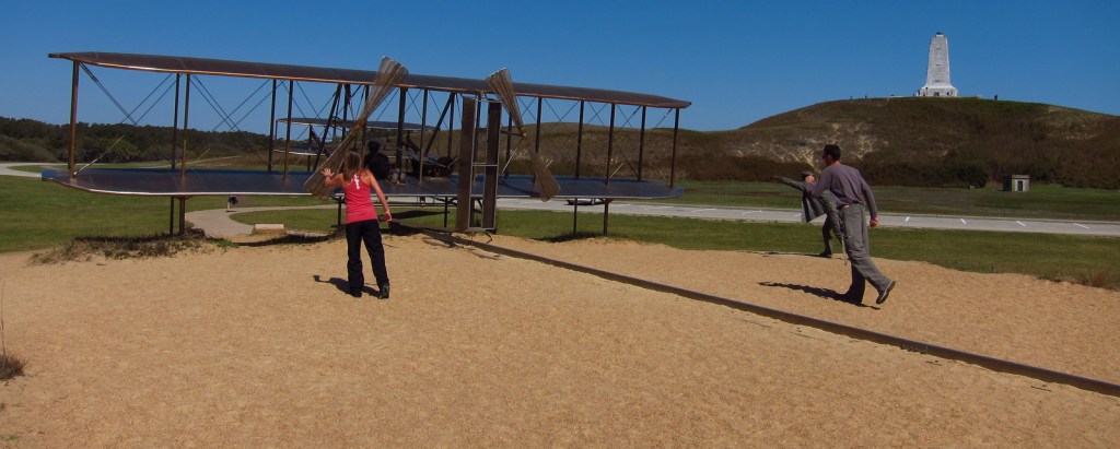
4. Wright Brothers National Memorial (North Carolina)

The brothers’ momentous 12-second flight occurred here on December 17, 1903

3. Coronado National Memorial (Arizona)

There is no statue of Coronado, but there is a steep three-quarter mile trail to a 600-foot long limestone cave

2. Pearl Harbor National Memorial (Hawaii)

The memorial built atop the sunken U.S.S. Arizona is tasteful and beautiful

…and finally our #1 National Memorial:

1. Mount Rushmore National Memorial (South Dakota)

Inspiring during the day, but for the full effect do not miss the Evening Lighting Ceremony offered May through September
Honorable Mentions

Theodore Roosevelt Island National Memorial (District of Columbia)

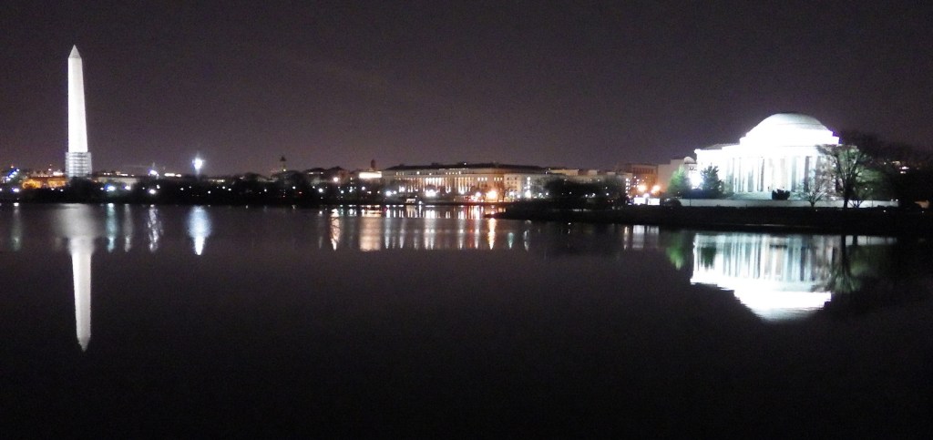
Washington, D.C. is full of memorials (even the Washington Monument counts), but this one is the most unique

Martin Luther King, Jr. National Memorial (District of Columbia)

Simple yet stunning, this statue of MLK is surrounded by some of his best quotes
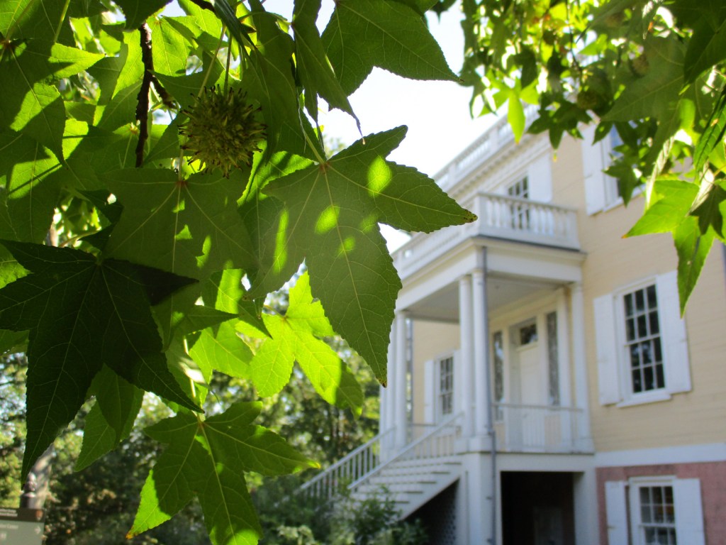
Hamilton Grange National Memorial (New York)

Alexander Hamilton’s house is the only memorial built by the person it honors, though it has been moved twice since his death

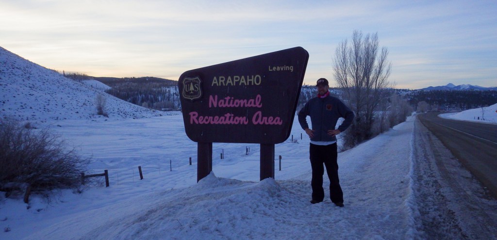
Arapaho National Recreation Area

Arapaho National Recreation Area

Colorado

Managed by U.S. Forest Service, Arapaho National Forest

30,690 acres

Website: https://www.fs.usda.gov/attmain/arp/specialplaces

Overview

On the west side of Rocky Mountain National Park are the first of many dams across the Colorado River forming several lakes around Granby, Colorado.  Arapaho National Recreation Area contains five reservoirs, the largest of which is Lake Granby (but not including Grand Lake and Shadow Mountain Lake).  Also nearby, Monarch Lake is the starting point for multiple trails into the Indian Peaks Wilderness.  Despite its proximity to the Denver metropolitan area, this untamed country is home to a variety of wildlife including moose, martens, and mountain lions, as well as the river otter and ouzel (or dipper) we saw during our January visit. 

Highlights

Lake Granby, Monarch Lake, Meadow Creek Reservoir, Roaring Fork Falls, Willow Creek Reservoir, High Lonesome Trail, Continental Divide National Scenic Trail

Must-Do Activity

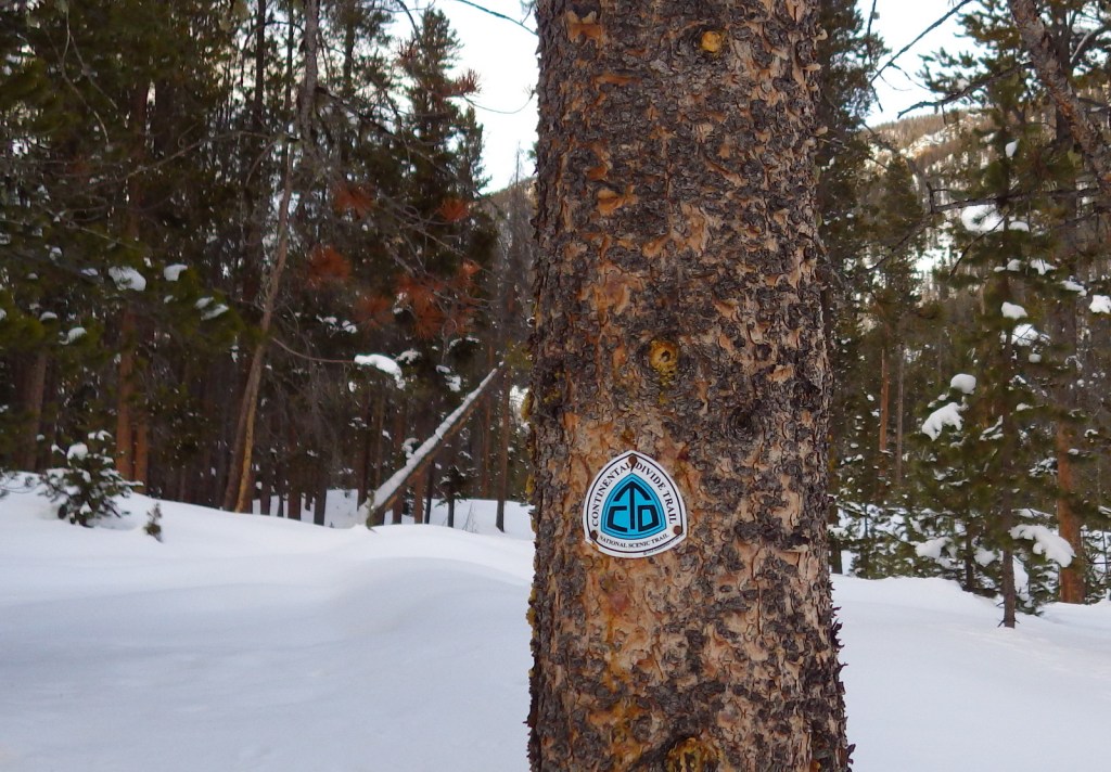
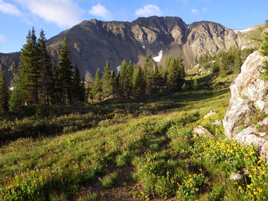
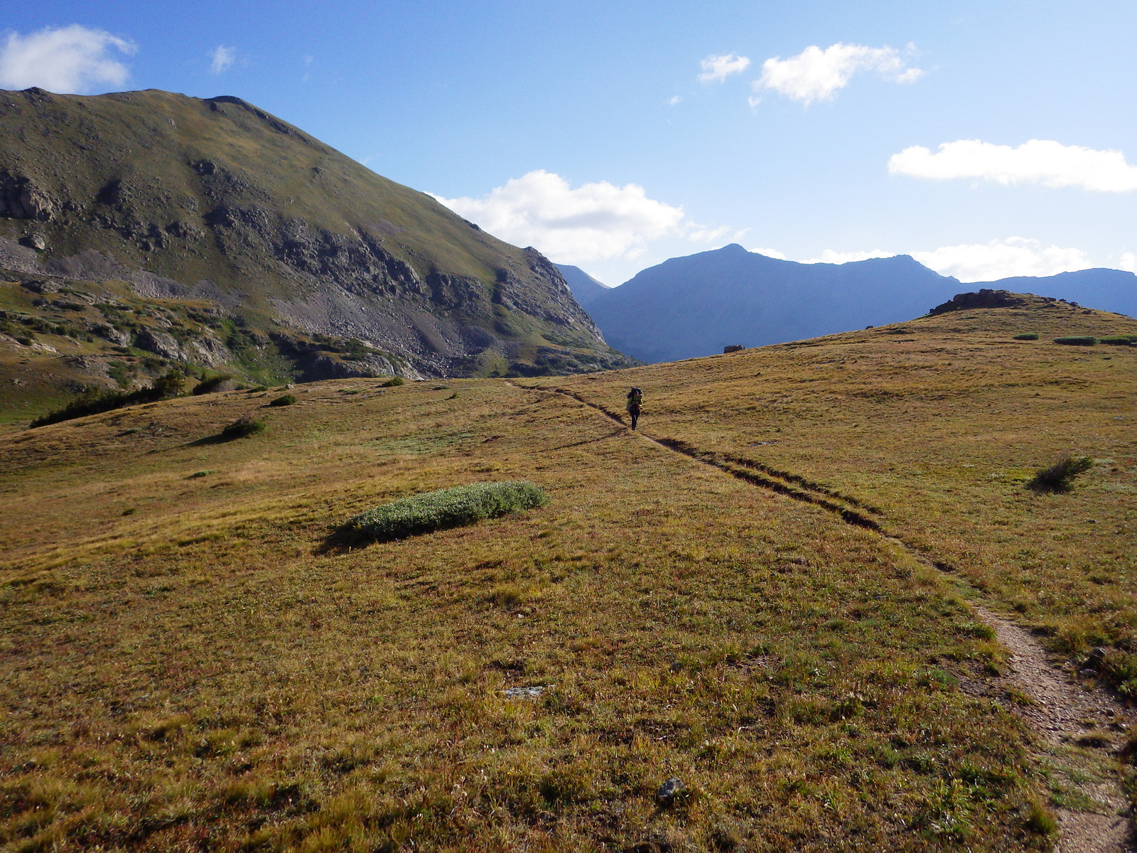
The largest reservoir in Arapaho National Recreation Area is Lake Granby, an area popular with snowmobilers and ice fisherman in the winter.  Summer is also a good time to visit when the lakes are unfrozen and available for boating, swimming, and other water sports.  That’s when backpackers on the Continental Divide National Scenic Trail prefer to come through here.

Best Trail

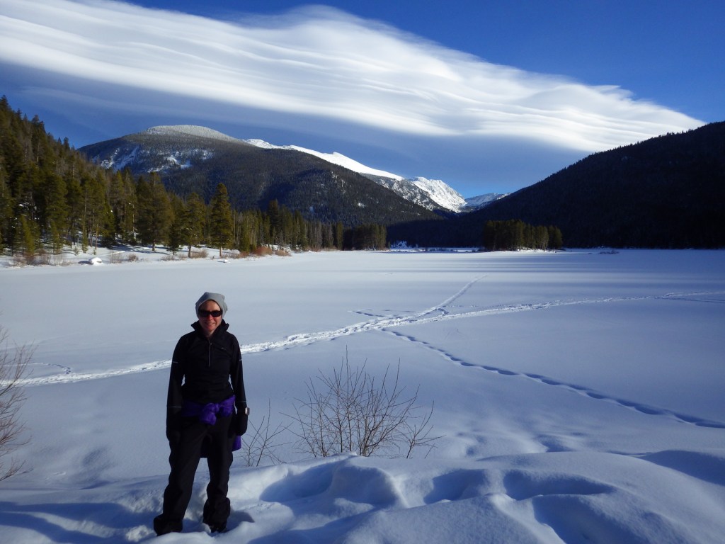
Snowshoers looking for some quiet can drive to the eastern end of Lake Granby and hike a mile to Monarch Lake on a road that is closed during the winter months.  Throughout the year, Monarch Lake is the starting point for multiple trails that climb into the high elevations of the Indian Peaks Wilderness, plus the Continental Divide National Scenic Trail.

Instagram-worthy Photo

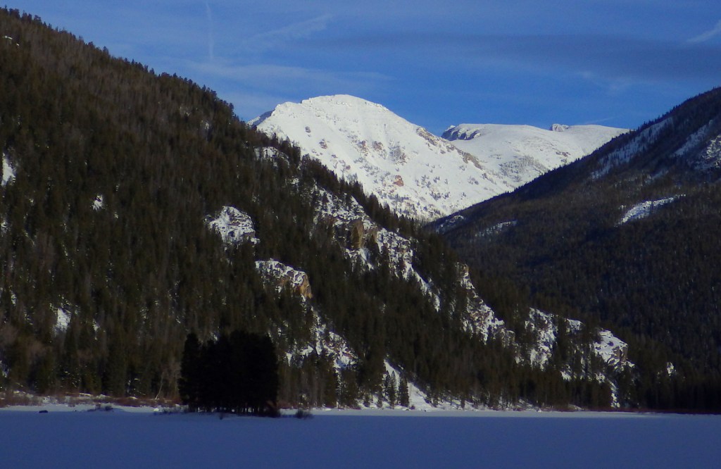
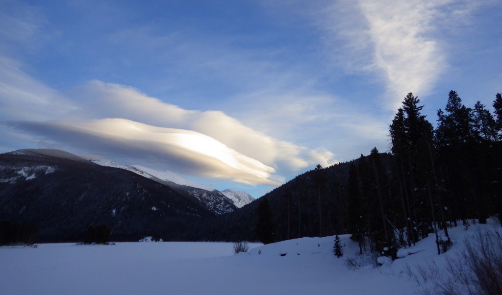
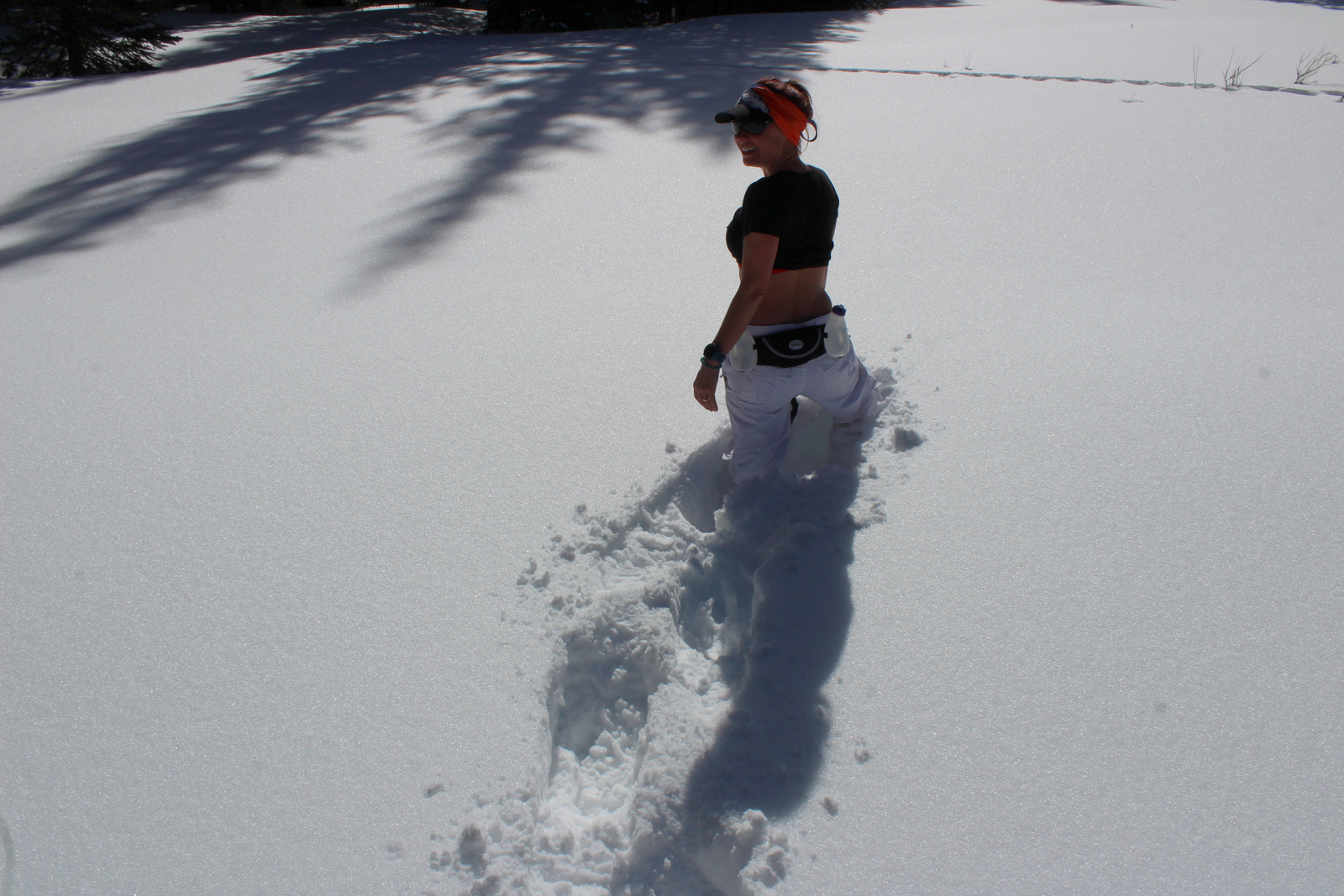
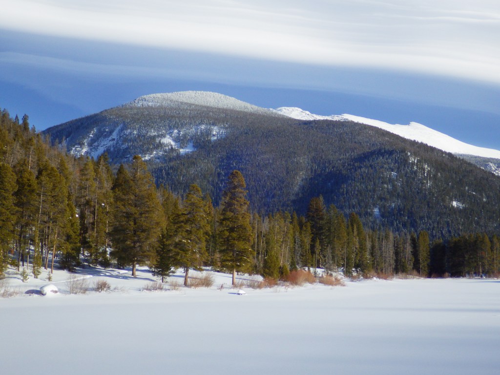
Under a blanket of snow, there is a majestic view from Monarch Lake looking at the Arapaho Creek Valley.

Peak Season

Summer

Fees

During the summer, day-use fees apply at portions of Arapaho National Recreation Area, like Monarch Lake and boat launches.

Road Conditions

The road back to Monarch Lake and many others are closed seasonally due to heavy snow accumulations.

Camping

Campgrounds on the lakes fill up in the summer and even the dirt roads around the west entrance to Rocky Mountain National Park can be jam-packed with dispersed campers.

Related Sites

Curecanti National Recreation Area (Colorado)

Colorado National Monument (Colorado)

Dinosaur National Monument (Utah-Colorado)

Nearest National Park

Rocky Mountain (Colorado)

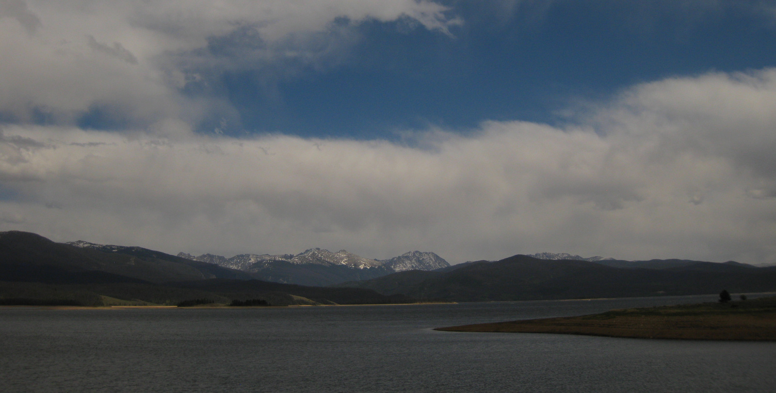
Lake Granby in summer

Explore More – When was Arapaho National Recreation Area established?

Arapaho National Forest

Arapaho National Forest

Colorado

Managed by U.S. Forest Service, Rocky Mountain Region

770,604 acres (724,678 federal/ 45,926 other)

Website: https://www.fs.usda.gov/arp

Overview

Arapaho National Forest is managed jointly with Roosevelt National Forest and Pawnee National Grassland in northern Colorado.  Easily accessible from Interstate 70 west of Denver, the National Forest is best known for its many ski resorts.  Mt. Blue Sky (formerly Evans) Highway and Guanella Pass Scenic Byway provide access to the high country in the summer when a rainbow of wildflowers bloom, both above and below treeline.

Highlights

Arapaho National Recreation Area, Mt. Blue Sky (formerly Evans), St. Mary’s Glacier, Guanella Pass Scenic Byway, Devil’s Thumb Lake, Berthoud Falls, Ute Peak, Boardwalk Trail, Continental Divide National Scenic Trail

Must-Do Activity

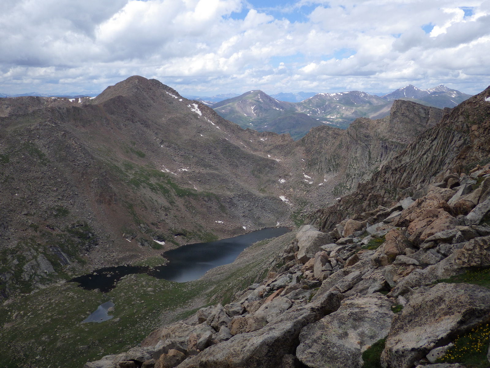
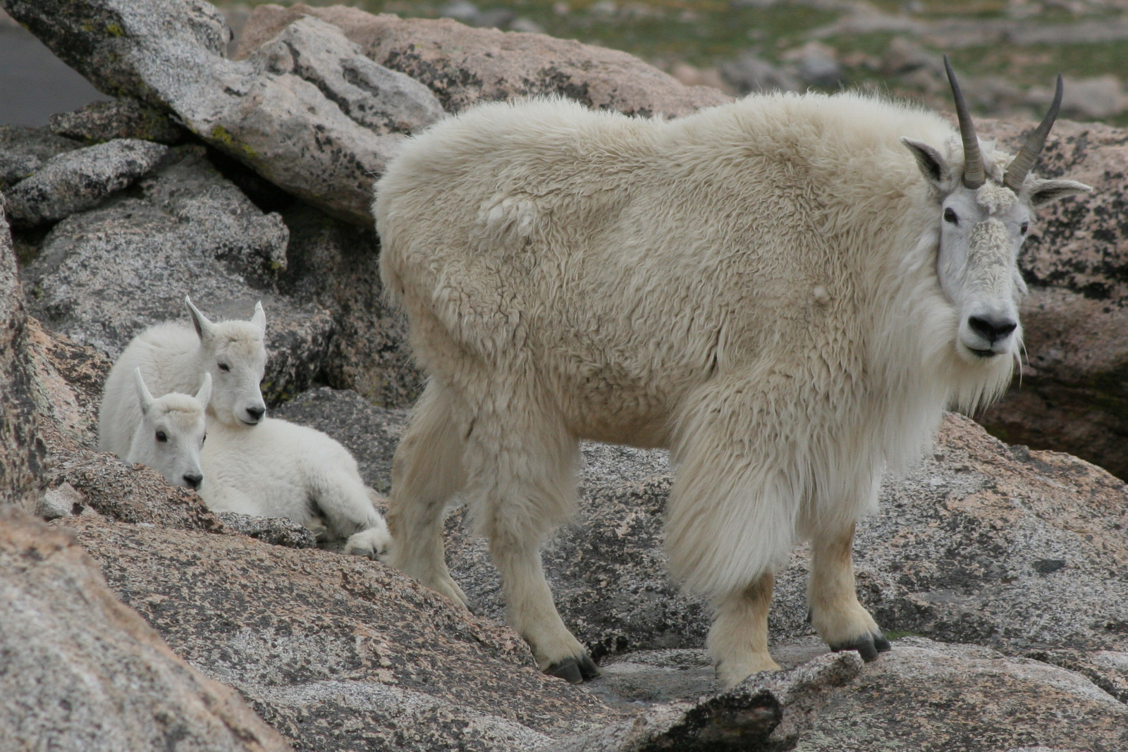
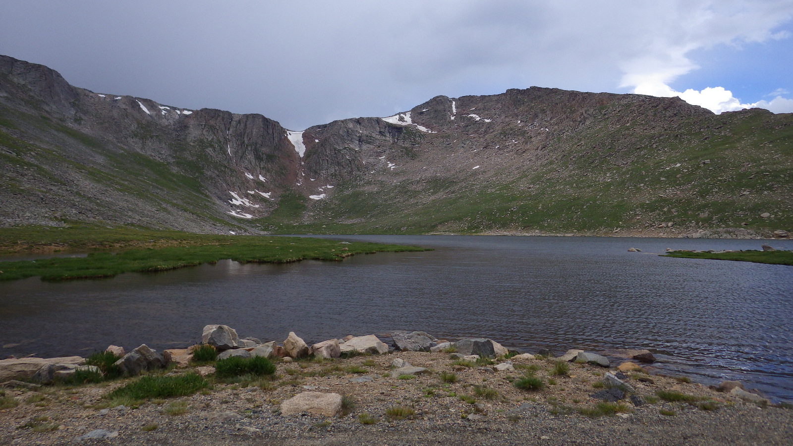
Located just west of Denver, the Mt. Blue Sky (formerly Evans) Highway (the highest fully-paved road in North America) provides access to the rarely-seen world above 14,000 feet in elevation.  Online reservations are now required before you show up, so be sure to click to include a stop at Mt. Goliath Research Natural Area, which provides an interpretive hike through a forest of long-lived Rocky Mountain bristlecone pine trees.  Keep your eyes sharp for bighorn sheep and mountain goats along the road once you hit the switchbacks around Summit Lake.  While the Crest House is no longer in business near the summit, you can still park there and walk the remaining one-hundred feet to the top of the 14,264-foot peak for unsurpassed views.

Best Trail

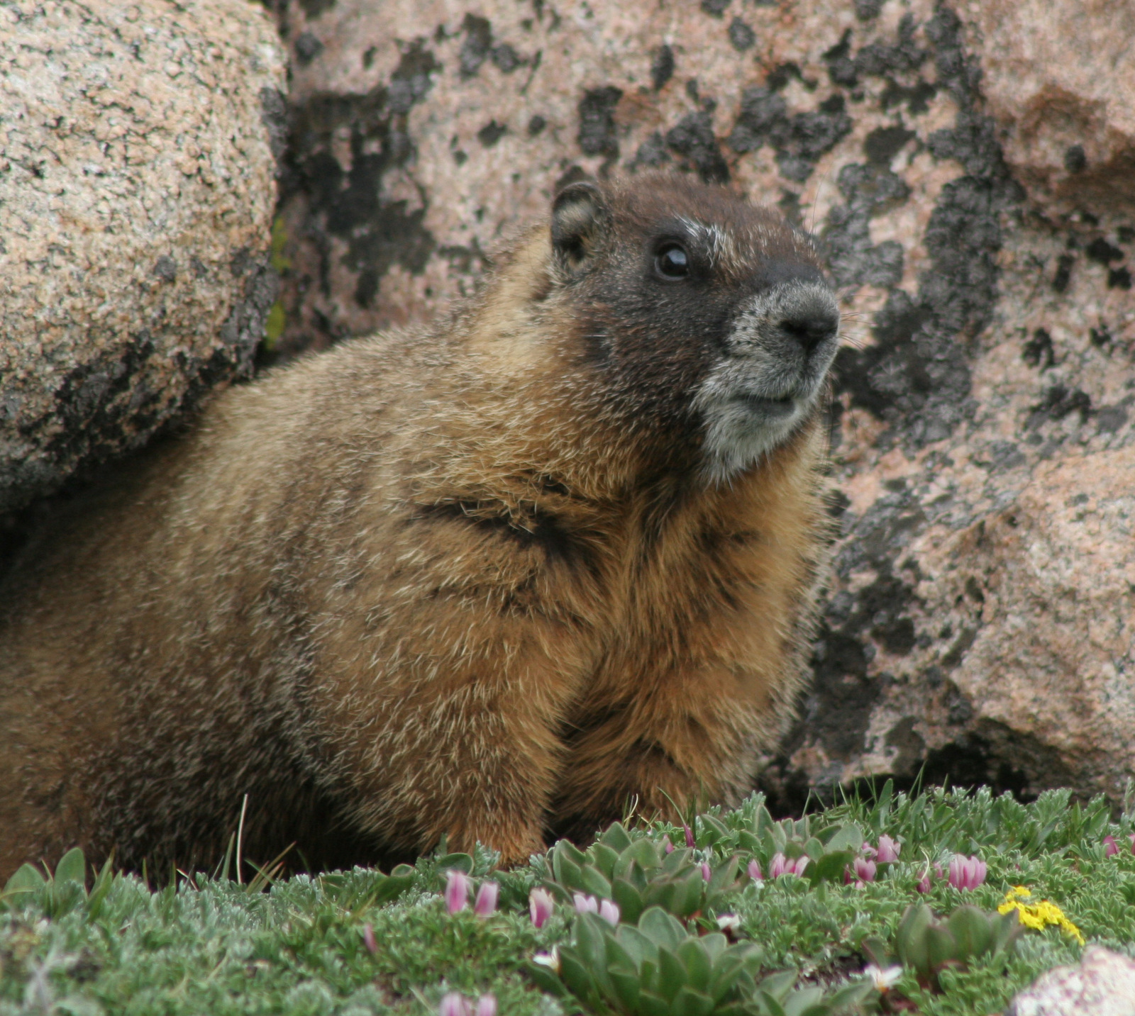
The easiest way to access the aptly-named Never Summer Wilderness is from the Kawuneeche Valley in Rocky Mountain National Park.  You can backpack the 18-mile loop of Baker Gulch to Bowen Gulch in either direction, but keep an eye out for moose as we saw six along the way!  High elevation dwellers like yellow-bellied marmots and pikas were also abundant along the trail, which enters Routt National Forest on the west side of Fairview Mountain.

Watchable Wildlife

Moose and elk can be found throughout the National Forest, but are often easiest to locate around the west entrance to Rocky Mountain National Park.  Bighorn sheep and mountain goats are known to approach cars on the paved road to the top of Mt. Blue Sky (formerly Evans).  During our January visit to Arapaho National Recreation Area we spotted a river otter and ouzel (or dipper, a swimming songbird) in one of the few sections of unfrozen creek.

Instagram-worthy Photo

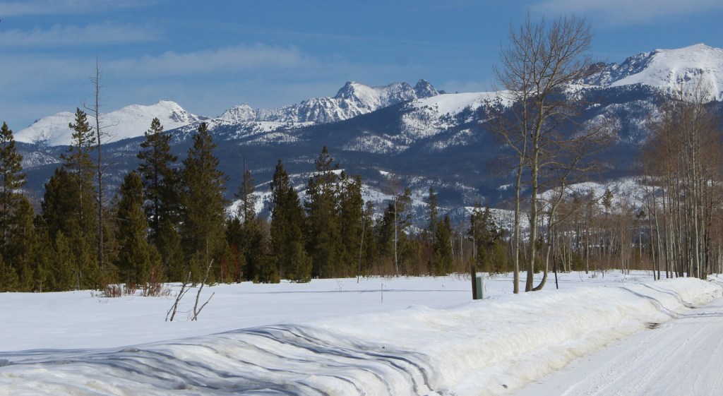
North of the ski resort town of Winter Park is Fraser Experimental Forest, managed by the U.S. Forest Service’s Rocky Mountain Research Station.  In winter, roads within Fraser Experimental Forest are closed and turn into routes for cross-country skiers and snowshoers with no entry fee charged.
Peak Season

Summer

Fees

A $15 fee is charged per vehicle (online reservation required before arrival, $2 fee even if you use your America the Beautiful pass) to drive the one-way Mt. Blue Sky (formerly Evans) Highway during its short open season.  Also during the summer, day-use fees apply at Fraser Experimental Forest and Arapaho National Recreation Area.

Road Conditions

The road to the top of Mt. Blue Sky (formerly Evans) is paved the whole way, but there are plenty of rough dirt roads to explore throughout Arapaho National Forest.  The road back to Monarch Lake is closed seasonally in Arapaho National Recreation Area.

Camping

Campgrounds fill up in the summer and even the dirt roads around the west entrance to Rocky Mountain National Park can be jam-packed with dispersed campers.  There are some scenic campgrounds around Fraser Experimental Forest near Winter Park, Colorado.

Wilderness Areas

Byers Peak Wilderness

Eagles Nest Wilderness (also in White River National Forest)

Indian Peaks Wilderness (also in Roosevelt National Forest)

Mt. Blue Sky (formerly Evans) Wilderness (also in Pike National Forest)

Never Summer Wilderness (also in Routt National Forest)

Ptarmigan Pass Wilderness

Vasquez Peak Wilderness

Related Sites

Arapaho National Recreation Area (Colorado)

Florissant Fossil Beds National Monument (Colorado)

Sand Creek Massacre National Historic Site (Colorado)

Nearest National Park

Rocky Mountain (Colorado)

Conifer Tree Species

Engelmann spruce, Colorado blue spruce, subalpine fir, Douglas-fir, Rocky Mountain bristlecone pine, ponderosa pine, lodgepole pine

Flowering Tree Species

quaking aspen, Rocky Mountain maple, narrowleaf cottonwood, mountain ash, dwarf willow, Scouler willow, mountain willow, alpine fen willow, purple-twig willow, sandbar willow, Geyer’s willow, Wolf’s willow

Explore More – When did research begin in Fraser Experimental Forest on the response of conifer species to different harvesting techniques, insect outbreaks, and climate conditions?

We are a participant in the Amazon Services LLC Associates Program, an affiliate advertising program designed to provide a means for us to earn fees by linking to Amazon.com and affiliated sites.

Apalachicola National Forest

Apalachicola National Forest

Florida

Managed by U.S. Forest Service, Southern Region

634,042 acres (563,403 federal/ 70,639 other)

Website: https://www.fs.usda.gov/main/florida/home

Overview

Apalachicola National Forest is the largest of the four National Forests in Florida and also manages the tiny 1,152-acre Choctawhatchee National Forest (which is off limits to the public on a military base, so we did not include it in our total of 155 National Forests).  The forests proximity to the state capital of Tallahassee makes it an outdoor recreation destination in the Florida Panhandle.

Highlights

Apalachee Savannahs Scenic Byway, Fort Gadsden Historic Site (closed), Ochlockonee River, Rock Bluff Scenic Area, Leon Sinks Geological Area (closed), Morrison Hammock Scenic Area, Silver Lake Recreation Area, Camel Lake Recreation Area, Post Office Bay, Florida National Scenic Trail

Must-Do Activity

When we visited Apalachicola National Forest in April 2021, two of its biggest attractions were closed from hurricane damage: Fort Gadsden Historic Site and Leon Sinks Geological Area (a series of sinkholes in limestone karst).  We finally ended up at Camel Lake Recreation Area (day-use fee) where the beach was closed due to alligator presence, so we opted to hike a portion of the Florida National Scenic Trail.  We also made a stop to see the swamp at Big Gully Landing boat launch where Equaloxic Creek flows six miles west to the Apalachicola River.  We read that canoeing the Ochlockonee River is a popular activity.

Best Trail

Apalachicola National Forest includes 67 miles of the Florida National Scenic Trail (FNST).  We hiked a portion of it at Camel Lake Recreation Area hoping to find where it connected to the Trail of Lakes nine-mile loop, but we never did locate the junction.  We read that the segment of the FNST from Oak Park Trailhead along the Sopchoppy River bluffs is especially beautiful.  Closer to the capital city, busy trails include the 14.4-mile Tallahassee Saint Marks Historic Rail Trail, 30-mile Vinzant Horse Trail, and 8.3-mile Munson Hills Trail (which is popular with mountain bikers).

Watchable Wildlife

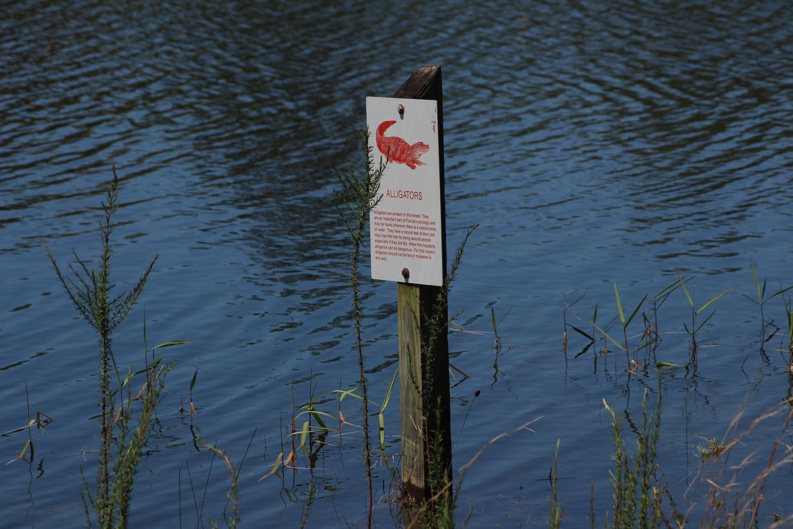
When we think of Florida wildlife the first animal that comes to mind is the alligator, so it was no surprise that the swimming beach at Camel Lake Recreation Area was closed due to their presence.  Other places to see alligators are Tate’s Hell Swamp and the Mud Swamp/New River Wilderness.  Cottonmouth snakes and plentiful mosquitoes also make the swamps uninviting to guests.  We were surprised to see signs warning of black bears since that is not an animal we associate with Florida.  Other wildlife includes turkeys, fox squirrels, gray foxes, bobcats, raccoons, and armadillos.

Instagram-worthy Photo

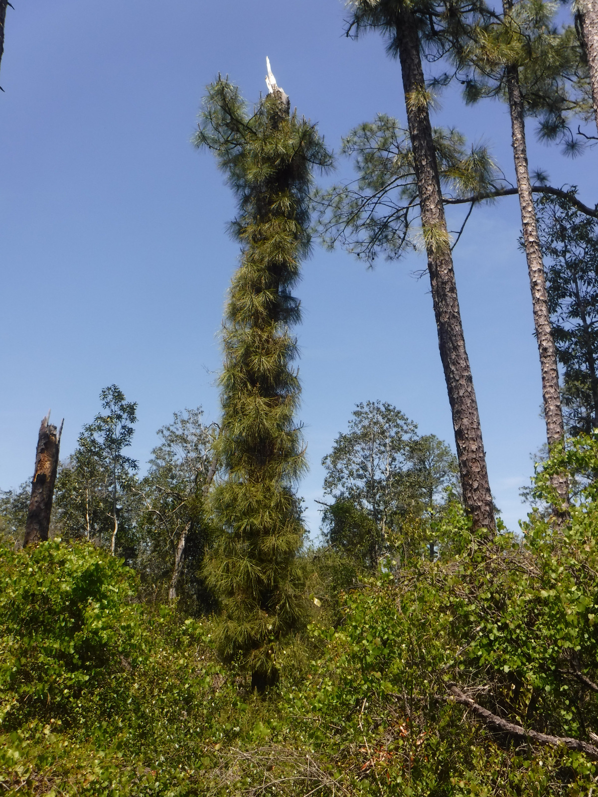
Stands of longleaf pine and turkey oak had us reminiscing about hiking the sandy trails on the coastal plains of North Carolina’s Croatan National Forest.

Peak Season

Winter

Fees

There was a day-use fee at Camel Lake Recreation Area, but it was half-off with an America the Beautiful pass.

Road Conditions

The unpaved roads were hard-packed sand, so they were in really good shape during our visit.

Camping

There was a nice 10-site campground (fee) suitable for RVs at Camel Lake Recreation Area, but there is no camping at Silver Lake Recreation Area closer to Tallahassee, Florida.

Wilderness Areas

Bradwell Bay Wilderness

Mud Swamp/New River Wilderness

Related Sites

Osceola National Forest (Florida)

Gulf Islands National Seashore (Florida)

Andersonville National Historic Site (Georgia)

Nearest National Park

Everglades (Florida)

Conifer Tree Species

baldcypress, pondcypress, longleaf pine, spruce pine, pond pine, slash pine, loblolly pine, Atlantic white-cedar

Flowering Tree Species

magnolia bay, sweetbay, black titi, myrtleleaf holly, swamp cyrilla, black cherry, sassafras, Darlington oak, southern red oak, live oak, bluejack oak, turkey oak, laurel oak, diamondleaf oak, mockernut hickory, pignut hickory, water hickory, persimmon, black gum, flowering dogwood, southern magnolia, basswood, American beech, sweetgum, ogeechee lime, swamp azalea, swamp cottonwood, pop ash, black willow, red buckeye, horse sugar tree

Explore More – Black titi is a shrub in this part of the world, but in Puerto Rico it grows as a large tree with what common name?

We are a participant in the Amazon Services LLC Associates Program, an affiliate advertising program designed to provide a means for us to earn fees by linking to Amazon.com and affiliated sites.

Apache National Forest

Apache National Forest

Arizona, New Mexico

Managed by U.S. Forest Service, Southwestern Region

1,876,891 acres (1,813,601 federal/ 63,290 other)

Website: https://www.fs.usda.gov/main/asnf/home

Overview

Growing up in Arizona, we only ever heard this referred to as Apache-Sitgreaves National Forest since it was merged in 1974.  The more eastern Apache National Forest section represents about 69% of the combined forests total acreage and partly spills into New Mexico.  On its west side it borders the Fort Apache and the San Carlos Indian Reservations, only containing one side of Mt. Baldy (which is famous for its ski resort).  The National Forest contains the eastern portions of the White Mountains and Mogollon Rim, a forested escarpment that cuts 200 miles across much of the state of Arizona.

Highlights

Coronado Trail Scenic Byway, Mt. Baldy, Butler Canyon, Escudilla National Recreation Trail, Hannagan Meadow, Chitty Canyon, Big Tree Trail, Eagle National Recreation Trail

Must-Do Activity

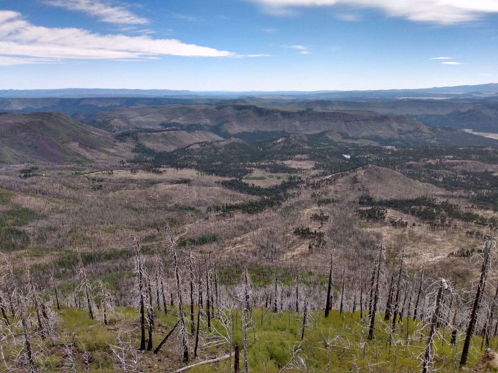
The Coronado Trail Scenic Byway (Highway 191) is a narrow, winding paved road that runs 120 miles north-south through Apache National Forest and is the best way to explore.  Near the northern end of the highway, a steep unpaved road leads east up to the trailhead for Escudilla National Recreation Trail.  A fire burned the 10,912-foot mountain that the trail summits and on our hike in May 2020 we counted 75 downed trees that we had to step over, both on the three miles in and the three miles out.  To the east, the remote Blue Range Primitive Area was created in 1933, but has yet to receive Wilderness designation.  About 18 miles south of Alpine make a stop at the historic Hannagan Meadow lodge, the only place to get gas along the route (or air if like us you have to put on your spare tire).  The highway continues south dropping down from the Mogollon Rim into a more desert-like environment.

Best Trail

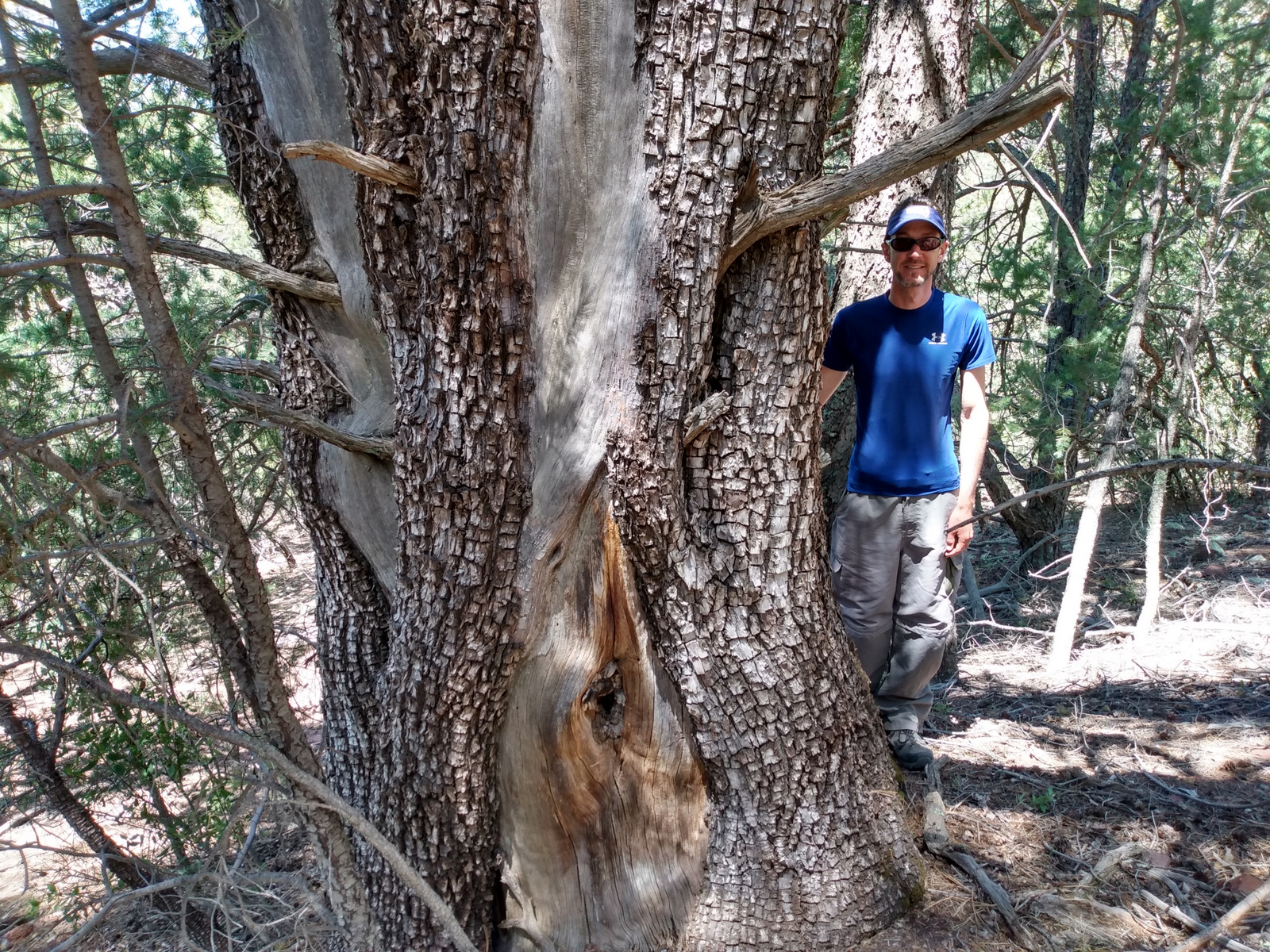
A short, but worthwhile hike descends west from Sardine Saddle near the southern end of the Coronado Trail Scenic Byway.  At the end of the 0.4-mile trail is the largest Arizona cypress tree growing in the United States (97 feet tall with a 181-inch trunk circumference).  There are also some big alligator juniper trees growing near the bottom of the canyon, and if you see their bark you will realize why they got their name.

Watchable Wildlife

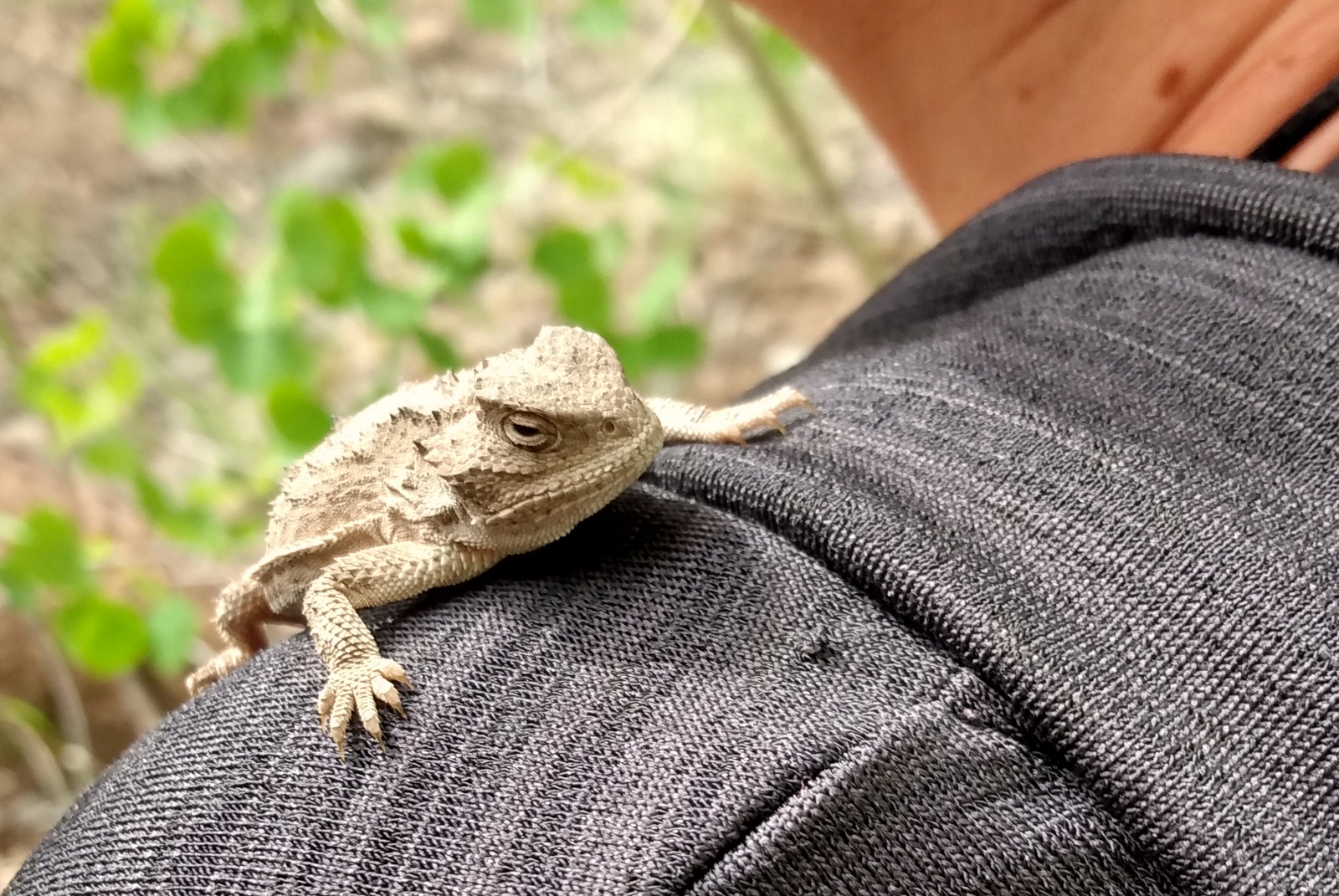
We were excited to find horned lizards (a.k.a. frogs or toads) along the Escudilla National Recreation Trail.  The cliffs of the Mogollon Rim provide good thermal updrafts so are a good place to looks for turkey vultures and a variety of raptors.  The ranges of mule deer and Coues whitetail deer overlap in this part of the country.  We saw turkeys on the road back to Rose Spring Trail (Forest Road 54).

Instagram-worthy Photo

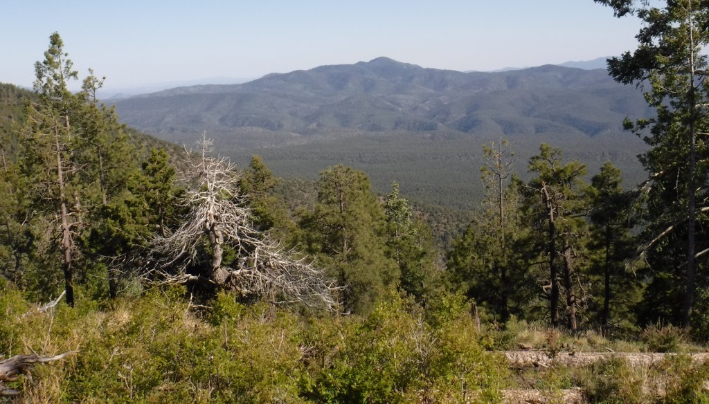
There are great views from atop the Mogollon Rim at Blue Point Overlook on the Coronado Trail Scenic Byway.

Peak Season

Spring and fall

Fees

None

Road Conditions

Highway 191 is paved, but is a slow drive due to its many curves.  Many of the side roads are very rough and a high-clearance vehicle is recommended.  We got a flat tire on the rocky Forest Road 54.

Camping

There are several developed campgrounds, including one at Luna Lake and several along the East Fork of the Black River.  Dispersed camping options abound, including on the road to Escudilla National Recreation Trail and we found a nice campsite near the entrance to Forest Road 54.

Wilderness Areas

Bear Wallow Wilderness

Escudilla Wilderness

Mount Baldy Wilderness

[Blue Range Primitive Area]

Related Sites

Coronado National Memorial (Arizona)

Chiricahua National Monument (Arizona)

Fort Bowie National Historic Site (Arizona)

Nearest National Park

Petrified Forest (Arizona)

Conifer Tree Species

Arizona cypress, alligator juniper, pinyon pine, ponderosa pine, Chihuahua pine, Douglas-fir, white fir, Engelmann spruce

Flowering Tree Species

quaking aspen, Emory oak, Arizona white oak, turbinella oak, New Mexico locust, Rocky Mountain maple, pointleaf manzanita

Explore More – The Apache arrived in this area from the north in the 1300s and their name comes from a Zuni word translated as what?

We are a participant in the Amazon Services LLC Associates Program, an affiliate advertising program designed to provide a means for us to earn fees by linking to Amazon.com and affiliated sites.