La Sal National Forest

La Sal National Forest

Utah, Colorado

Managed by U.S. Forest Service, Intermountain Region

535,288 acres

Website: https://www.fs.usda.gov/mantilasal

Overview

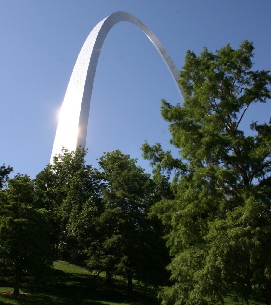
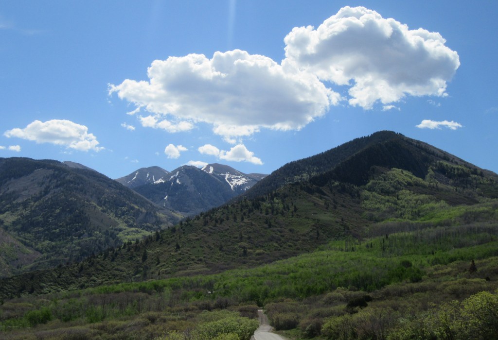
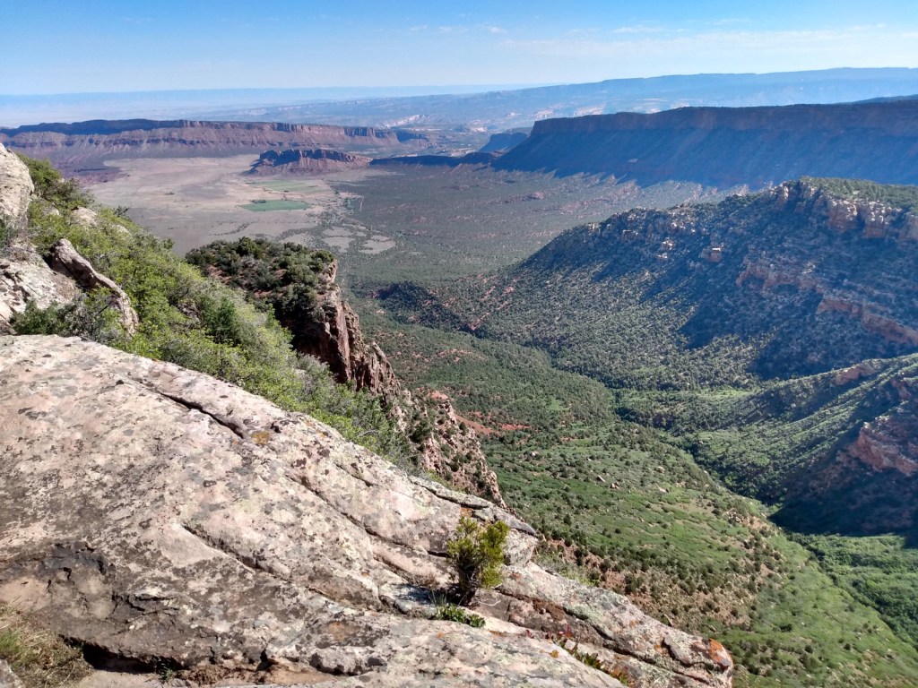
La Sal National Forest is found in two separate sections of southeastern Utah surrounding the La Sal and Abajo Mountains, topping out on 12,721-foot Mt. Peale.  Much of the southern portion of the National Forest, including the Dark Canyon Wilderness, was included in the 1.35-million-acre Bears Ears National Monument, established in 2016 and then controversially reduced in size before being restored.  Since 1949, it has been administratively combined with the northern and separate Manti National Forest, so it can be difficult to find information for La Sal National Forest alone.  

Highlights

Bears Ears National Monument, La Sal Mountain Loop Scenic Backway, Warner Lake, Bull Canyon Dinosaur Tracks, Buckeye Reservoir, Elk Ridge Scenic Backway, Harts Draw Highway, Abajo Loop State Scenic Backway, Mt. Peale, Arch Canyon, Mt. Tukuhnikivatz

Must-Do Activity

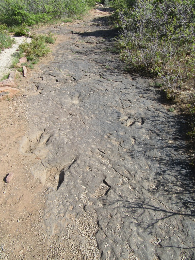
Many visitors access the forest south from Moab on the mostly-paved La Sal Mountain Loop Scenic Backway, a steep drive suitable for passenger vehicles that is accessible in the warmer months.  The often snow-capped La Sal Mountains are featured as the backdrop in nearly every photo of Delicate Arch in Arches National Park.  The Sierra La Sal (“Salt Mountains” in Spanish) were a prominent landmark on the Old Spanish Trail between Santa Fe and Los Angeles.  Be sure to make the dirt Gateway Road (FS 207) detour 5.4 miles to visit Bull Canyon Dinosaur Tracks, where there is also a commanding view of Fisher Mesa and Bull Canyon.  Oowah Lake and Warner Lake are also located on unpaved side roads (3.2 and 5.2 miles respectively) from La Sal Mountain Loop Road.

Best Trail

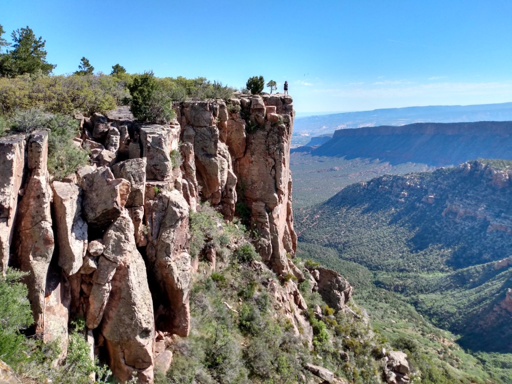
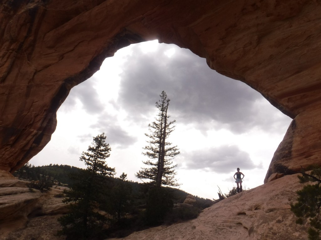
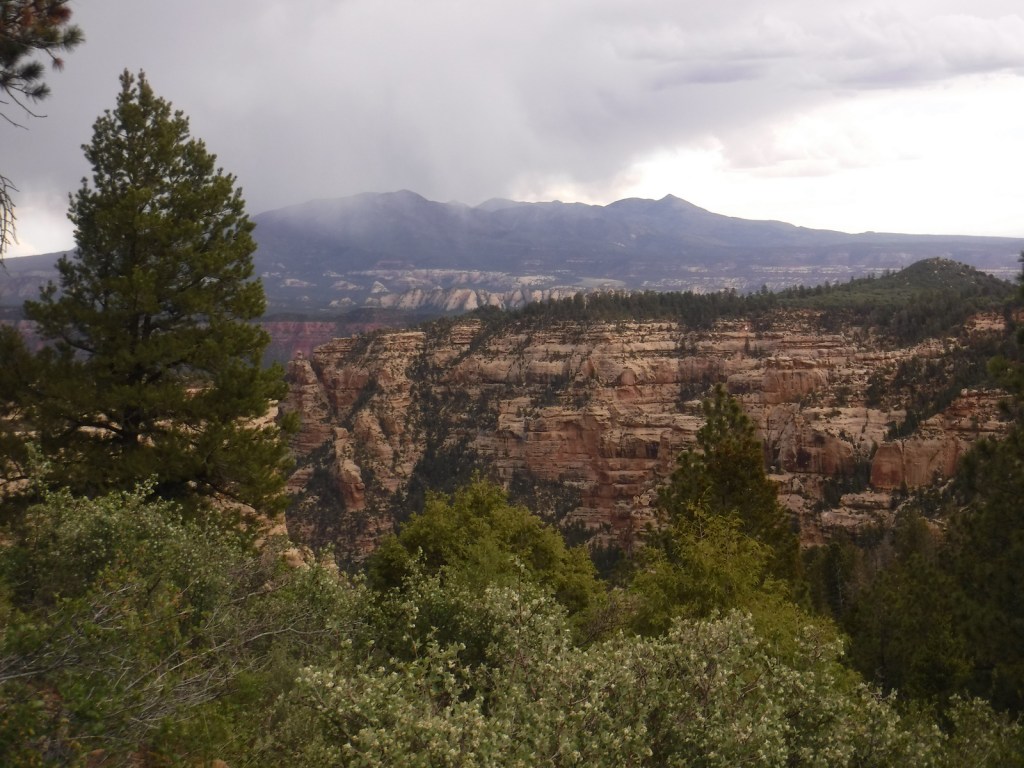
The 58-mile-long Elk Ridge Scenic Backway is a well-maintained, though unpaved route that leads north from Natural Bridges National Monument to Highway 211, which connects to the Needles District of Canyonlands National Park.  There are multiple trails along the way that provide access to the Dark Canyon Wilderness, an area known for old-growth forests, natural arches, and Ancestral Puebloan ruins and pictographs.  A high-clearance vehicle is not required to reach Big Notch Trailhead where a trail steeply drops into Dark Canyon.  Erosion has cut red clay walls that make navigation somewhat difficult in places.  About four miles in, not far past the large Cicada Arch on the north side, you reach a spring at the meeting with Drift Trail Canyon.  Another two miles takes you to Scorup Cabin, a good place to turn around or explore Horse Pasture Canyon.

Watchable Wildlife

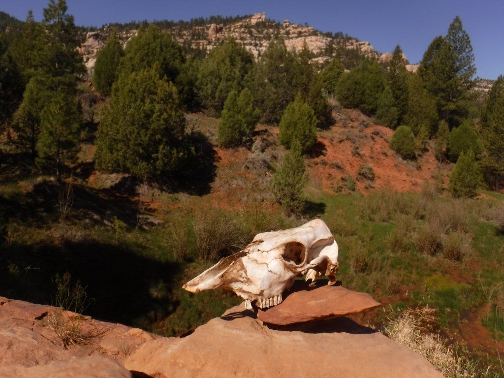
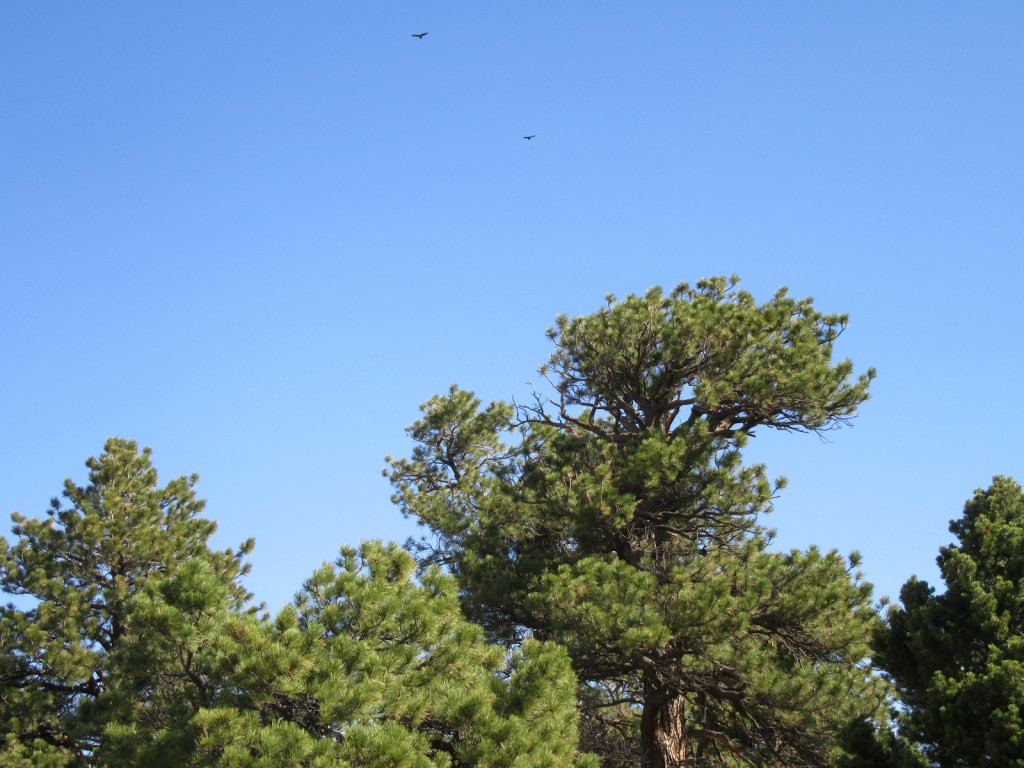
Wildlife species are similar to Utah’s Dixie National Forest and Fishlake National Forest, including black bears, mountain lions, bobcats, coyotes, porcupines, raccoons, skunks, badgers, bighorn sheep, elk, mule deer, and pronghorns.  Large birds include bald eagles, golden eagles, northern goshawks, turkey vultures, wild turkeys, common ravens, and various species of owls and woodpeckers.  Look for short-horned lizards in the Dark Canyon Wilderness.  There are many trout and other gamefish found in the streams and small lakes spread across the high-elevations of the La Sal and Abajo Mountains.

Photographic Opportunity

In the summer months, take La Sal Mountain Loop Scenic Backway to Bull Canyon Dinosaur Tracks to see 200-million-year-old therapod tracks, plus an awesome overlook to the north.

Peak Season

Summer

Fees

None

Road Conditions

La Sal Mountain Loop Road is mostly paved, but side roads to Bull Canyon Dinosaur Tracks, Oowah Lake, and Warner Lake are not.  The 58-mile-long Elk Ridge Scenic Backway is a rocky, unpaved route that leads north from Natural Bridges National Monument to Highway 211; and side roads to some trailheads require a high-clearance vehicle.

Camping

Warner Lake Campground takes reservations, as does Buckeye Reservoir in Colorado and a few others.  Dispersed camping is also an option, especially along lightly-traveled Elk Ridge Scenic Backway.

Wilderness Areas

Dark Canyon Wilderness

Wilderness

Related Sites

Arches National Park (Utah)

Bears Ears National Monument (Utah)

Natural Bridges National Monument (Utah)

Nearest National Park

Canyonlands

Conifer Tree Species

Utah juniper, Rocky Mountain juniper, two-needle pinyon pine, ponderosa pine, white fir, subalpine fir, Engelmann spruce, Douglas-fir

Flowering Tree Species

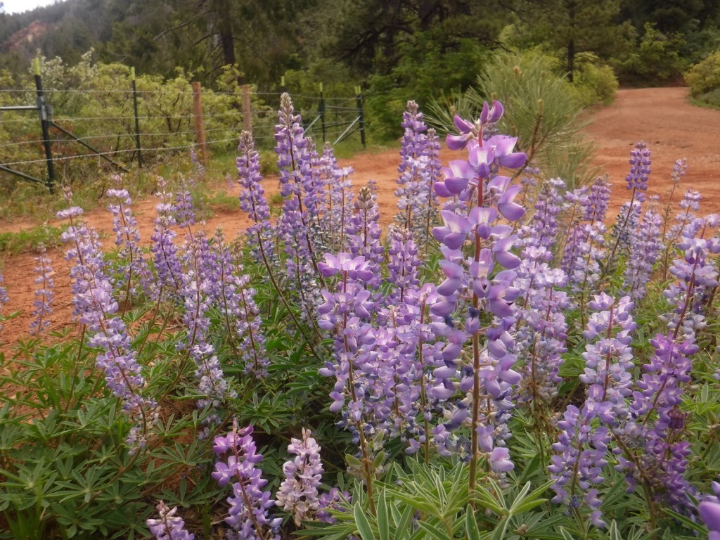
Gambel oak, quaking aspen, Fremont cottonwood, Utah serviceberry, bigtooth maple, manzanita, sagebrush

Explore More – Due to an administrative error in 1908, what was the misspelled name of La Sal National Forest (which was quickly corrected)?

Learn more about this and the 154 other National Forests in our new guidebook Out in the Woods

We are a participant in the Amazon Services LLC Associates Program, an affiliate advertising program designed to provide a means for us to earn fees by linking to Amazon.com and affiliated sites.

Medgar and Myrlie Evers Home National Monument

Medgar and Myrlie Evers Home National Monument

Mississippi

Managed by National Park Service

Established 2019

0.74 acres

Website: nps.gov/memy

Overview

In the early 1960s, Medgar Evers served as a field secretary for the National Association for the Advancement of Colored People (NAACP) and became a target for racial hatred in Jackson, Mississippi.  After Medgar was slugged while aboard a bus and almost run over by a car, the Evers family home was firebombed on May 28, 1963.  Then just before midnight on June 11, Medgar was assassinated in his driveway by a sniper from a vacant lot across the street.  Medgar died the next morning and his wife Myrlie moved the family to California where she continued as a civil rights advocate (and was eventually elected as Chair of the NAACP).  The family rented the property for 30 years before donating it to Tougaloo College who restored the house and sold it to the National Park Service (NPS) in 2020.

Learn more about the other 137 National Monuments in our book Monumental America: Your Guide to All 138 National Monuments. It is now available for sale on Amazon.com.

Highlights

Evers’ House, Myrlie’s Garden

Must-Do Activity

In 1956, the Evers family chose this new house because it did not have a front door, but rather an entrance on the side off the covered carport for security.  After you enter the house from the back door, be sure to find where the bullet hole is still in the wall to the kitchen.  You will also notice that the children’s beds were on the floor below the window level for safety, and Medgar trained them to crawl to the bathroom in case of an attack.  There is a four-page Junior Ranger booklet for the site that can be completed during a short visit, which takes a serious yet positive tone for this important civil rights site.  Still, it made it on our list of the Top 10 Most Depressing National Park Service Sites.

Best Trail

There is a sidewalk through Myrlie’s Garden, a community garden less than one-tenth of a mile from the house where interpretive signs on the wooden fence tell the life story of the Evers.

Photographic Opportunity

In Jackson’s Elraine Subdivision, the Evers’ house is one of 36 ranch-style houses built as the first planned middle-class subdivision for African Americans in Mississippi after World War II.

Peak Season

Spring and fall

Hours

Closed Sundays and Mondays, and noon to 1 p.m. for lunch

https://www.nps.gov/memy/planyourvisit/hours.htm

Fees

None

Road Conditions

There is street parking available in the neighborhood, but rangers prefer that you park at Myrlie’s Garden and walk over.

Camping

There are three free NPS campgrounds along the 444-mile Natchez Trace Parkway, which runs through Jackson, Mississippi.  To the east on Interstate 20, Bienville National Forest also has camping options.

Related Sites

Emmett Till and Mamie Till-Mobley National Monument (Mississippi-Illinois)

Natchez Trace National Scenic Trail (Mississippi-Alabama-Tennessee)

Birmingham Civil Rights National Monument (Alabama)

Explore More – The assassin Byron De La Beckwith was immediately caught, then set free after two deadlocked trials, so how many years later was he finally convicted?

Learn more about the other 137 National Monuments in our book Monumental America: Your Guide to All 138 National Monuments

Charles Young Buffalo Soldiers National Monument

Charles Young Buffalo Soldiers National Monument

Ohio

Managed by National Park Service

Established 2013

60 acres

Website: nps.gov/chyo

Overview

Charles Young was born to enslaved parents in 1864 and went on to become only the third African American to graduate from the U.S. Military Academy at West Point despite being the target of constant insults and social isolation.  He was commissioned an Army officer, serving with the “Buffalo Soldiers,” so named by American Indians because their hair and ferocious fighting style was similar to the bison.  Young became the first African American to serve as the Superintendent of a National Park when he commanded troops at General Grant (now Kings Canyon) and Sequoia National Parks in 1903.  Four years later, Young and his family purchased the 1839-built house he called “Youngsholm” after teaching military science at nearby Wilberforce University for over a decade.  His military career took him to the Philippines, Dominican Republic, Haiti, Mexico, and Liberia, but he was not allowed to fight in Europe during World War I.  In 1922, Young died while serving as a military attaché in Africa and after a campaign by his family and notable African-American celebrities his body was reinterred at Arlington National Cemetery.

Learn more about the other 137 National Monuments in our book Monumental America: Your Guide to All 138 National Monuments. It is now available for sale on Amazon.com.

Highlights

Youngsholm, film, living history demonstrations

Must-Do Activity

A “15-month renovation” of Youngsholm began in October 2021 to restore the house and add an elevator, which in typical government fashion was not finished until April 2024.  There is a film focused on his life as a civil rights trailblazer that is played on the second floor of the house, which you can also watch online before visiting.  We also recommend the 2023 PBS special Buffalo Soldiers that focuses extensively on Charles Young.  None of the rooms inside Youngsholm are furnished, but there are many informational signs about Young and the Buffalo Soldiers.  In addition, 30-minute talks on a variety of topics are given on most weekends by park rangers and there is a Junior Ranger booklet for the site.

Best Trail

None

Photographic Opportunity

A short drive across Highway 42 from Youngsholm takes you to Wilberforce University where there is an Ohio Historical Marker telling the story of Charles Young’s connection with the school. 

Peak Season

Summer

Hours

https://www.nps.gov/chyo/planyourvisit/hours.htm

Fees

None

Road Conditions

Youngsholm is located right off paved Highway 42 near the campus of Wilberforce University.

Camping

The scenic Hocking Hills State Park has 172 campsites (reservations recommended) and is one of the most popular places to camp in Ohio.  Hueston Woods State Park offers 490 campsites, 59 cabins, and a lodge.

Related Sites

Dayton Aviation Heritage National Historical Park (Ohio)

Hopewell Culture National Historical Park (Ohio)

Fort Davis National Historic Site (Texas)

Explore More – What fraternity of African-American leaders is represented by the purple-and-green stained-glass window in Youngsholm?

Learn more about the other 137 National Monuments in our book Monumental America: Your Guide to All 138 National Monuments

Gateway Arch National Park

Gateway Arch National Park

Missouri

Managed by National Park Service

Established 1935 National Expansion Memorial, 2018 National Park

91 acres

Website: nps.gov/jeff

Overview

On February 22, 2018, the 60th National Park in the U.S. was created from what was formerly Jefferson National Expansion Memorial in St. Louis, Missouri.  Gateway Arch National Park encompasses 91 acres on the Mississippi River, including the historic 1828 courthouse and the iconic 630-foot-tall arch that was finished in 1965.  We first visited on our cross-country road trip in 2007 and returned in 2016 while the underground museum was under construction and the greenway was extended over Interstate 44.  When we came back in 2022, the courthouse was closed for renovation, but the museum had reopened with exhibits explaining the importance of this city as a starting point for the settlement of the west after President Thomas Jefferson signed the Louisiana Purchase, doubling the size of the country in 1803.  It is by far the smallest of the 63 National Parks (5,457 acres less than Hot Springs), which begs the question: Why wasn’t this designated a National Historical Park instead?

Learn more about how to visit this National Park in the expanded second edition of our guidebook A Park to Yourself: Finding Solitude in America’s 63 National Parks

Highlights

Gateway Arch, tram, film, museum, Old Courthouse, Old Cathedral

Must-Do Activity

Unlike other National Parks, this one does not preserve a natural landmark, but it does have claustrophobia-inducing tram cars (fee) that take you four-minutes to the top of the Gateway Arch for excellent views across Illinois and Missouri.  It is worth the hassle to go through a security screening to see the new museum.  The 35-minute film Monument to the Dream is also available for a fee. 

Best Trail

There are sidewalks that follow the Mississippi River and loop around the arch.  Be sure to cross the street to the Old Courthouse where the first of two trials in the infamous Dred Scott case was held in 1854.  Continue west behind to the courthouse to the Kiener Memorial Fountain for a photo that frames the building beneath the Gateway Arch.

Photographic Opportunity

The 630-foot-tall Gateway Arch is the defining landmark of St. Louis, but the historic 1834 Old Cathedral still serves as an active Catholic Church inside the park boundaries.

Peak Season

Summer

Hours

https://www.nps.gov/jeff/planyourvisit/hours.htm

Fees

There is no fee to walk the grounds or pass through security for the museum and gift shop, but you do have to pay to view the film or ride the tram to the top of Gateway Arch.  When open, the Old Courthouse is also free to enter.

Road Conditions

All roads are paved, but parking can be tricky.  We suggest paying for a parking garage or paying to park on the river levee near the paddlewheel boats, since car break-ins are common in downtown St. Louis.

Camping

This is the only National Park without the option to camp, so consider heading southwest to the wonderful Ozark National Scenic Riverways or Mark Twain National Forest.  In southeast Missouri, Johnson’s Shut-Ins State Park is rated as one of the best RV campgrounds in the country.

Related Sites

Ulysses S. Grant National Historic Site (Missouri)

Ste. Genevieve National Historical Park (Missouri)

Harry S Truman National Historic Site (Missouri)

Explore More – In 1947, how many city blocks were razed to make way for the memorial, including several historic buildings dating back to 1818?

We designed this Gateway Arch logo for the park available on Amazon.com

We are a participant in the Amazon Services LLC Associates Program, an affiliate advertising program designed to provide a means for us to earn fees by linking to Amazon.com and affiliated sites.

Kootenai National Forest

Kootenai National Forest

Montana, Idaho

Managed by U.S. Forest Service, Northern Region

2,145,268 acres (1,812,380 federal/ 332,888 other)

Website: https://www.fs.usda.gov/kootenai

Overview

In northwest Montana, Kootenai National Forest includes parts of the Cabinet, Purcell, Salish, Selkirk, and Whitefish Mountains on the border of Canada.  In 1975, the 422-foot-tall Libby Dam on the Kootenai River created 90-mile-long international Lake Koocanusa (a contraction of Kootenai-Canada-U.S.A.).  Elevations in Kootenai National Forest range from 1,832 feet up to 8,738-foot Snowshoe Peak in the Cabinet Mountains Wilderness, encompassing a variety of habitats from subalpine meadows to arid plains with cacti.

Highlights

Lake Koocanusa Scenic Byway, Northwest Peak Scenic Area, McGregor Lake, Yaak Falls, Ten Lakes Scenic Area, Ross Creek Cedar Grove Scenic Area, Loon Lake, Tenmile Falls, Bluebird Basin Trail, Vinal McHenry Boulder National Recreation Trail, Pacific Northwest National Scenic Trail

Must-Do Activity

There are more than 1,200 miles of trails in Kootenai National Forest, including 90 miles of the Pacific Northwest National Scenic Trail.  Two of the best places to hike are the Northwest Peak and Ten Lakes Scenic Areas, in the remote upper corners of the National Forest.  Outside of Libby, Montana, Blue Mountain Trail (1.5 miles one-way), Skyline National Recreation Trail (22 miles), and Scenery Mountain Lookout Trail (2.5 miles) all climb to incredible overlooks.  At Kootenai Falls (see Photographic Opportunity), a new suspension bridge crosses the Kootenai River to Forest Service land on the north shore.  From there, Koot Creek Canyon Trail travels another three miles to a dirt road in Kootenai National Forest.

Best Trail

In 1959, Ross Creek Cedar Grove Scenic Area preserved 101 acres of western redcedar trees up to eight feet in diameter.  A one-lane paved road with pullouts leads 4.3 miles from Highway 56 to a large parking area with a day-use fee.  The main trail is a less than one-mile loop with interpretive signs, but continues five miles to the North Fork of Ross Creek.  The old-growth forest is also home to large Douglas-fir, Engelmann spruce, grand fir, and western hemlock trees growing above a lush green understory of ferns and Devil’s-club.

Watchable Wildlife

The mountains provide habitat for grizzly bears, black bears, Canada lynxes, bobcats, mountain lions, wolverines, mink, pine martens, long-tailed weasels, porcupines, snowshoe hares, pika, moose, bighorn sheep, and mountain goats.  Hoskins Lake is a wintering range for mule deer and white-tailed deer, as well as an osprey nesting area in the summer.  The National Forest’s numerous rivers and more than 100 lakes support gamefish like cutthroat, rainbow, brown, and endangered bull trout.  The endangered white sturgeon is also found in this area.

Photographic Opportunity

Located in a county park on the side of Highway 2, Kootenai Falls is only about 20 feet tall, but it is impressively wide and beautiful.  An overlook is located one-tenth of a mile from the parking lot, but there is also a walking bridge that crosses over the railroad tracks to a viewpoint at the edge of the falls, and a suspension bridge only a quarter-mile further downstream.

Peak Season

Summer

Fees

Ross Creek Cedar Grove Scenic Area has a day-use fee (or the America the Beautiful pass is also accepted).

Road Conditions

Paved roads like the Lake Koocanusa Scenic Byway, U.S. Highway 2, and State Highway 56 make it easy to explore Kootenai National Forest.  To access Ross Creek Cedar Grove Scenic Area, a one-lane paved road with pullouts leads 4.3 miles from Highway 56.  A nice drive through the Purcell Mountains can be made by looping State Route 508 and Forest Road 68.

Camping

There are Forest Service campgrounds at Kilbrennan Lake, Loon Lake, Rexford Branch, Caribou, Red Top, Whitetail, Pete Creek, Howard Lake, and elsewhere.  Big Creek Baldy Mountain lookout cabin can be rented, too.

Wilderness Areas

Cabinet Mountains Wilderness (also in Kaniksu National Forest)

Related Sites

Kaniksu National Forest (Idaho-Montana-Washington)

Bitterroot National Forest (Montana-Idaho)

Coeur d’Alene National Forest (Idaho)

Nearest National Park

Glacier

Conifer Tree Species

lodgepole pine, whitebark pine, ponderosa pine, Douglas-fir, western hemlock, western redcedar, , western larch, alpine larch, Engelmann spruce, subalpine fir, grand fir

Flowering Tree Species

Rocky Mountain maple, boxelder, quaking aspen, balsam poplar, dwarf birch, paper birch, Piper’s hawthorn, Bebb willow, western mountain-ash, choke cherry, western serviceberry

Explore More – The Kootenai (or Kootenay in Canada) River is named after the local Ktunaxa Indians, which translates as what in the Algonquian language?

Learn more about this and the 154 other National Forests in our new guidebook Out in the Woods

We are a participant in the Amazon Services LLC Associates Program, an affiliate advertising program designed to provide a means for us to earn fees by linking to Amazon.com and affiliated sites.