Overview
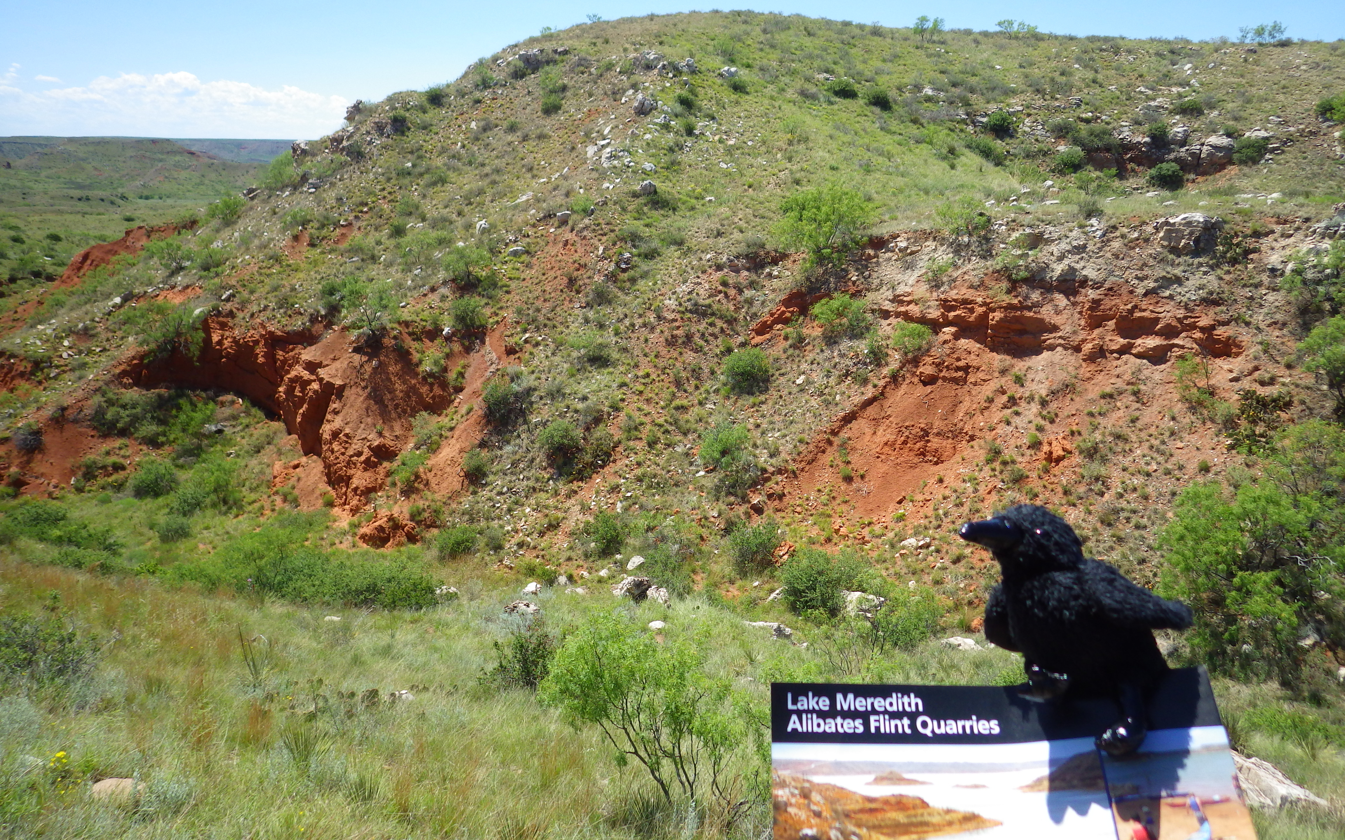
Quarrying in this part of the panhandle of Texas dates back 13,000 years to the last Ice Age. The flint found here was especially good for making spear points and was traded across the continent over the centuries. However, the harsh climate meant few humans lived here until recently, except between AD1200 and 1450. Alibates Flint Quarries National Monument is jointly managed with Lake Meredith National Recreation Area by the National Park Service (NPS).
Highlights
Flint knapping demonstrations, 10-minute film, ranger-guided tour of quarries
Must-Do Activity
Outside the NPS visitor center, dedicated park rangers frequently demonstrate the art of knapping points from flint blanks (not from within park boundaries) and other primitive survival skills.
Best Trail
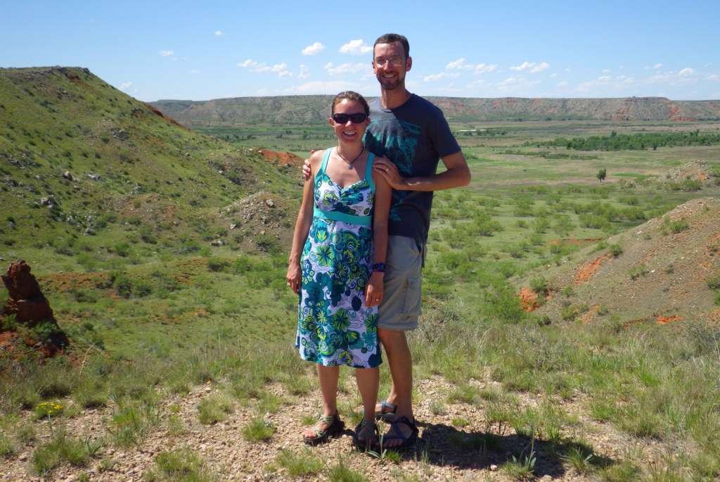
We recommend you take the free ranger-guided tour (offered twice daily) up to the quarries to get the full experience. It is a bit of a climb, but is the only way access the sites.
Instagram-worthy Photo
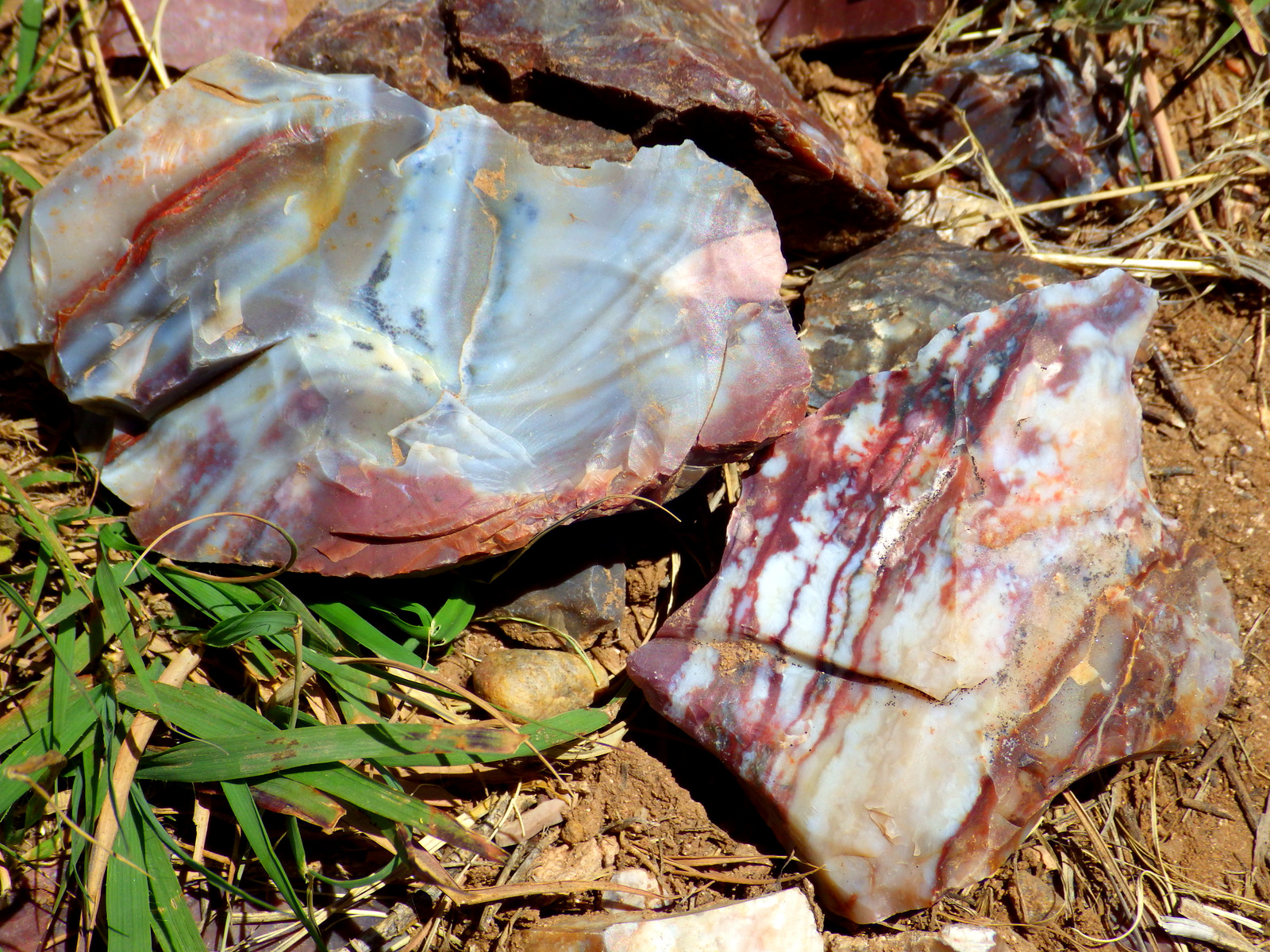
The flint here not only holds a great edge, it is also beautifully colored. The rangers will be happy to let you take rock samples home from knapping demonstrations (since the flint is not from within park boundaries).
Peak Season
Spring and fall, as it can be very hot in the summer.
Hours
https://www.nps.gov/alfl/planyourvisit/hours.htm
Fees
None
Road Conditions
Paved to the National Monument and many good dirt roads surround Lake Meredith National Recreation Area.
Camping
Free primitive camping is available around Lake Meredith where there are many dirt roads to explore, as well as developed campgrounds (fee).
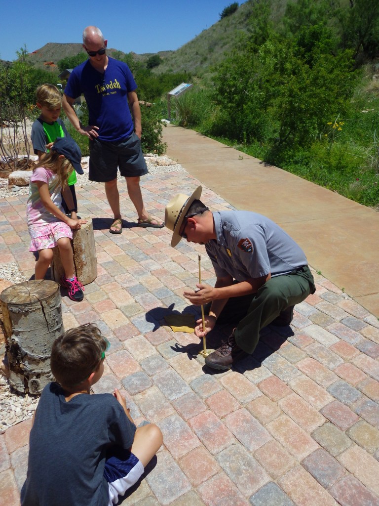
Throughout the day, NPS rangers demonstrate flint knapping and fire starting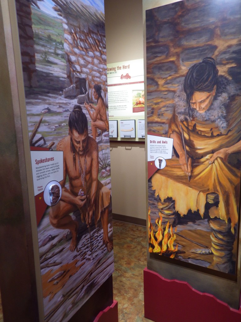

Alibates flint is very hard 
This flint outcrop has been mined for millennia 
For 13,000 years humans have quarried flint here to create millions of tools
Explore More – What is the origin of the interesting name “Alibates?”