Category Archives: Mississippi

Natchez National Historical Park

Overview

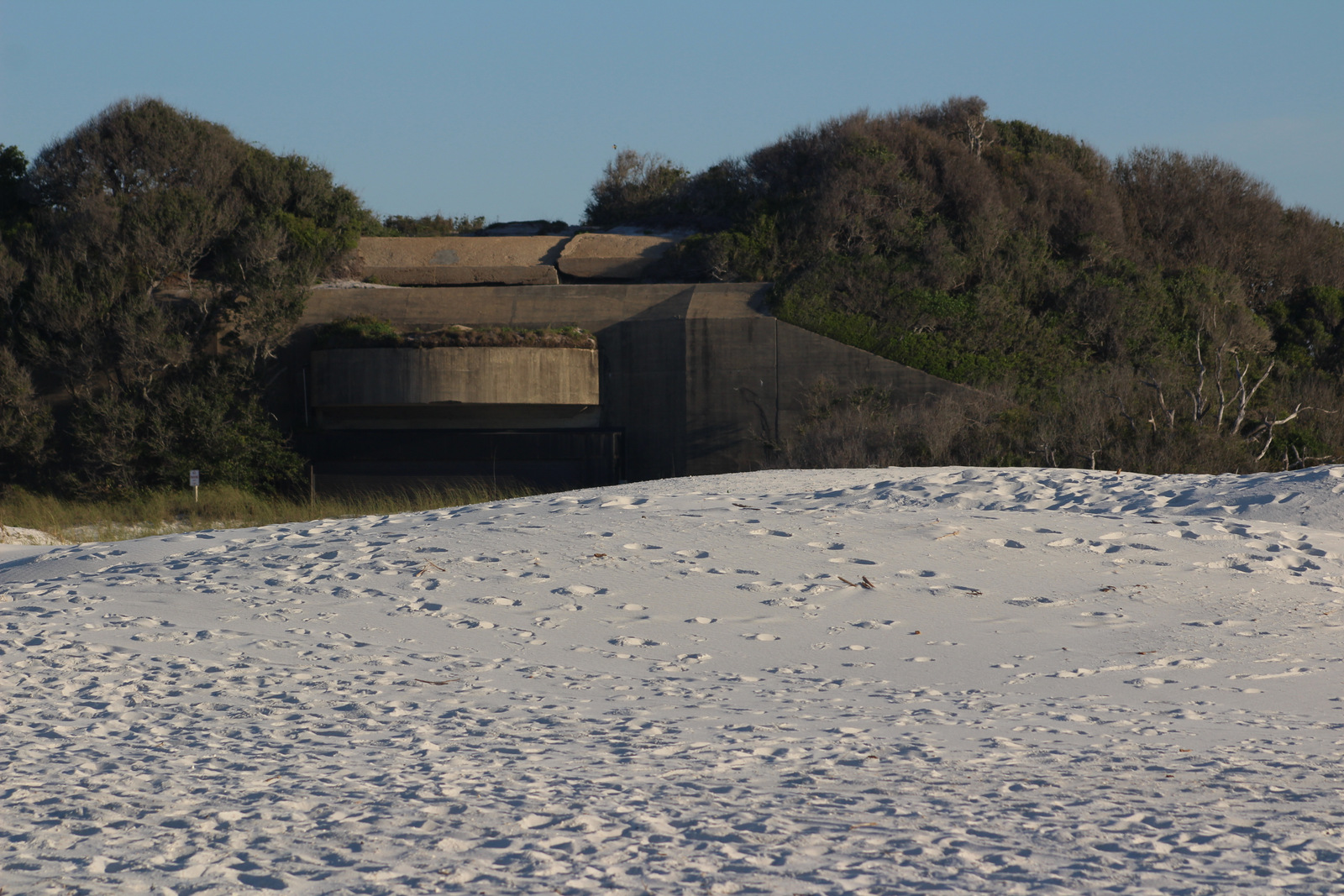
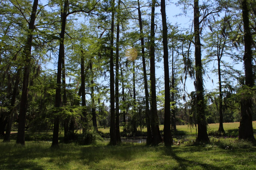
Authorized in 1988, Natchez National Historical Park occupies 82 acres in the riverside town of Natchez, Mississippi.  The town started as Fort Rosalie, a French trading post built on the Mississippi River in the early 1700s, now the site of the Visitor Reception Center.  National Park Service (NPS) rangers or volunteers are always on location at the William Johnson House and Melrose Estate.  Although it is not part of the NPS unit, we also recommend a stop at the Grand Village of the Natchez Indians State Historic Site for its free museum, film, historic mounds, and air conditioning (which is important in the humid summer).

Highlights

Melrose Estate, William Johnson House, Fort Rosalie

Must-Do Activity

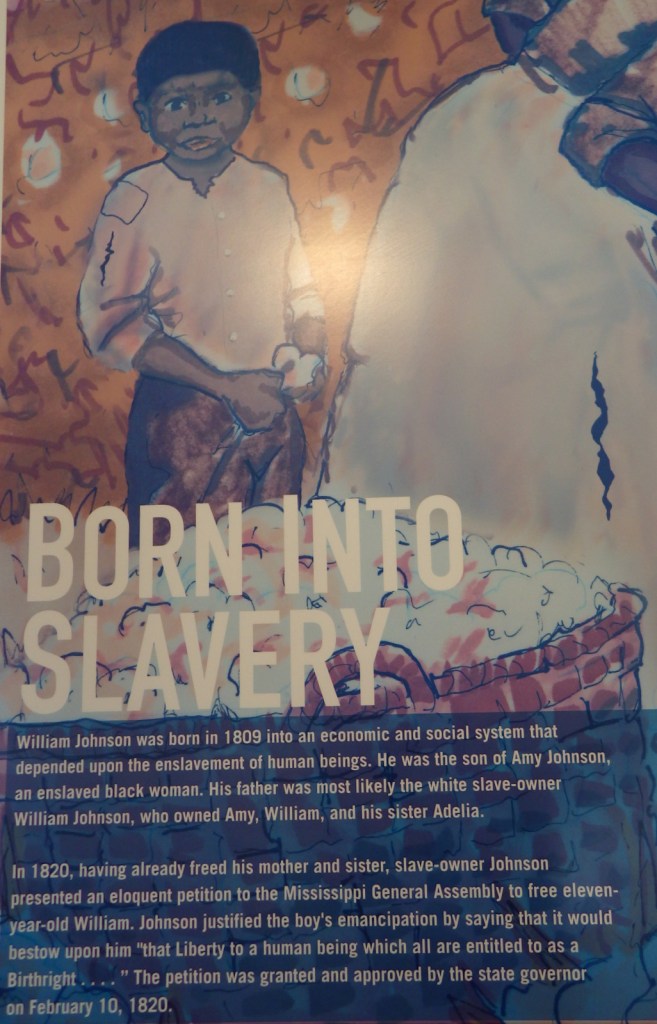
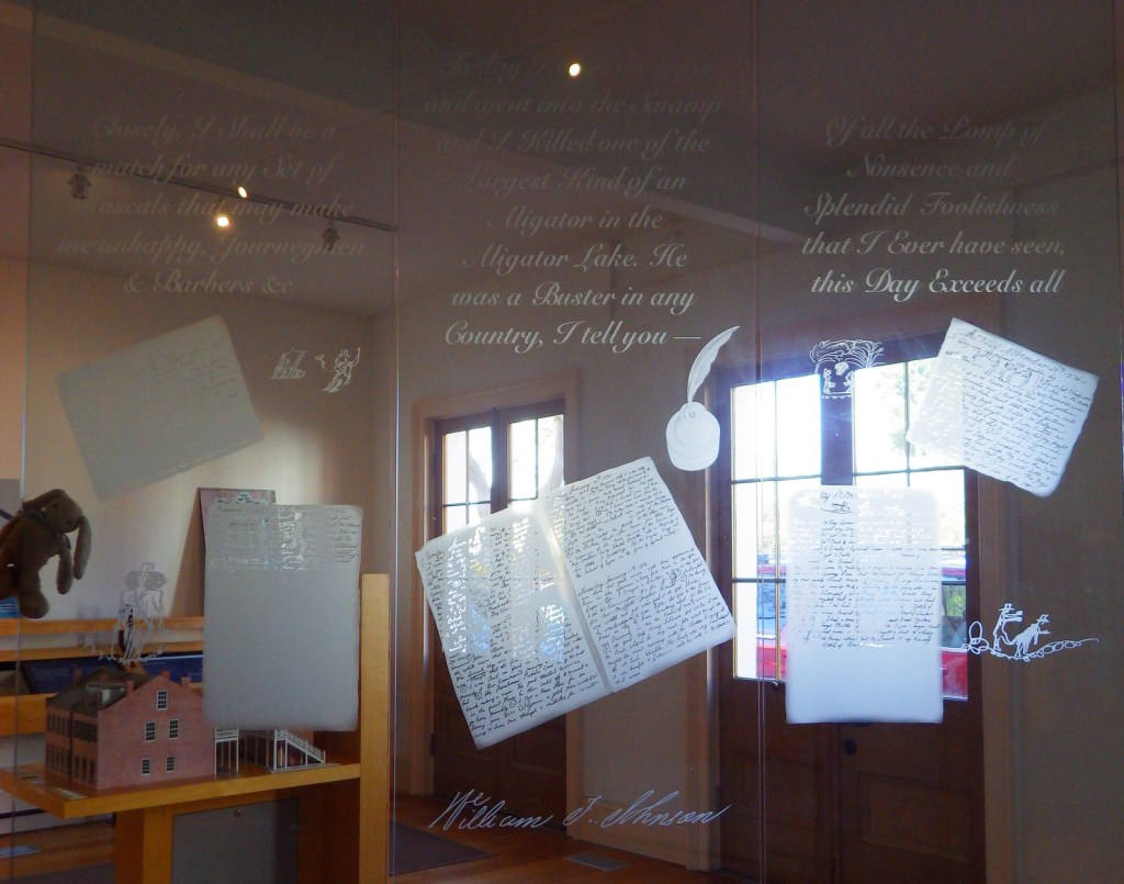
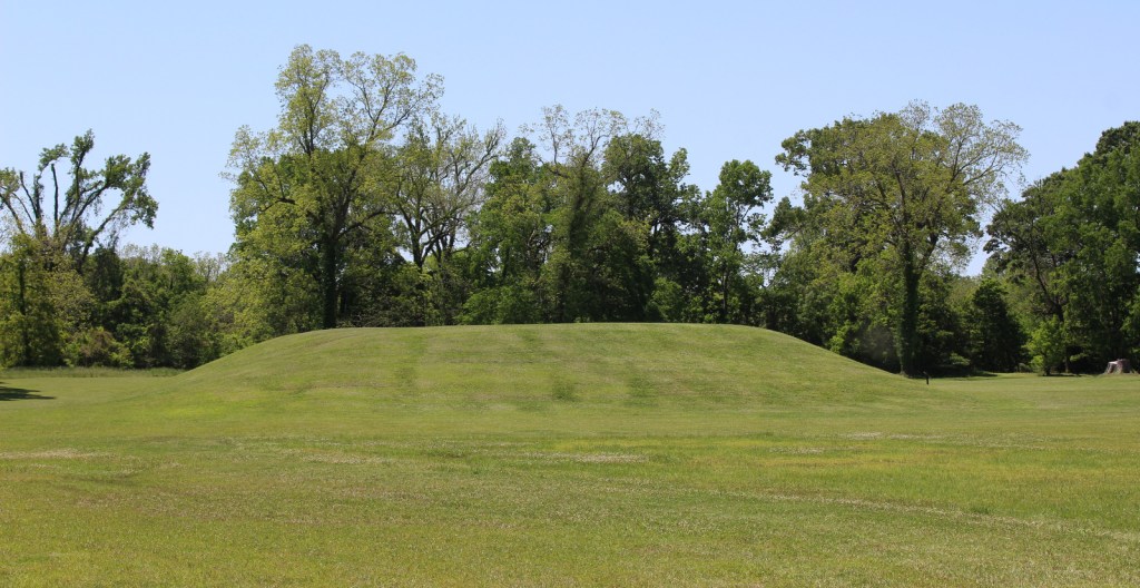
The museum in the William Johnson House tells the story of a slave freed at age 11 by his owner, also named William Johnson and presumed to be his father.  The boy apprenticed to a barber, eventually becoming a successful businessman and slave owner himself.  A diary he kept for 16 years provides insight into antebellum Natchez, including the May 7, 1840 tornado that destroyed downtown, which had about 5,000 inhabitants at the time.  Inside the NPS museum you will learn the strange story of William Johnson’s murder in 1851 that ended in three mistrials.

Best Trail

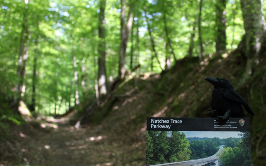
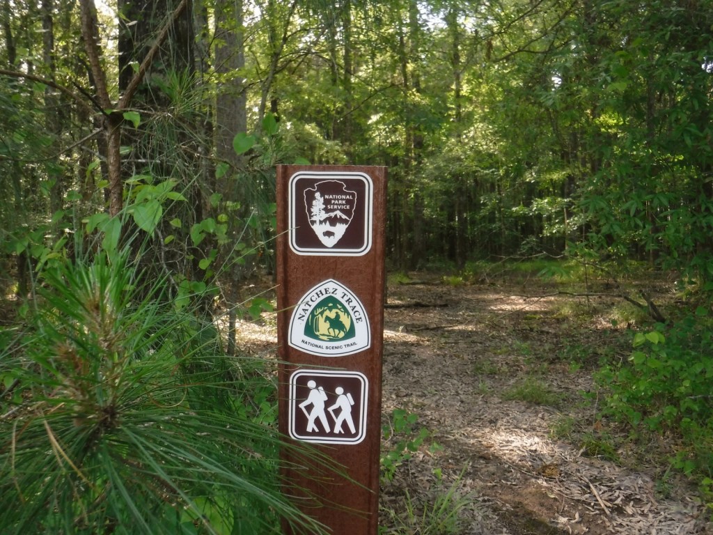
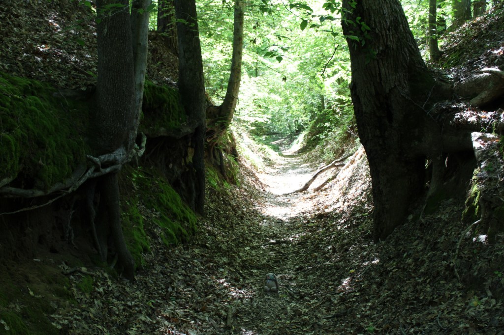
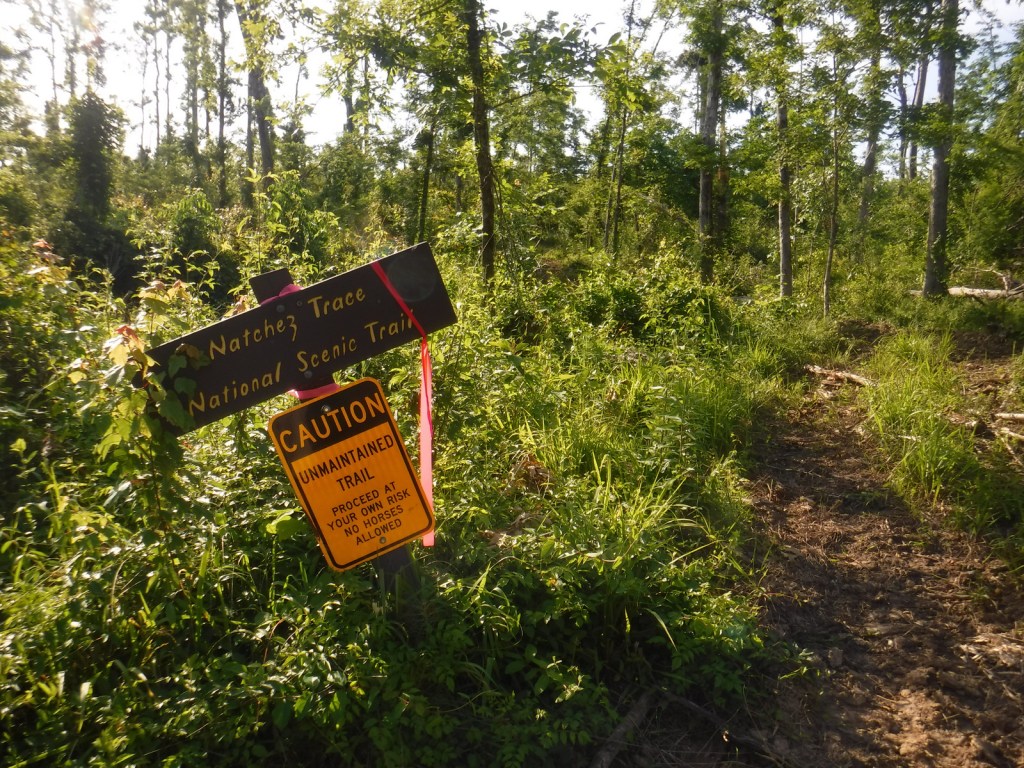
Naturally, Natchez is one terminus of the Natchez Trace Parkway, which also preserves its share of history starting at the Elizabeth Female Academy Site (Milepost 5.1) just outside town.  There are a few portions of the Old Trace that you can still follow along on the Natchez Trace National Scenic Trail.

Instagram-worthy Photo

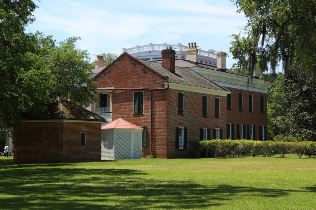
The Melrose Estate recalls the antebellum period when slaves grew cotton in the rich soil of the Mississippi River floodplains.

Peak Season

Spring and fall

Hours

https://www.nps.gov/natc/planyourvisit/hours.htm

The NPS museum at the William Johnson House is closed daily for lunch.

Fees

None for Fort Rosalie, William Johnson House, and Melrose Estate grounds, but $10 per person for mansion interior tours (no discount for America the Beautiful pass)

Road Conditions

All roads paved

Camping

Rocky Springs is the furthest south campground managed by the NPS on the Natchez Trace Parkway (Milepost 54.8) and it has no fees for camping.

Related Sites

Vicksburg National Military Park (Mississippi)

Cane River Creole National Historical Park (Louisiana)

Natchez Trace National Scenic Trail (Mississippi-Alabama-Tennessee)

Explore More – In 1839 a fire burned through Natchez destroying the William Johnson House, but the family was living in the country at the time to avoid an epidemic of what disease?

Natchez Trace National Scenic Trail

Overview

Not as well-known as the parkway it parallels, Natchez Trace National Scenic Trail is one of only three National Scenic Trails officially managed by the National Park Service (NPS).  The trace (or trail) started as an American Indian footpath.  Some of the mound builder sites protected here were inhabited when Hernando de Soto led the first Europeans into this area in 1540.  The Natchez Trace was heavily used in the 1800s by “Kaintuck” flatboatmen returning from New Orleans who left the Mississippi River from Natchez, Mississippi and continued on foot north to Nashville, Tennessee.  Today you can follow portions of the “sunken” trail worn down by travelers for centuries.

Highlights

Rocky Springs, Owens Creek Waterfall, Tupelo-Baldcypress Swamp, Grindstone Ford, Witch Dance Horse Trail, War of 1812 Memorial

Must-Do Activity

The Natchez Trace National Scenic Trail does not follow the entire 444-mile parkway, but exists in five segments totaling 67 miles in length.  The two longest sections are near Leipers Fork, Tennessee (Miles 408-427) and north of Jackson, Mississippi (Miles 108-130).  There are many other places to go hiking along the Natchez Trace Parkway, including one of our favorite spots, Tishomingo State Park (Mile 304) in Mississippi.  Near Tupelo, the Parkway Visitor Center at Mile 266 is another must-do stop to learn the history of the trace.

Best Trail

There are eight miles of the original trail around the Rocky Springs Campground near Mile 58 in Mississippi, which provides access to Owens Creek Waterfall and a historic town site.

Instagram-worthy Photo

In early April the dogwood trees bloom along the Natchez Trace.  At Mile 275 is Dogwood Valley, which also has a short section of “sunken” historic trail.

Peak Season

Spring and fall

Hours

https://www.nps.gov/natt/planyourvisit/hours.htm

Fees

None

Road Conditions

The entire 444-mile Natchez Trace Parkway is paved from Natchez, Mississippi to Nashville, Tennessee, but not all trailheads are RV accessible.

Camping

There are three NPS campgrounds along the route, as well as those in sites like Mississippi’s Tishomingo State Park.  The three NPS campgrounds are primitive and free, plus there are also five bike-only campsites along the route.

Related Sites

Tupelo National Battlefield (Mississippi)

Natchez National Historical Park (Mississippi)

Vicksburg National Military Park (Mississippi)

Explore More – The Natchez Trace Parkway officially joined the NPS system in 1938, but when was construction of the road finally completed?

Gulf Islands National Seashore

Overview

Gulf Islands National Seashore is renowned for white sand beaches on the barrier islands in the Gulf of Mexico, but there is more than beaches on the shores of Mississippi and the Florida panhandle (yes, Alabama is in the middle but is not part of this park).  The white sand that attracts beachgoers here originated as quartz in the Appalachian Mountains.  This coastal region was originally purchased by the U.S. from Spain in 1821 and 150 years later Gulf Islands National Seashore was created. 

Highlights

Fort Pickens, Naval Live Oaks Area, Fort Barrancas, West Ship Island ferry, white sand beaches, wildlife

Must-Do Activity

The National Park Service (NPS) has four visitor centers for Gulf Islands National Seashore, one on the mainland in Ocean Springs, Mississippi and the other three are south of Pensacola, Florida.  The most developed area is around Fort Pickens on Santa Rosa Island with its popular campground.  Nearby, Fort Barrancas sits next to the free National Museum of Naval Aviation on the military base.  The Naval Live Oaks Area protects the first federal tree farm started for shipbuilding purposes in 1828.  In Mississippi, only Davis Bayou can be reached by road, with (seasonal) ferry service limited to West Ship Island.  Otherwise, bring your own boat!

Best Trail

The 1,300-mile long Florida National Scenic Trail starts at Fort Pickens then runs east across Santa Rosa Island.

Instagram-worthy Photo

Fort Pickens dates back to 1829 with additional batteries upgraded during World War II.  Inside the fort there is a nice museum explaining the history of Santa Rosa Island.

Peak Season

Summer

Hours

https://www.nps.gov/guis/planyourvisit/hours.htm

Fees

$25 per vehicle or free with America the Beautiful pass

Road Conditions

All access roads are paved

Camping

Reservations are highly recommended for the NPS campgrounds on Santa Rosa Island, Florida and Ocean Springs, Mississippi.  Primitive camping is allowed on undeveloped East Ship, Horn, and Petit Bois Islands.

Related Sites

Dry Tortugas National Park (Florida)

Canaveral National Seashore (Florida)

Everglades National Park (Florida)

Explore More – What are the four species of sea turtles that nest on the park’s beaches?

Shiloh National Military Park

Overview

Following the victory at Fort Donelson, Union General Ulysses S. Grant moved his 50,000 troops aboard steamboats down the Tennessee River to Pittsburg Landing.  The army camped near a log church named the Shiloh Meeting House where they awaited the marching Army of Ohio before advancing on the important railroad crossroads in Corinth, Mississippi.  The Confederate army launched a surprise attack on April 6, 1862, pushing the enemy lines back two miles before Union reinforcements finally arrived.  After two days and 23,746 soldiers killed, wounded, captured, or missing, the Confederates abandoned the field and Corinth.  There were an additional 7,000 casualties when they failed to recapture the town in October 1862.

Highlights

Museum, film, driving tour, Shiloh Meeting House, Indian mounds, cannons

Must-Do Activity

Start with the great 45-minute movie at the National Park Service (NPS)  visitor center then take the 12.7-mile driving tour with twenty stops that passes 150 commemorative monuments, 229 cannons, and 4,000 graves in Shiloh National Cemetery.  The site also contains 800-year-old American Indian mounds within a 45-acre National Historic Landmark.  A free pass to the Tennessee River Museum in Savannah is also provided at the NPS visitor center.  In addition to the NPS unit in Shiloh, Tennessee, there is an Interpretive Center 22 miles away in Corinth, Mississippi. 

Best Trail

The short trail through the 800-year-old Indian mounds provides views of the Tennessee River.

Instagram-worthy Photo

A reconstruction of the Shiloh Meeting House log church is found along the driving tour.

Peak Season

Summer

Hours

https://www.nps.gov/shil/planyourvisit/basicinfo.htm

Fees

None

Road Conditions

All roads paved

Camping

None in the park, but Pickwick Landing State Park is located 15 miles to the southeast.

Related Sites

Fort Donelson National Battlefield (Tennessee-Kentucky)

Stones River National Battlefield (Tennessee)

Vicksburg National Military Park (Mississippi)

Explore More – Originally managed by the U.S. military, when was this park established?

Tupelo National Battlefield

Overview

Two cannons and a monument mark this one-acre (less than a football field) National Park Service (NPS) site surrounded by the city of Tupelo, Mississippi.  The park was established in 1929 to memorialize the battle of July 14, 1864, when the Union army drove off Confederate troops trying to disrupt General William T. Sherman’s railroad supply line at the historic town of Harrisburg. Located only one mile off the Natchez Trace Parkway, Tupelo’s own Elvis Presley probably visited this park as a child.

Highlights

Cannons

Must-Do Activity

Unlike other NPS sites, Tupelo National Battlefield provides much easier access to a car wash and a Walmart store.  Its visitor center is combined with the one for the Natchez Trace Parkway just outside Tupelo.  The city of Baldwyn, Mississippi runs an interpretive center (with a small admission fee) that also commemorates a Confederate victory on June 10, 1864 at Brices Cross Roads National Battlefield Site.   

Best Trail

There is a sidewalk on two sides of the one-acre park.

Instagram-worthy Photo

This is one of the smallest units in the NPS system, but from one angle, Tupelo National Battlefield looks like many larger Civil War parks.

Peak Season

“They get about a week of spring then the summer is blistering.” –Jason Isbell from the song “Tupelo”

Hours

https://www.nps.gov/tupe/planyourvisit/hours.htm

Fees

None

Road Conditions

All roads paved, with street parking available.

Camping

Tombigbee State Park offers camping about 10 miles from Tupelo.

Explore More – What does the T. stand for in General William T. Sherman’s name?