Homochitto National Forest
Mississippi
Managed by U.S. Forest Service, Southern Region
373,497 acres (191,839 federal/ 181,658 other)
Website: https://www.fs.usda.gov/recarea/mississippi/recarea/?recid=28865
Overview
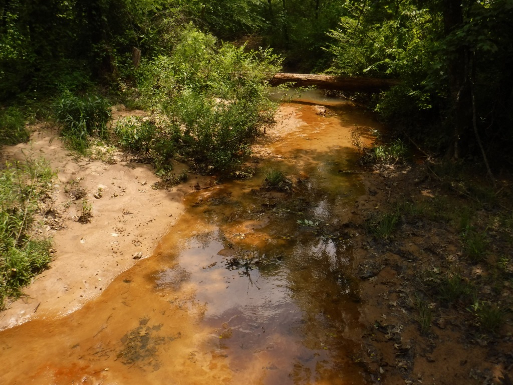
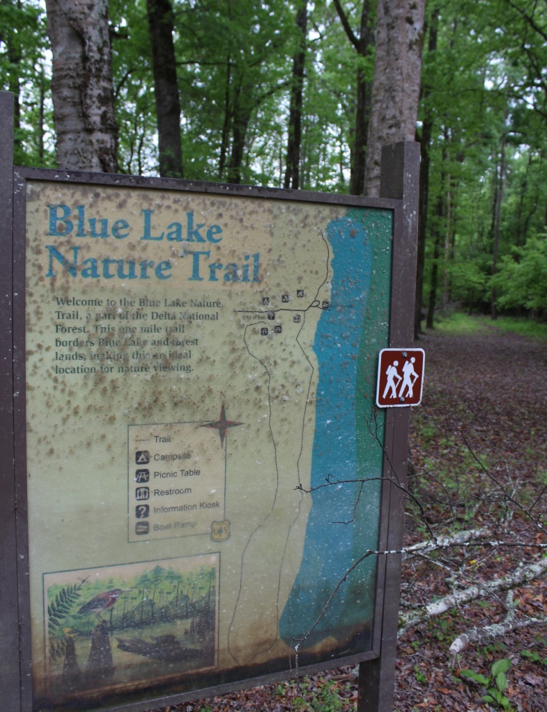
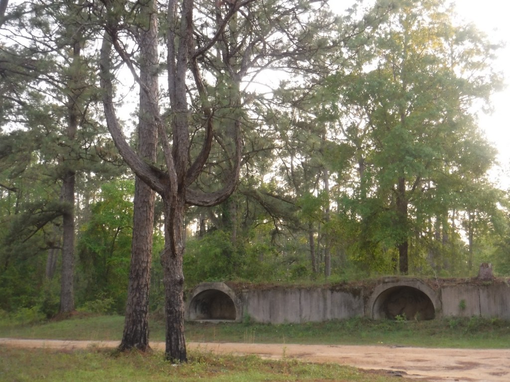
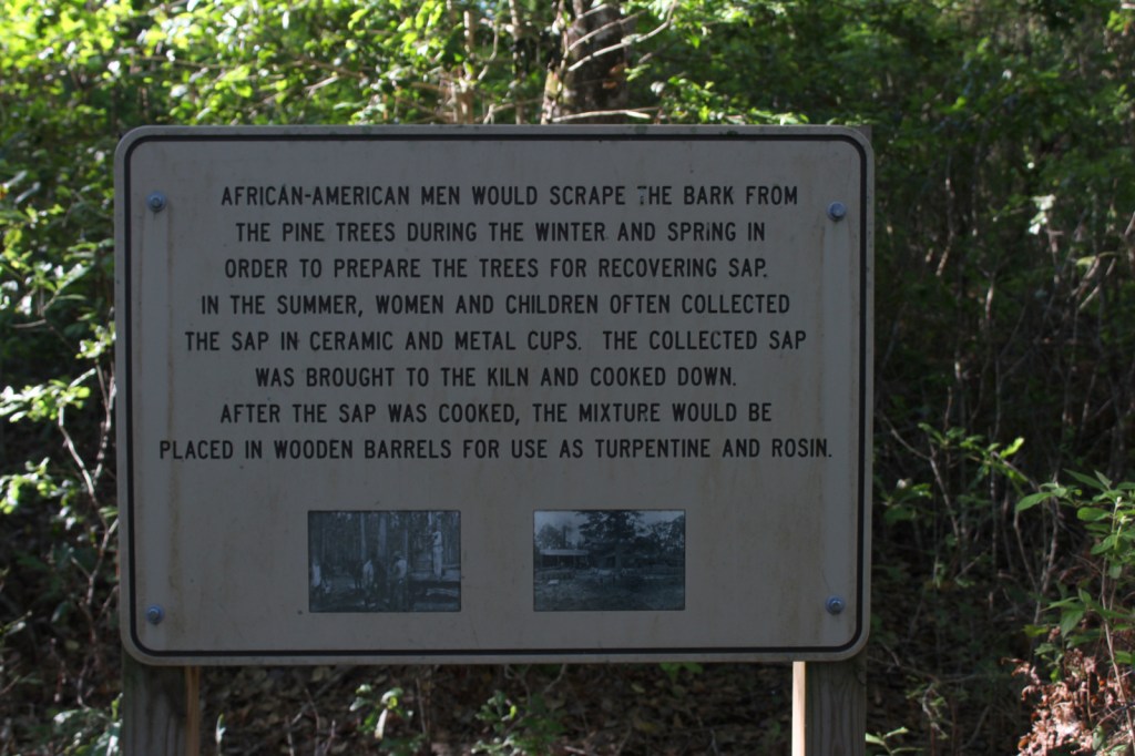
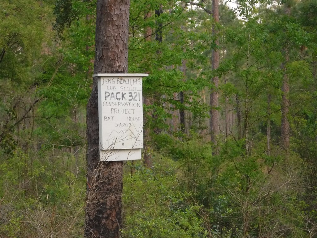
In southwest Mississippi, Homochitto National Forest is comprised of former cotton fields purchased and replanted with trees by the federal government in the 1930s. It is named for the 90-mile-long Homochitto (“huh-mah-CHIT-ah”) River that runs through the forest on its way to the Mississippi River south of Natchez. All six National Forests in Mississippi are managed as one administrative unit, including Bienville, De Soto, Delta, Holly Springs, Homochitto, and Tombigbee National Forests. The Homochitto district ranger station is located in Meadville.

Highlights
Clear Springs Lake Recreation Area, Pipes Lake Recreation Area, Mt. Nebo Recreation Area, Stephenson Lookout Tower, Pellucid Bayou, Brushy Creek Loop, Tally’s Creek Trail, Richardson Creek Trail
Must-Do Activity
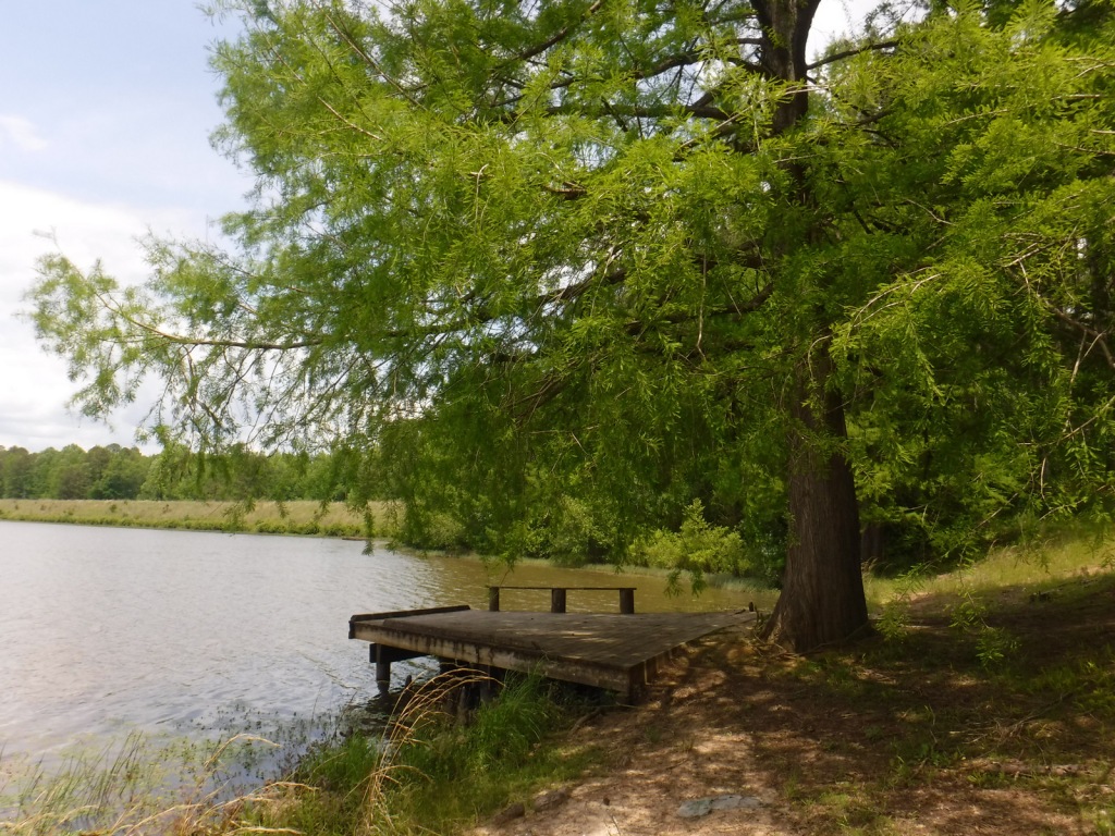
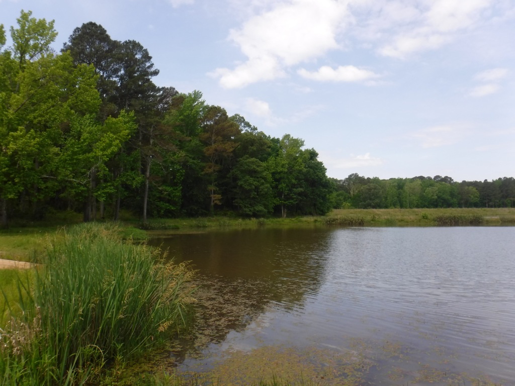
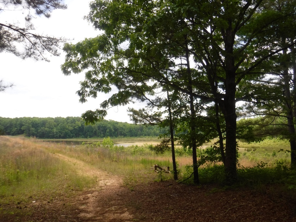
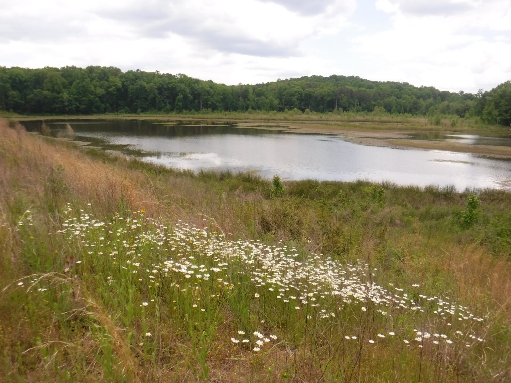
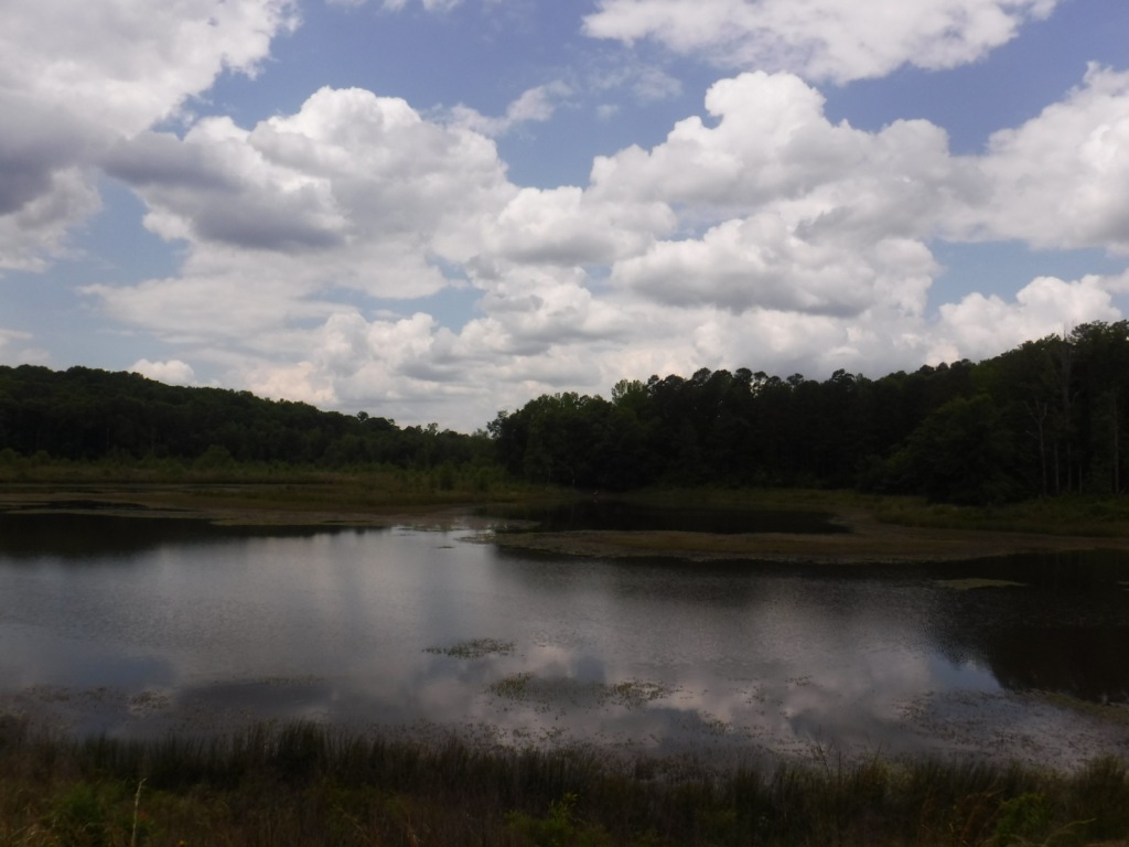
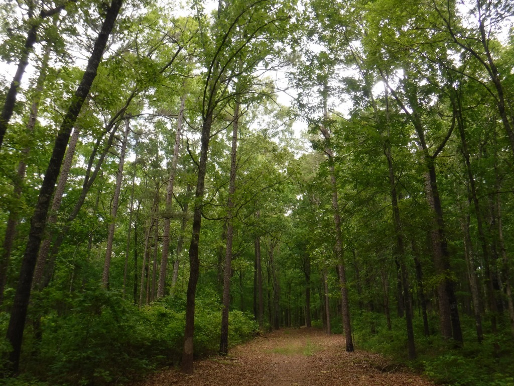
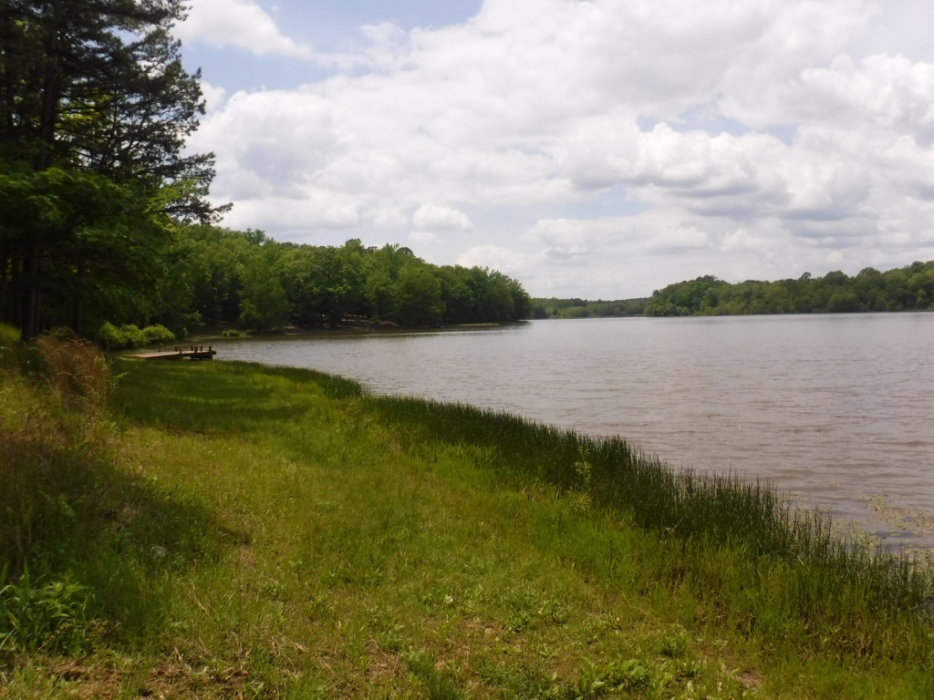
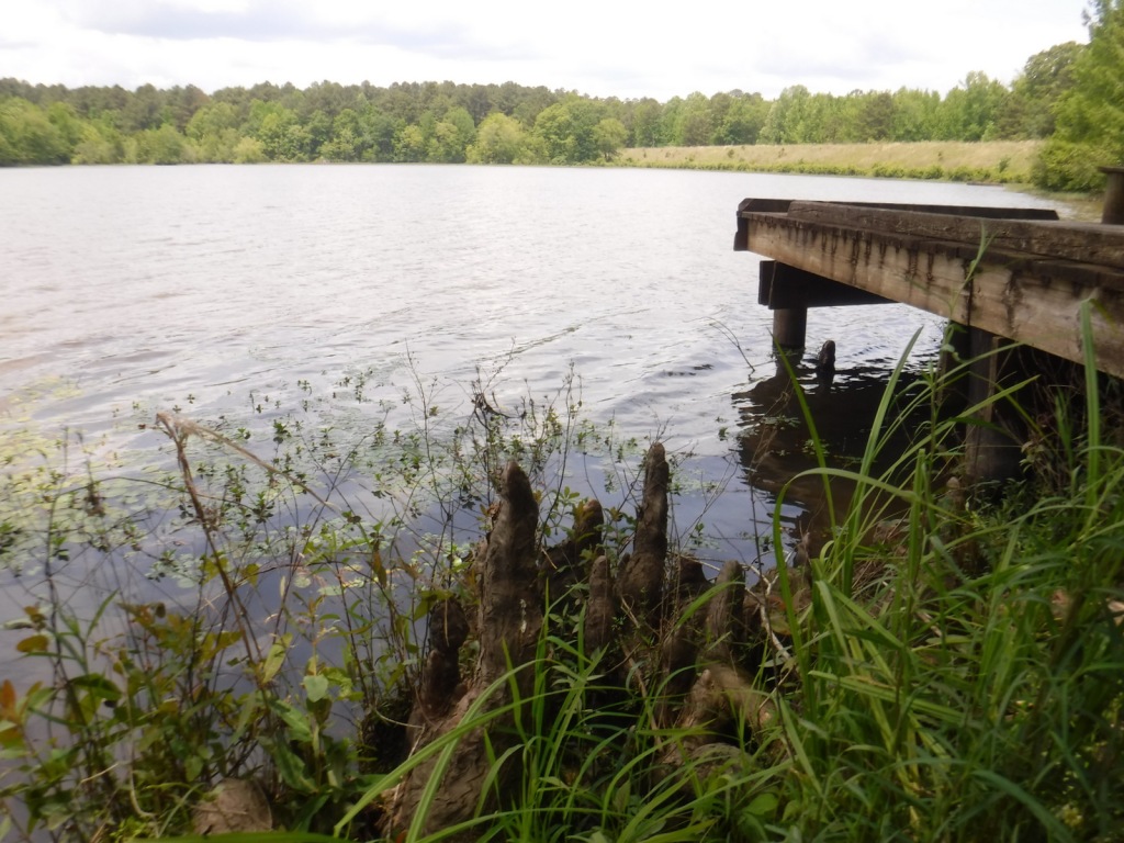
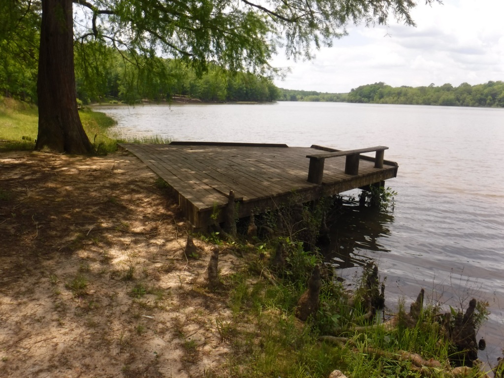
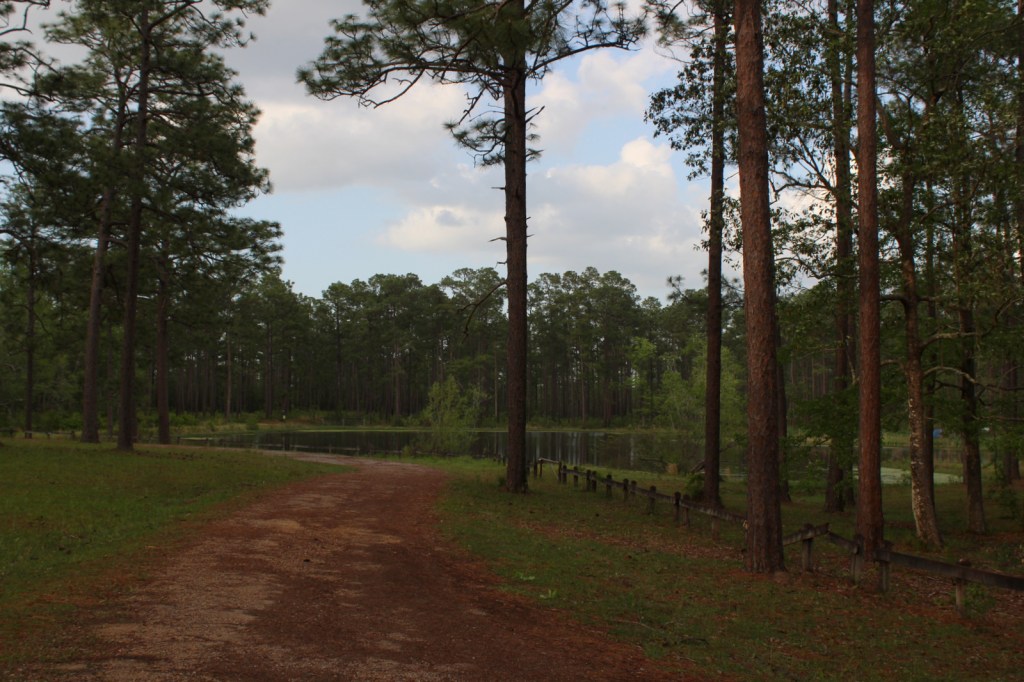
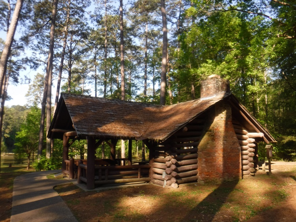
Homochitto National Forest has developed facilities at three small lakes: Clear Springs, Pipes, and Mt. Nebo. A one-mile trail encircles scenic Clear Springs Lake, which has a picnic shelter built by the Civilian Conservation Corps (CCC) in 1935 listed on the National Register of Historic Places. Elsewhere, Brushy Creek Loop is a 5.7-mile horse trail that is not recommended for hikers due to abundant mud and manure.
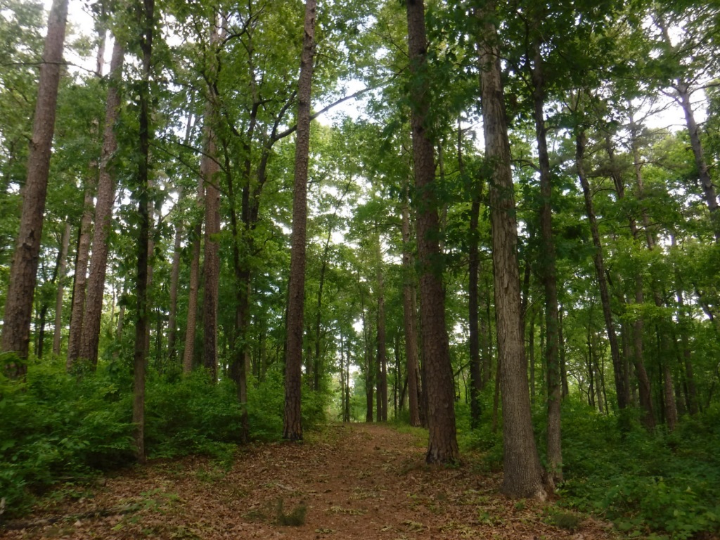
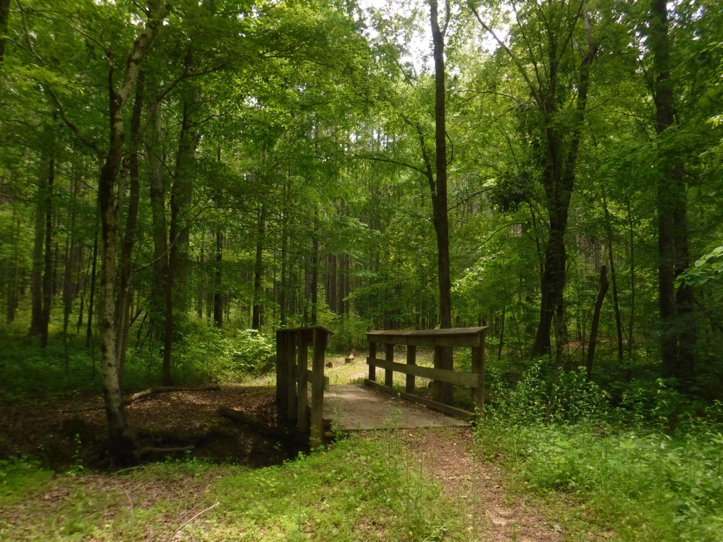
Best Trail
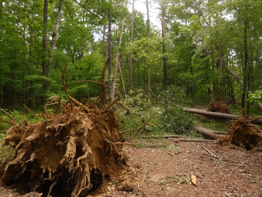
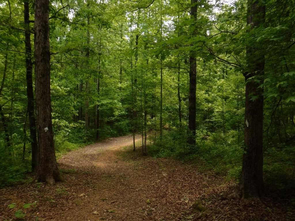
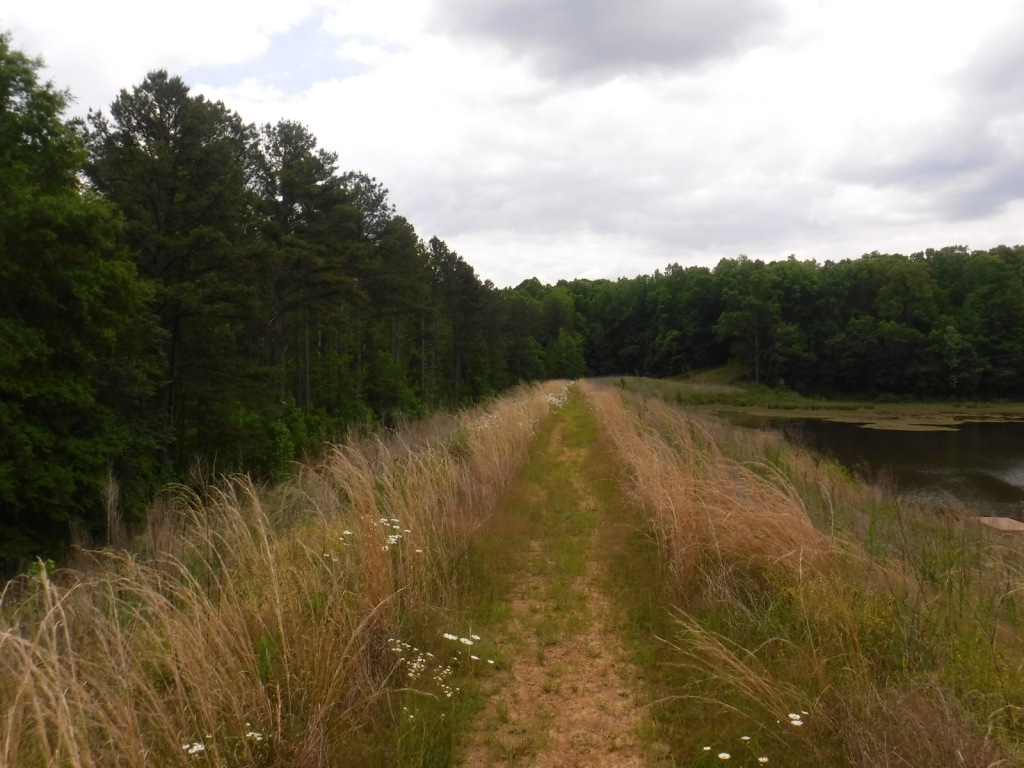
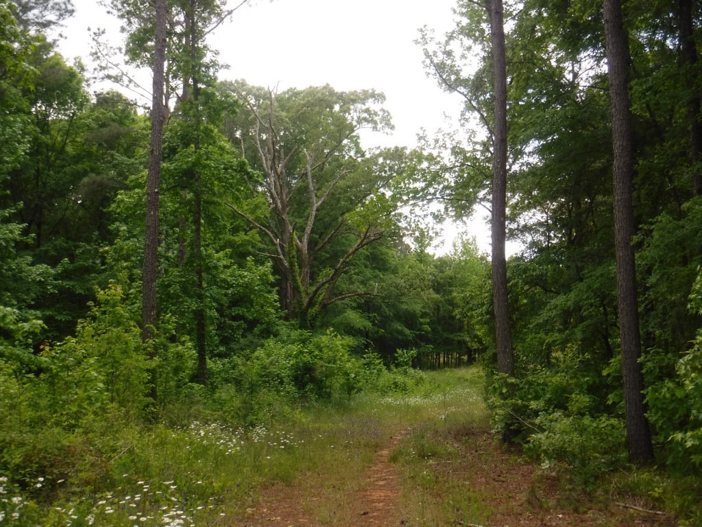
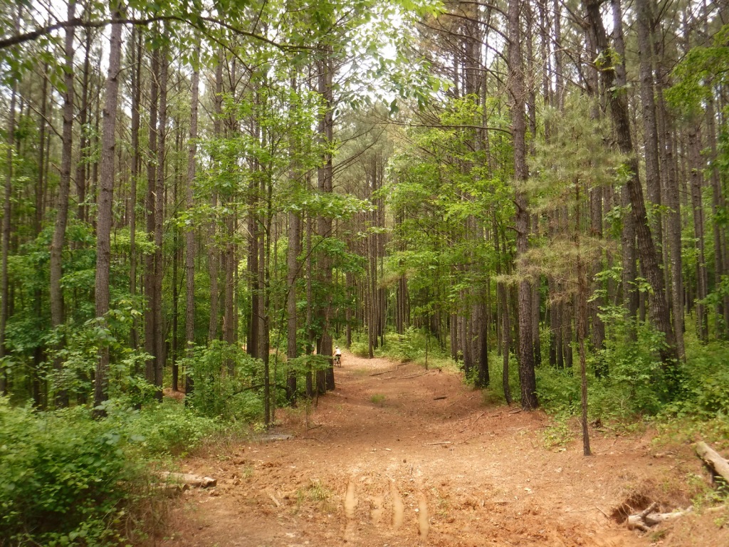
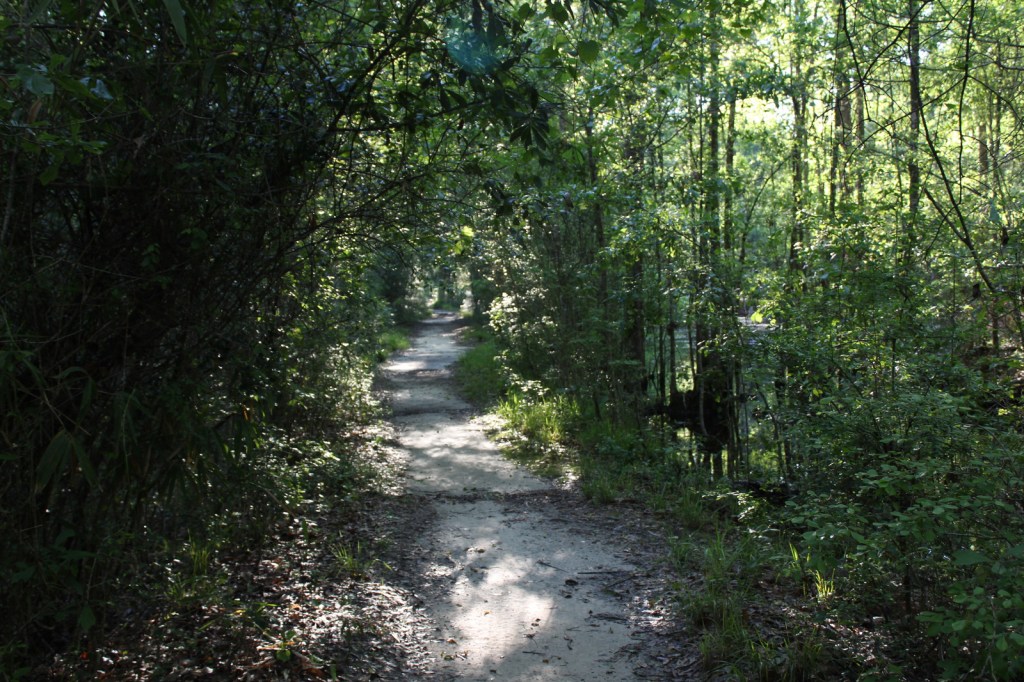
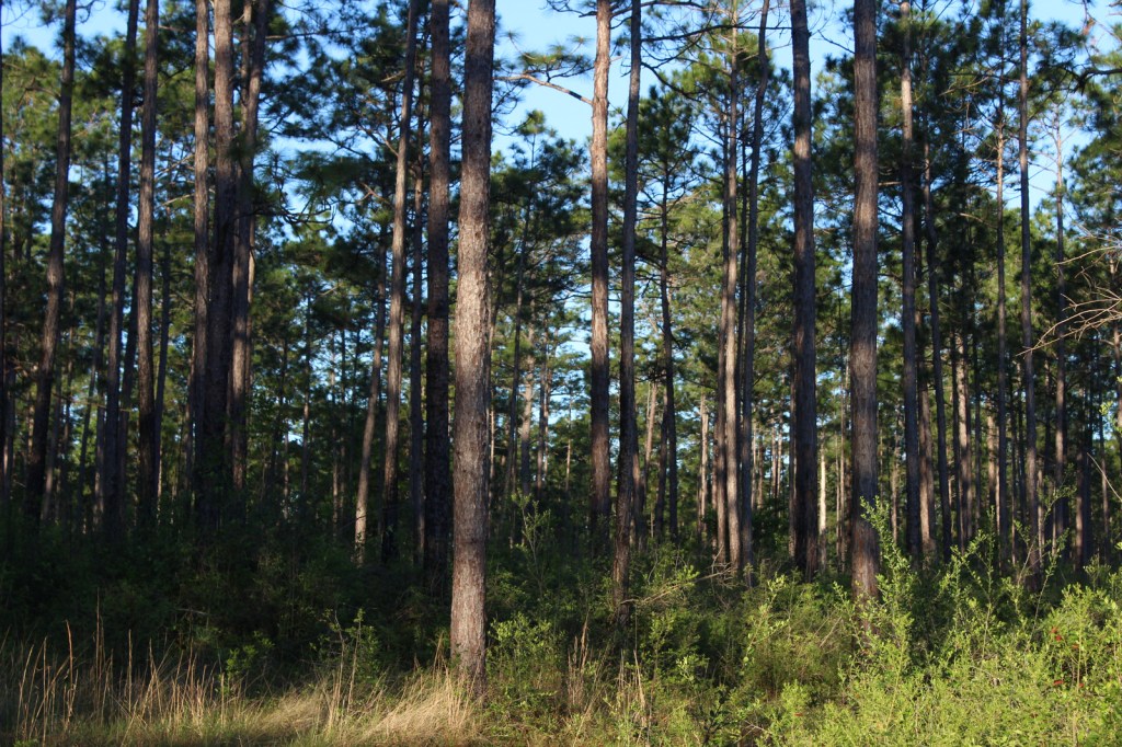
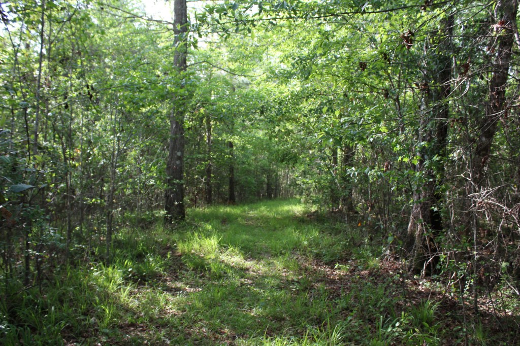
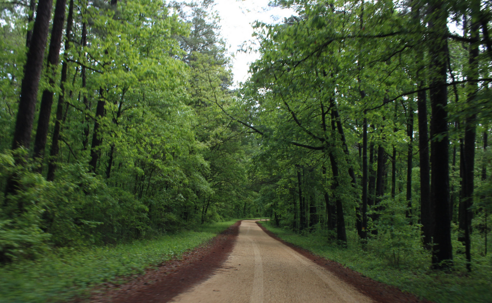
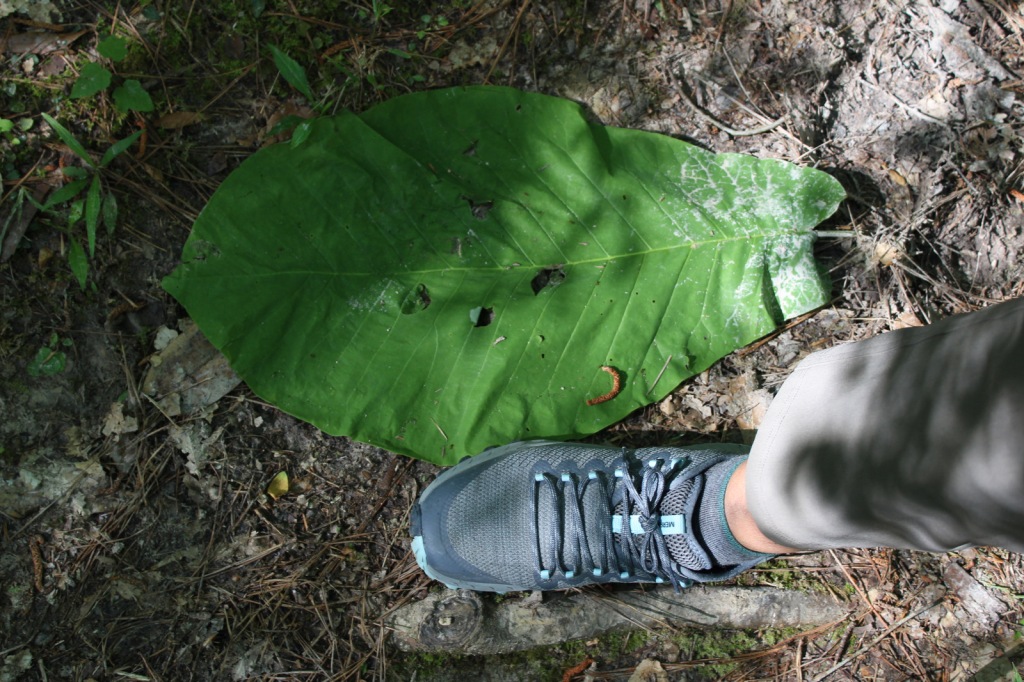
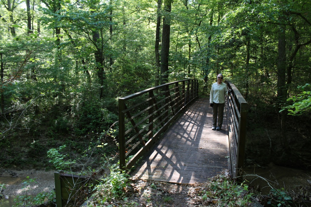
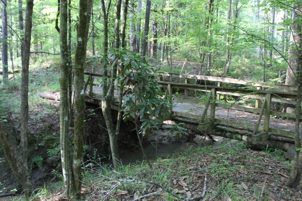
Just north of the Clear Springs Lake Campground is a trailhead (fee) for three long hiking trails, also maintained for mountain biking. Only the 10-mile-long Richardson Creek Trail was open during our visit with Tally’s Creek (10.8 miles) and Mill Branch (5.6 miles) closed due to downed trees. The route was well-marked with red blazes and had several nice bridges as it wound through the forested hills around Richardson Creek.
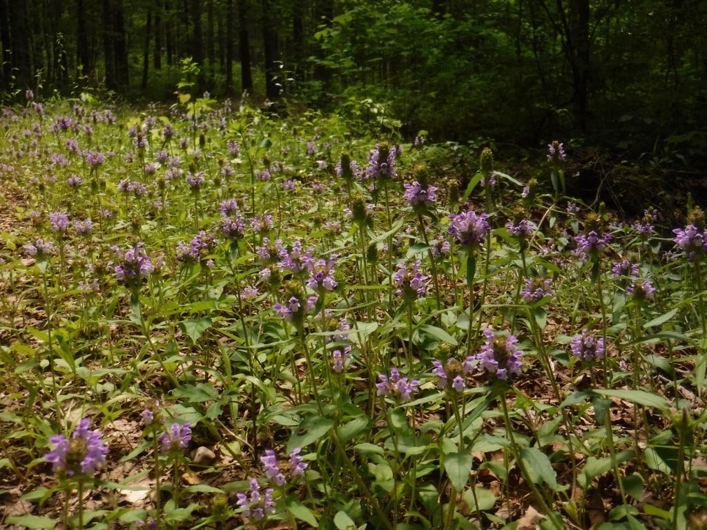
Watchable Wildlife
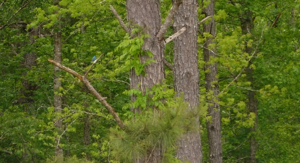
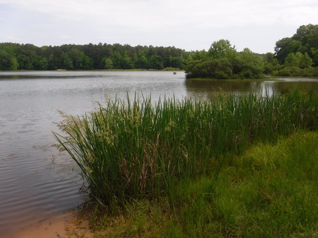
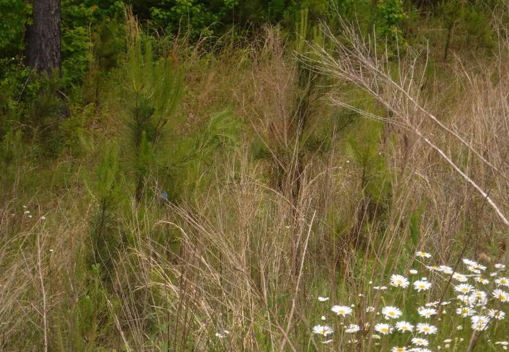
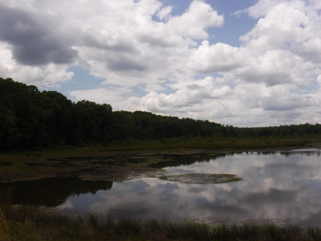
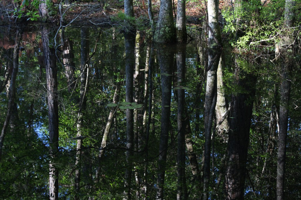
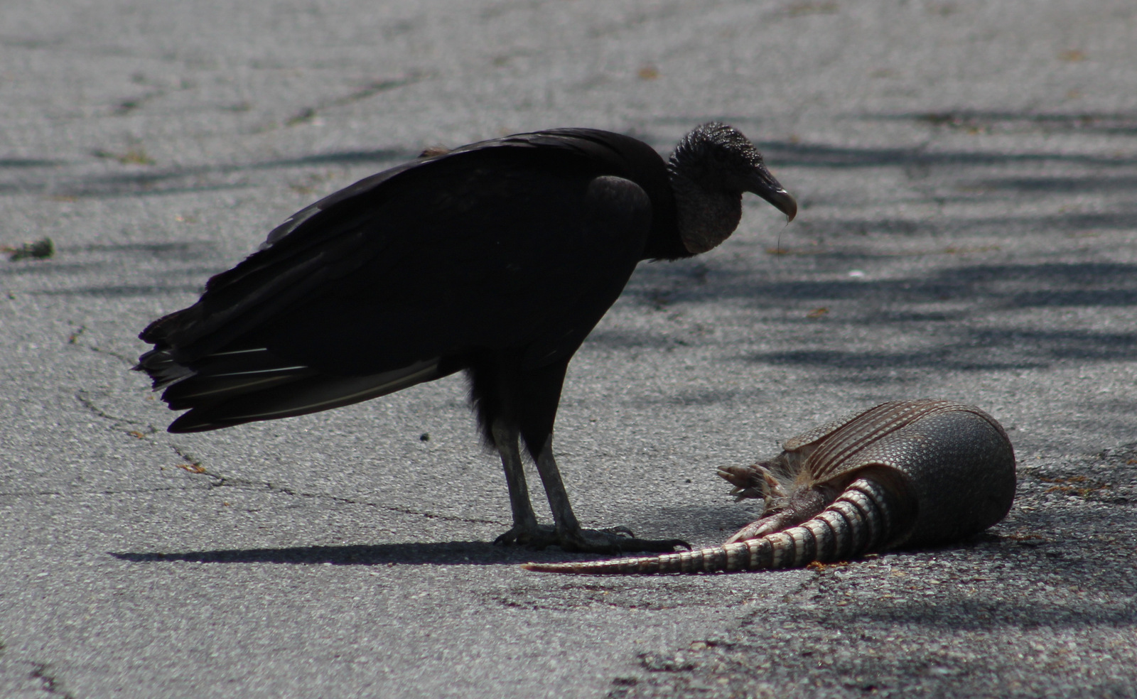
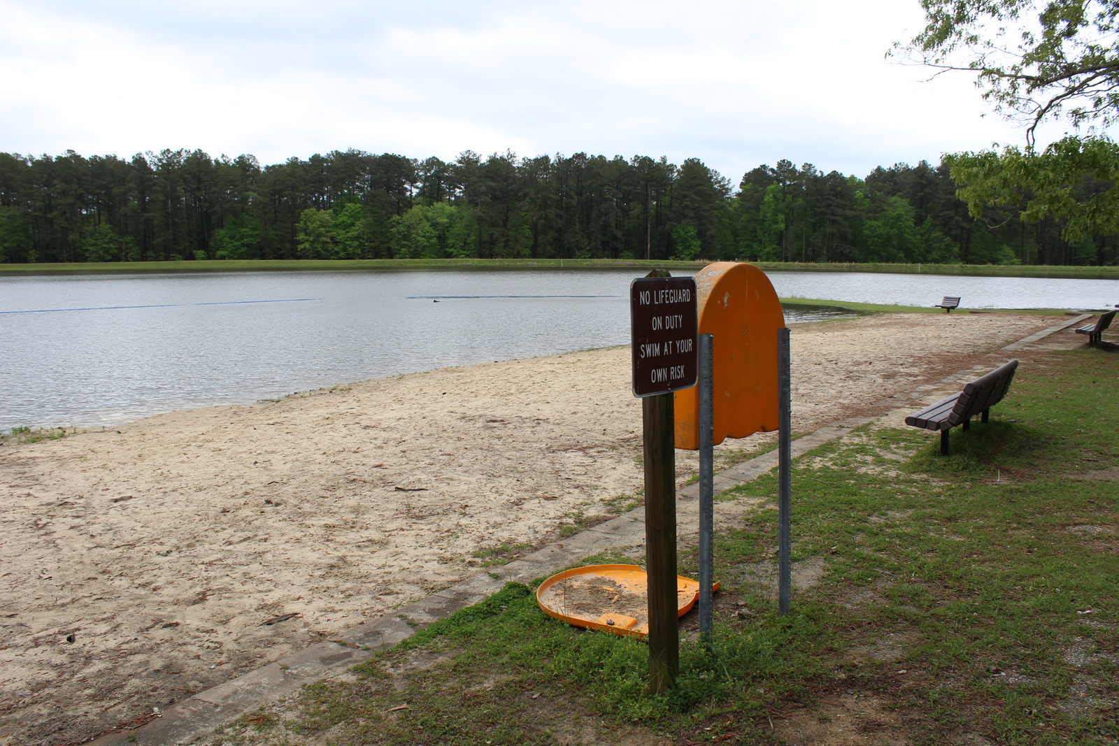
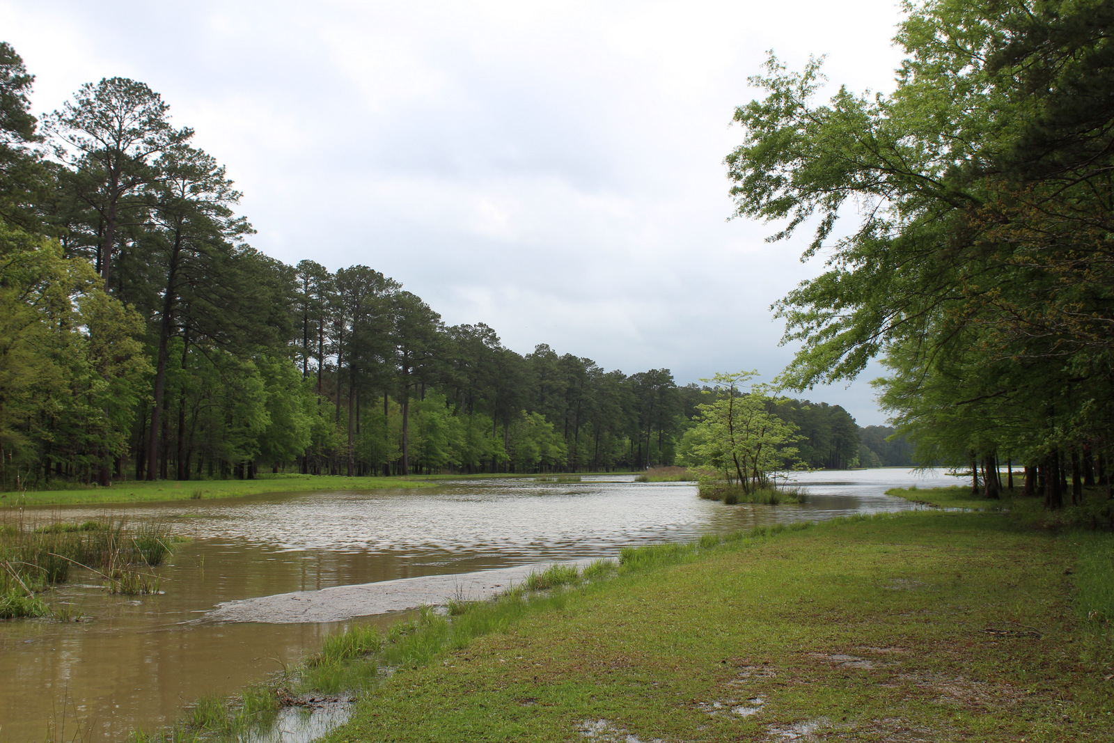
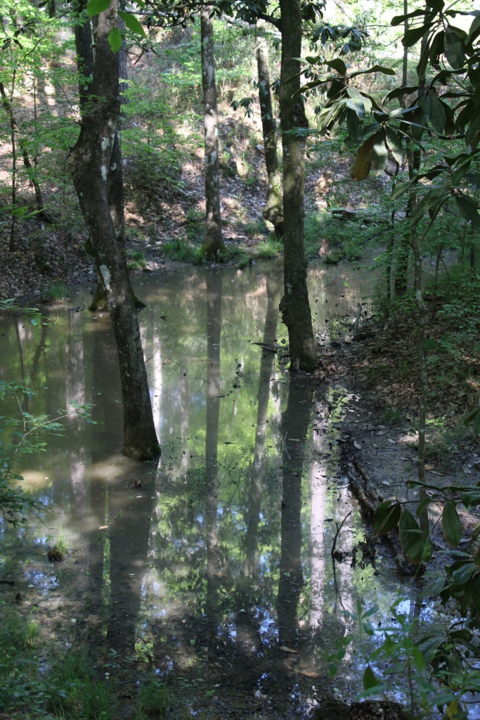
Clear Springs Lake has a sign warning of alligators, but we did not see any reptiles other than painted turtles. While camping overnight we heard what possibly was a frog making an interesting call that sounded like a lightsaber from Star Wars. Birds we spotted were a wild turkey, cardinal, goldfinch, and tufted titmouse. It is likely the National Forest allows hunting for white-tailed deer, wild turkey, ducks, and invasive wild pigs. Fishing for largemouth bass, catfish, and other species is allowed at Clear Springs, Pipes, and Mt. Nebo Lakes.
Instagram-worthy Photo
The picnic shelter at Clear Springs Lake was built by the Civilian Conservation Corps (CCC) in 1935 and is listed on the National Register of Historic Places.
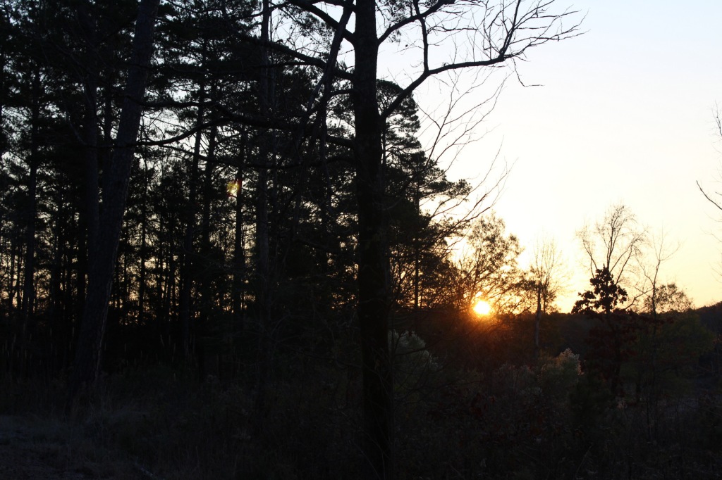
Peak Season
Spring and fall
Fees
Clear Springs Lake Recreation Area charges a day use fee of $5 per vehicle or half price with the America the Beautiful pass.
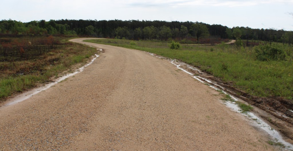
Road Conditions
The road is paved to Clear Springs Lake, about 32 miles east of Natchez.
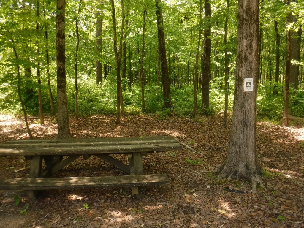
Camping
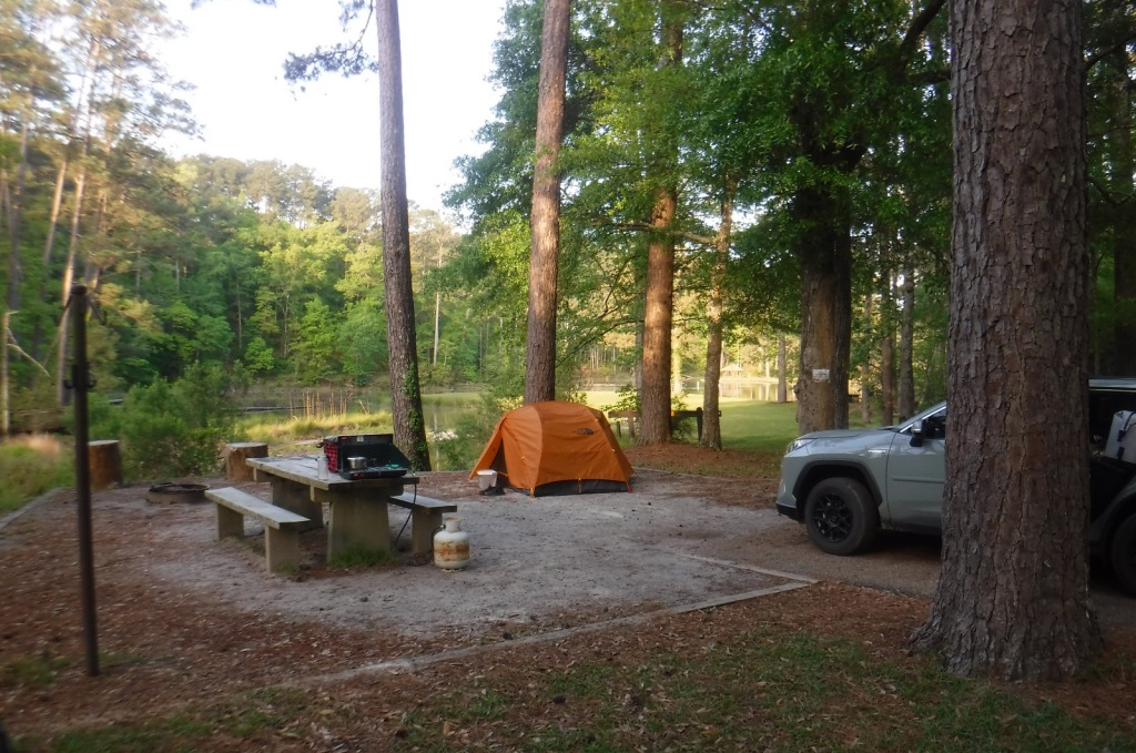
There is a nice campground with showers on Clear Springs Lake, accessed by a paved road four miles south of Highway 84. Campsites with hookups cost $20 per night and those without cost $7.
Wilderness Areas
None
Related Sites
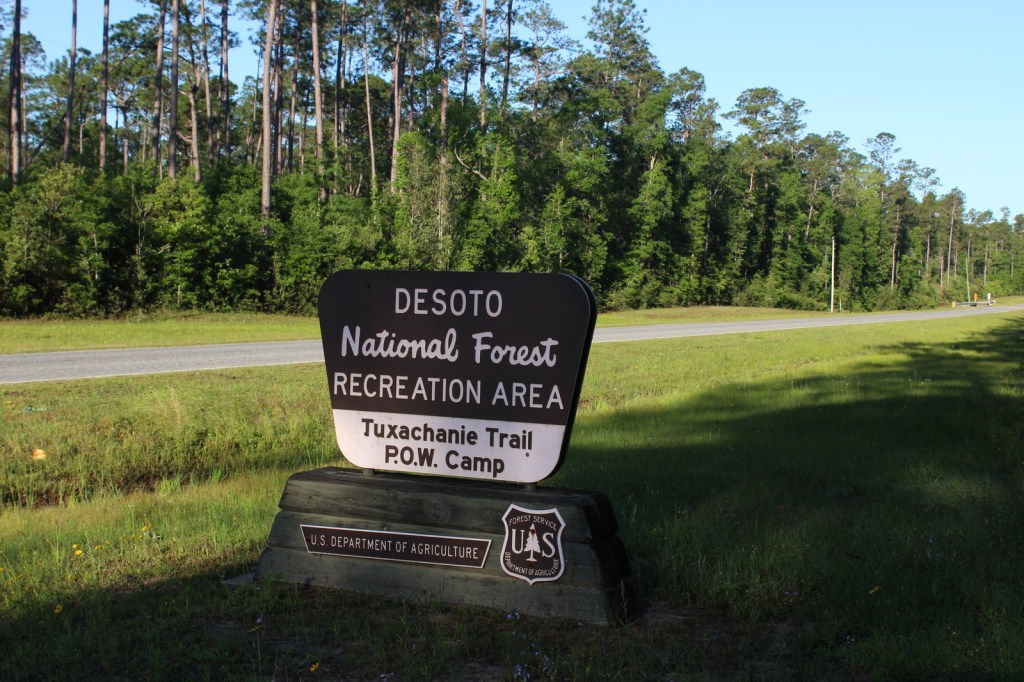
De Soto National Forest (Mississippi)
Natchez National Historical Park (Mississippi)
Natchez Trace National Scenic Trail (Mississippi-Alabama-Tennessee)
Nearest National Park


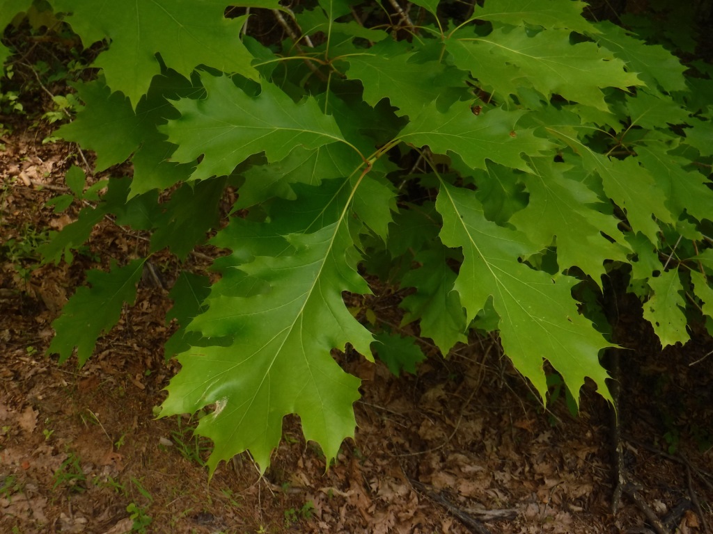
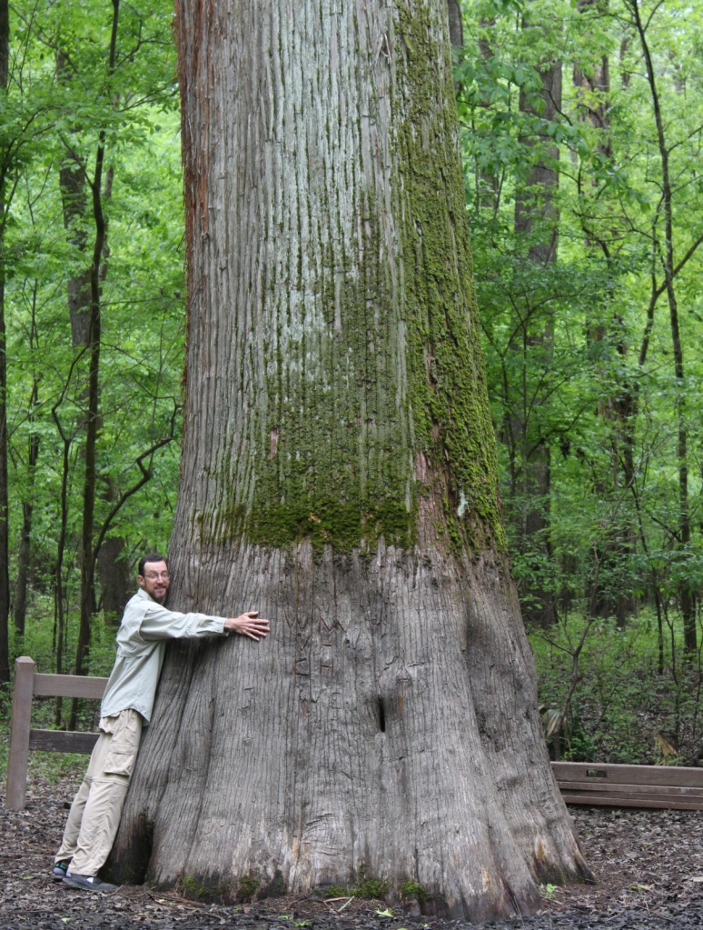
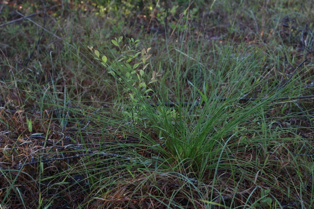
baldcypress, shortleaf pine, loblolly pine, longleaf pine
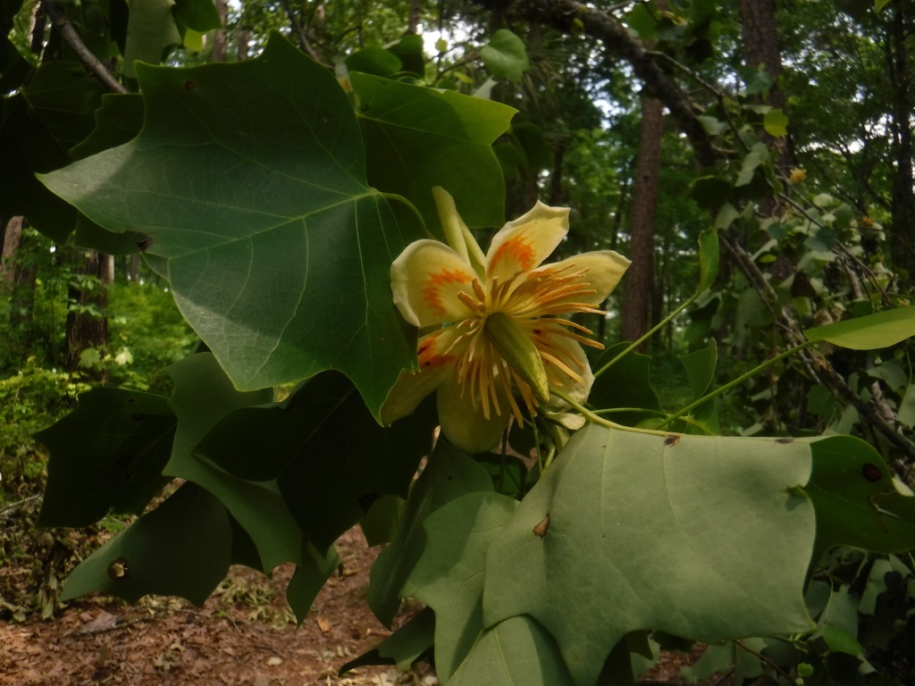
tulip-poplar, American beech, water oak, Nuttall oak, cherrybark oak, southern red oak, sweet bay, red maple, swamp red maple, horse sugar, chesnut oak, sweetgum, devil’s walkingstick, American holly, hophornbeam, southern magnolia, umbrella magnolia, tupelo gum, flowering dogwood
Explore More – The Homochitto River still carries its Choctaw name, which translates as what?

Learn more about this and the 154 other National Forests in our new guidebook Out in the Woods