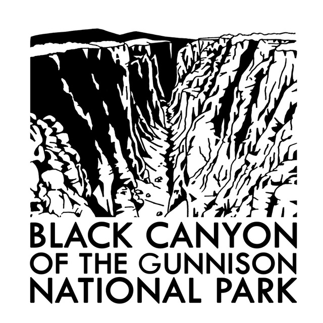
Black Canyon of the Gunnison National Park
Colorado
Managed by National Park Service
Established 1933 National Monument, 1999 National Park
30,750 acres
Website: nps.gov/blca
Overview
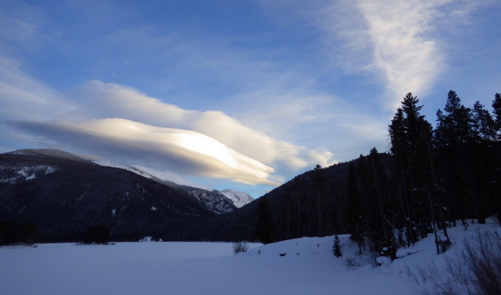
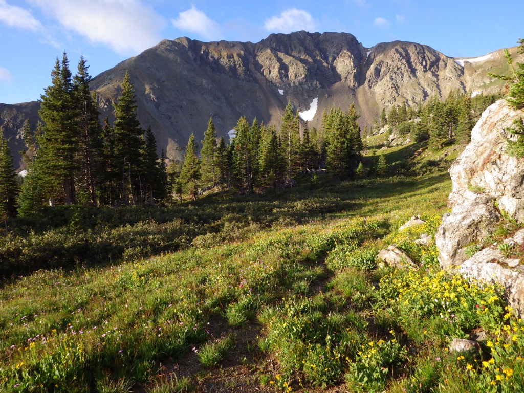
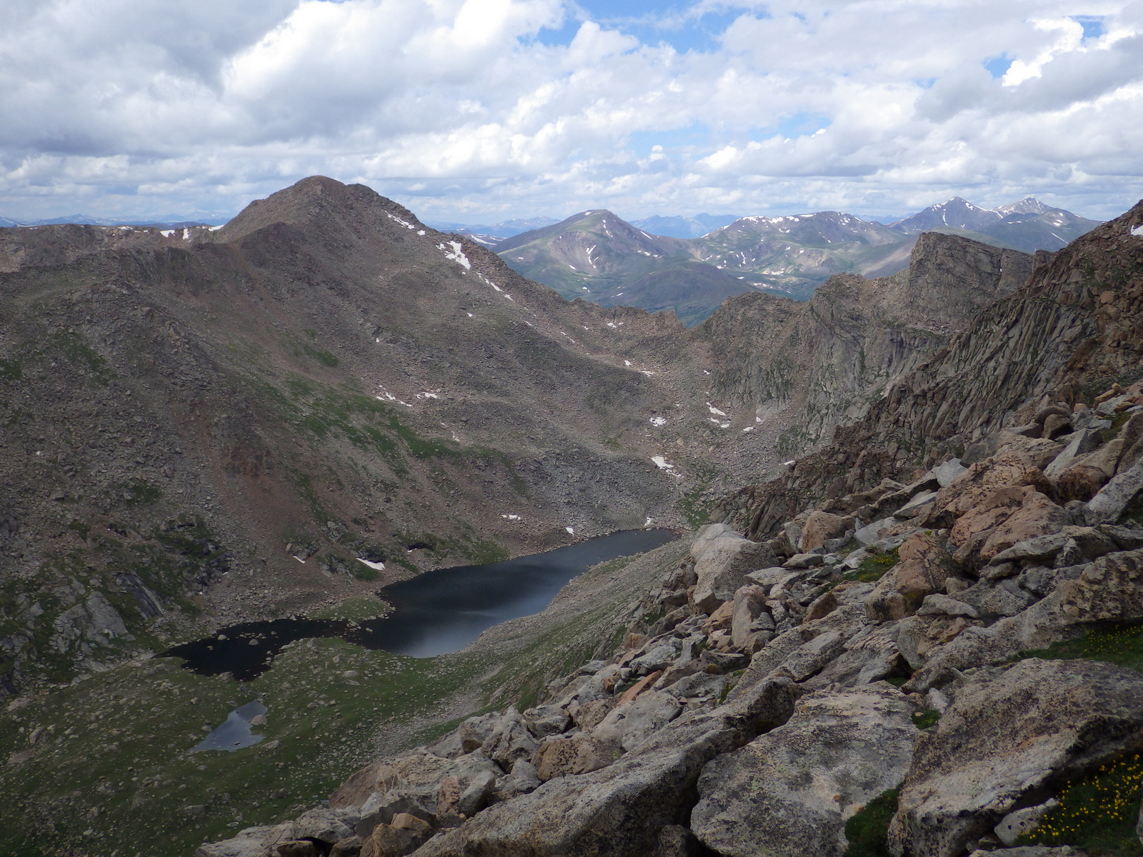
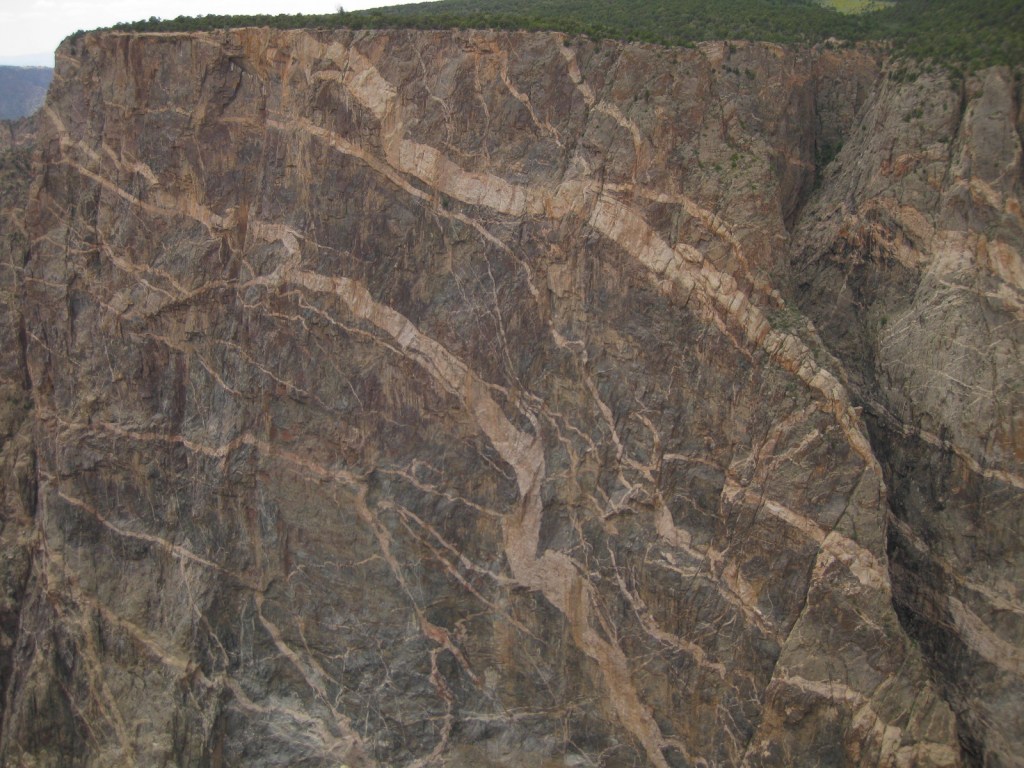
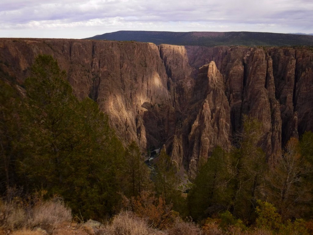
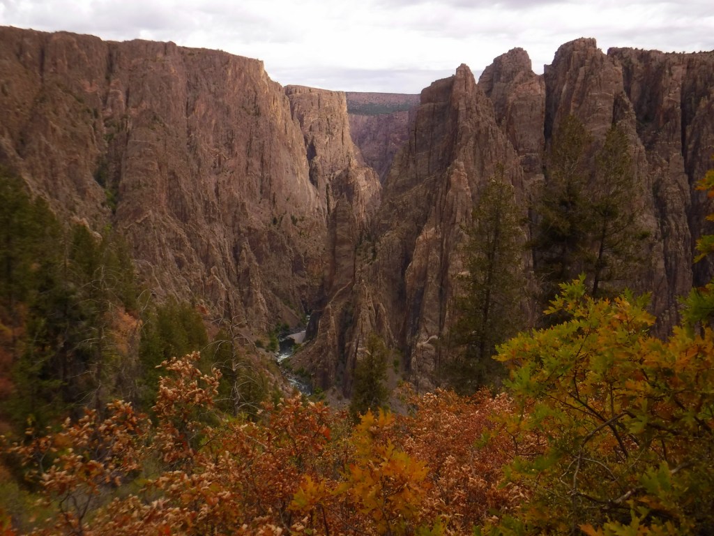
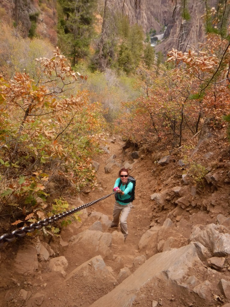
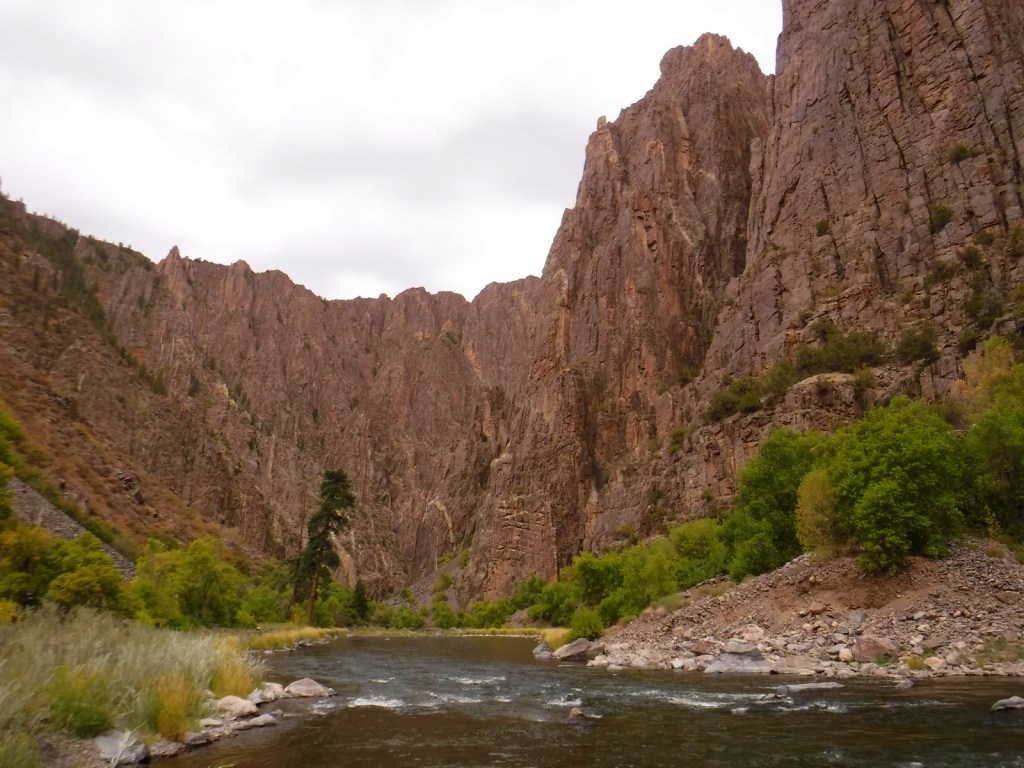
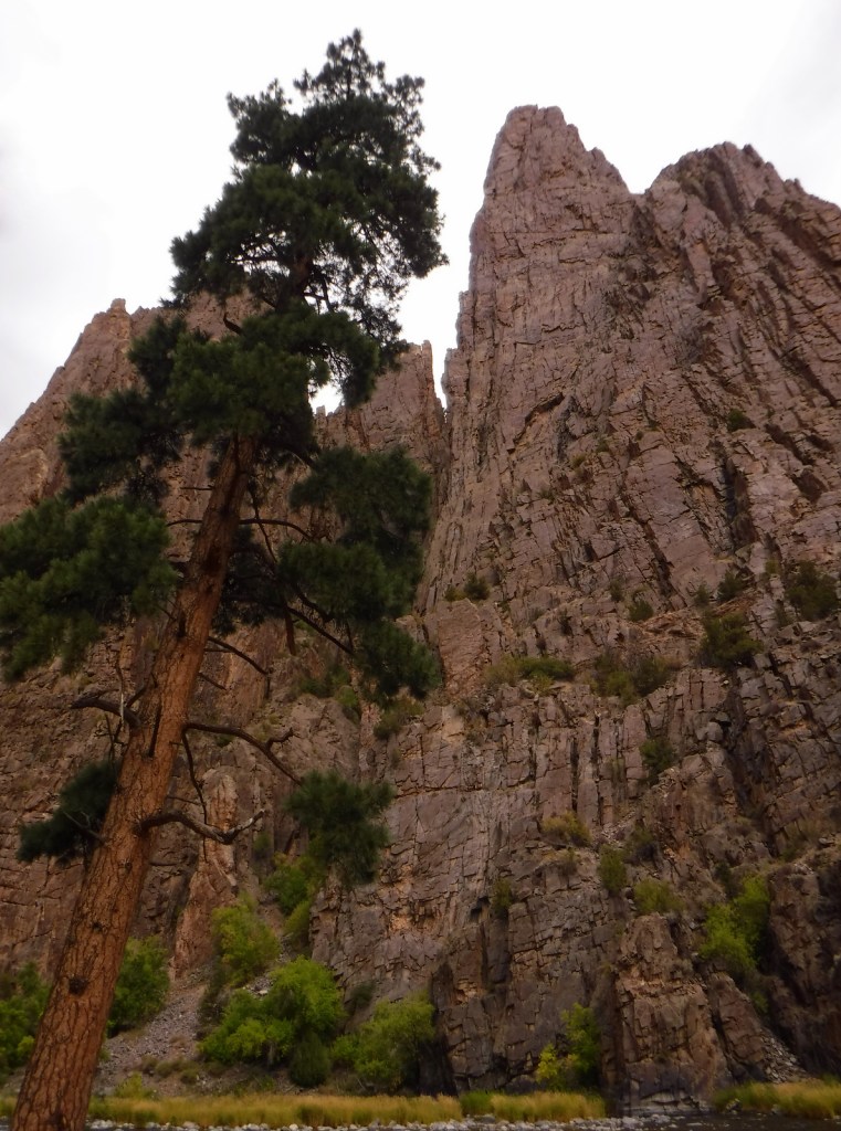
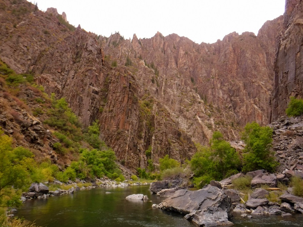
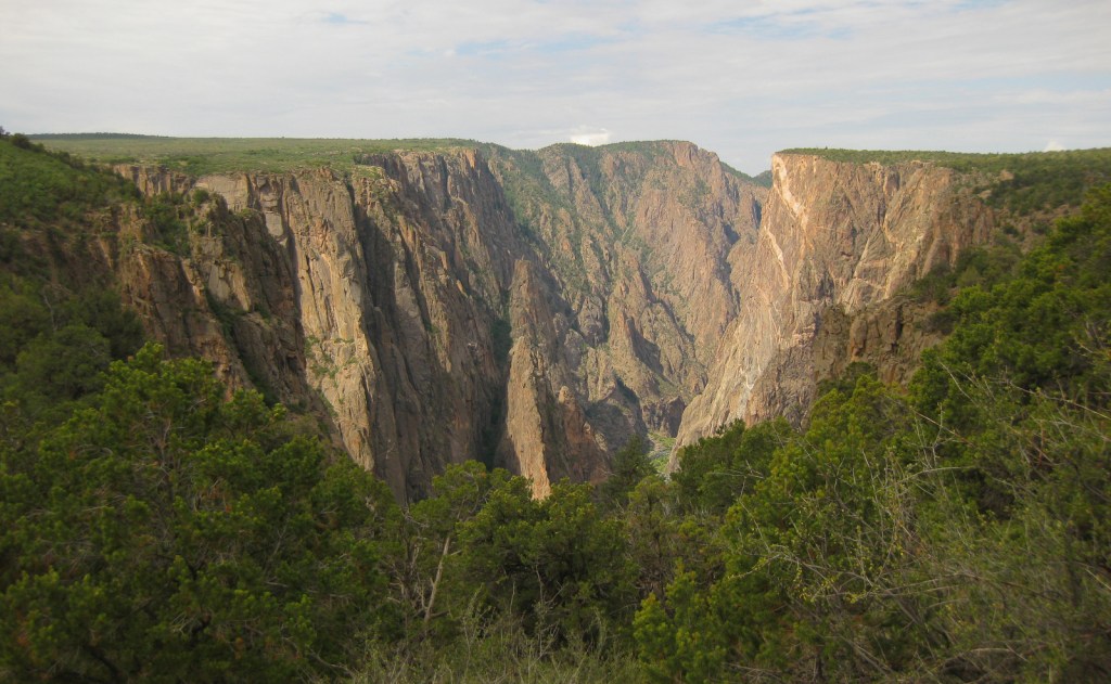
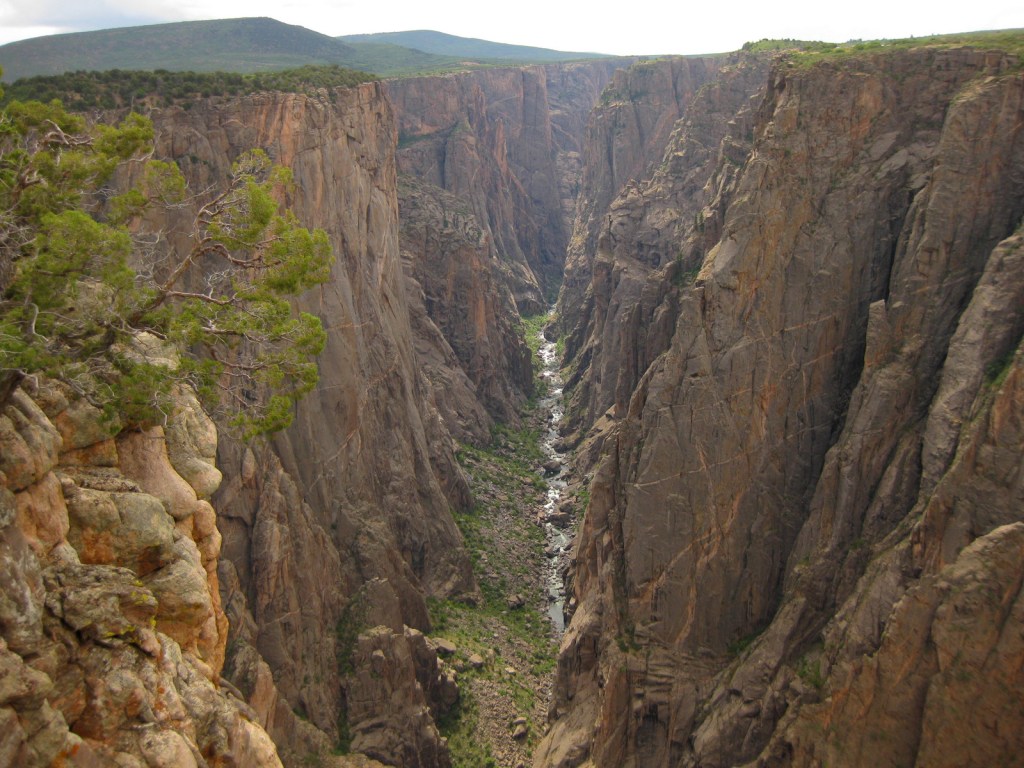
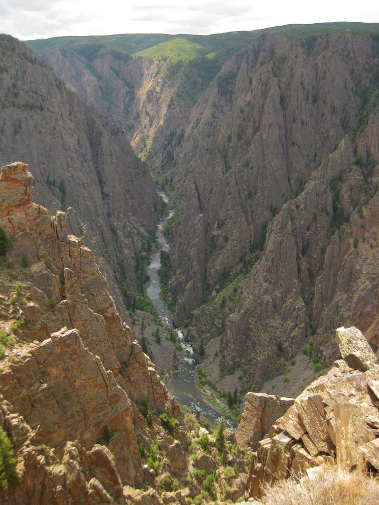
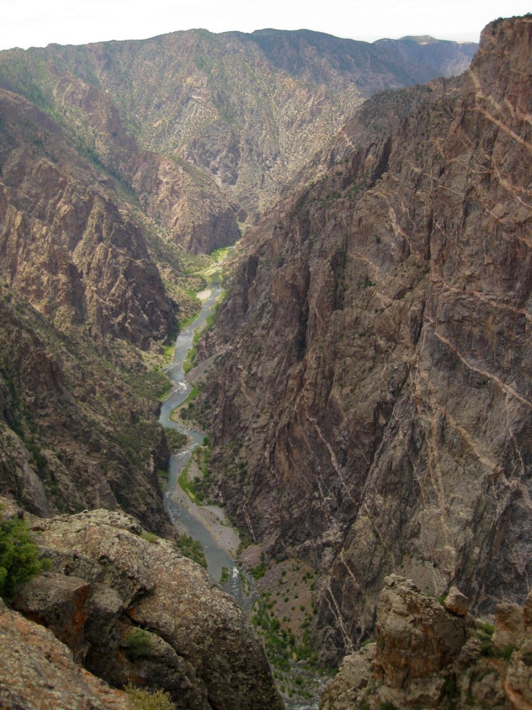
Located in a remote part of central Colorado, visiting Black Canyon of the Gunnison National Park will require hours of driving no matter where you are coming from, but to experience this phenomenal place is well worth the trip. The canyon is incredibly photogenic; its dark cliff faces of gneiss and schist are adorned with white stripes of pegmatite crystals. Although the canyon is less than a quarter-mile across at Chasm View, to get from one rim to the other is a three-hour drive. The best panoramas are found on the rims, but talk to a ranger if you wish to take an unmarked trek 2,000 feet down to the Gunnison River. Even the easiest Gunnison Route (free permit required) is a strenuous and steep effort on loose rock with fixed chains in many sections. It is also possible to drive to the bottom by driving the 16% grades to the end of paved East Portal Road in neighboring Curecanti National Recreation Area.
Learn more in the expanded 2nd edition of our guidebook to the National Parks— A Park to Yourself: Finding Solitude in America’s 63 National Parks.

Highlights
Pulpit Rock Overlook, Painted Wall View, Exclamation Point, Oak Flat Trail, Warner Point Nature Trail, Rim Rock Trail
Must-Do Activity
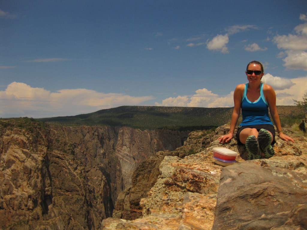
Do not miss the opportunity to picnic with an incredible canyon backdrop, just hold onto your food since the cliffs are always windy at spots like Sunset View. Swallows and swifts love to dart around on the thermals here and will get so close that you cannot help but duck as they zip by your head. Bring layers to wear, as it can be gusty and cold year round at around 8,000 feet in elevation.
Best Trail
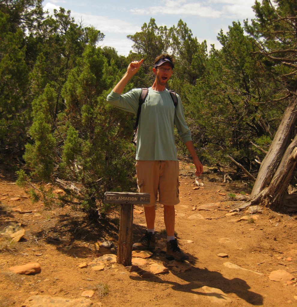
Most visitors to Black Canyon of the Gunnison National Park arrive on the south rim, but we recommend a first stop at the north rim when the dirt road is open in the summer. It is easy to drive right to an overlook for your first view of this geologic wonder, but we think it is better to hike up to one. This can be accomplished by hiking North Vista Trail three miles to Exclamation Point or Rim Rock Trail from the main campground.
Instagram-worthy Photo
One particular outline of white rock intrusion on the north wall is referred to as the Dragon. A short trail leads to the south rim overlook from the Dragon Point parking pullout.
Peak Season
Summer
Hours
https://www.nps.gov/blca/planyourvisit/hours.htm
Fees
$30 per vehicle or America the Beautiful Pass
Road Conditions
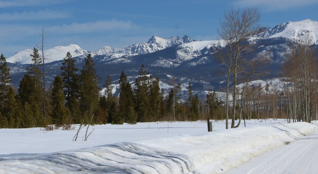
South Rim Road (paved) past the visitor center, East Portal Road (paved), and the dirt road to the north rim are all closed in the winter. Although less than a quarter-mile across at Chasm View, to get between the north and south rims, it is a minimum three-hour drive. Luckily, the eastern route takes you on scenic winding roads that overlook gorgeous Curecanti National Recreation Area. If you drive around the west side of the park instead, you will skirt 62,844-acre Gunnison Gorge National Conservation Area, a Wilderness area known for its whitewater rafting.
Camping
South Rim Campground (closed in winter) has 88 total sites and provides RV sites that can be reserved in advance. There is also primitive camping available on the north rim and at end of East Portal Road within Curecanti National Recreation Area.
Related Sites
Gunnison National Forest (Colorado)
Curecanti National Recreation Area (Colorado)
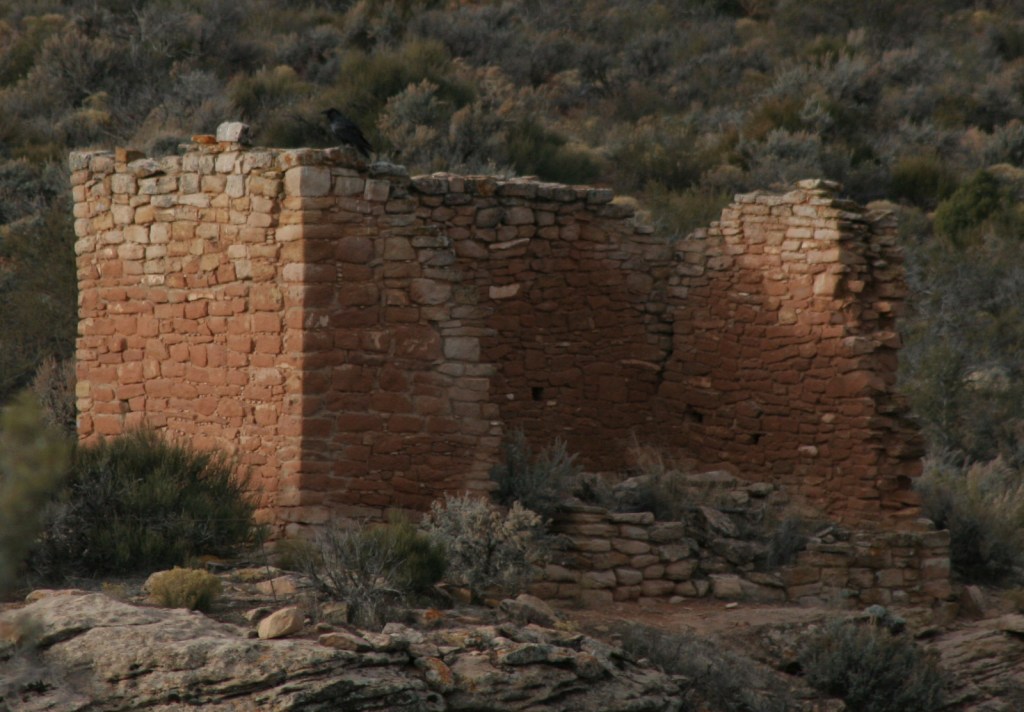
Mesa Verde National Park (Colorado)


Explore More – How high is the Painted Wall, which is the tallest cliff in Colorado?


We are a participant in the Amazon Services LLC Associates Program, an affiliate advertising program designed to provide a means for us to earn fees by linking to Amazon.com and affiliated sites.