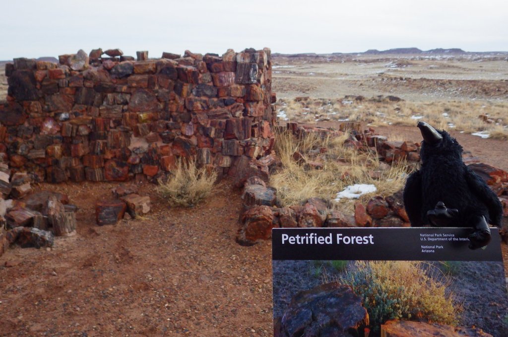
Petrified Forest National Park
Arizona
Managed by National Park Service
Established 1906 National Monument, 1962 National Park
221,390 acres
Website: nps.gov/pefo
Overview
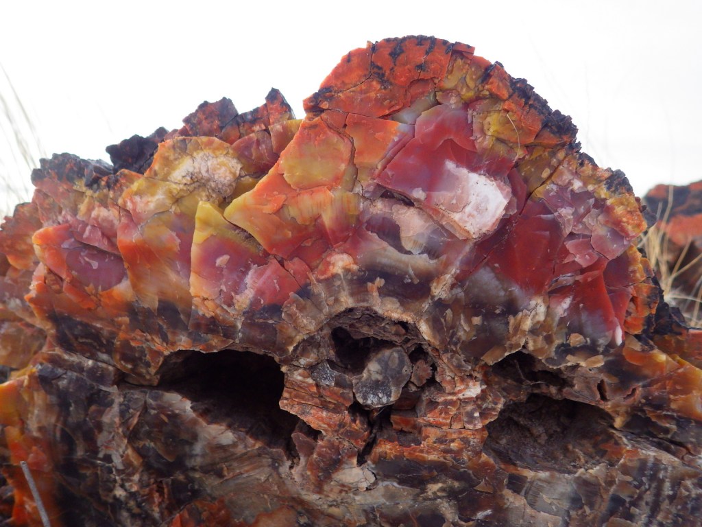
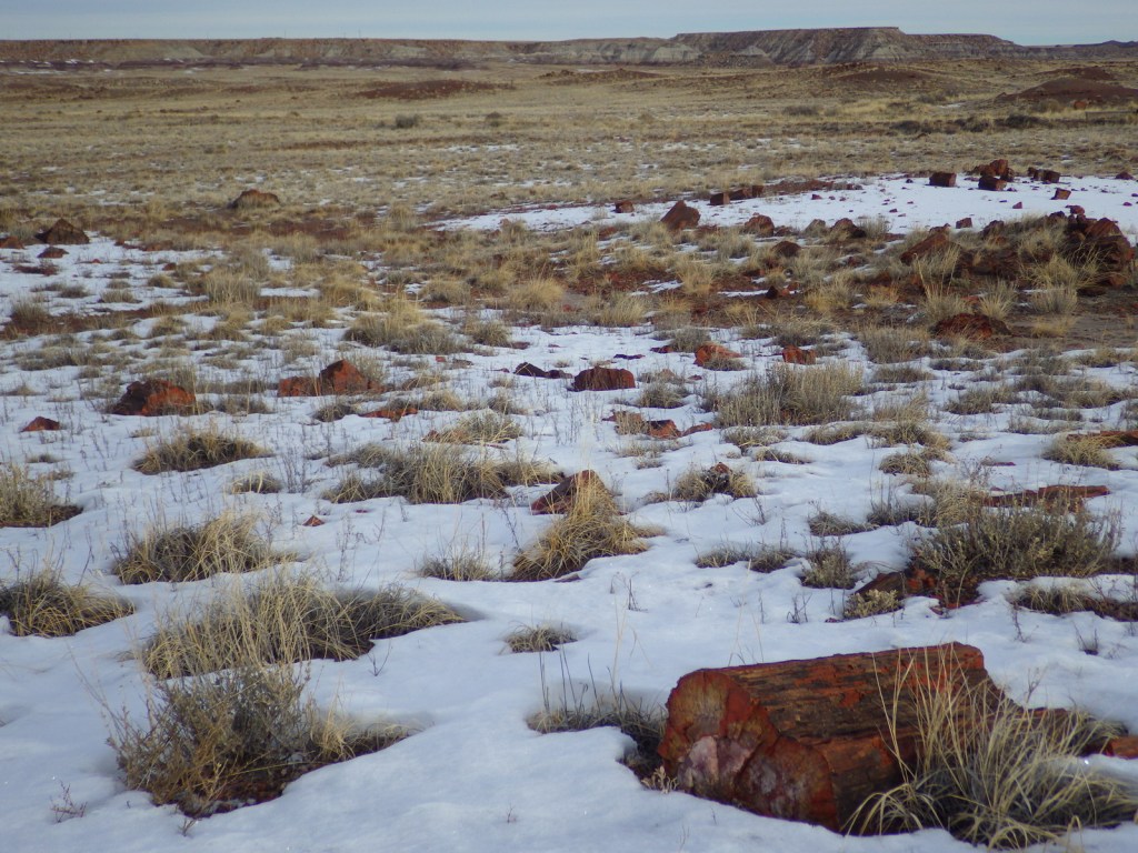
East of Flagstaff, Arizona on Interstate 40 (the historic Route 66) is Petrified Forest National Park, which started as one of the first National Monuments created by President Teddy Roosevelt. It is hard to believe in the dry expanses of the Painted Desert, but 225-million years ago this land existed in a tropical climate where trees grew to 200 feet in height. Some of those trees were buried in mud when they fell and over time silica crystalized in their decaying cells forming colorful rocks. You can still see annual growth rings and rays from the wood preserved on the cross-sections that look like they were cut by a chainsaw. The rocks are protected inside the park, so for a souvenir head to the gift shops around the park’s borders.
Learn more in our guidebook to the National Parks, A Park to Yourself: Finding Adventure in America’s National Parks (available on Amazon).
Highlights
Rainbow Forest Museum, Giant Logs Trail, Agate House, Newspaper Rock, Painted Desert Inn, Blue Mesa Trail
Must-Do Activity
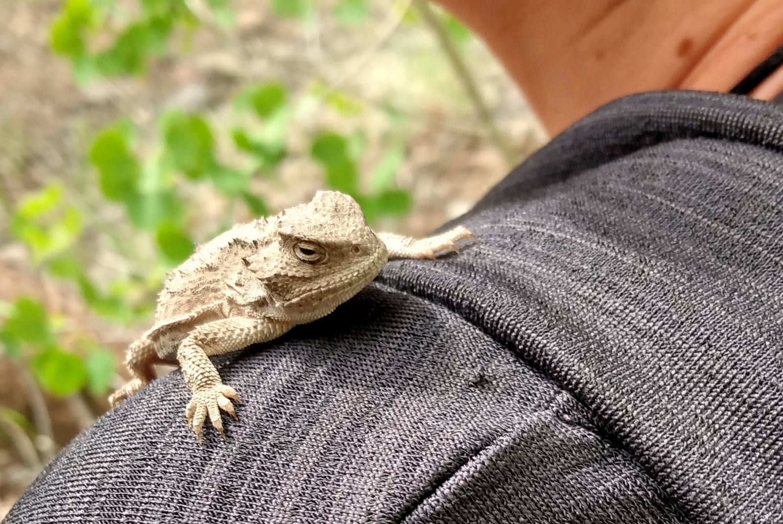
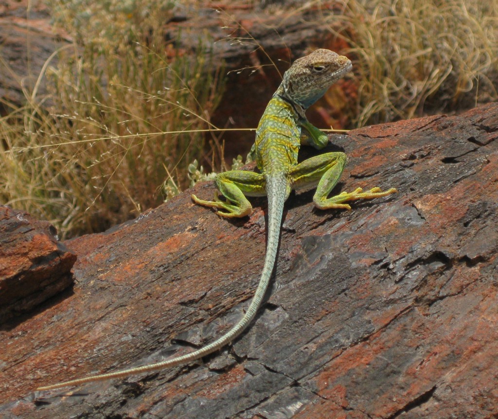
It is the kaleidoscope of colors that makes this park so beautiful and unique. The intricate weave of minerals in each bit of petrified wood is found in an array of colors: red, orange, yellow, green, purple, black, and white. A paved walkway behind the Rainbow Forest Museum is a great place to start, as rangers give guided tours there throughout the day. In the warm season, watch for the bright colors of a collared lizard hiding among the rocks. It is worth a hike to Agate House and a connection to the Giant Logs Trail to see more petrified wood, but be sure to bring water with you in the summer since there is no shade.
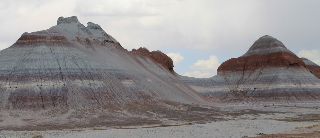
Best Trail
Blue Mesa Trail is only one mile in length, but you will stop so often for photos that it seems much longer. In this area the blueish bentonite badlands are striped by reduced iron and rust (as depicted in our logo illustration). The trail can be muddy if there has been recent precipitation.
Instagram-worthy Photo
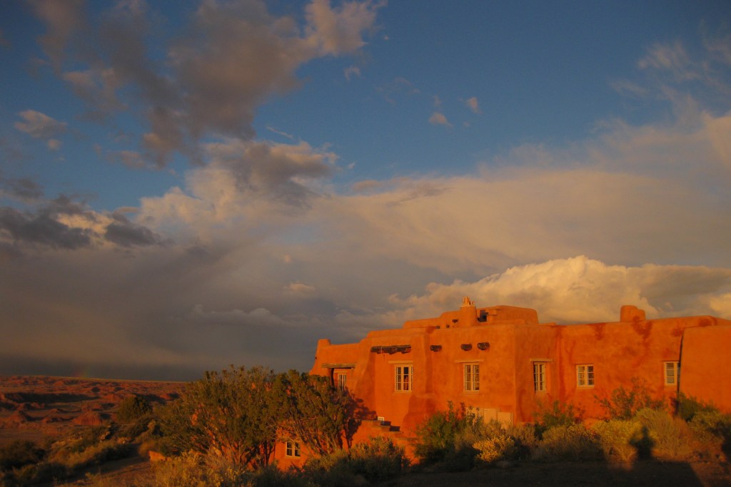
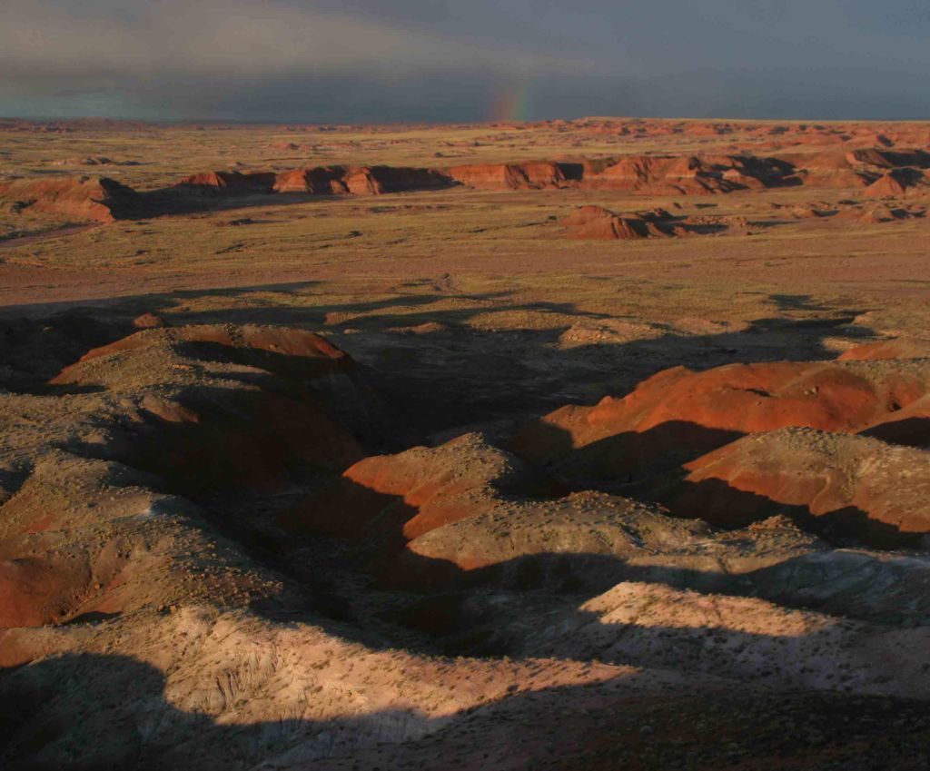
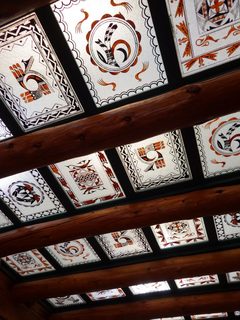
The Painted Desert often lives up to its name during the golden hours of sunrise and sunset when the pink adobe walls of the Painted Desert Inn can positively blaze. After summer thunderstorms, watch for rainbows that hang under the billowy cumulus clouds.
Peak Season
Spring and fall
Hours
https://www.nps.gov/pefo/planyourvisit/hours.htm
Fees
$25 per vehicle or America the Beautiful pass
Road Conditions
All roads in the park are paved and the 28-mile paved scenic drive is nice in either direction.
Camping
There are no overnight facilities within the park, but there are private campgrounds in both Holbrook and Winslow, Arizona. Lyman Lake State Park also offers camping. A free backcountry permit is required to camp in the Wilderness area north of the Painted Desert Inn. There are no trails and the only requirement is that you cross Lithodendron Wash about a mile from the rim, which sometimes means walking through shallow water.
Related Sites
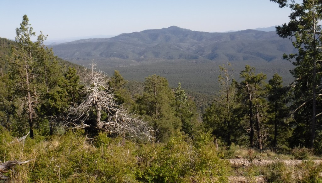
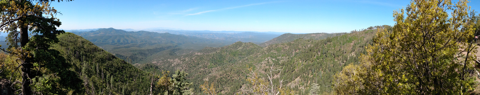
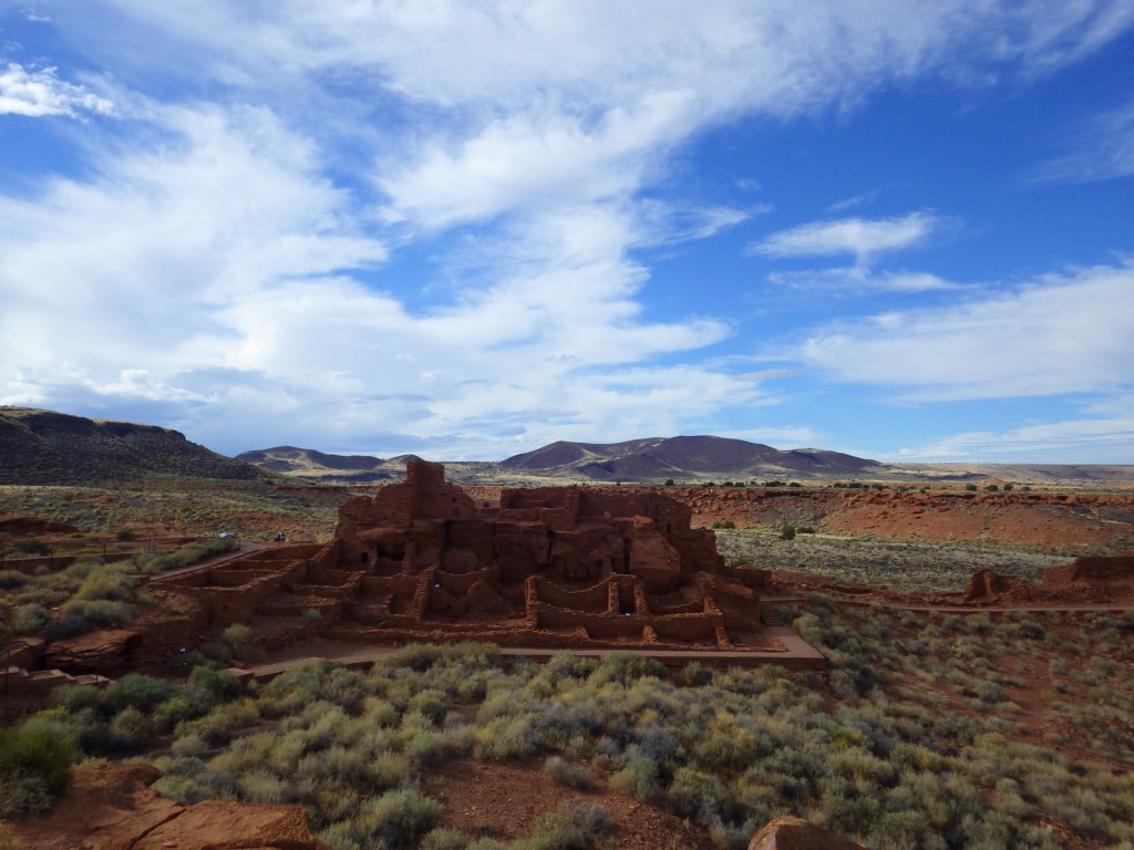
Coconino National Forest (Arizona)
Hubbell Trading Post National Historic Site (Arizona)
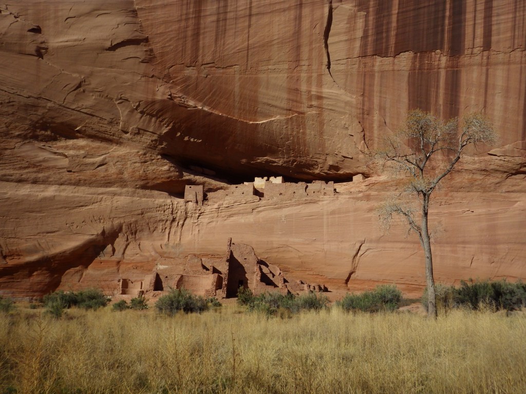
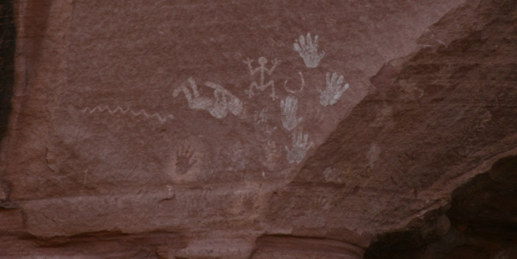
Canyon de Chelly National Monument (Arizona)


Explore More – How many pounds of rock are mailed back to Petrified Forest National Park every year by people who claim their theft led to a string of bad luck?


We are a participant in the Amazon Services LLC Associates Program, an affiliate advertising program designed to provide a means for us to earn fees by linking to Amazon.com and affiliated sites.