Overview
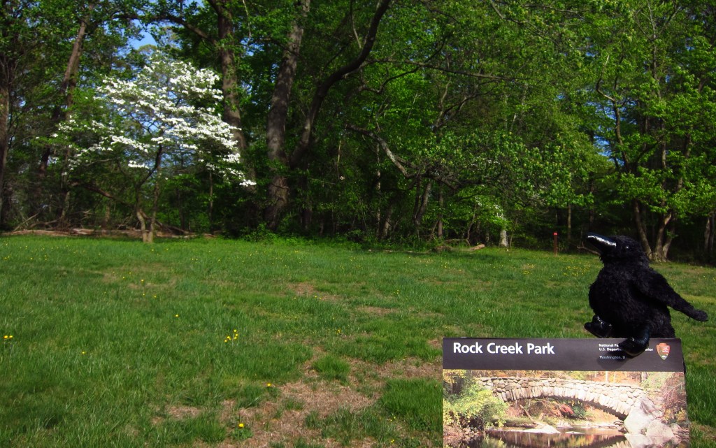
We are used to National Monuments and National Historical Parks being listed among the 419 units in the National Park Service (NPS) system, but there are also 11 sites that fall under the category of “Other.” One of these is Rock Creek Park, a 1,754-acre urban park in northwestern Washington, D.C. established in 1890. It contains an equestrian center and 13 miles of bridle trails, as well as the Thompson Boat Center, which rents bicycles and a variety of non-motorized boats. It also has the amenities you would typically associate with any park, like picnic areas, tennis courts, playgrounds, and an amphitheater offering free concerts and plays during the summer.
Highlights
Nature Center and Planetarium, Peirce Mill, Old Stone House, Fort Stevens
Must-Do Activity
Rock Creek Park contains the only planetarium in the entire NPS system, which is at the same location as the Nature Center. The planetarium offers free astronomy programs and holds monthly stargazing programs between April and November. The site of Civil War-era Fort Stevens is located east of the main park where interpretive information explains the July 1864 battle that took place there. It was during a visit to the fort that Abraham Lincoln became the only sitting president to ever come under enemy fire during wartime.
Best Trail
There are 25 miles of trails within Rock Creek Park, plus they connect to parkland in bordering Maryland.
Instagram-worthy Photo
Peirce Mill was originally in operation from the 1820s to 1897, utilizing slave labor (until the Civil War) to run the flour mill, sawmill, distillery, and nursery. The mill was renovated by the NPS in the 1930s to produce flour during World War II and remains open to visitors seasonally.

Peak Season
Summer
Hours
https://www.nps.gov/rocr/planyourvisit/hours.htm
Fees
None
Road Conditions
All roads are paved, though some are closed on weekends and holidays for non-motorized users.
Camping
None
Related Sites
Fort Washington Park (Maryland)
Theodore Roosevelt Island (District of Columbia)
Franklin Delano Roosevelt Memorial (District of Columbia)

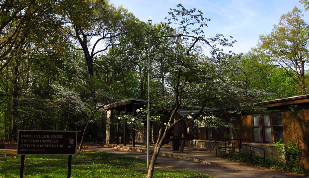
Nature Center and Planetarium 
Wondon inside the Nature Center 

Beech leaves 
Waterfall near Peirce Mill 
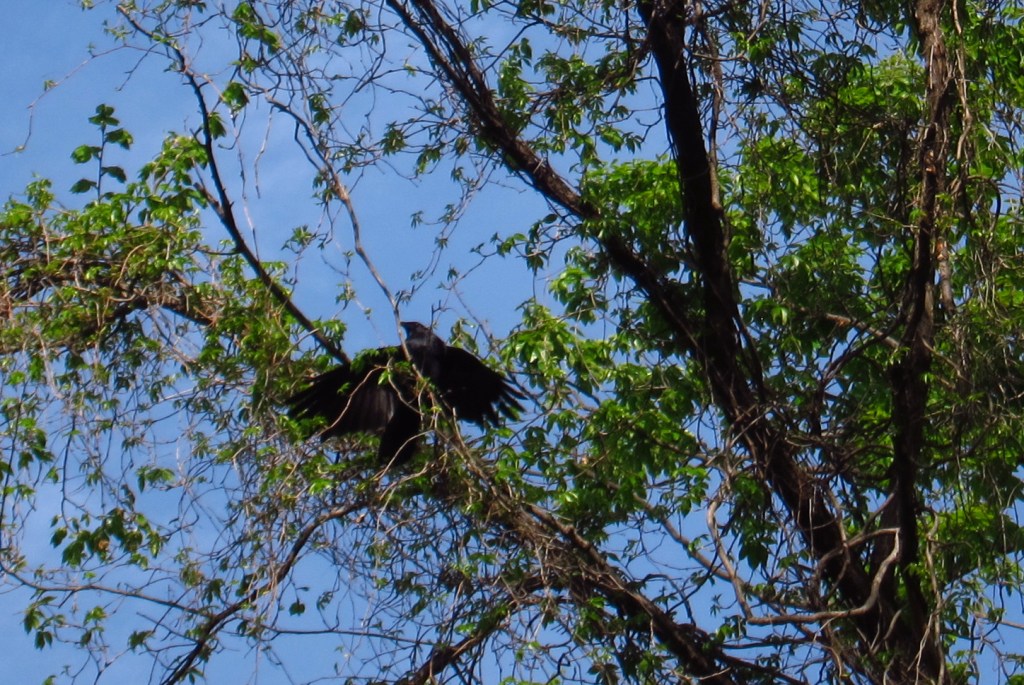
Crow about the park
Explore More – Rock Creek also flows through the fee-free National Zoological Park, which is managed by what institution?