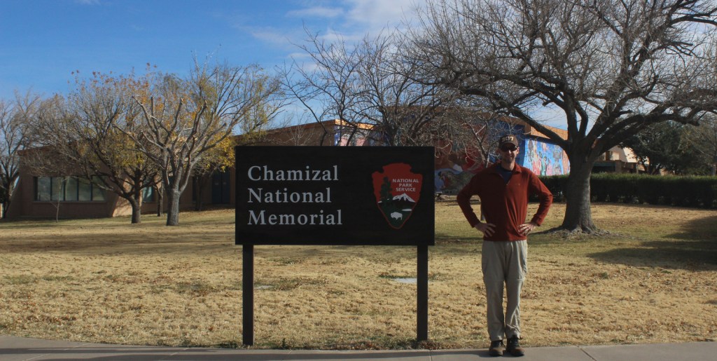
Chamizal National Memorial
Texas
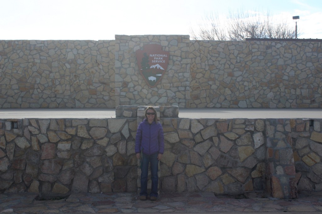
Managed by National Park Service
Established 1974
55 acres
Website: nps.gov/cham
Overview
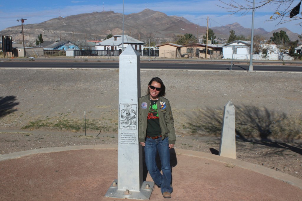
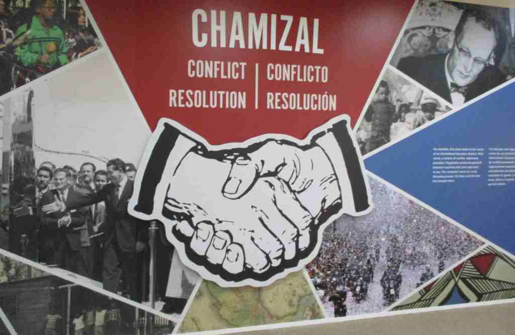
The Rio Grande forms the international border between the U.S. and Mexico for 1,248 miles, but in El Paso the river changed course suddenly in 1864 creating Cordova Island and leading to a 630-acre land dispute that lasted a century. An 1884 treaty agreed in principle that if the river changed course slowly by erosion, then the boundary moved with the deepest channel, but a commission investigating it a decade later found that Americans were settling land owned by Mexico. The issue remained contentious, with a 1909 meeting between Presidents Taft and Diaz almost resulted in the assassination of them both. Finally, a 1963 settlement involved displacing 5,600 Americans, as well as moving a railroad, school, bridge, and the river channel itself. Chamizal National Memorial was authorized by Congress three years later to celebrate the goodwill inherent to this treaty with a history museum, as well as three art galleries and a 500-seat indoor theater.
Highlights
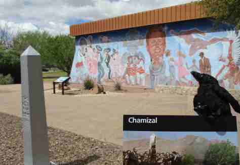
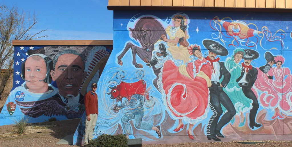
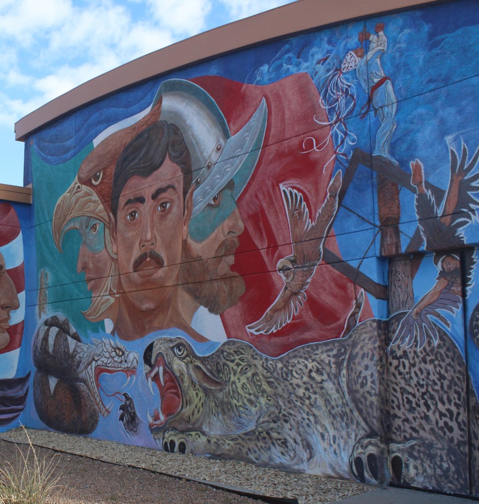
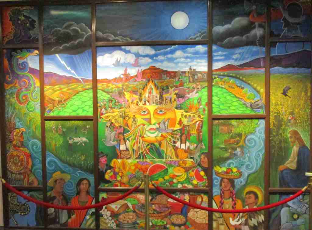
Museum, film, Franklin G. Smith Gallery, Benito Juarez sculpture, Nuestra Herencia mural
Must-Do Activity
There is a film shown in the visitor center, in addition to the museum about the treaty and exhibits in the art galleries that change every few months. Summer concerts take place in the outdoor amphitheater and the Chamizal Festival is held the first weekend in October featuring music, crafts, dance, and visual arts. The park annually holds a Siglo de Oro Drama Festival in the spring, when acting troupes performed plays from the golden age of Spanish theater, including those by Lope de Vega. In September 2025, the first Chihuahuan Desert Festival was held throughout the city of El Paso. Check the National Park Service website or Facebook page for events throughout the year.
Best Trail
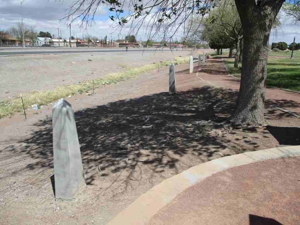
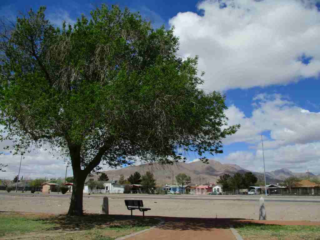
There are walking trails around the 55-acre property that pass some of the historic boundary markers along East Paisano Drive.
Photographic Opportunity
Nuestra Herencia is a very colorful mural painted on the outside of the visitor center.

Peak Season
Spring and fall
Hours
https://nps.gov/cham/planyourvisit/hours.htm
Fees
None
Road Conditions
Access roads are paved, but be careful how you get there because it is very close to a border crossing station and you do not want to accidentally wind up in Ciudad Juarez, Mexico.
Camping
There are private campgrounds in El Paso, or visit Franklin Mountains State Park for camping, hiking, mountain biking, and rock climbing opportunities. Encompassing 24,248 acres, this is one of the largest urban parks in the country lying completely within city limits.
Related Sites
Amistad National Recreation Area (Texas)
Big Bend National Park (Texas)
Fort Davis National Historic Site (Texas)
Guadalupe Mountains National Park (Texas)
Nearest National Park


Explore More – What does “chamizal” mean in Spanish?