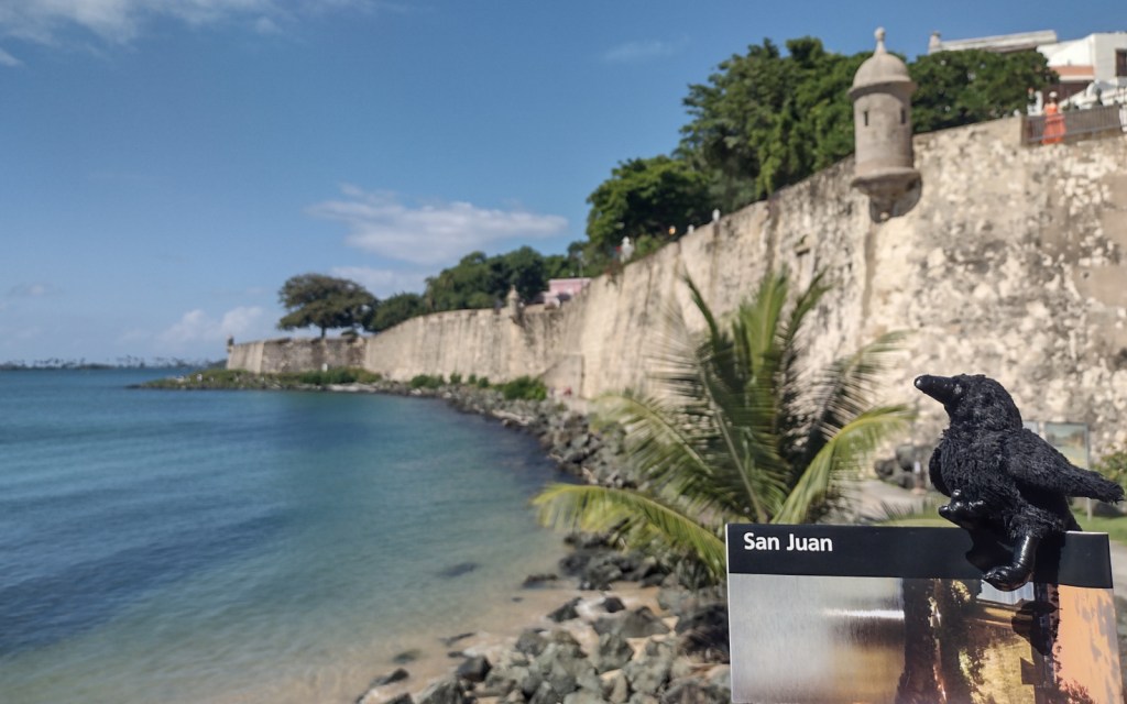
San Juan National Historic Site
Puerto Rico
Managed by National Park Service
Established 1949
75 acres
Website: nps.gov/saju
Overview
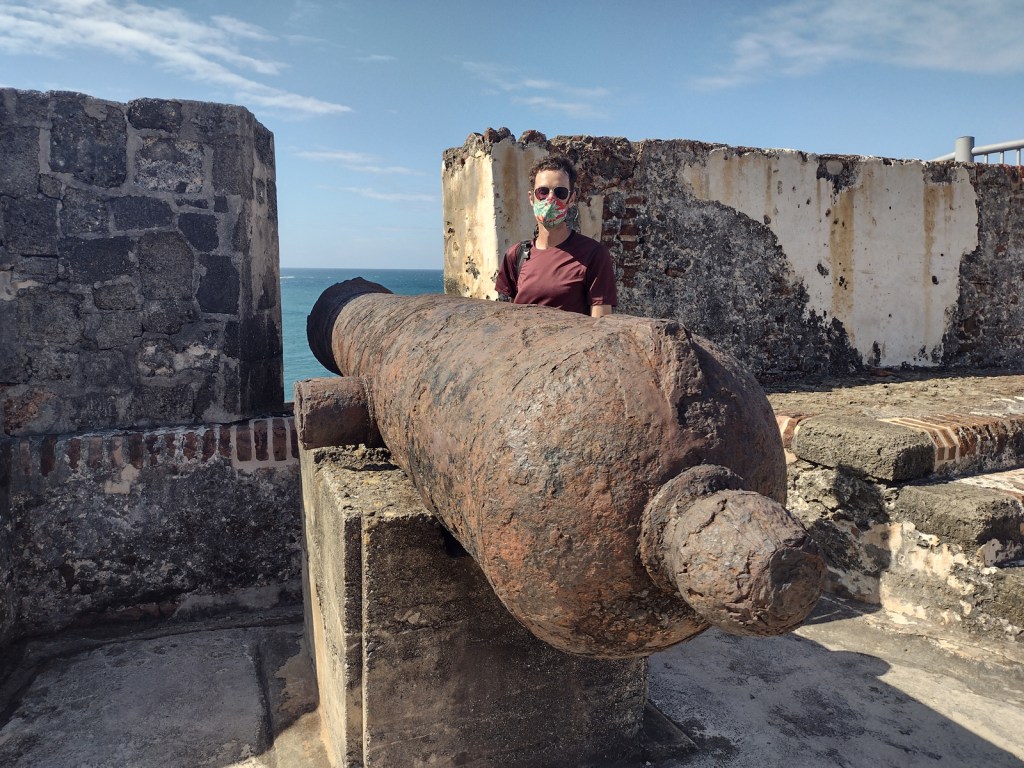
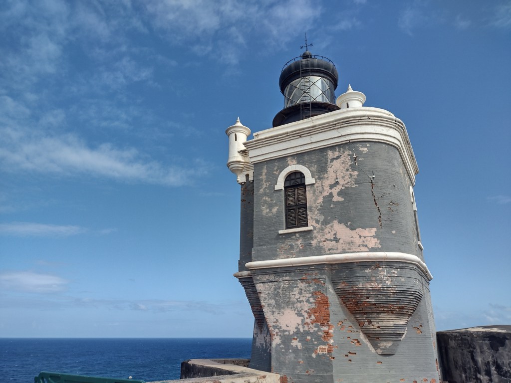
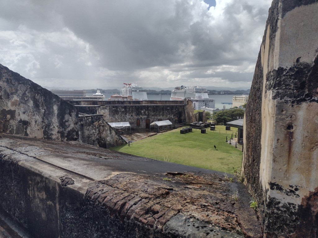
San Juan, Puerto Rico was established in 1509 as a military outpost by Spanish conquistador Juan Ponce de León and 30 years later construction began on the Castillo San Felipe del Morro to guard San Juan Bay. Starting in 1634, Castillo San Cristóbal was added to the east, eventually becoming the largest fortification built by Europeans in the Americas (covering 27 acres). The city was captured by the English in 1598, but quickly abandoned due to disease and lack of provisions. U.S. warships destroyed the fort’s lighthouse during the 1898 Spanish-American War, after which the U.S. seized Puerto Rico and Guam, gained protection over Cuba, and bought the Philippines. The U.S. military turned over the San Juan forts to the National Park Service in 1961, and 22 years later they were declared a UNESCO World Heritage Site.
Highlights
Castillo San Felipe del Morro (El Morro), Castillo San Cristóbal, Paseo del Morro
Must-Do Activity
It does not matter which fort you start with, but both are unique and worth exploring with plenty of interpretive signs found throughout. It is about a one-mile walk between the two forts on a sidewalk that follows the wall and bastions protecting the north side of Old San Juan (and providing a great overlook of the Cementerio Maria Magdalena de Pazzis). Most visitors arrive by cruise ship, so drivers are very aware of pedestrians, and the whole area has sidewalks and crosswalks.
Best Trail
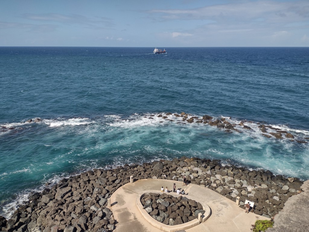
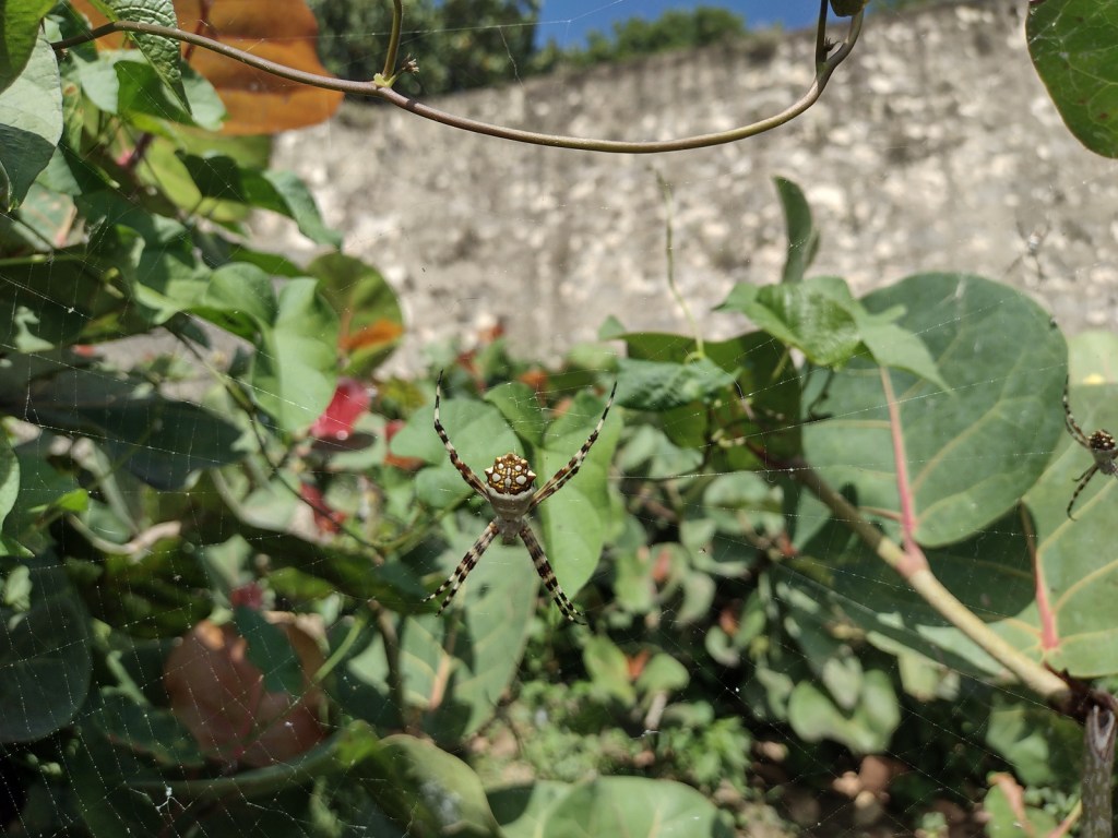
The Paseo del Morro follows the shoreline outside the walls surrounding the western edge of Old San Juan, only accessible from Castillo San Felipe del Morro or further south through the San Juan Gate. Watch for friendly feral cats, huge orb-weaver spiders, and anole lizards along the paved route.
Instagram-worthy Photo
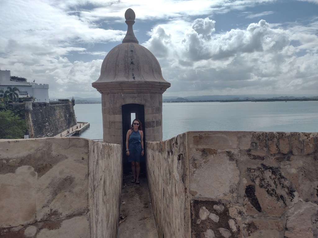
The forts’ sentry boxes (garitas) are the symbol of Old San Juan and all of Puerto Rico, which is why they were featured on the U.S. quarter-dollar coin chosen for the territory in 2009. It is also the reason we added this park to the list of Top 10 National Park Service License Plates.
Peak Season
Year round
Hours
https://www.nps.gov/saju/planyourvisit/hours.htm
Fees
$10 per person or America the Beautiful pass
Road Conditions
Street parking is always full around the forts, but there is a parking deck with reasonable hourly rates. The free White Trolley runs between the two forts and the cruise ship piers.
Camping
There are no campgrounds in San Juan, but plenty of other accommodations. Camping on the island of Puerto Rico is permitted at Bosque Estatal de Cambalache, Bosque Estatal de Río Abajo, and Reserva Forestal de Carite.
Related Sites
Castillo de San Marcos National Monument (Florida)
Christiansted National Historic Site (U.S. Virgin Islands)
El Yunque National Forest (Puerto Rico)


Explore More – Who was the Irish-born engineer who designed Castillo San Cristóbal, because Spain and Ireland were both enemies of England?