Overview
Sitka National Historical Park offers a good introduction to the Russian and native influences on this region, as well as a forested trail past beautifully carved totem poles. Created in 1910, it was the first National Park Service (NPS) site in Alaska, nearly 50 years before statehood.

Highlights
1843 Russian Bishop’s House, Russian Orthodox cathedral, totem poles
Must-Do Activity
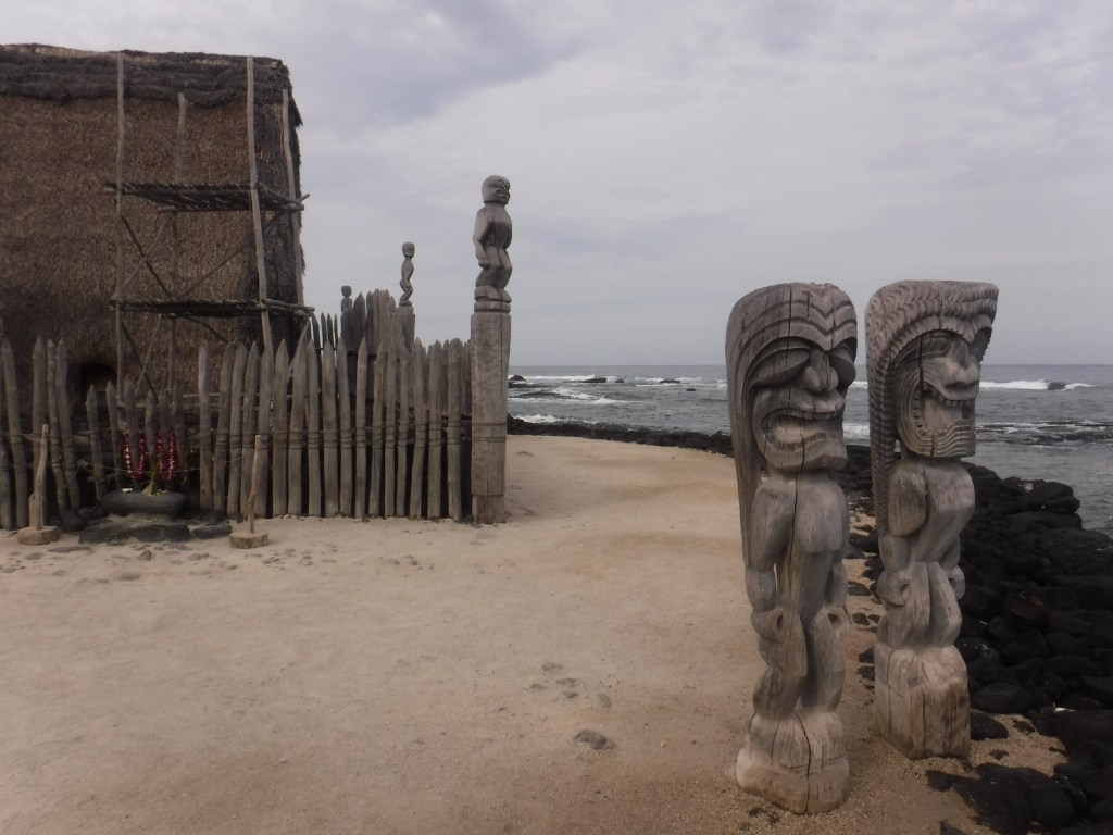
Two miles of trails wind through the spruce forest passing more than a dozen totem poles and the site of Kiks.ádi Fort where the 1804 battle took place between Russian fur traders and the native Tlingit community. To further experience the Tlingit culture, attend a traditional dance at Shee’tka Kwaan Naa Kahidi Community House.
Best Trail
The adventurous can summit 3,354 foot Mount Verstovia for unsurpassed views of the harbor and the mountainous heart of Baranof Island. This steep route takes all day, starting with numerous switchbacks before the trail disappears and scrambling over rocks to the top. Also scenic, Indian River Trail is a flatter alternative.
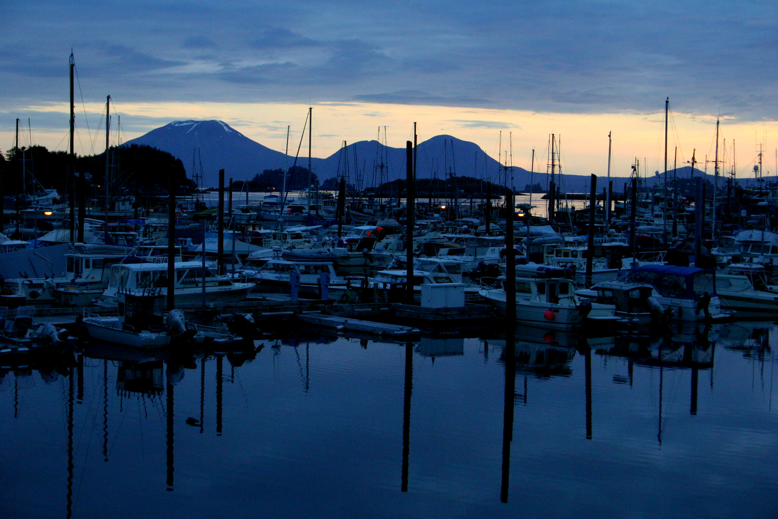
Instagram-worthy Photo
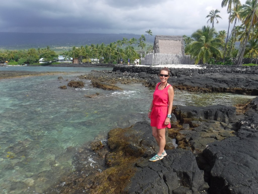
Jagged peaks and tiny forested islands make Sitka the most beautiful spot in Southeast Alaska. Bald eagles abound in trees around the town’s quiet boat docks, while the volcanic cone of Mount Edgecumbe sits zen-like off to the west.
Peak Season
Summer
Hours
https://www.nps.gov/sitk/planyourvisit/hours.htm
Fees
None
Road Conditions
There are no roads to Sitka, so you have to take an airplane, cruise ship, or ferry. The main road on Baranof Island is paved and it is less than a mile walk to access the NPS visitor center from downtown.
Camping
Campsites are available at Blue Lake down a dirt road east of town in Tongass National Forest or at Old Sitka State Historic Park near the ferry terminal.

View of Sitka from Mt. Verstovia 
Walking the park’s handicap accessible trails 
Tiff next to a totem pole with a raven at the base 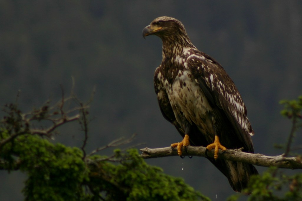
Juvenile bald eagle 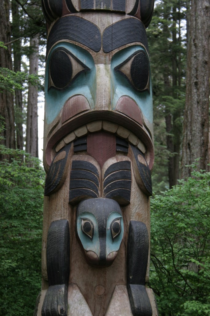

St. Michael’s Cathedral 
Shee’tka Kwaan Naa Kahidi Community House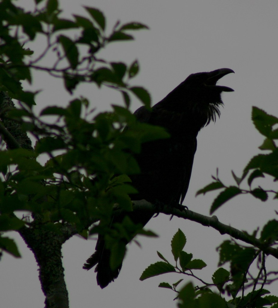
Raven calling
Explore More – When did the official transfer of Alaska from Russia to the U.S.A. take place on Castle Hill in Sitka (then known as New Archangel)?