
Butte Valley National Grassland
California
Managed by U.S. Forest Service, Pacific Southwest Region
19,705 acres
Website: https://www.fs.usda.gov/detail/klamath/about-forest/?cid=FSEPRD494406
Overview
The flat, sandy soils of this former lakebed attracted homesteaders to plow fields and graze livestock, but following droughts in the 1930s it was largely abandoned. Under the Bankhead-Jones Farm Tennant Act of 1937, these lands were purchased by the federal government and used as a practice bombing range during World War II. Later, the Soil Conservation Service administered the area and planted more than 4,000 acres of crested wheatgrass. In 1954, management was reassigned to Klamath National Forest who tried in vain to sell the Butte Valley Land Use Project (LUP) until it was named the newest National Grassland in July 1991.

Highlights
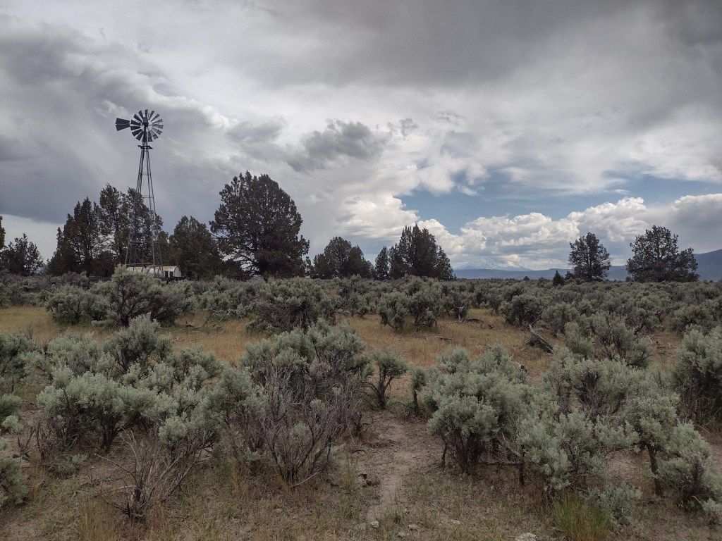
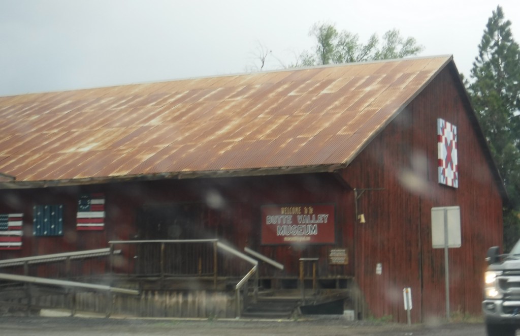
Windmill, Butte Valley Museum
Must-Do Activity
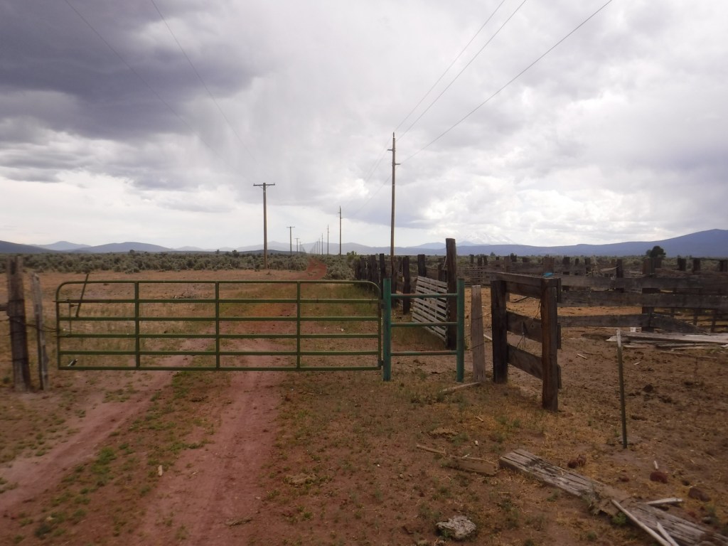
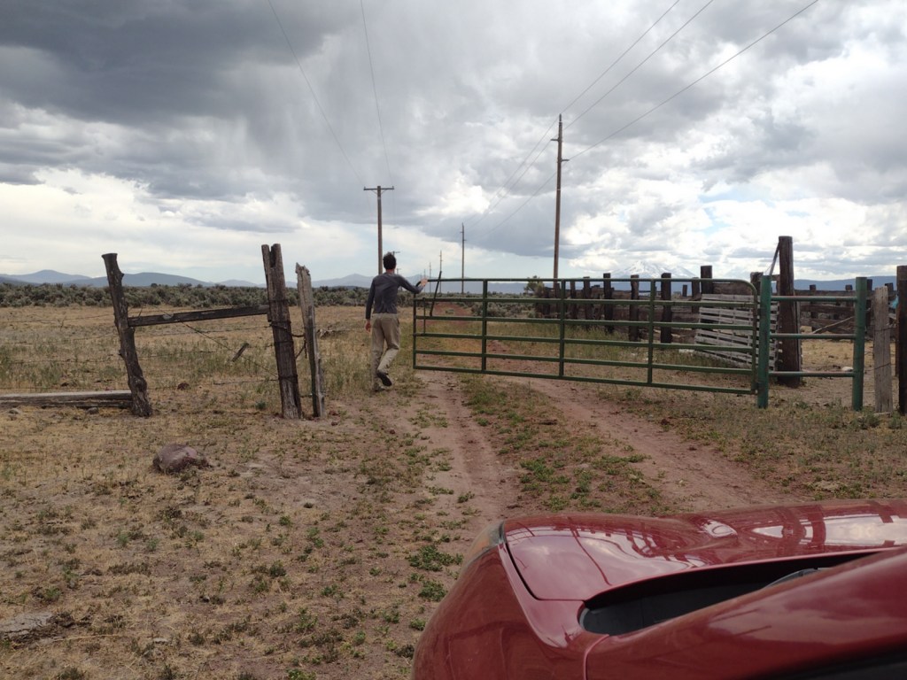
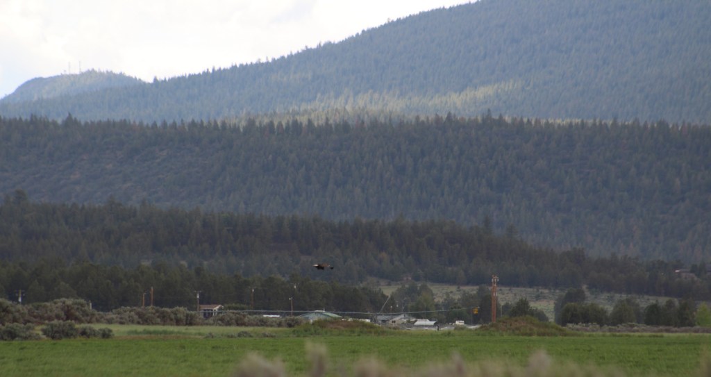
Located in the dry northeast corner of California, Butte Valley National Grassland is dominated by sagebrush, rabbitbrush, bitterbrush, basin wildrye, and intermediate wheatgrass, with western juniper being the only tree species. Local ranchers graze cattle here under permit with the U.S. Forest Service, so be sure to close all gates behind you as you drive around. The recommended driving loop is to take Highway 97 to Meiss Lake Sam’s Neck Road for 4.9 miles to Indian Point Road, which has low rock bluffs and a fenced-off windmill along its 4.6-mile length. Richardson Road will take you 5.2 miles back to Highway 97, just south of the town of Dorris where you can visit the Butte Valley Museum.
Best Trail
There are no defined trails, but you could walk cross-country through the sagebrush or on the dirt roads.
Watchable Wildlife
Large mammals found in Butte Valley National Grassland include bobcats, coyotes, porcupines, jackrabbits, mule deer, Roosevelt elk, pronghorns, and possibly some reintroduced bighorn sheep. Reptiles include Pacific gopher snakes, western rattlesnakes, California red-sided garter snakes, pygmy horned lizards, and western fence lizards. We saw several large birds on our visit: a California quail, golden eagle, northern harrier, magpie, and common ravens. A 35-year study of Swainson’s hawks has been conducted here as they nest in the western juniper trees. Other bird species of interest include the sandhill crane, red-tailed hawk, ferruginous hawk, rough-legged hawk, prairie falcon, American kestrel, merlin, bald eagle, great horned owl, short-eared owl, and long-eared owl. The adjacent 11,520-acre Butte Valley Wildlife Area encompasses Meiss Lake, a remnant of a much larger lake that still serves as an important site for migratory waterfowl.
Photographic Opportunity
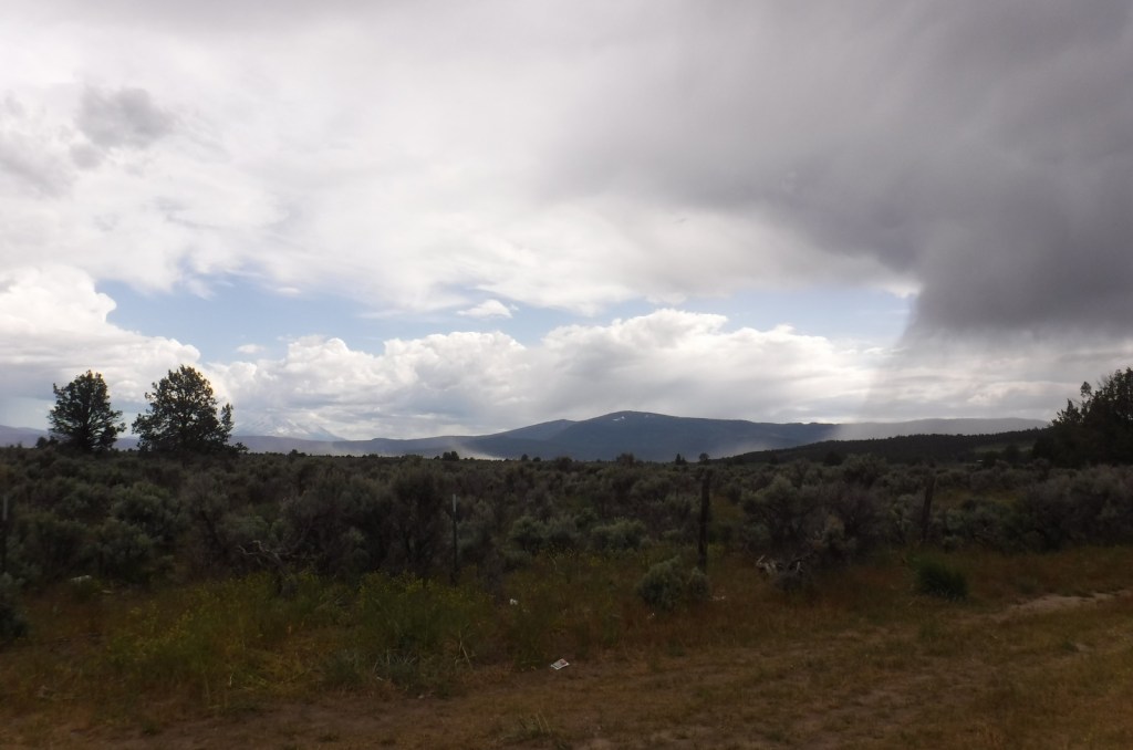
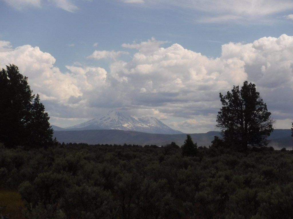
The eastern face of glacier-covered Mt. Shasta is visible from the National Grassland on clear days.

Peak Season
Summer
Fees
None
Road Conditions
Highway 97 and Meiss Lake Sam’s Neck Road are paved. We found Richardson Road to be somewhat rutted, but unpaved Indian Point Road was in good shape. We drove an unnamed two-track road through the center of the National Grassland with a passenger car, although we would recommend a high-clearance vehicle.
Camping
You can probably disperse camp in the National Grassland without a problem, or drive into Klamath National Forest for its campgrounds at Juanita Lake, Martins Dairy, Shafter, and Orr Lake.
Related Sites
Klamath National Forest (California-Oregon)
Tule Lake National Monument (California)
Lava Beds National Monument (California)
Nearest National Park


Explore More –According to archeological records, how many thousands of years have the Modoc Tribe and their ancestors been in this area?
