Overview
In 1976, Platt National Park was combined with the nearby reservoir at Arbuckle National Recreation Area to form Chickasaw National Recreation Area, named for the neighboring Chickasaw Nation of central Oklahoma. The trails and infrastructure in the park were predominantly built in the 1930s by the Civilian Conservation Corps (CCC).
Highlights
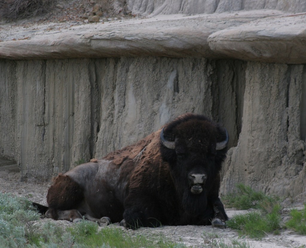
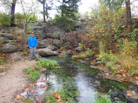
Natural springs, bison herd, Lincoln Bridge, reservoir
Must-Do Activity
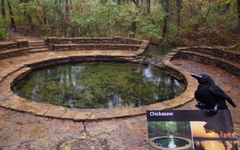
Visitors should start at the Travertine Nature Center, then visit the bison pasture and “take the waters” at Vendome Well. Other diverse recreational opportunities include camping and water sports on the Lake of the Arbuckles.
Best Trail
Take the trail from the Travertine Nature Center to Antelope Springs and photogenic Buffalo Springs. There is also loop trail around the bison pasture.
Instagram-worthy Photo
The U.S. Mint quarter (see photo below) for Oklahoma depicts the Lincoln Bridge built by the CCC, but it can be difficult to photograph through the trees.

Peak Season
Summer
Hours
https://www.nps.gov/chic/planyourvisit/hours.htm
Fees
None
Road Conditions
All roads paved, except in Bluestem Prairie.
Camping
Multiple campgrounds, including several on the shores of the Lake of the Arbuckles.


Explore More – What was the original name for this federally protected area in 1902?