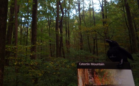
Overview
This park was purchased in 1935 during the Great Depression as part of a demonstration program to rehabilitate poor agricultural land under the Works Progress Administration (WPA) and Civilian Conservation Corps (CCC). They worked on a visitor center, campground, rental cabins, and 25 miles of trails now run by the National Park Service.
Highlights
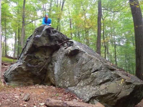
Chimney Rock, Blue Blazes Whiskey Still, hiking, camping
Must-Do Activity
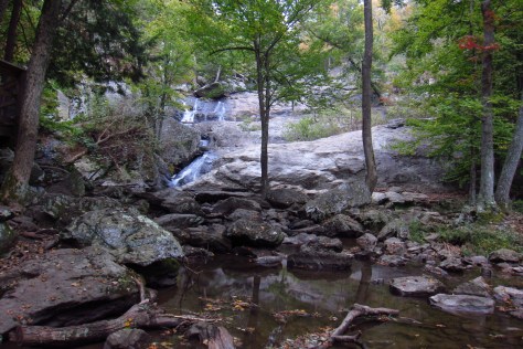
Hiking. Also consider a stop just south of Highway 77 at Cunningham Falls State Park (entrance fee) on your visit to Maryland’s mountains.
Best Trail
A loop hike can hit both Chimney Rock and Wolf Rock, though the views from the latter are not quite as sweeping.
Instagram-worthy Photo
Chimney Rock offers a stunning overlook of Maryland’s forests.

Peak Season
Summer for camping and autumn for changing foliage.
Hours
https://www.nps.gov/cato/planyourvisit/hours.htm
Fees
None
Road Conditions
All roads paved
Camping
Stay at the historic CCC campground or south of Highway 77 at Cunningham Falls State Park.


Explore More –What famous presidential retreat is located within the boundaries of the park, but is not shown on maps and includes plenty of warning signs about stopping anywhere near its driveway?