Overview
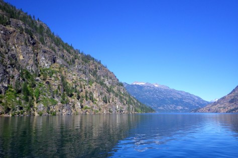
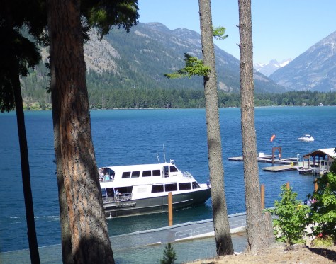
Lake Chelan is fifty-five miles long and 1,486 feet in depth, the third deepest lake in the U.S. At the north end of the lake (inaccessible by road), Stehekin, Washington has only about 100 year-round residents. Daily ferries service the community, which is the jumping off point for the mountain trails of Lake Chelan National Recreation Area and North Cascades National Park.
Highlights
Ferry, Stehekin, Rainbow Falls, backpacking trails
Must-Do Activity
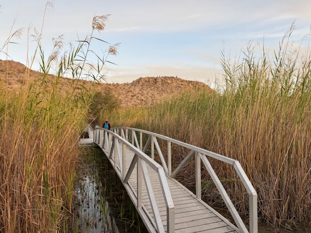
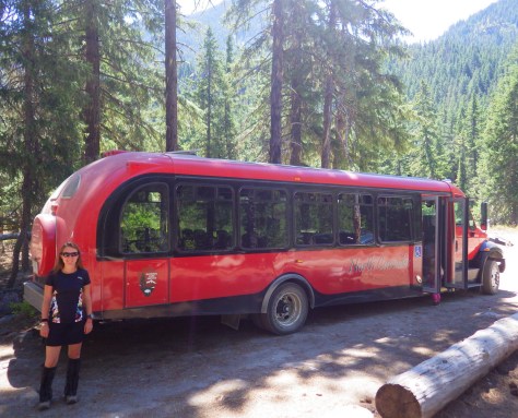
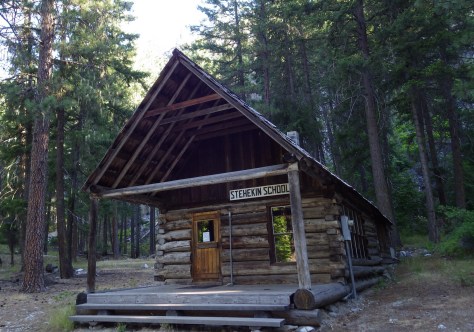
Stehekin is too fun for a brief day trip, so we recommend you book a room or pick up overnight backpacking permits at the Golden West Visitor Center in town. Then hop on the red jammer-style bus that provides transportation to the trailheads, including the short hike to Rainbow Falls. Nearby, the old one-room schoolhouse is open to visitors since it was replaced by a more modern building. Don’t miss the chance to sample the delicious variety of baked goods at Stehekin Pastry Company. After backpacking the many steep switchbacks, you will need the extra calories.
Best Trail
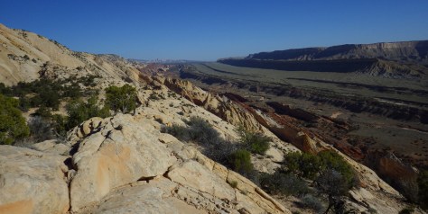
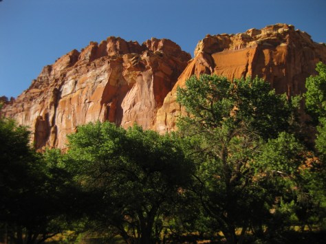
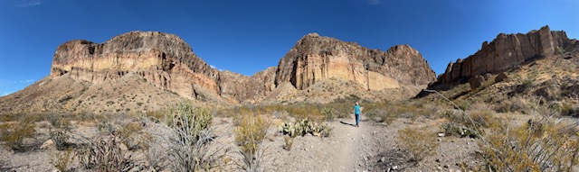
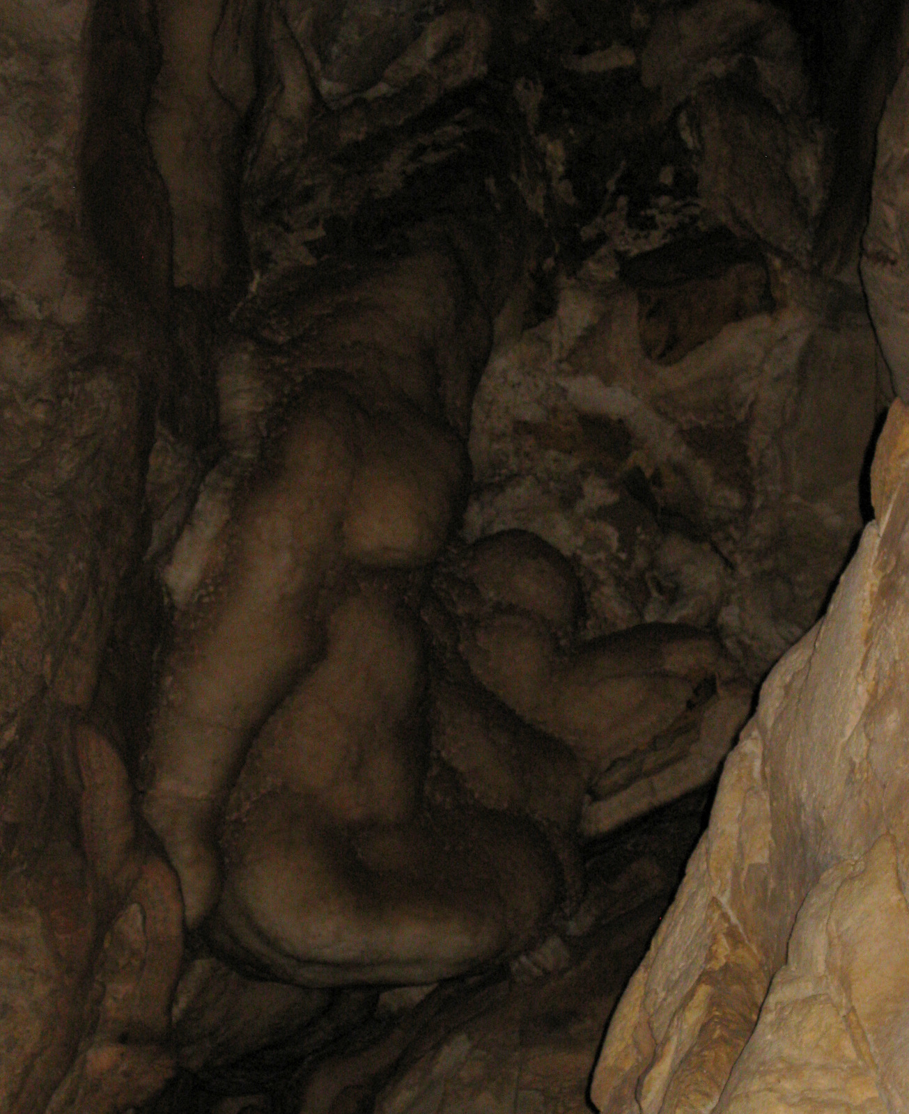
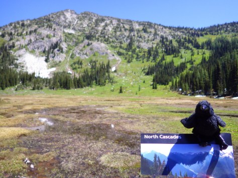
There are several great loop options, but we enjoyed hooking into the Pacific Crest National Scenic Trail then back south over McAlester Pass to Rainbow Creek Trail on a two night backpacking trip.
Instagram-worthy Photo
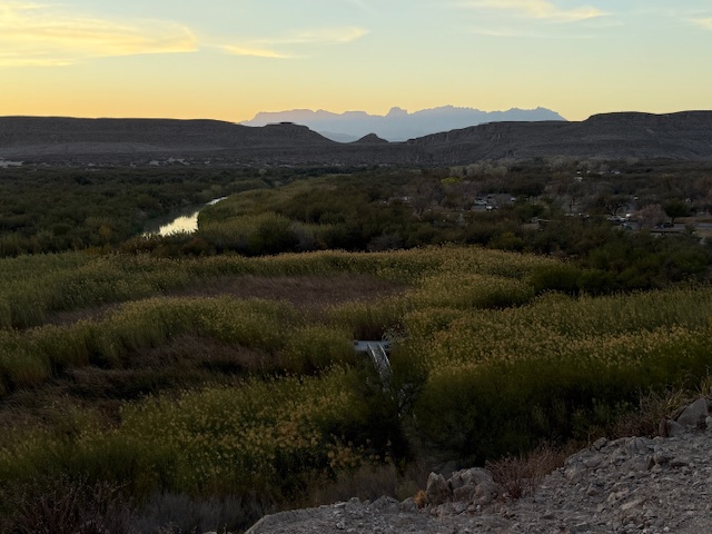
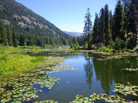
The beautiful Lake Chelan is known for its clarity and its fjord-like proportions, which you can best enjoy on the ferry ride to Stehekin.
Peak Season
Summer
Hours
https://www.nps.gov/noca/planyourvisit/stehekin.htm
Fees
No entrance fee, but there are charges for the ferry, bus, and backcountry campsites.
Road Conditions
No roads, so you will be walking or paying to take the red jammer-style bus out of Stehekin.
Camping
Purple Point and Harlequin Campgrounds are off the main road north of Stehekin, but since you have to pack in all of your gear on the ferry you may as well camp at one of the backcountry sites (permit required) along the many trails in the area.


Explore More – How far below sea level is the bottom of Lake Chelan?