Overview
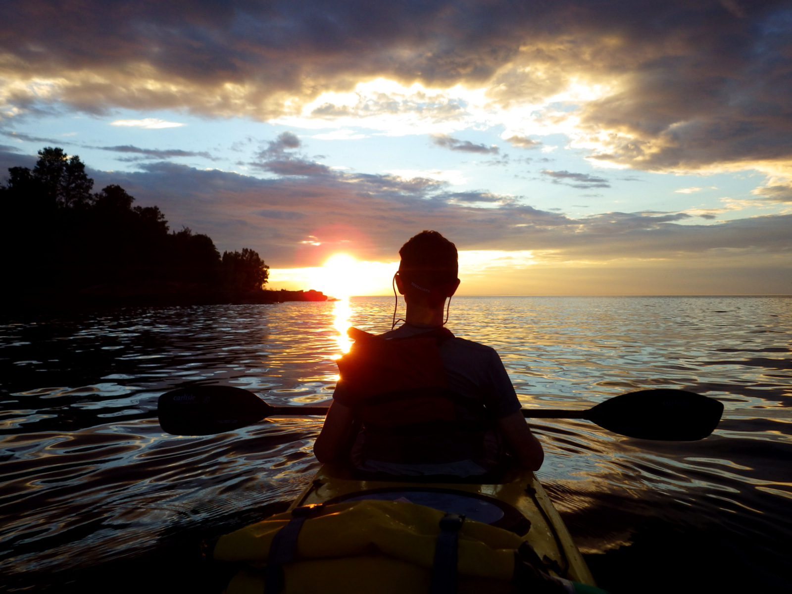
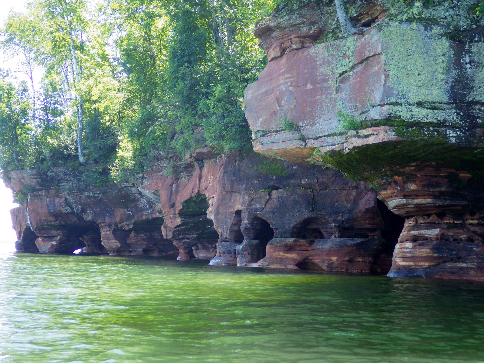
Twenty-one of the 22 islands within this archipelago jutting from northern Wisconsin into Lake Superior are part of Apostle Islands National Lakeshore. This region is famous for its lighthouses and concessionaires offer tours to see them if you do not have your own boat. Kayakers come for the sea caves carved into Sand Island, Devils Island, and the mainland (accessible on foot after the lake freezes in winter).
Highlights
Islands, lighthouses, boating, camping, sea caves
Must-Do Activity
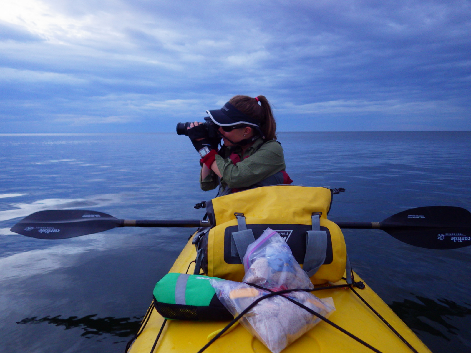
Even though this is a freshwater lake, Sand Island has sea caves carved into the billion-year-old sandstone cliffs by constant wave action. Located only 4 miles from shore, the Sand Island sea caves are carved nearly 50 feet into the rock and can be carefully navigated by kayak.
Best Trail
Sand Island was closed at the time of our visit due to black bear activity, but it is one of the few islands that has a hiking trail (Stockton, Basswood, and Outer being others). Lakeshore Trail on the west side of the Bayfield Peninsula offers a trail on the mainland.
Instagram-worthy Photo
You will need a kayak and a steady hand to take photographs while paddling through the sea caves on the east side of Sand Island.

Peak Season
Summer
Hours
https://www.nps.gov/apis/planyourvisit/hours.htm
Fees
None to visit, but there are fees to camp on the islands and for concessionaire boat tours.
Road Conditions
Most roads on the Bayfield Peninsula are paved and the sandy roads through Chequamegon National Forest were passable by all vehicles.
Camping
Many visitors come with their own boat to camp on one of the 18 islands with sites (permit required and reservations recommended). Car camping is available at Big Bay State Park on Madeline Island (ferry service) and throughout Chequamegon National Forest on Bayfield Peninsula.


Explore More – When was Long Island added as the twenty-first island in the park?

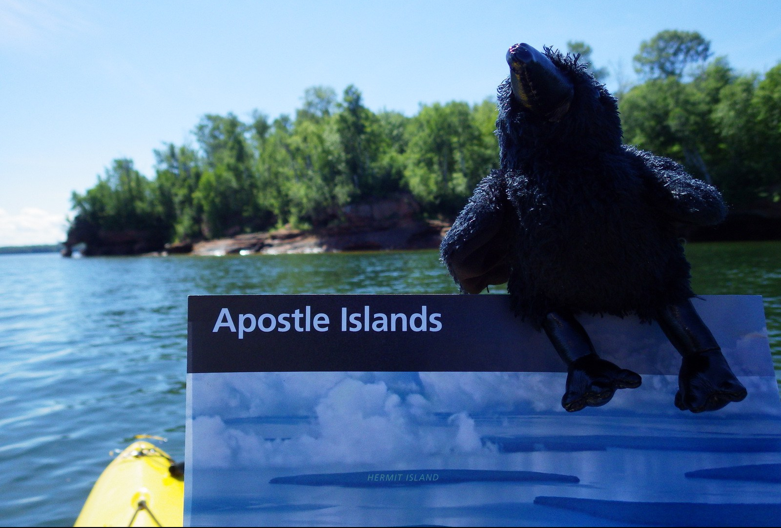
WONDON WAS HERE