Gunnison National Forest
Colorado
Managed by U.S. Forest Service, Rocky Mountain Region
1,766,941 acres (1,671,941 federal/ 95,000 other)
Website: https://www.fs.usda.gov/gmug
Overview
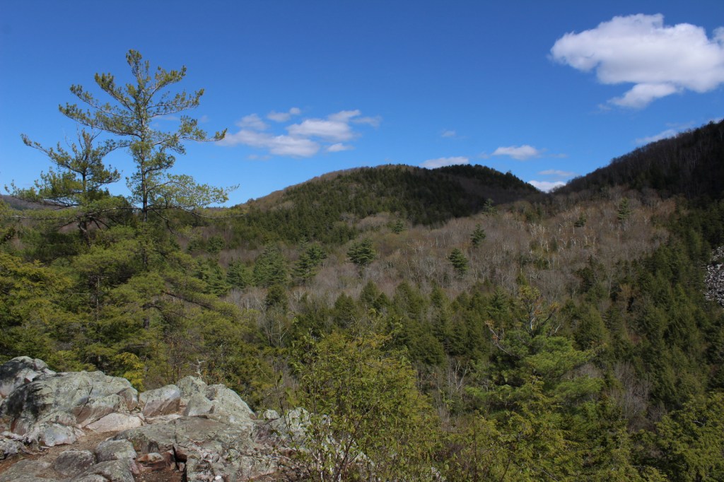
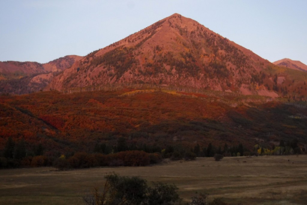
Gunnison National Forest surrounds the town of Crested Butte, a prime destination for mountain bikers and winter sports enthusiasts. It also shares mountainous borders and four of its eight designated Wilderness areas with neighboring Rio Grande, San Isabel, Uncompahgre, and White River National Forests. It was originally called the Cochetopa Forest Reserve, created by President Teddy Roosevelt on June 13, 1905. It is now co-managed with the Grand Mesa and Uncompahgre National Forests.
Highlights
Silver Thread Scenic Byway, Slumgullion Slide, Mt. Emmons Iron Bog, Taylor Park Reservoir, San Luis Peak, Fossil Ridge Recreation Area, Gothic Research Natural Area, Judd Falls, Alpine Tunnel, Mineral Creek Trail
Must-Do Activity
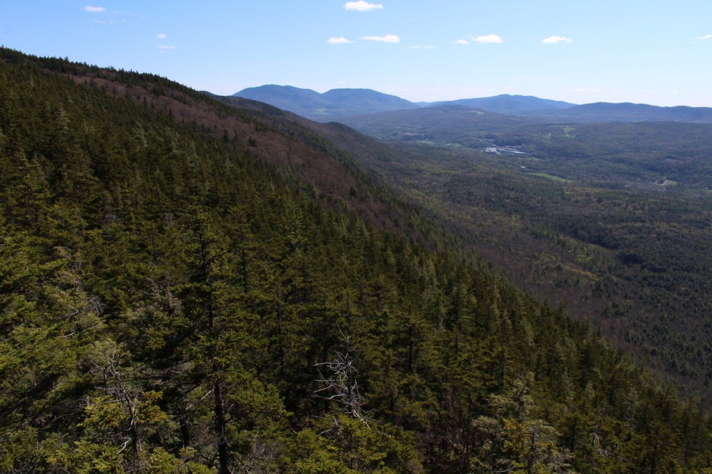
Much of the area was mined in the past, so there are many miles of four-wheel-drive roads to explore over mountain passes like Tomichi, Hancock, Taylor, Tincup, and Pearl Pass. Near the Victorian-era town of Lake City, the famous Slumgullion Slide crosses Highway 149 where a massive earth flow created Lake San Cristobal about 700 years ago. Visible from a pullout at Windy Point, a secondary flow of sludgy montmorillonite continues to move trees downslope to this day.
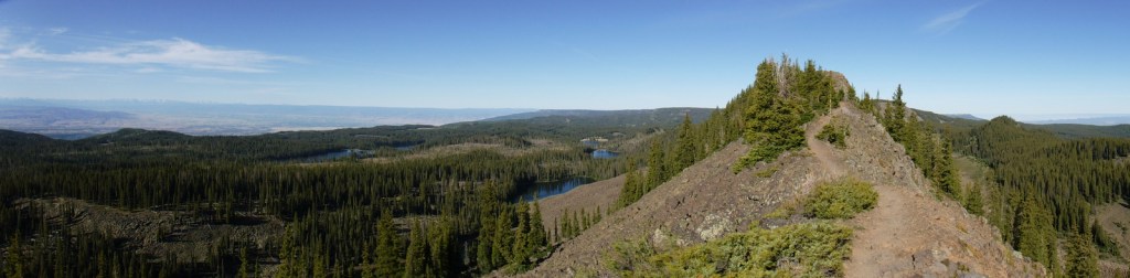
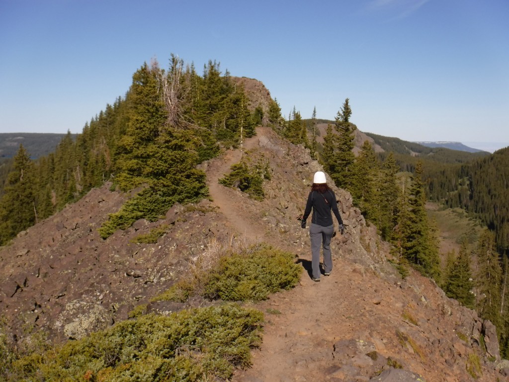
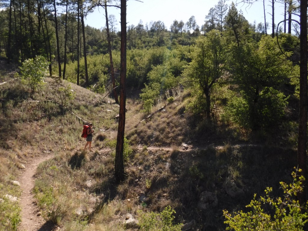
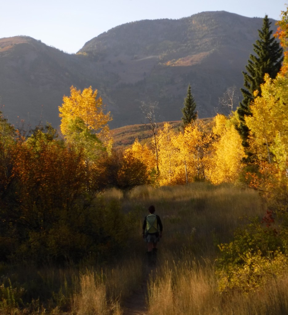
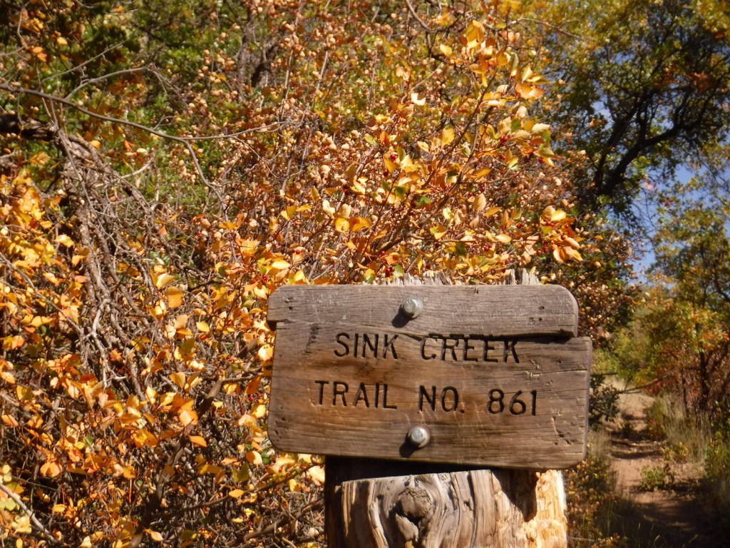
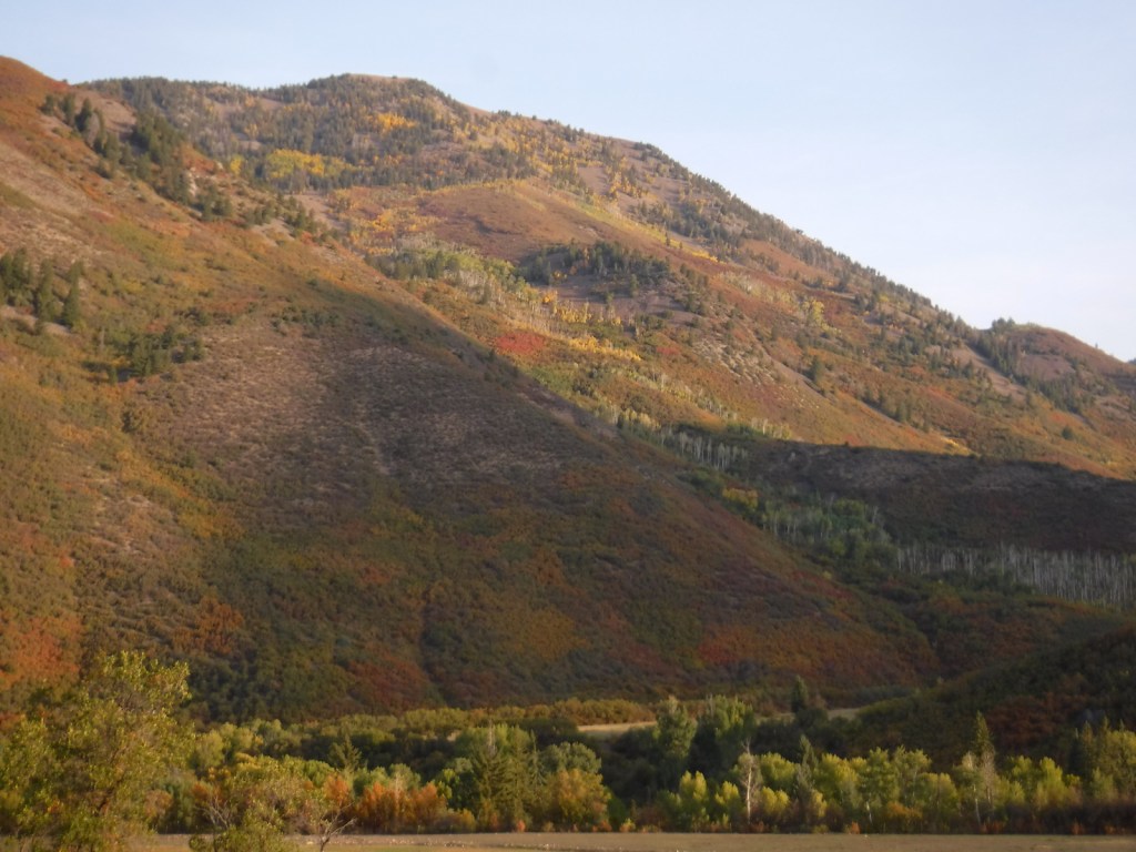
Best Trail
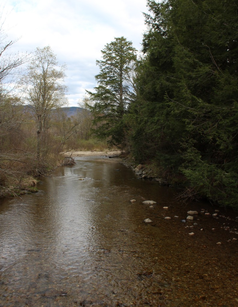
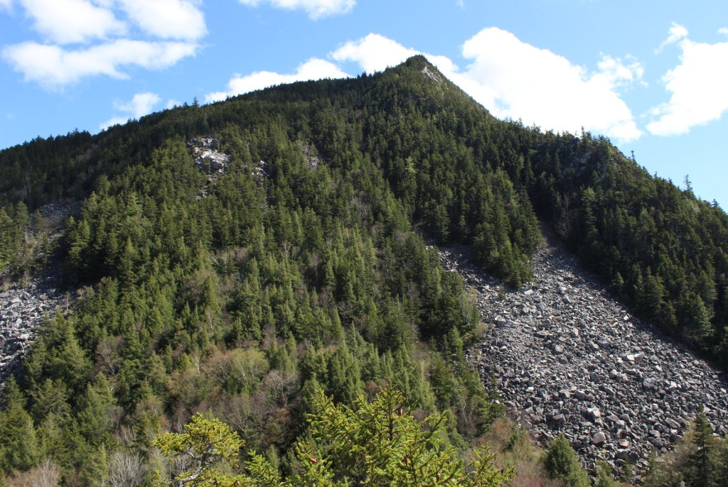
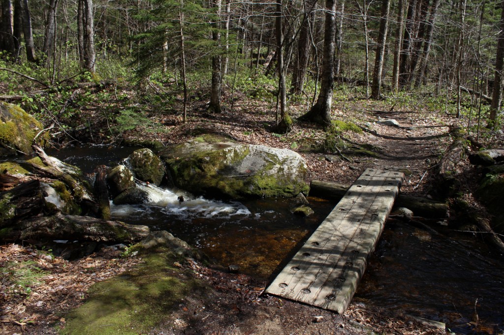
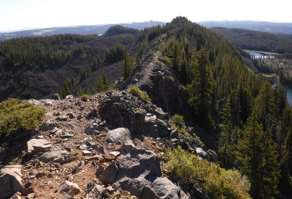
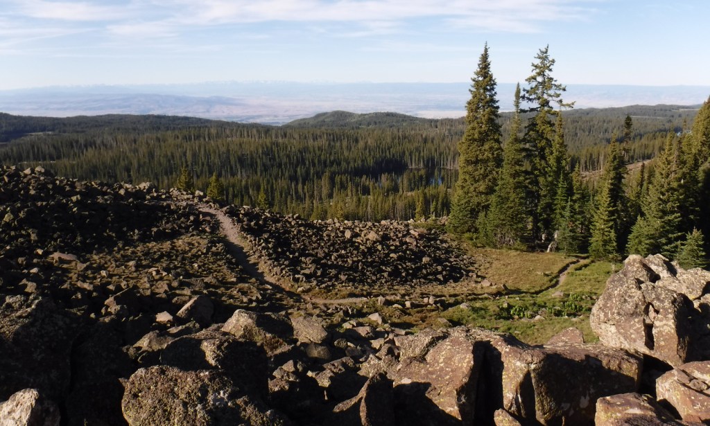
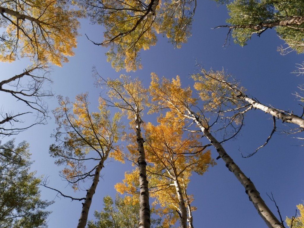
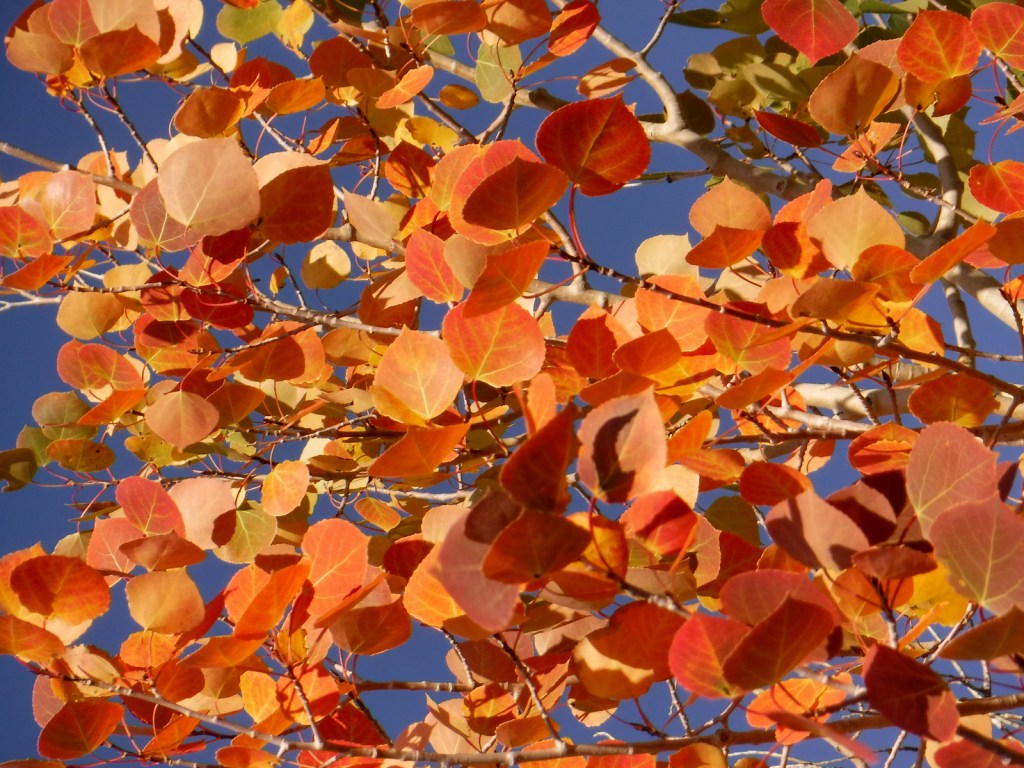
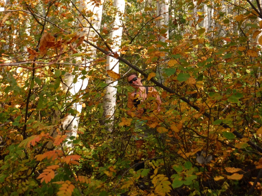
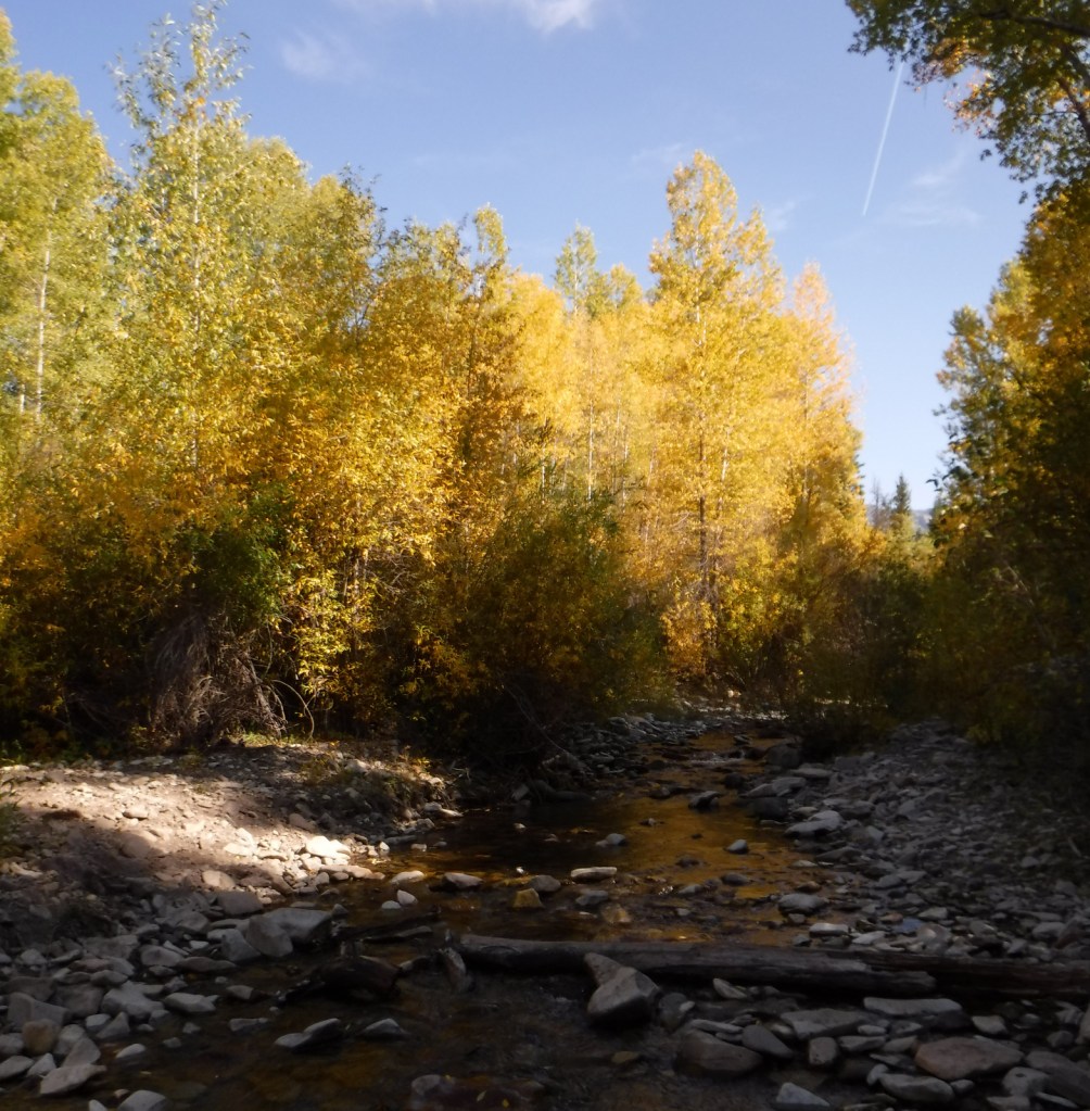
Just past the Bureau of Land Management (BLM) recreation site at Needle Rock, a gravel road enters Gunnison National Forest where two trailheads afford entrance into the West Elk Wilderness. Throughline Trail heads northeast toward 12,719-foot Mt. Gunnison, but it can be connected with the Lone Pine Trail at the 3.5-mile point to form a loop with Sink Creek Trail (a total of 13 miles roundtrip). We hiked a portion of Sink Creek Trail in late September when the aspen trees were changing colors and found a nice place for dispersed camping near the South Smith Fork Trailhead (high-clearance vehicle recommended).
Watchable Wildlife
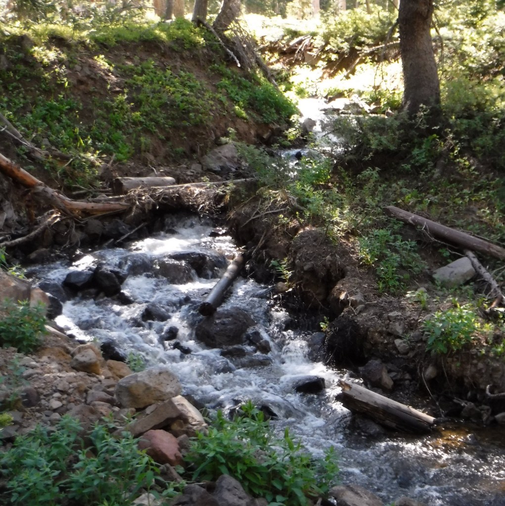
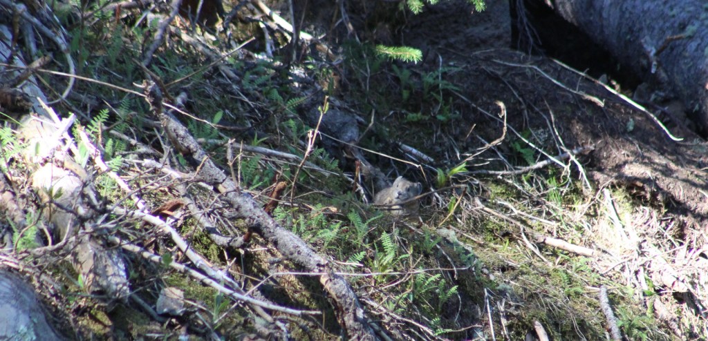
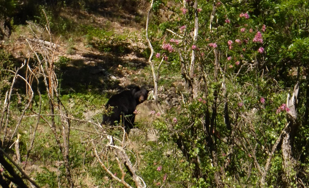
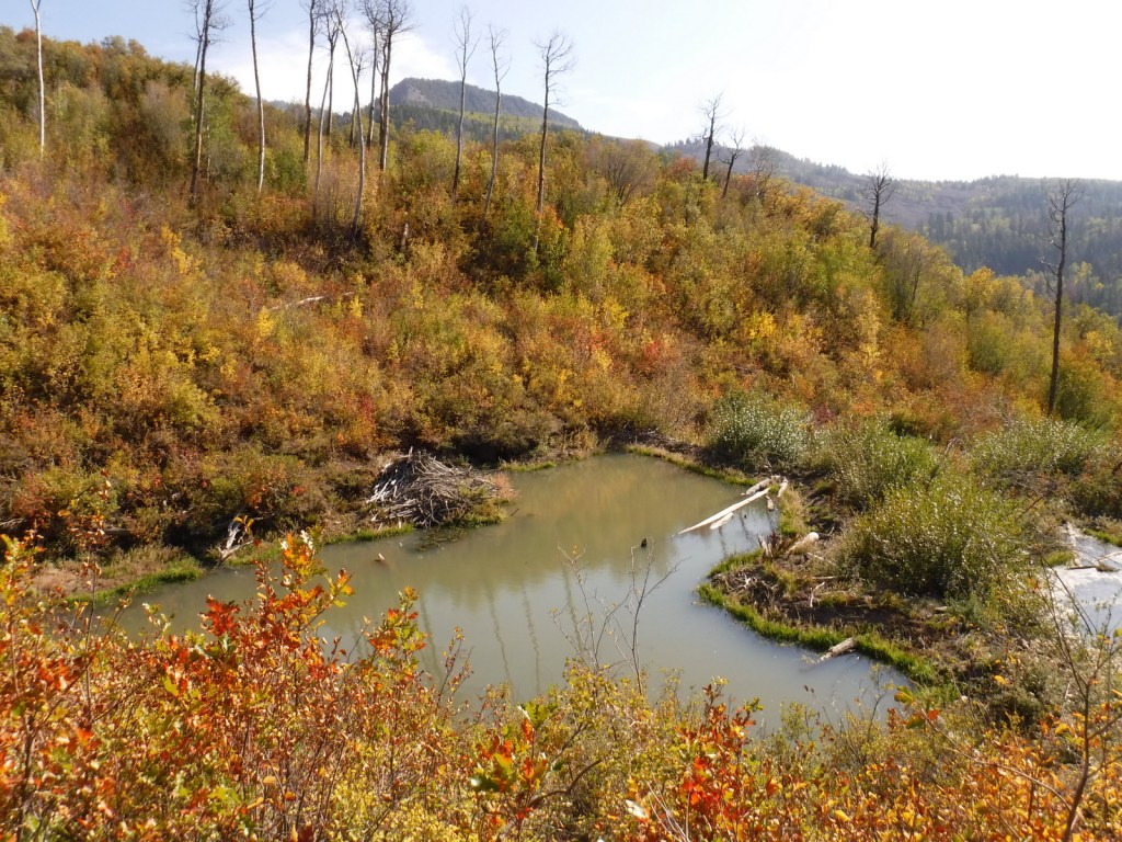
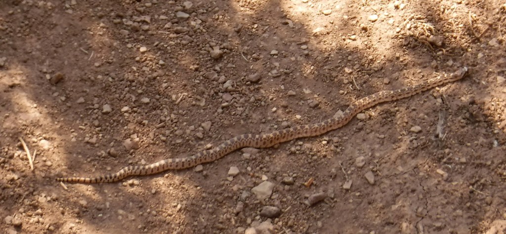
There are presumably elk in the mountainous West Elk Wilderness, as well as mule deer and bighorn sheep (a herd overwinters near the junction of the East and Taylor Rivers). Mountain lions, black bears, and pine martens also inhabit Gunnison National Forest. On our hikes we came across a gopher snake and a dam built by a beaver. Watch the skies for raptors like golden eagles, red-tailed hawks, and peregrine falcons.
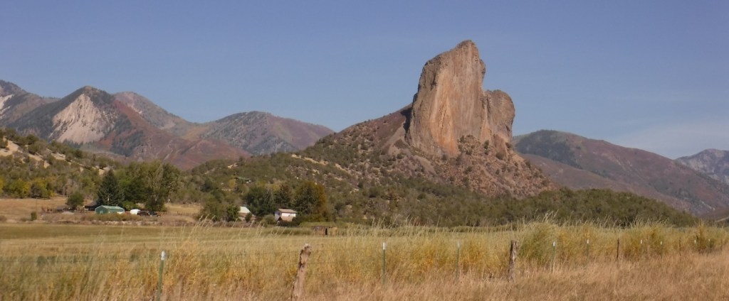
Instagram-worthy Photo
A good gravel road east of Crawford leads into Gunnison National Forest past Needle Rock Outstanding Natural Area, run by the Bureau of Land Management (BLM). The landmark is a 28-million-year-old volcanic plug which can be explored on a steep trail that does not completely circle it because of private land.
Peak Season
Summer and fall
Fees
None
Road Conditions
Several paved highways crisscross the National Forest, including a stretch of the Silver Thread Scenic Byway. Not every back road requires a high-clearance vehicle, as good graded roads go over Kebler Pass, Ohio Pass, and Cumberland Pass into the town of Pitkin. Popular four-wheel-drive routes include Pearl Pass Road, Old Monarch Pass Road, and Schofield Pass north into Crystal Canyon.
Camping
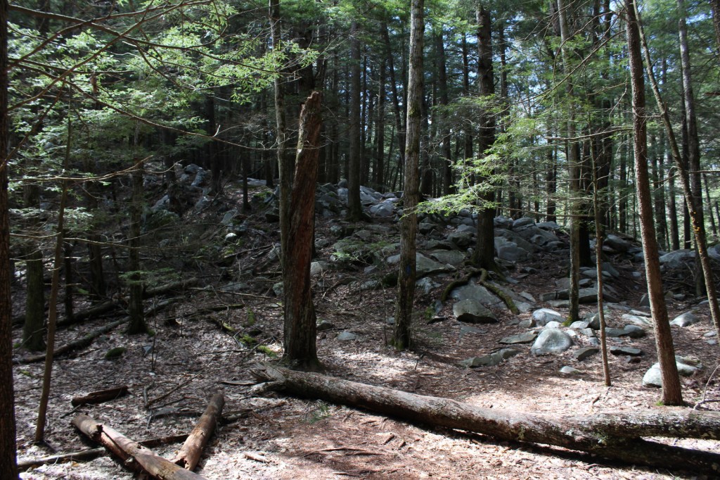
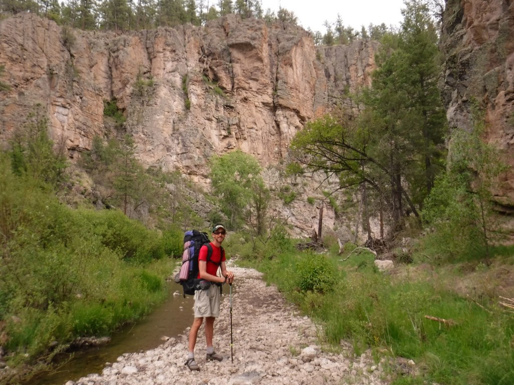
There are many nice campgrounds in Gunnison National Forest, including Slumgullion Campground at 11,200 feet, Lost Lake Campground next to a wildflower meadow, and Dorchester Campground on the road to 11,928-foot Taylor Pass (accessible by four-wheel-drive vehicles). Dispersed camping is also allowed throughout the National Forest; we found a nice spot near the South Smith Fork Trailhead (high-clearance vehicle recommended).
Wilderness Areas
Collegiate Peaks Wilderness Area (also in San Isabel National Forest)
Fossil Ridge Wilderness
La Garita Wilderness (also in Rio Grande National Forest)
Maroon Bells-Snowmass Wilderness (also in White River and San Isabel National Forests)
Powderhorn Wilderness (also on BLM land)
Raggeds Wilderness (also in White River National Forest)
West Elk Wilderness
Uncompahgre Wilderness (also in Uncompahgre National Forest)
Related Sites
Arapaho National Forest (Colorado)
Colorado National Monument (Colorado)
Grand Mesa National Forest (Colorado)
Nearest National Park
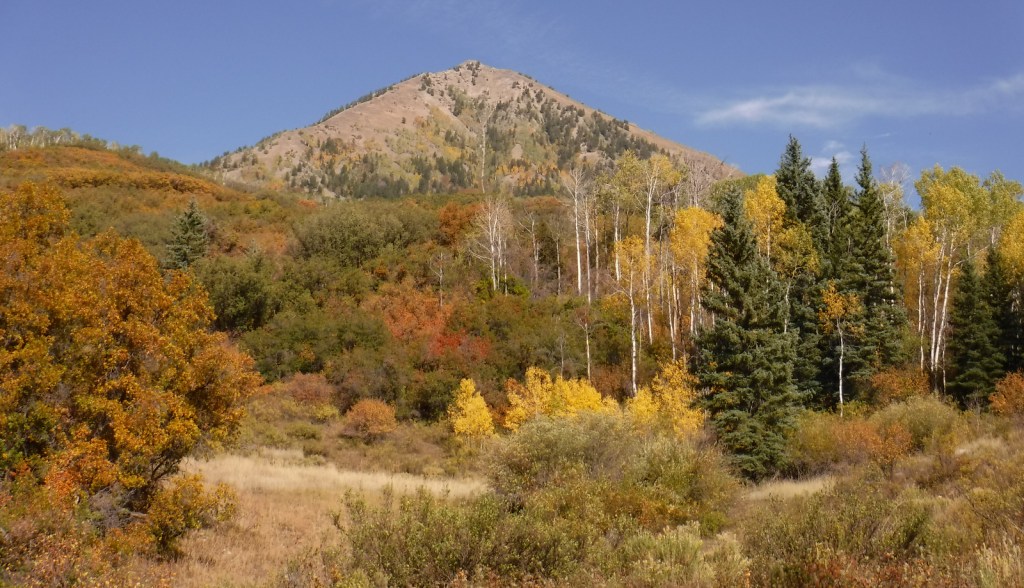


Engelmann spruce, subalpine fir, Douglas-fir, ponderosa pine, lodgepole pine, two-needle pinyon pine, Rocky Mountain juniper
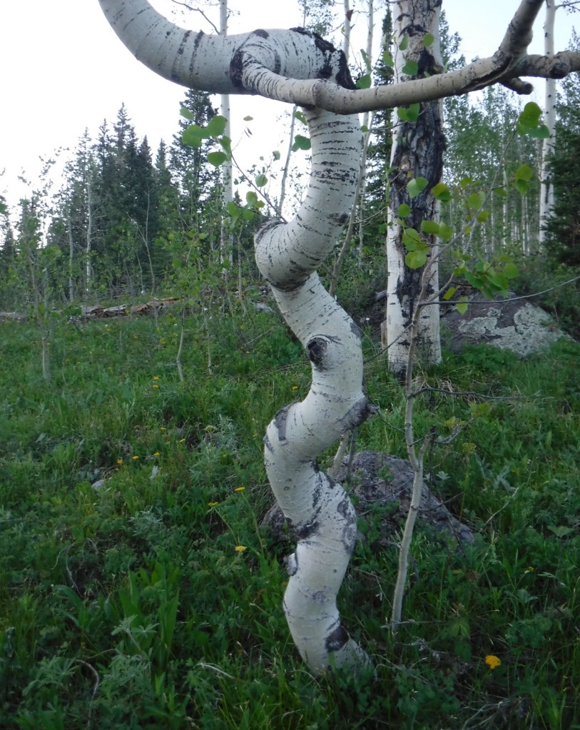
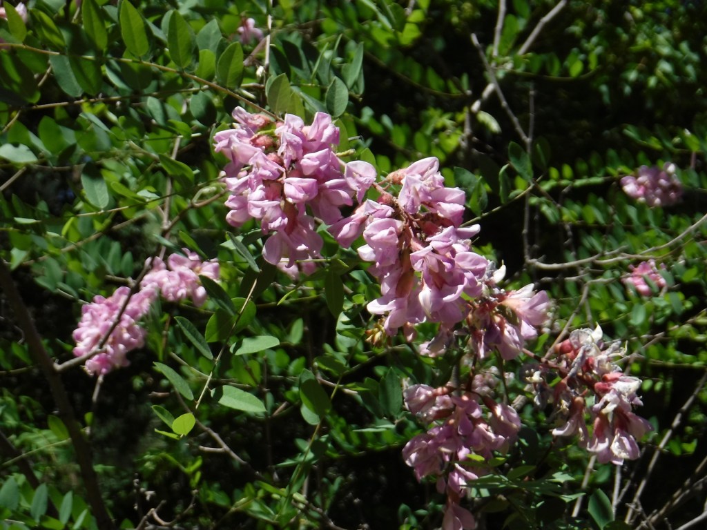
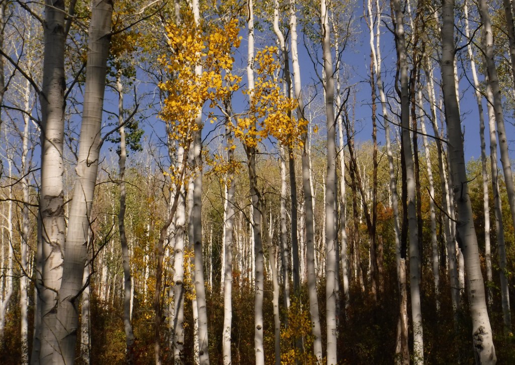
Gambel oak, quaking aspen, Utah serviceberry, red elderberry, sagebrush
Explore More – Who was John Gunnison, the Gunnison River’s namesake?

Learn more about this and the 154 other National Forests in our new guidebook Out in the Woods