Tag Archives: National Historic Site

Mary McLeod Bethune Council House National Historic Site

Overview

In 1875, Mary McLeod Bethune was born the 15th of 17 children to former slaves in South Carolina.  Throughout her life she fought for civil rights, founding the Daytona Educational and Industrial School for Negro Girls in Florida (which later merged to become Bethune-Cookman College).  In 1943, she purchased a Victorian townhouse in Washington, D.C.’s Logan Circle area to serve as her residence for six years and headquarters for the National Council of Negro Women (until a fire in 1966).

Highlights

House tour, film, National Archives for Black Women’s History, Logan Circle Historic District

Must-Do Activity

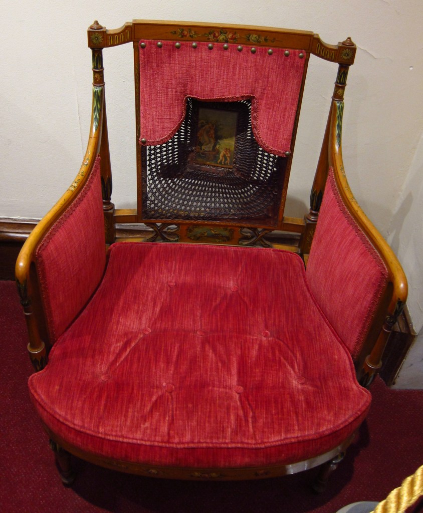
Mary McLeod Bethune Council House National Historic Site was designated by Congress in 1982.  Since 1994, the National Park Service (NPS) has managed the property displaying historic photographs and original furnishings in some of the 15 rooms.  After a self-guided tour of the house, go check out a 12-foot tall statue of Mary McLeod Bethune located in Lincoln Park on East Capitol Street.

Best Trail

You can pick up an informational booklet at this site for the Washington, DC Black History National Recreation Trail.

Instagram-worthy Photo

This is the only NPS site we have visited where the first thing you do upon arrival is ring the doorbell.

Peak Season

Spring and summer

Hours

https://www.nps.gov/mamc/planyourvisit/hours.htm

Fees

None

Road Conditions

As with most NPS sites in Washington, D.C., it is easier to walk or take the Metro than find parking for your car.

Camping

There are no NPS campgrounds in the Washington, D.C. area, so it might be best to head for Shenandoah National Park in Virginia.

Related Sites

Carter G. Woodson Home National Historic Site (District of Columbia)

Belmont-Paul Women’s Equality National Monument (District of Columbia)

Martin Luther King, Jr.  National Memorial (District of Columbia)

Explore More – Before her death in 1955, Mary McLeod Bethune worked on civil rights issues for how many U.S. Presidents?

Tuskegee Institute National Historic Site

Overview

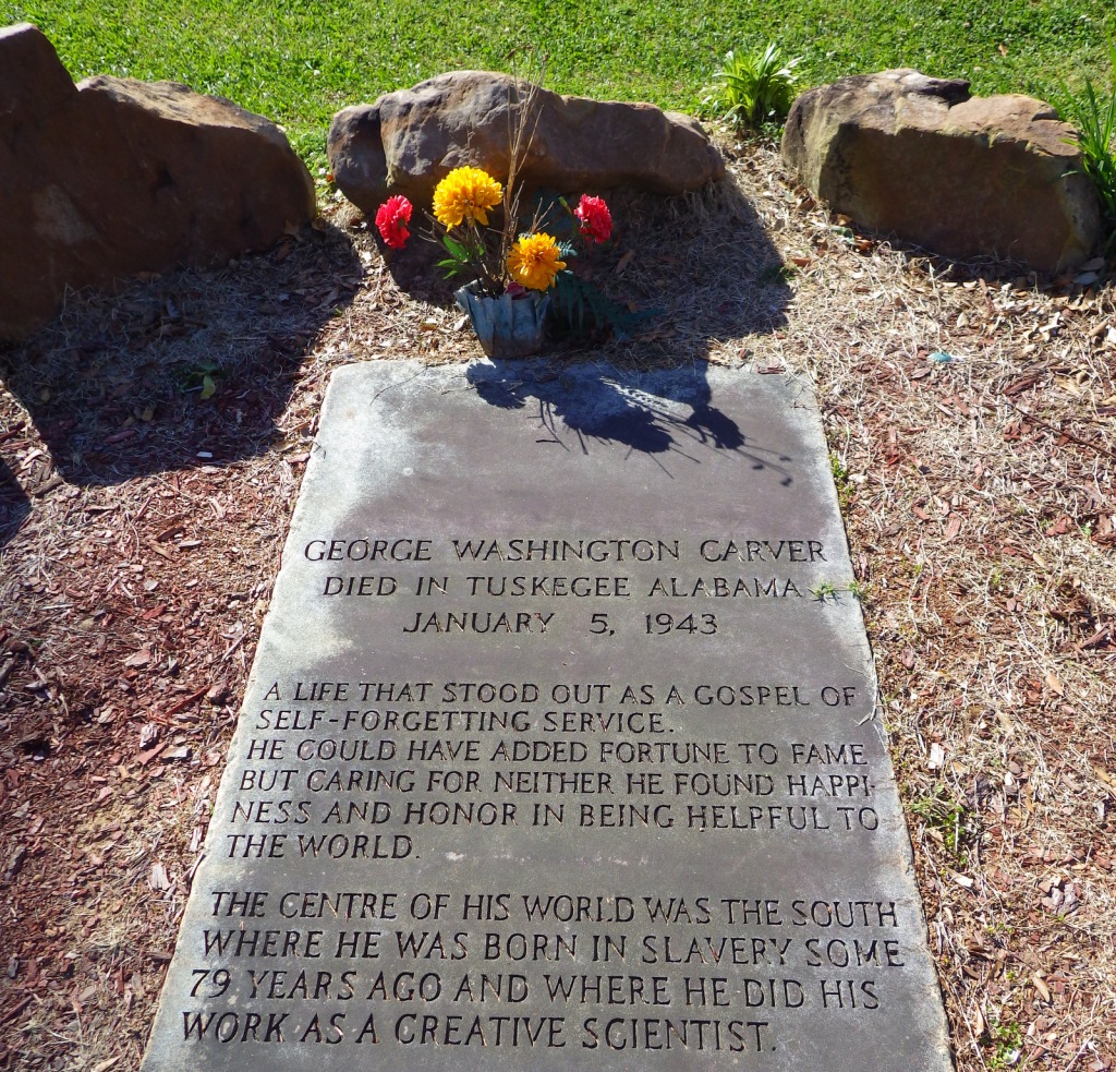
This historic college for African Americans is also the final resting place for pioneering staff members Booker T. Washington and George Washington Carver.  In 1881, a 25-year-old Washington moved to an abandoned plantation in Alabama to found the Tuskegee Normal and Industrial Institute with a $2,000 appropriation from the state.  From its initial enrollment of 30 students, Tuskegee has grown and continues to be an active and prominent university today.

Highlights

Historic campus, George Washington Carver Museum, Tuskegee Chapel, The Oaks

Must-Do Activity

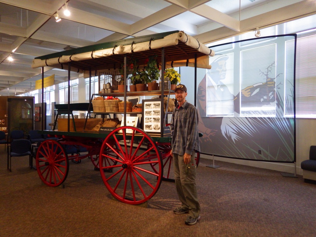
Since only eight of the 58 acres dedicated to this National Historic Site are owned by the National Park Service (NPS) on this active college campus, it behooves you to call ahead to schedule your visit.  Guided tours are available of the university and The Oaks, the historic Washington family home that was built by students.  At least make sure the excellent George Washington Carver Museum is open when you visit.  At the beginning of World War II, the school was selected to train African-American pilots, which is detailed at the nearby Tuskegee Airmen National Historic Site, also managed by the NPS.

Best Trail

None

Instagram-worthy Photo

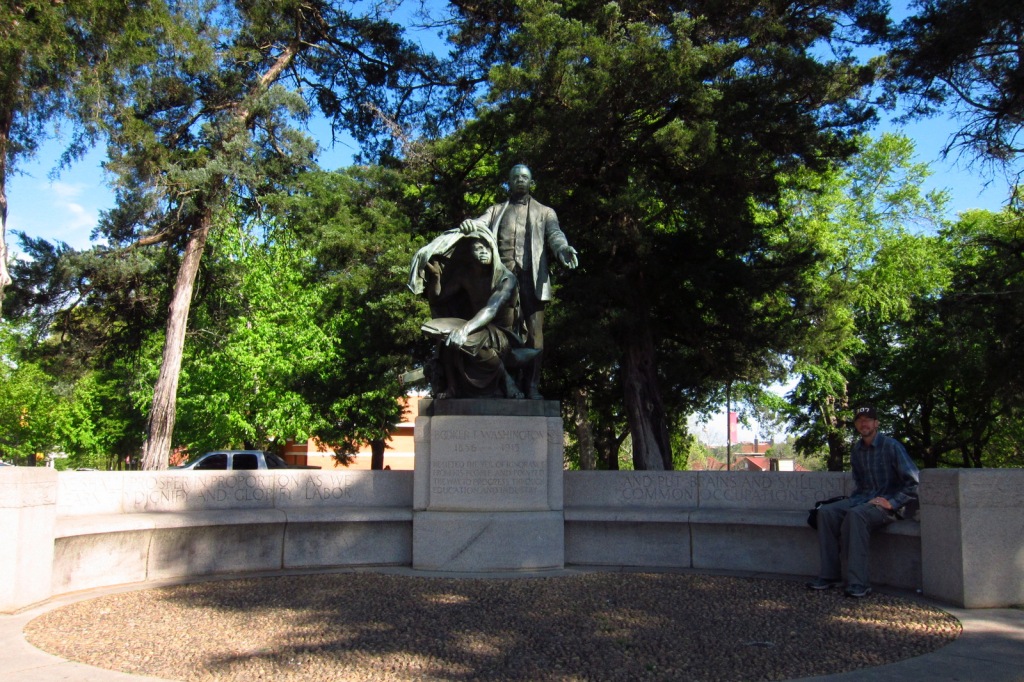
The sculpture of Booker T. Washington lifting the veil of ignorance from a slave was completed by Charles Keck in 1922.

Peak Season

Spring and fall

Hours

https://www.nps.gov/tuin/planyourvisit/hours.htm

Fees

None

Road Conditions

All roads are paved, but there is limited parking on campus for tourists.

Camping

Chewacla State Park is located northeast of town and primitive camping is allowed in Tuskegee National Forest (the smallest U.S. National Forest at 11,252 acres).

Related Sites

Booker T. Washington National Monument (Virginia)

George Washington Carver National Monument (Missouri)

Tuskegee Airmen National Historic Site (Alabama)

Explore More – How many bricks were made and laid by Tuskegee students to build the original chapel in 1896-98?

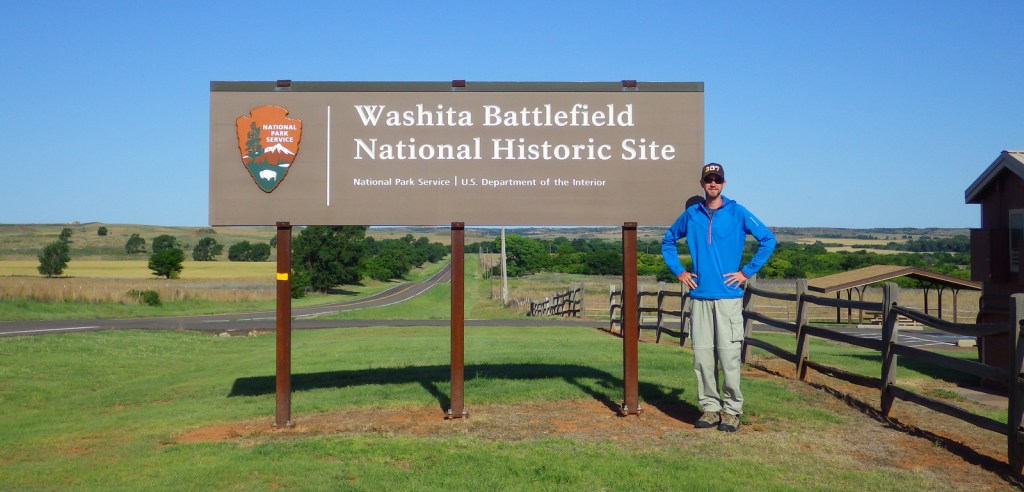
Washita Battlefield National Historic Site

Overview

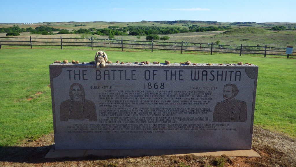
Many retaliatory acts occurred in the aftermath of the 1864 Sand Creek Massacre in Colorado, leading the U.S. Army to launch a campaign against the Cheyenne, Arapaho, and Kiowa following the signing of several peace treaties.  In November 1868, after unsuccessfully seeking protection at Fort Cobb, Cheyenne Chief Black Kettle and Arapaho Chief Big Mouth returned to their winter villages in the Washita River Valley.  The very next day a surprise attack was launched by Lieutenant Colonel George Custer, capturing 53 and killing thirty to sixty Cheyennes, including Black Kettle and his wife.  Under Major General Philip Sheridan’s policy of “total war,” approximately 800 horses were then slaughtered and the village burned. 

Highlights

Museum, film, interpretive trail

Must-Do Activity

The events that took place the morning of November 27, 1868 in western Oklahoma have been described either as a battle or a massacre.  A small National Park Service (NPS) visitor center with exhibits on the events is shared with the U.S. Forest Service’s Black Kettle National Grassland.  Located just down the road on Highway 47 is a self-guided walking tour of the prairie battlefield. 

Best Trail

The 1.4-mile hiking trail through the battlefield leaves from an overlook of the historic site down to the Washita River where trees grow.

Instagram-worthy Photo

The vegetation is typical of Oklahoma prairie with grasses, yucca, and Indian blanket (in bloom in late May).

Peak Season

Summer

Hours

https://www.nps.gov/waba/planyourvisit/hours.htm

Fees

None

Road Conditions

All roads paved

Camping

There are private campgrounds in Cheyenne, Oklahoma, or you can head 25 miles southeast to Foss State Park.

Related Sites

Black Kettle National Grassland (Oklahoma-Texas)

Sand Creek Massacre National Historic Site (Colorado)

Little Bighorn Battlefield National Monument (Montana)

Chickasaw National Recreation Area (Oklahoma)

Explore More – When was this National Historic Site authorized by Congress?
Pu‘ukohola Heiau National Historic Site

Overview

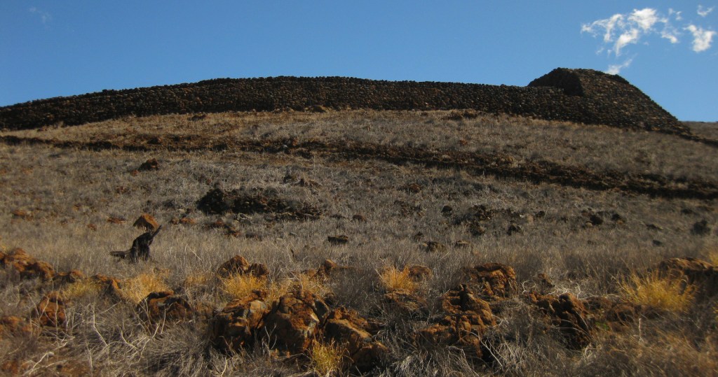
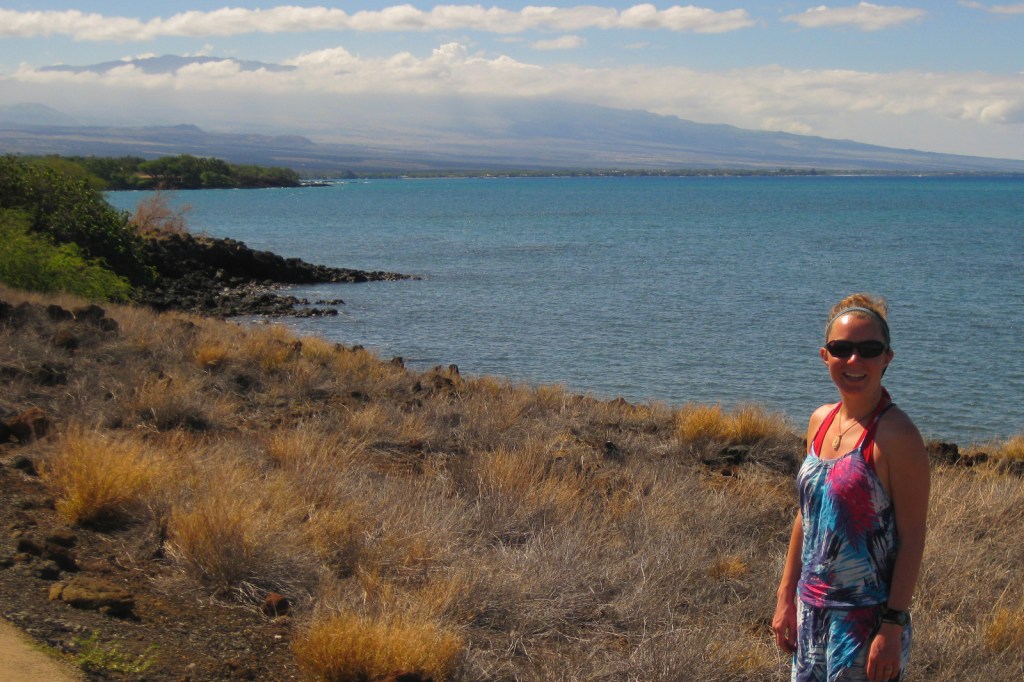
Located on the west coast of the Big Island of Hawai‘i, Pu‘ukoholā Heiau translates as “temple on the hill of the whale.”  Under the rule of Kamehameha I, the heiau was built in 1790-91 after a prophet told his aunt he needed to appease the family war god.  In 1810, after years of warfare, Kamehameha I finally became the first king of the unified Hawaiian Islands.  Following his death nine years later, his son abolished the kapu system of beliefs and the heiau fell into ruin.  This 86-acre site was added to the National Park Service (NPS) system in 1972.

Highlights

Pu‘ukoholā Heiau, Mailekini Heiau, Ala Kahakai National Historic Trail, John Young’s Homestead

Must-Do Activity

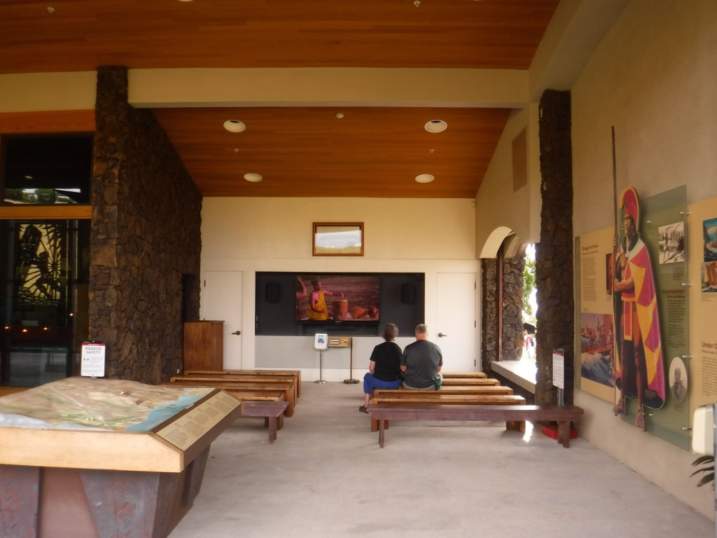
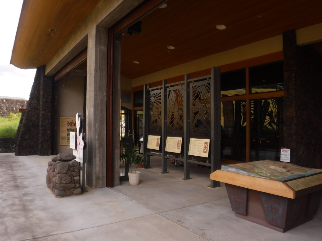
Start your visit at the NPS visitor center and check out the metal artwork that tells the story of the demi-god Maui.  Then walk the interpretive trail for views of several heiau, including the submerged Hale o Kapuni Heiau dedicated to the shark gods.  You can also park across Highway 270 and walk to the site of John Young’s homestead.  Young was a British sailor stranded on Hawai‘i in 1790 who became a trusted military advisor of Kamehameha I. 

Best Trail

A short portion of the 175-mile long Ala Kahakai National Historic Trail runs through this site, though at present most of the trail is not publicly accessible.

Instagram-worthy Photo

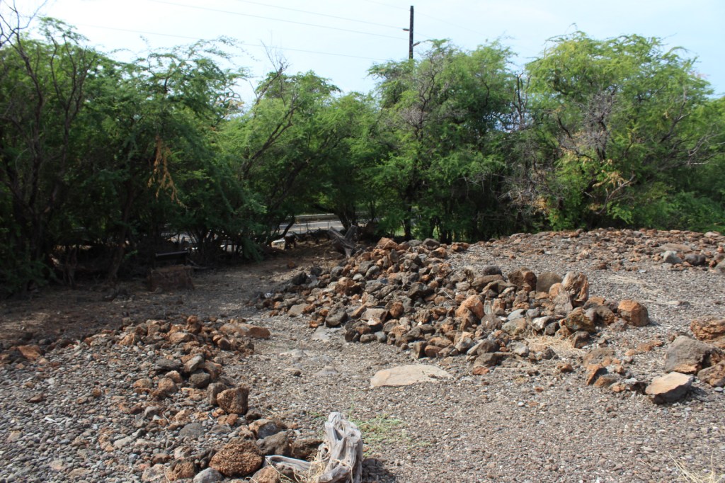
Pu‘ukoholā Heiau measures 224 by 100 feet with 20-foot high walls and was constructed without mortar by stacking volcanic rocks.  The heiau are closed to the public, but can be photographed from downhill.

Peak Season

Year round, but each August there are ceremonies held at the heiau.

Hours

https://www.nps.gov/puhe/planyourvisit/hours.htm

Fees

None

Road Conditions

All roads paved

Camping

Samuel Spencer County Park offers camping nearby, but reservations are required.

Related Sites

Pu‘uhonua o Honaunau National Historical Park (Hawai‘i)

Kaloko-Honokohau National Historical Park (Hawai‘i)

Hawai‘i Volcanoes National Park (Hawai‘i)

Explore More – The kikiako‘i (or stone leaning post) was at least six feet tall and used by chiefs to observe sharks feeding at Hale o Kapuni Heiau; when was it accidentally broken?

Sand Creek Massacre National Historic Site

Overview

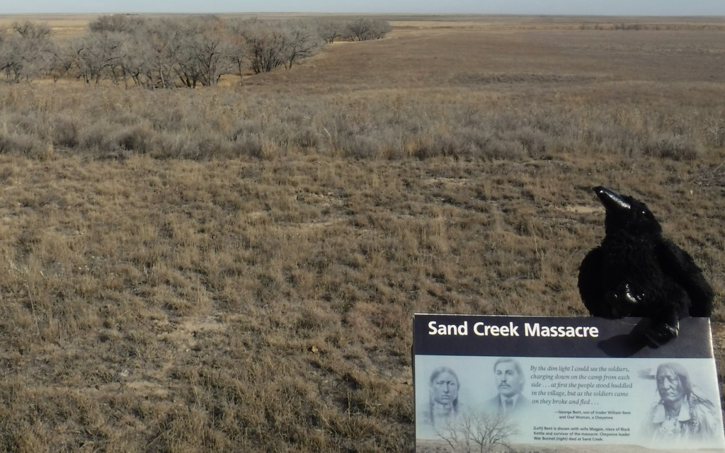
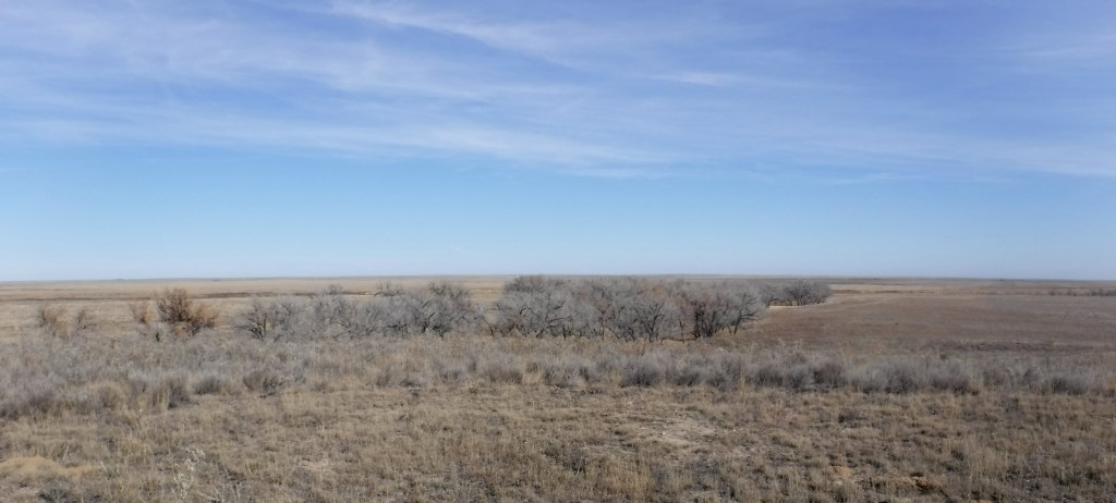
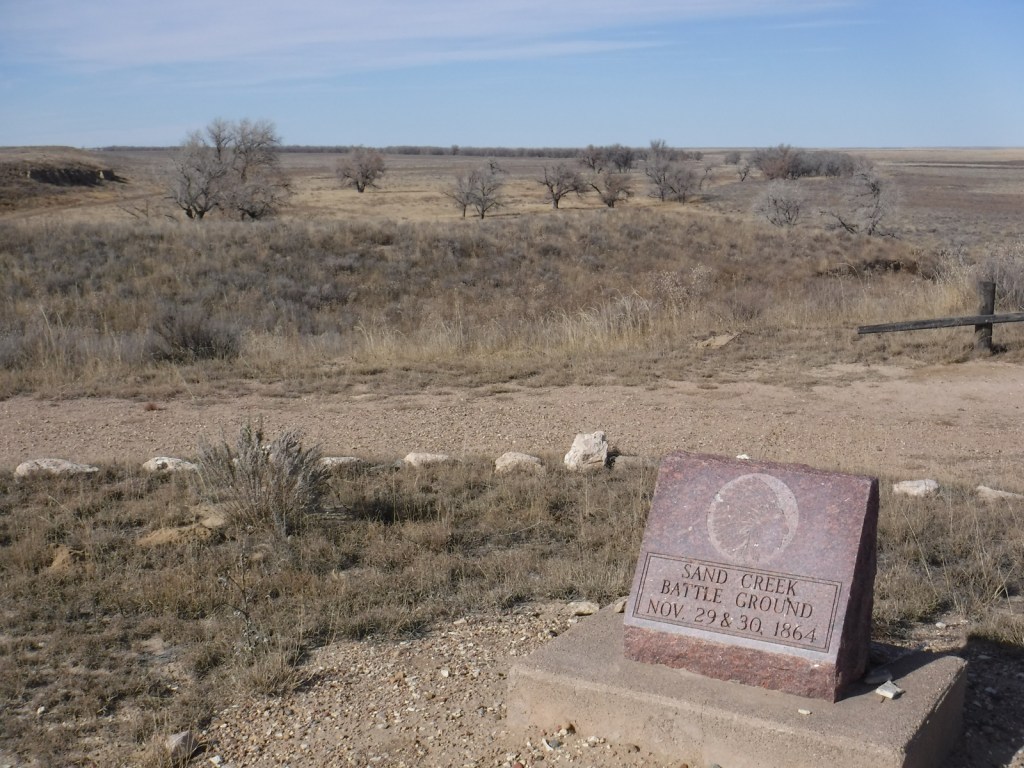
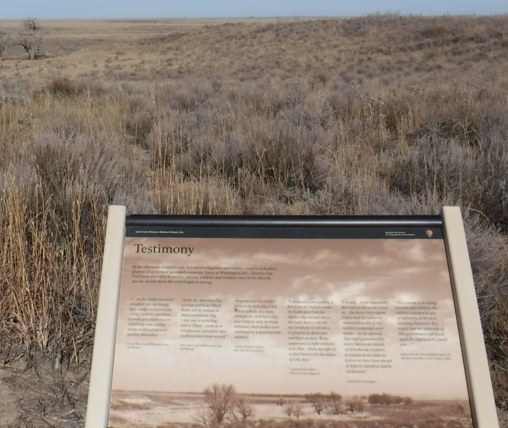
On November 29, 1864, in the middle of the Civil War, a tragedy played out on this spot where Chief Black Kettle and 700 other American Indians were peacefully spending the winter in accordance with the 1861 Treaty of Fort Wise.  A surprise attack led by Colonel John Chivington killed between 165 and 200 Cheyenne and Arapaho, primarily women, children, and the elderly.  The site is held sacred by the Cheyenne and Arapaho, so is only viewable from an overlook above the cottonwood-lined creek.  It serves as an important reminder of the terrible acts people can undertake when they dehumanize their fellow men.

Highlights

Memorial, trail, overlook

Must-Do Activity

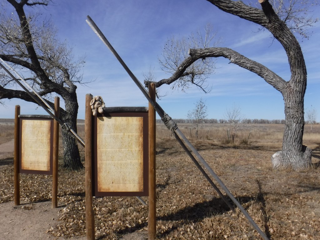
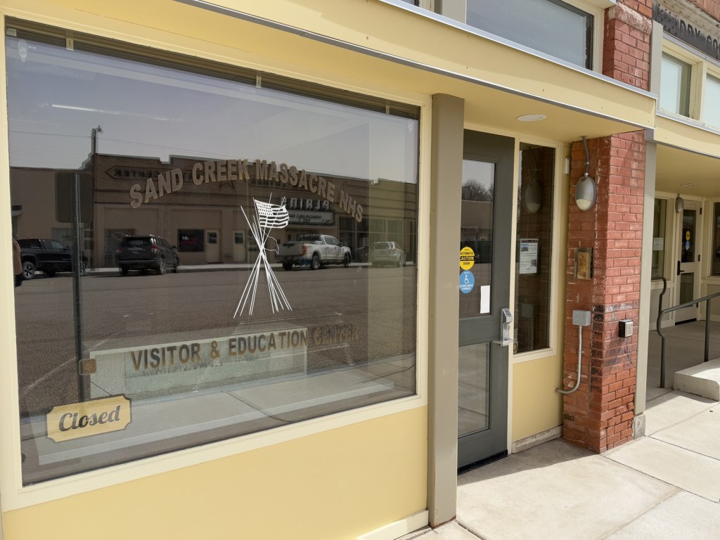
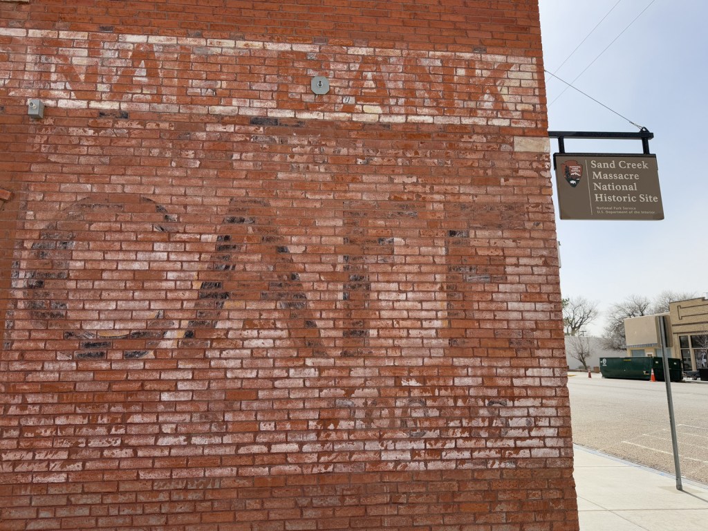
Authorized in 2000 upon the discovery of two grisly letters describing the gruesome event, Sand Creek Massacre National Historic Site opened to the public in 2007.  It is located in a remote section of the eastern Colorado plains, down a long dirt road, but it does have a small visitor center in a trailer staffed by the National Park Service (NPS).  Near the parking lot you will find posted the letters written by Captain Soule and Lieutenant Cramer, whose units refused to fire during the massacre.  Be warned that the description of the mutilation of the bodies is painful to read and not suitable for children. Another NPS visitor center is located in the town of Eads, Colorado (see photos below).

Best Trail

There is a 0.8-mile self-guided walking trail with a few interpretive signs. There is also a 600-mile Sand Creek Massacre Trail designated on highways between here and the Wind River Reservation in Wyoming.

Instagram-worthy Photo

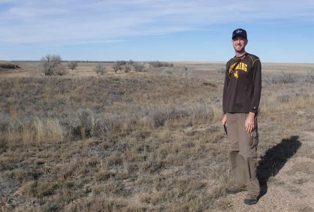
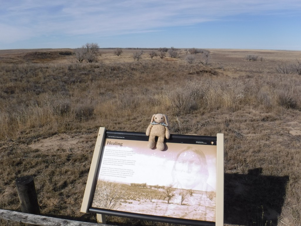
We took this photo from the overlook of the 1864 Cheyenne and Arapaho camp in November nearly 153 years after the massacre.

Peak Season

Summer

Hours

https://www.nps.gov/sand/planyourvisit/hours.htm

Fees

None

Road Conditions

The dirt access road is well maintained.

Camping

None

Related Sites

Washita Battlefield National Historic Site (Oklahoma)

Bent’s Old Fort National Historic Site (Colorado)

Comanche National Grassland (Colorado)

Nearest National Park

Great Sand Dunes

Explore More – Who was the Colorado Territorial Governor that authorized the 100-day volunteer cavalry to “kill and destroy” hostile American Indians?