Fishlake National Forest
Utah
Managed by U.S. Forest Service, Intermountain Region
1,539,737 acres (1,461,226 federal/ 78,511 other)
Website: https://www.fs.usda.gov/fishlake
Overview
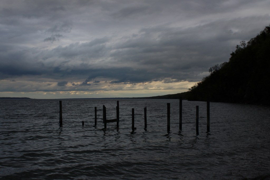
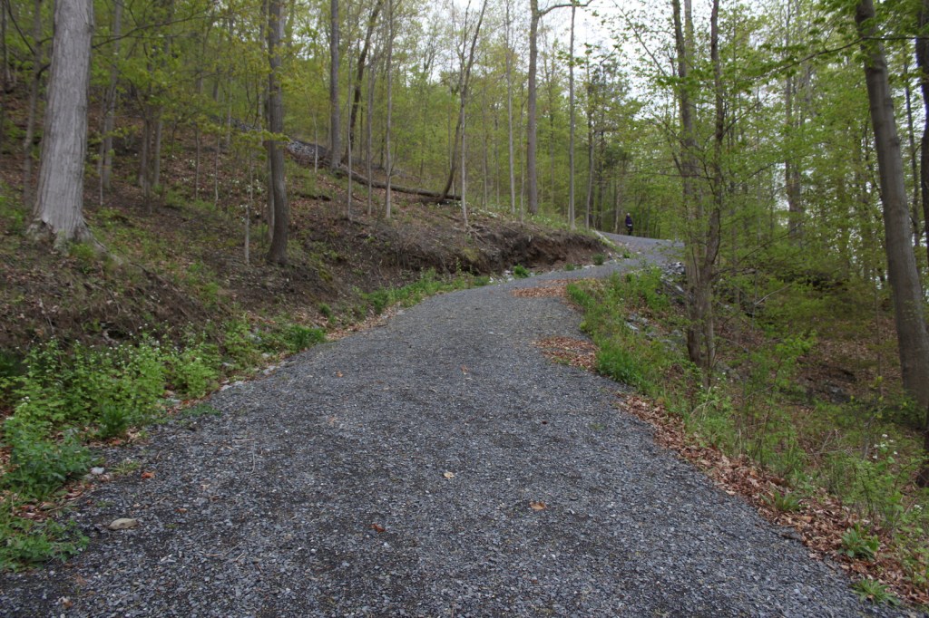
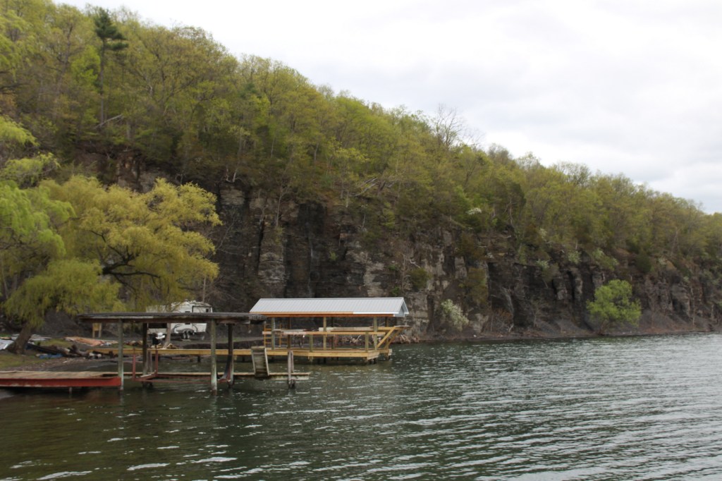
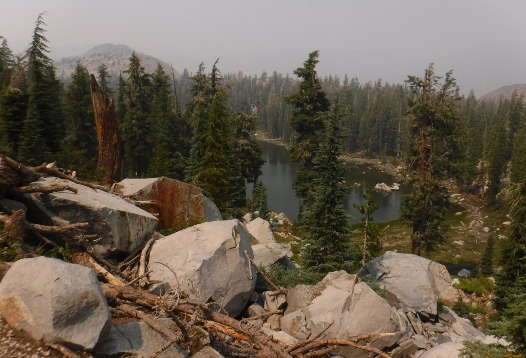
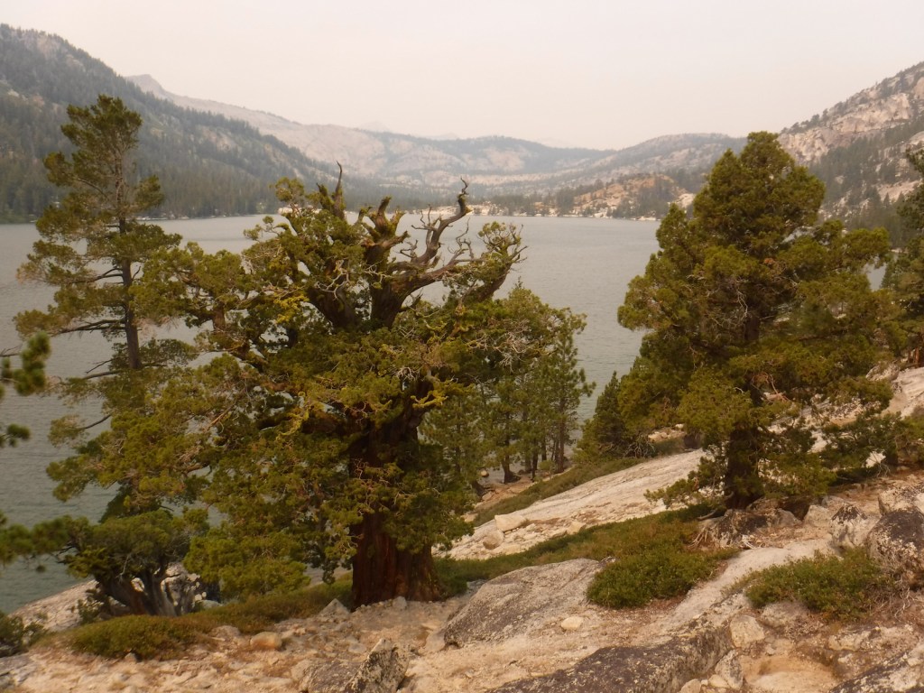
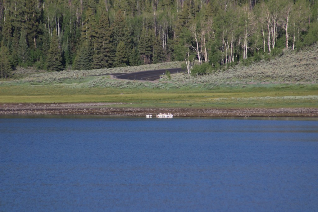
Much of Fishlake National Forest is at high elevation in central Utah, which is also true of its namesake Fish Lake that sits at 8,800 feet. Fish Lake is the largest natural mountain lake in Utah and lent its name to the Fish Lake Cutoff on the Old Spanish Trail, which ran from Santa Fe to Los Angeles. There are hundreds of miles of trails open to ATVs in the National Forest, including the 238-mile Paiute ATV Trail and the Gooseberry ATV Trails accessible from Interstate 70. There are also plenty of trails for hikers, backpackers, mountain bikers, and equestrians, including the trail that crosses the South Fork of North Creek Trail 60 times as it covers ten miles leaving from beautiful Blue Lake at the base of Mt. Baldy.

Highlights
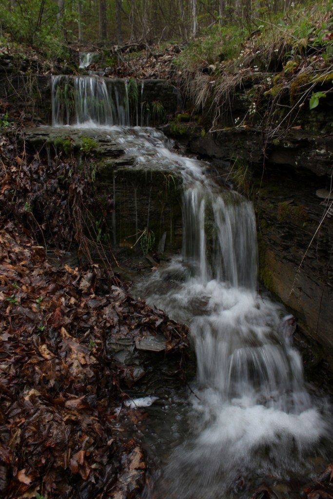
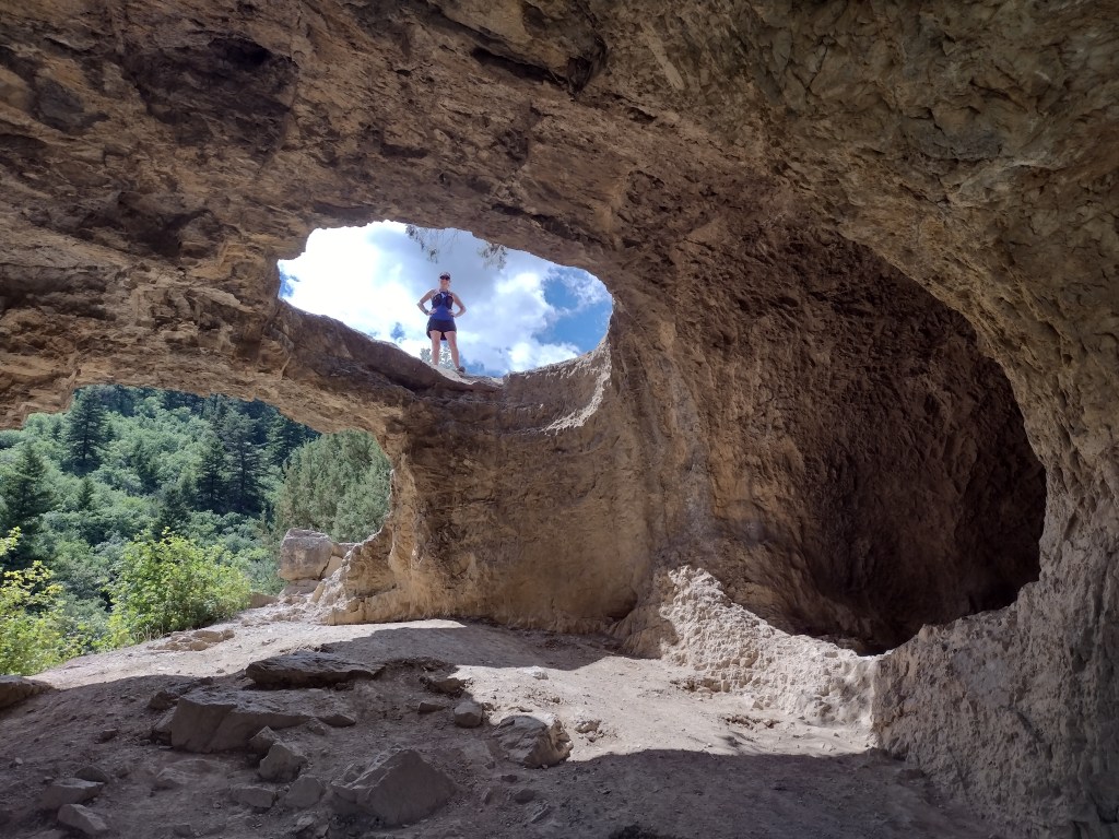
Beaver Canyon Scenic Byway, Wildcat Guard Station, Tushar Mountains, Delano Peak, Bullion Falls, Pistol Rock, Koosharem Canyon, Fishlake Scenic Byway, Fool Creek Canyon petroglyphs, Blue Lake, Bullion Canyon Trail System, Skyline National Recreation Trail, Lakeshore Trail, Old Spanish National Historic Trail
Must-Do Activity
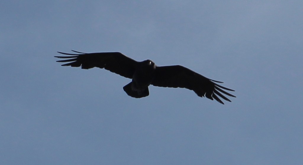
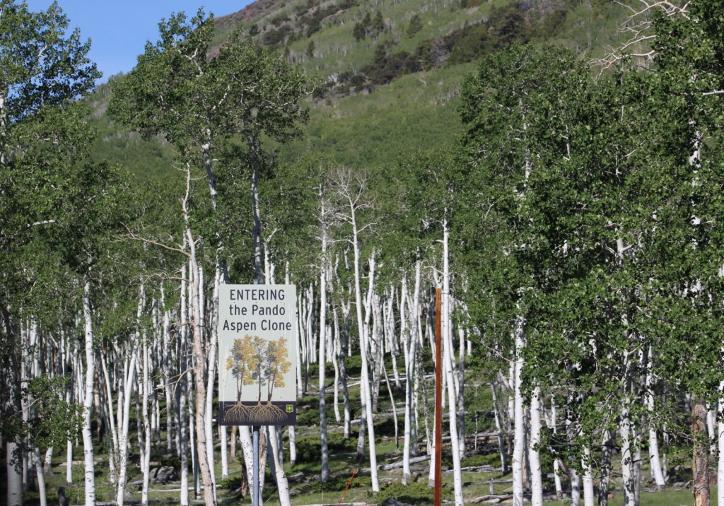
Fish Lake’s most famous resident is the aspen clone dubbed Pando (meaning “I spread” in Latin). Connected by a single root system, stems of Pando cover 106 acres and it is estimated to have started growing 80,000 years ago, arguably making it the oldest and heaviest living organism on the planet. Campers enjoy the popular Lakeshore Trail that is in four discontinuous sections adding up to about 15 miles. We found the road to Pelican Promontory on the north side of the lake too rough for our passenger vehicle and the five-mile Pelican Canyon Trail too overgrown to follow after a mile, although we did see (and hear) a northern goshawk on nest.
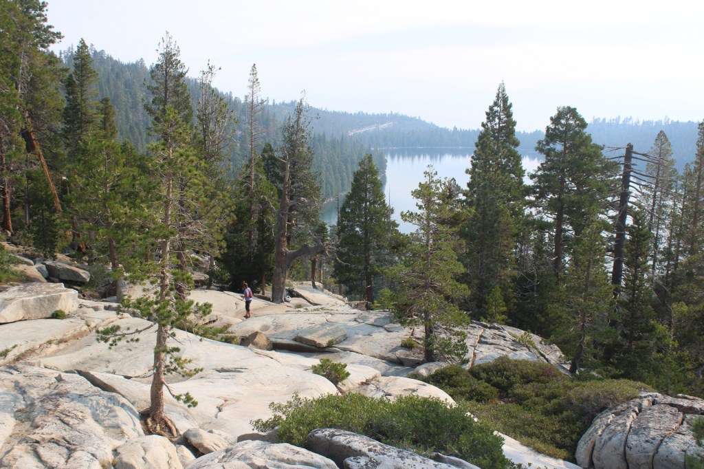
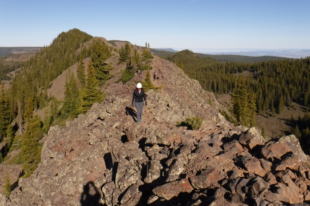
Best Trail
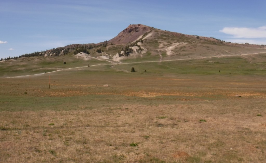
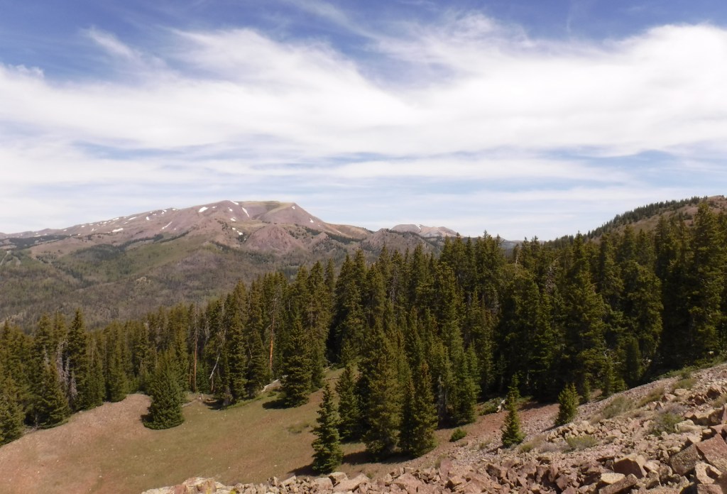
In the Tushar Mountains, Beaver Canyon Scenic Byway (Highway 153) switchbacks its way up to several trailheads for the 8.3-mile-long Skyline National Recreation Trail. We attempted to access Lake Stream Trailhead in the middle, but found the road at Puffer Lake required high-clearance. Instead, we drove the rough quarter-mile spur road to Big Flat Trailhead (at 10,220 feet in elevation) and hiked two miles to a rocky outcrop with good views. We did not attempt to drive to the trail’s western terminus at Big John Flat Trailhead that sits beneath 12,173-foot Delano Peak.
Watchable Wildlife
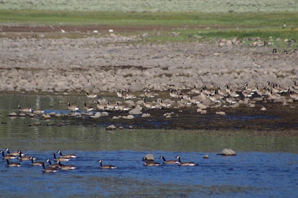
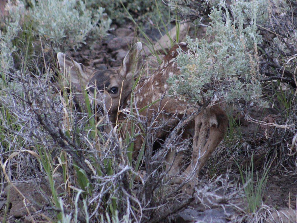
We first heard and then saw a northern goshawk on a nest (see photos) as we struggled to follow the overgrown Pelican Canyon Trail at Fish Lake. Additional birds of note are bald eagles, kestrels, several species of owls, turkey vultures, Canada geese, white pelicans, and wild turkeys. Ungulates found here are elk, mule deer, pronghorns, bighorn sheep, mountain goats, and even some moose. Other large mammals include black bears, bobcats, mountain lions, red foxes, coyotes, pine martens, minks, badgers, porcupines, beavers, snowshoe hares, and pika. As you might expect from a National Forest named Fishlake, fishing is a popular activity in the lakes and streams for rainbow trout, lake trout, splake, and other species, even in the winter.
Instagram-worthy Photo
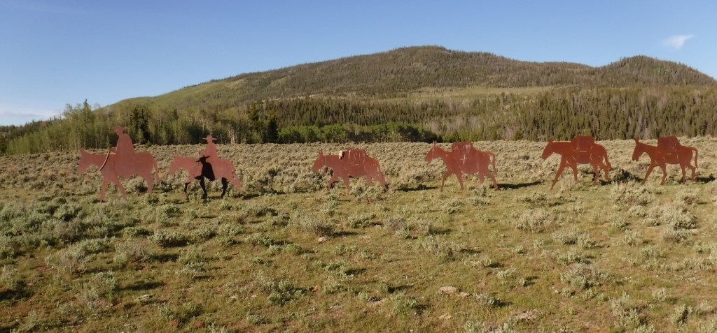
Stop at the informational pullout on the Fishlake Scenic Byway to read about the Fish Lake Cutoff of the Old Spanish Trail, then get your photo with the metal cutouts of a pack train in the sagebrush flats near Zedd’s Meadow.
Peak Season
Summer
Fees
$5 day use fee at Ponderosa Picnic Area or America the Beautiful pass
Road Conditions
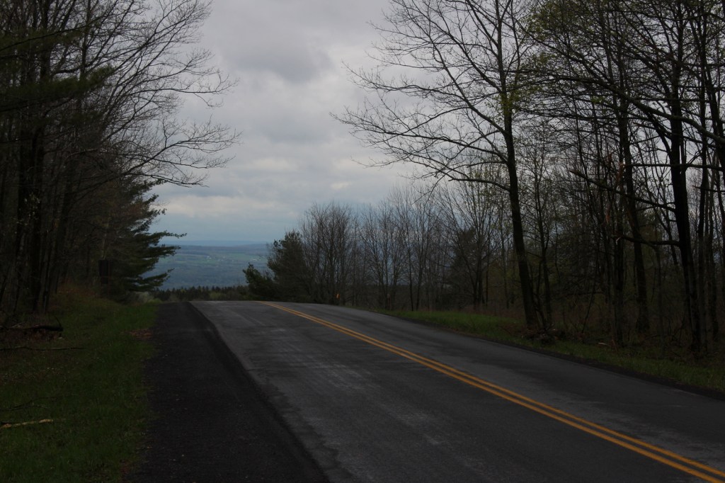
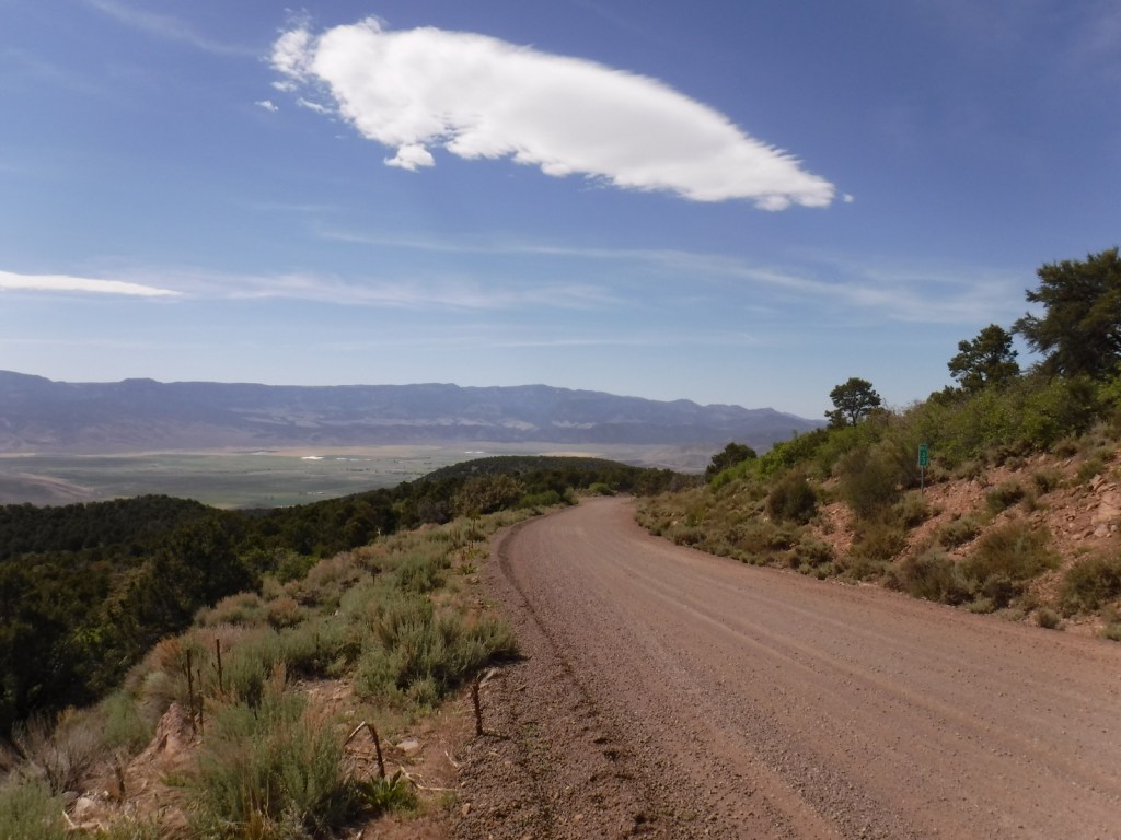
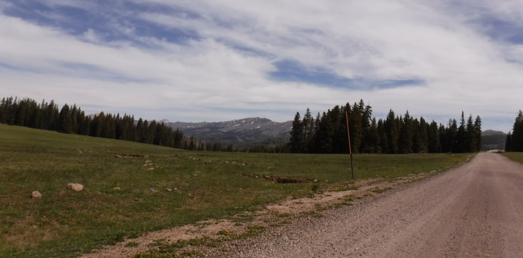
There are some rough roads in this area that require high-clearance vehicles, including the ones to Pelican Promontory and Puffer Lake. Fishlake Scenic Byway and Beaver Canyon Scenic Byway are paved, but connecting between the two required driving some good gravel roads that were already snow free during our mid-June visit.
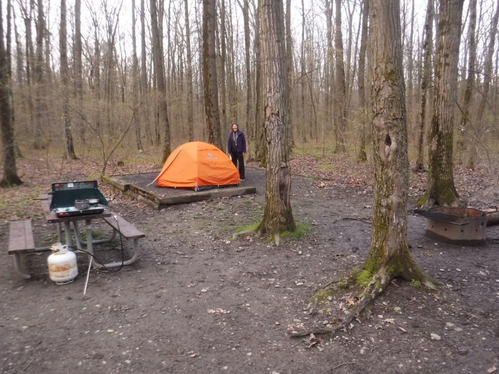
Camping
The Aquarius Ranger Station is available for rental from May through October, as are the historic cabins at the Gooseberry Administrative Site. There are several campgrounds at Fish Lake and others located throughout the National Forest, in addition to one scenic spot on a ridge adjacent to the Second Crossing of Salina Creek in the White Mountains.
Wilderness Areas
None
Related Sites
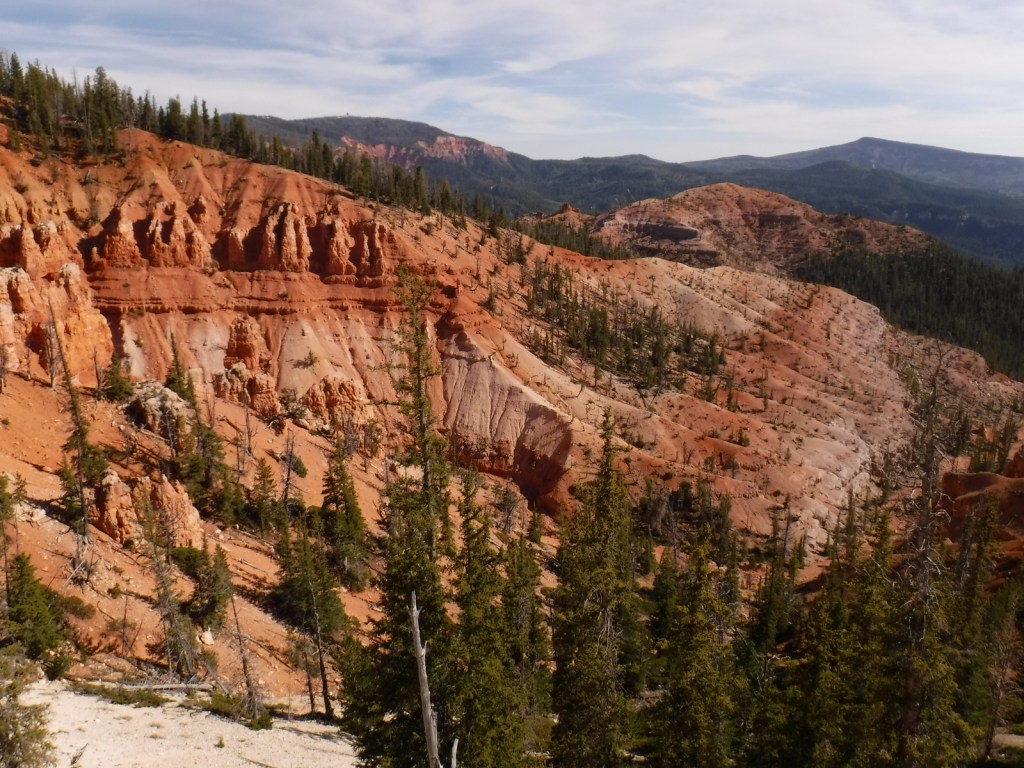
Dixie National Forest (Utah)
Bryce Canyon National Park (Utah)
Cedar Breaks National Monument (Utah)
Nearest National Park


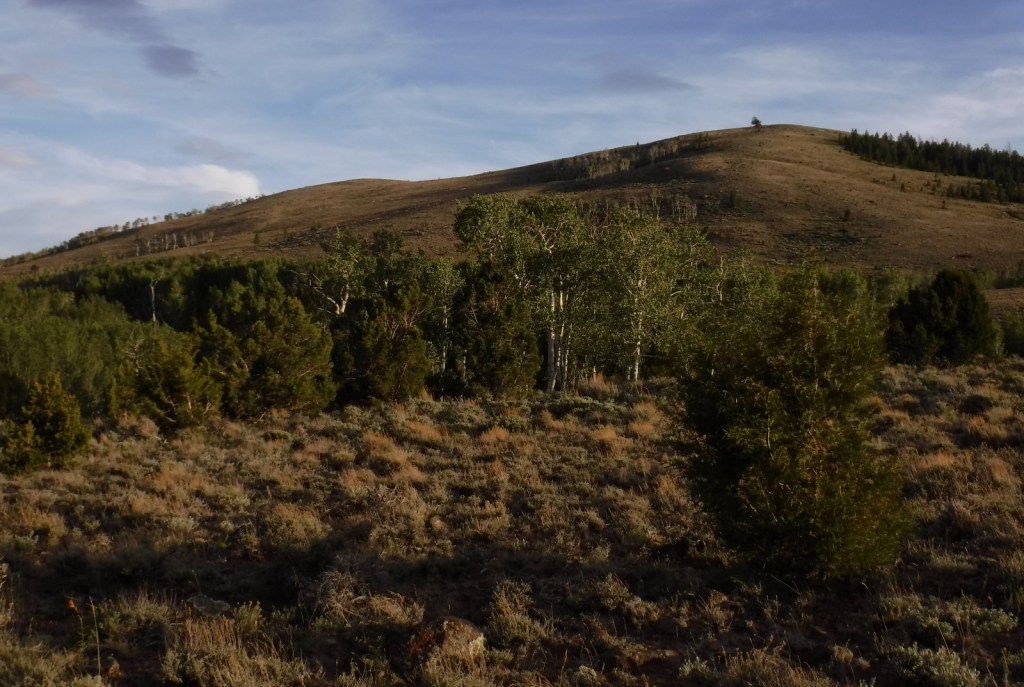

subalpine fir, white fir, Engelmann spruce, Douglas-fir, ponderosa pine, singleleaf pinyon pine, Utah juniper
quaking aspen, Gambel oak, bigtooth maple, Fremont cottonwood, sagebrush
Explore More – Which famous American explorer named the Old Spanish Trail in the 1840s (hint: he has a National Forest named after him, but maybe not the one you first think)?

Learn more about this and the 154 other National Forests in our new guidebook Out in the Woods
We are a participant in the Amazon Services LLC Associates Program, an affiliate advertising program designed to provide a means for us to earn fees by linking to Amazon.com and affiliated sites.