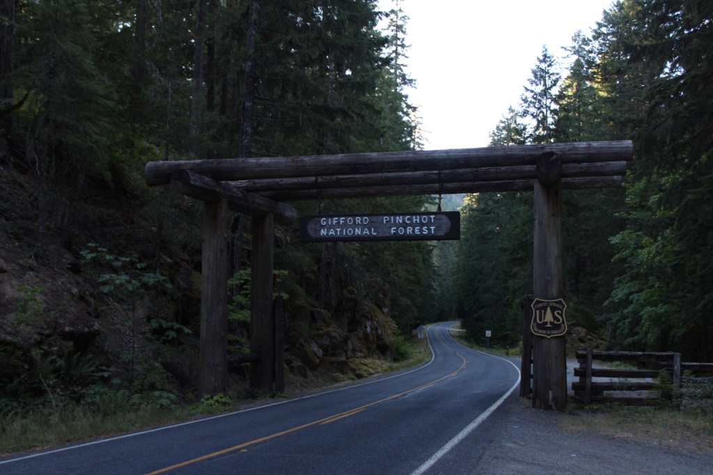
Gifford Pinchot National Forest
Washington
Managed by U.S. Forest Service, Pacific Northwest Region
1,409,966 acres (1,321,506 federal/ 88,460 other)
Website: https://www.fs.usda.gov/giffordpinchot/
Overview
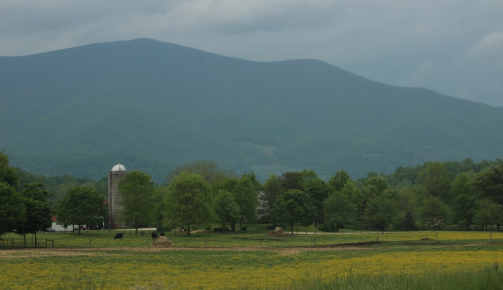
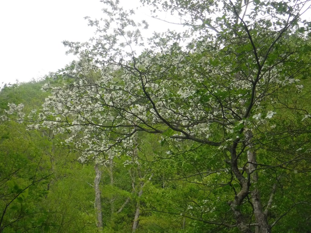
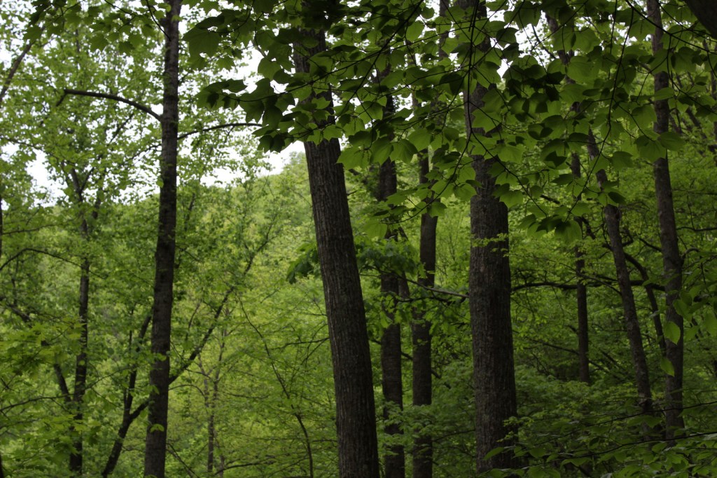
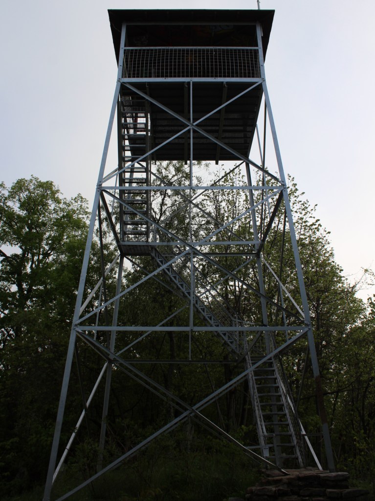
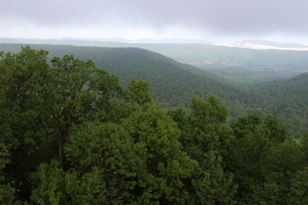
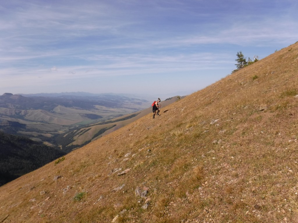
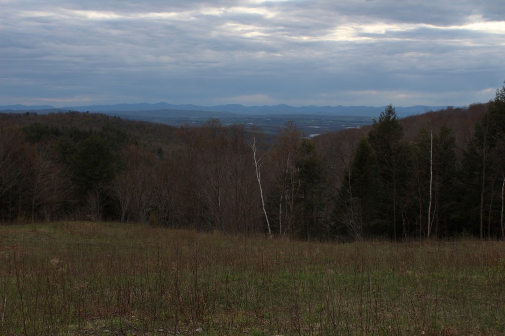
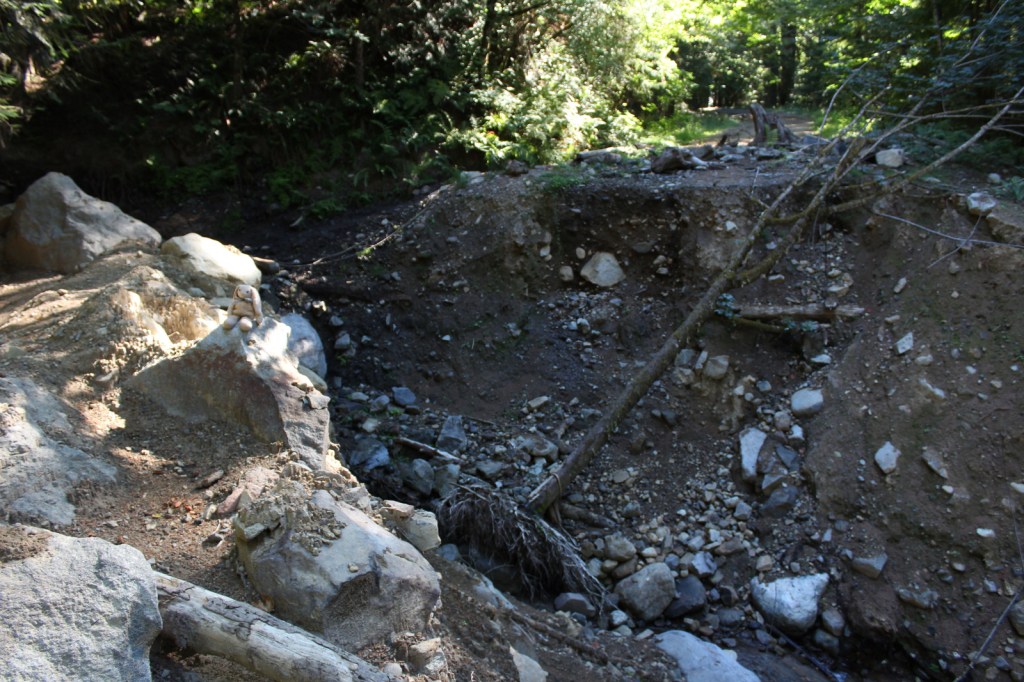
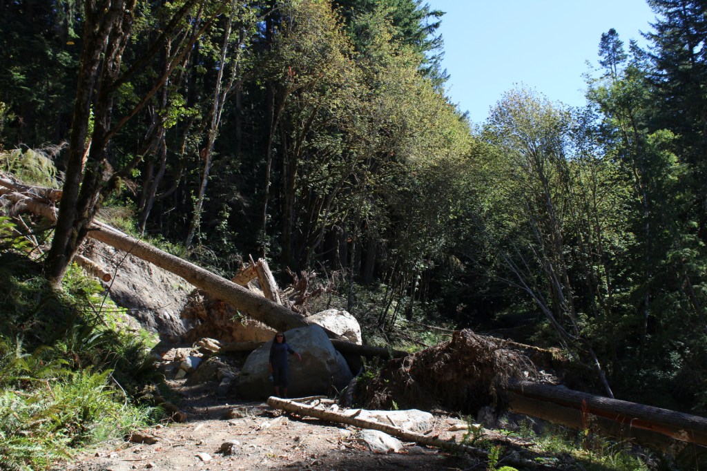
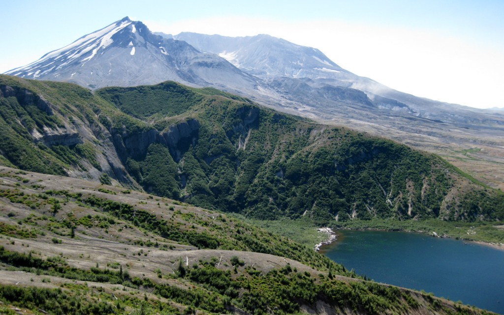
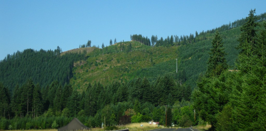
First set aside as Mt. Rainier Forest Reserve in 1897, nearly one-million acres were renamed Columbia National Forest in 1908. It became Gifford Pinchot National Forest in 1949 to honor the chief of the U.S. Division of Forestry (1898-1905) and first chief of the U.S. Forest Service (1905-1910). The Yale graduate studied forestry in Europe and his family founded the Yale Forest School (see Grey Towers National Historic Site). Gifford Pinchot National Forest borders the Columbia River to the south, across from Oregon’s Mt. Hood National Forest. It stretches north to Mt. Rainier National Park and contains 12,276-foot Mt. Adams (the state’s second tallest volcano) and Mt. St. Helens, which was designated a National Monument after its eruption on Sunday, May 18, 1980. There are 1,475 miles of trails and more than 4,000 miles of roads in the National Forest, so there is plenty to explore outside the volcanoes.

Highlights
Mt. St. Helens National Volcanic Monument, Silver Star Scenic Area, Lower Falls of the Lewis River, Tatoosh Range, Packwood Lake, Quartz Creek, Ape Cave, Langfield Falls, Horseshoe Lake, Panther Creek Falls, Ice Cave, Mt. Adams, Midway High Lakes Area, Takhlakh Lake, Lava Canyon Trail, Pacific Crest National Scenic Trail
Must-Do Activity
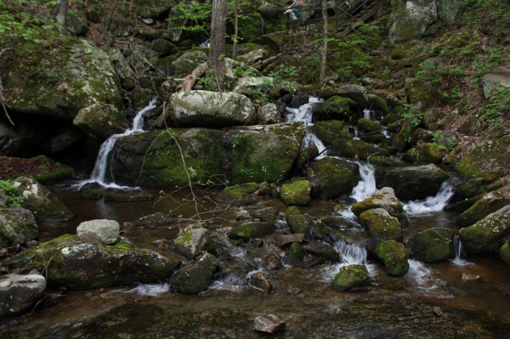
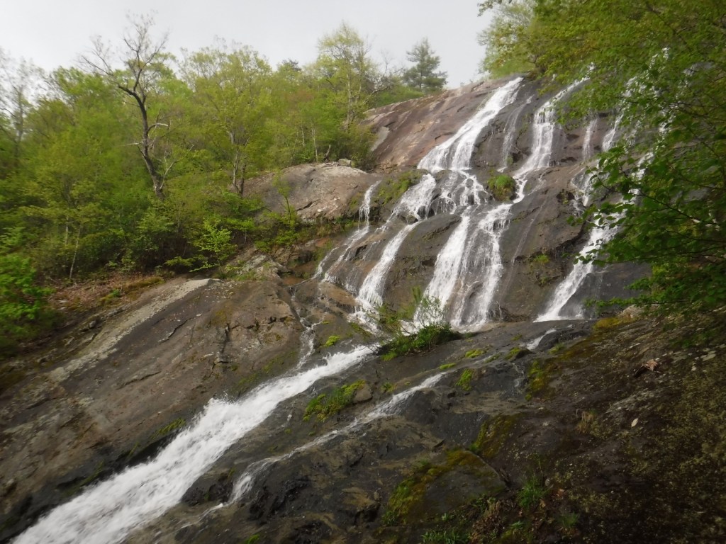
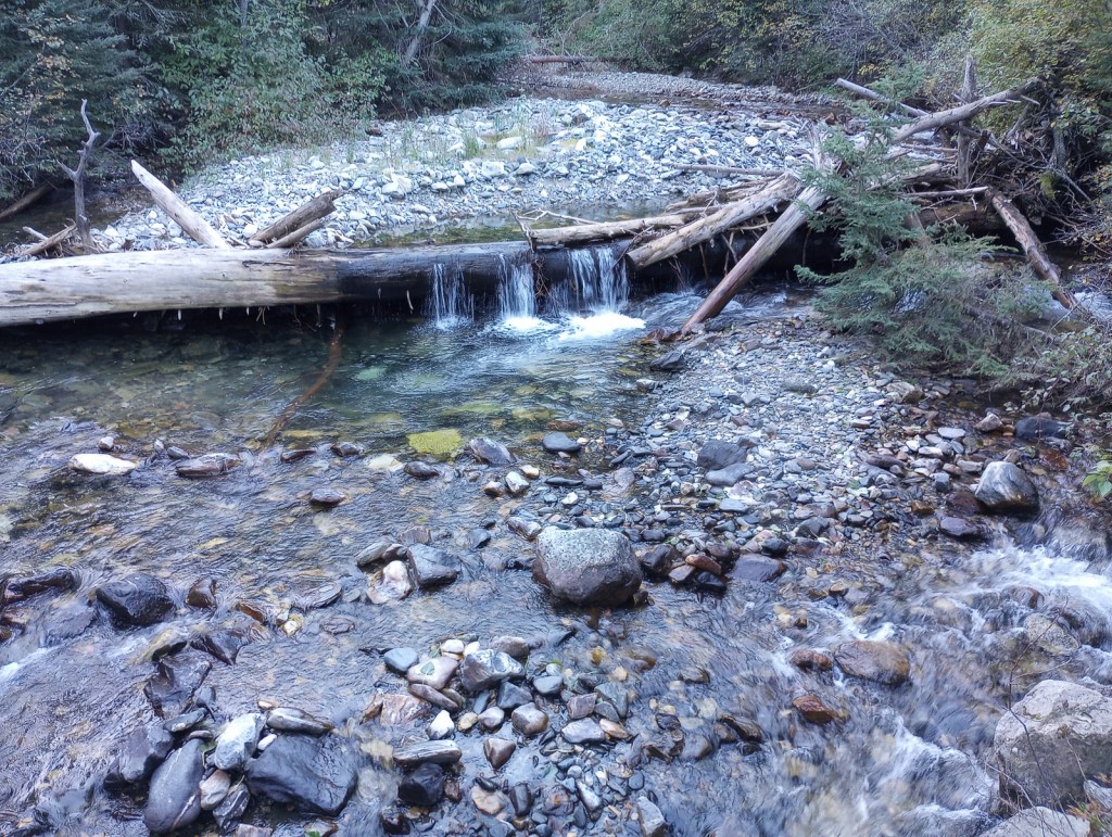
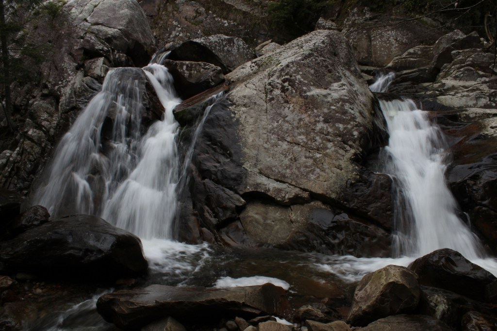
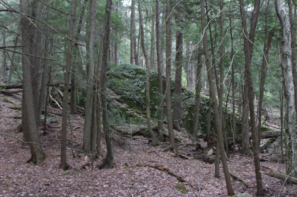
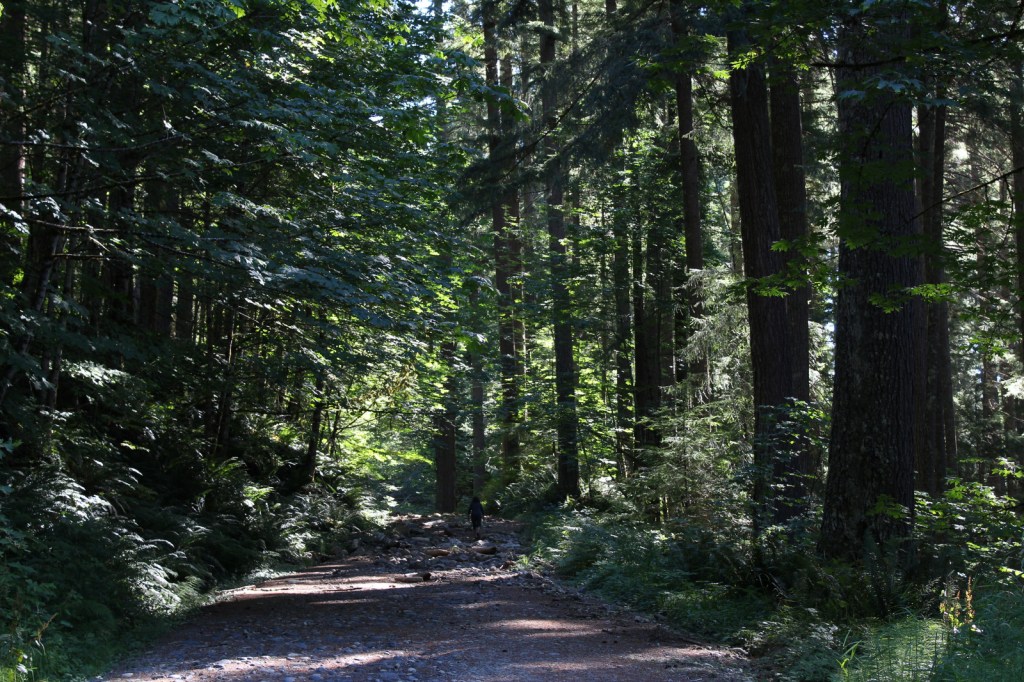
We will cover Mt. St. Helens National Volcanic Monument in a separate post, so here we will focus on the National Forest’s other attractions. North of Mt. St. Helens, a half-mile trail follows Quartz Creek through an old-growth forest of huge Douglas-firs. To the south, check out Lava Canyon Trail and Cedar Flats Research Natural Area where old-growth western redcedar trees are draped in lichen. There are numerous waterfalls in the National Forest, including dual Panther Creek Falls that drops 175 feet side by side and the triple Falls Creek Falls that cascades 150 feet. This lush region is also known for its berry picking, especially the renowned Sawtooth Berry Fields.
Best Trail
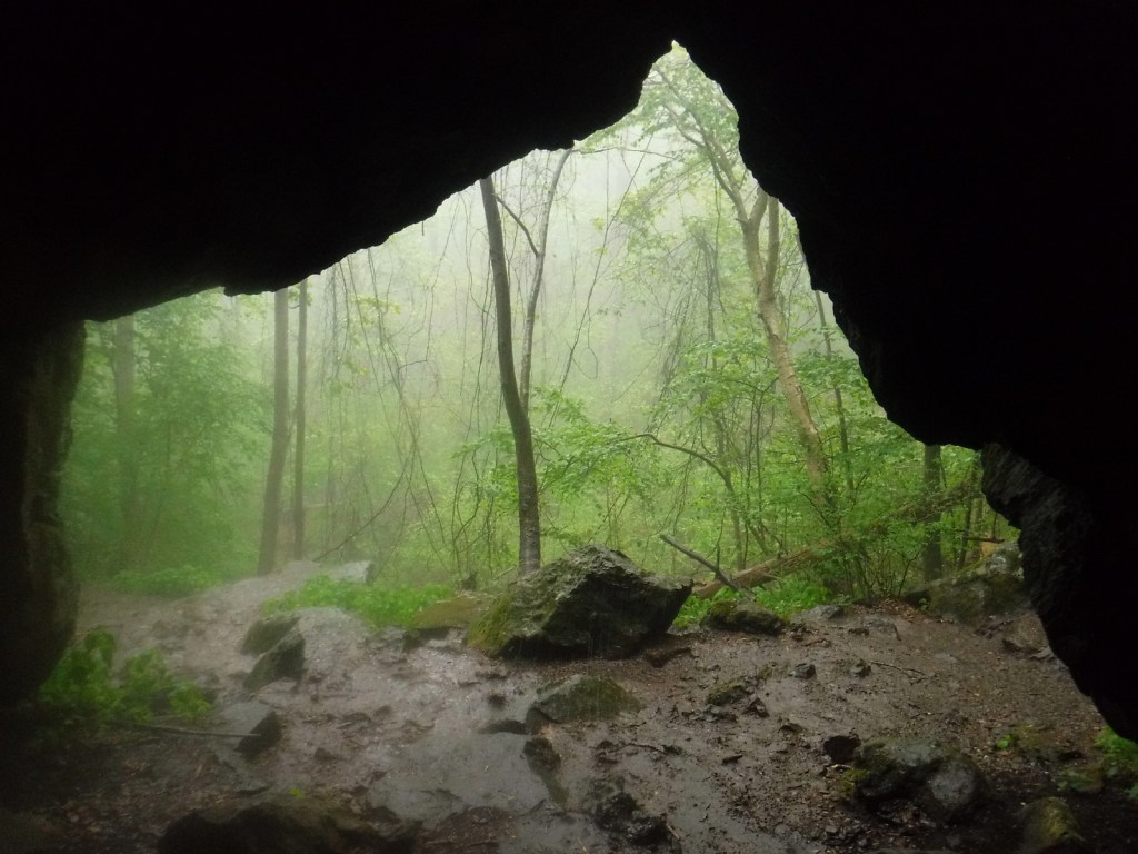
Ape Cave is a lava tube located south of Mt. St. Helens, which at 2.5 miles is the third longest in North America. The cave is not named for a fossil discovery, but rather the local Boy Scout troop that explored its interior in the 1950s after its discovery. It is believed that the lava tube formed during a basaltic flow 1,900 years ago. Ape Cave Trail is a National Recreation Trail receiving approximately 170,000 visitors annually (a timed reservation is required). There are two layers to the cave, a smoother 0.8-mile upper level and a rougher 1.5-mile lower level that requires scaling an eight-foot lava wall. Bundle up if you visit, as the underground temperature is 42°F year round. The 650-foot-long Ice Cave is another lava tube known for its ice stalactites in spring (reservation required).
Watchable Wildlife
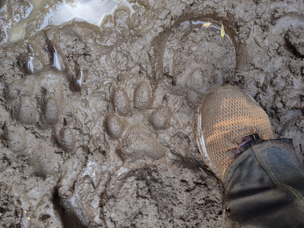
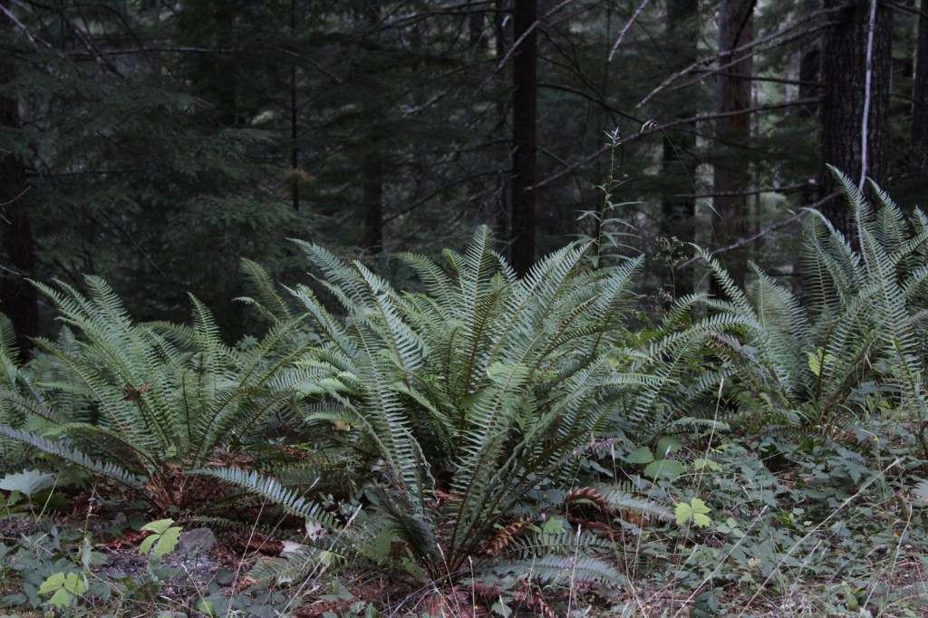
Located on the rainy side of the Cascades, Gifford Pinchot National Forest receives plenty of precipitation to feed its many rivers, including the glacier-fed White Salmon National Wild and Scenic River. Four species of fish identified as threatened inhabit this region’s waters: bull trout, steelhead, chinook salmon, and coho salmon. Another threatened species, the northern spotted owl requires buffer zones around its nests. Mammals of Gifford Pinchot National Forest include elk, black-tailed deer, black bears, bobcats, and several species of marmots. The wettest parts of the forest, especially in riparian corridors, have a variety of frogs, salamanders, and newts.
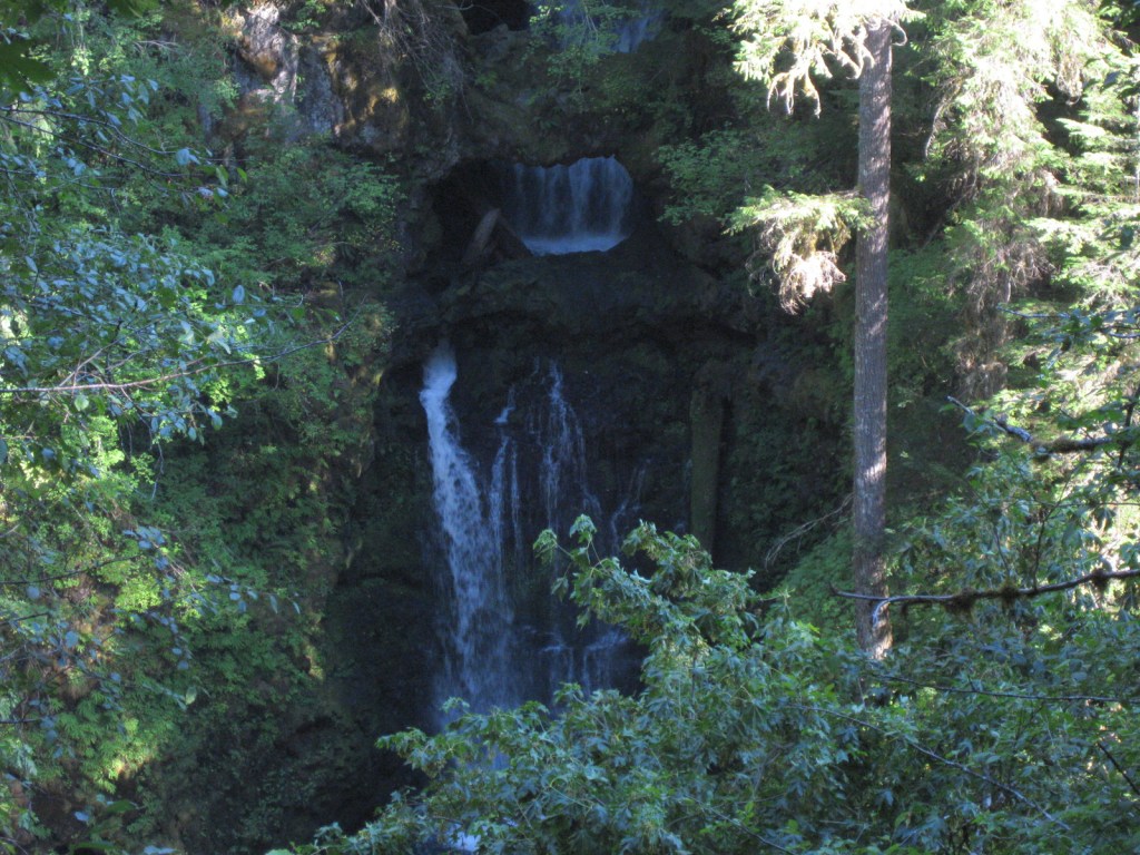
Instagram-worthy Photo
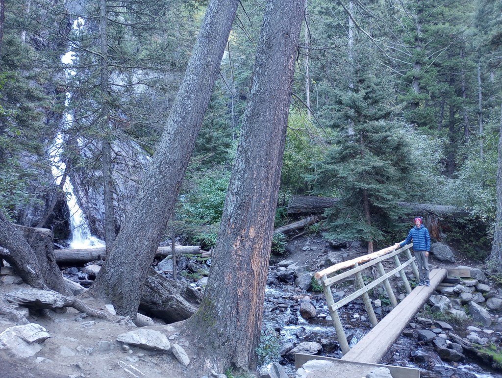
There are numerous waterfalls in this forest due to its high annual rainfall and steep elevation gradients.
Peak Season
Summer
Fees
An America the Beautiful Pass or Northwest Forest Pass ($5 day use) is required at many parking areas in the National Forest, including Ice Cave and Ape Cave (where a timed reservation is required from recreation.gov).
Road Conditions
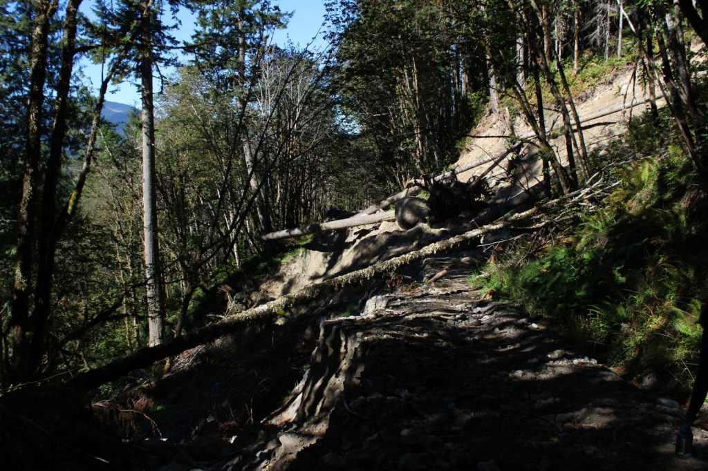
The major roads are paved to viewpoints in Mt. St. Helens National Volcanic Monument, but there are plenty of unpaved roads throughout the National Forest, some requiring high-clearance vehicles.
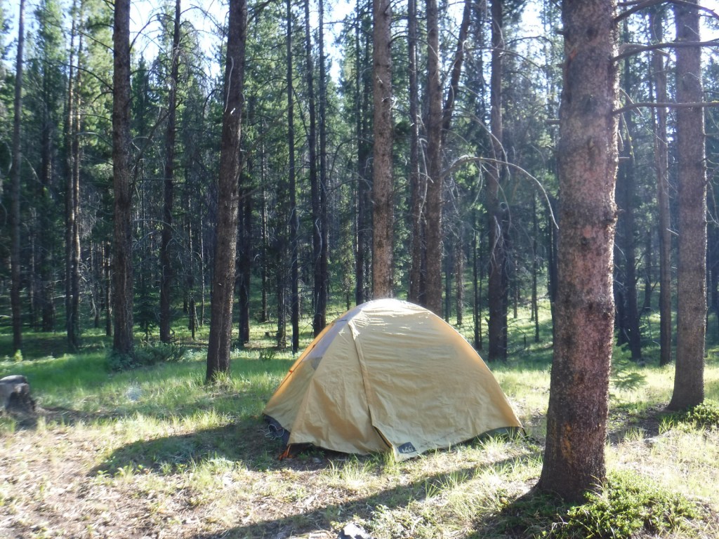
Camping
Iron Creek Campground north of Mt. St. Helens has two short trails, a quarter-mile trail through old-growth forest and one that follows a river 1.5 miles under a canopy of Douglas-fir and western redcedar. Dispersed camping is allowed throughout the National Forest, and we have camped here to avoid the crowds while visiting the beautiful waterfalls of Columbia River Gorge National Scenic Area, part of Oregon’s Mt. Hood National Forest.
Wilderness Areas
Dark Divide Roadless Area
Glacier View Wilderness
Goat Rocks Wilderness (also in Wenatchee National Forest)
Indian Heaven Wilderness
Mount Adams Wilderness
Tatoosh Wilderness
Trapper Creek Wilderness
William O. Douglas Wilderness (also in Wenatchee National Forest)
Related Sites
Mt. St. Helens National Volcanic Monument (Washington)
Ross Lake National Recreation Area (Washington)
Fort Vancouver National Historic Site (Washington)
Nearest National Park


Douglas-fir, western redcedar, Pacific silver fir, noble fir, subalpine fir, mountain hemlock, western hemlock, whitebark pine, lodgepole pine, Alaska yellow-cedar
balsam poplar, paper birch, willow, red alder, bigleaf maple, Pacific rhododendron
Explore More – In addition to the White Salmon River, which four other waterways in the National Forest have been recommended to be added to the Wild and Scenic River System?

Learn more about this and the 154 other National Forests in our new guidebook Out in the Woods
We are a participant in the Amazon Services LLC Associates Program, an affiliate advertising program designed to provide a means for us to earn fees by linking to Amazon.com and affiliated sites.