Overview
In Hopewell, Pennsylvania, the proximity of iron ore, limestone, and charcoal led to this iron furnace’s success from 1771 to 1883. It also needed water from French Creek to run the air blast machinery allowing the furnace to reach smelting temperature. During the American Revolution, it produced cannon, shot, and shells for the Continental Navy. The 848-acre National Historic Site was authorized in 1938, making it one of the oldest in the nation.

Highlights
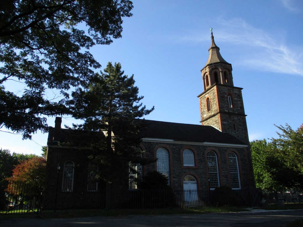
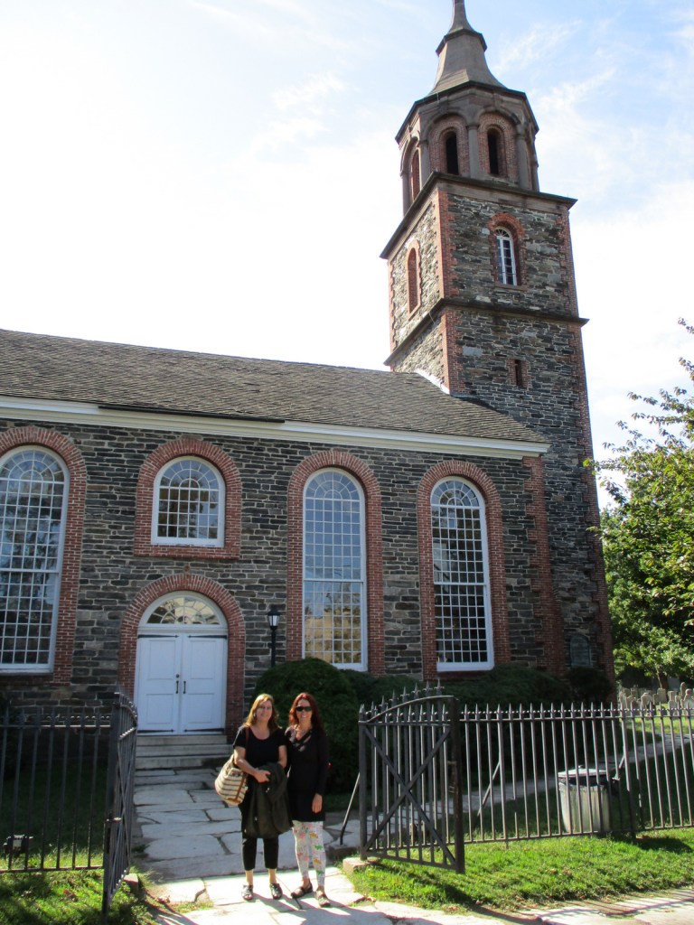
Anthracite furnace, film, cast house, tenant houses, ironmaster’s mansion, Bethesda Church
Must-Do Activity
Start with the short film at the visitor center, then take the self-guided walk through the “iron plantation.” Though the cold-blast charcoal process became outdated by 1883, the original furnace is still used each summer to produce aluminum products. Other costumed interpreters depict village life from late June to Labor Day. In September and October, visitors can pick 30 varieties of apples in the orchards for a small fee, similar to Capitol Reef National Park in Utah.
Best Trail
The site’s 12 miles of forested trails also connect into the neighboring French Creek State Park.
Instagram-worthy Photo
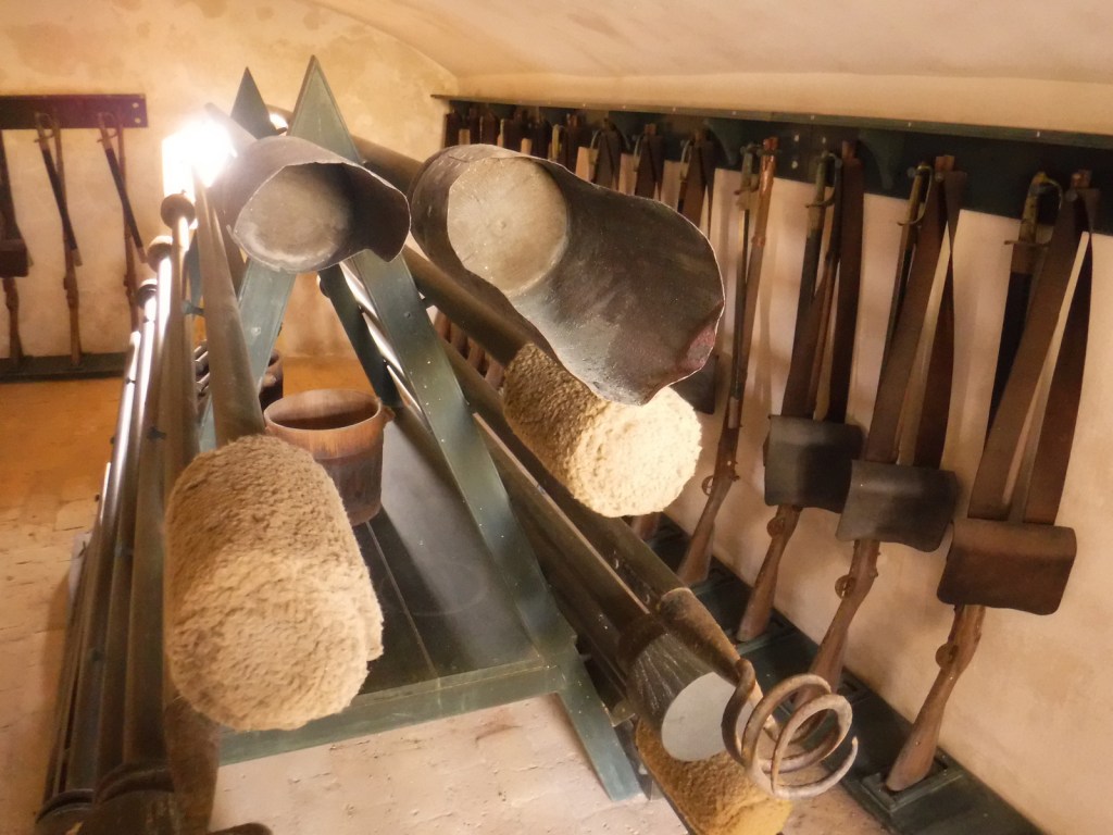
Inside the cast house, moulders cast molten iron into stove plates, cannonballs, and other products.

Peak Season
Summer and apple picking season
Hours
https://www.nps.gov/hofu/planyourvisit/hours.htm
Fees
None, but “you pick” apples cost $1 per pound
Road Conditions
Access roads are paved
Camping
French Creek State Park has more than 200 campsites with access to running water and showers.
Related Sites
Saugus Iron Works National Historic Site (Massachusetts)
Valley Forge National Historical Park (Pennsylvania)
Independence National Historical Park (Pennsylvania)
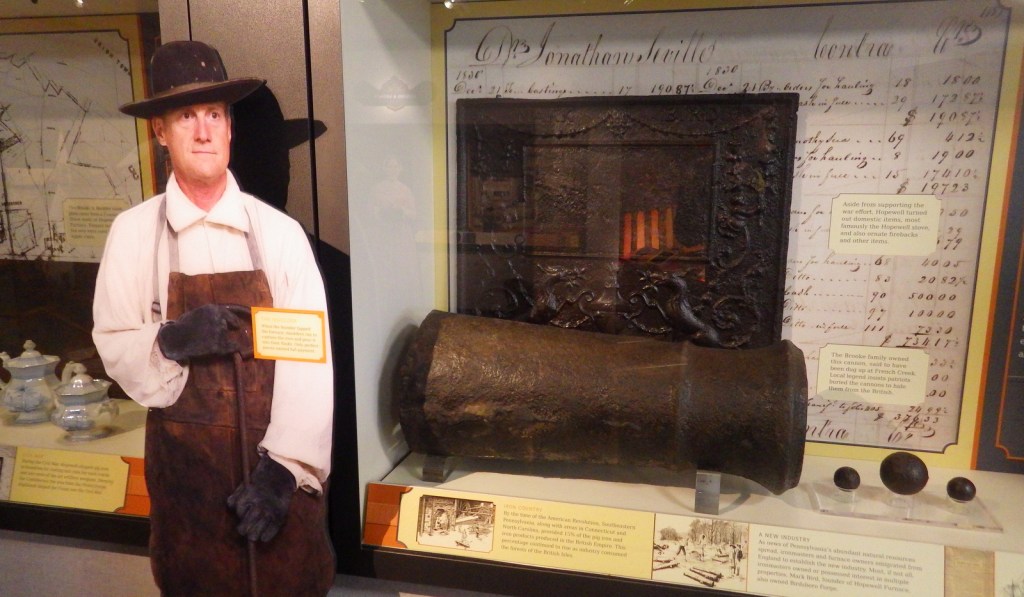
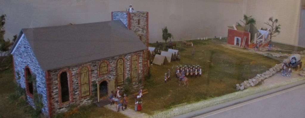
Start your visit inside the NPS museum 
Making charcoal was an important step in iron production 
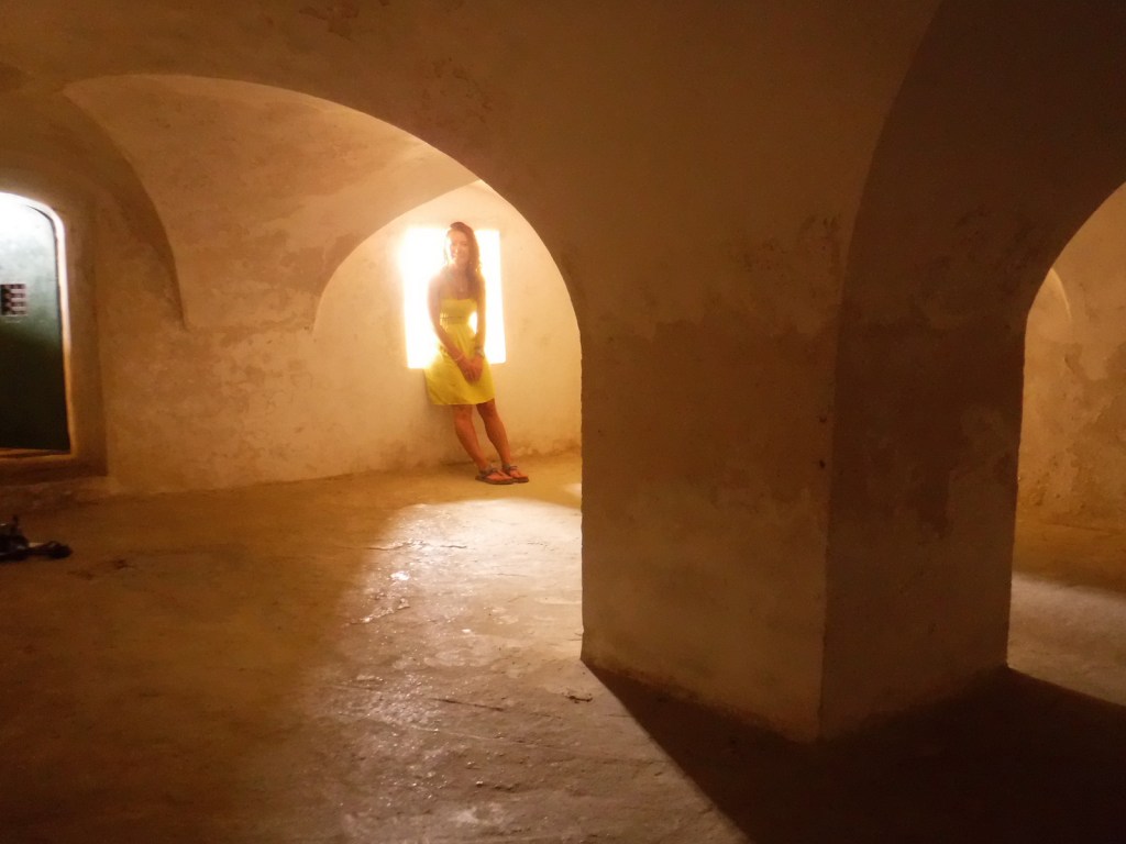
Tiff stands in an anthracite furnace that exploded 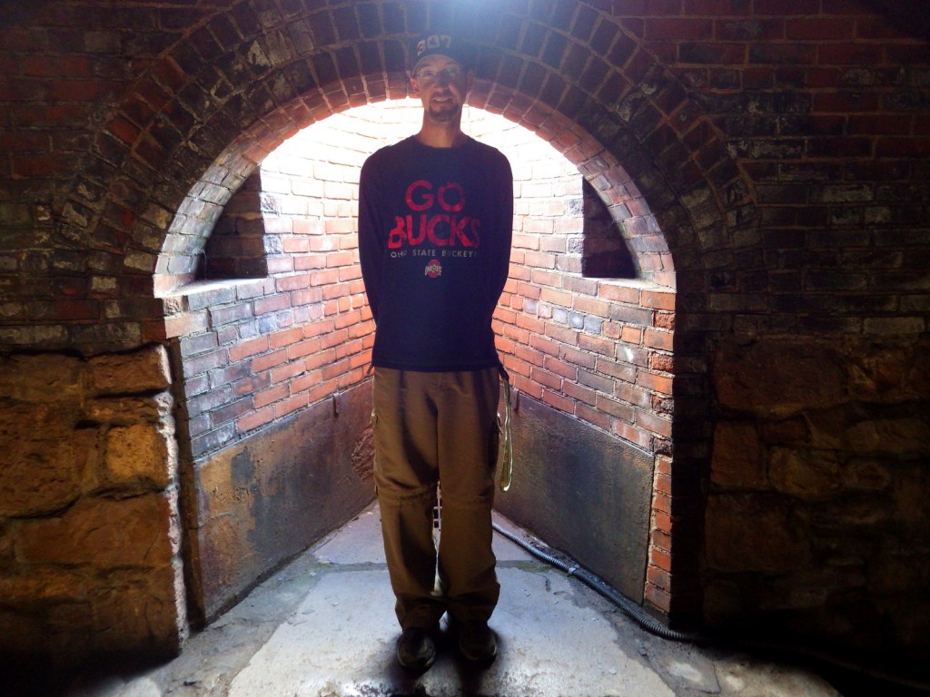
Scott at the furnace’s input chimney 
Water from French Creek powered the air blast machinery 
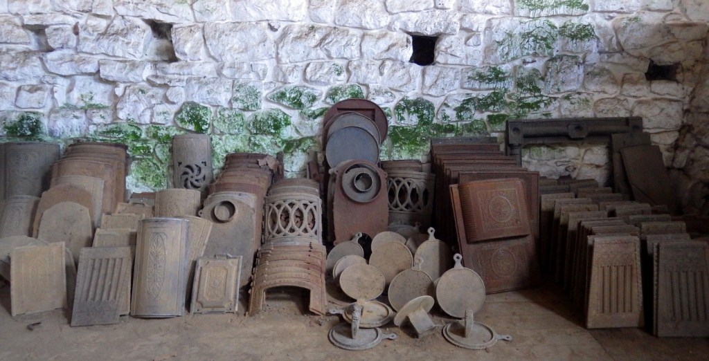
Franklin stove parts created at the furnace 
Ironmaster’s mansion 
Scott Inside the ironmaster’s mansion 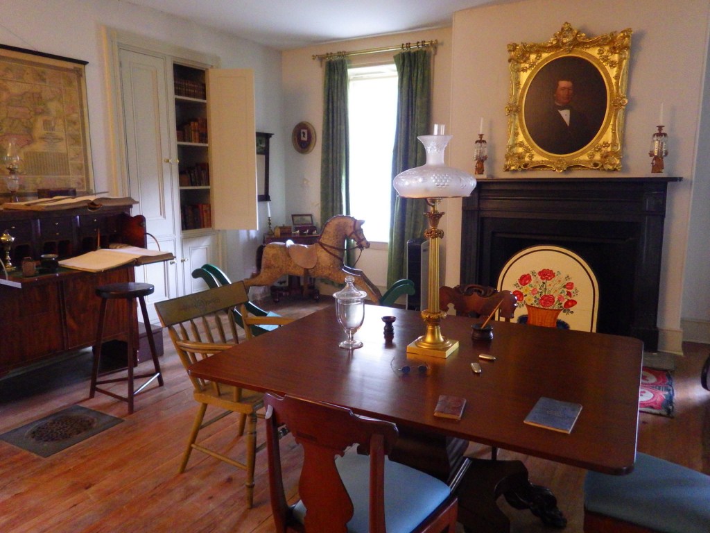
Inside the ironmaster’s mansion
Explore More – How high of a temperature could the Hopewell Furnace reach when smelting?